Wooded Hunting
For Sale
$423,000
TBD Raw Land, Bates, AR 72958
Land, Bates, AR
Property SizeContact for details
Lot Size141.00 Acres
Days on Market679
Property Features for TBD Raw Land
General Information
Property type
Land
Property subtype
Other
View
Water
Standard status
Active
Lot size
141.00 Acres
Utilities
Water front features
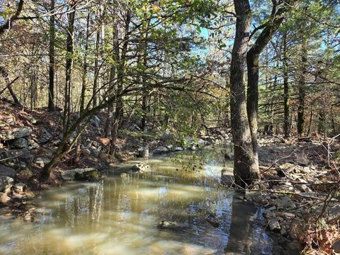
Creek
Listing Agency:
United Country-Mixon Realty & Auctions
(918) 839-4717
Listed By:
Bob Bowman
(918) 647-9114
Added: Nov 25, 2024
Changed: Sep 4
Last Checked: Oct 5 at 3:06AM
MLS# 11365702
Copyright © 2026 My State MLS. All rights reserved. All information provided by the listing agent/broker is deemed reliable but is not guaranteed and should be independently verified.
Investment Insights
Based on property information with market context.
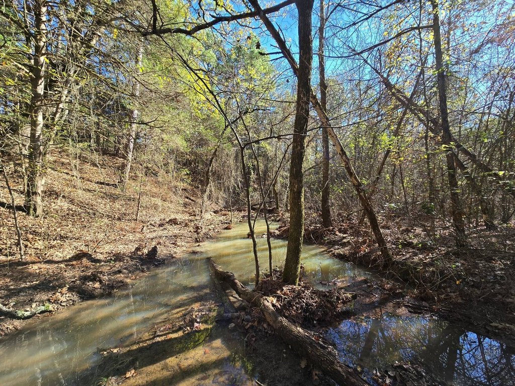
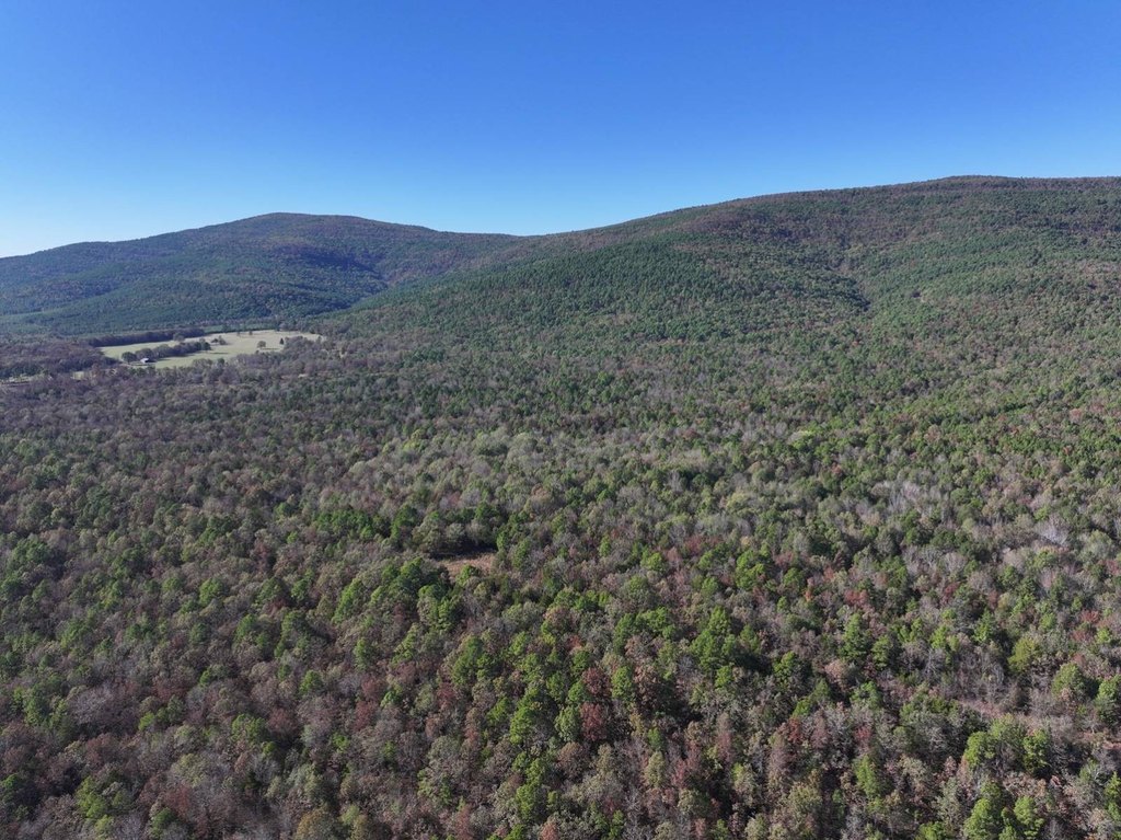
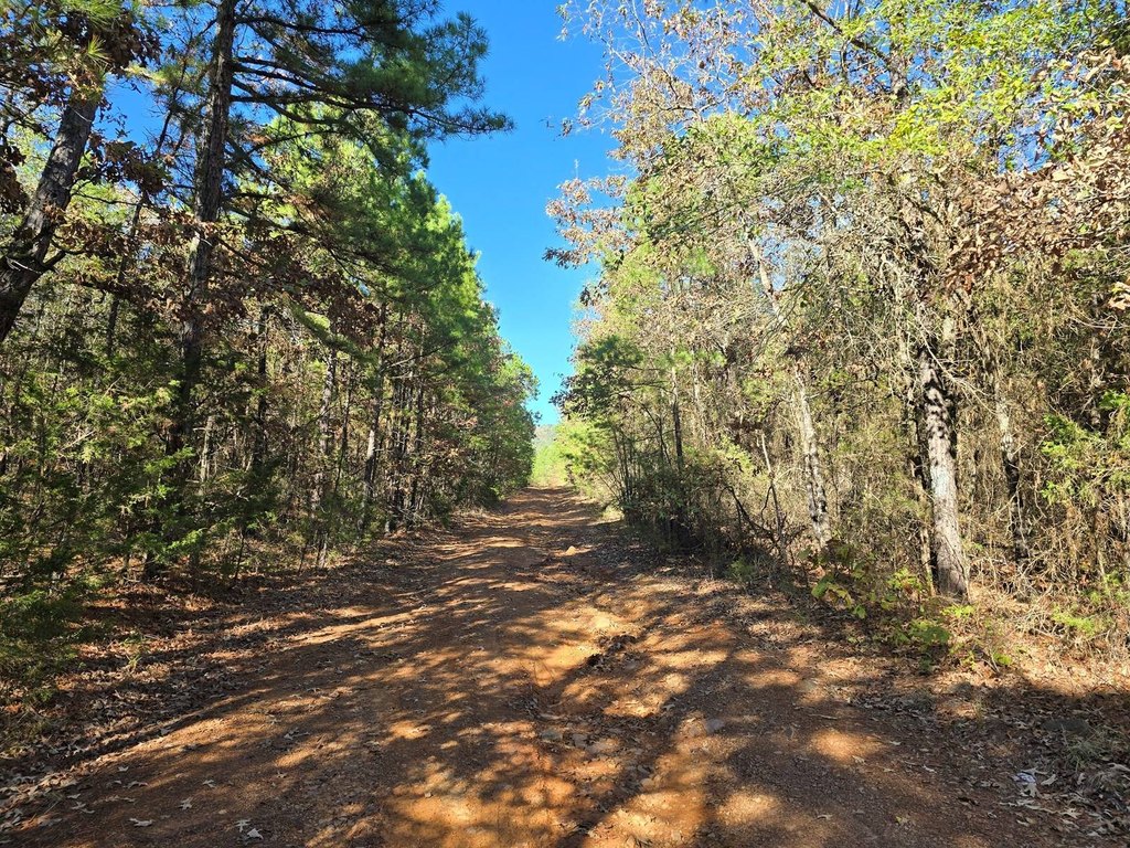
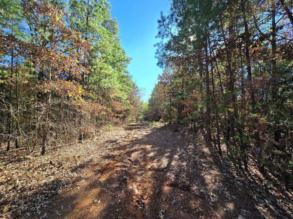
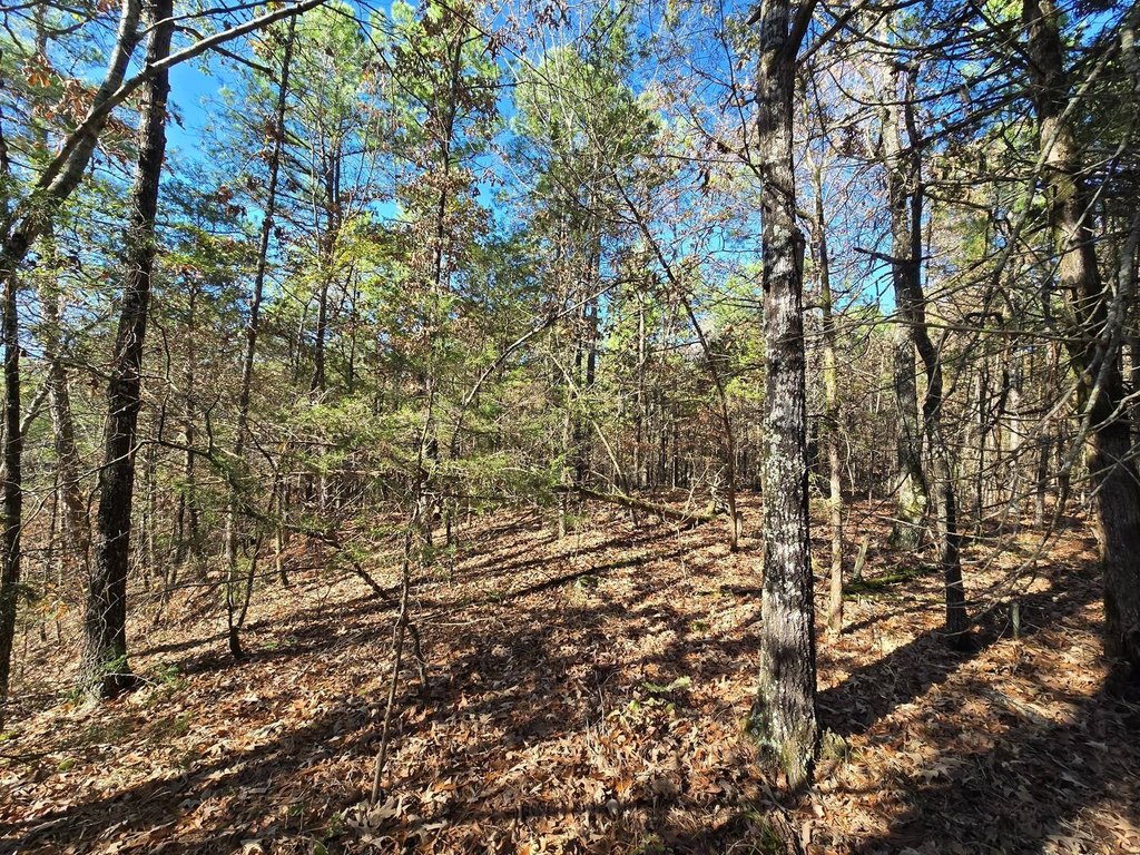
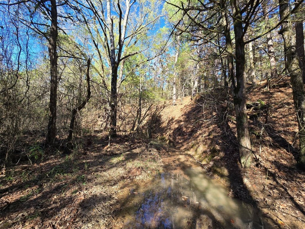
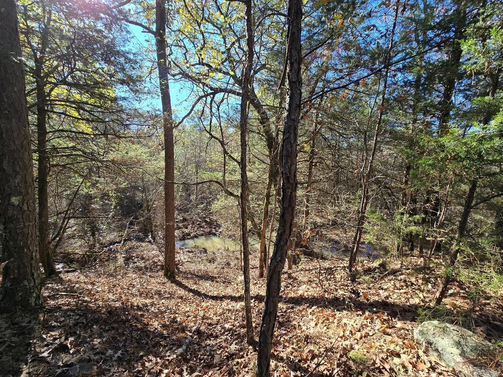
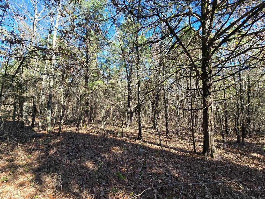
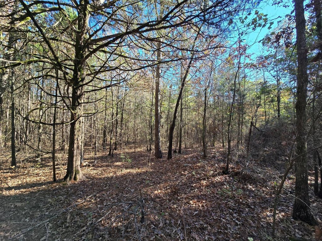
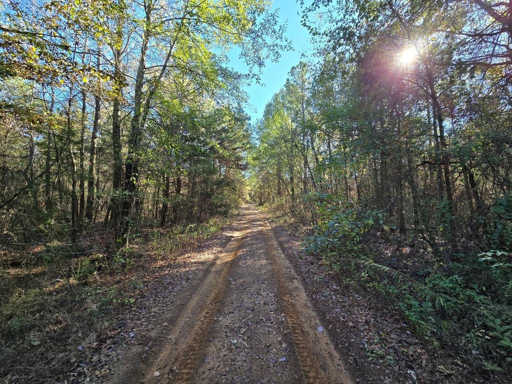
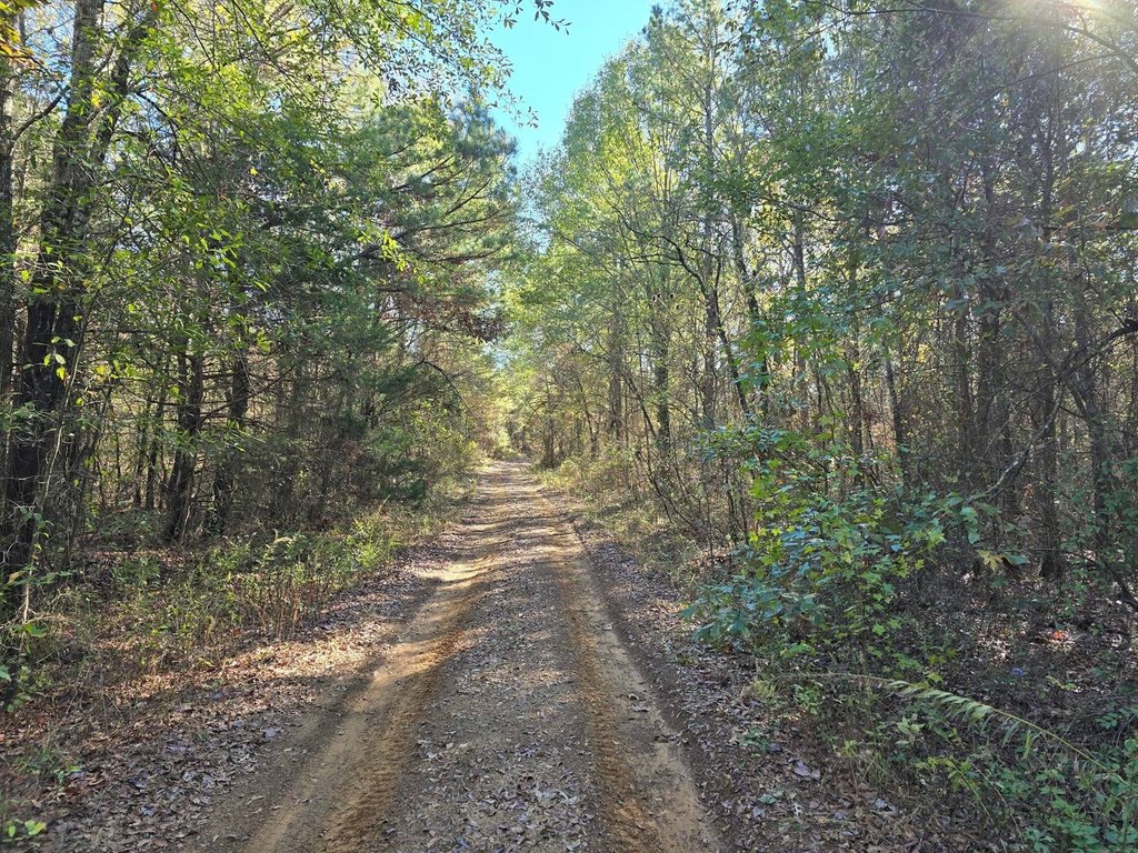
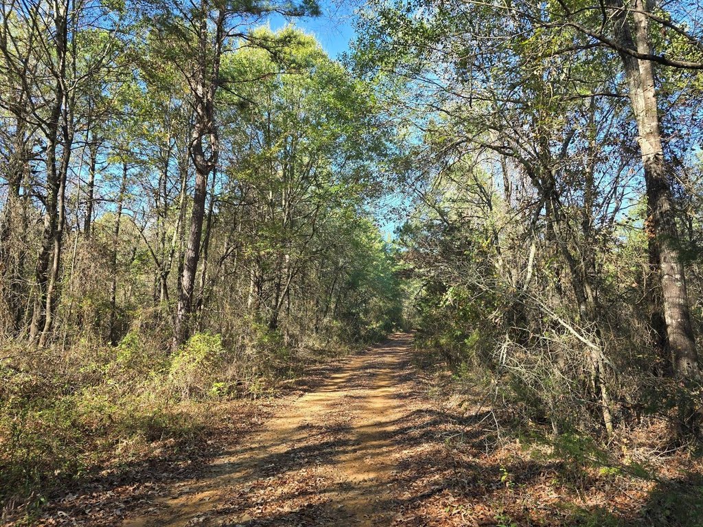
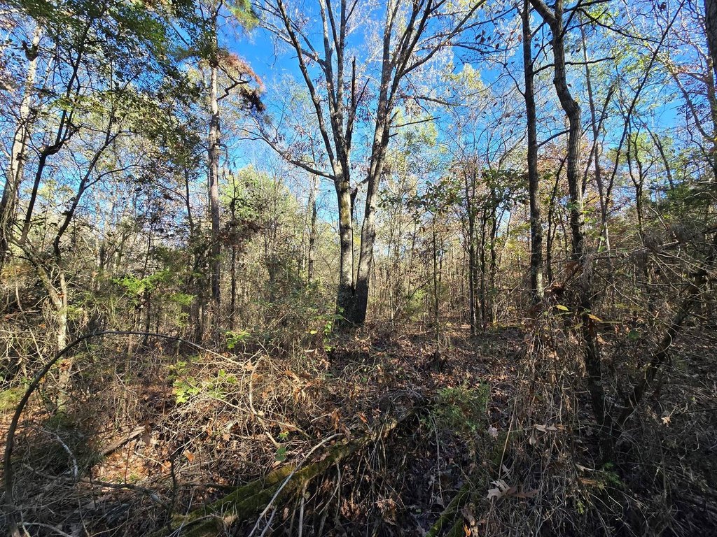
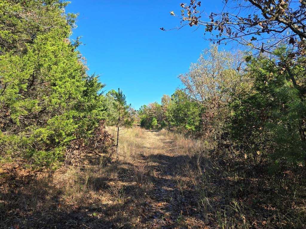
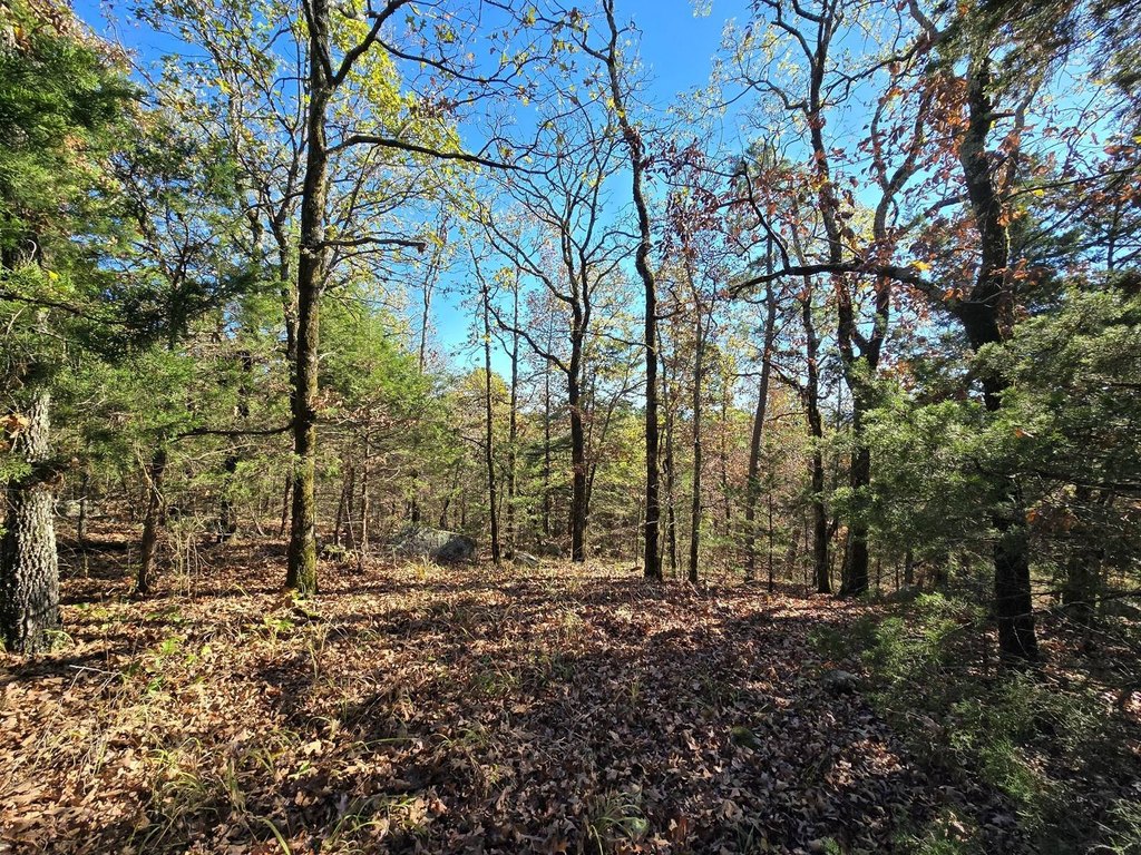
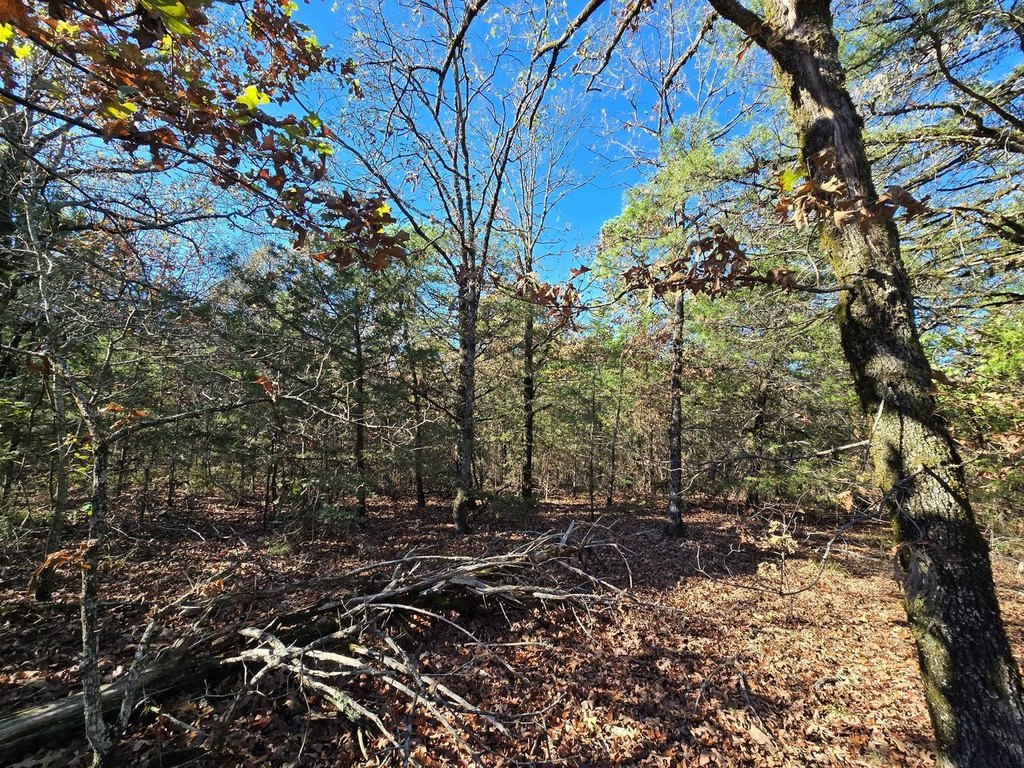
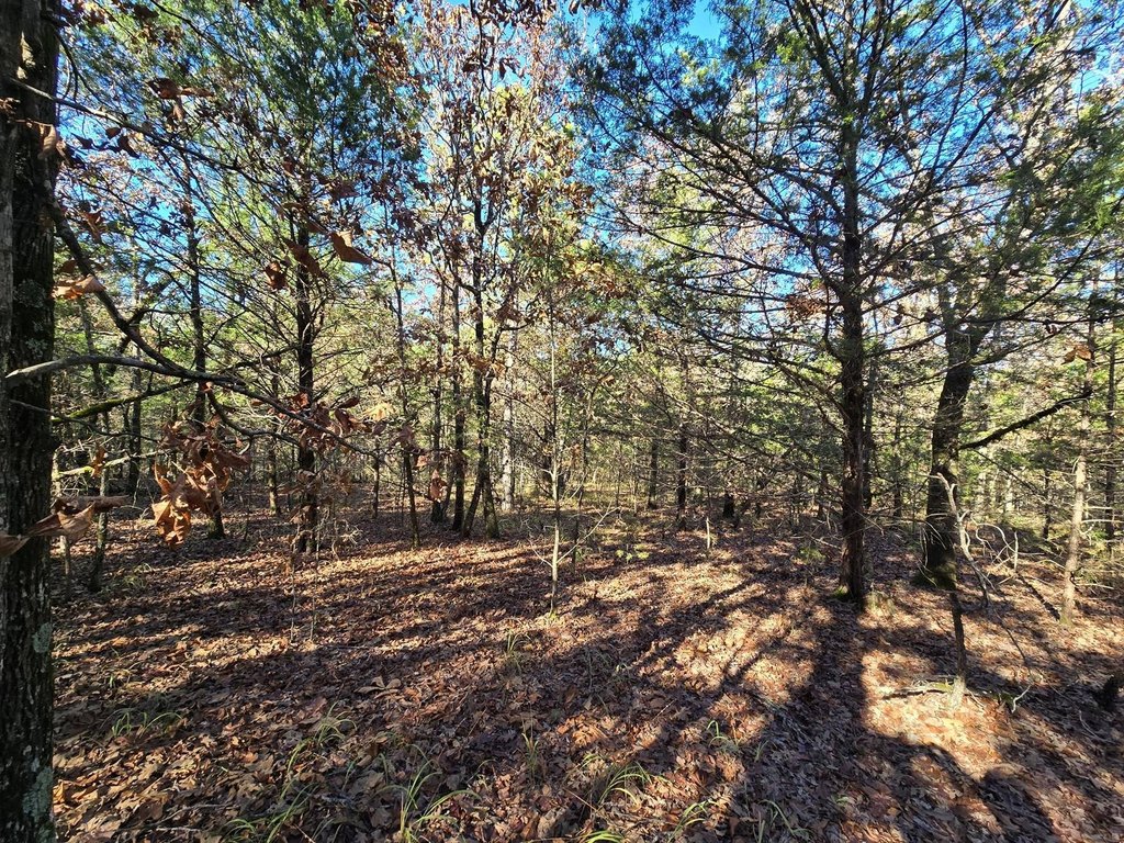
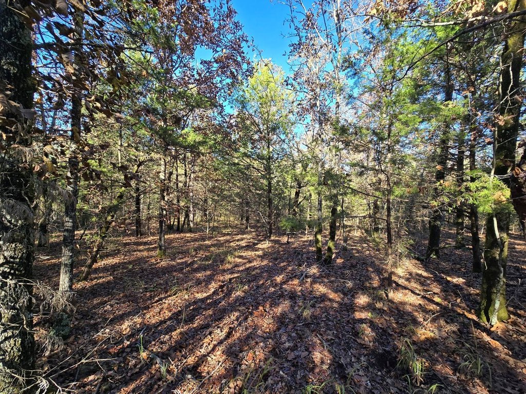
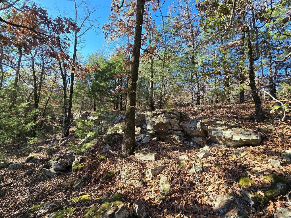
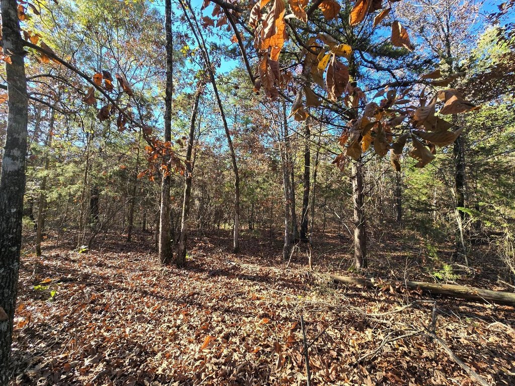
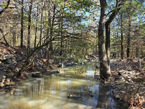
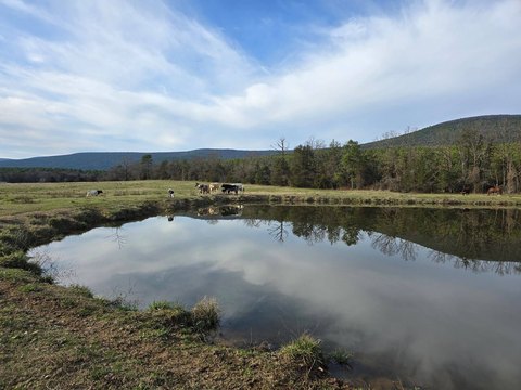
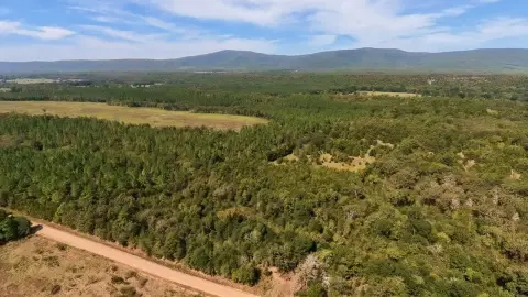
This 141-acre tract in southwestern Arkansas is an off-grid recreational property with all-weather legal access. The land includes native oak timber, scattered young shortleaf pine, and a mix of thinned areas and closed-canopy forest. Terrain ranges from flat to gently sloping, with several locations that could accommodate a recreational cabin. A seasonal stream crosses the property, and pond sites may provide opportunities for a year-round water source.
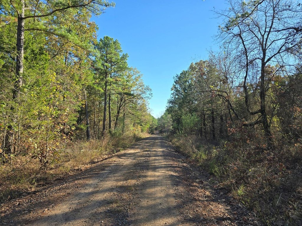
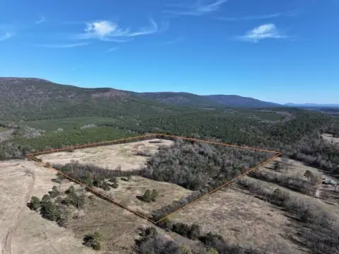
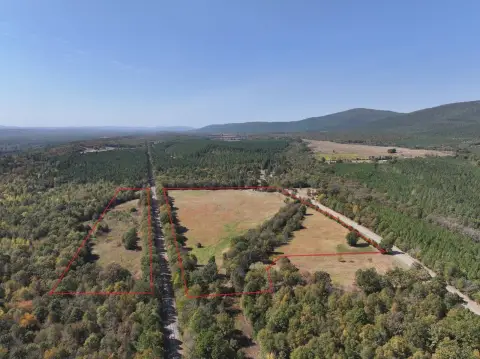
Poteau Mountain Road and Strip Pit Road border the east and part of the south sides, while a private road forms the north boundary. The property is roughly 1/2 mile from the 1.8 million acre Ouachita National Forest Area and within driving distance of Wister Lake State Park, Cedar Lake, Broken Bow Lake, and Sardis Lake. Wildlife identified for the area includes whitetail deer, eastern wild turkey, wild hogs, black bear, squirrel, rabbit, and quail. No deed restrictions are noted.
Poteau Mountain Road and Strip Pit Road border the east and part of the south sides, while a private road forms the north boundary. The property is roughly 1/2 mile from the 1.8 million acre Ouachita National Forest Area and within driving distance of Wister Lake State Park, Cedar Lake, Broken Bow Lake, and Sardis Lake. Wildlife identified for the area includes whitetail deer, eastern wild turkey, wild hogs, black bear, squirrel, rabbit, and quail. No deed restrictions are noted.
Key Highlights
- 141 acres (m/l) of wooded land
- Roughly 1/2 mile from the 1.8 million acre Ouachita National Forest Area
- All weather and legal access
Property Analytics
Current Use
Location Intelligence
Trade Area within ½ mile
2
Businesses Nearby
Explore this area
Business Placement
Demographics for 72958, AR
6,866
Population
3,199
Households
2.1
Avg Household Size
41
Median Age
10%
College-Educated
83%
High-School Grad
328.3 sq mi
ZIP Area
21
Density / Sq Mi
$43,655
Median Household Income
$31,364
Median Earnings
$727
Median Rent
$95,600
Median Home Value

Questions? Ask Rey
Realmo’s AI knows this listing — price, zoning, demand, history. Ask anything.
Frequently Asked Questions
What type of property is this?
Hunting land - Off-grid recreational acreage with legal access, timber, a seasonal stream, and varied wildlife habitat.
Where is this hunting land located?
The property is located at TBD Raw Land Bates, AR.
What is the asking price?
The asking price for this property is $423,000.
What are key features of this property?
This property features: 141 acres (m/l) of wooded land; Roughly 1/2 mile from the 1.8 million acre Ouachita National Forest Area; All weather and legal access


