Recreation Land with Oak
For Sale
$67,500
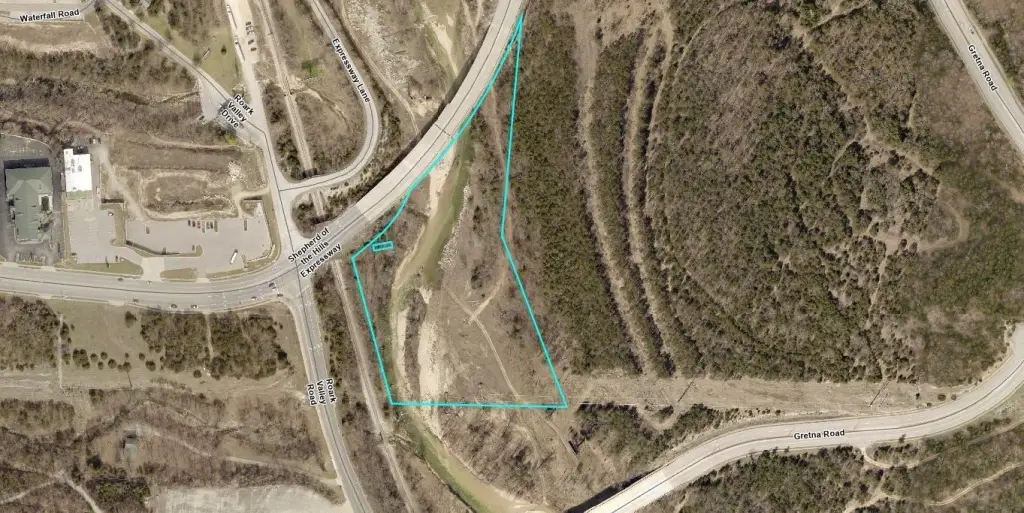
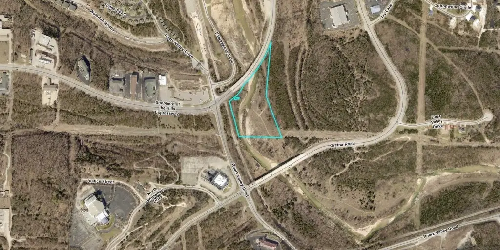
Shepherd Of The Hills Expressway, Branson, MO 65616
Land, Branson, MO
Property SizeContact for details
Lot Size7.00 Acres
Days on Market104
Property Features for Shepherd Of The Hills Expressway
General Information
Property type
Land
Property subtype
Other
Lot features
Wooded
View
River
Elementary school
Branson Buchanan
Middle school
Branson
High school
Branson
Directions
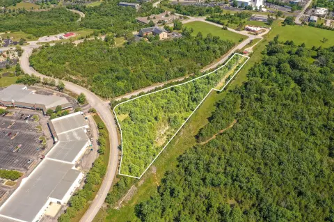
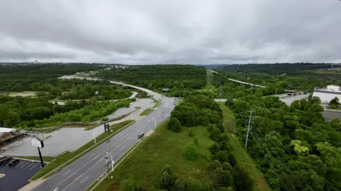
Corner of Shepherd of the Hills Expressway and Gretna Road., if going northbound to the right below he bridge. Access points to be verified with documents- Legal description of adjacent properties.
Standard status
Active
APN
07-7.0-36-000-000-002.022
Lot size
7.00 Acres
Taxes and HOA fees
Tax Year
2025
Tax Description
PT W2 NE4; E OF SHEPHERD OF THE HILLS EXPRESSWAY Lengthy Legal Description attached in MLS
Tax Annual Amount
331
Legal Description
PT W2 NE4; E OF SHEPHERD OF THE HILLS EXPRESSWAY Lengthy Legal Description attached in MLS
Listing Agency:
Weichert, Realtors-The Griffin Company
(417) 338-4500
Listed By:
La Nora Kay · License #2022041893
(417) 331-3200
Added: Jun 30
Changed: Sep 3
Last Checked: Oct 11 at 6:06PM
MLS# 60327757
Copyright © 2026 Southern Missouri Regional MLS, LLC (SOMO). All rights reserved. All information provided by the listing agent/broker is deemed reliable but is not guaranteed and should be independently verified.
Investment Insights
Based on property information with market context.
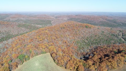
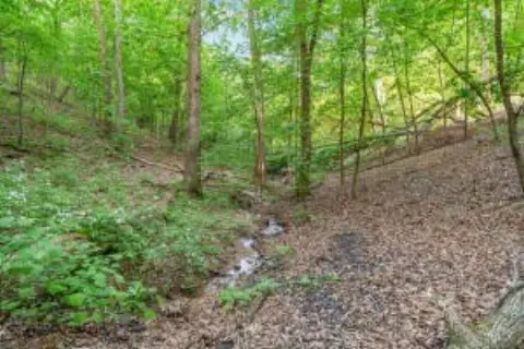
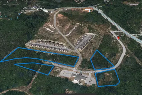
This 7 +/- acre recreation property is located along Shepherd Of The Hills Expressway in Branson, within Taney County. The land includes towering oak trees and a natural setting associated with Roark Creekside property, providing a defined outdoor character for recreational use.
Utility easements cross portions of the property. Access points should be confirmed against the attached legal description, and utility availability requires buyer verification. An adjacent 2.69-acre parcel is also available for sale under MLS#60327753.
Utility easements cross portions of the property. Access points should be confirmed against the attached legal description, and utility availability requires buyer verification. An adjacent 2.69-acre parcel is also available for sale under MLS#60327753.
Key Highlights
- 7 +/- acres of recreation land in Branson, MO
- Towering oak trees across the property
- Located along Shepherd Of The Hills Expressway
Property Analytics
Unlock full access to Insights
Subscribe to Realmo Intelligence
Open Analytics
Current Use
Location Intelligence
Trade Area within ½ mile
465
Businesses Nearby
Explore this area
Business Placement
Demographics for 65616, MO
27,562
Population
16,419
Households
1.7
Avg Household Size
43
Median Age
30%
College-Educated
90%
High-School Grad
76.5 sq mi
ZIP Area
360
Density / Sq Mi
$60,253
Median Household Income
$29,892
Median Earnings
$975
Median Rent
$243,000
Median Home Value
Check the figures for this property
Cap Rate, Value Estimation, Potential NOI and more
View Realmo Analytics

Questions? Ask Rey
Realmo’s AI knows this listing — price, zoning, demand, history. Ask anything.



Frequently Asked Questions
What type of property is this?
Recreation land - Wooded acreage in Taney County offers a recreational setting near Branson.
Where is this recreation land located?
The property is located at Shepherd Of The Hills Expressway Branson, MO.
What is the asking price?
The asking price for this property is $67,500.
What are key features of this property?
This property features: 7 +/- acres of recreation land in Branson, MO; Towering oak trees across the property; Located along Shepherd Of The Hills Expressway


