Wooded Recreational
For Sale
$75,000
S Walhalla Road, Fountain, MI 49410
Land, Fountain, MI
Property SizeContact for details
Lot Size6.90 Acres
Days on Market174
Property Features for S Walhalla Road
General Information
Property type
Land
Property subtype
Other
Lot features
Level, Ravine, Low Bank, High Bank, Adj to Public Land, Buildable, Building, Cleared, Flag Lot, Recreational, Tillable, Wetland Area, Wooded
Elementary school district
Mason Cnty Eastern
Middle school district
Mason Cnty Eastern
High school district
Mason Cnty Eastern
Standard status
Active
APN
002-021-015-00
Lot size
6.90 Acres
Taxes and HOA fees
Tax Year
2025
Tax Description
. B-283-H E 1/2 OF NW 1/4 OF SW 1/4 EXC N 986.5 FTOF E 660 FT SEC 21 T18N R15W 5.06 A M/L AND X PART 021 010 00 NEW 2003 W 330 FT OF E 660 FT OF S 264 FT OF N 986.5 FT OF E 1/2 OF NW 1/4 OF SW 1/4 SEC 21 T18N R15W 2 A M/L
Tax Annual Amount
500
Legal Description
. B-283-H E 1/2 OF NW 1/4 OF SW 1/4 EXC N 986.5 FTOF E 660 FT SEC 21 T18N R15W 5.06 A M/L AND X PART 021 010 00 NEW 2003 W 330 FT OF E 660 FT OF S 264 FT OF N 986.5 FT OF E 1/2 OF NW 1/4 OF SW 1/4 SEC 21 T18N R15W 2 A M/L
Utilities
Utilities
Electricity Available
Listing Agency:
Homewaters, LLC
(877) 820-1194
Listed By:
Sean McDonald · License #6501287294
(231) 510-2072
Added: Apr 17
Changed: Sep 7
Last Checked: Oct 7 at 10:06AM
MLS# 26016375
Copyright © 2026 Michigan Regional Information Center, LLC. All rights reserved. All information provided by the listing agent/broker is deemed reliable but is not guaranteed and should be independently verified.
Investment Insights
Based on property information with market context.
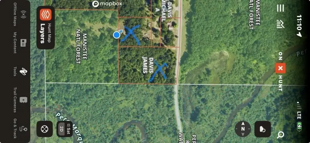
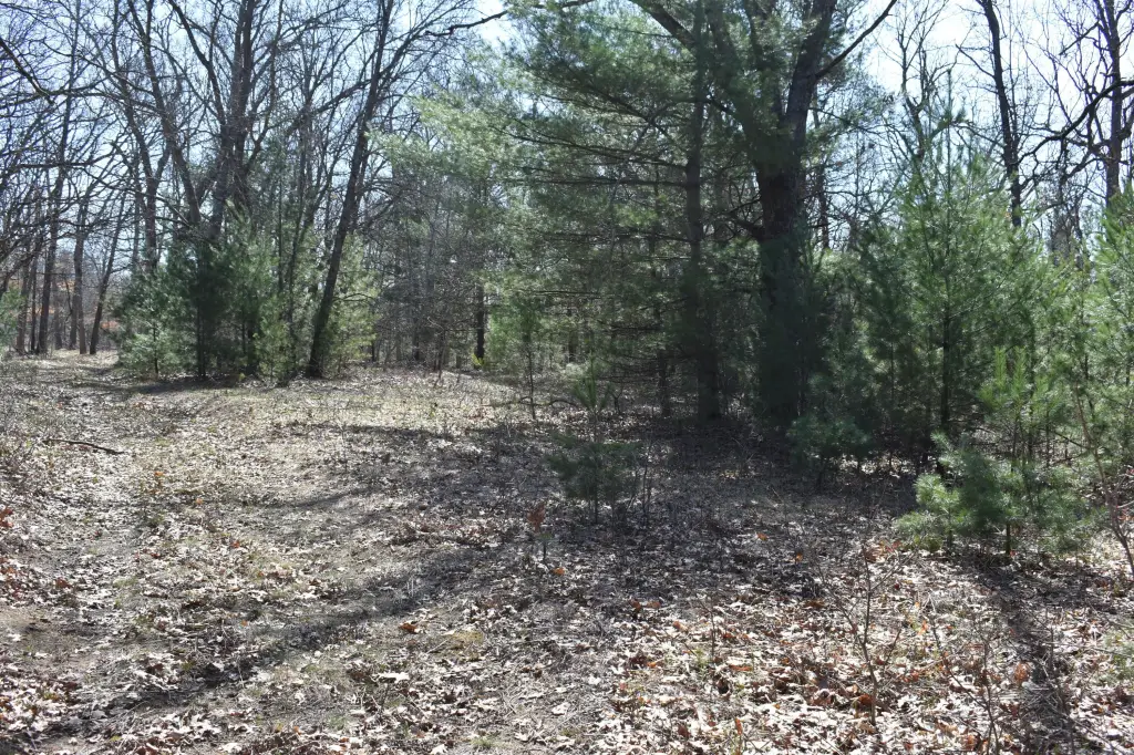
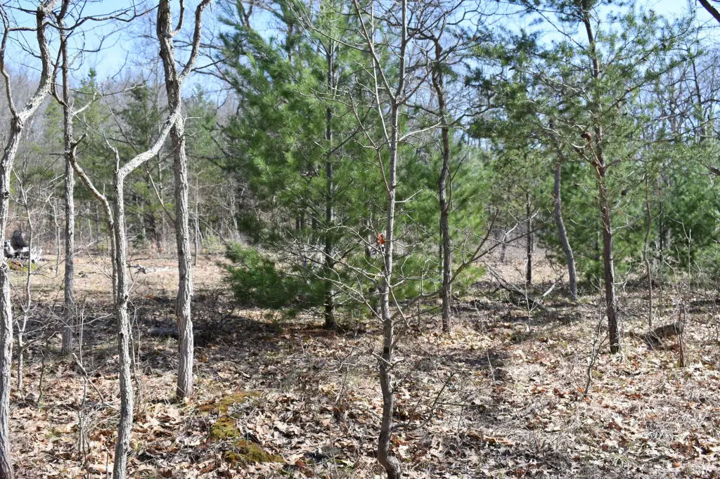
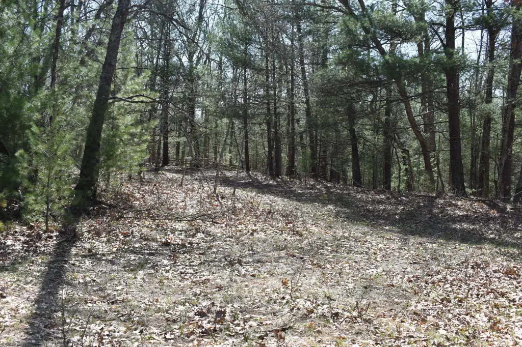
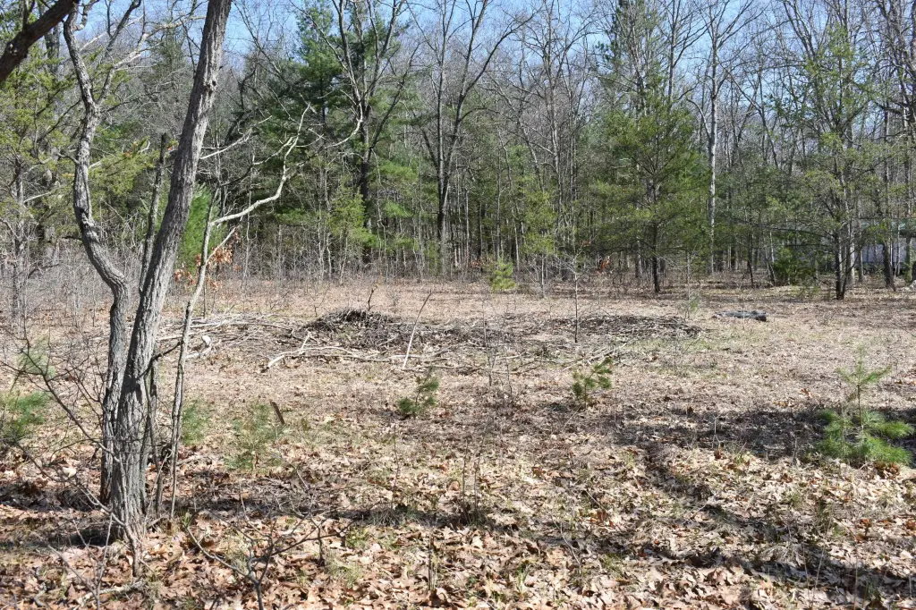
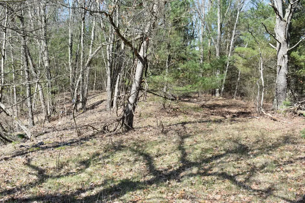
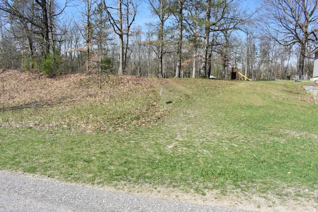
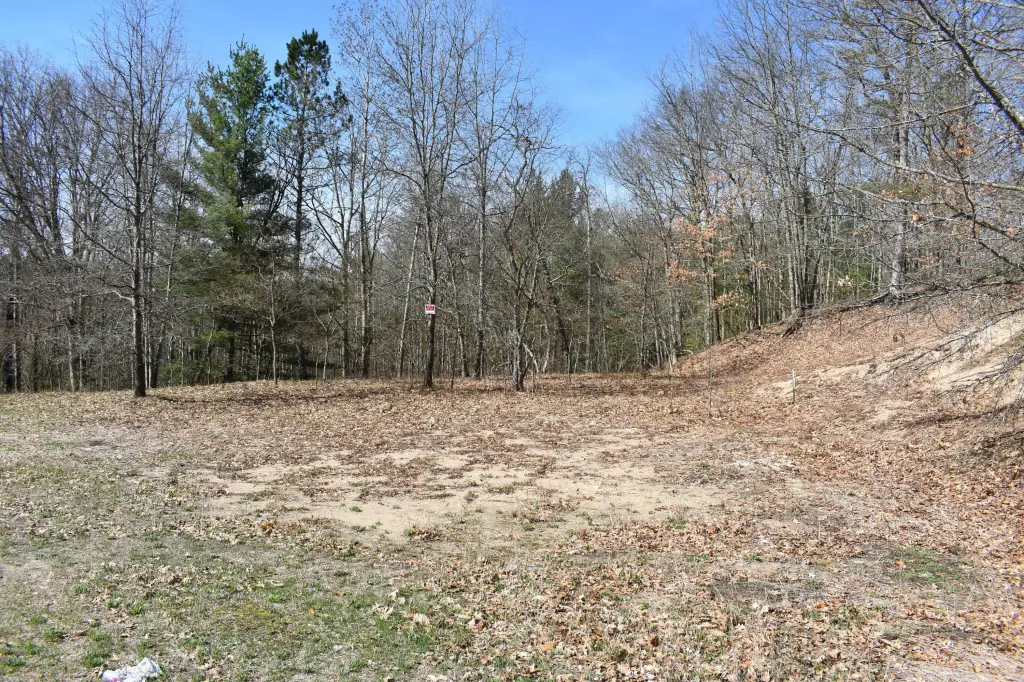
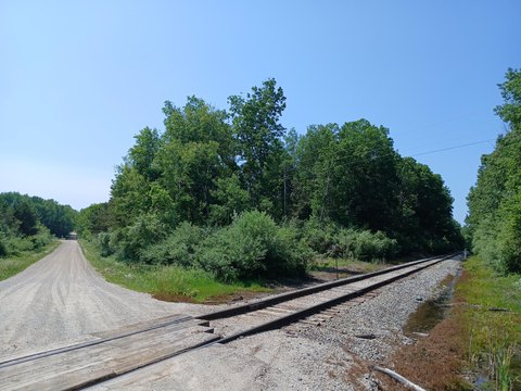
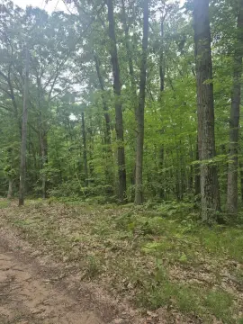
This 6.9-acre recreational land offering consists of two adjoining parcels with a predominantly wooded setting. The property is described as suitable for recreational use and buildable, with electricity available. An improvable easement provides access from S Walhalla Road, a county-maintained paved road. The larger parcel fronts the road, although grading would be needed to establish vehicle access across the hillside to both parcels.
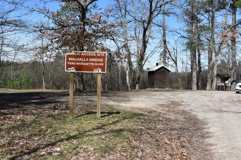
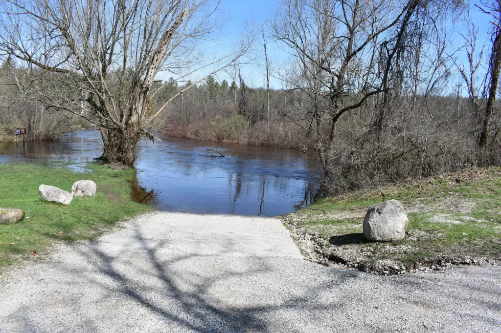
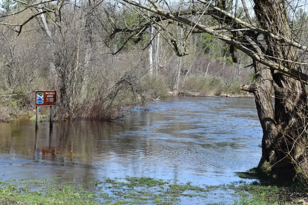
The Pere Marquette River is a short walk west along an old two-track grade. State-owned land lies between the property and the river, while Federal land borders the parcels to the east and west. Approximately 1,000 acres in the surrounding public-land setting are available for fishing, hunting, and hiking.
The Pere Marquette River is a short walk west along an old two-track grade. State-owned land lies between the property and the river, while Federal land borders the parcels to the east and west. Approximately 1,000 acres in the surrounding public-land setting are available for fishing, hunting, and hiking.
Key Highlights
- 6.9 acres across two connecting parcels
- Short walk to the Pere Marquette River via an old two‑track grade
- State Land lies south between the property and the river
Property Analytics
Unlock full access to Insights
Subscribe to Realmo Intelligence
Open Analytics
Current Use
Lease Details
Yes
Paved road access
Location Intelligence
Trade Area within ½ mile
4
Businesses Nearby
Explore this area
Business Placement
Demographics for 49410, MI
1,956
Population
1,362
Households
1.4
Avg Household Size
47
Median Age
16%
College-Educated
92%
High-School Grad
37.5 sq mi
ZIP Area
52
Density / Sq Mi
$60,274
Median Household Income
$33,256
Median Earnings
$892
Median Rent
$162,000
Median Home Value
Check the figures for this property
Cap Rate, Value Estimation, Potential NOI and more
View Realmo Analytics

Questions? Ask Rey
Realmo’s AI knows this listing — price, zoning, demand, history. Ask anything.




Frequently Asked Questions
What type of property is this?
Recreation land - Buildable recreational acreage with river access nearby and electricity available.
Where is this recreation land located?
The property is located at S Walhalla Road Fountain, MI.
What is the asking price?
The asking price for this property is $75,000.
What are key features of this property?
This property features: 6.9 acres across two connecting parcels; Short walk to the Pere Marquette River via an old two‑track grade; State Land lies south between the property and the river