Hunting and Recreation Land with Stream
For Sale
$110,000
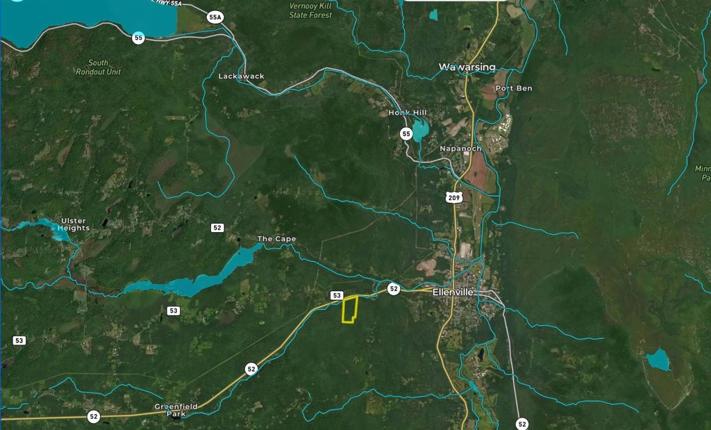
Route 52, Ellenville, NY 12428
LAND - Ellenville, NY
Property SizeContact for details
Lot Size50.00 Acres
Days on Market144
Property Features for Route 52
General Information
Property type
Land
Property subtype
Other
Subdivision
56005
View
Water
High school district
ELLENVILLE CENTRAL SCHOOL DISTRICT
Directions
Use 610 Rt. 52 Ellenville NY 12428 the property is just past this address on the left. Look for the For Sale Sign
Standard status
Active
APN
82.4-3-43
Lot size
50.00 Acres
Taxes and HOA fees
Tax Year
2025
Tax Annual Amount
2955
Utilities
Water front
1
Listing Agency:
WHITETAIL PROPERTIES REAL ESTATE LLC (NY)
(217) 285-9000
Listed By:
Clint Carlson
Added: Mar 30
Changed: Jul 30
Last Checked: Aug 20 at 2:06AM
MLS# 11682755
Copyright © 2026 My State MLS. All rights reserved. All information provided by the listing agent/broker is deemed reliable but is not guaranteed and should be independently verified.
Investment Insights
Based on property information with market context.
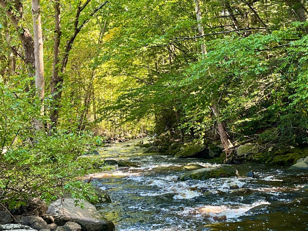
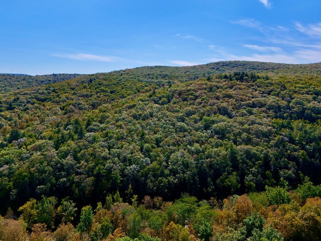
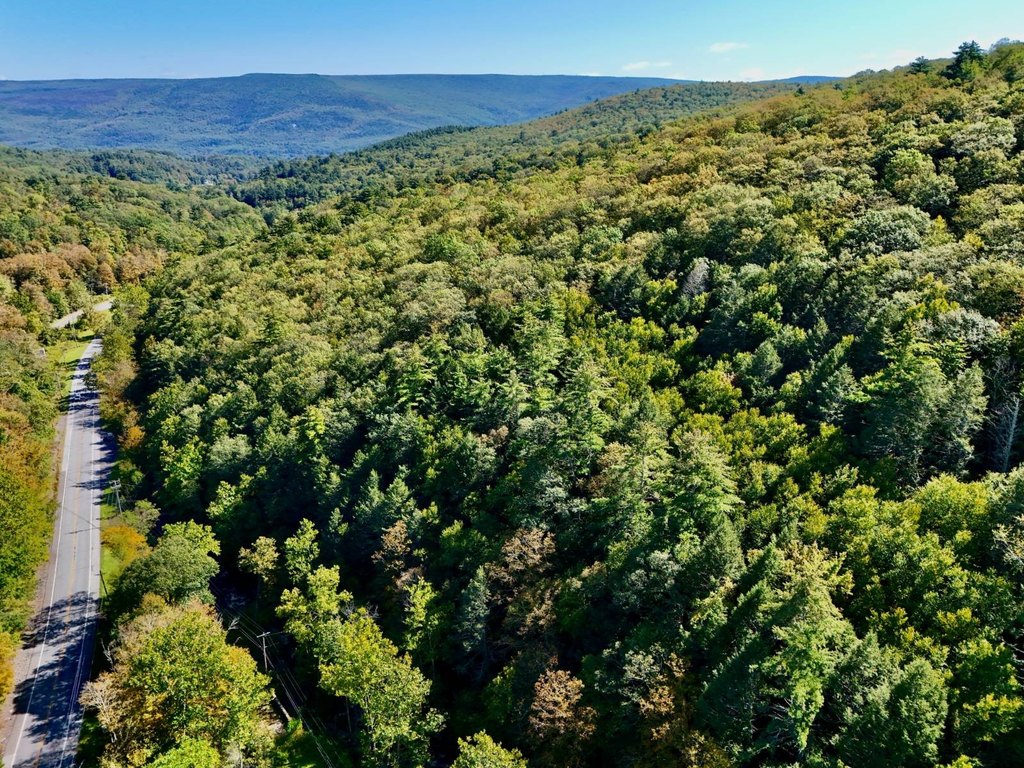
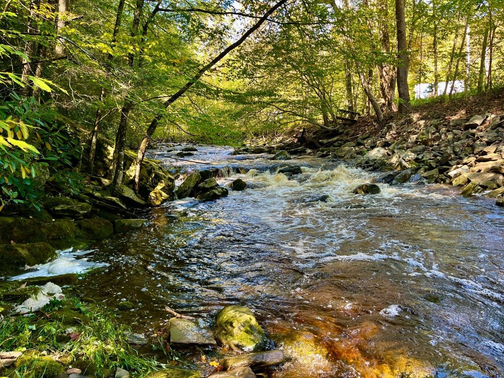
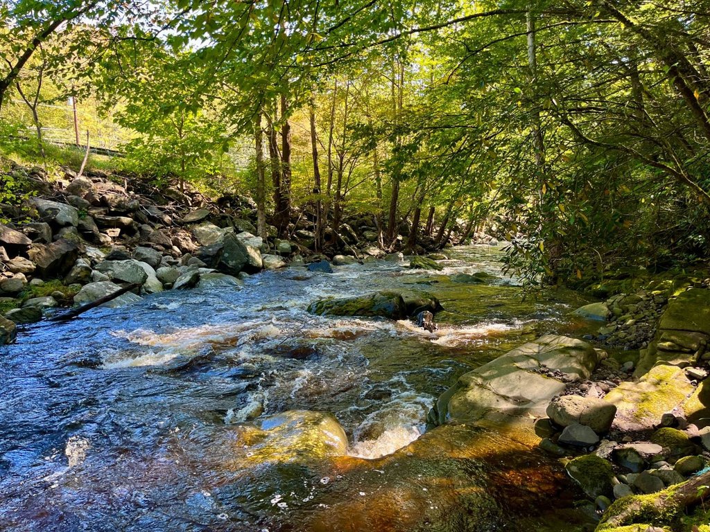
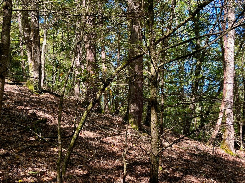
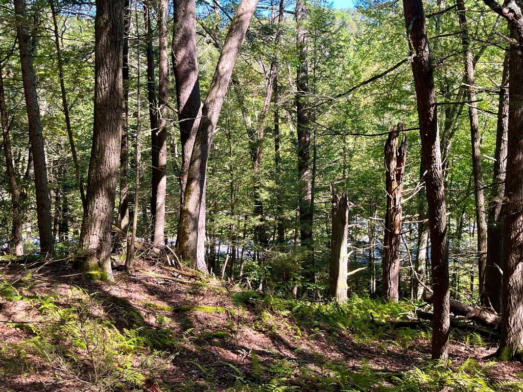
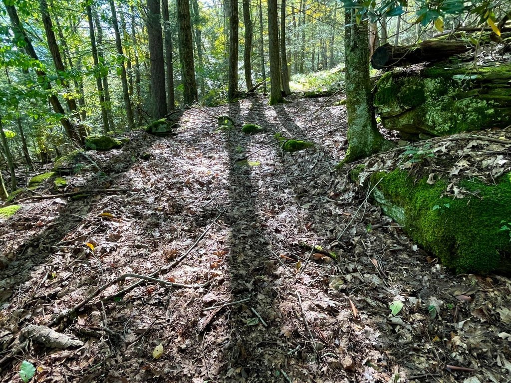
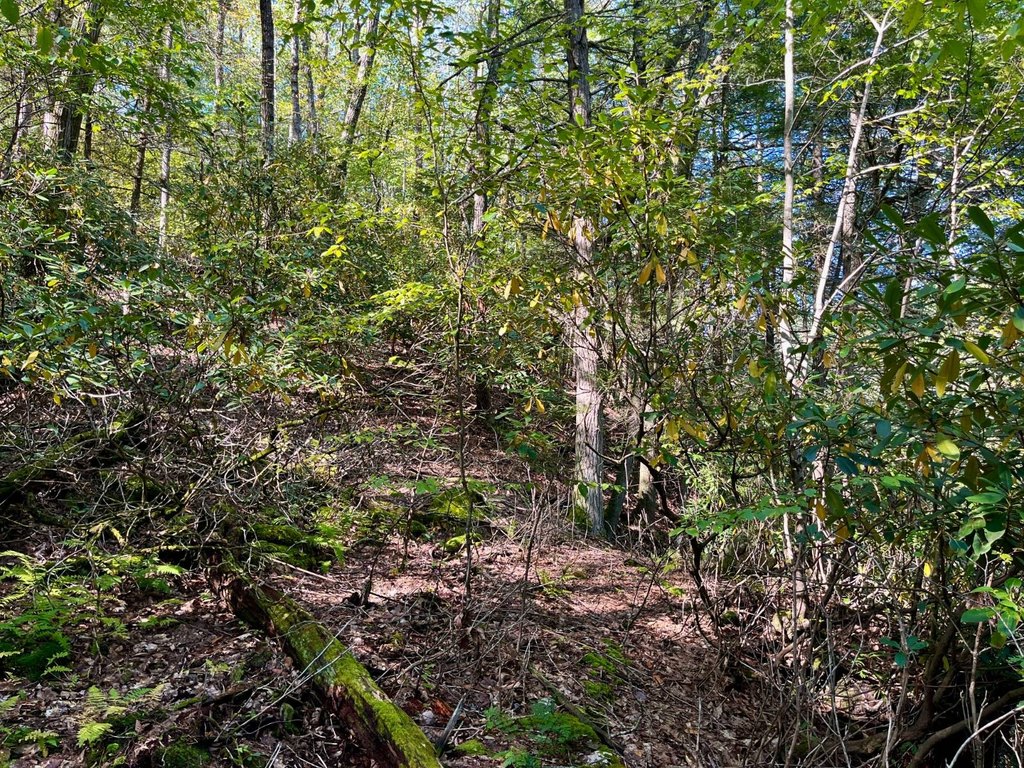
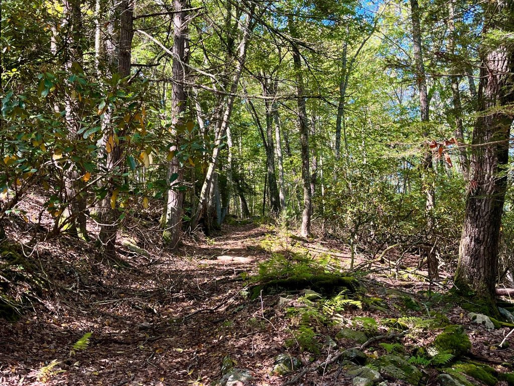
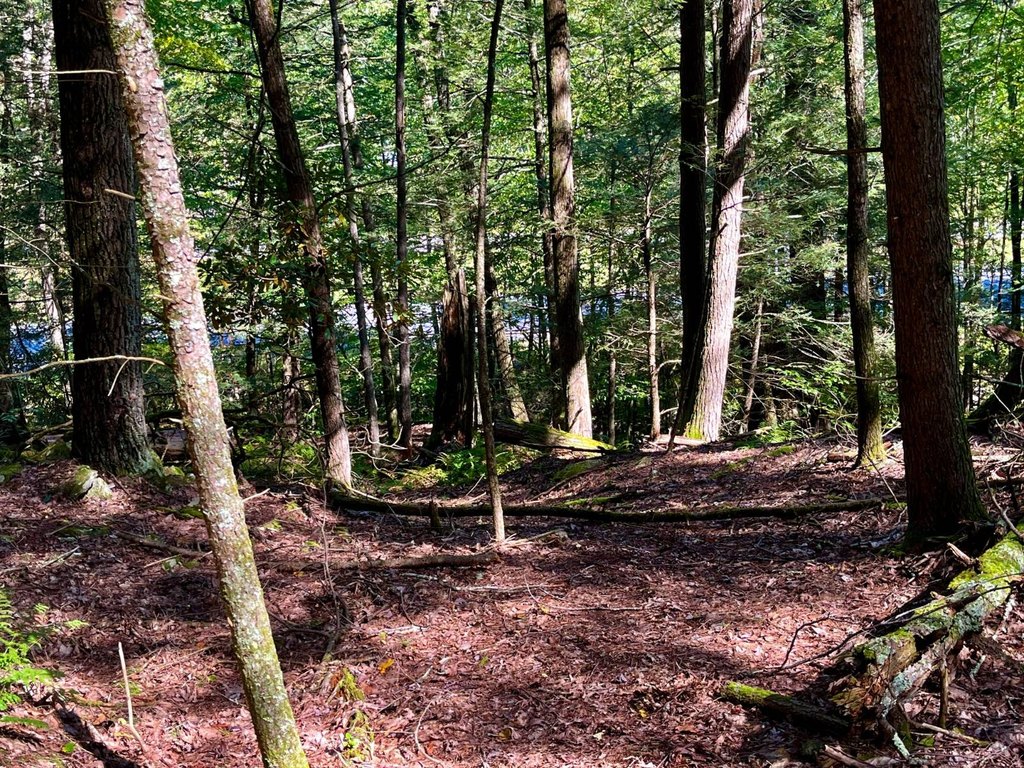
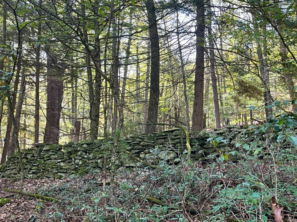
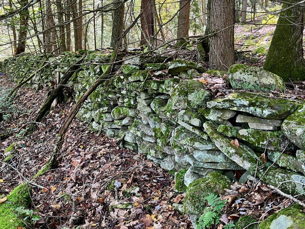
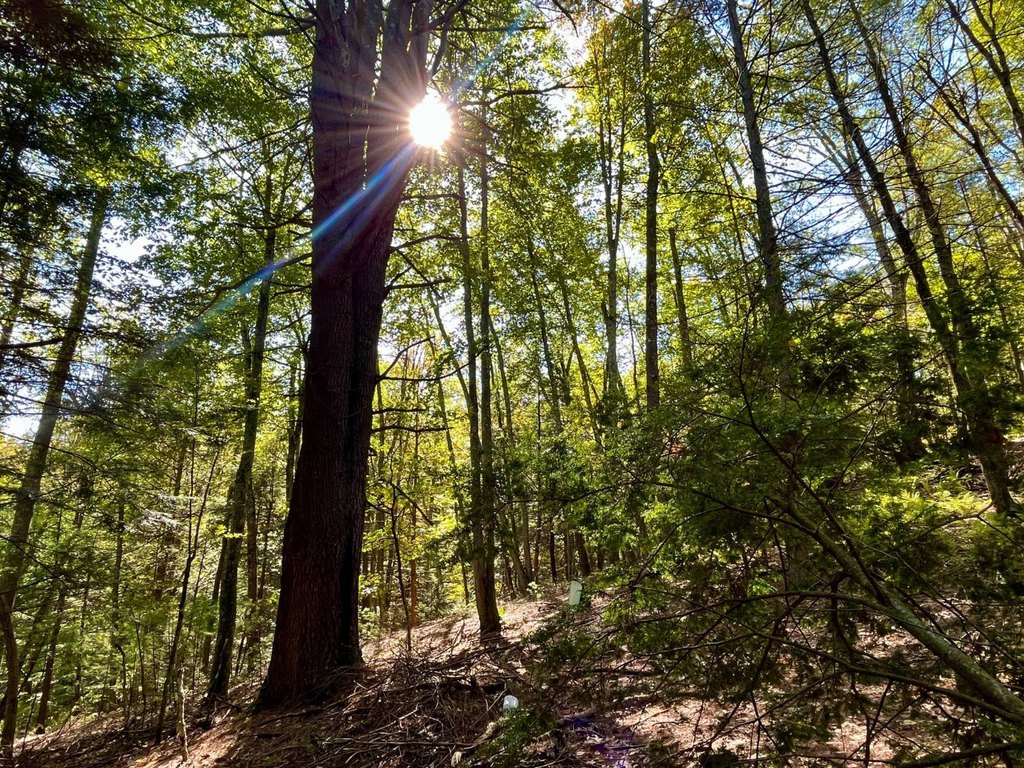
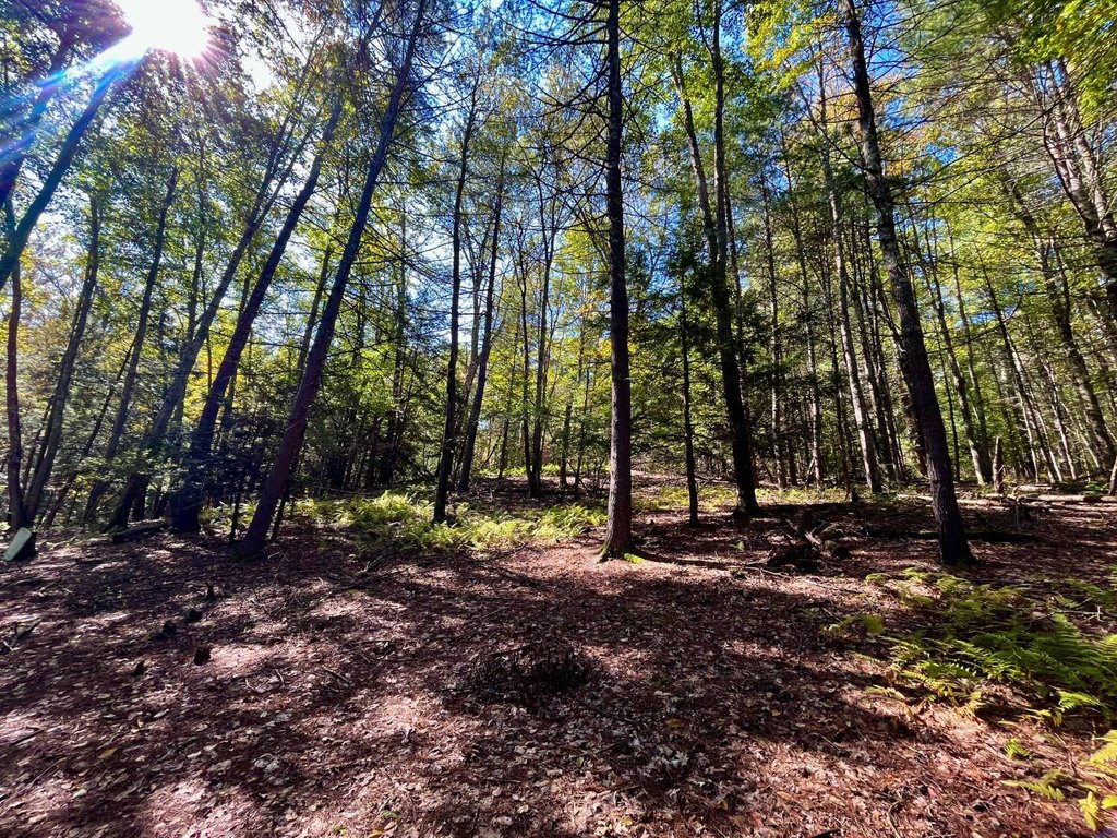
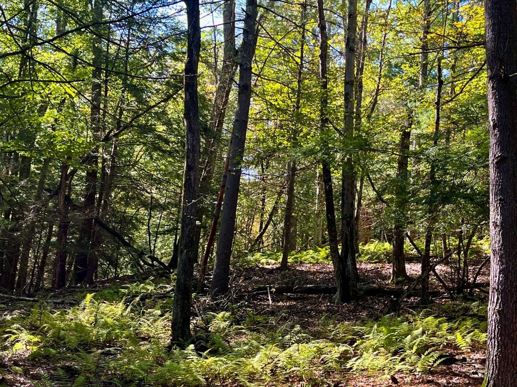
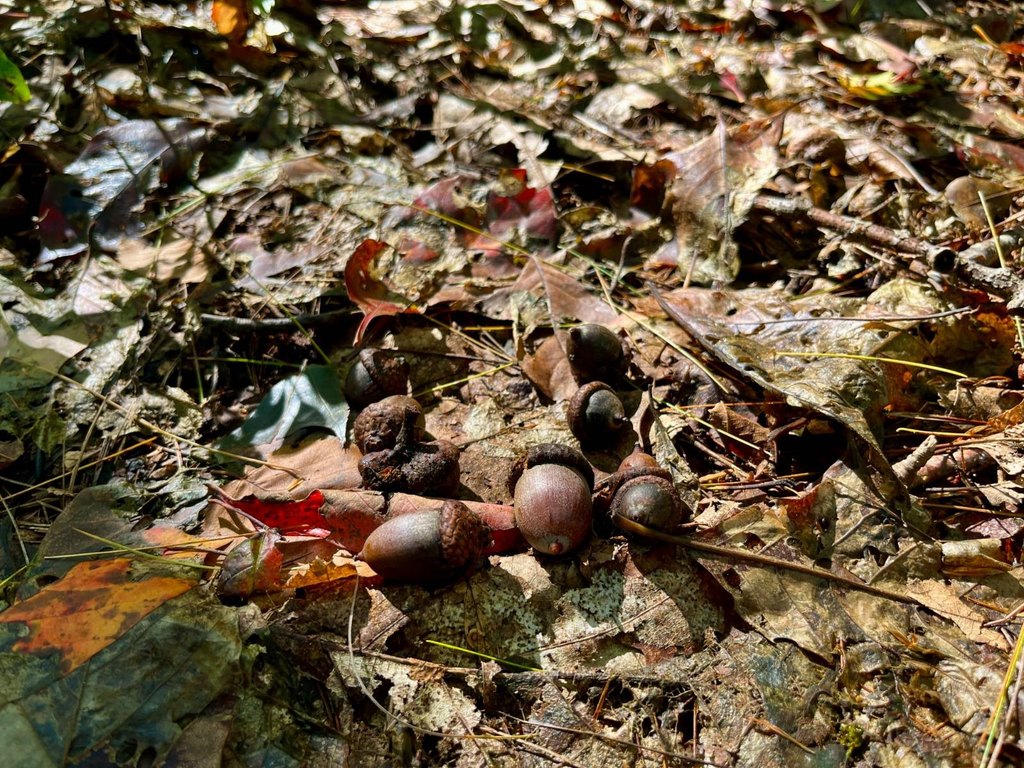
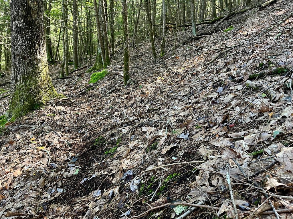
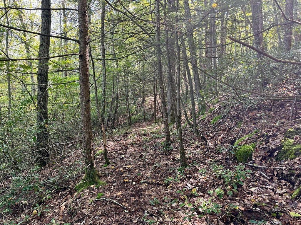
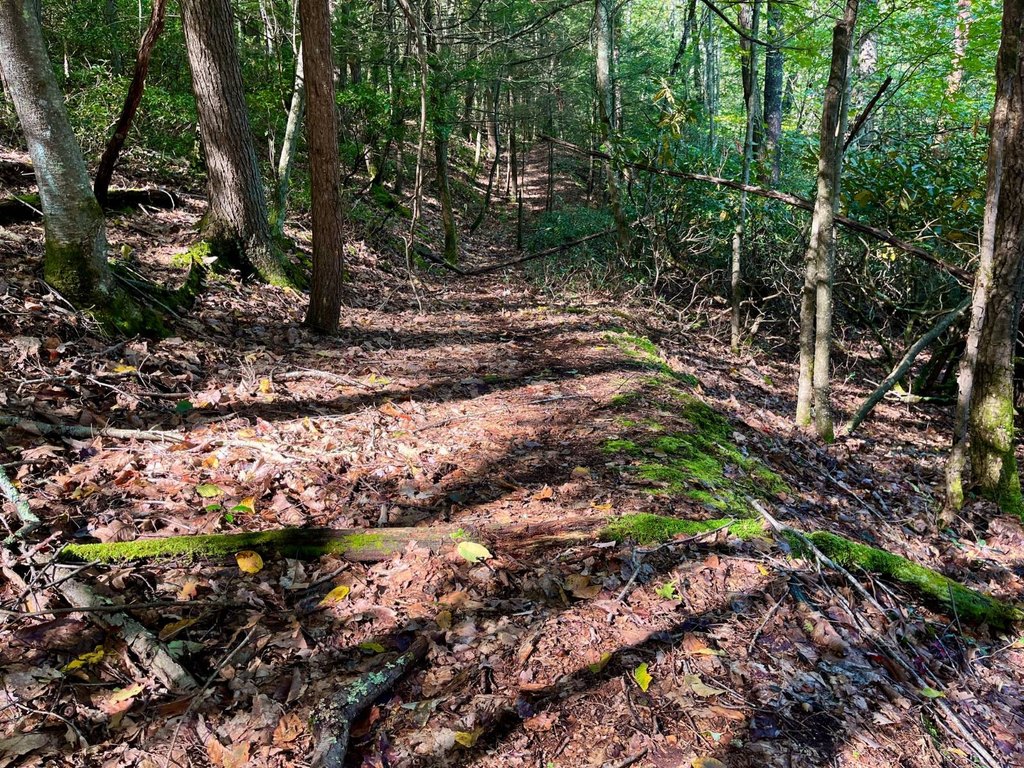
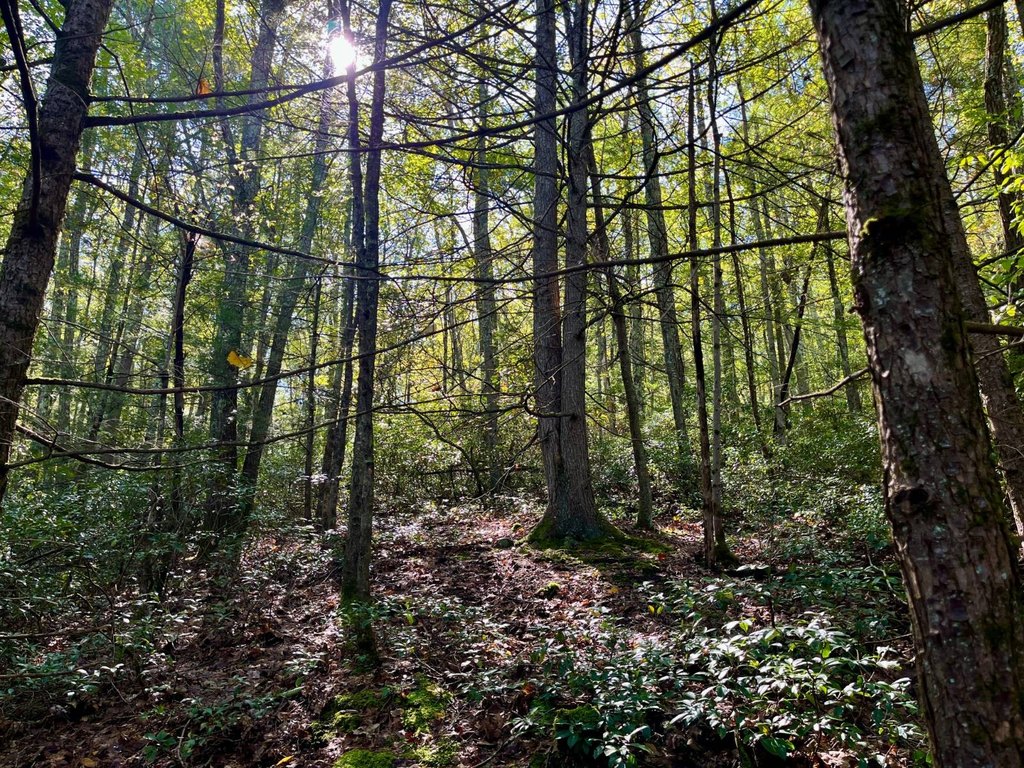
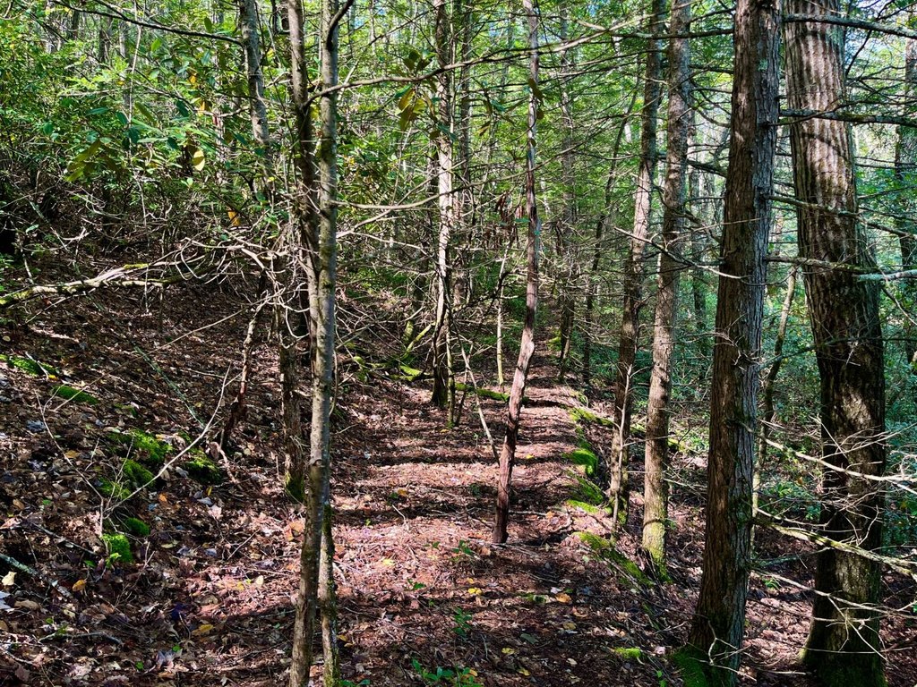
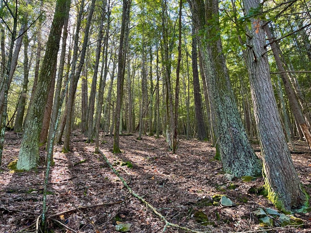
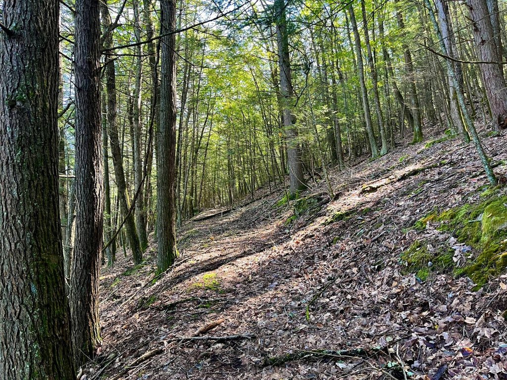
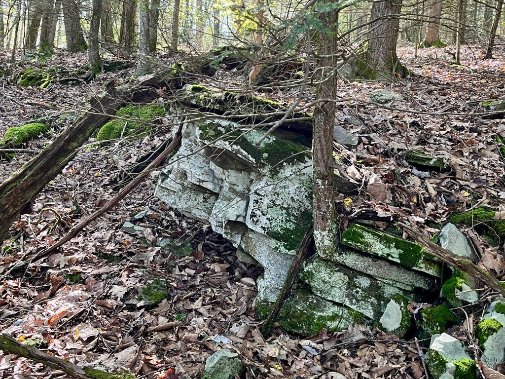
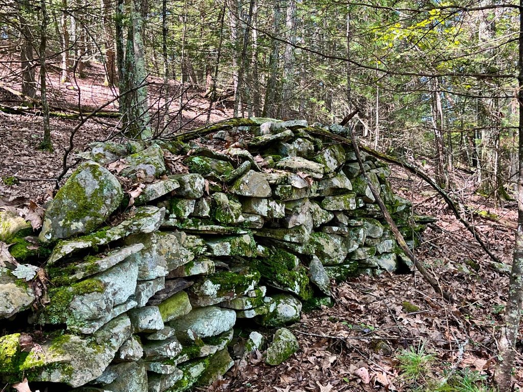
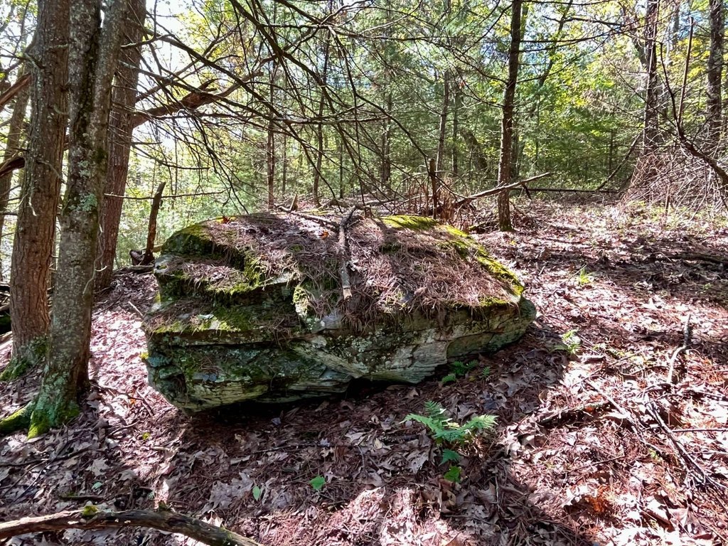
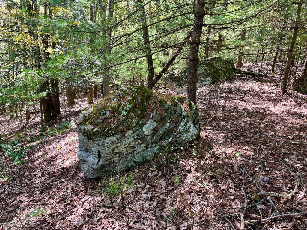
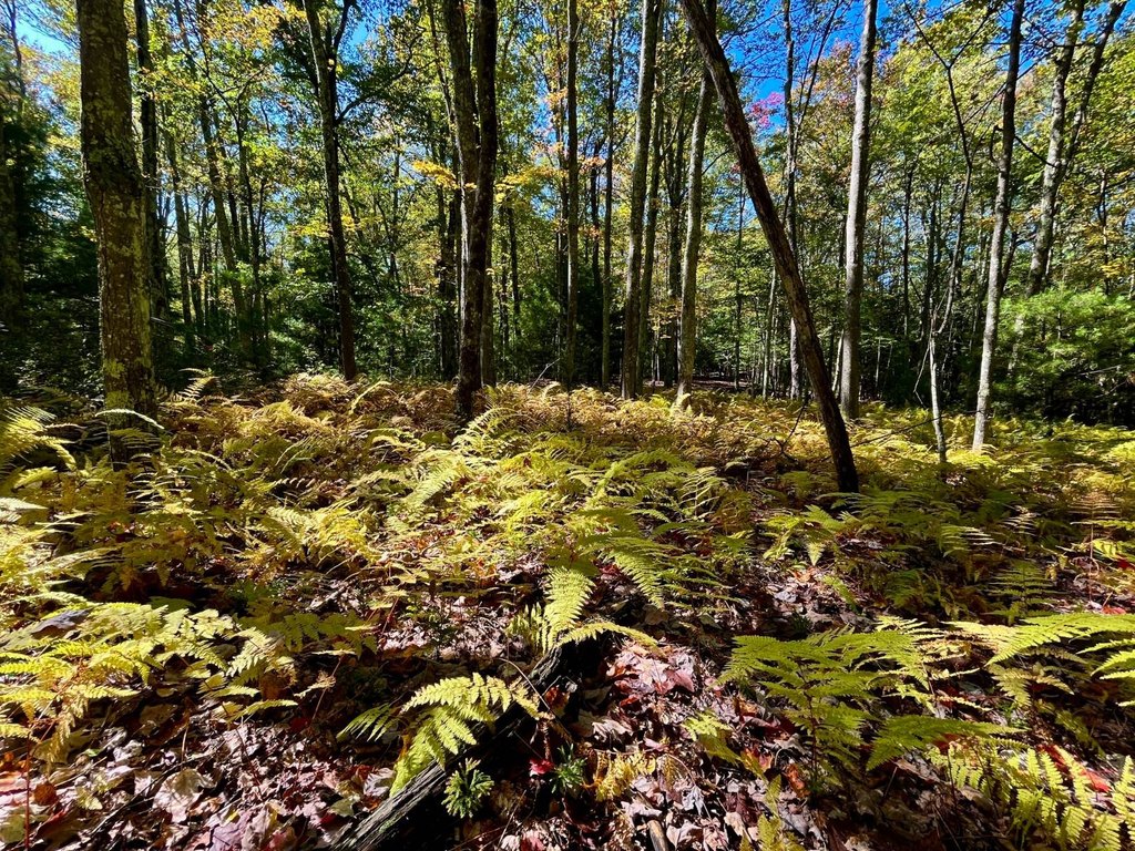
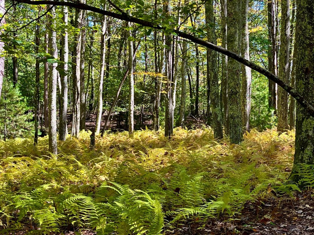
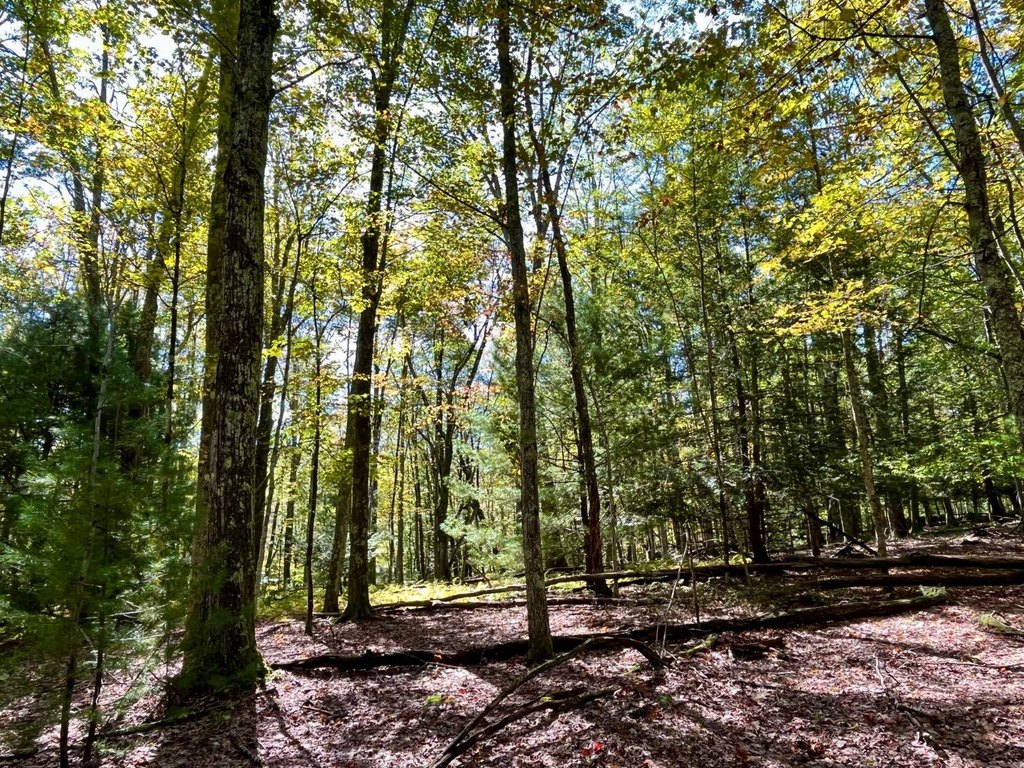
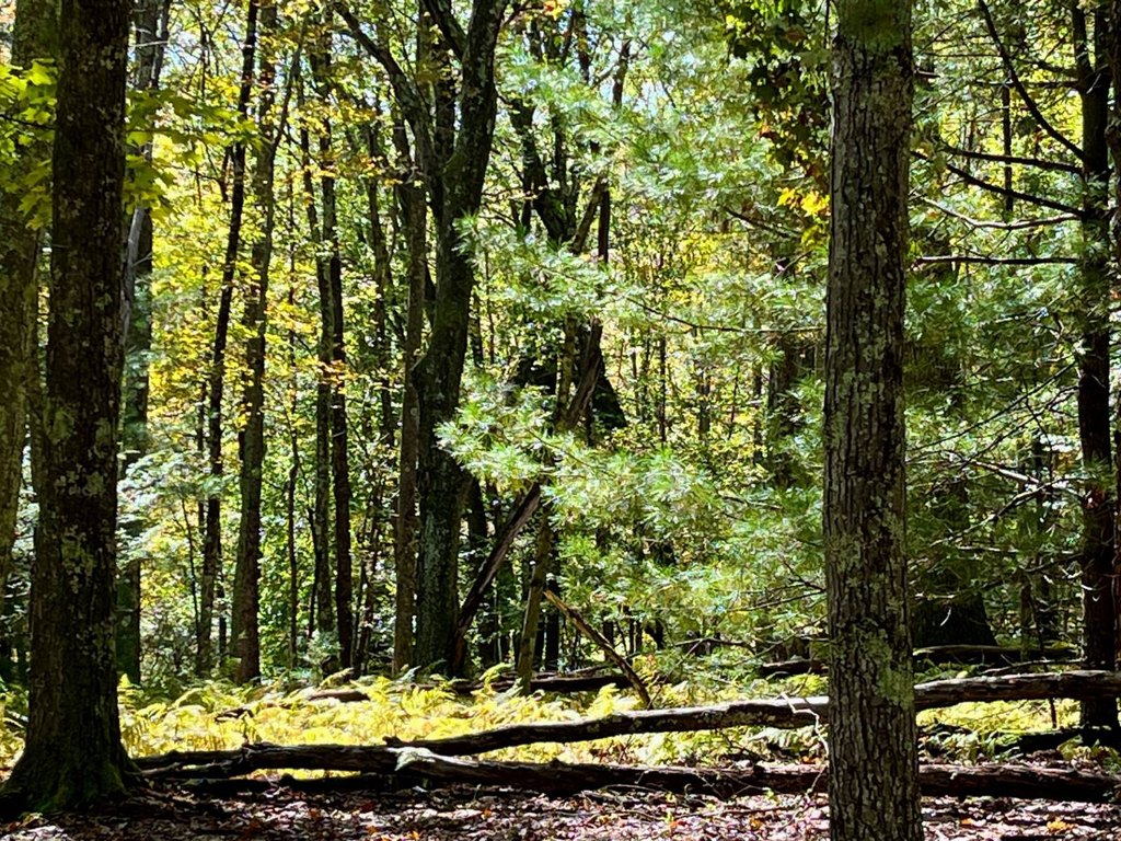
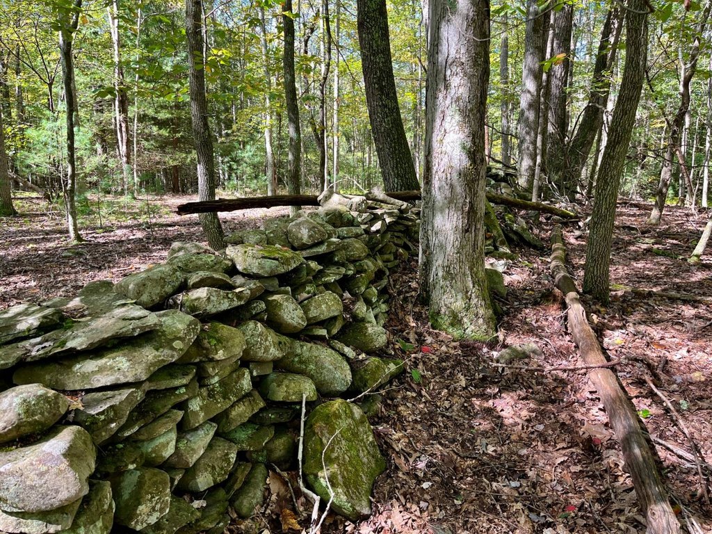
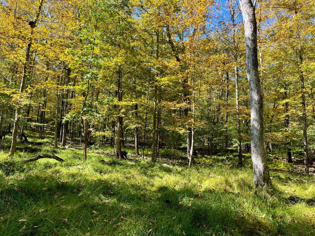
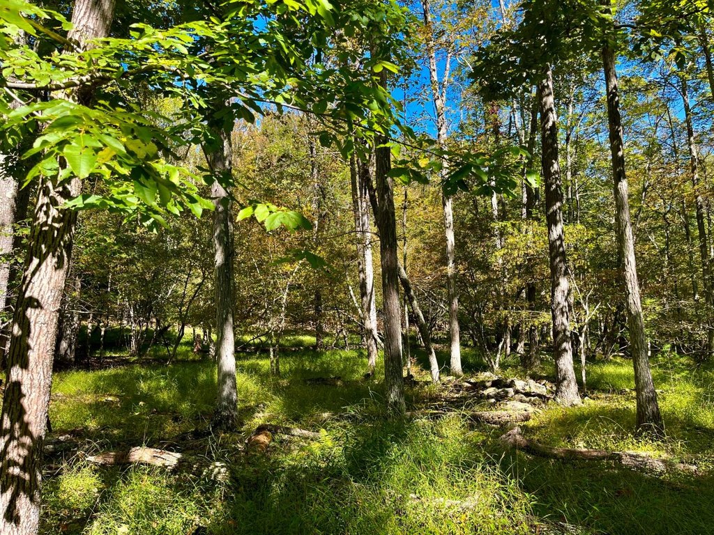
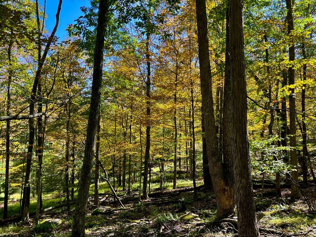
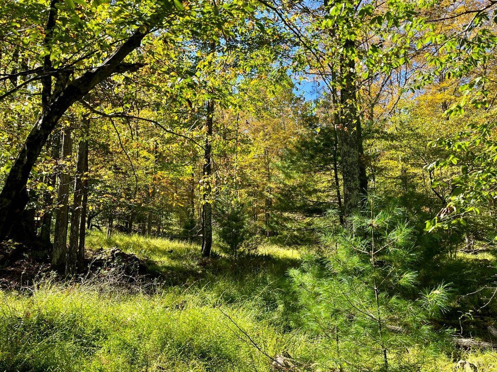
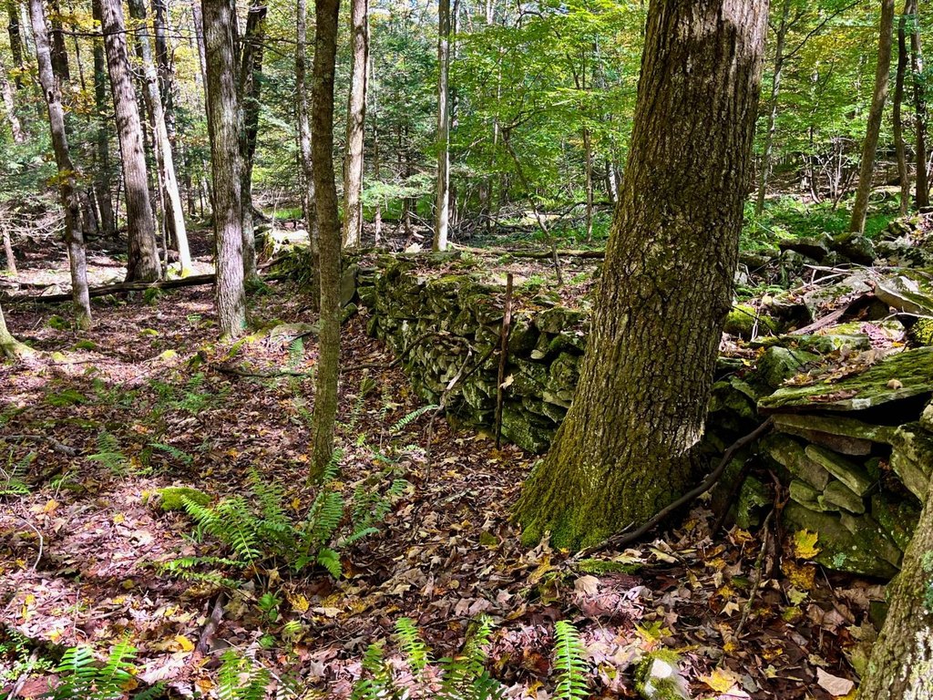
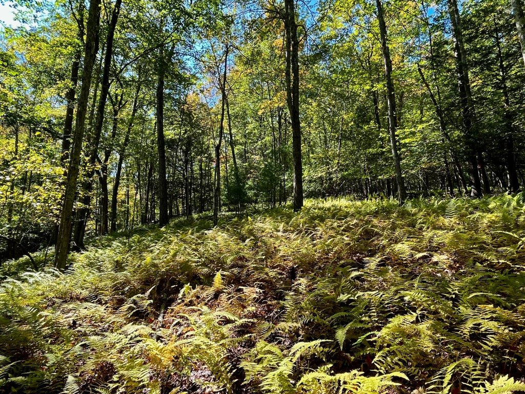
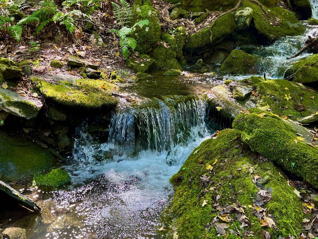
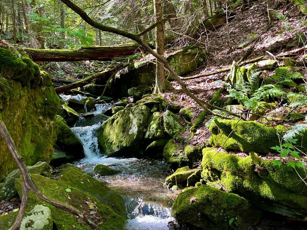
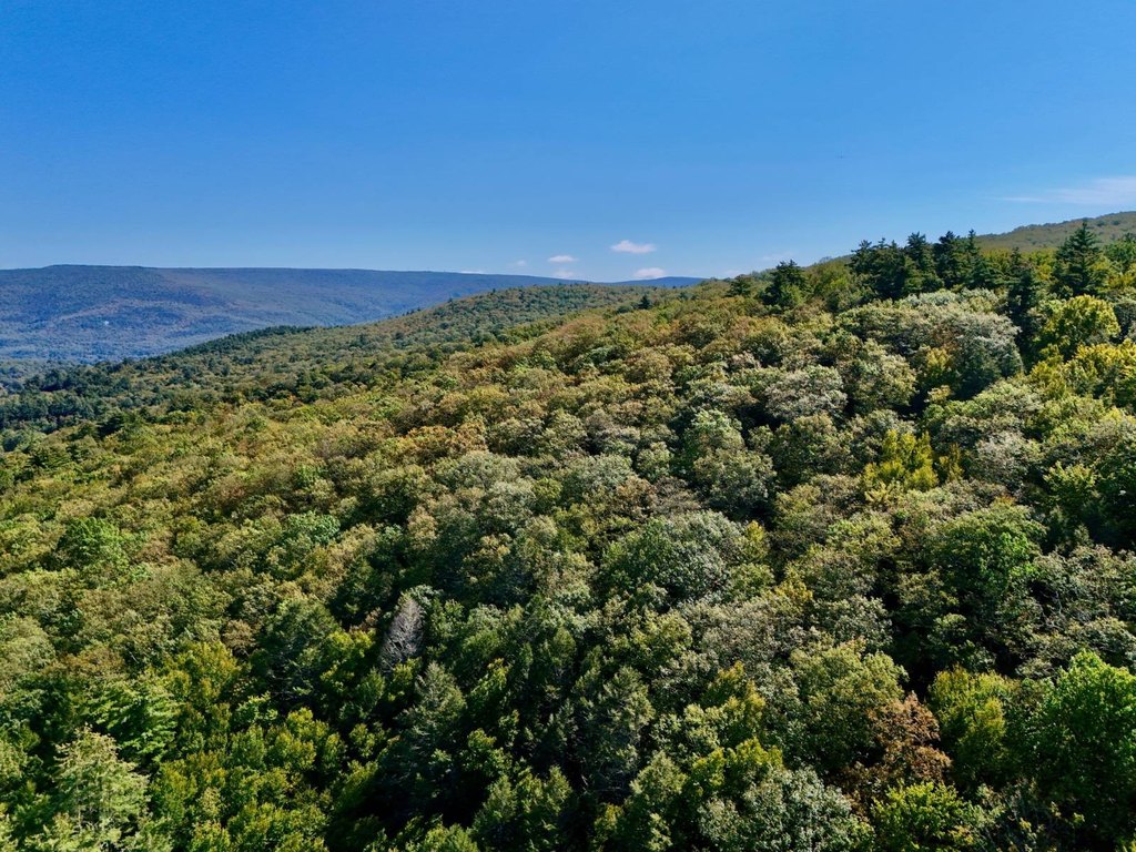
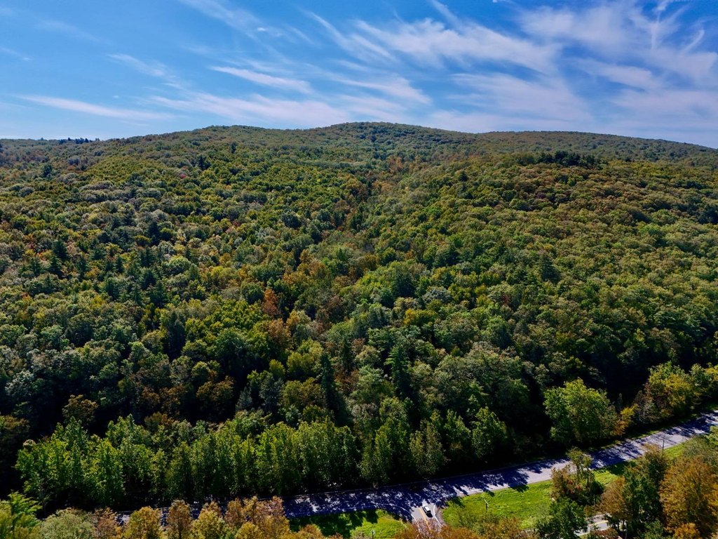
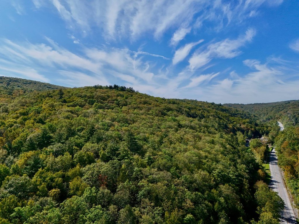
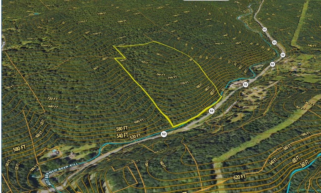
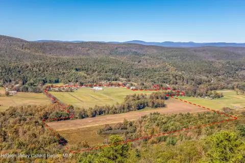
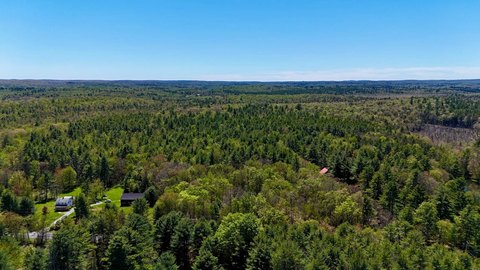
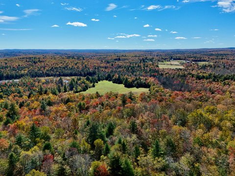
Hunting and recreation land featuring a diverse, blended forest with oak, maple, birch, hemlock, white pine, and pockets of rhododendron. Older east-to-west trails provide travel paths through the property, and deer sign is present throughout. Natural features include rock walls, moss-covered boulders, and unique rock outcroppings. Along the eastern side, a smaller stream flows into the Beer Kill.
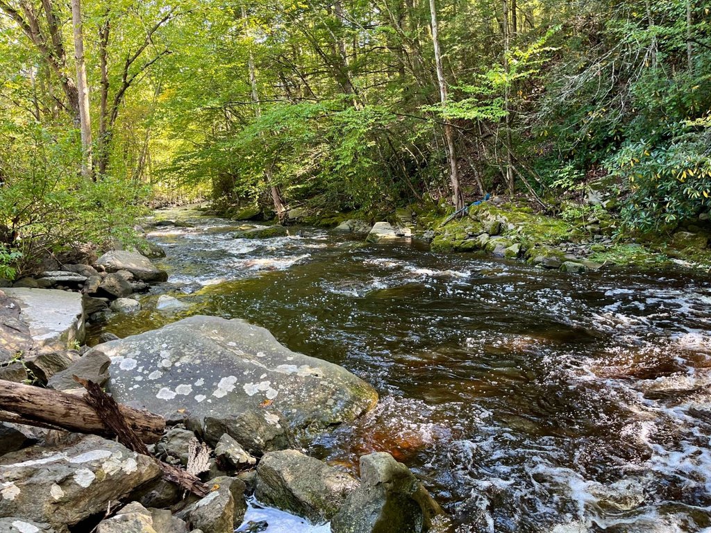
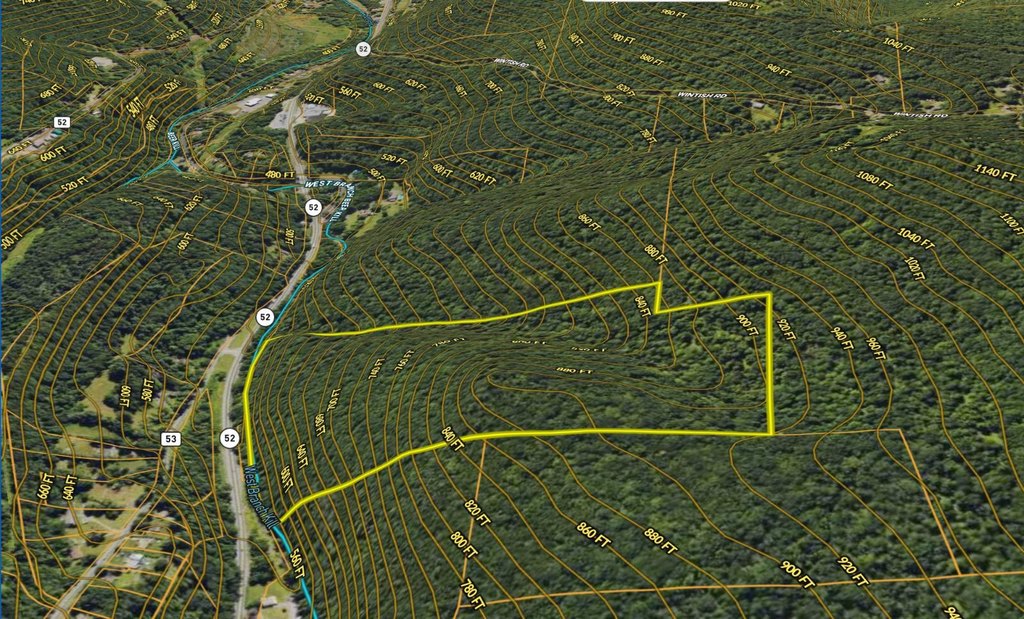
The parcel is located on Route 52, just minutes from Route 209 and the town of Ellenville. It is separated from the road by the West Branch of the Beer Kill, and the property is only accessible by foot. To reach the land, you must walk through the water, requiring a minimum of knee-high boots. If the site is used for any building project, a bridge will be required, and any bridge would require permitting through the NYS DEC.
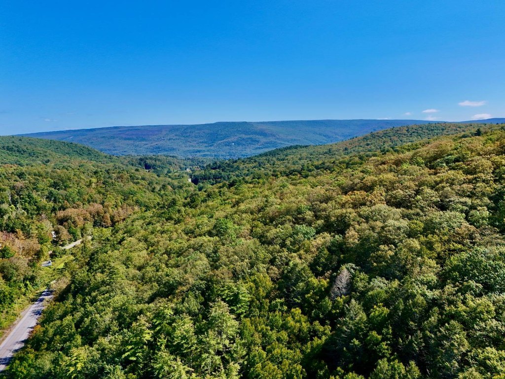
The elevation changes quickly with a total elevation change of +/- 380'. Acreage is not exact: the deed references 52 acres, while public records show 48.4 acres; a survey would be needed to determine exact acreage.
Seller requires proof of funds for showings. All showings must be scheduled with and attended by the listing agent, and all entrants must sign a hold-harmless agreement.
The parcel is located on Route 52, just minutes from Route 209 and the town of Ellenville. It is separated from the road by the West Branch of the Beer Kill, and the property is only accessible by foot. To reach the land, you must walk through the water, requiring a minimum of knee-high boots. If the site is used for any building project, a bridge will be required, and any bridge would require permitting through the NYS DEC.
The elevation changes quickly with a total elevation change of +/- 380'. Acreage is not exact: the deed references 52 acres, while public records show 48.4 acres; a survey would be needed to determine exact acreage.
Seller requires proof of funds for showings. All showings must be scheduled with and attended by the listing agent, and all entrants must sign a hold-harmless agreement.
Key Highlights
- Only foot access via the West Branch of the Beer Kill, requiring a minimum of knee‑high boots
- A bridge would be required for any building project, with NYS DEC permitting
- Elevation change of +/- 380' across the parcel
Property Analytics
Property Profile
Current Use
Location Intelligence
Trade Area within ½ mile
8
Businesses Nearby
Explore this area
Business Placement
Demographics for 12428, NY
6,969
Population
3,762
Households
1.9
Avg Household Size
40
Median Age
26%
College-Educated
87%
High-School Grad
55.1 sq mi
ZIP Area
126
Density / Sq Mi
$78,802
Median Household Income
$45,868
Median Earnings
$1,073
Median Rent
$200,800
Median Home Value

Questions? Ask Rey
Realmo’s AI knows this listing — price, zoning, demand, history. Ask anything.




Frequently Asked Questions
What type of property is this?
Hunting land - Hunting and recreation parcel with wooded terrain and stream features, with access only on foot and water-crossing required.
Where is this hunting land located?
The property is located at Route 52 Ellenville, NY.
What is the asking price?
The asking price for this property is $110,000.
What are key features of this property?
This property features: Only foot access via the West Branch of the Beer Kill, requiring a minimum of knee‑high boots; A bridge would be required for any building project, with NYS DEC permitting; Elevation change of +/- 380' across the parcel


