Timberland with Year-Round

For Sale
$349,999
NHN Peach Park Loop, Rollins, MT 59931
Land, Rollins, MT
Property SizeContact for details
Lot Size20.00 Acres
Days on Market97
Property Features for NHN Peach Park Loop
General Information
Property type
Land
Property subtype
Other
Lot features
Secluded, Wooded
Directions
Please contact the listing agent for showings and directions.
Standard status
Active
APN
15358213301050000
Lot size
20.00 Acres
Taxes and HOA fees
Tax Year
2025
Tax Description
S13, T25 N, R21 W, ACRES 10, E2W2SE4SW4 and S13, T25 N, R21 W, ACRES 10, W2W2SE4SW4
Tax Annual Amount
45
Legal Description
S13, T25 N, R21 W, ACRES 10, E2W2SE4SW4 and S13, T25 N, R21 W, ACRES 10, W2W2SE4SW4
Utilities
Water front features
Waterfront, Stream
Water front
1
Listing Agency:
PureWest Real Estate - Kalispell
(406) 751-5600
Listed By:
Justin Peel · License #RRE-RBS-LIC-131787
(406) 550-6043
Added: Jul 7
Changed: Oct 9
Last Checked: Oct 11 at 3:06PM
MLS# 30074397
Copyright © 2026 Montana Regional MLS. All rights reserved. All information provided by the listing agent/broker is deemed reliable but is not guaranteed and should be independently verified.
Investment Insights
Based on property information with market context.
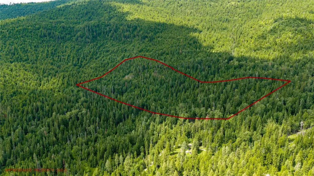
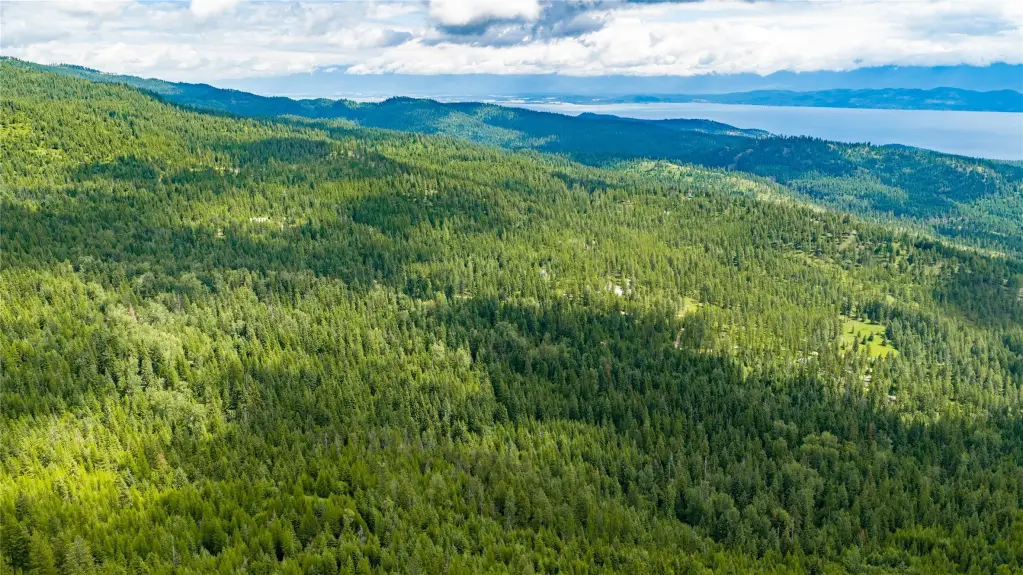
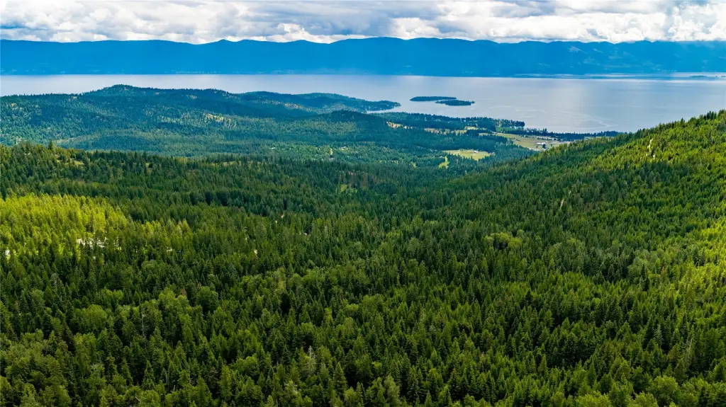
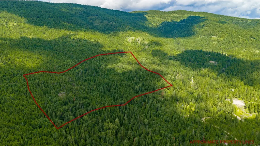
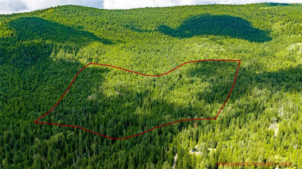
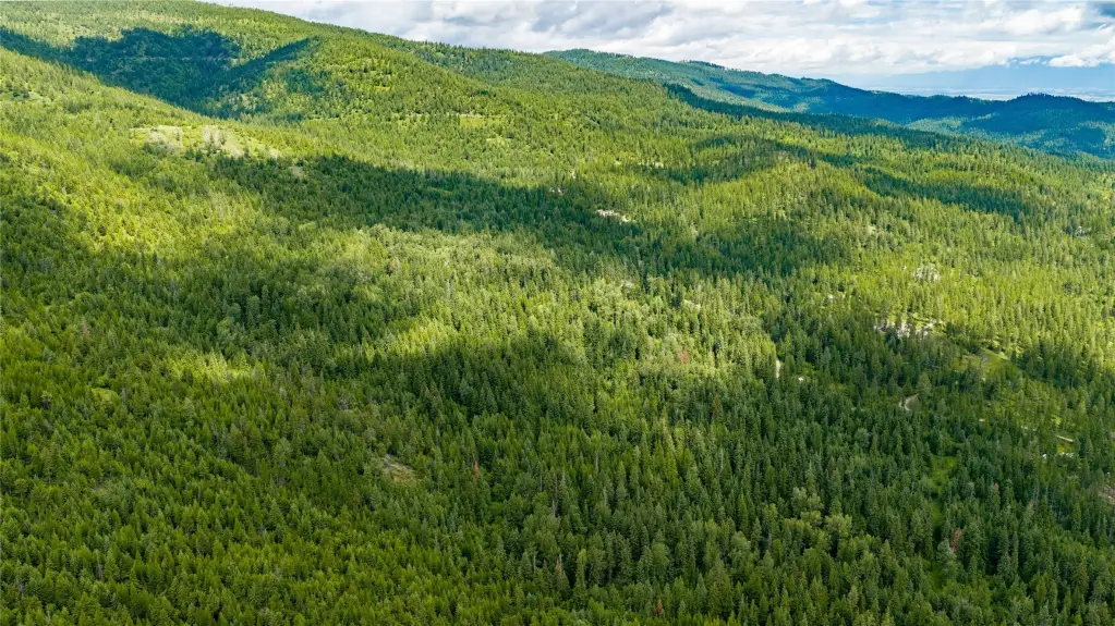
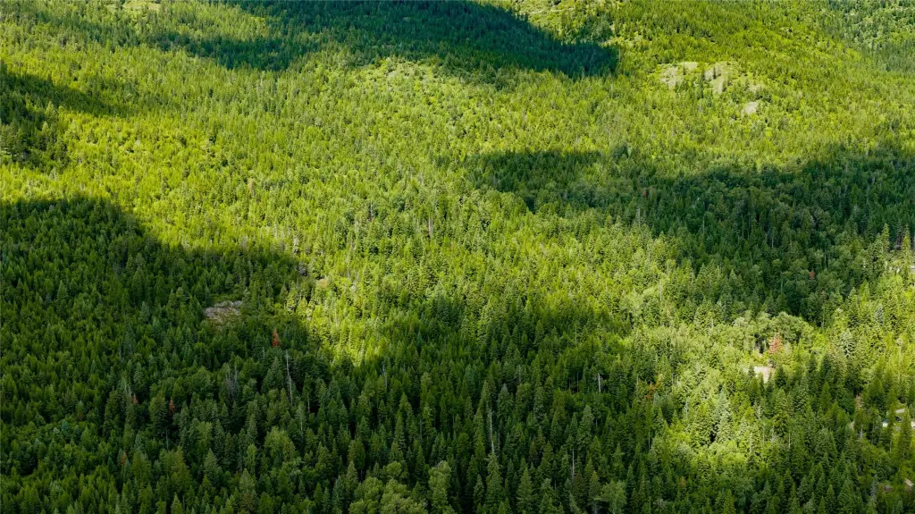
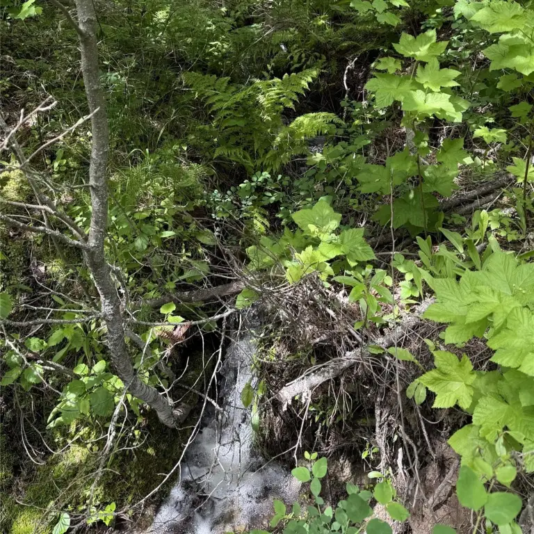
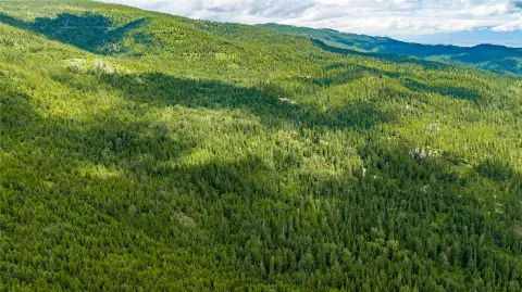
Nearly 20 acres of mature timberland in the Flathead Lake west-shore corridor offering natural “live water” features. Two streams cross the property, including one that flows year-round and one seasonal, creating a habitat-rich setting and helping define natural building areas.
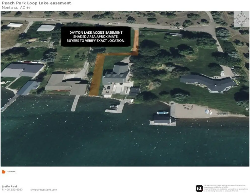
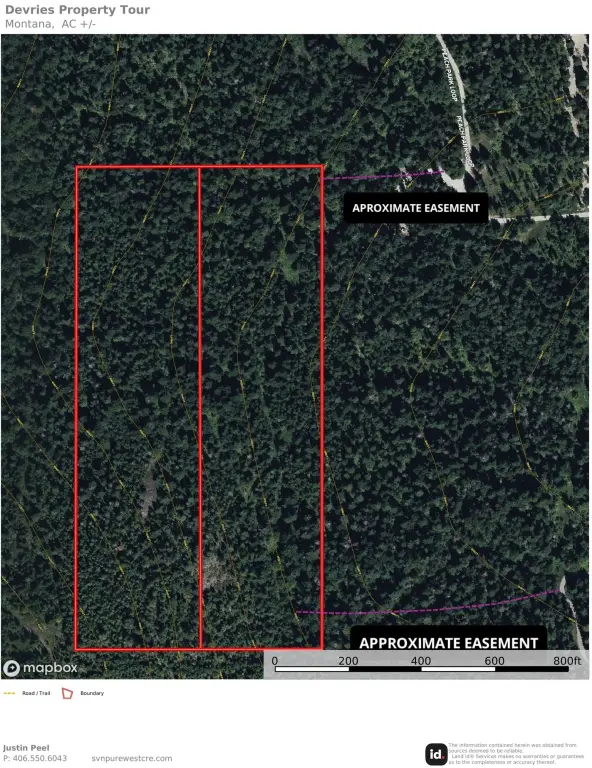
The property is served by a recorded access easement from Peach Park Loop. A recorded utility easement runs to the property line, with buried power in place one parcel away, providing a straightforward path for utility extension. The land is positioned just west of Highway 93, balancing seclusion with regional connectivity.
Lake Mary Ronan and its state park are 16 miles away, Kalispell is 26 miles north, Polson is 30 miles south, and Glacier International Airport is 35 miles away.
The property is served by a recorded access easement from Peach Park Loop. A recorded utility easement runs to the property line, with buried power in place one parcel away, providing a straightforward path for utility extension. The land is positioned just west of Highway 93, balancing seclusion with regional connectivity.
Lake Mary Ronan and its state park are 16 miles away, Kalispell is 26 miles north, Polson is 30 miles south, and Glacier International Airport is 35 miles away.
Key Highlights
- 19.997‑acre mature timberland with two streams crossing the property
- One stream flows year‑round; one stream is seasonal
- Recorded access easement from Peach Park Loop
Property Analytics
Unlock full access to Insights
Subscribe to Realmo Intelligence
Open Analytics
Current Use
Lease Details
Yes
Highway access
Yes
Paved road access
Yes
Utilities to site
Yes
Water rights
Location Intelligence
Demographics for 59931, MT
297
Population
319
Households
0.9
Avg Household Size
60
Median Age
49%
College-Educated
96%
High-School Grad
28.3 sq mi
ZIP Area
10
Density / Sq Mi
$172,750
Median Household Income
$27,448
Median Earnings
$1,015,600
Median Home Value
Check the figures for this property
Cap Rate, Value Estimation, Potential NOI and more
View Realmo Analytics

Questions? Ask Rey
Realmo’s AI knows this listing — price, zoning, demand, history. Ask anything.

Frequently Asked Questions
What type of property is this?
Land - Nearly 20 acres of mature timberland with two streams and recorded access easement from Peach Park Loop.
Where is this land located?
The property is located at NHN Peach Park Loop Rollins, MT.
What is the asking price?
The asking price for this property is $349,999.
What are key features of this property?
This property features: 19.997‑acre mature timberland with two streams crossing the property; One stream flows year‑round; one stream is seasonal; Recorded access easement from Peach Park Loop


