Waterfront Hunting Lodge
Priddy Rd Rolling Fork, MS 39159

Priddy Rd, Rolling Fork, MS, 39159
$2,111,200
For Sale
$2,111,200
LAND - Rolling Fork, MS
Lot Size464.00 Acres
Days on Market367
Property Features for Priddy Rd
General Information
- Property type
- Land
- Property subtype
- Other
- Standard status
- Active
- APN
- 024-018-001.03
- Lot size
- 464.00 Acres
Taxes and HOA fees
- Tax Year
- 2024
- Tax Description
- 464 AC +/- in T10N R7W Sec 17 and T10N R7W Sec 1
- Tax Annual Amount
- 1426
Utilities
- Utilities
- Propane
- Sewer type
- Septic Tank
Listing agency
Tom Smith Land & Homes
(601) 898-2772
Listed by
Tom N Smith · License #B19359
(601) 454-9397
Added: Jul 21, 2025 Updated: Jul 10 at 8:44AM Checked: Jul 22 at 8:06AM
MLS# 4120015
Copyright © 2026 MLS United. All rights reserved. All information provided by the listing agent/broker is deemed reliable but is not guaranteed and should be independently verified.
Investment Insights
Based on property information with market context.
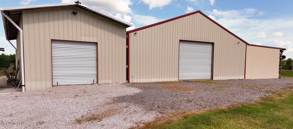
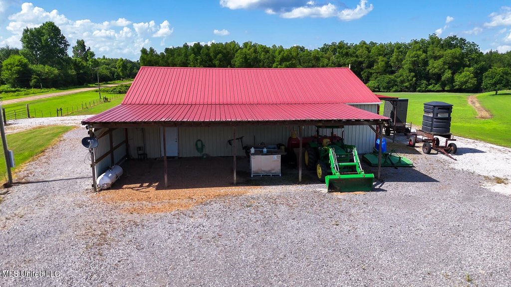
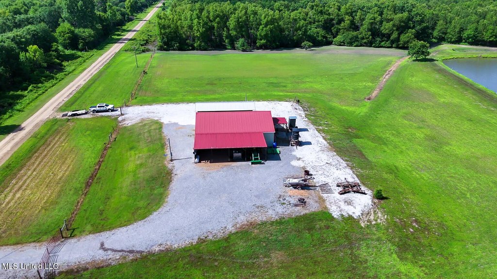
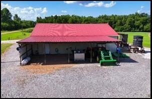
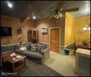
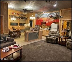
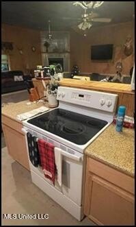
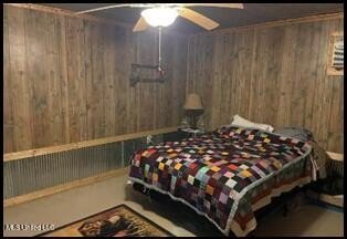
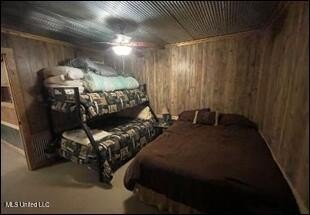
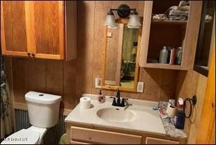
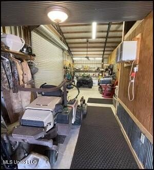
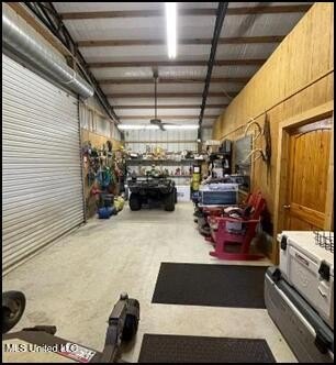
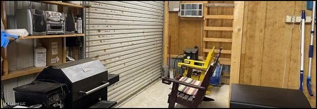
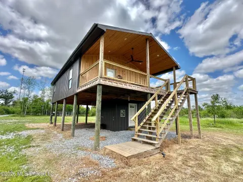
This waterfront hunting property includes a lodge situated on five acres, featuring an open plan family room, kitchen, and dining area. The lodge has two large bedrooms, each with its own full bath, plus an enclosed rear area with a laundry room, large mud sinks, and storage. A 16' roll-up door opens to a covered area suited for cookouts and outdoor gatherings. The lodge can sleep up to 12 guests, with additional covered and enclosed storage for equipment, hunting gear, and ATVs/4-wheelers. There is also a 20' x 60' covered equipment storage area on the side.
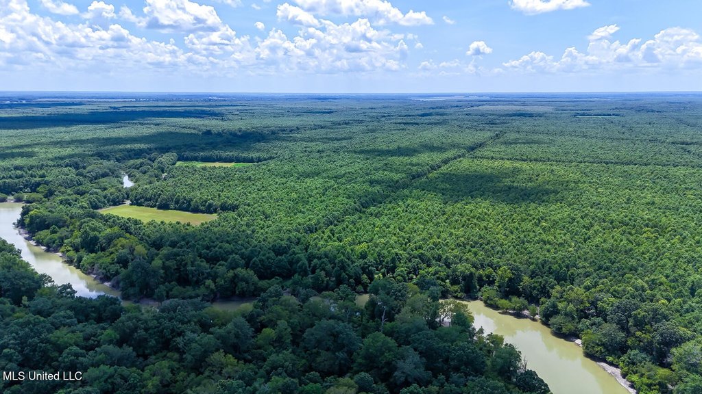
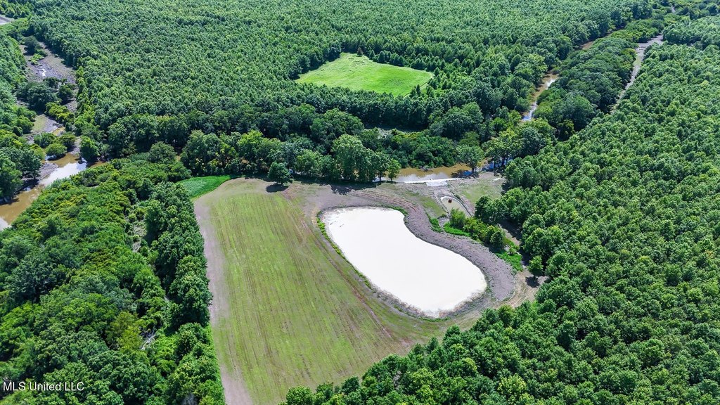
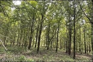
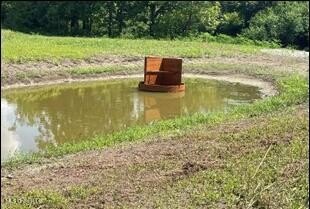
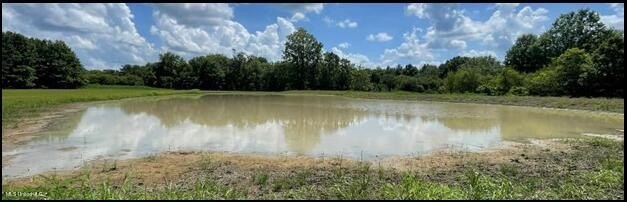
The hunting grounds are a three-minute ride from the lodge and total 464 acres, with fishing in the False River. The property includes duck structures, and it is described as supporting deer, turkey, hogs, and occasional bear visits.
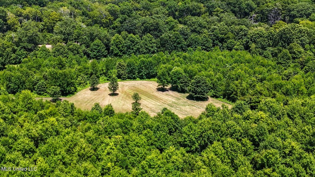
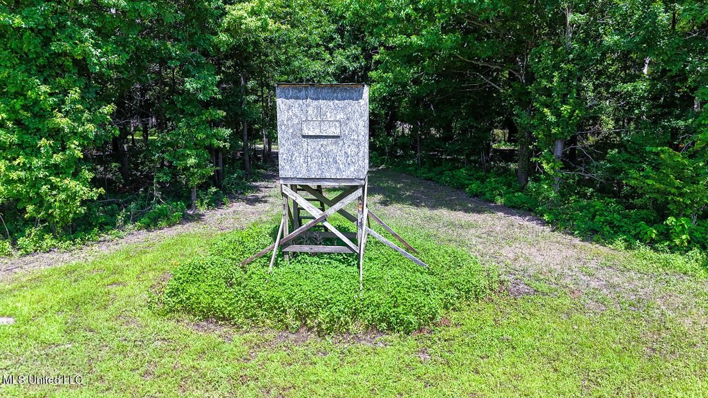
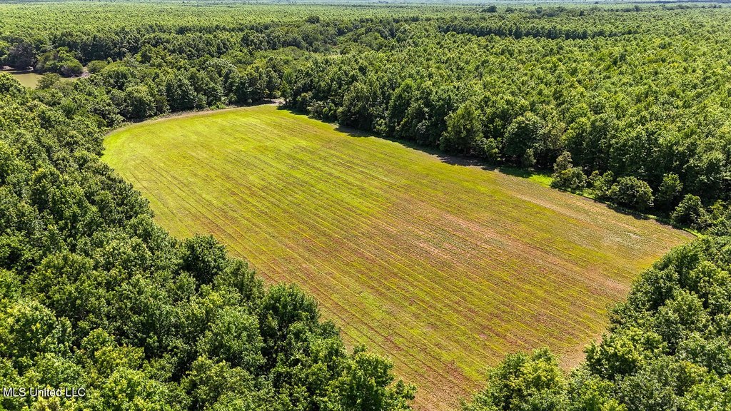
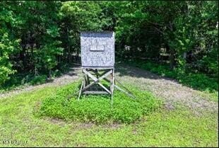
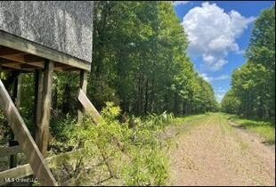
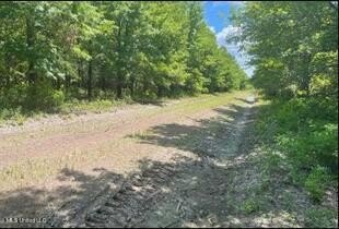
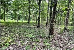
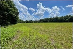
The land features a grid road system with roads that are hipped and crowned, along with five food plots that include shooting houses. Two of the food plots are along the False River, and one overlooks a duck structure. There are also eight additional shooting houses at road junctions where intersections are planted in the fall. Additional acreage is available, with an adjoining 254 acres bringing the total to 710 acres.
The hunting grounds are a three-minute ride from the lodge and total 464 acres, with fishing in the False River. The property includes duck structures, and it is described as supporting deer, turkey, hogs, and occasional bear visits.
The land features a grid road system with roads that are hipped and crowned, along with five food plots that include shooting houses. Two of the food plots are along the False River, and one overlooks a duck structure. There are also eight additional shooting houses at road junctions where intersections are planted in the fall. Additional acreage is available, with an adjoining 254 acres bringing the total to 710 acres.
Key Highlights
- 464‑acre (potentially 710‑acre) hunting paradise in Sharkey County, Mississippi.
- Lodge on 5 acres that sleeps 12, featuring an open floor plan and 2 bedrooms with full baths.
- Abundant wildlife including trophy deer, turkey, ducks, hogs, and occasional bear visits.
Property Analytics
Property Profile
Location Intelligence
Current Use by Public Records
Hunting land
Similar For Sale Nearby

FAQs
What type of property is this?
Hunting land - Waterfront hunting property with a lodge, covered cook area, equipment storage, and food plots with multiple shooting houses.
Where is this hunting land located?
The property is located at Priddy Rd Rolling Fork, MS.
What is the asking price?
The asking price for this property is $2,111,200.
What are key features of this property?
This property features: 464‑acre (potentially 710‑acre) hunting paradise in Sharkey County, Mississippi.; Lodge on 5 acres that sleeps 12, featuring an open floor plan and 2 bedrooms with full baths.; Abundant wildlife including trophy deer, turkey, ducks, hogs, and occasional bear visits.