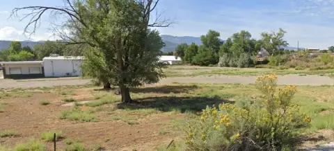
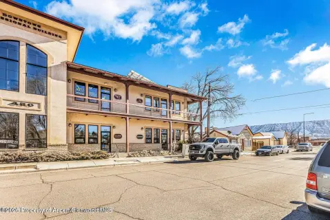
Snyder Subdivision, Rifle, CO 81650
- Added:
- Jun 5, 2026
- Days on Market:
- 10
- Last Refresh:
- Jun 14 at 4:06 am
Property Features for Snyder Subdivision
General Information
- Property type
- Land
- Property subtype
- Other
- Zoning
- LDR
- Standard status
- Active
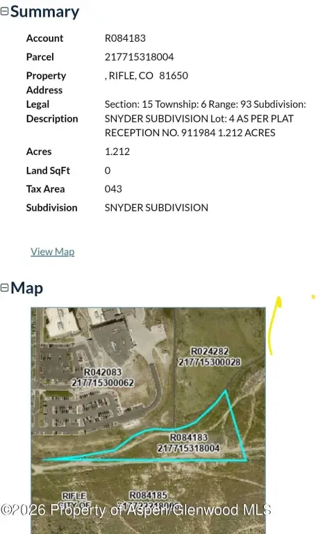
- APN
- 217715318004
- Lot size
- 1.21 Acres
Taxes and HOA fees
- Tax Year
- 2025
- Tax Description
- Section: 15 Township: 6 Range: 93 Subdivision: SNYDER SUBDIVISION Lot: 4 AS PER PLAT RECEPTION NO. 911984 1.212 ACRES
- Tax Annual Amount
- 2020
Utilities
- Water source
- Public

Listing agent Todd Ambrose License #100065972 (970) 404-1424
Listing office eXp Realty LLC 9800 Pyramid Ct #400, Englewood, CO (888) 440-2724
Listing date Jun 5, 2026
Copyright © 2026 Aspen Glenwood MLS. All rights reserved. All information provided by the listing agent/broker is deemed reliable but is not guaranteed and should be independently verified.
HighLights
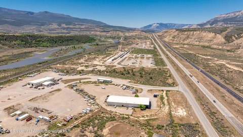
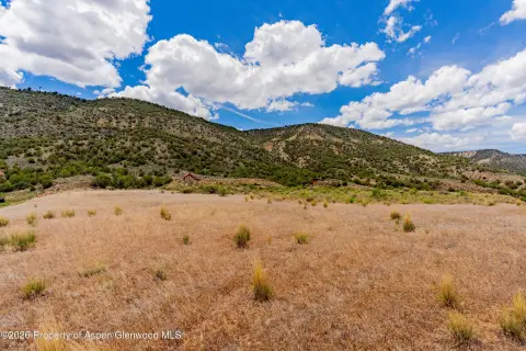
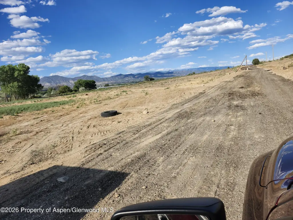
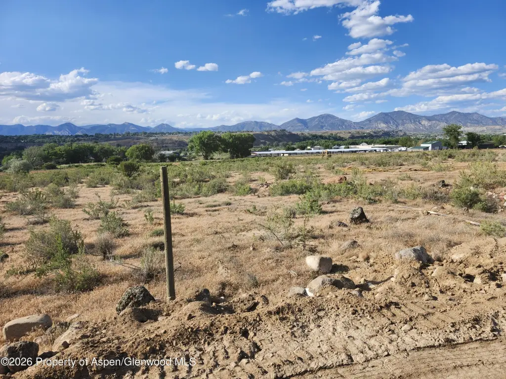
- 1.212‑acre vacant lot in Rifle, CO (Garfield County) in the Snyder Subdivision (Lot 4, Plat Reception No. 911984)
- Situated on the edge of Rifle city limits with an account/parcel ID of R084183 / 217715318004
- DR (Developing Resource) zoning for the parcel
- Public water source listed
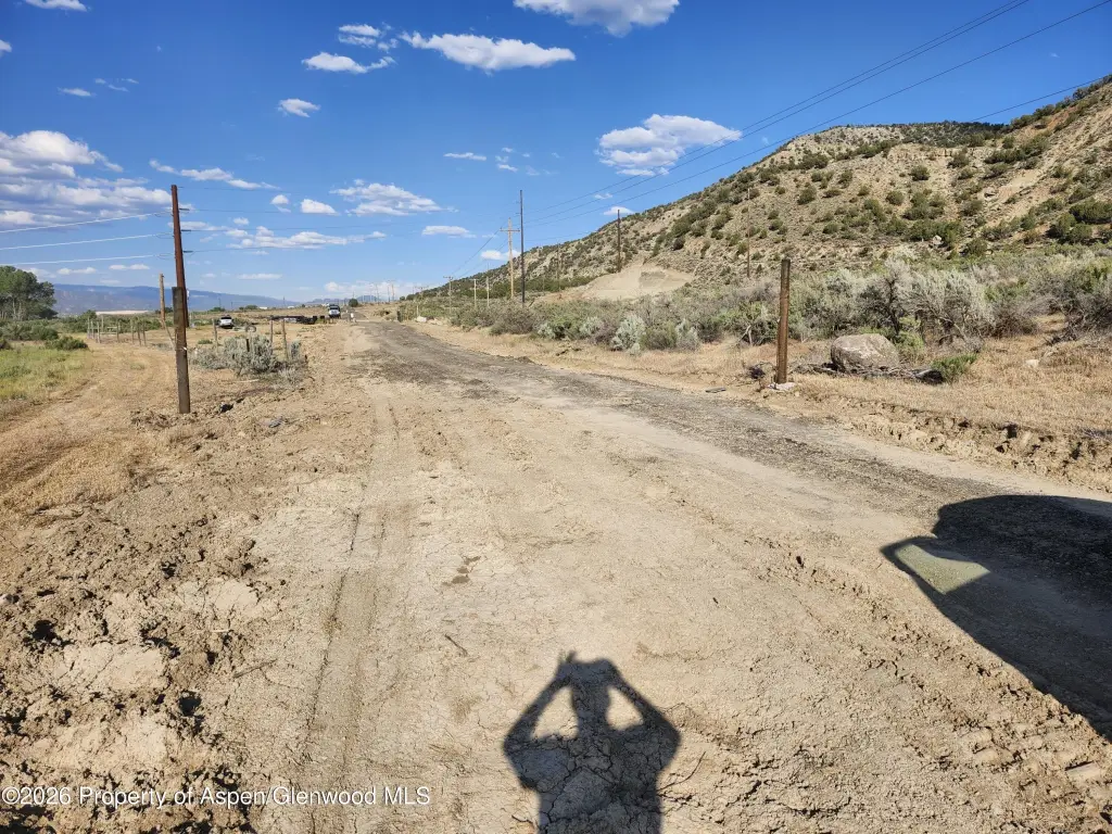
- No existing structures on the property; 100% vacant ground ready for new development
- Listing states immediate park dedication requirements, cash‑in‑lieu payments, and municipal water rights fees are not required until formally rezoning for urban development
Overview
The property is located in Garfield County in Rifle, Colorado, with the address given as Snyder Subdivision. Public remarks indicate the lot is positioned on the edge of Rifle city limits. The listing also includes account/parcel identifiers R084183 and 217715318004, along with Plat Reception No. 911984 for the subdivision.
With LDR zoning noted for the parcel, this property may be a practical fit for buyers seeking a larger, buildable lot within a defined subdivision setting. Because the land is unimproved and currently vacant, it can be considered by buyers and investors looking to move forward with their own planned improvements rather than adapting an existing structure. Interested parties should review the LDR zoning requirements as they relate to their intended residential or other permitted land use.
Current Use by Public Records
Map
- City
- Rifle
- County
- Garfield
- State
- Colorado
- Longitude
- -107.769465
- Latitude
- 39.528921