Agricultural Land Tract for
For Sale
$297,895
Pridgen Dead End Road, La Grange, NC 28551
Land, La Grange, NC
Property SizeContact for details
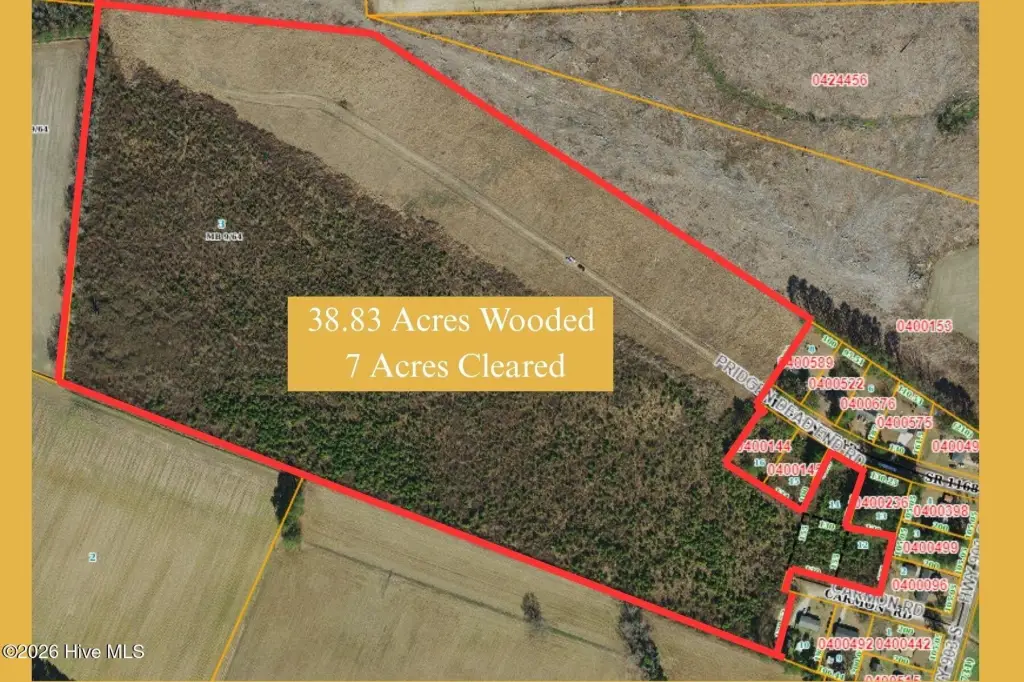
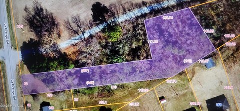
Lot Size45.83 Acres
Days on Market142
Property Features for Pridgen Dead End Road
General Information
Property type
Land
Property subtype
Other
Zoning
WD- Agriculture
Subdivision
Not In Subdivision
Lot features
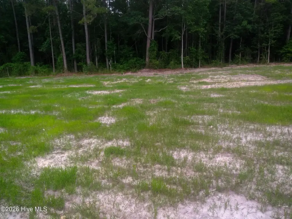
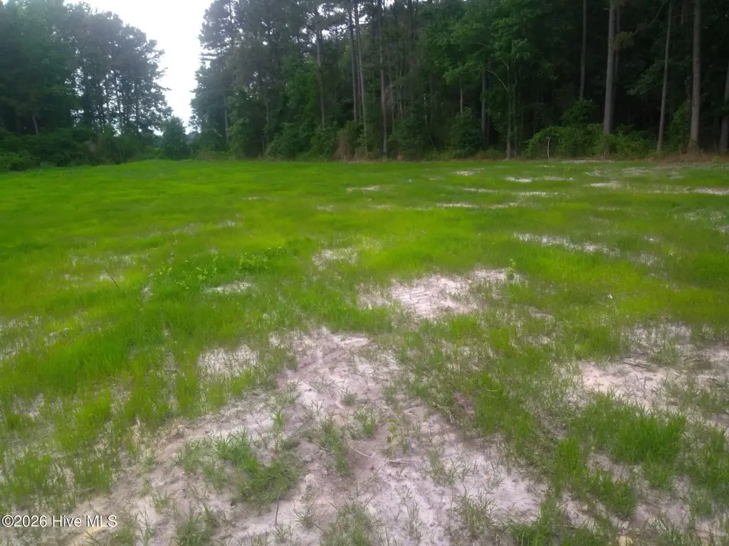
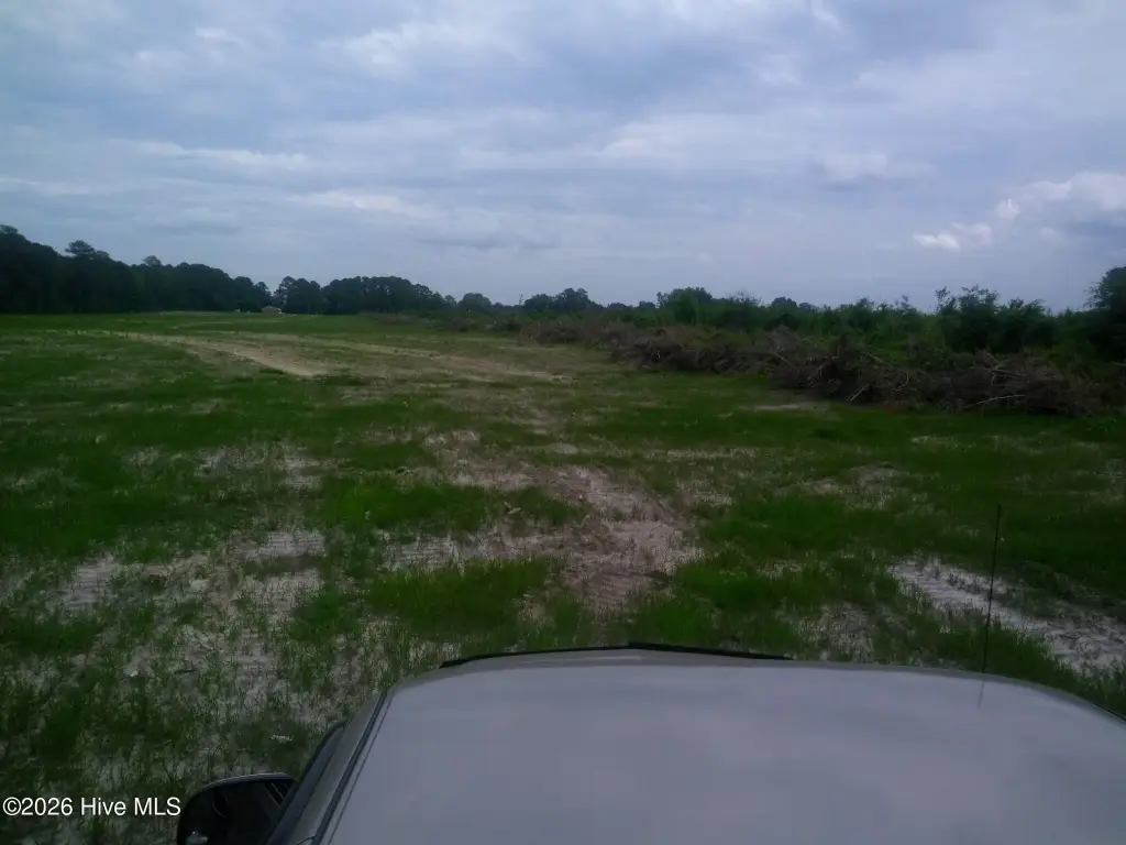
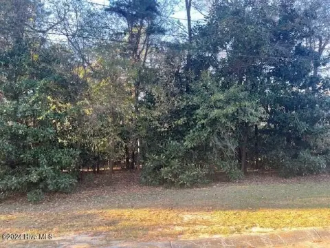
Dead End, Partially Cleared, Wooded
Elementary school
West Greene
Middle school
Greene County Middle
High school
Greene Central High
Directions
Follow NC-111 N/NC Hwy 111 S, Millers Chapel Rd and Parkstown Rd to Jason Rd: 15 min (10.9 mi); Turn left onto Jason Rd: 2 min (1.2 mi): Turn left onto NC-903 N: 1 min (0.9 mi): Turn left onto Pridgen Dead End Rd- Property located at the end of Pridgen Deadend Rd.
Standard status
Active
APN
0400469
Lot size
45.83 Acres
Taxes and HOA fees
Tax Year
2025
Tax Description
50.83 Acres Also See Exhibit A- of attached Deed
Legal Description
50.83 Acres Also See Exhibit A- of attached Deed
Listing Agency:
Astrong Realty & Associates
Listed By:
Ashley Armstrong · License #317640
(919) 330-9217
Added: May 18
Changed: Aug 19
Last Checked: Oct 6 at 12:06PM
MLS# 100574865
Copyright © 2026 Hive MLS. All rights reserved. All information provided by the listing agent/broker is deemed reliable but is not guaranteed and should be independently verified.
Investment Insights
Based on property information with market context.
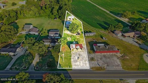
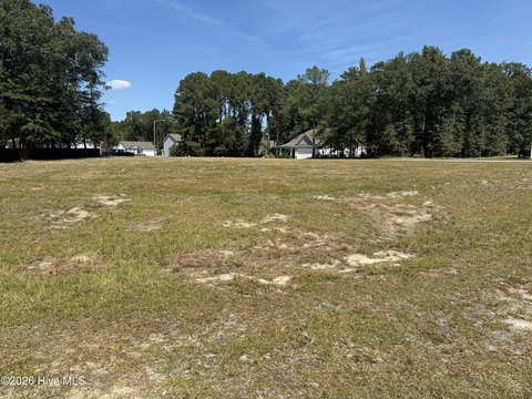
This offering is a 45.83-acre land tract in Greene County, located in La Grange, North Carolina, with zoning designated WD–Agriculture. The property is presented as raw land with no building size or improvements specified in the available information.
The parcel is situated at the end of Pridgen Dead End Road, providing a more secluded setting. While the remarks describe proximity to regional employment and travel corridors, specific access features and local frontage details are not provided here.
For buyers looking for land options in an agricultural zoning district, this tract may fit planning for residential development, estate-style lots, or recreational use, subject to applicable zoning and permitting requirements. It may also be considered by developers and investors interested in acquiring a larger land parcel for future project planning in the La Grange area. Interested parties should verify development feasibility, allowable uses, and any site-specific conditions with the appropriate local authorities prior to purchase.
The parcel is situated at the end of Pridgen Dead End Road, providing a more secluded setting. While the remarks describe proximity to regional employment and travel corridors, specific access features and local frontage details are not provided here.
For buyers looking for land options in an agricultural zoning district, this tract may fit planning for residential development, estate-style lots, or recreational use, subject to applicable zoning and permitting requirements. It may also be considered by developers and investors interested in acquiring a larger land parcel for future project planning in the La Grange area. Interested parties should verify development feasibility, allowable uses, and any site-specific conditions with the appropriate local authorities prior to purchase.
Key Highlights
- 45.83‑acre tract of land in the La Grange area for residential, commercial, estate lot, or recreational use
- Located at the end of Pridgen Dead End Road for a quiet, private setting
- About 10 minutes from Goldsboro
Property Analytics
Unlock full access to Insights
Subscribe to Realmo Intelligence
Open Analytics
Current Use
Location Intelligence
Trade Area within ½ mile
9
Businesses Nearby
Explore this area
Business Placement
Demographics for 28551, NC
13,215
Population
5,827
Households
2.3
Avg Household Size
41
Median Age
18%
College-Educated
87%
High-School Grad
132.7 sq mi
ZIP Area
100
Density / Sq Mi
$52,449
Median Household Income
$33,613
Median Earnings
$714
Median Rent
$119,700
Median Home Value
Check the figures for this property
Cap Rate, Value Estimation, Potential NOI and more
View Realmo Analytics

Questions? Ask Rey
Realmo’s AI knows this listing — price, zoning, demand, history. Ask anything.




Frequently Asked Questions
What type of property is this?
Agricultural land / Farmland - A sizable agricultural zoned tract in La Grange suited for residential, recreational, or other land-based development planning.
Where is this agricultural land / farmland located?
The property is located at Pridgen Dead End Road La Grange, NC.
What is the asking price?
The asking price for this property is $297,895.
What are key features of this property?
This property features: 45.83‑acre tract of land in the La Grange area for residential, commercial, estate lot, or recreational use; Located at the end of Pridgen Dead End Road for a quiet, private setting; About 10 minutes from Goldsboro