Off-Grid Recreational Wooded
Potter Road Lowell, VT 05847
Potter Road, Lowell, VT, 05847
$150,000
For Sale
$150,000
LAND - Lowell, VT
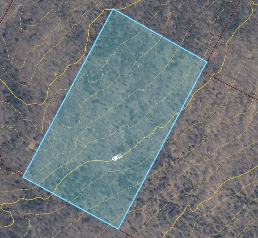
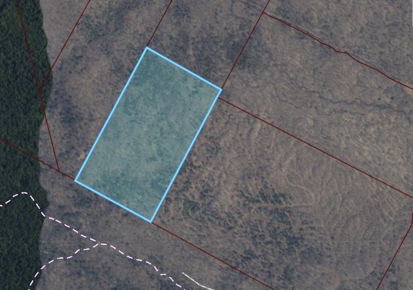
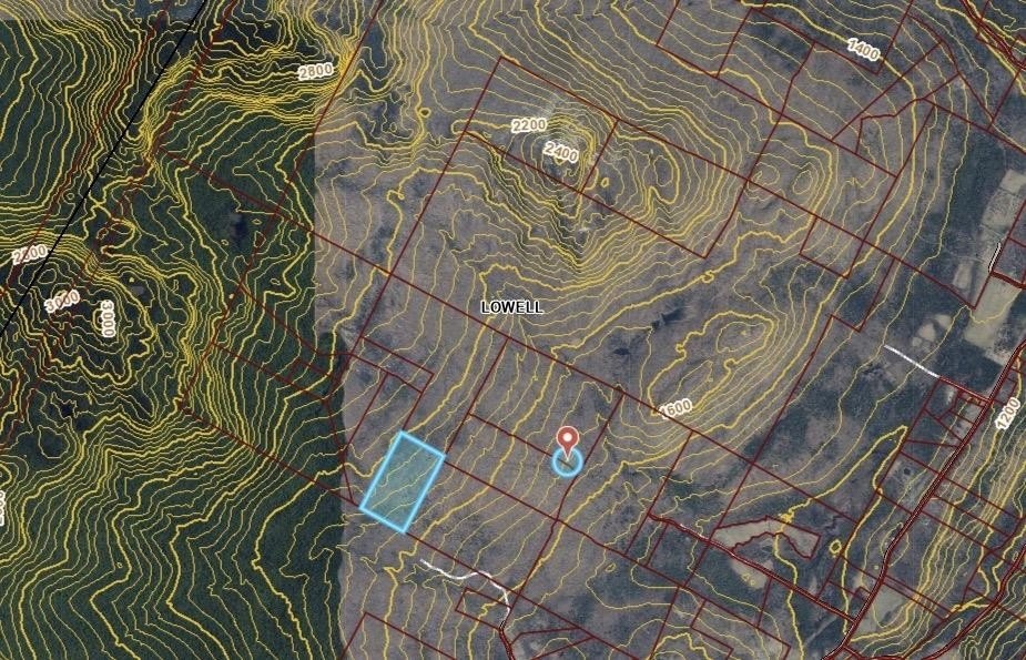
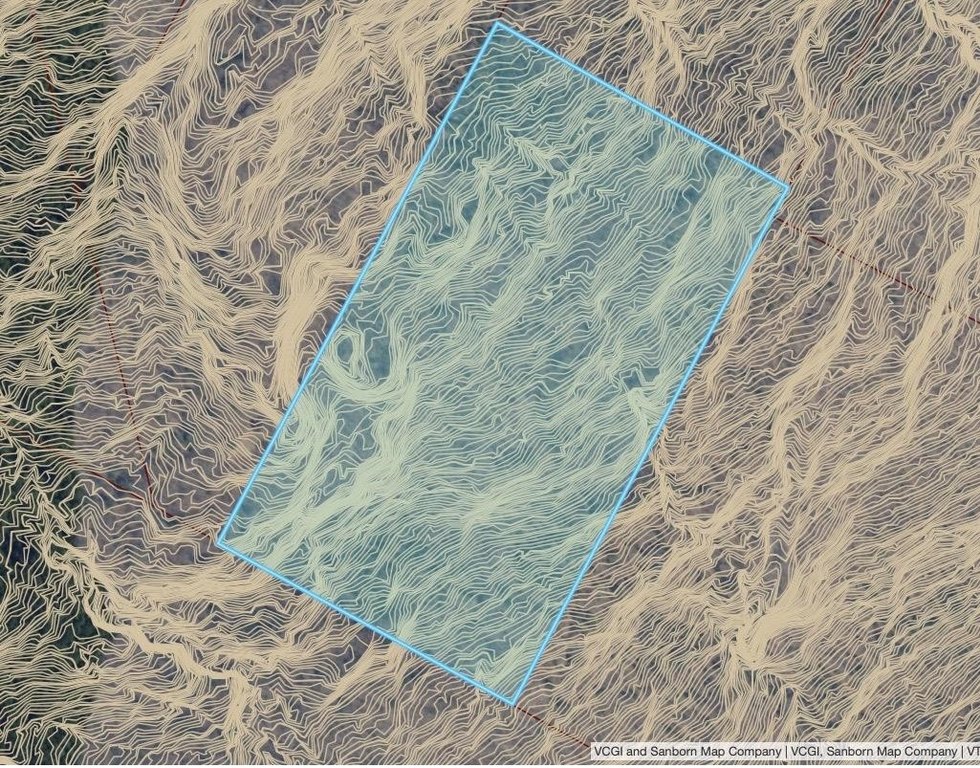
Lot Size40.00 Acres
Days on Market79
Property Features for Potter Road
General Information
- Property type
- Land
- Property subtype
- Other
- Zoning
- rural
- Standard status
- Active
- Lot size
- 40.00 Acres
Taxes and HOA fees
- Tax Year
- 2025
- Tax Annual Amount
- 920
Listing agency
Blue Spruce Realty, Inc.
(802) 635-7766
Listed by
Amber Foote
(802) 635-7766
Added: May 4 Updated: Jun 19 at 8:37AM Checked: Jul 21 at 11:06PM
MLS# 5086984
Copyright © 2026 PrimeMLS. All rights reserved. All information provided by the listing agent/broker is deemed reliable but is not guaranteed and should be independently verified.
Investment Insights
Based on property information with market context.
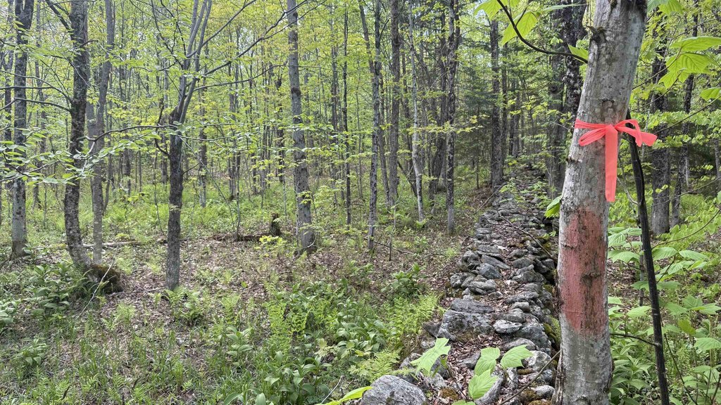
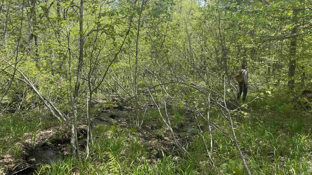
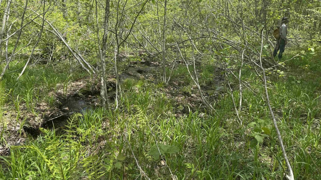
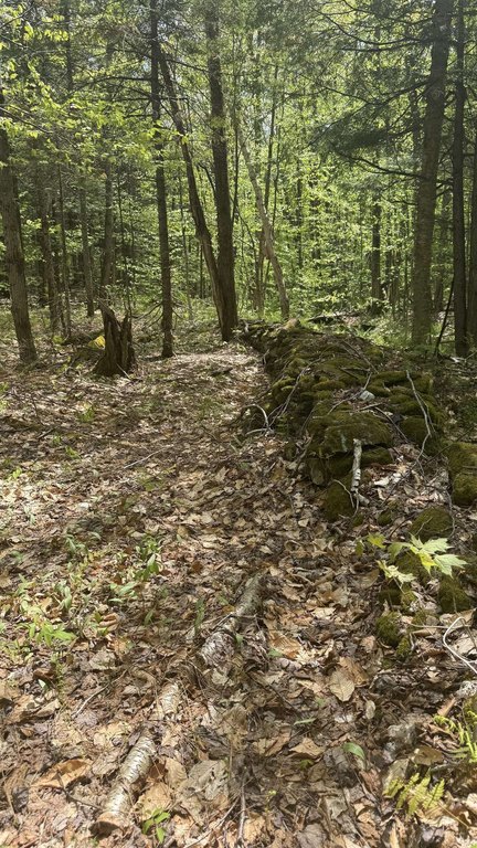
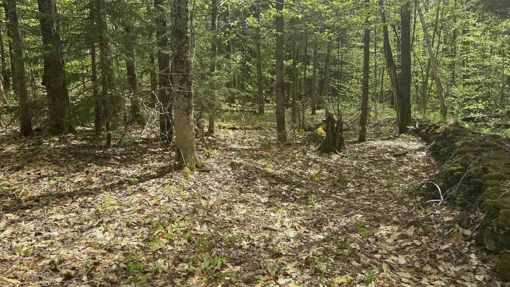
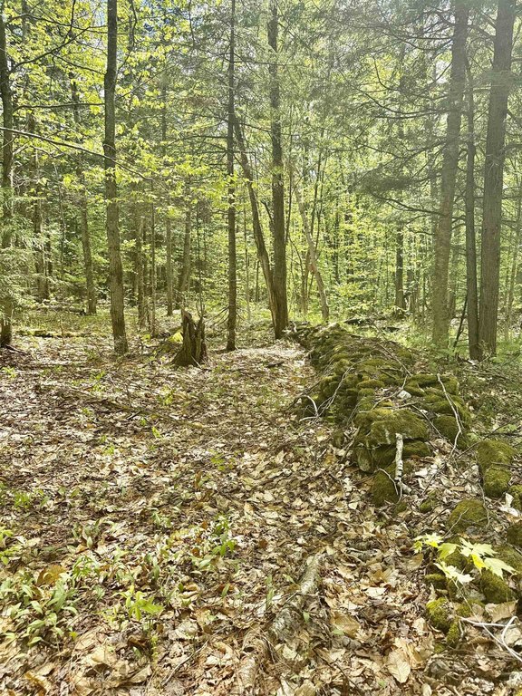
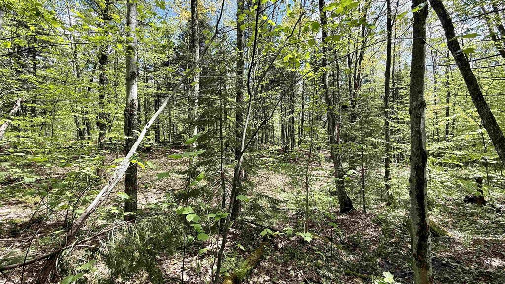
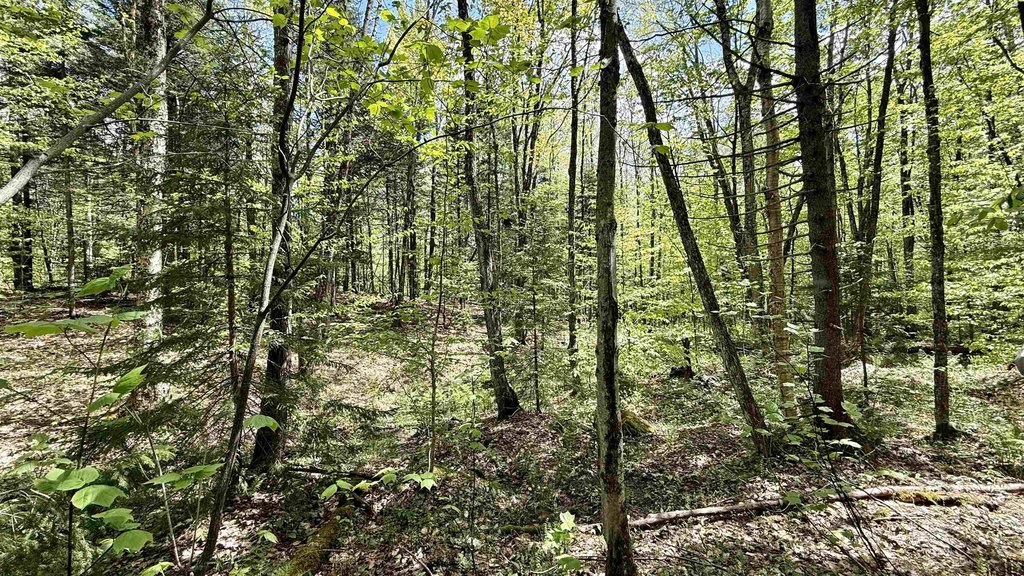
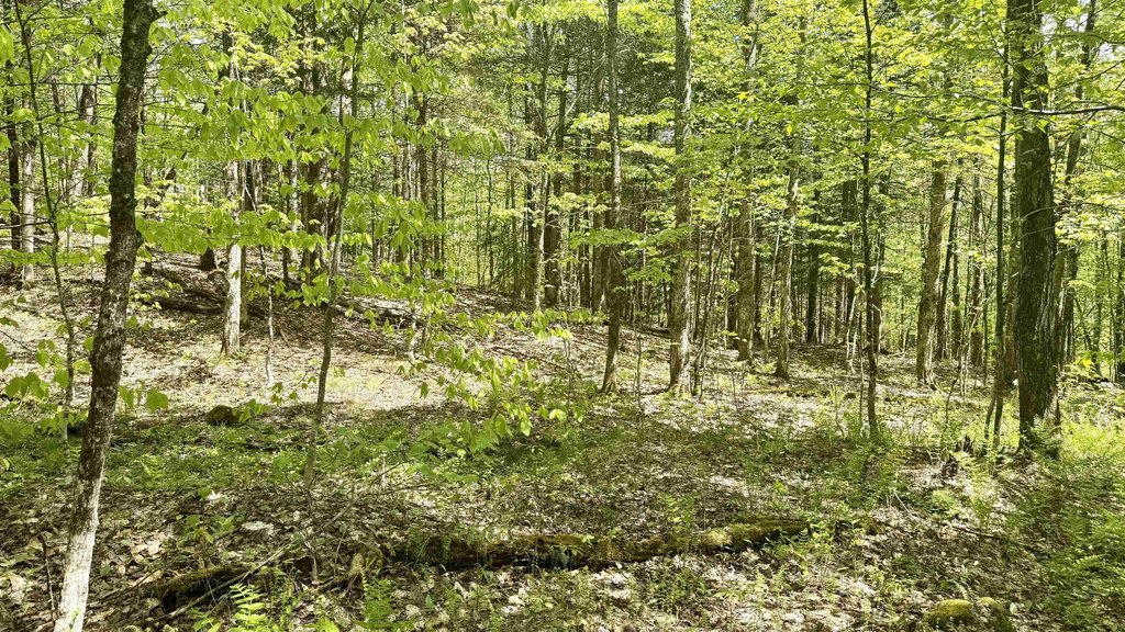
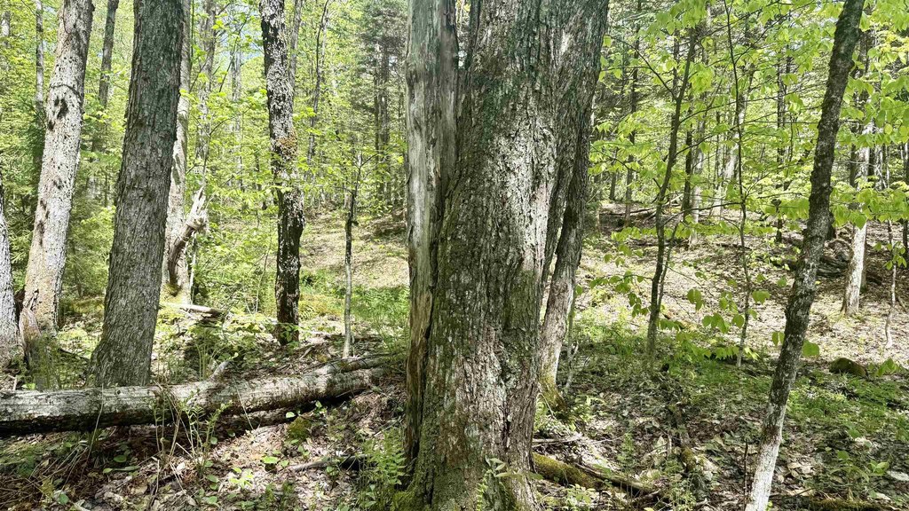
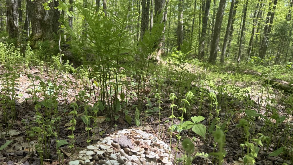
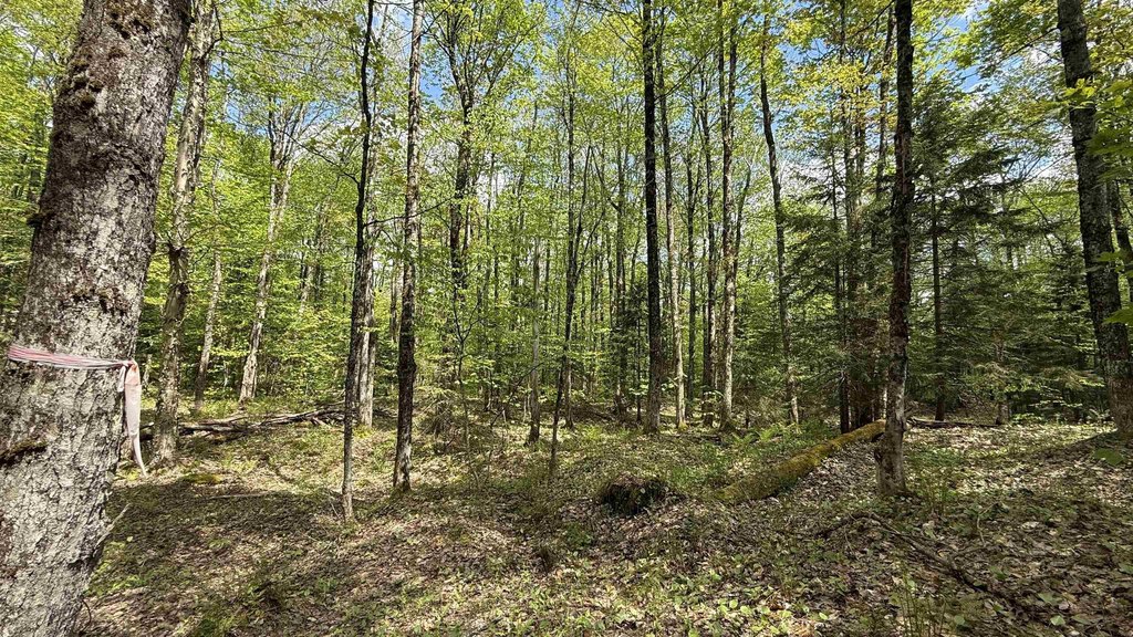
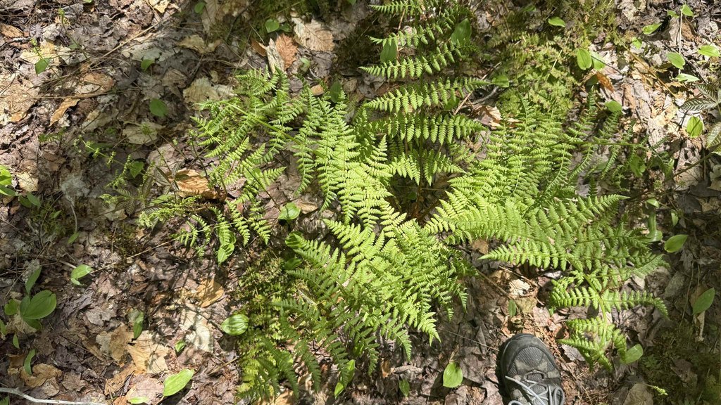
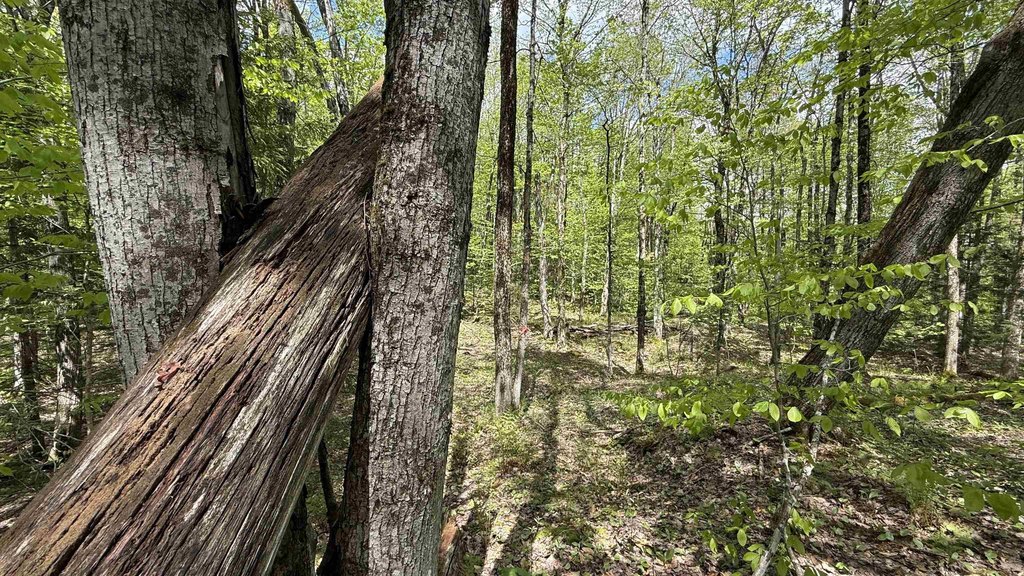
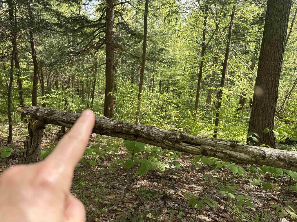
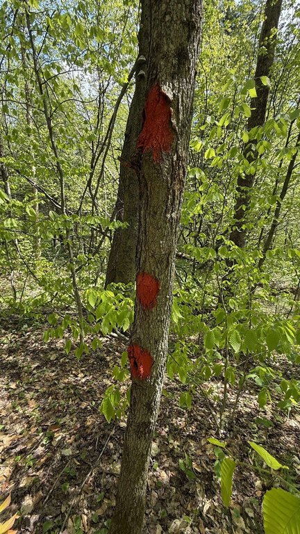
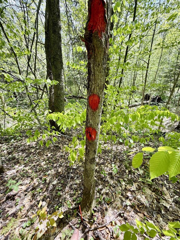
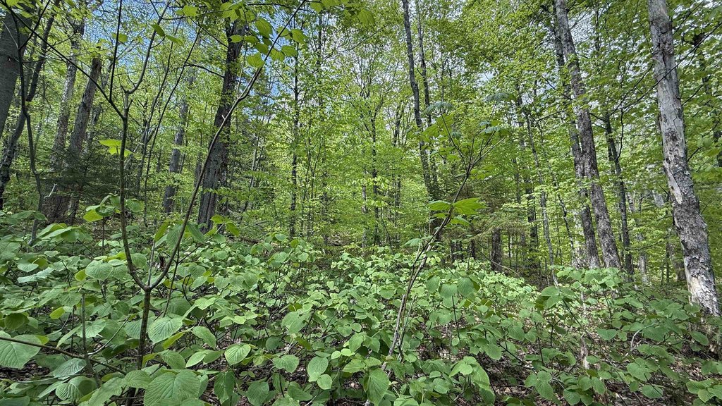
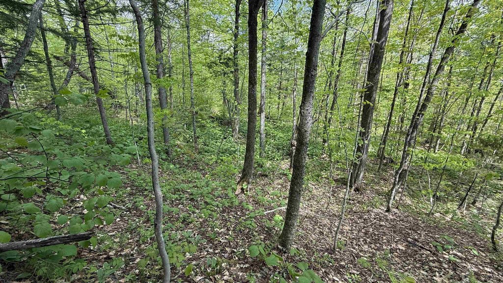
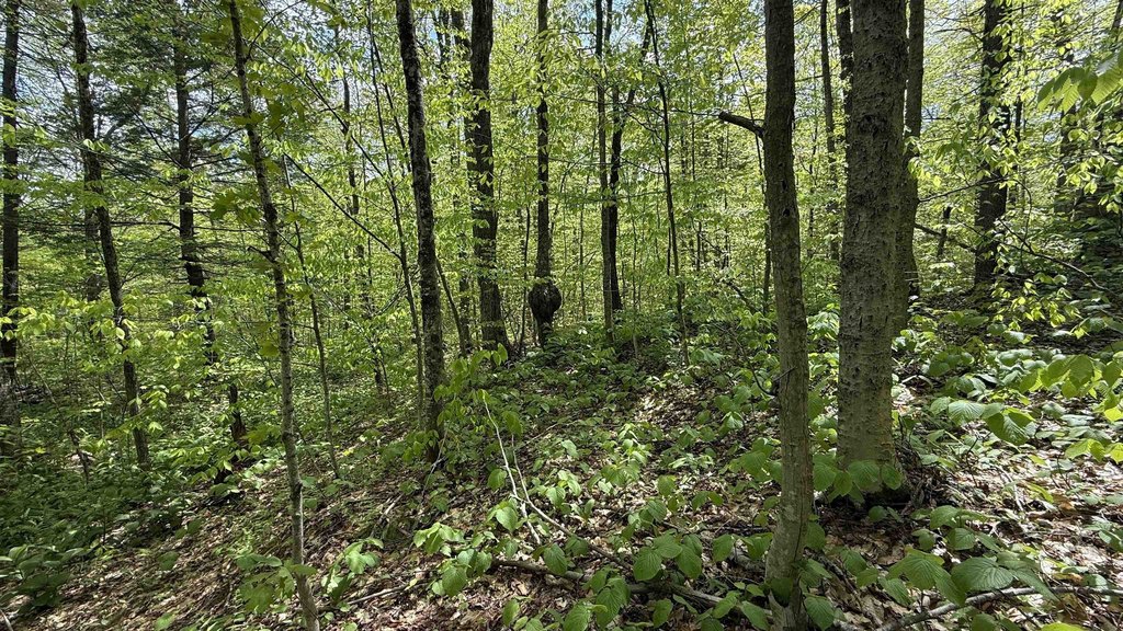
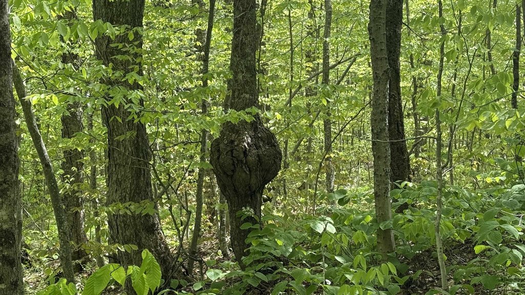
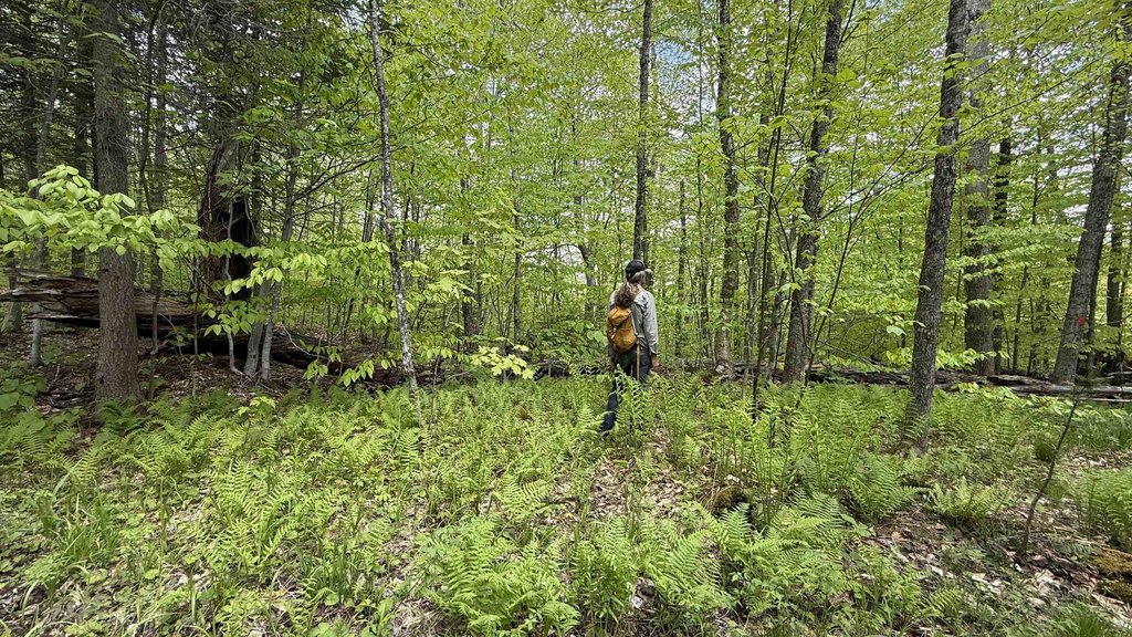
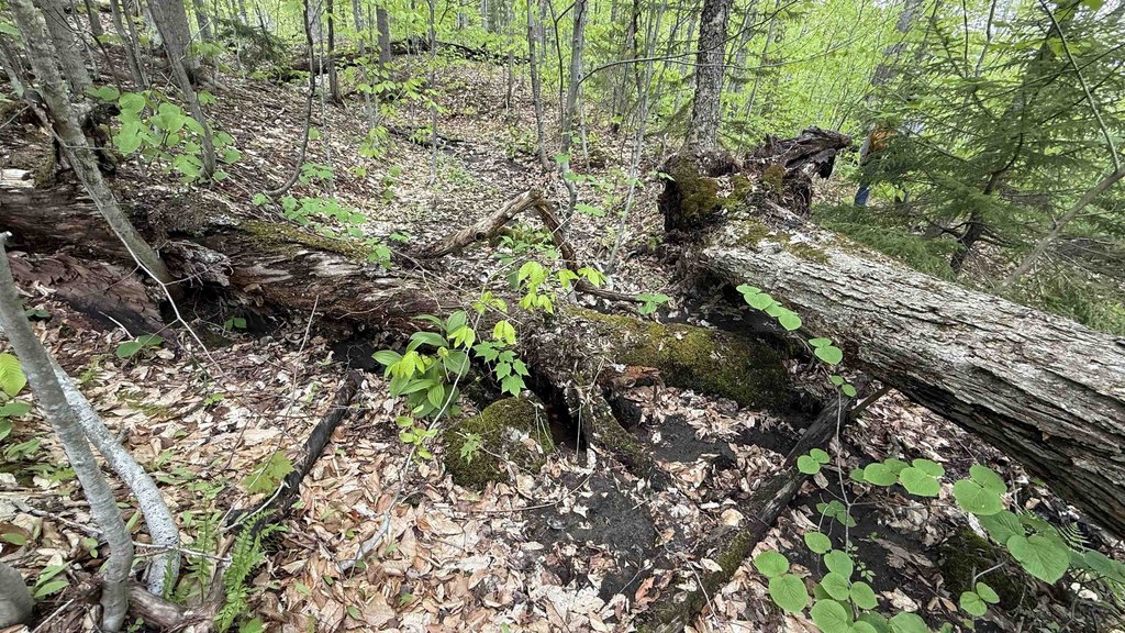
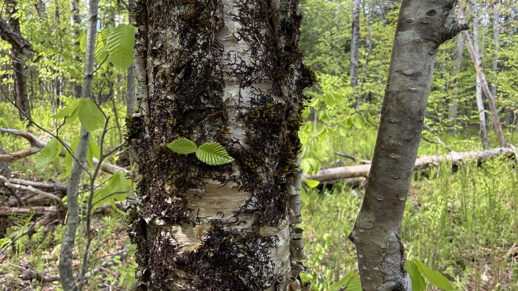
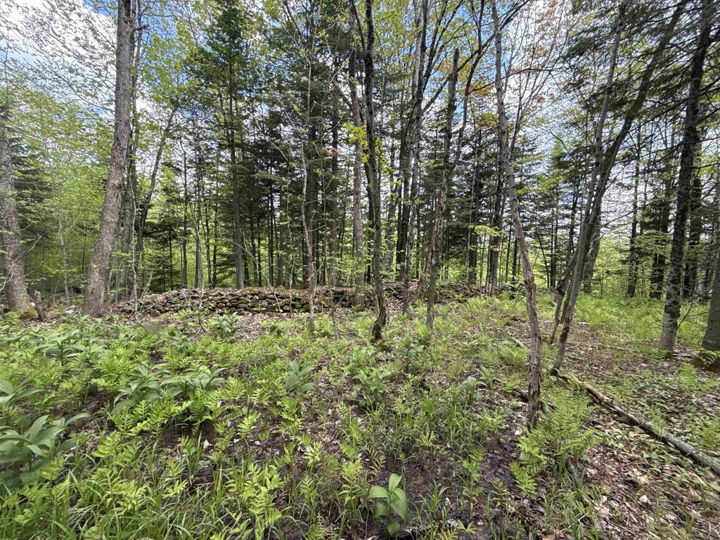
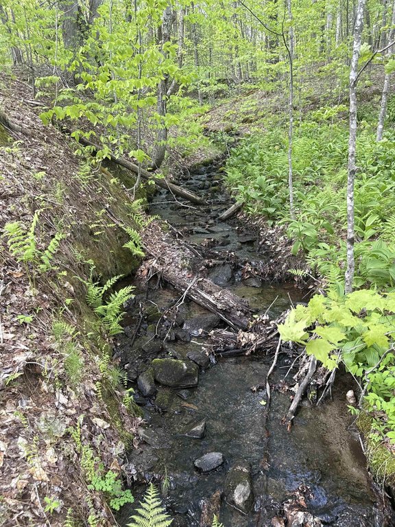
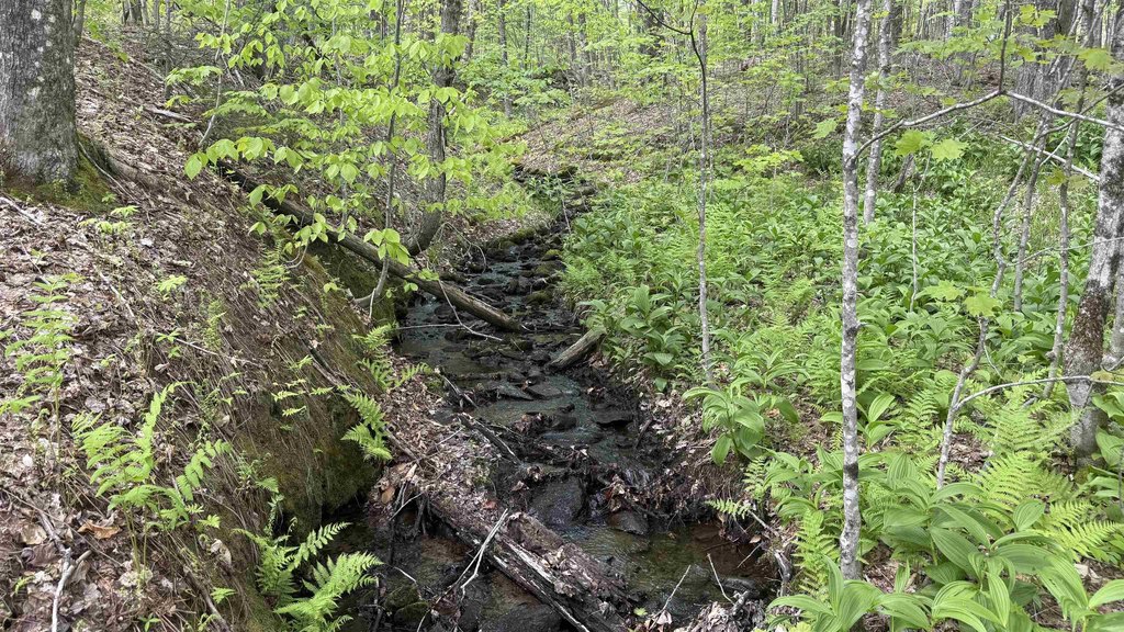
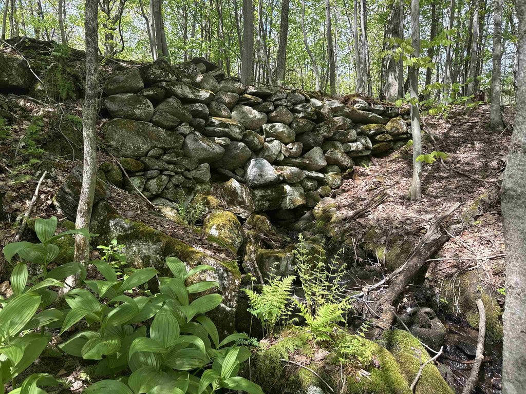
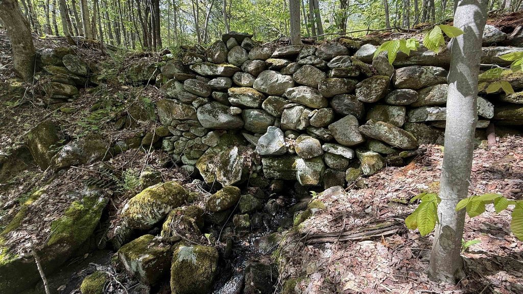
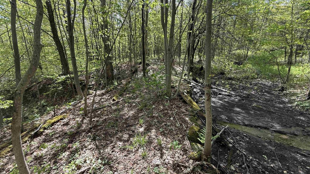
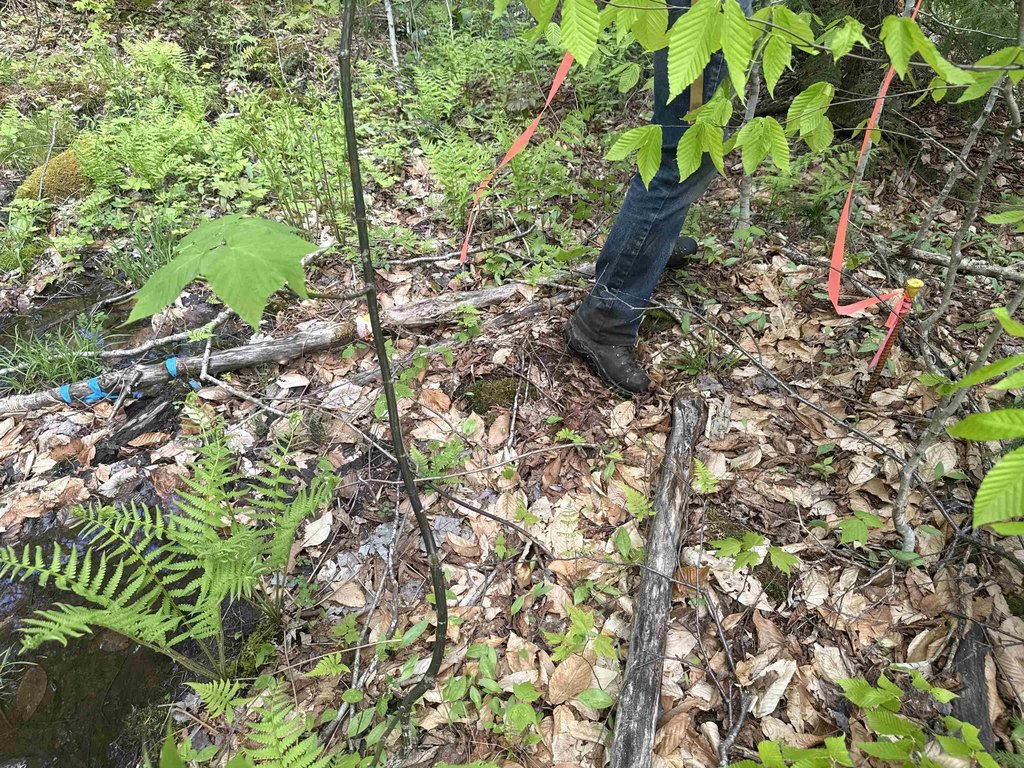
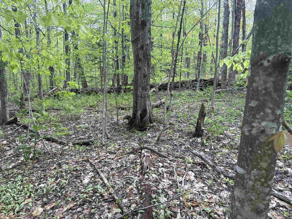
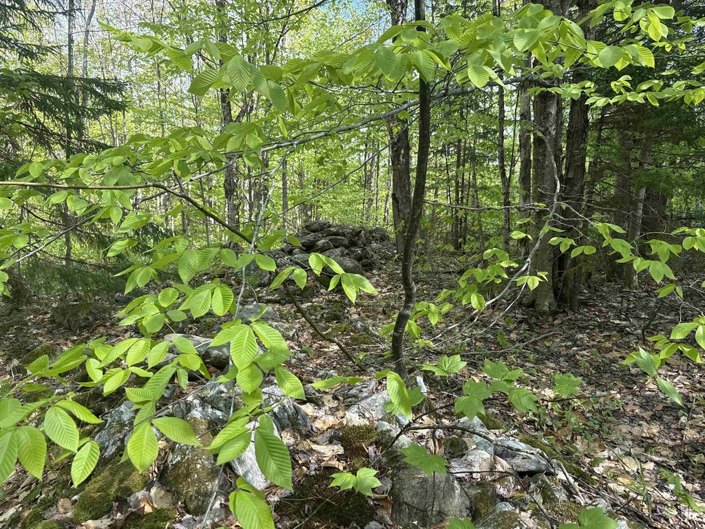
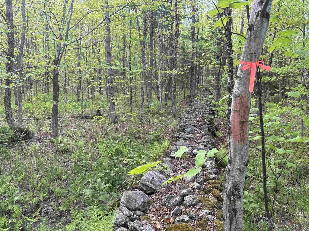
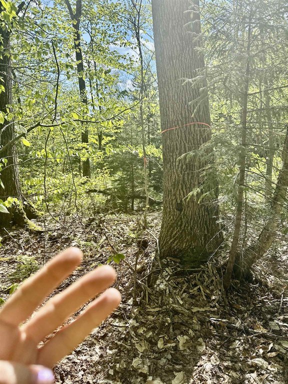
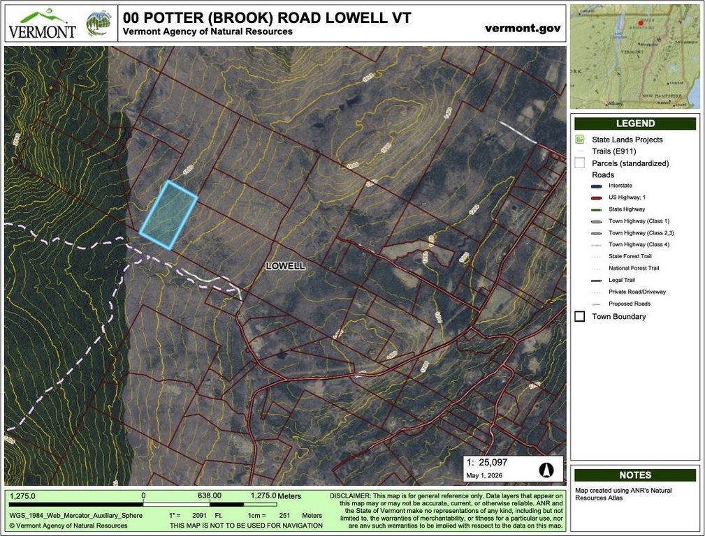
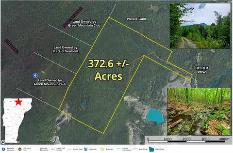
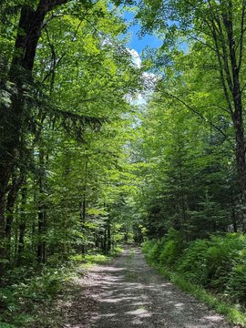
This recreational land parcel offers a moderately wooded setting with stone walls and scattered features including an old foundation. Natural terrain includes ravines and wet areas that suggest multiple springs, along with firewood trees. The property also includes a gated entry and is accessed through deeded and flagged right-of-way described as roughly 30 feet wide, with the parcel lines and ROW reflagged May 26th. No soil testing has been performed, and supporting documents are available.
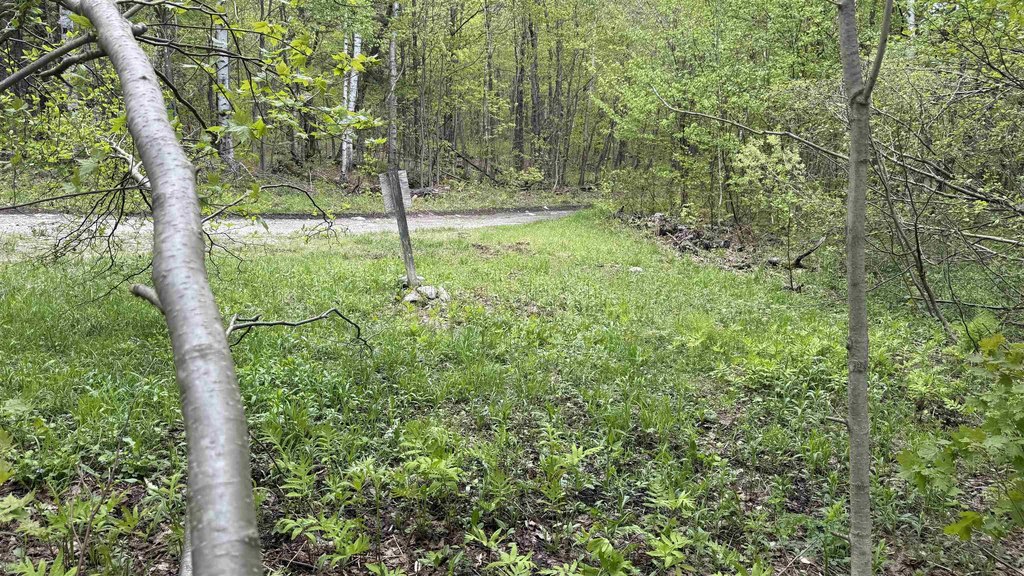
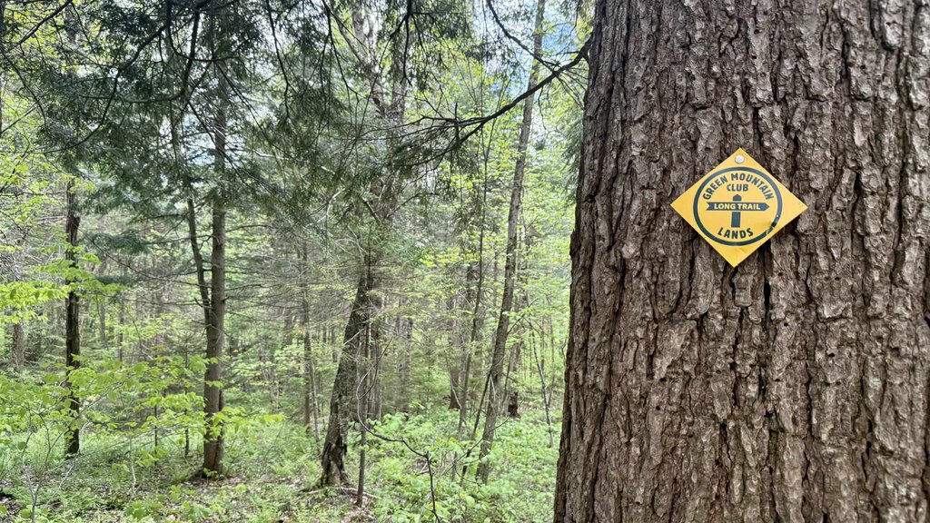
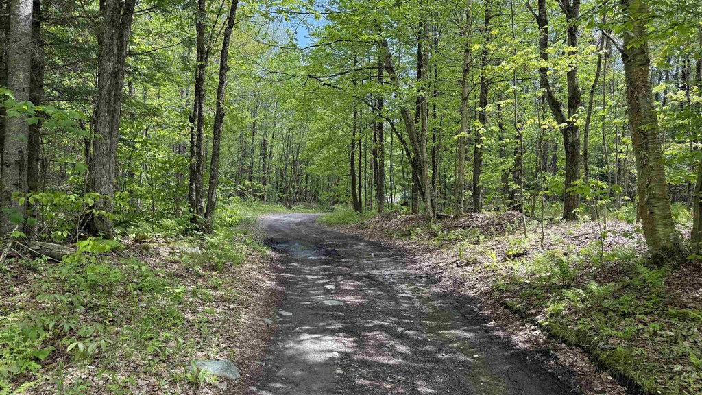
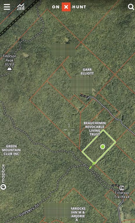
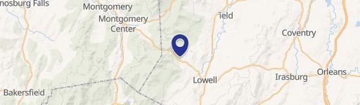
Access is described as off a Class IV town road via Potter Road (also referred to as Potter Brook Road). The entry is gated and about a mile in from the end of Potter Road, then a quiet, 30-foot wide deeded ROW leads onto the more remote parcel. The land abuts Green Mountain Club land and is noted to be approximately 140 yards east of the Frank Post Trail. The remarks also indicate GPS mapping is the best way to locate the property.
For buyers seeking a remote, off-grid, recreational tract in Vermont, this parcel’s mix of woods, water feature, and rugged terrain can support a low-impact retreat or outdoors use, subject to access and conditions on site. Please note the seller requests that you do not walk the property without permission.
Key Highlights
- 40+/- acres in Vermont woods with off‑grid, gated access about a mile in from Potter Road via a Class IV portion.
- Access includes a 30' wide deeded ROW after the Class IV portion, plus a 30' flagged ROW for entry.
- Property is moderately wooded with stone walls from VT’s earliest sheep farming era and scattered ravines.
Property Analytics
Property Profile
Location Intelligence
Current Use by Public Records
Recreation land
Similar For Sale Nearby


FAQs
What type of property is this?
Recreation land - Recreation land in Vermont with a brook, ravines, and deeded ROW access via a Class IV town road.
Where is this recreation land located?
The property is located at Potter Road Lowell, VT.
What is the asking price?
The asking price for this property is $150,000.
What are key features of this property?
This property features: 40+/- acres in Vermont woods with off‑grid, gated access about a mile in from Potter Road via a Class IV portion.; Access includes a 30' wide deeded ROW after the Class IV portion, plus a 30' flagged ROW for entry.; Property is moderately wooded with stone walls from VT’s earliest sheep farming era and scattered ravines.


