4166 Mines Road, Lowell, VT 05847
- Added:
- Mar 20, 2026
- Days on Market:
- 97
- Last Refresh:
- Jun 24 at 4:06 am
Property Features for 4166 Mines Road
General Information
- Property type
- Land
- Property subtype
- Other
- Zoning
- Indust, Cons-Mtn & Res-Ag
- Standard status
- Active
- Lot size
- 372.60 Acres
Taxes and HOA fees
- Tax Year
- 2025
- Tax Annual Amount
- 3520
Utilities
- Water front
- 1

Listing agent Curtis Trousdale (802) 862-9106
Listing office Preferred Properties 149 Knight Lane, Williston, VT (802) 862-9106
Listing date Mar 20, 2026
Copyright © 2026 PrimeMLS. All rights reserved. All information provided by the listing agent/broker is deemed reliable but is not guaranteed and should be independently verified.
HighLights
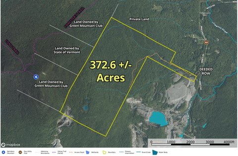
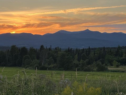
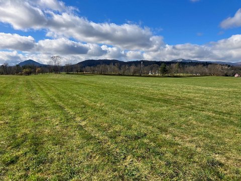
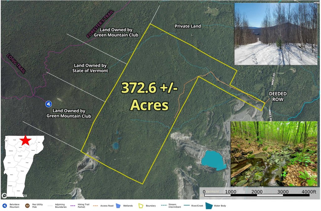
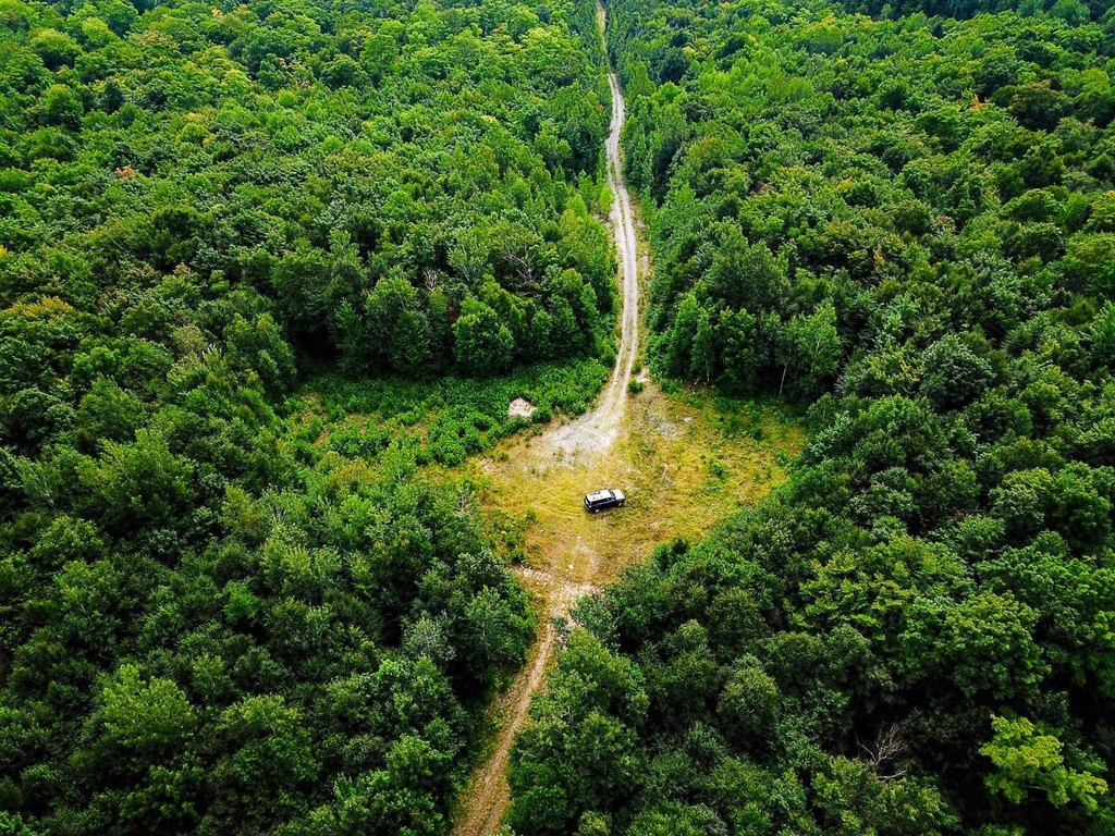
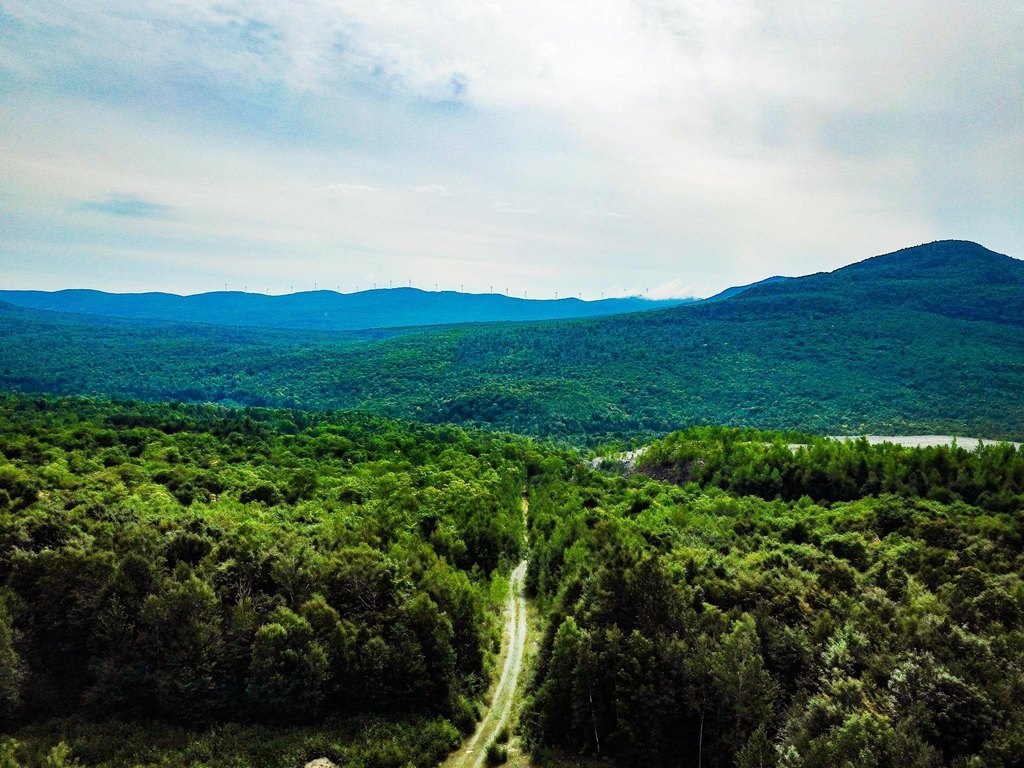
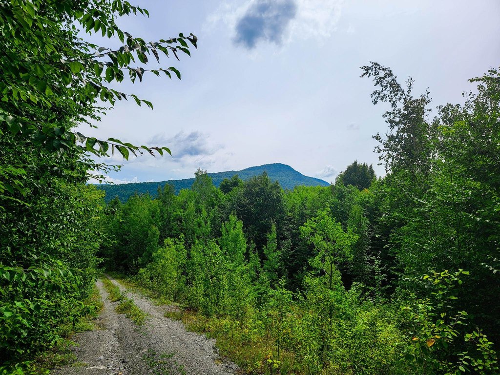
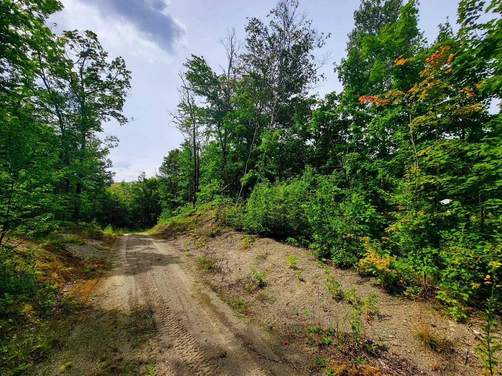
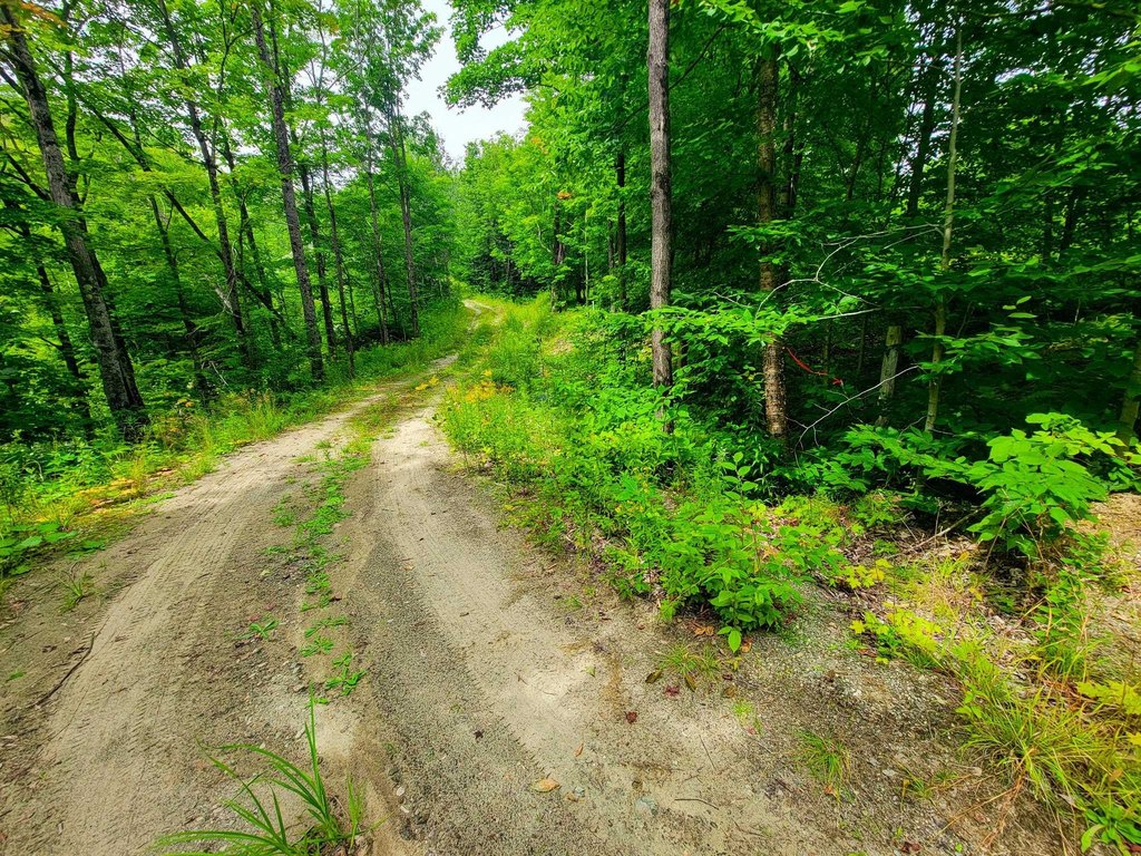
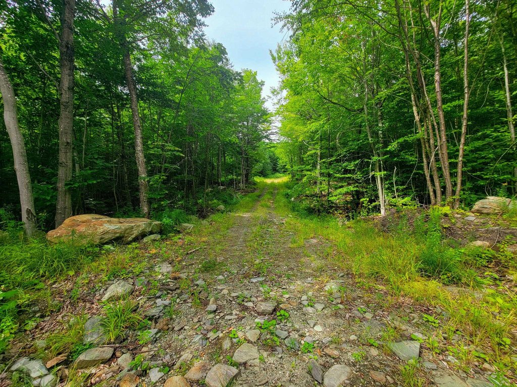
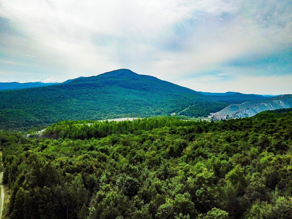
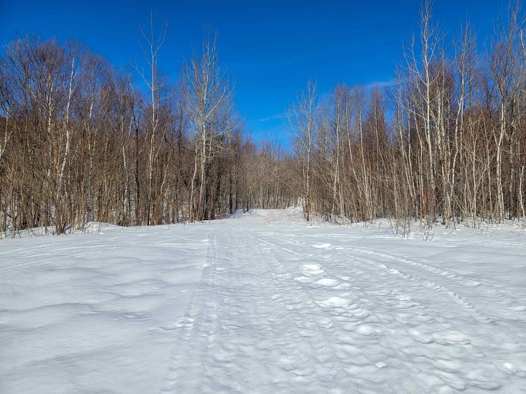
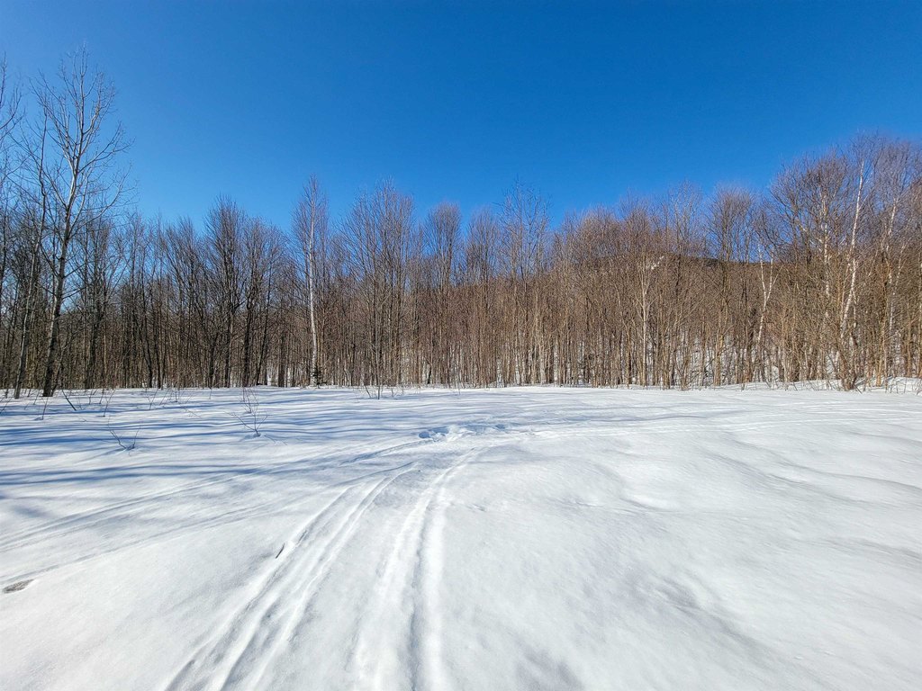
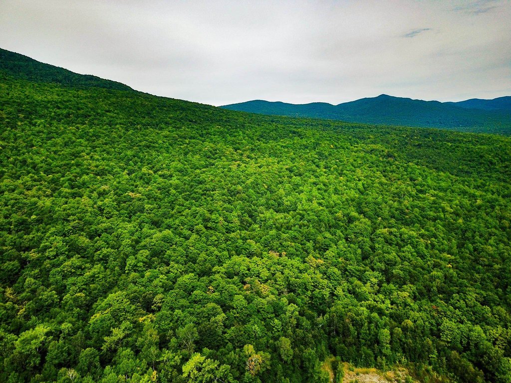
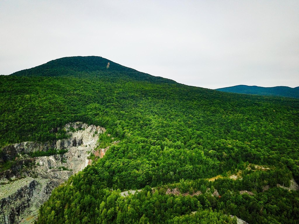
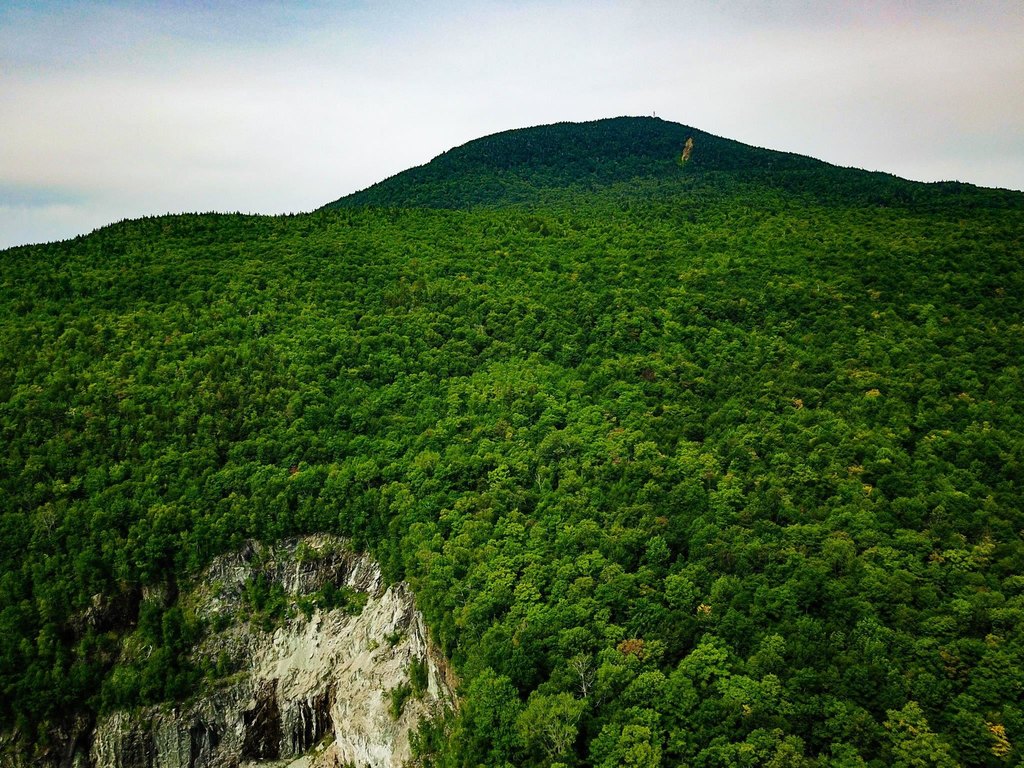
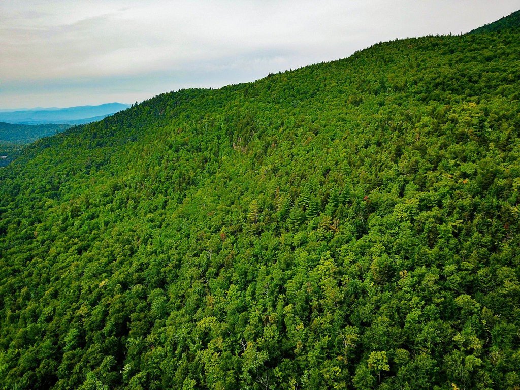
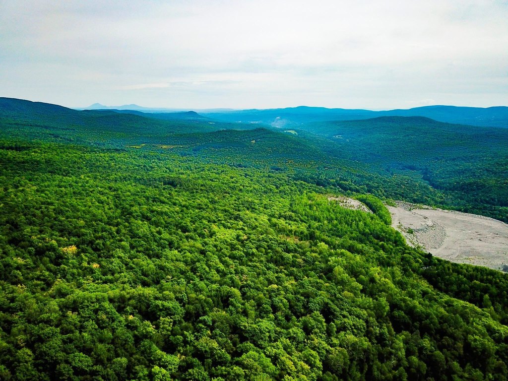
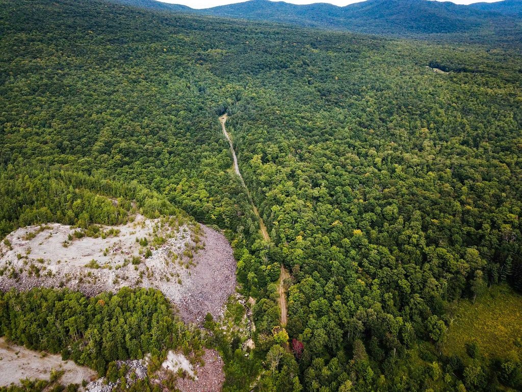
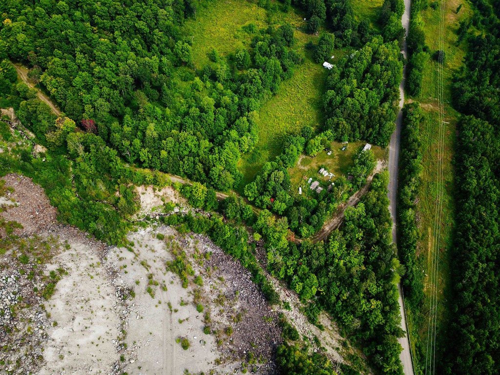
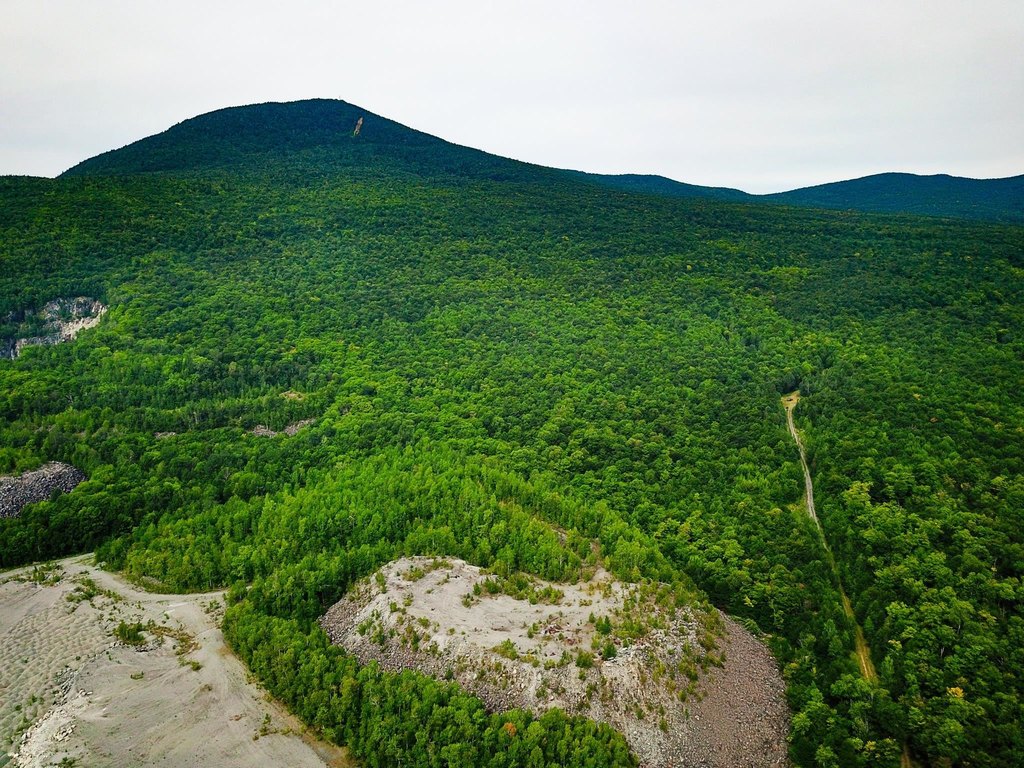
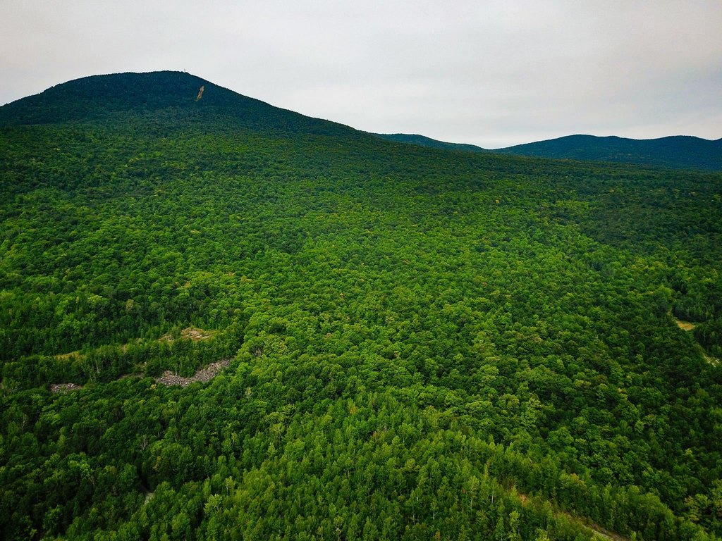
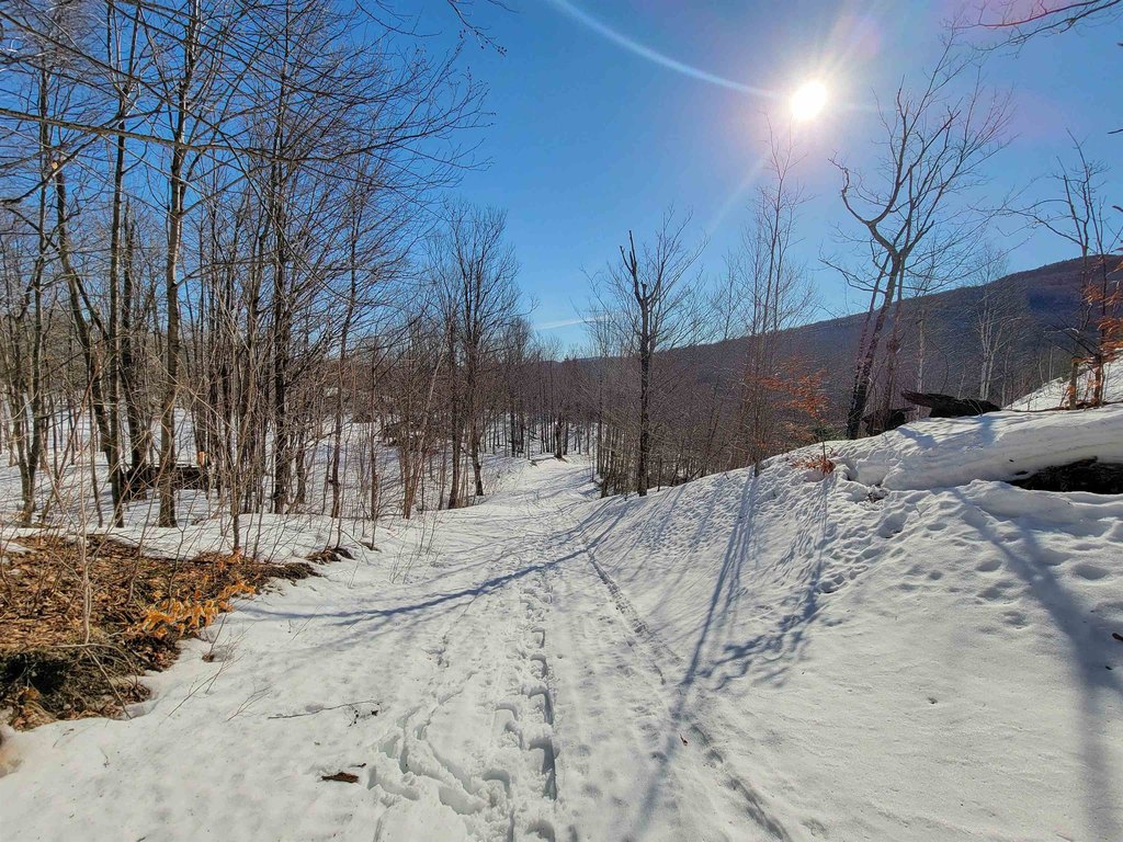
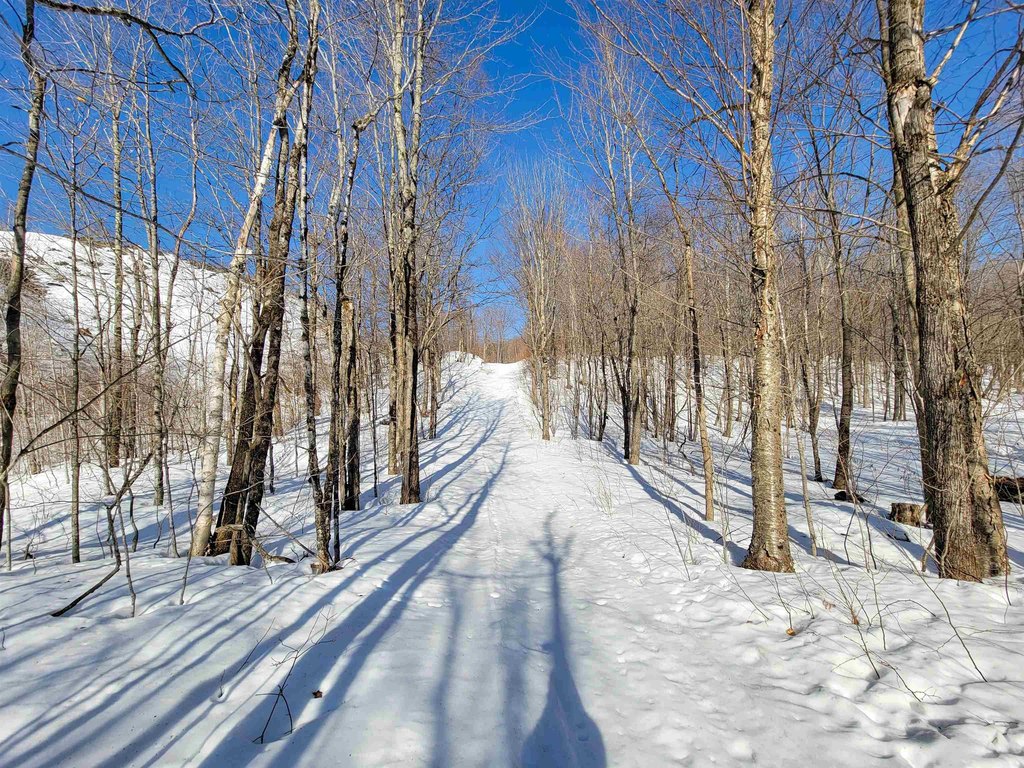
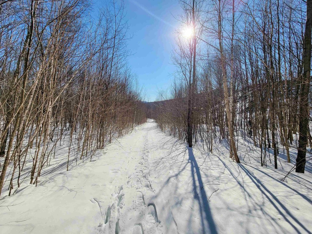
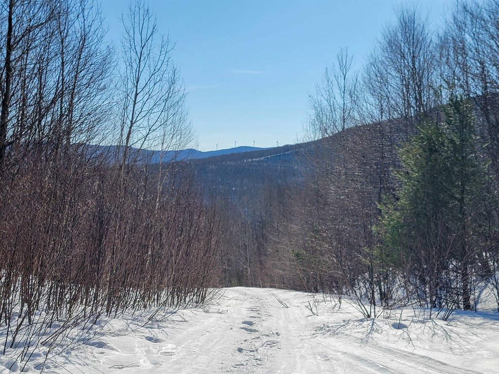
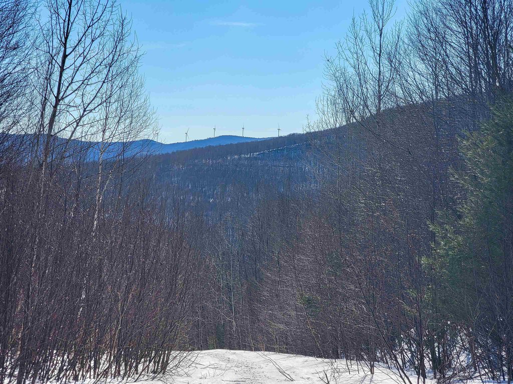
- 372.6 +/- acres recreational property in Lowell, VT, bordered by conserved land near Belvidere Mountain
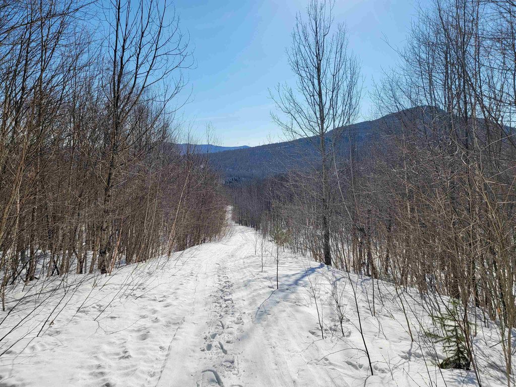
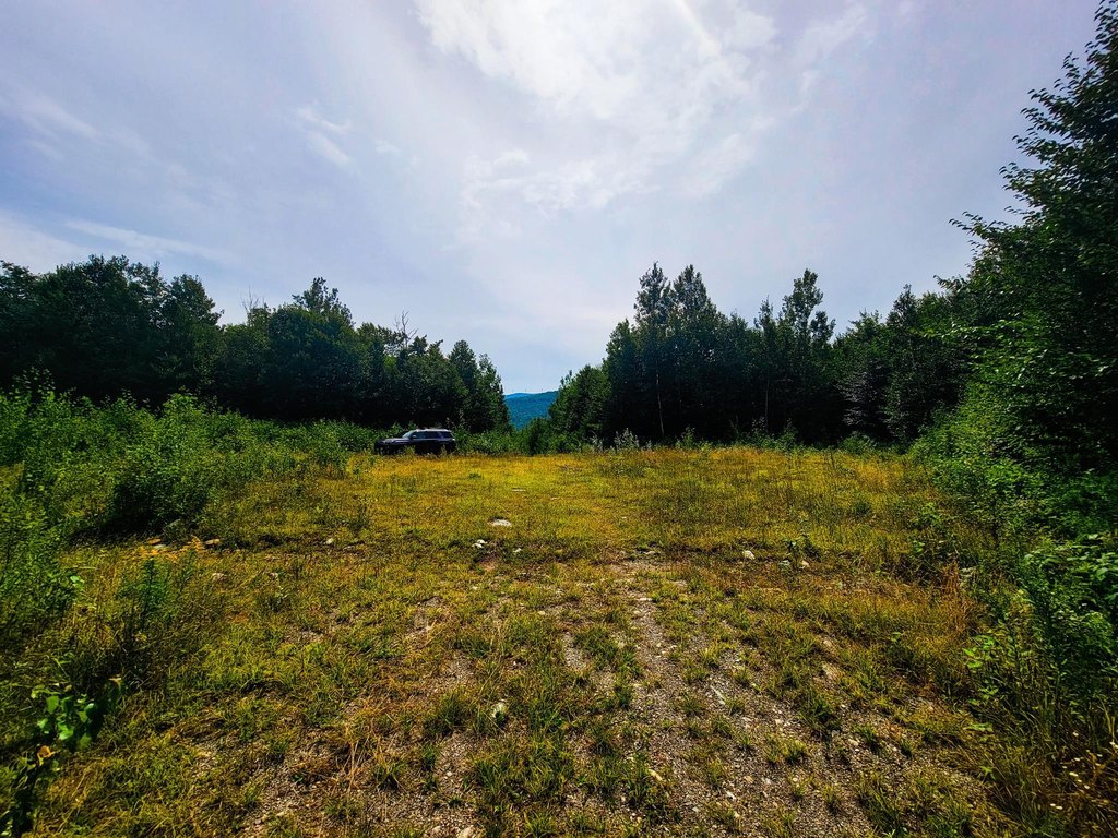
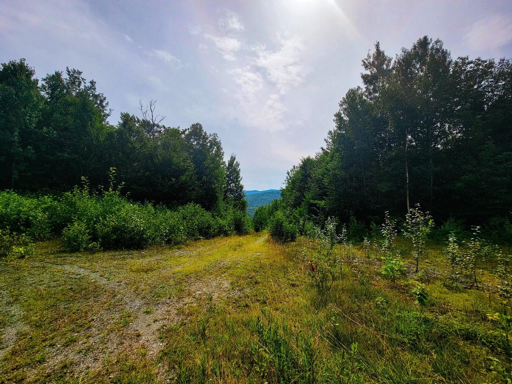
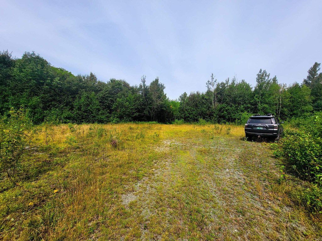
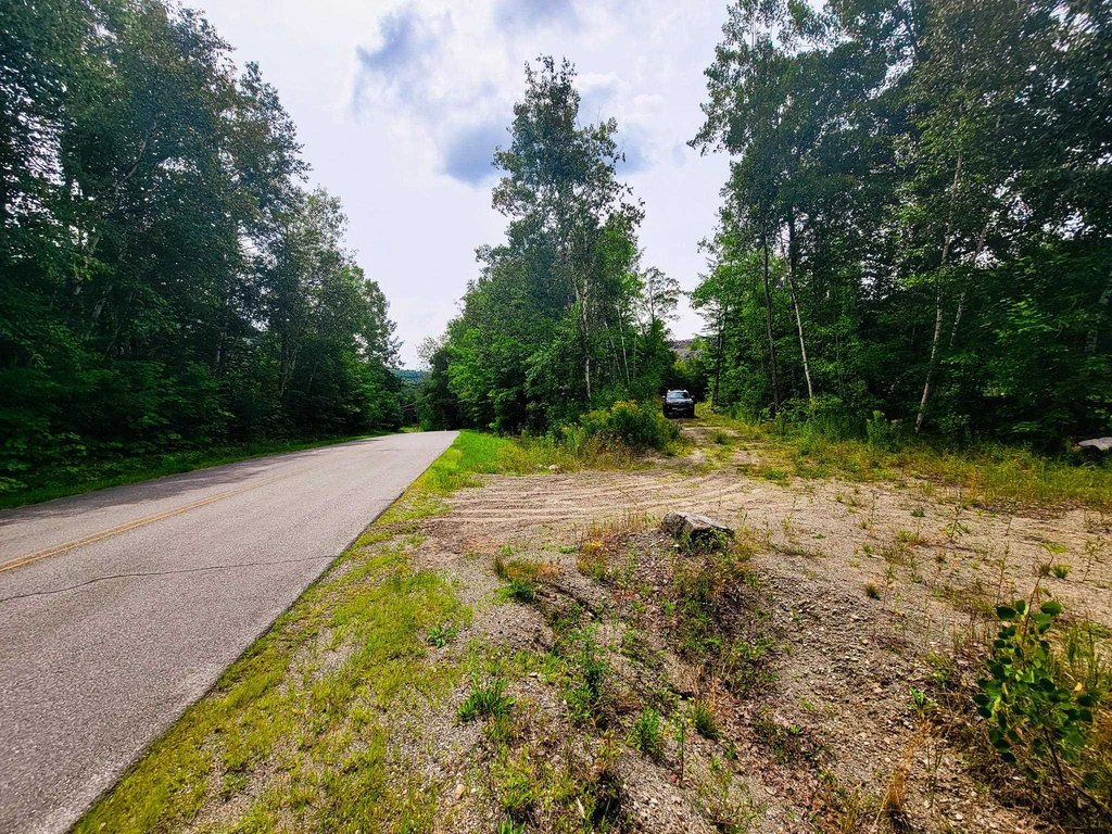
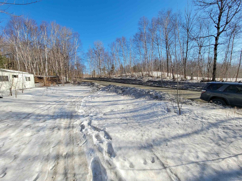
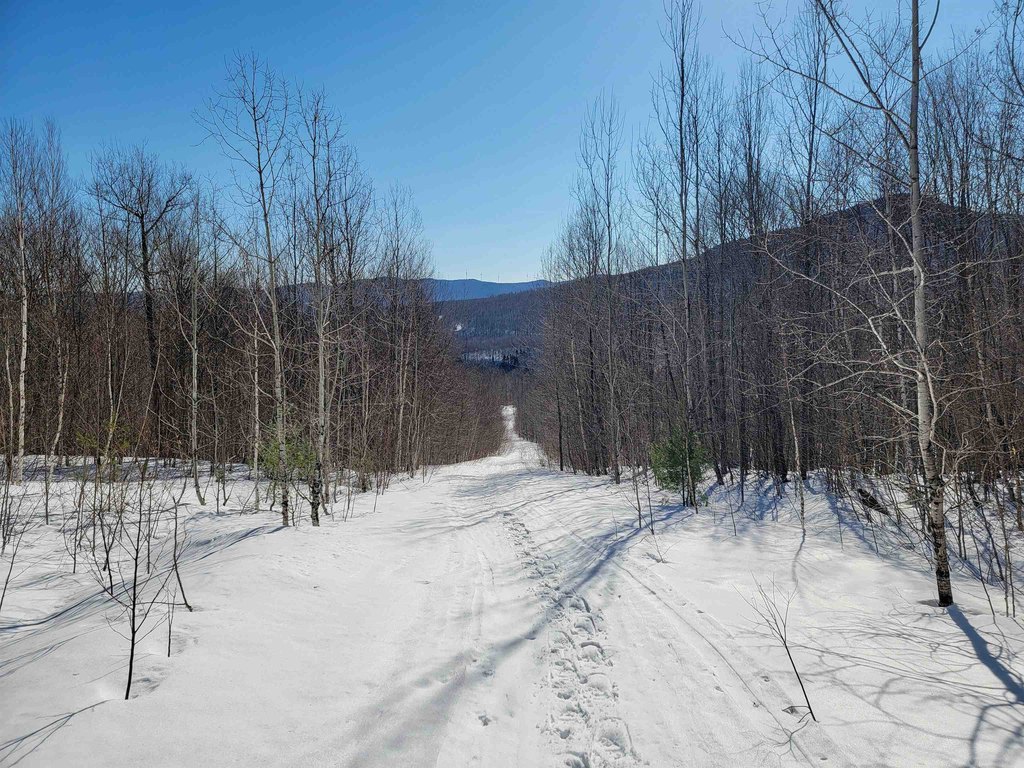
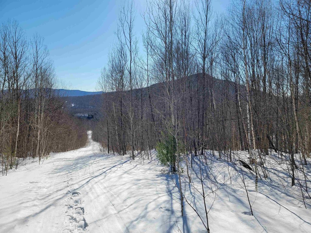
- Half‑mile access road from paved, town‑maintained Mines Road to a private 0.28 +/- acre clearing
- Secured access via a short, deeded right‑of‑way
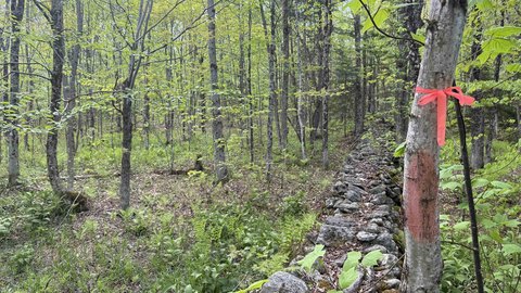
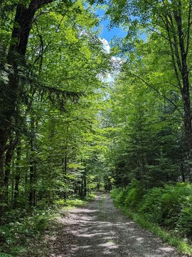
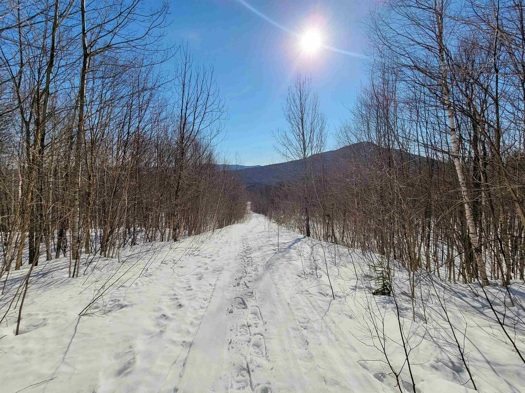
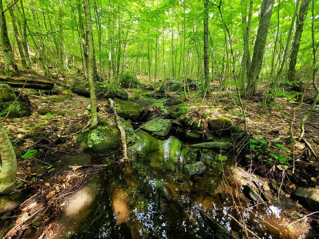
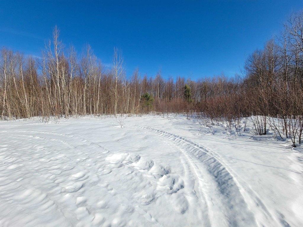
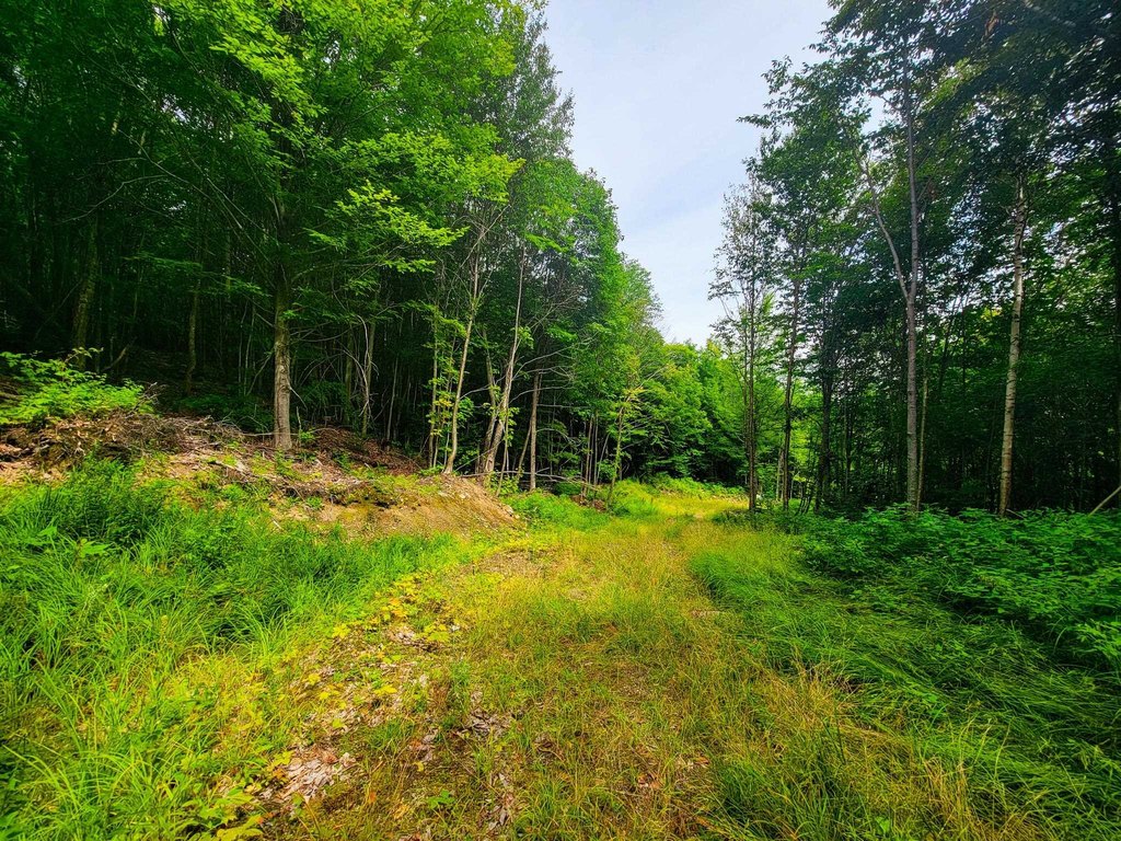
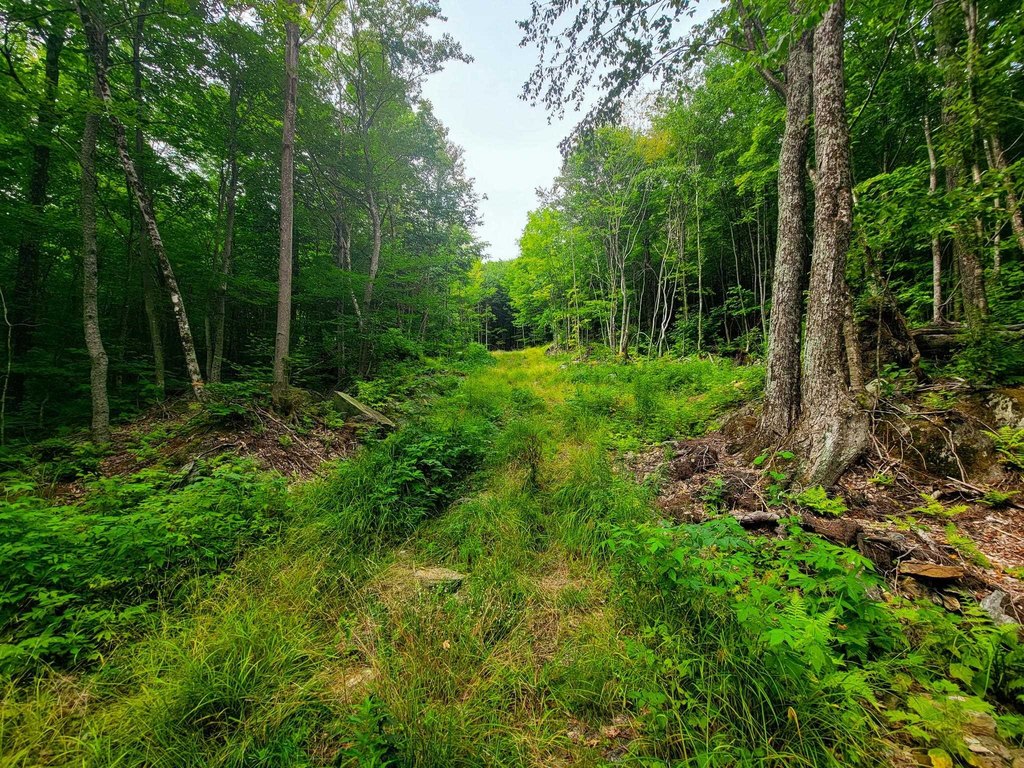
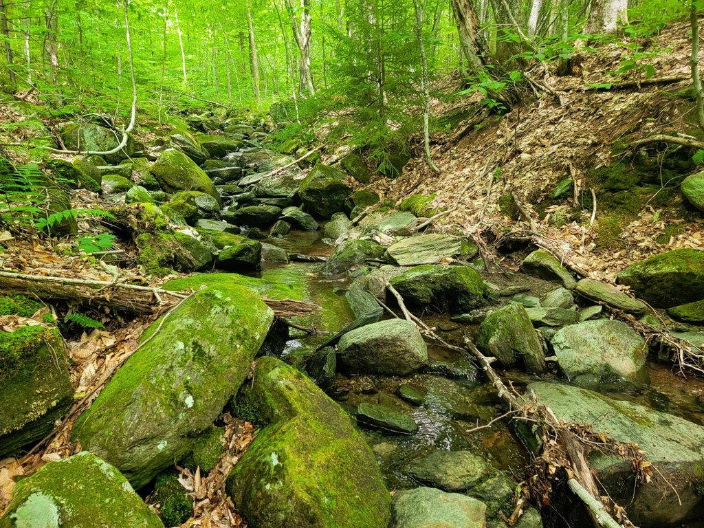
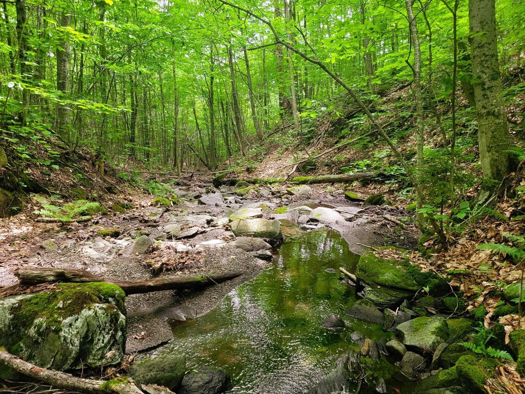
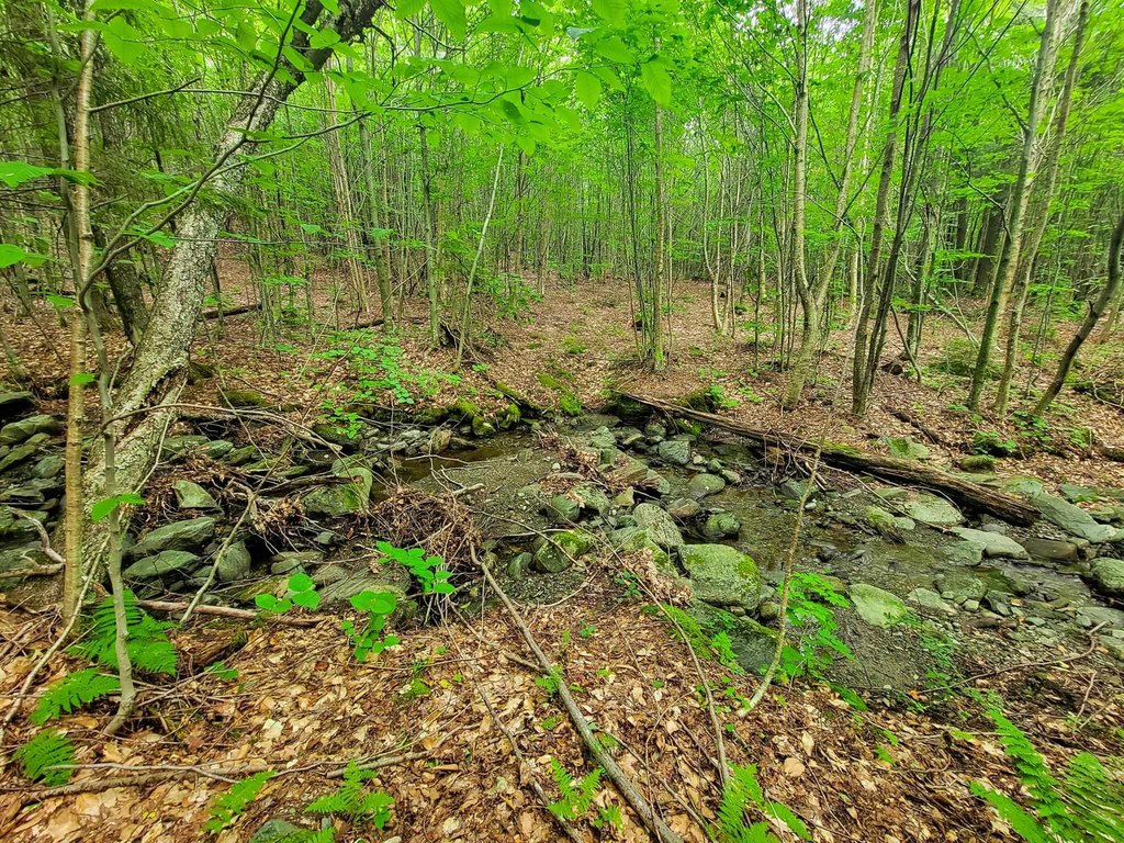
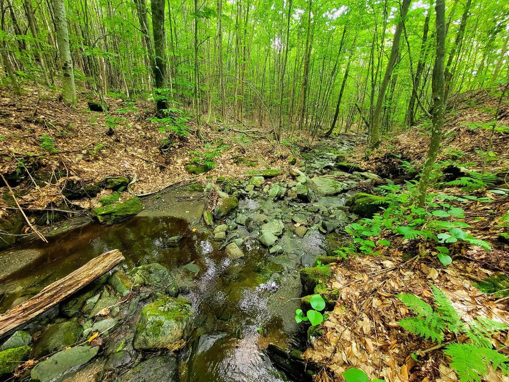
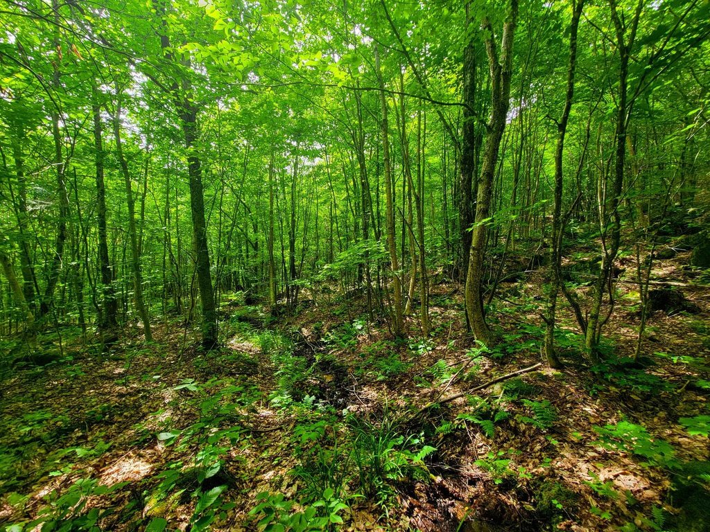
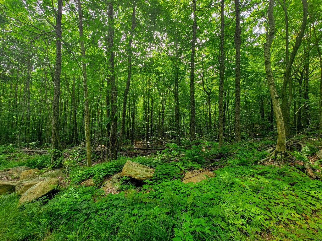
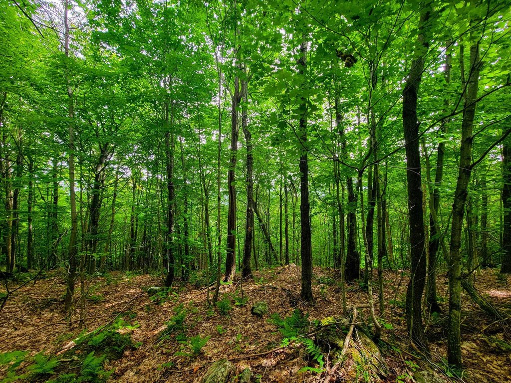
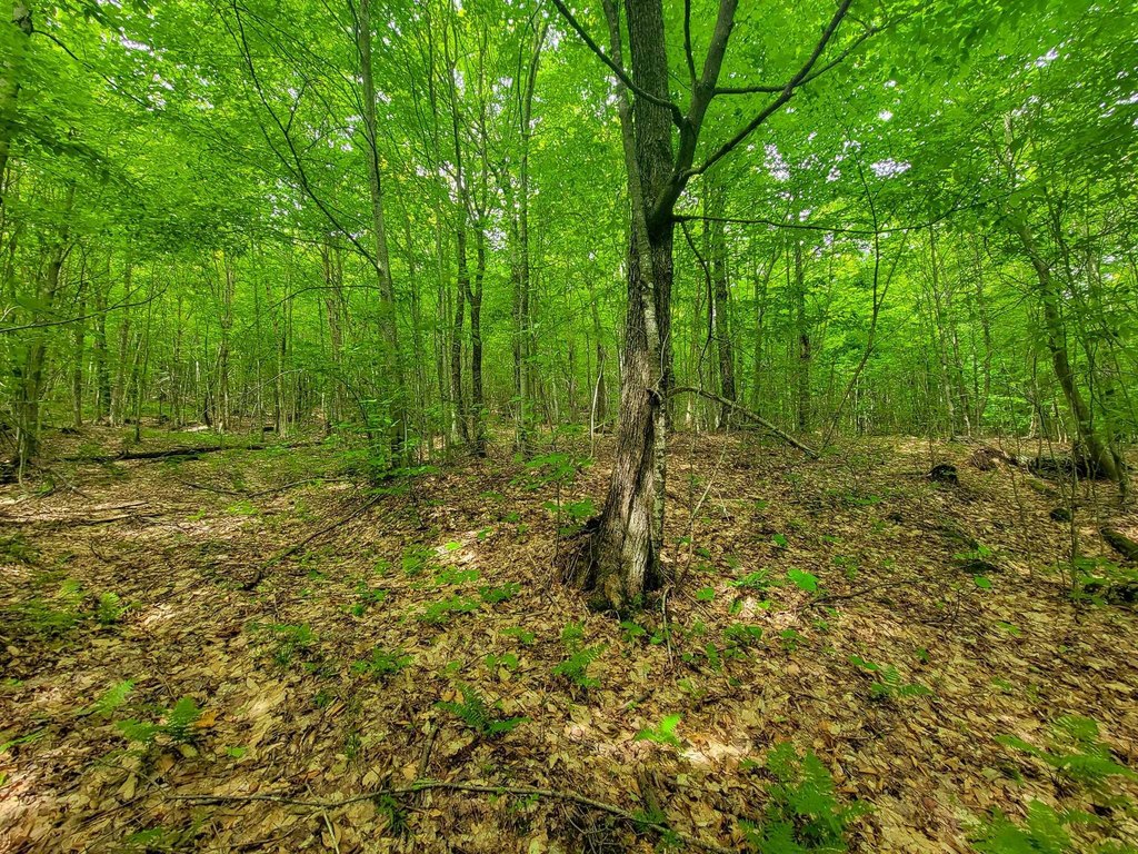
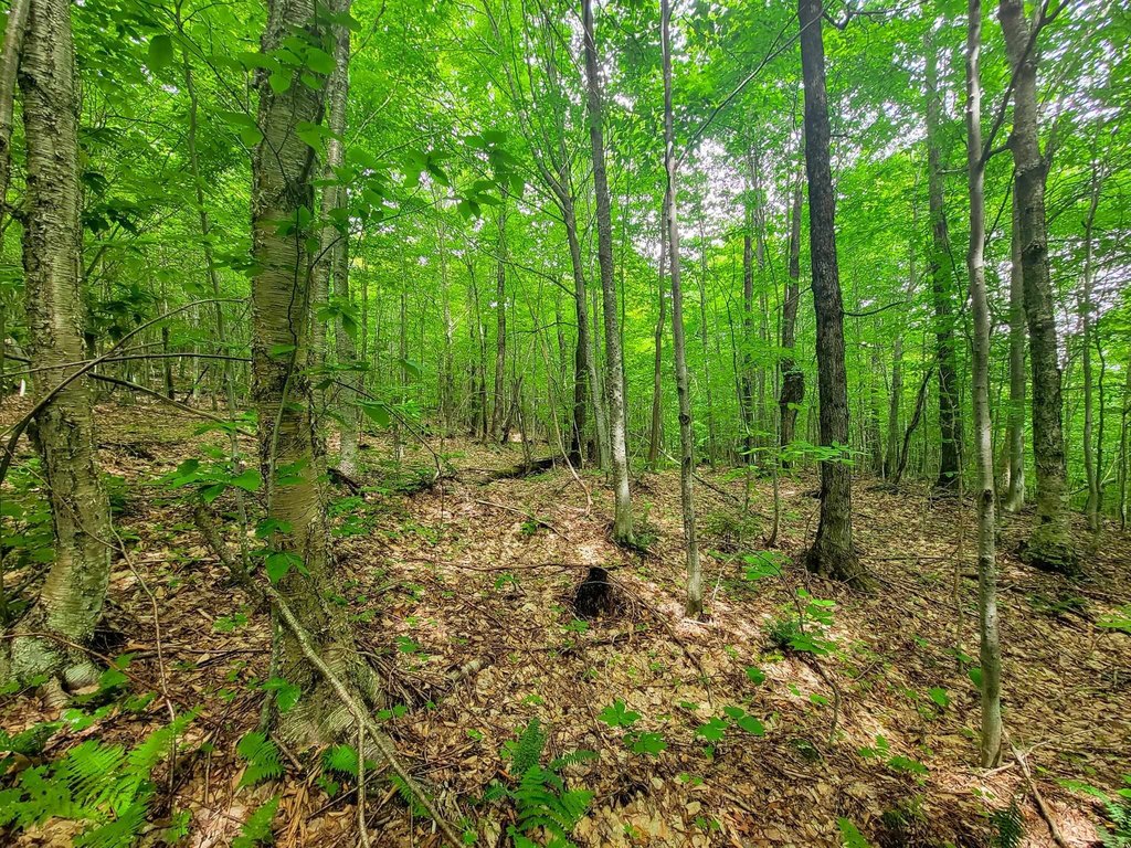
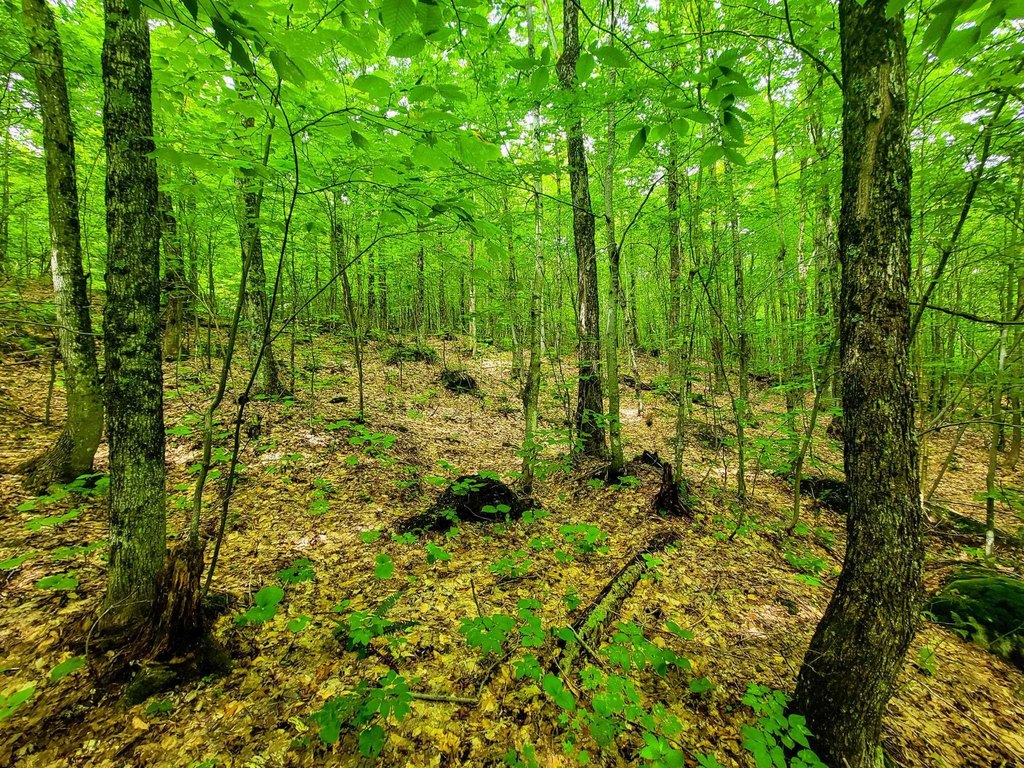
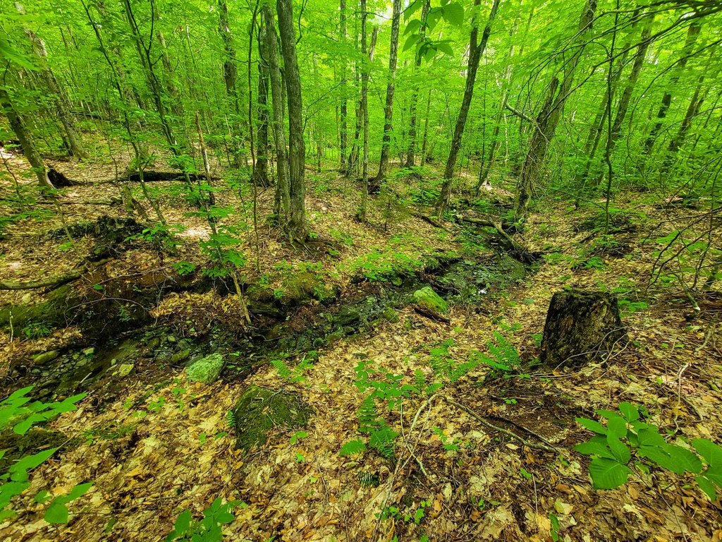
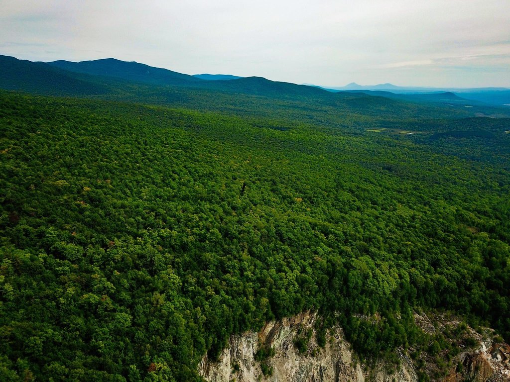
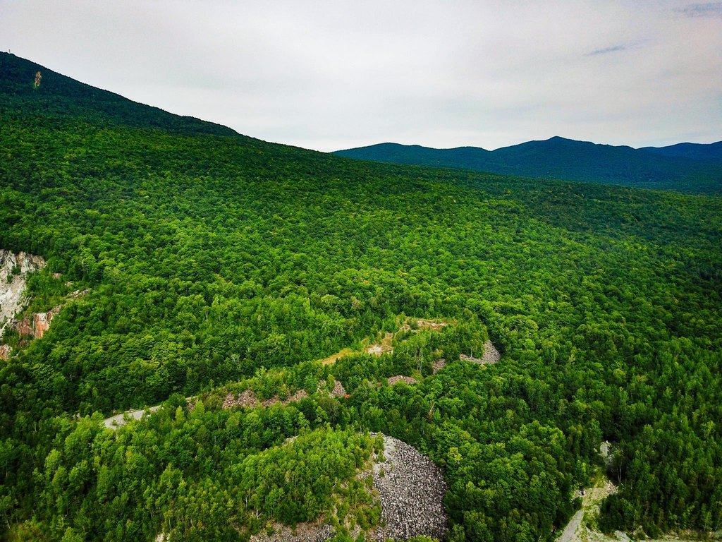
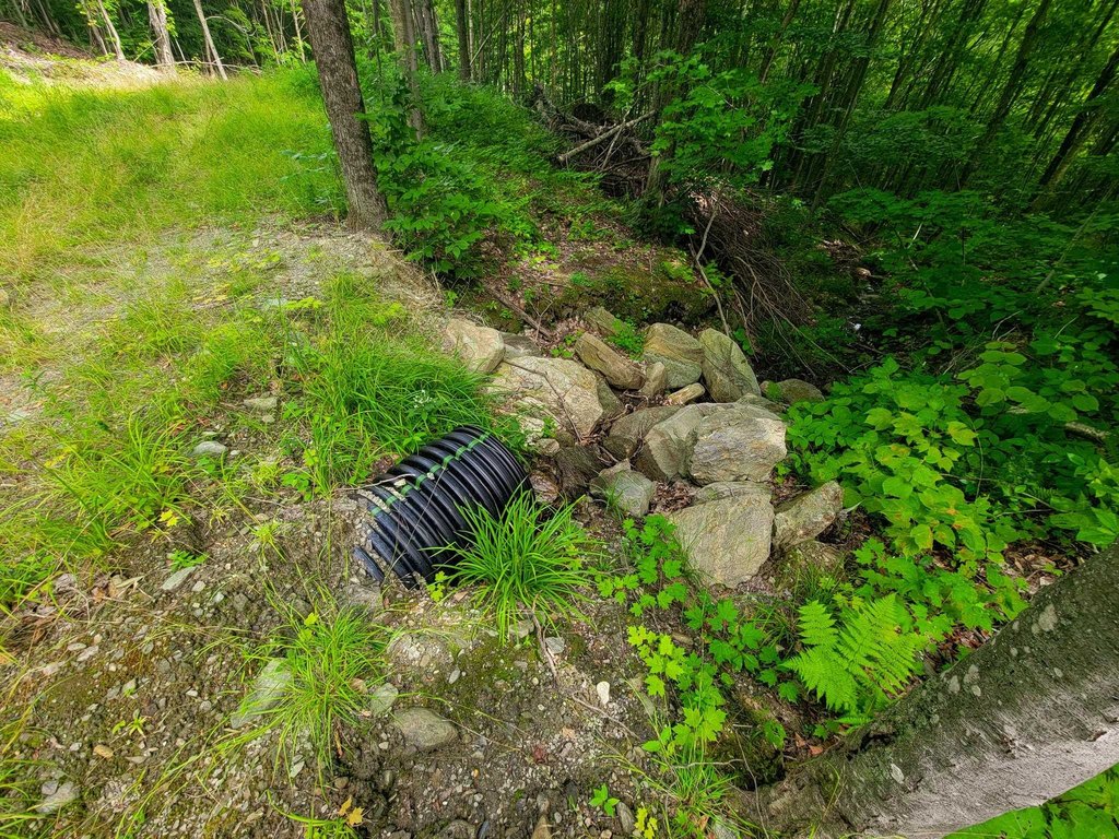
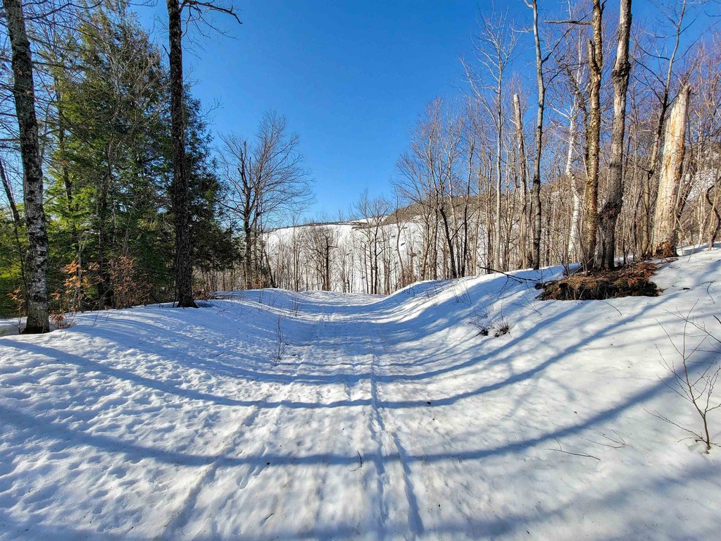
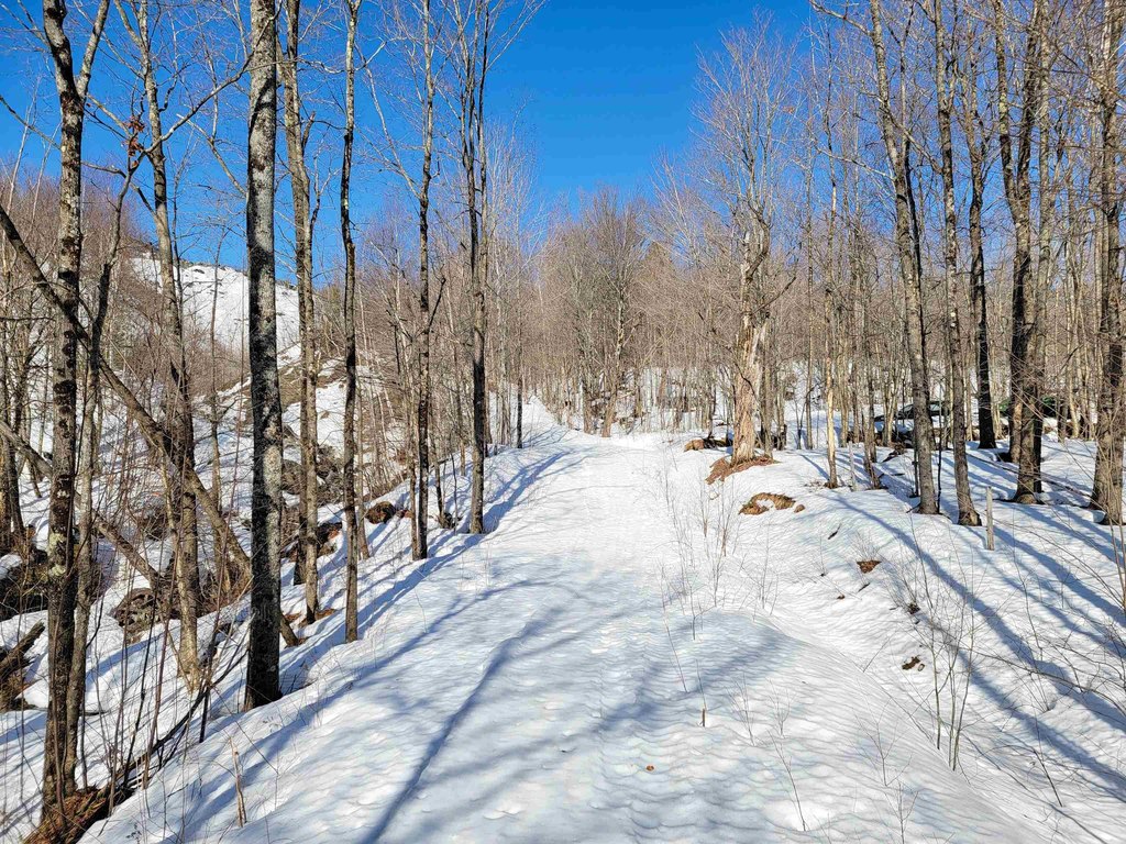
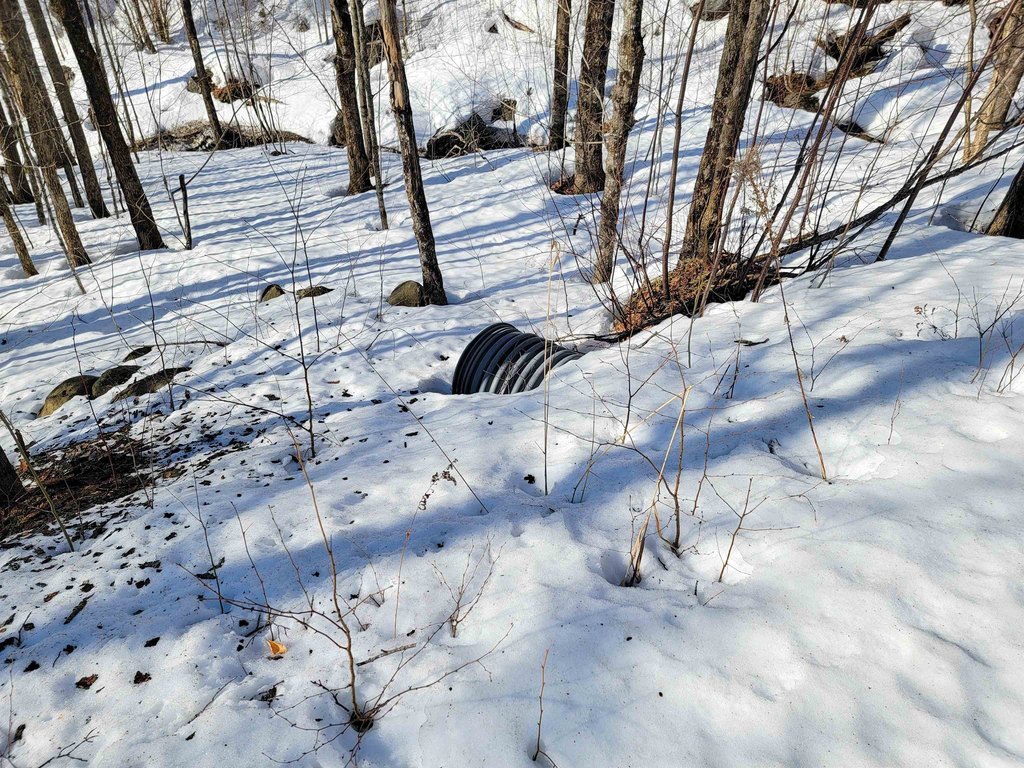
- Year‑round streams, hardwood canopy, and abundant wildlife on gentle to moderate sloping topography
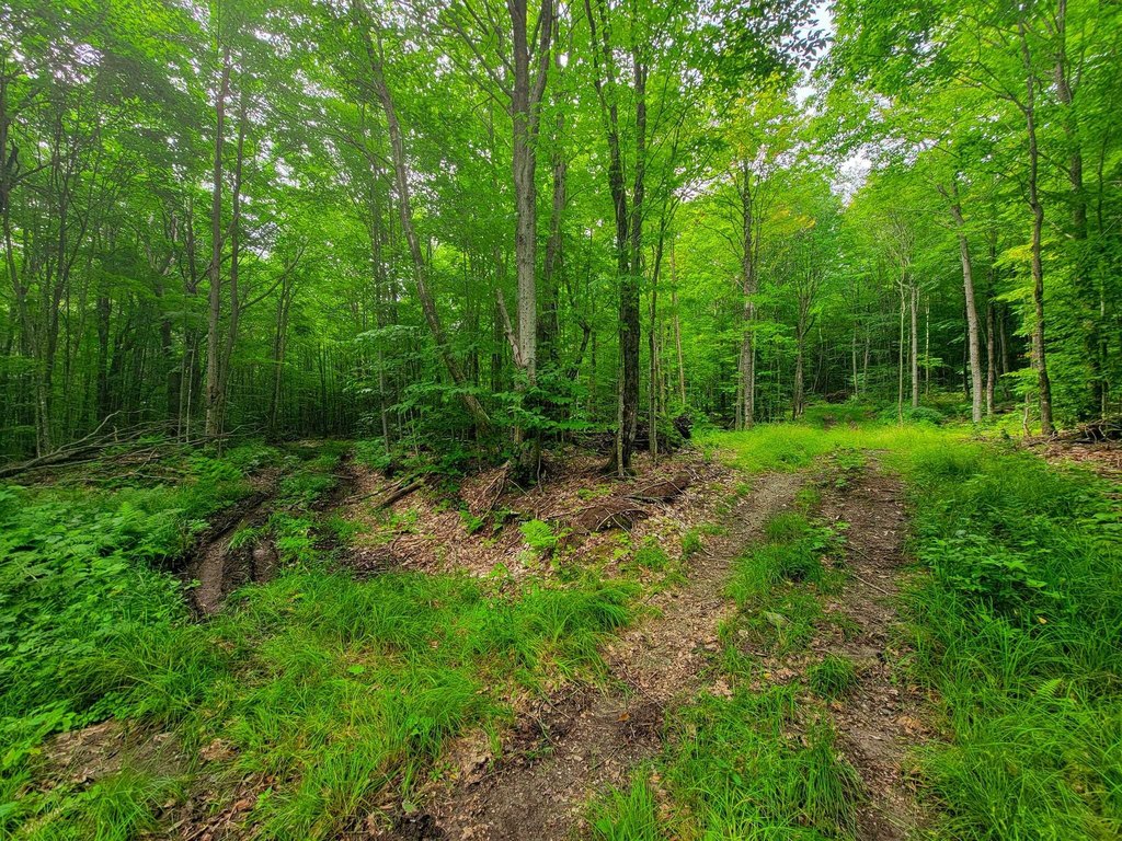
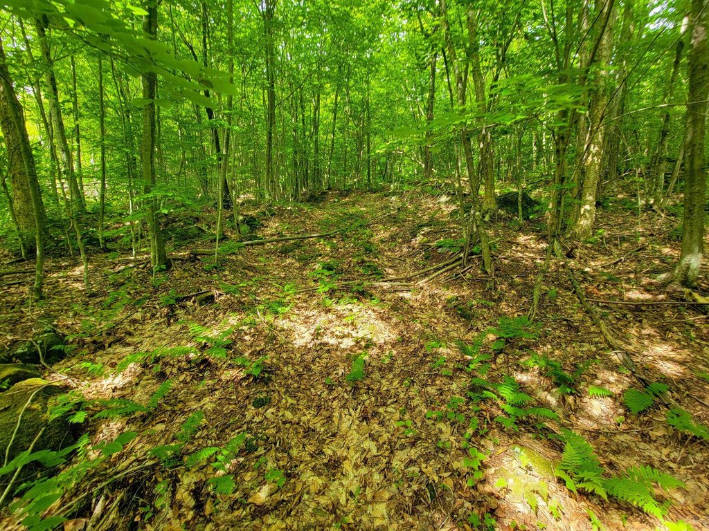
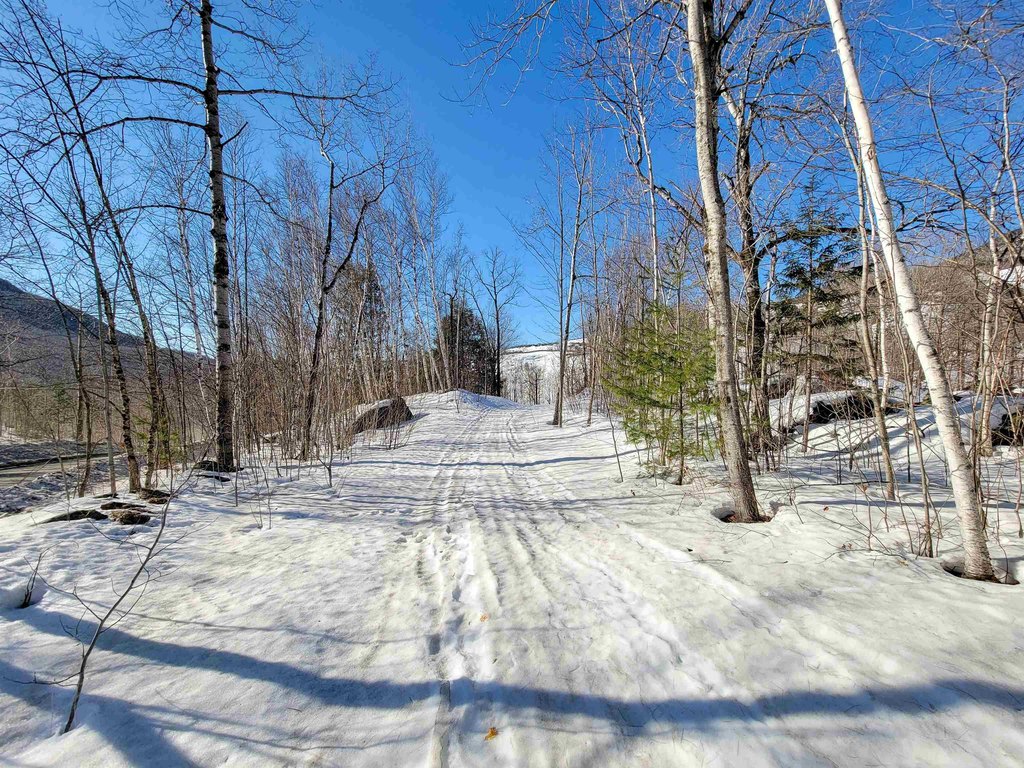
- Old logging network is in place and ready to reclaim into a private trail system
- 1,500 feet from the western boundary: Green Mountain Club Forester’s Trail connects to the Long Trail and Belvidere Mountain fire tower
Overview
The land is located in Lowell, Vermont, and is described as sitting against conserved land near the peak of Belvidere Mountain. The route to the property follows a half-mile access road that is navigable by 4x4 or ATV from a paved, town-maintained Mines Road. The western boundary is approximately 1,500 feet from the Green Mountain Club’s Forester’s Trail connection to the Long Trail and the Belvidere Mountain fire tower. Additional nearby recreation is noted with world-class skiing at Jay Peak Resort just a short drive away. Zoning is listed as Indust, Cons-Mtn & Res-Ag.
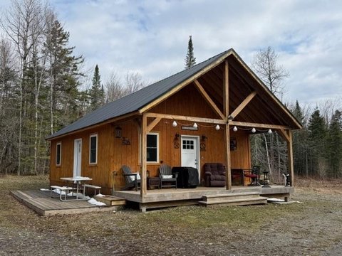
For buyers looking for remote outdoor use, this parcel offers natural year-round features such as streams and wildlife habitat, along with an established interior network for moving through the woods. The clearing and deeded right-of-way support practical planning for a retreat, while the property’s adjacency to a discontinued short-strain asbestos mine is disclosed, with the land described as sloping downward toward the mine and positioned upstream and topographically above the site. Additional documentation is available, and the provided address is for GPS purposes only.
Current Use by Public Records
Map
- City
- Lowell
- County
- Orleans
- State
- Vermont
- Longitude
- -72.5190855
- Latitude
- 44.7733111