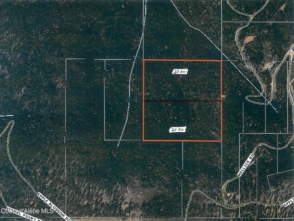
Gated Waterfront Land
NNA Mellick Rd Post Falls, ID 83854

For Sale
$499,900
LAND - Post Falls, ID
Lot Size20.00 Acres
Days on Market331
Property Features for NNA Mellick Rd
General Information
- Property type
- Land
- Property subtype
- Other
- Zoning
- County-RUR
- Parking features
- Open
- Exterior features
- Timber - Part
- Standard status
- Active
- APN
- 50N05W217200A
- Lot size
- 20.00 Acres
Taxes and HOA fees
- Tax Year
- 2025
- Tax Description
- NE-SE Section 21 Township 50N Range 05W
- Tax Annual Amount
- 25
Listing Agency:
Treaty Rock Realty
(208) 773-1745
Listed By:
Kirbi Swanson · License #DB22947
(208) 755-9799
Added: Aug 29, 2025
Changed: Jul 24
Last Checked: Jul 25 at 8:06AM
MLS# 25-8954
Copyright © 2026 Coeur d'Alene Multiple Listing Service. All rights reserved. All information provided by the listing agent/broker is deemed reliable but is not guaranteed and should be independently verified.
Investment Insights
Based on property information with market context.
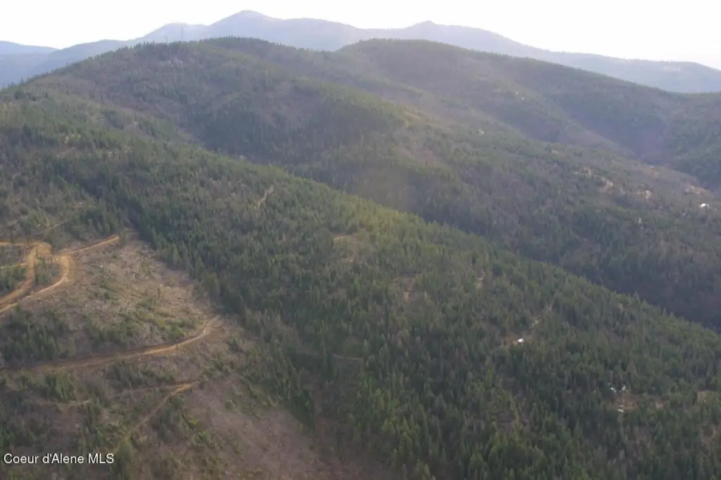
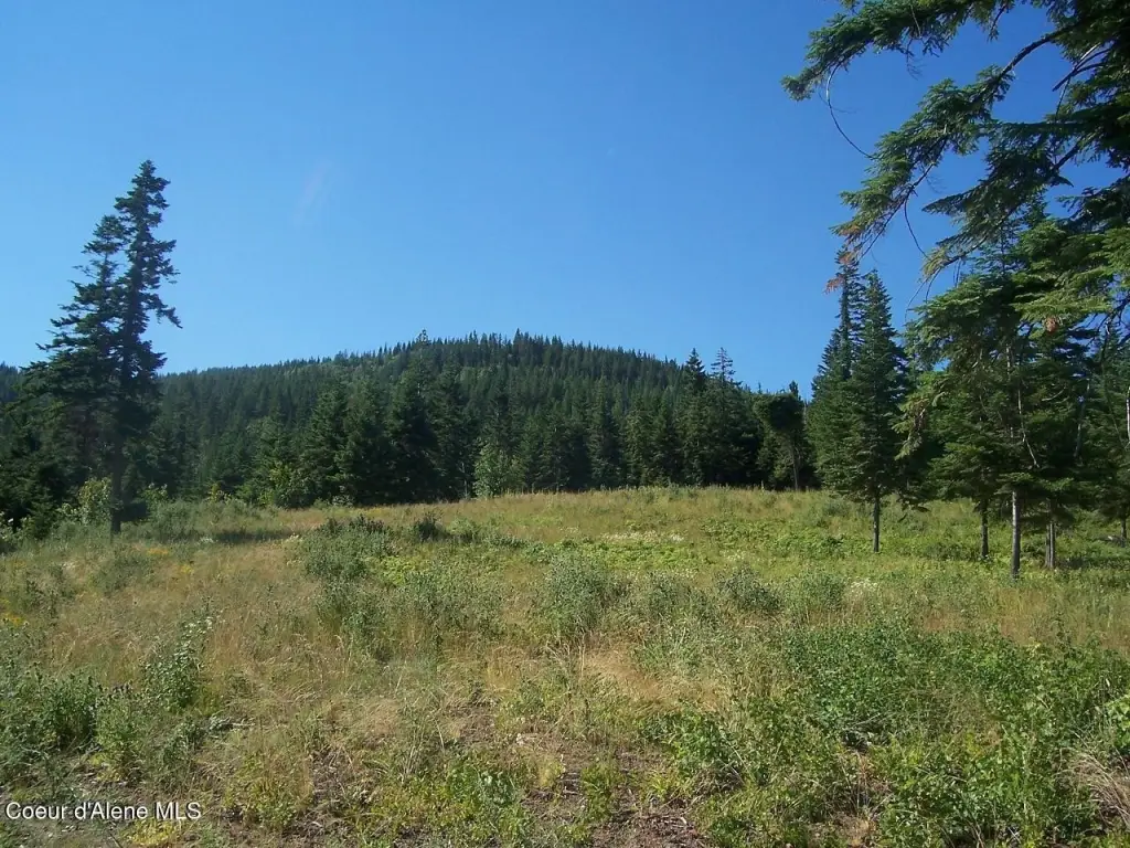
This gated waterfront land parcel offers a private 20-acre setting with existing logging roads and an available home site. The property is part of a larger 40-acre parcel that is expected to be split prior to or at closing, and the parcel may be split possibly into 5-acre parcels.
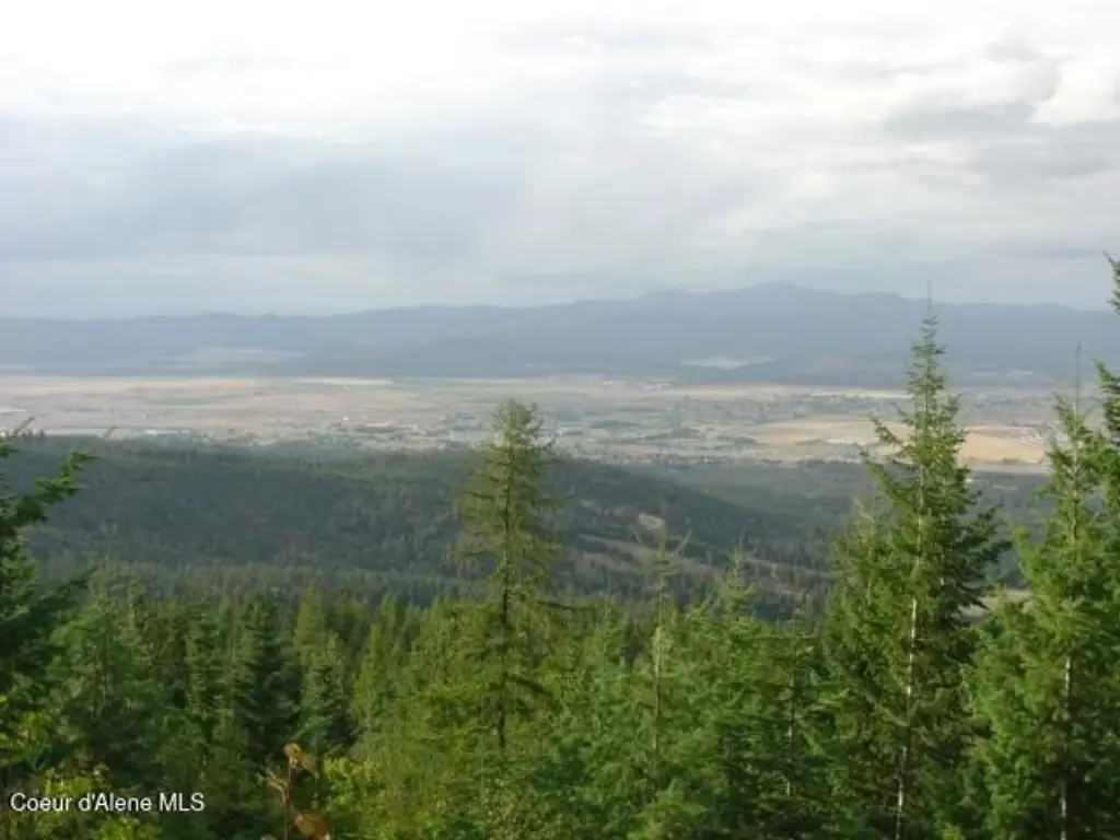
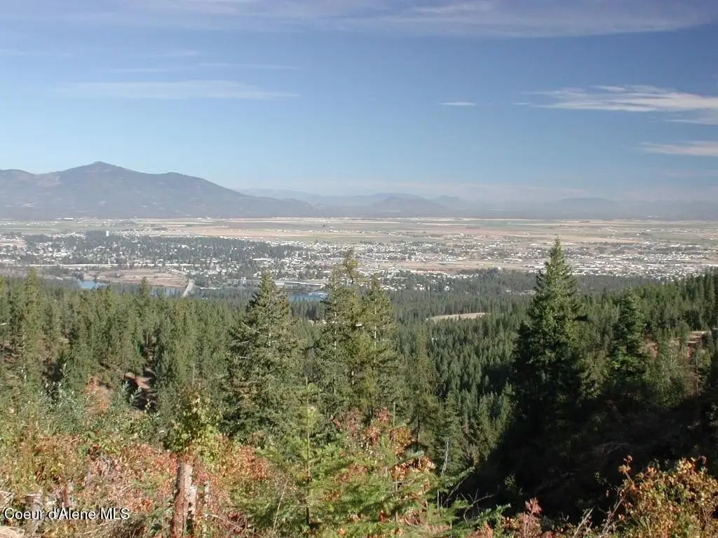
The site is described as providing views of the Spokane River, Post Falls, Coeur d'Alene, and the Rathdrum Prairie. Public remarks indicate there are no CC&R’s and no HOA’s, and that a road maintenance agreement is in place for all owners.
The listing also notes proximity to Stimson Lumber Co. and Idaho Department of Lands property.
Key Highlights
- Private gated 20‑acre parcel with potential to be split into 5‑acre parcels
- Parcel is part of a larger 40‑acre tract to be split prior or at closing
- Existing logging roads on the property
Property Analytics
Location Intelligence
Current Use by Public Records
Residential land & home ...


FAQs
What type of property is this?
Residential land & home lot - Private 20-acre waterfront parcel with existing logging roads, split potential, and a designated road maintenance agreement.
Where is this residential land & home lot located?
The property is located at NNA Mellick Rd Post Falls, ID.
What is the asking price?
The asking price for this property is $499,900.
What are key features of this property?
This property features: Private gated 20‑acre parcel with potential to be split into 5‑acre parcels; Parcel is part of a larger 40‑acre tract to be split prior or at closing; Existing logging roads on the property


