Recreational Waterfront
For Sale
$279,900
W Fircrest Dr lot 7E, Pine, ID 83647
Land, Pine, ID
Property SizeContact for details
Lot Size14.62 Acres
Days on Market191
Property Features for W Fircrest Dr lot 7E
General Information
Property type
Land
Property subtype
Other
Subdivision
Anderson Ranch
Lot features
10 Acres - 19.9 Acres
Directions
I-84, exit 95, N to US-20 E 32miles to Pine ID, S on Sloan Gulch Rd/Lester Creek Rd, N on Fircrest Ln
Standard status
Active
APN
RP01N09E12007C
Lot size
14.62 Acres
Taxes and HOA fees
Tax Year
2024
Tax Description
TAX 22, SEC 12, T1N R9E
Tax Annual Amount
374
HOA Fee
$450 Annually
Legal Description
TAX 22, SEC 12, T1N R9E
Utilities
Utilities
Electricity Available
Water front
1
Listing Agency:
RE/MAX Advisors · RE/MAX International
(208) 375-9700
Listed By:
Donny Christianson · License #SP57561
(208) 559-5842
Added: Apr 1
Changed: Aug 24
Last Checked: Oct 8 at 1:06AM
MLS# 98980210
Copyright © 2026 Intermountain Multiple Listing Service. All rights reserved. All information provided by the listing agent/broker is deemed reliable but is not guaranteed and should be independently verified.
Investment Insights
Based on property information with market context.
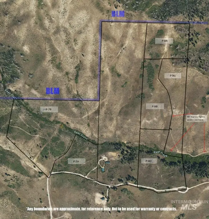
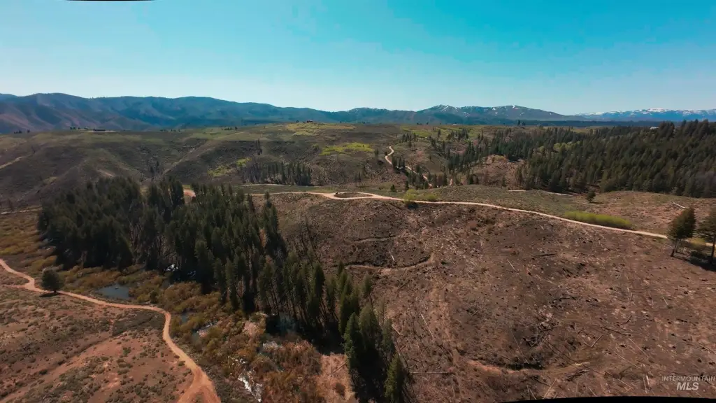
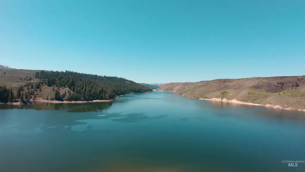
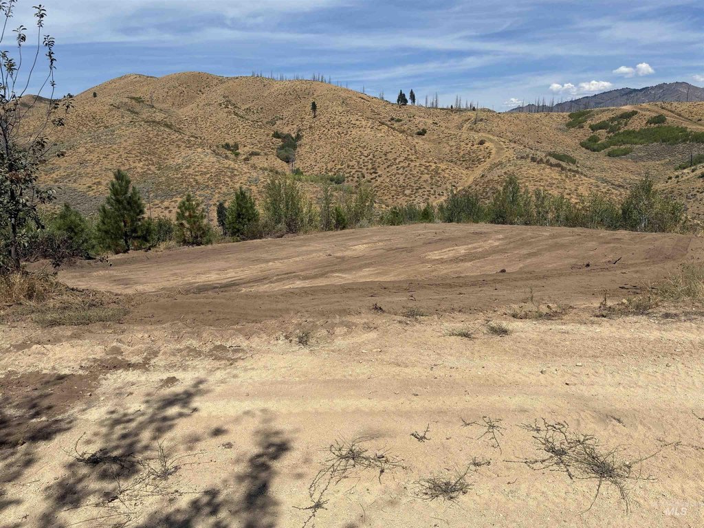
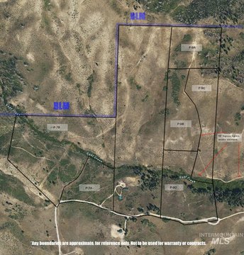
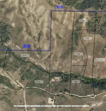
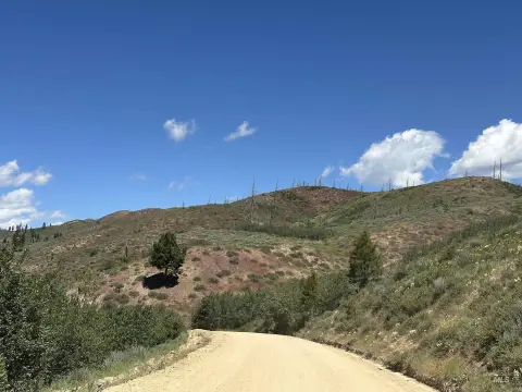
This surveyed recreational waterfront parcel consists of approximately 14.62 acres, with power and water available to the property line. Direct ingress and egress are provided off a public road maintained by the ARB Association, supporting straightforward access for owners and guests. A year-round creek, Goat Creek, runs through the property, adding a natural water feature suitable for outdoor-focused use.
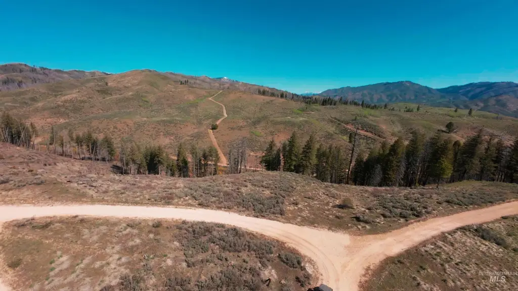
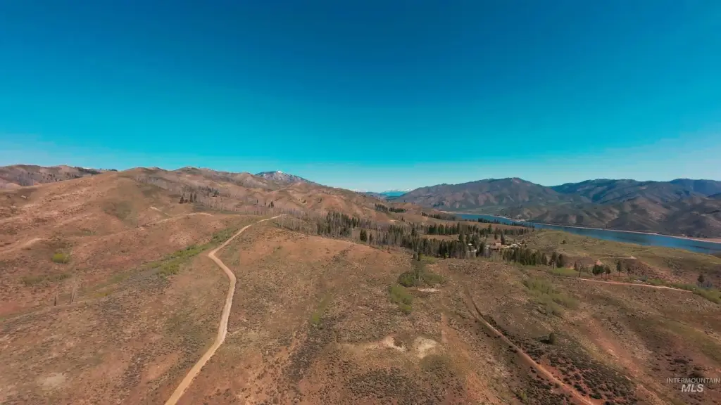
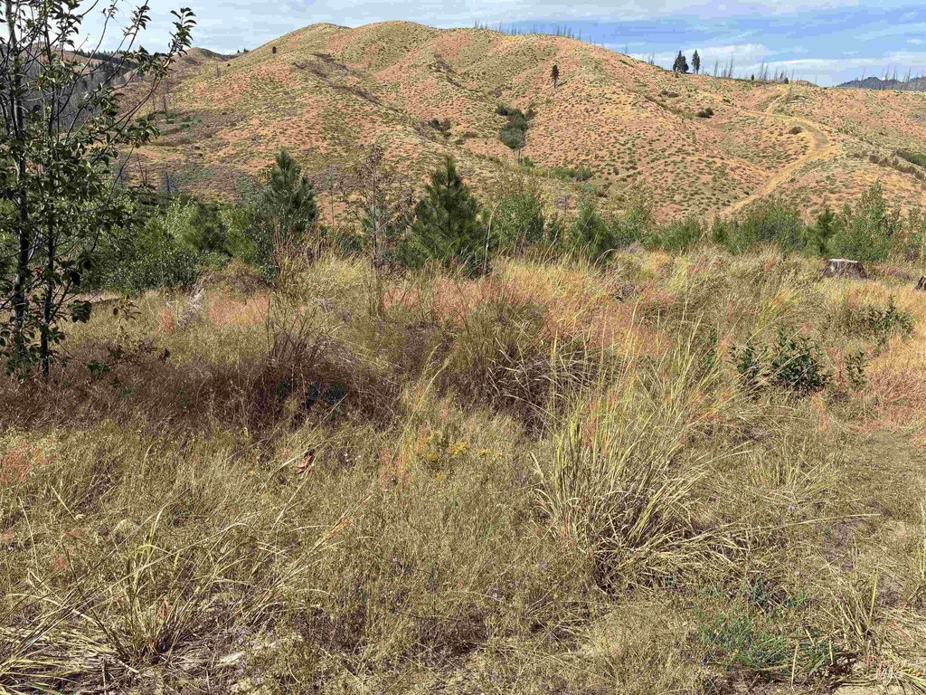
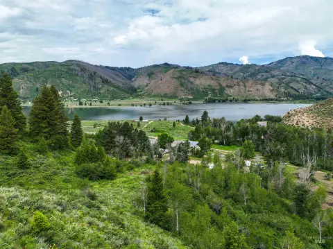
The property is described as being near Anderson Ranch Reservoir, surrounded by forest, and positioned with northern boundaries adjacent to BLM land. The remarks indicate the BLM area includes thousands of acres for hunting and hiking, providing nearby public land for outdoor recreation. The lot is located in the Pine, Idaho area of Elmore County.
For buyers seeking land for a cabin, primary residence, or recreation retreat, the combination of accessible utilities to the line, surveyed status as of Summer 2025, and year-round creek makes it practical for planning and development. The nearby reservoir and access-friendly public road can support activities such as fishing, boating, hiking, and hunting, while the adjacency to BLM land adds additional outdoor options without relying solely on the parcel itself.
The property is described as being near Anderson Ranch Reservoir, surrounded by forest, and positioned with northern boundaries adjacent to BLM land. The remarks indicate the BLM area includes thousands of acres for hunting and hiking, providing nearby public land for outdoor recreation. The lot is located in the Pine, Idaho area of Elmore County.
For buyers seeking land for a cabin, primary residence, or recreation retreat, the combination of accessible utilities to the line, surveyed status as of Summer 2025, and year-round creek makes it practical for planning and development. The nearby reservoir and access-friendly public road can support activities such as fishing, boating, hiking, and hunting, while the adjacency to BLM land adds additional outdoor options without relying solely on the parcel itself.
Key Highlights
- Direct access to thousands of acres of BLM land for hunting and hiking.
- Power and water connections available at the property line.
- Approximately 14.5 acres of land near Anderson Ranch Reservoir.
Property Analytics
Current Use
Lease Details
Yes
Paved road access
Yes
Utilities to site
Location Intelligence
Trade Area within ½ mile
1
Businesses Nearby
Explore this area
Business Placement
Demographics for 83647, ID
22,592
Population
9,695
Households
2.3
Avg Household Size
35
Median Age
21%
College-Educated
87%
High-School Grad
1,504.5 sq mi
ZIP Area
15
Density / Sq Mi
$57,769
Median Household Income
$40,003
Median Earnings
$1,041
Median Rent
$283,600
Median Home Value

Questions? Ask Rey
Realmo’s AI knows this listing — price, zoning, demand, history. Ask anything.
Frequently Asked Questions
What type of property is this?
Recreation land - Recreational and waterfront acreage with year-round Goat Creek and utilities available to the property line.
Where is this recreation land located?
The property is located at W Fircrest Dr lot 7E Pine, ID.
What is the asking price?
The asking price for this property is $279,900.
What are key features of this property?
This property features: Direct access to thousands of acres of BLM land for hunting and hiking.; Power and water connections available at the property line.; Approximately 14.5 acres of land near Anderson Ranch Reservoir.


