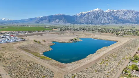
parcels at Pine Nut Creek area, Gardnerville, NV 89410
- Added:
- Jan 30, 2022
- Days on Market:
- 1592
- Last Refresh:
- Jun 10 at 12:06 pm
Property Features for parcels at Pine Nut Creek area
General Information
- Property type
- Land
- Property subtype
- Other
- Zoning
- FR-19
- Standard status
- Active
- APN
- 1122-00-001-009
- Lot size
- 5,161.87 Acres
Taxes and HOA fees
- Tax Annual Amount
- 188
Utilities
- Sewer type
- Septic Needed
- Water source
- Well Needed

Listing agent Mary Cioffi License #BS.14520 (775) 720-8200
Listing office Intero 1362 U.S. Hwy. 395 #112, Gardnerville, NV (775) 783-5330
Listing date Jan 30, 2022
Copyright © 2026 Northern Nevada Regional MLS, Inc. All rights reserved. All information provided by the listing agent/broker is deemed reliable but is not guaranteed and should be independently verified.
HighLights
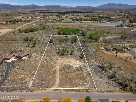
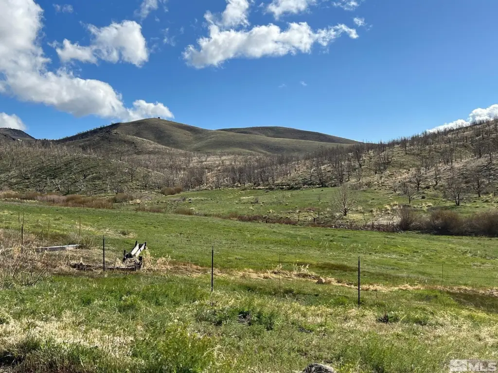
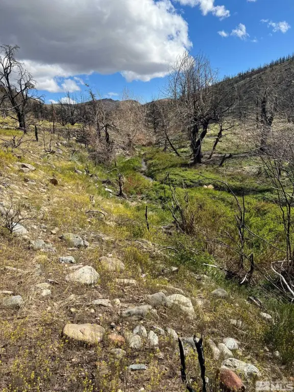
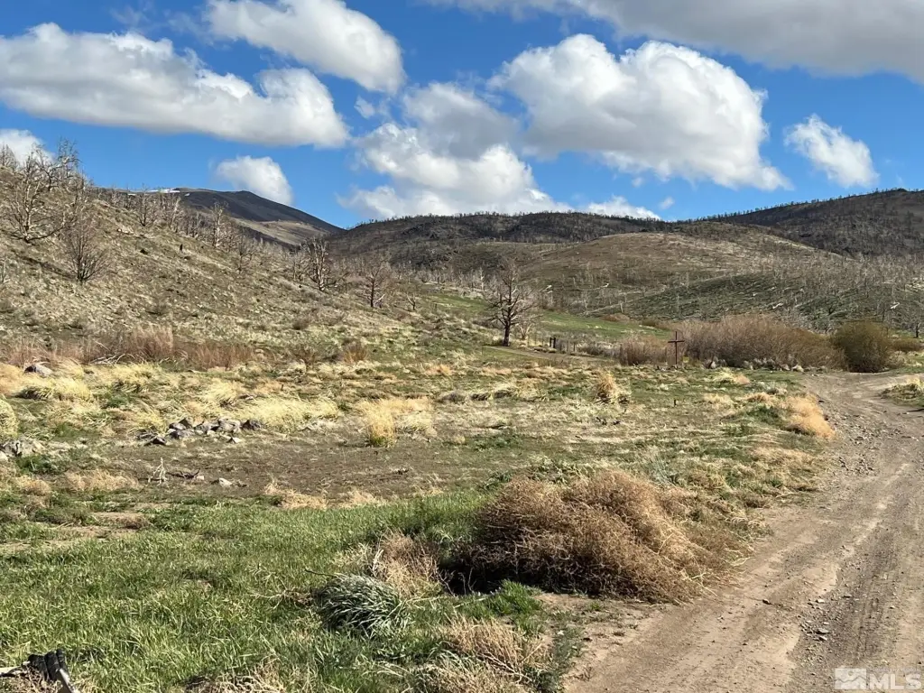
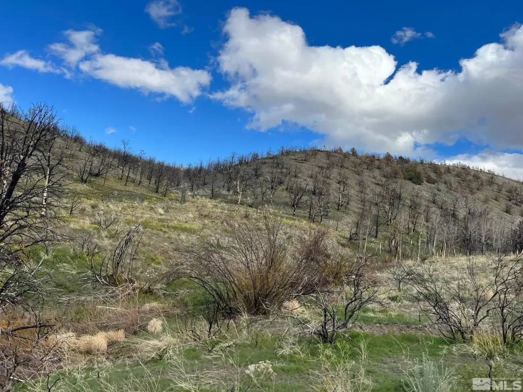
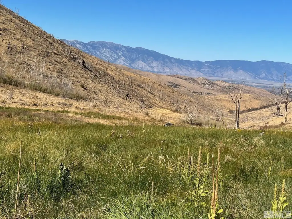
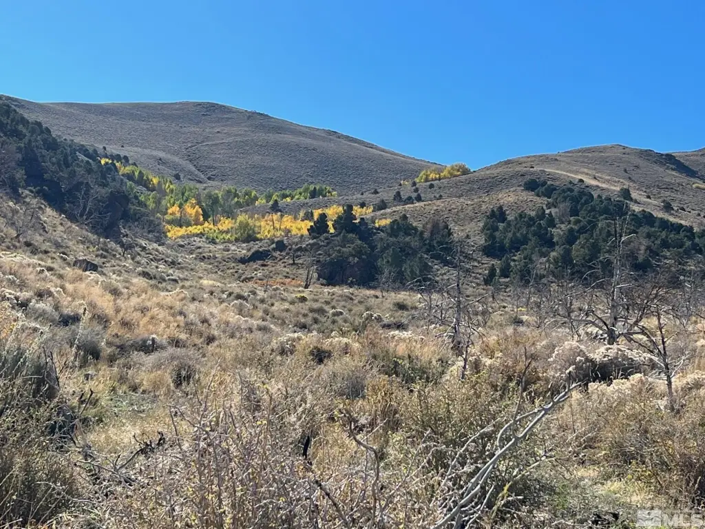
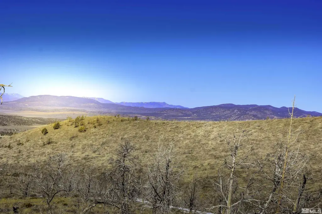
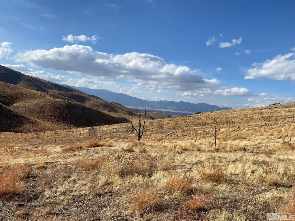
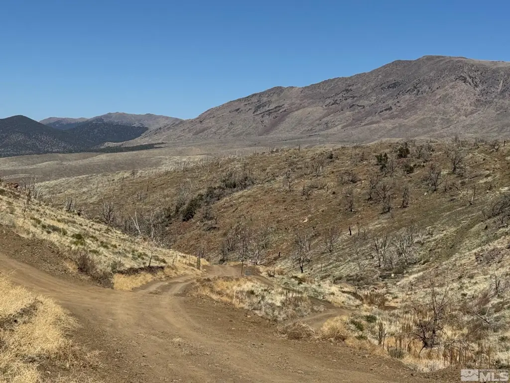
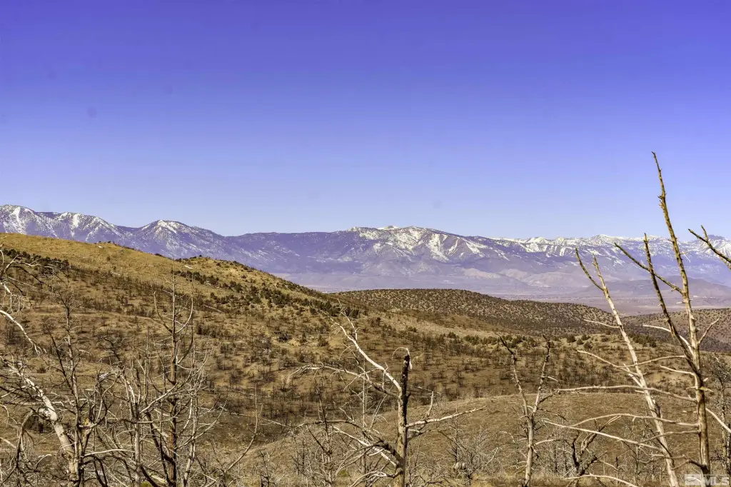
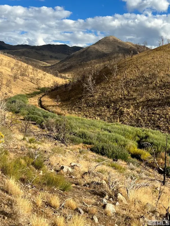
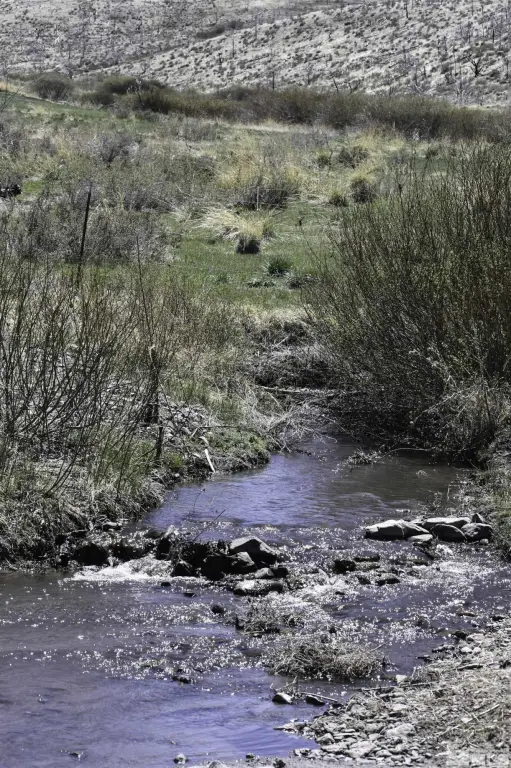
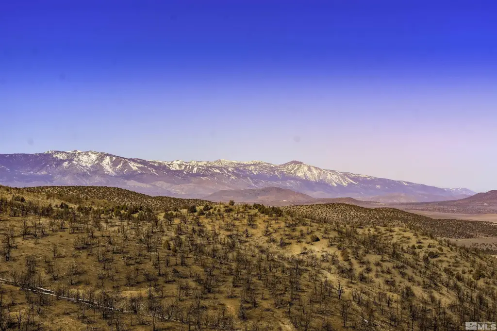
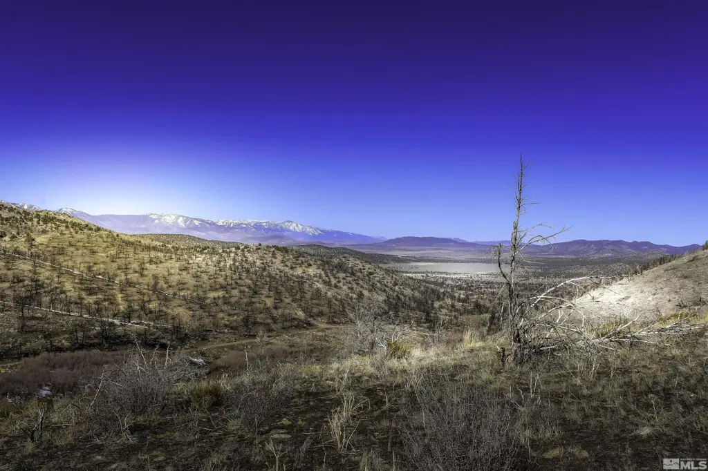
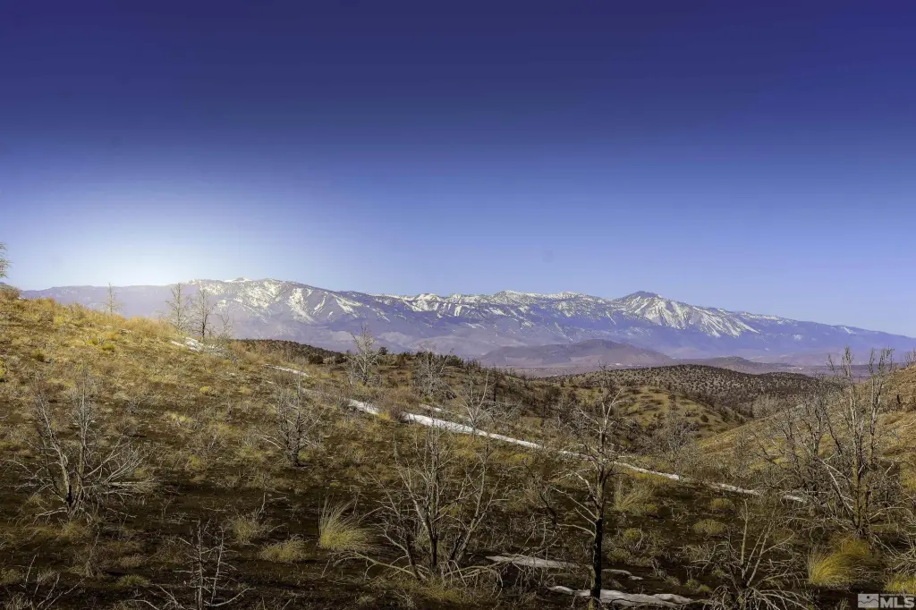
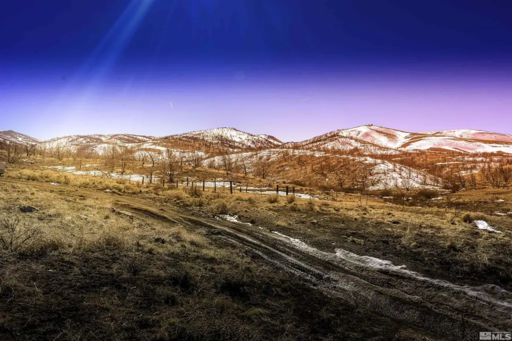
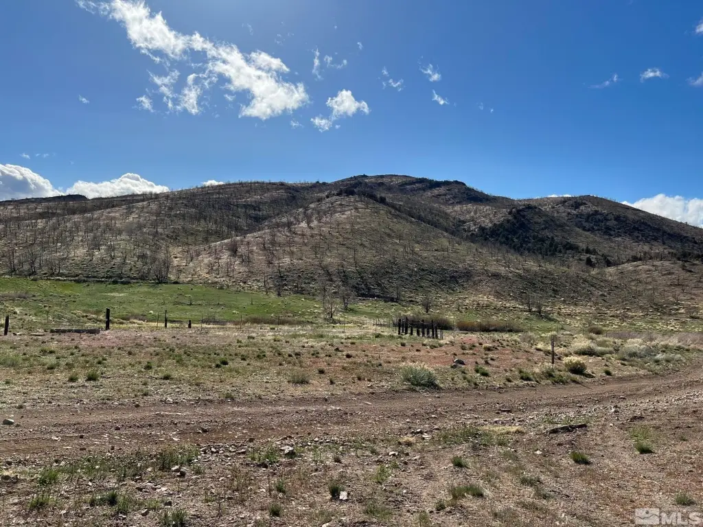
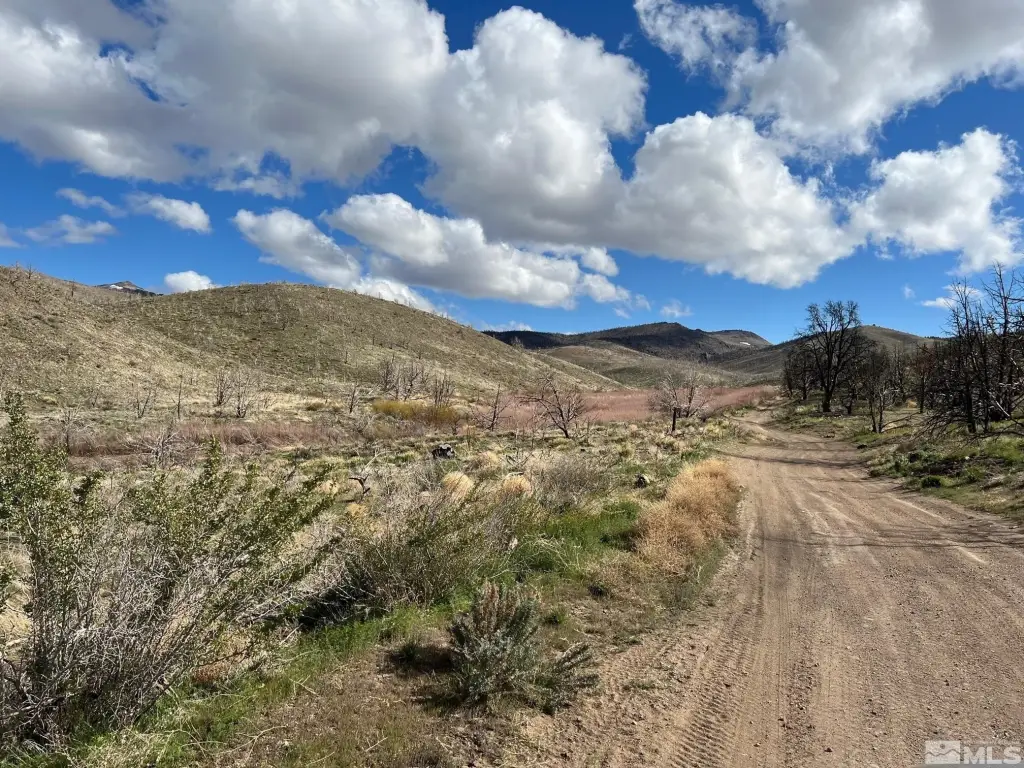
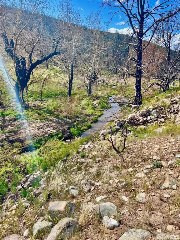
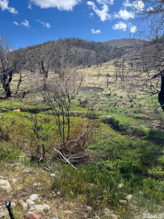
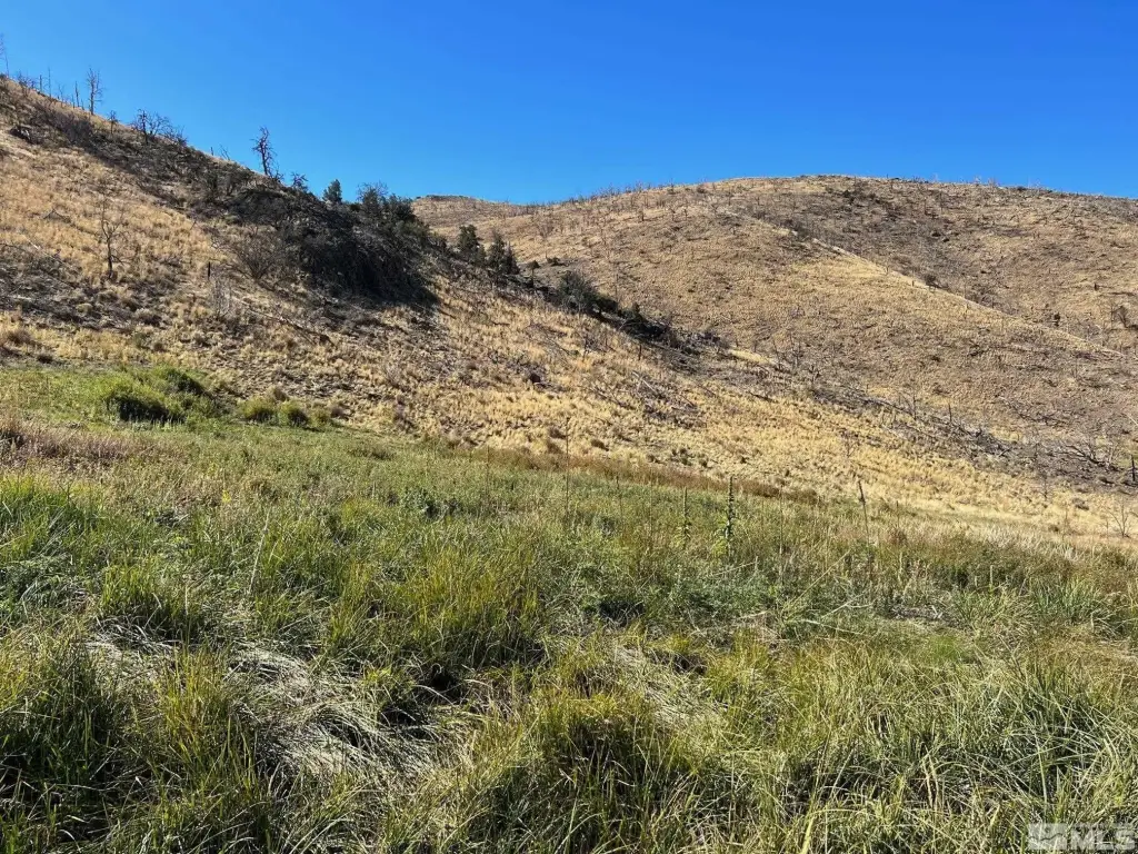
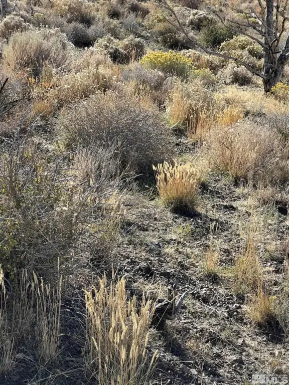
- Large Acreage: 5,161.87 acres, ideal for livestock.
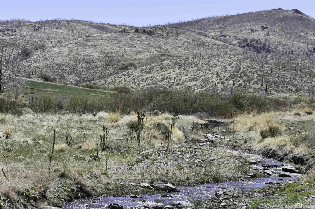
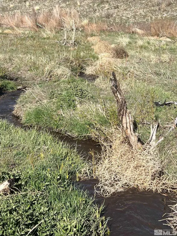
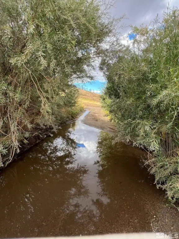
- Water Rights: Includes water rights for stock water and some irrigation.
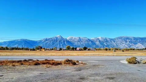
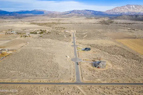
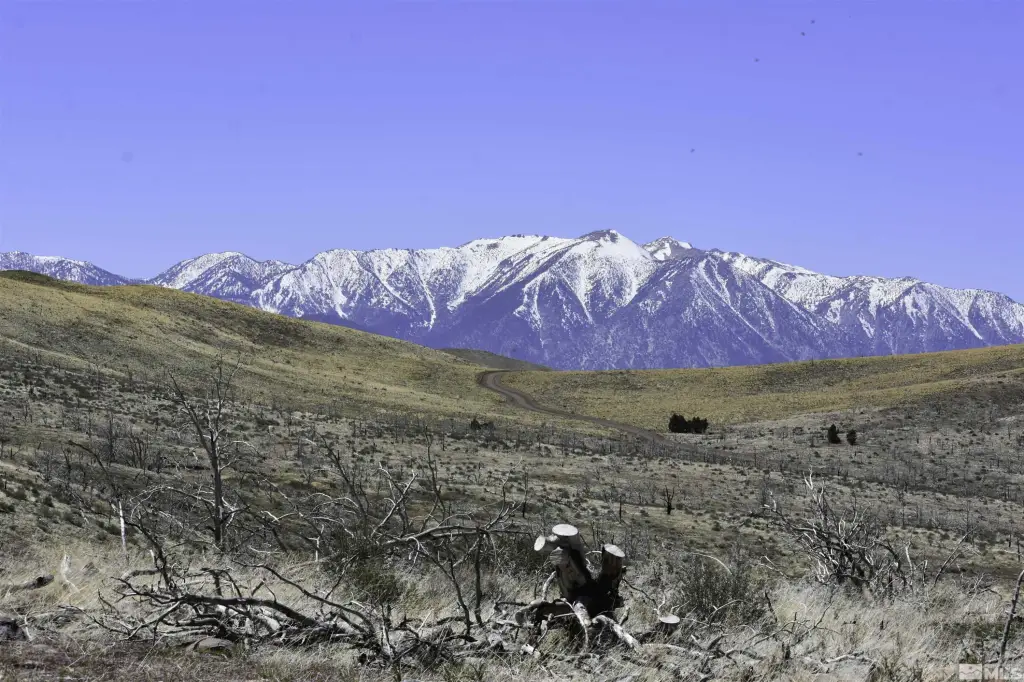
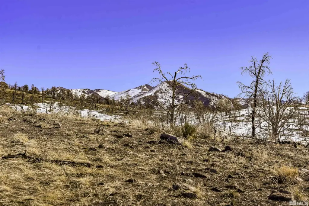
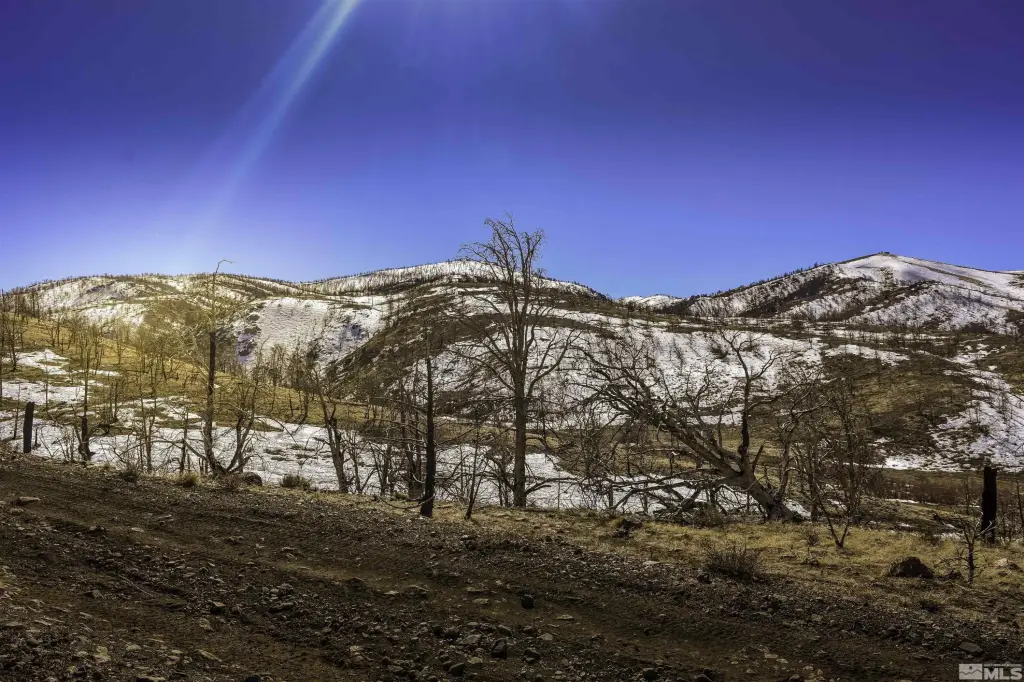
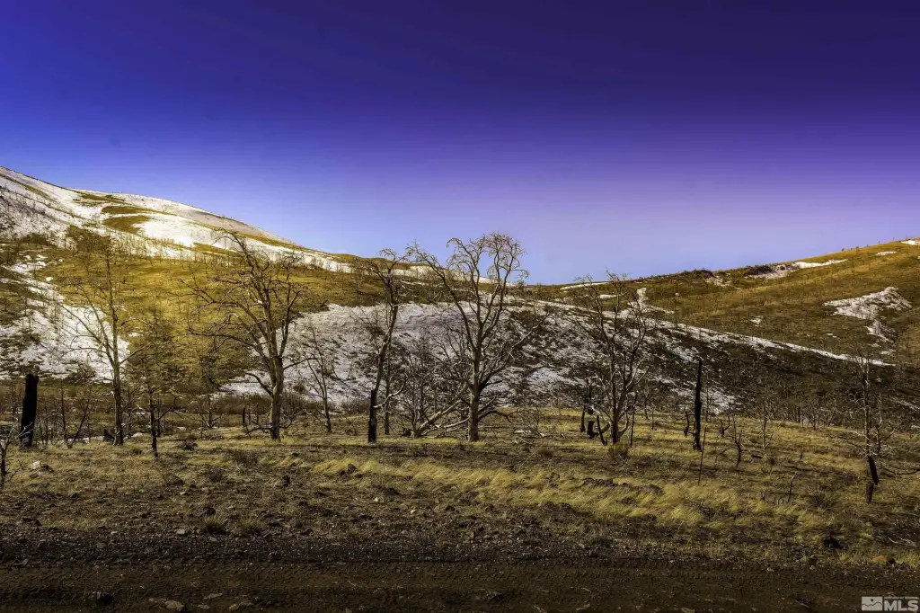
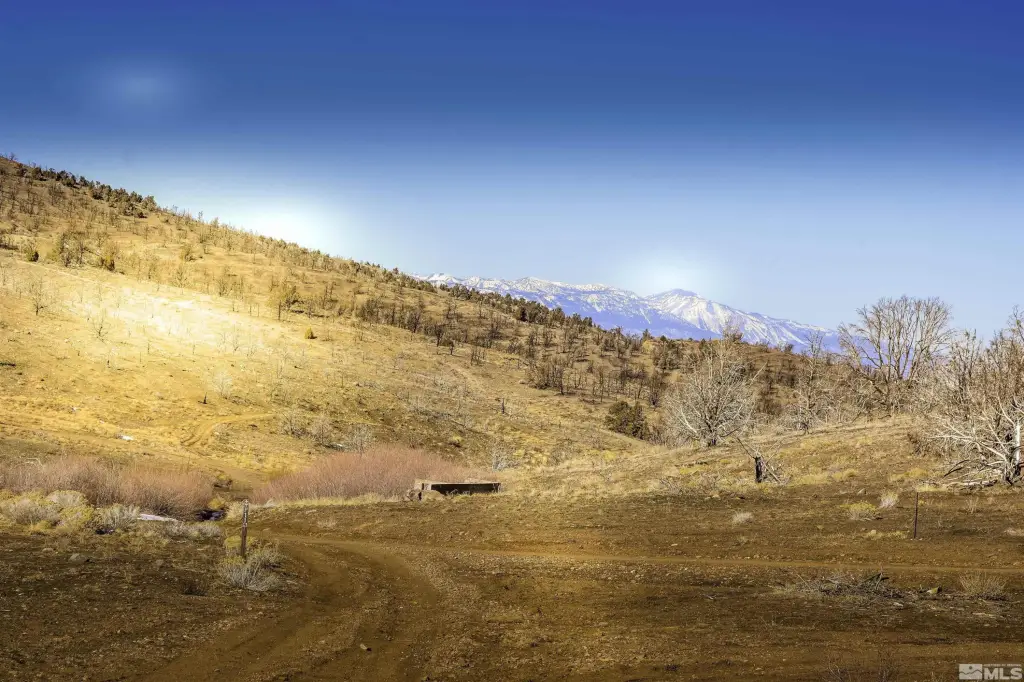
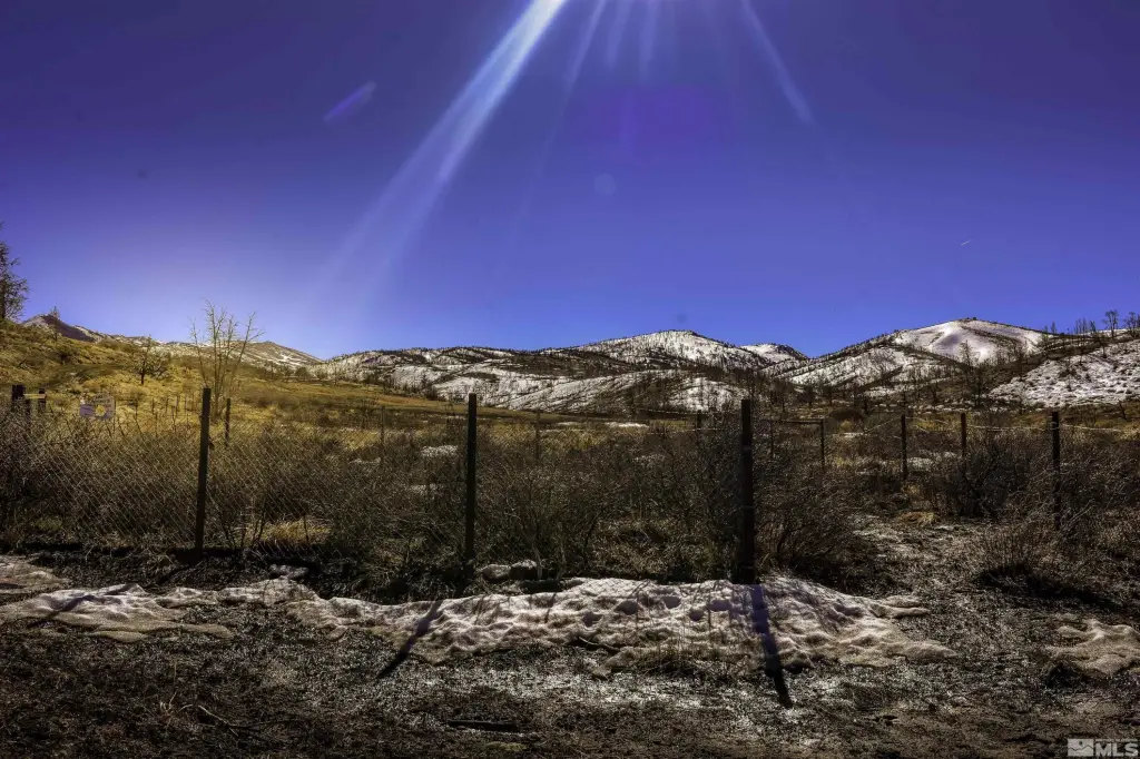
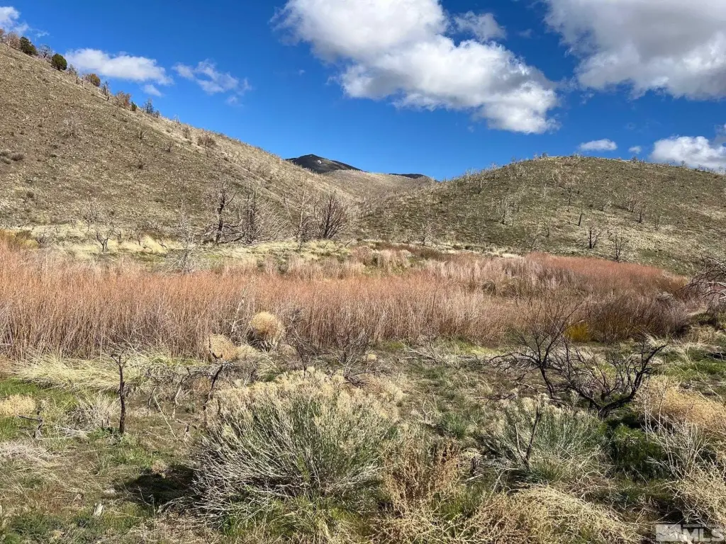
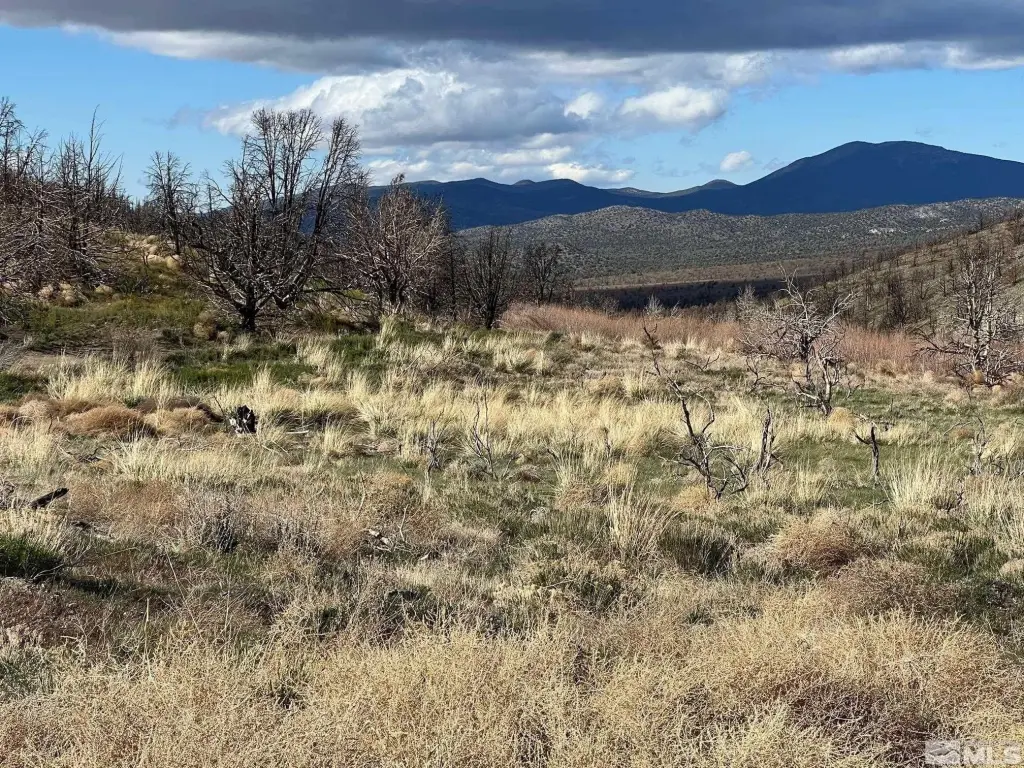
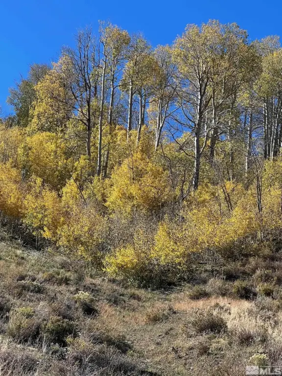
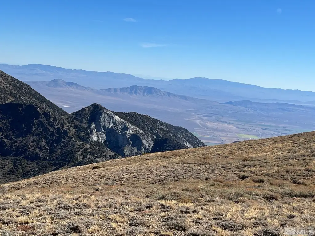
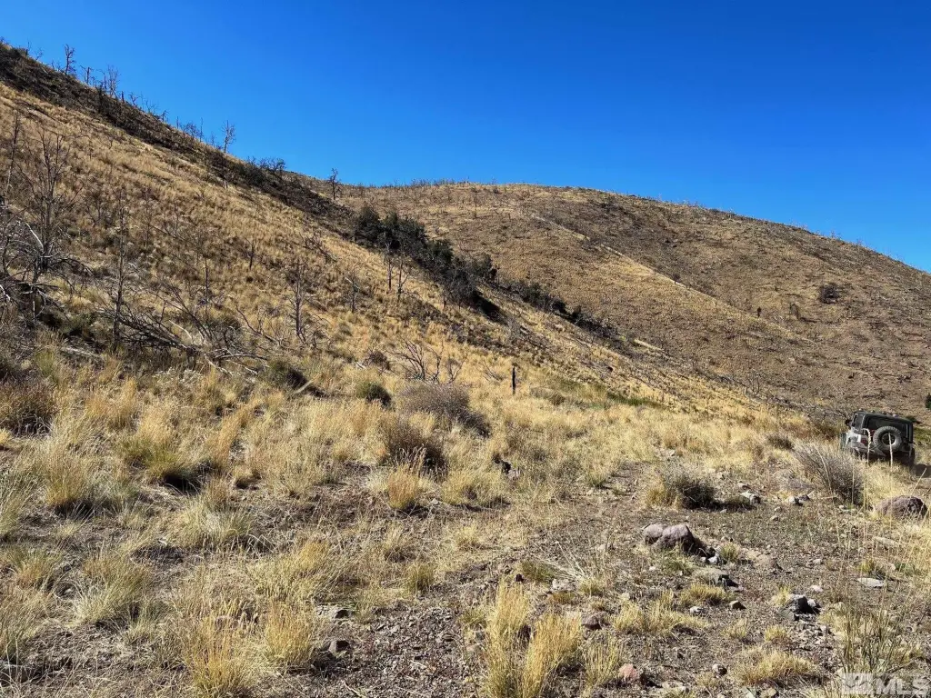
- Off‑Grid Living: Enjoy a secluded and peaceful "off the grid" location in the Pine Nut Mountains.
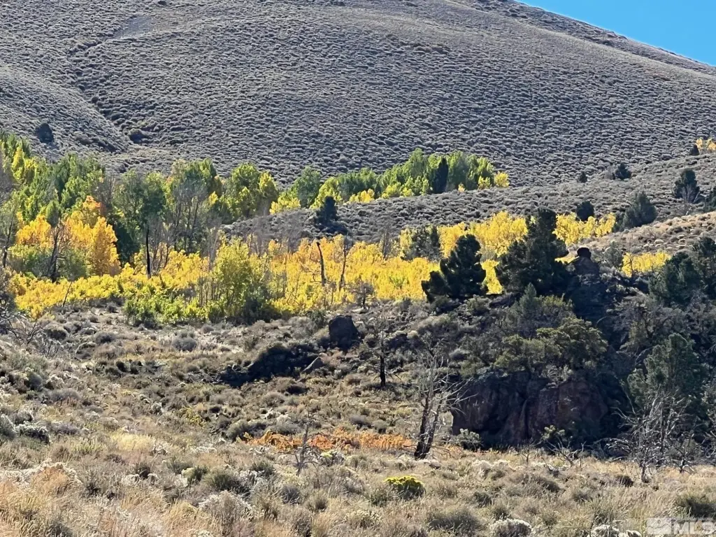
- Natural Water Source: Pine Nut Creek flows through the property.
- Conservation Area: All but 200 acres are in a conservation area.
- Proximity to Amenities: Approximately 15 miles to a Walmart Supercenter, hospital, and restaurants.
Overview
Access is limited to jeep trails, and the listing indicates a need for 4-wheel drive and clearance. The parcels are described as being surrounded by BLM and BIA land. The property is located about 15 miles from a Walmart Super Center and a hospital, with restaurants also noted, and approximately one hour and ten minutes from Lake Tahoe ski resort.
For buyers seeking rural grazing and ranch land, the combination of multi-parcel configuration, creek passage through the acreage, and included stock water rights may support ongoing livestock use. The largely conservation-designated acreage may also be relevant for buyers prioritizing preserved open range conditions. Prospective buyers should review parcel IDs and access requirements for each tract, given that the only access described is via jeep trails.
Current Use by Public Records
Map
- City
- Gardnerville
- County
- Douglas
- State
- Nevada
- Longitude
- -119.550448
- Latitude
- 38.858546