Commercial Land with Highway
For Sale
$285,000
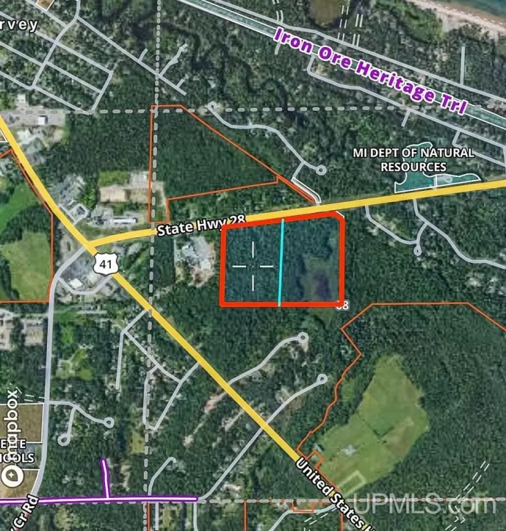
Parcel B M28 Highway, Marquette, MI 49855
LAND - Marquette, MI
Property SizeContact for details
Lot Size20.09 Acres
Days on Market807
Property Features for Parcel B M28 Highway
General Information
Property type
Land
Property subtype
Other
Zoning description
Mixed Use
Lot features
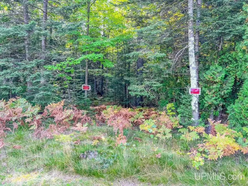
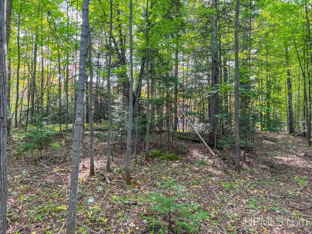
Deep Lot - 150+ Ft., Splits Available, Wooded
Elementary school district
Marquette Area School District
Middle school district
Marquette Area School District
High school district
Marquette Area School District
Subdivision
Chocolay Twp (52006)
Standard status
Active
Lot size
20.09 Acres
Taxes and HOA fees
Tax Year
2022
Tax Annual Amount
965
Listing Agency:
EXP REALTY OF MARQUETTE
(888) 501-7085
Listed By:
JOHN DEMAY · License #UPAR
(906) 362-1000
Added: Jun 7, 2024
Changed: Jun 24
Last Checked: Aug 22 at 8:06AM
MLS# 50145000
Copyright © 2026 Upper Peninsula Association of Realtors. All rights reserved. All information provided by the listing agent/broker is deemed reliable but is not guaranteed and should be independently verified.
Investment Insights
Based on property information with market context.
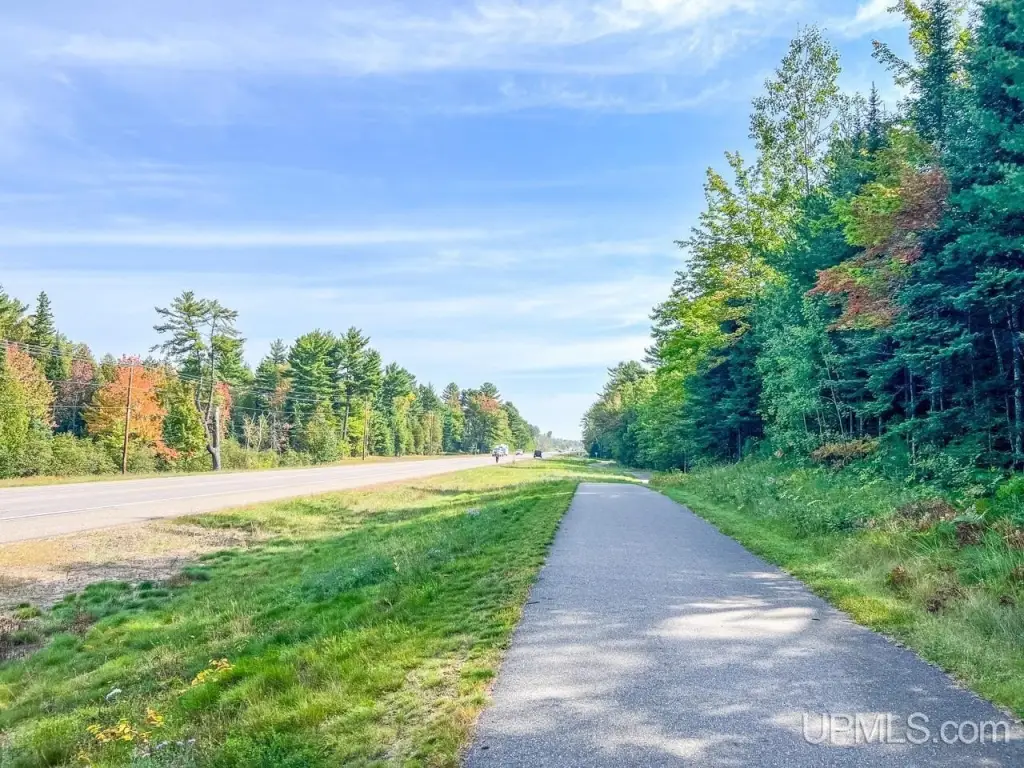
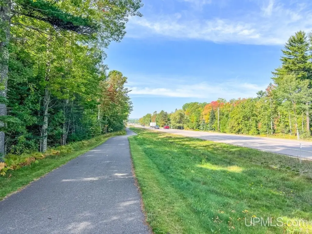
The offering is approximately 20.09 acres of commercial land, described as a mixed-use parcel with development options supporting both generous commercial and residential uses. The property includes approximately 700 feet of highway frontage, and Parcel B was split from a parent 40A parcel. A survey is on file, supporting planning and due diligence for prospective buyers.
The parcel is located just 600 yards from the US41 and M28 intersection. The seller reports a daily traffic count of approximately 8,500, which can be relevant to commercial visibility and site access planning. Parcel B also includes an access road and provides four split options on Parcel B.
For buyers seeking land that can be configured for multiple end uses, this parcel’s mixed-use positioning and availability of four splits may support a range of development approaches. The combination of highway frontage and defined split opportunities can be especially helpful for teams planning phased development or tailoring sites for different commercial and residential layouts, subject to applicable approvals and requirements.
The parcel is located just 600 yards from the US41 and M28 intersection. The seller reports a daily traffic count of approximately 8,500, which can be relevant to commercial visibility and site access planning. Parcel B also includes an access road and provides four split options on Parcel B.
For buyers seeking land that can be configured for multiple end uses, this parcel’s mixed-use positioning and availability of four splits may support a range of development approaches. The combination of highway frontage and defined split opportunities can be especially helpful for teams planning phased development or tailoring sites for different commercial and residential layouts, subject to applicable approvals and requirements.
Key Highlights
- 20‑acre parcel about 600 yards from the US41 and M28 intersection
- Approximately 700 ft of highway frontage on the property
- Daily traffic count is approximately 8,500 vehicles
Property Analytics
Current Use
Lease Details
8,500 VPD
Traffic count
Yes
Highway access
Yes
Paved road access
Location Intelligence
Trade Area within ½ mile
87
Businesses Nearby
Explore this area
Business Placement
Demographics for 49855, MI
32,929
Population
15,779
Households
2.1
Avg Household Size
38
Median Age
45%
College-Educated
96%
High-School Grad
206.9 sq mi
ZIP Area
159
Density / Sq Mi
$62,321
Median Household Income
$27,408
Median Earnings
$992
Median Rent
$245,100
Median Home Value

Questions? Ask Rey
Realmo’s AI knows this listing — price, zoning, demand, history. Ask anything.






Frequently Asked Questions
What type of property is this?
Commercial land - Approximately 20 acres with 700 feet of highway frontage and multiple split options for flexible development planning.
Where is this commercial land located?
The property is located at Parcel B M28 Highway Marquette, MI.
What is the asking price?
The asking price for this property is $285,000.
What are key features of this property?
This property features: 20‑acre parcel about 600 yards from the US41 and M28 intersection; Approximately 700 ft of highway frontage on the property; Daily traffic count is approximately 8,500 vehicles


