Nueces River Waterfront Ranch
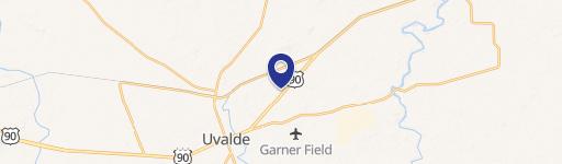
Nueces River Ranch Hwy 55 Uvalde, TX 78801
Nueces River Ranch Hwy 55, Uvalde, TX, 78801
$17,500,000
For Sale
$17,500,000
LAND - Uvalde, TX
Lot Size7,532.21 Acres
Days on Market24
Property Features for Nueces River Ranch Hwy 55
General Information
- Property type
- Land
- Property subtype
- Other
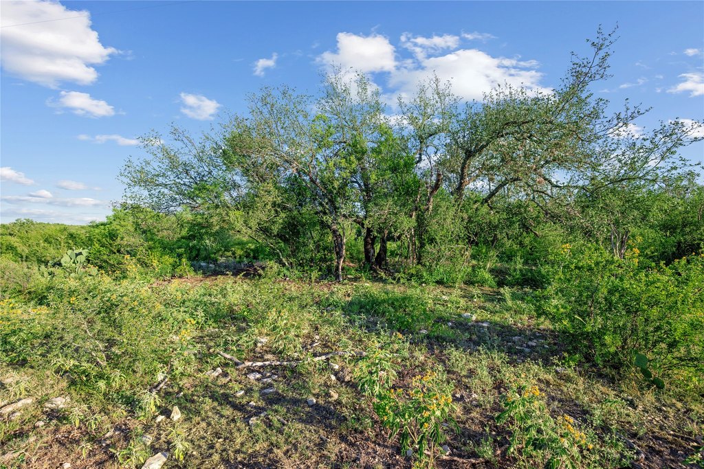
- Vegetation
- Wooded, Brush, Grassed
- Standard status
- Active
- APN
- 23387
- Lot size
- 7,532.21 Acres
Taxes and HOA fees
- Tax Description
- A1748 ABSTRACT 1748 SURVEY 16 A-1748 S-16 46.
- Tax Annual Amount
- 7337
Utilities
- Water source
- Well
- Water front features
- Waterfront, River Front
- Water front
- 1
Listing Agency
Trinity Country Real Estate
(817) 594-8183
Weatherford, TX
Listed by
Matt Milligan · License #0500456
(817) 594-8183
Added: Jun 25 Checked: Jul 18 at 9:06 am
MLS# 21110825
Listing URL
Copyright © 2026 North Texas Real Estate Information Systems, Inc. All rights reserved. All information provided by the listing agent/broker is deemed reliable but is not guaranteed and should be independently verified.
Investment Insights
Based on property information with market context.
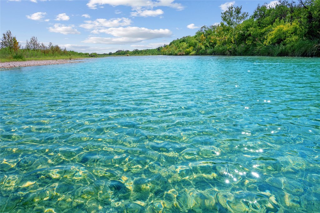
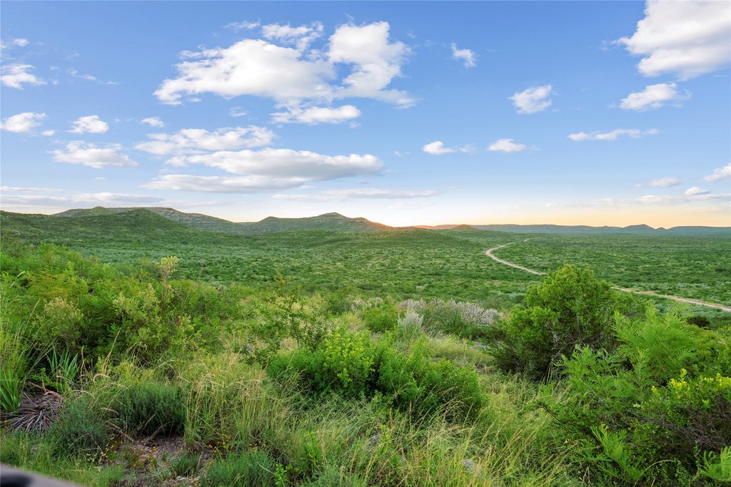
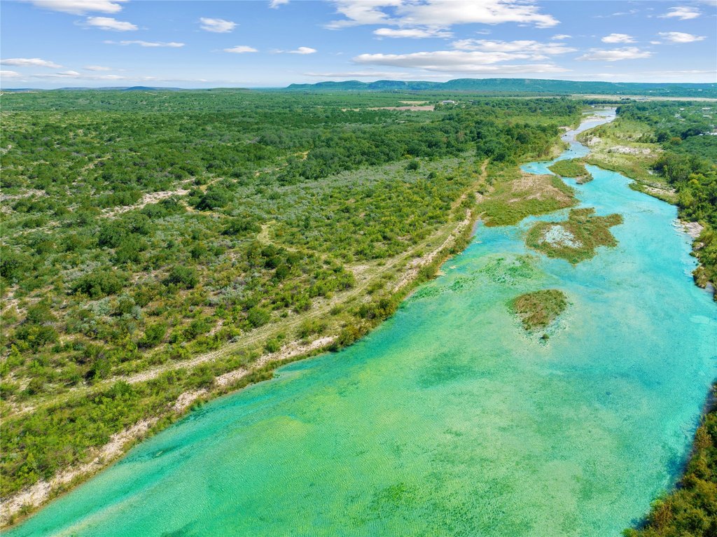
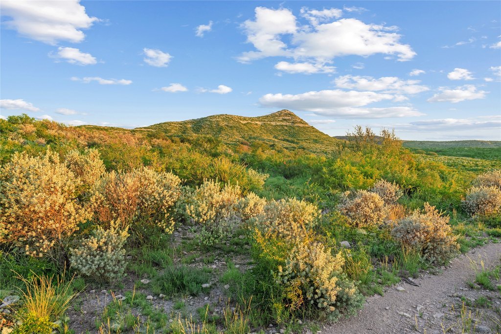
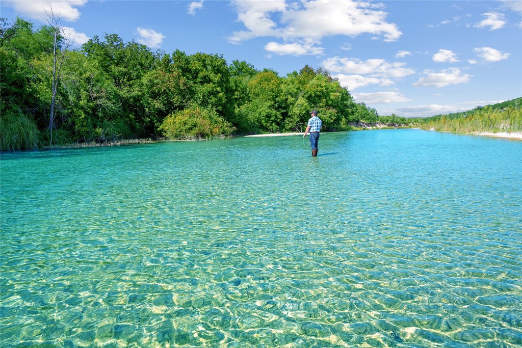
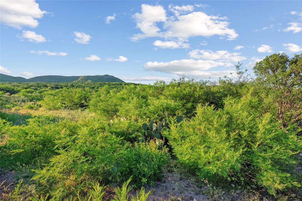
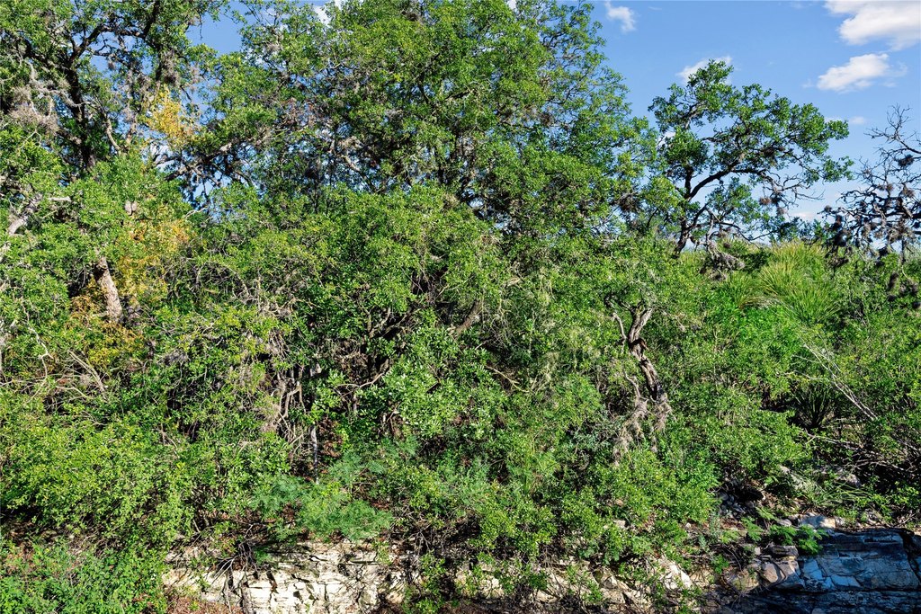
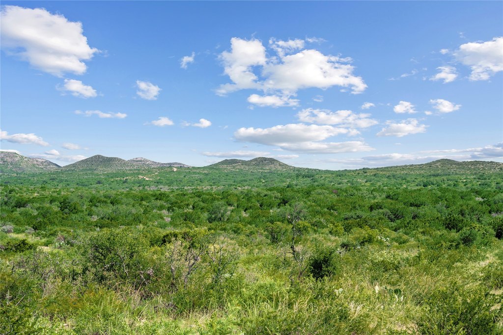
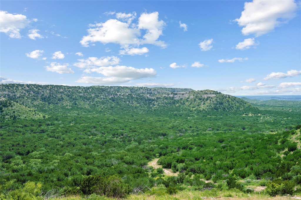
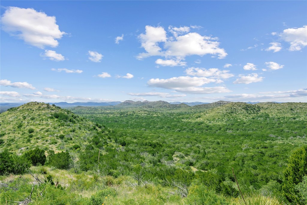
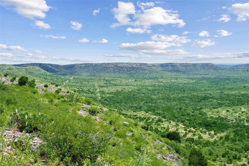
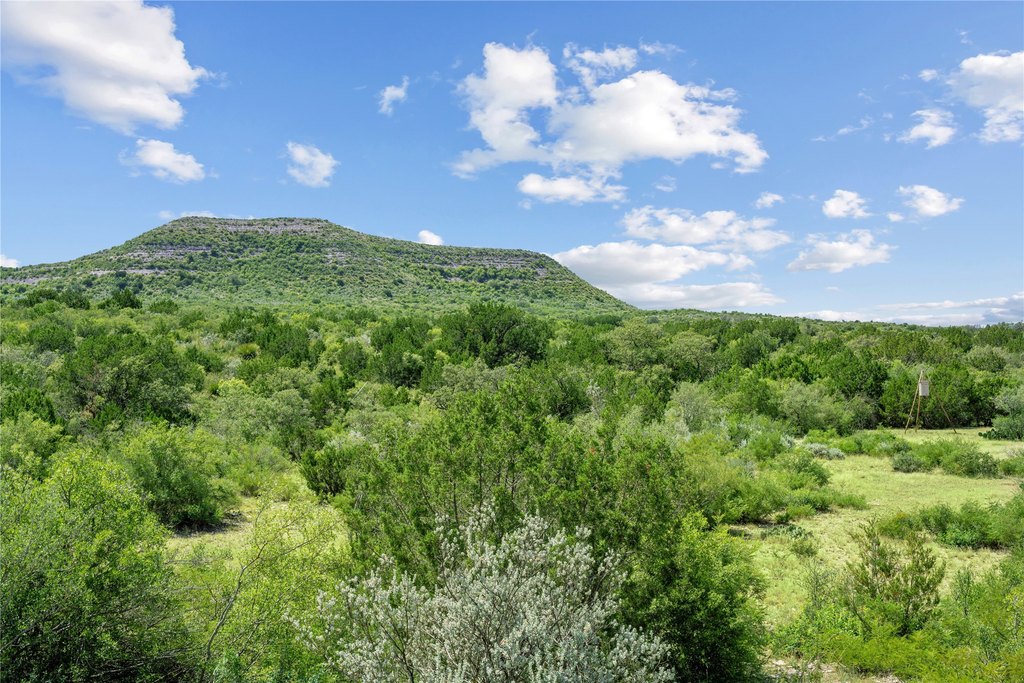
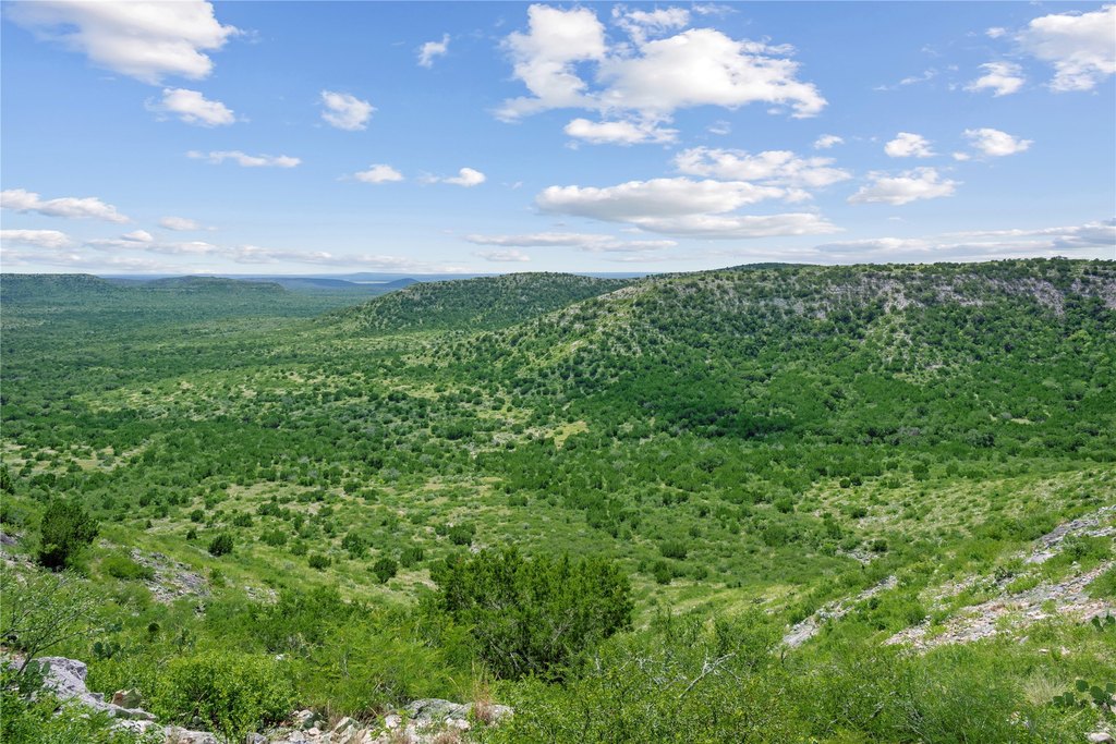
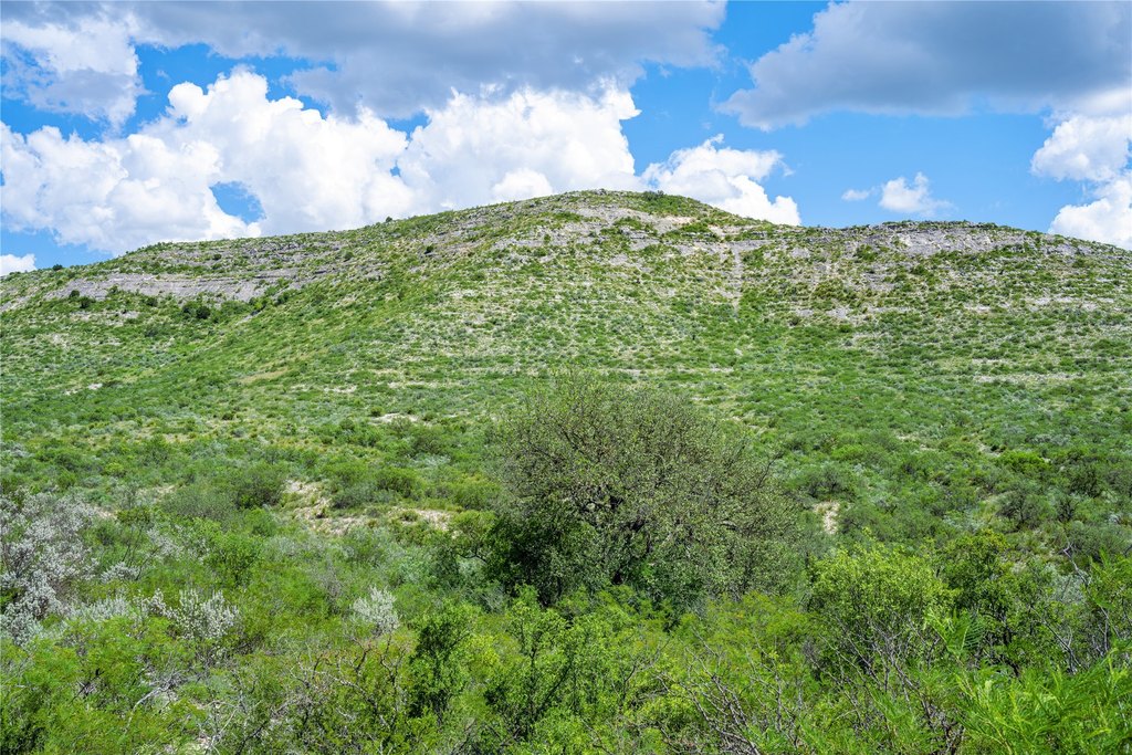
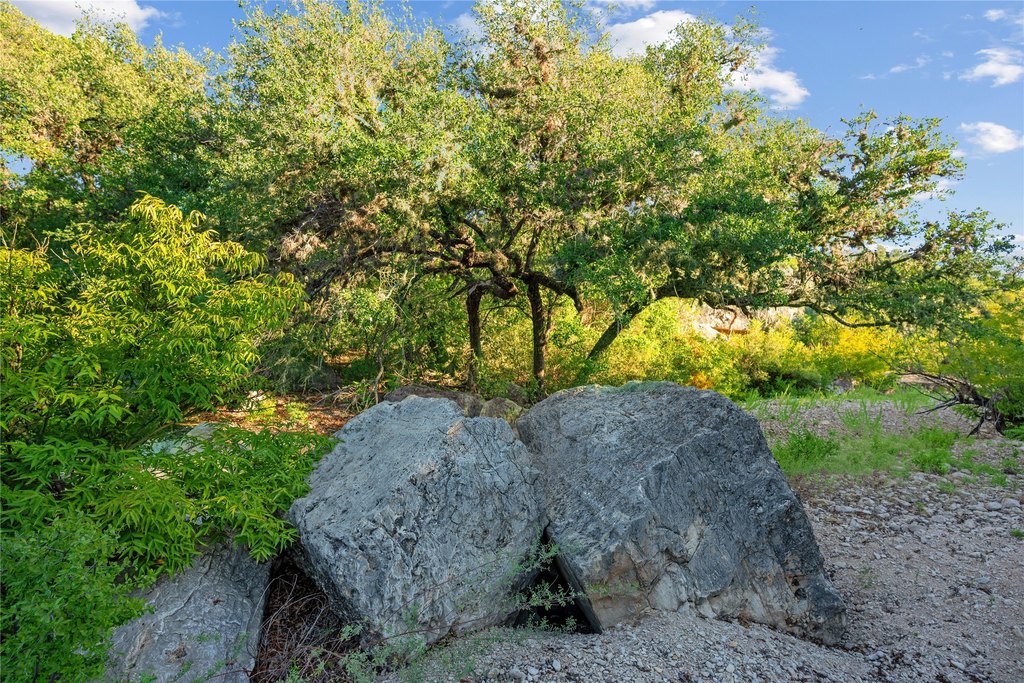
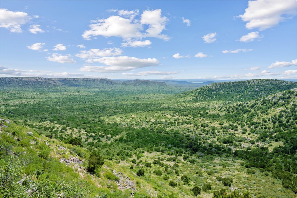
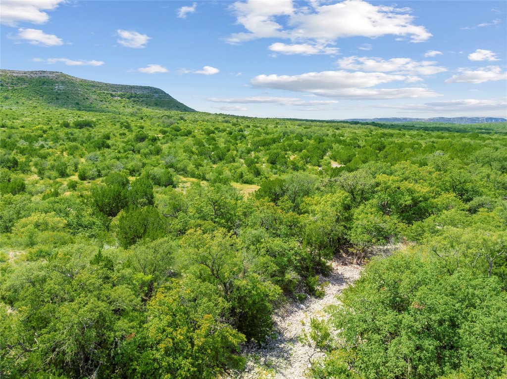
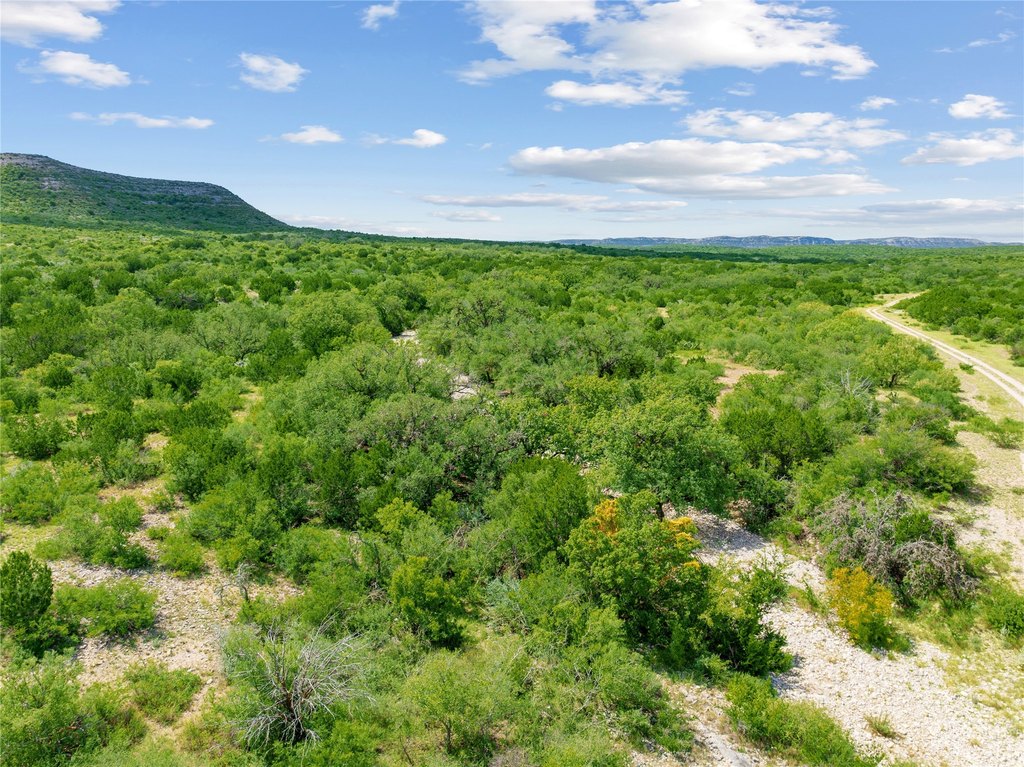
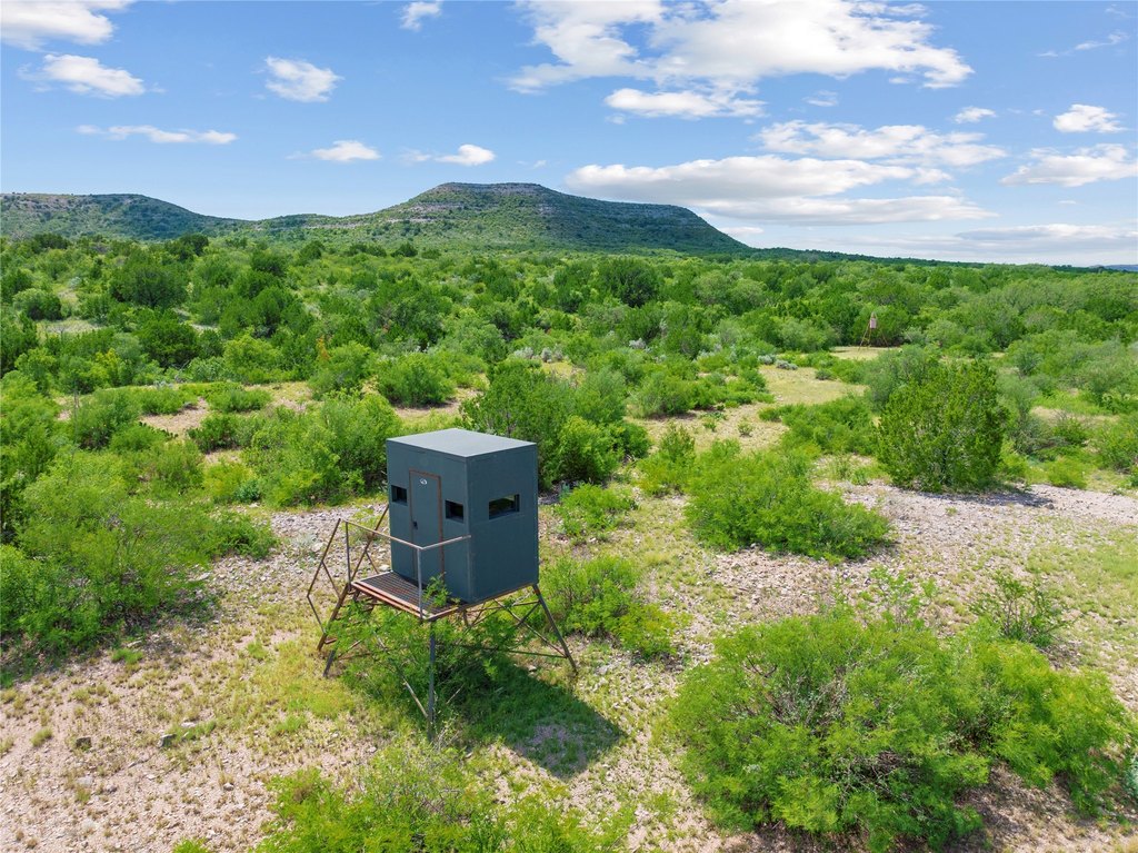
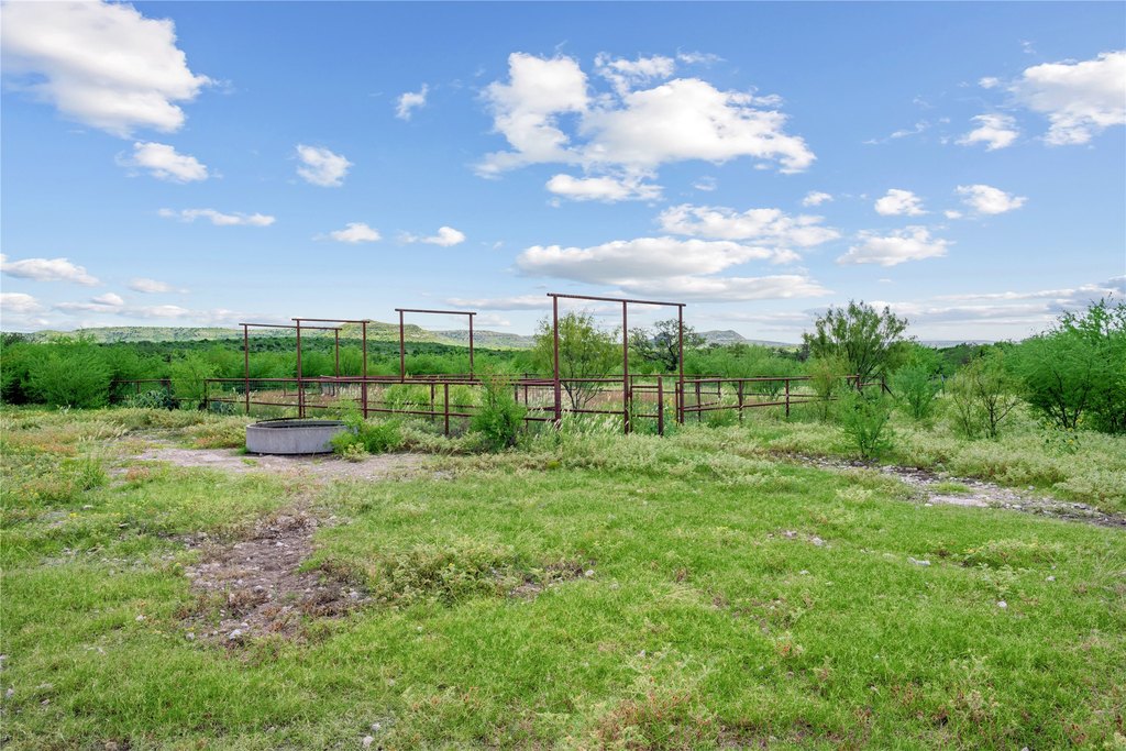
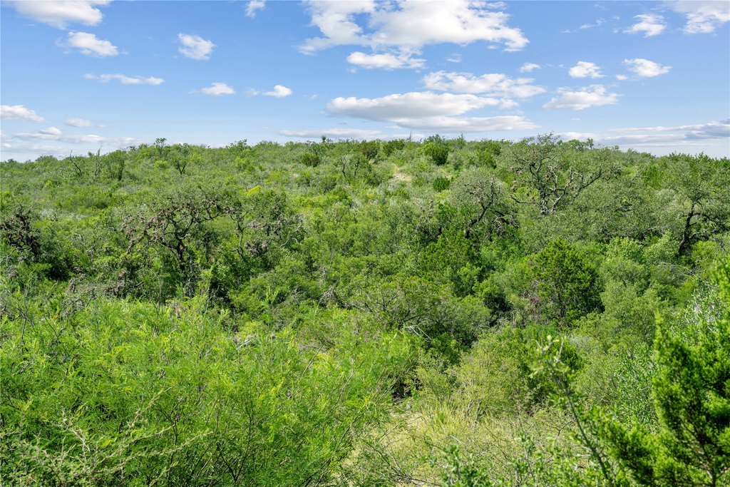
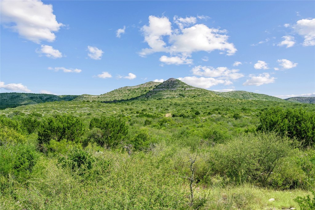
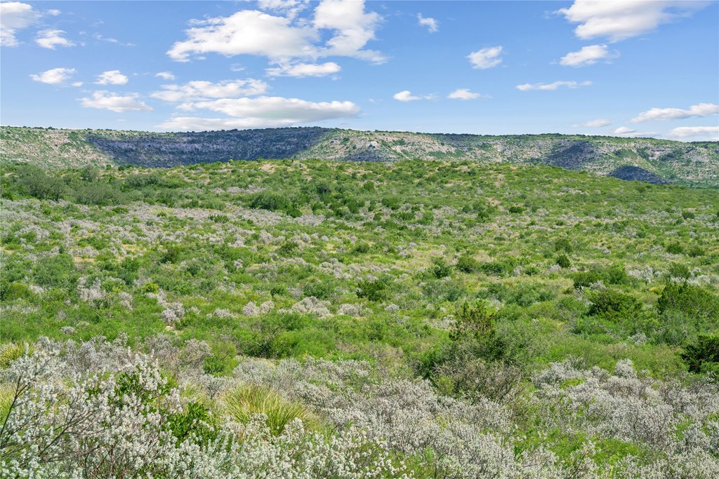
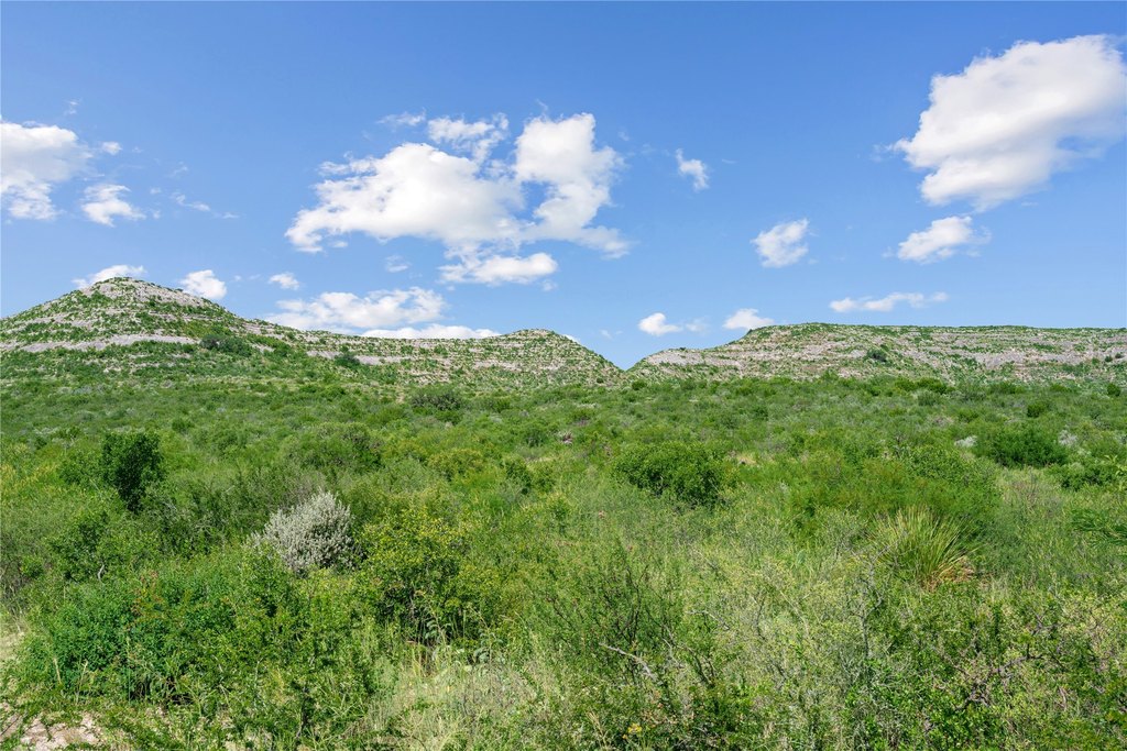
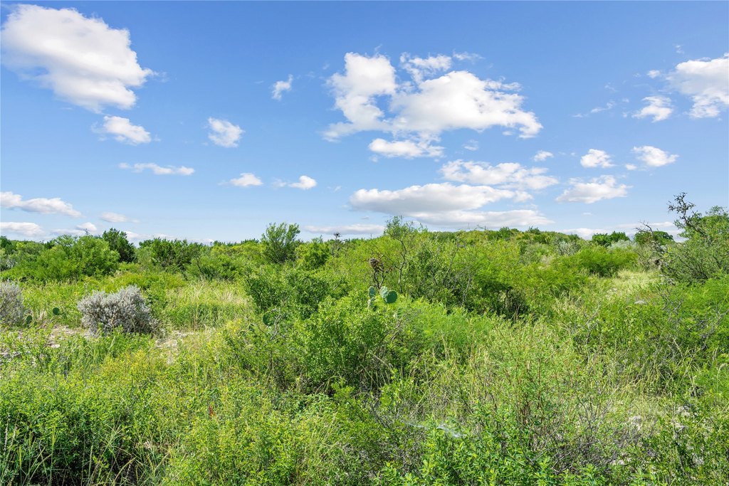
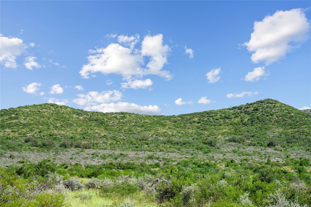
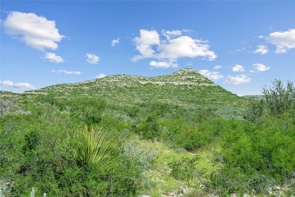
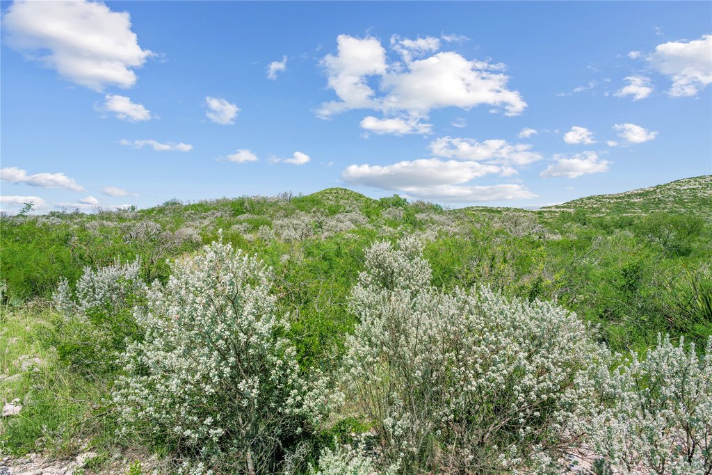
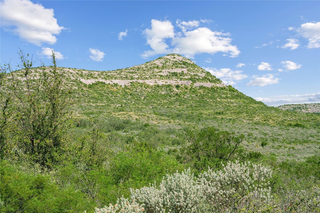
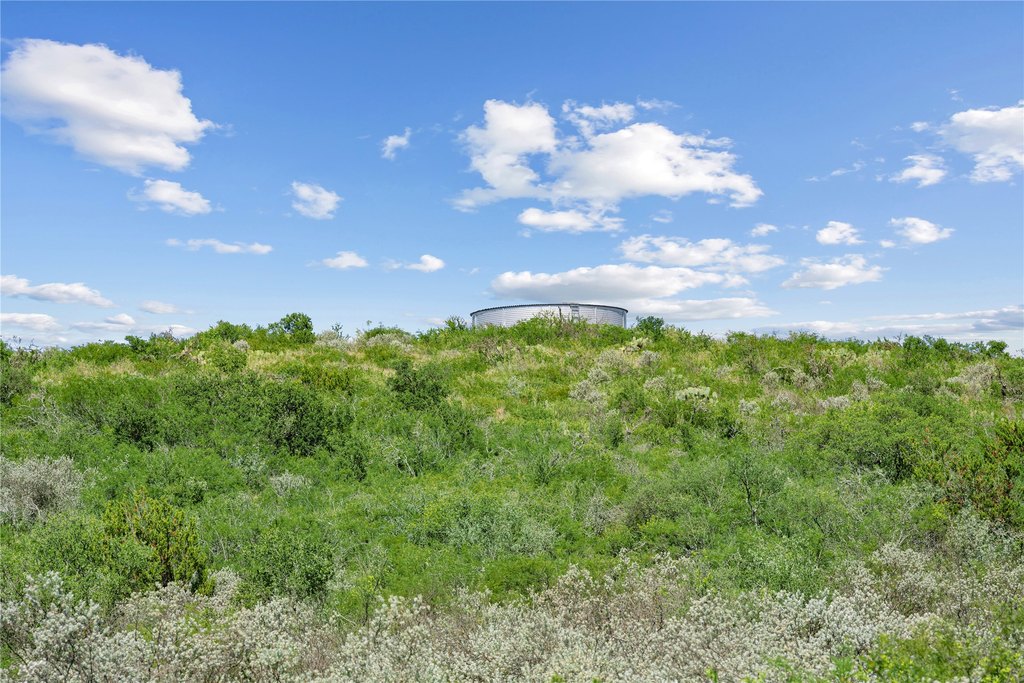
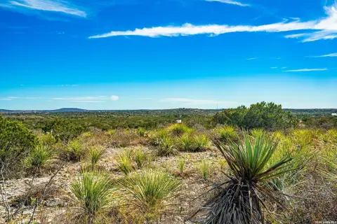
Nueces River Ranch offers expansive ranch land along the Edwards Plateau, centered on approximately half a mile of private frontage along the Nueces River. The property spans rolling plateaus to rugged canyons carved by seasonal creeks, with varied elevation from about 1,160 feet to roughly 1,664 feet, and views described as sweeping 360 degrees of the Sycamore Mountain Range. The ranch is perimeter-fenced with barbed wire and supported by water infrastructure that includes two reliable wells, multiple watering holes, and an extensive network of buried lines supplied by three cisterns.
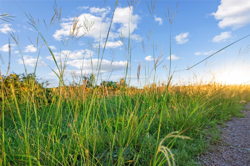
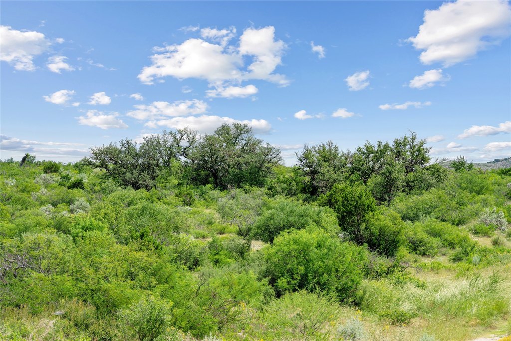
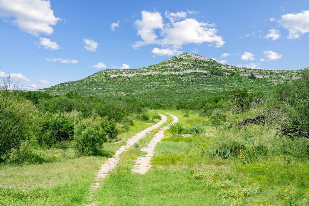
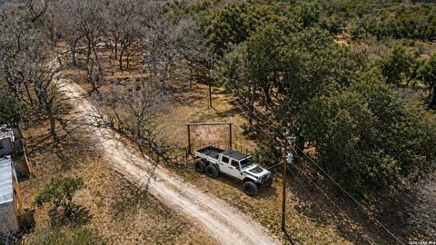
Accessibility is described as exceptional, with maintained main roads and an extensive network of UTV trails across the property. Electricity has been extended into the ranch to support future improvements. The landscape includes live oaks, mesquite, and sycamore, and the property is characterized by seasonal creeks and diverse terrain that runs roughly 5 miles by 5 miles.
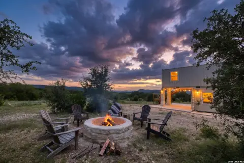
This offering is suited to buyers seeking a large, turnkey-feeling ranch environment with both river access and ranch water capabilities already in place. The combination of private river frontage and on-site wells, watering locations, and cistern-fed distribution supports a range of outdoor and livestock uses, with proximity described as about 20 miles to both Uvalde and Camp Wood.
Accessibility is described as exceptional, with maintained main roads and an extensive network of UTV trails across the property. Electricity has been extended into the ranch to support future improvements. The landscape includes live oaks, mesquite, and sycamore, and the property is characterized by seasonal creeks and diverse terrain that runs roughly 5 miles by 5 miles.
This offering is suited to buyers seeking a large, turnkey-feeling ranch environment with both river access and ranch water capabilities already in place. The combination of private river frontage and on-site wells, watering locations, and cistern-fed distribution supports a range of outdoor and livestock uses, with proximity described as about 20 miles to both Uvalde and Camp Wood.
Key Highlights
- 7,532+-acre legacy ranch with approx 0.5 mile of private Nueces River frontage and river access for swimming, fishing, and kayaking
- Additional 960 acres available; combined offering totals over 8,490 acres, expanding private river frontage
- Well‑watered ranch with 2 reliable wells, multiple watering holes, and an extensive buried‑line network supplied by 3 cisterns
Property Analytics
Location Intelligence
Current Use by Public Records
Ranches
Similar For Sale Nearby
FAQs
What type of property is this?
Ranch - Ranch land with private Nueces River frontage and on-site water systems for wildlife and livestock use.
Where is this ranch located?
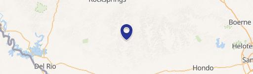
The property is located at Nueces River Ranch Hwy 55 Uvalde, TX.
What is the asking price?
The asking price for this property is $17,500,000.
What are key features of this property?
This property features: 7,532+-acre legacy ranch with approx 0.5 mile of private Nueces River frontage and river access for swimming, fishing, and kayaking; Additional 960 acres available; combined offering totals over 8,490 acres, expanding private river frontage; Well‑watered ranch with 2 reliable wells, multiple watering holes, and an extensive buried‑line network supplied by 3 cisterns