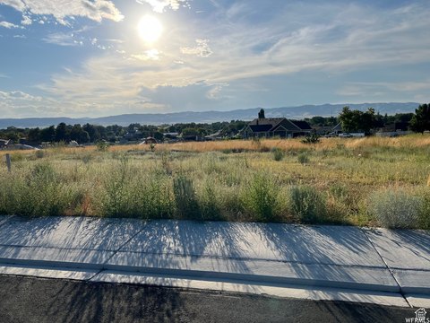
Agricultural Farmland with Highway
For Sale
Contact for pricing
Nephi, UT 84648, Nephi, UT 84648
Land, Nephi, UT
Property SizeContact for details
Lot Size156.88 Acres
Days on Market193
Property Features
General Information
Property type
Land
Property subtype
Other
Zoning
Agricultural
Zoning description
AGR
Exterior features
Out Buildings
Lot features
View: Mountain, View: Valley, Terrain: Flat, Excl. Mineral Rights, Excl. Oil/ Gas Rights
View
Valley
Elementary school
Nephi
Middle school
Juab
High school
Juab
Elementary school district
Juab
Middle school district
Juab
High school district
Juab
Subdivision
Nephi
Standard status
Active
APN
XB00-2636
Lot size
156.88 Acres
Taxes and HOA fees
Tax Annual Amount
54
Listing Agency:
Windermere Real Estate (Daybreak)
(801) 485-3151
Listed By:
Jeffrey Walsh
(801) 204-6000
Added: Feb 10
Changed: Aug 19
Last Checked: Aug 22 at 3:06AM
MLS# 2136237
Copyright © 2026 UtahRealEstate.com. All rights reserved. All information provided by the listing agent/broker is deemed reliable but is not guaranteed and should be independently verified.
Investment Insights
Based on property information with market context.
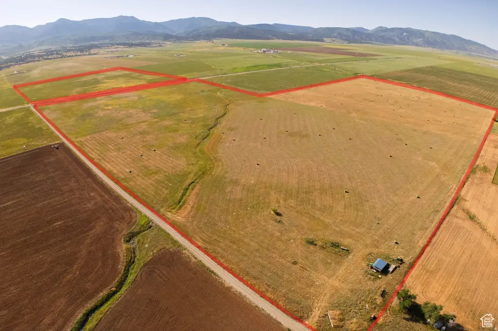
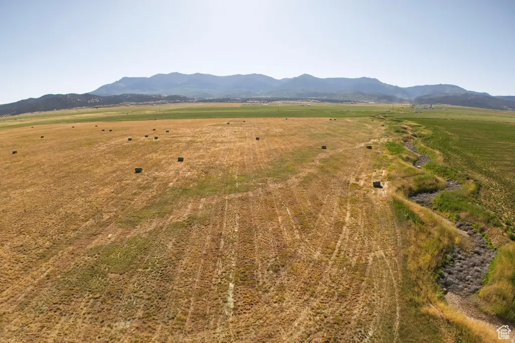
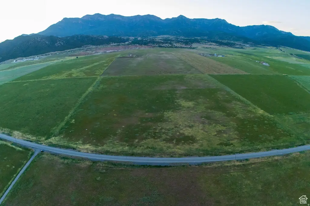
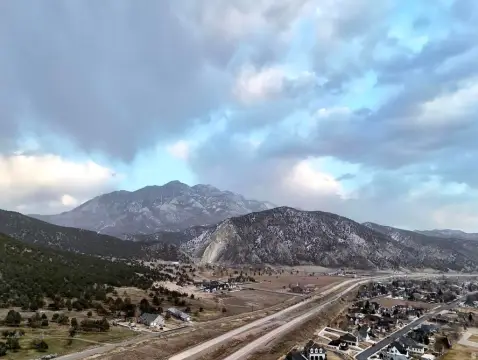
Agricultural farmland totaling 156.88 acres in Juab County, UT, offered with out buildings. The seller reports nearly 157 acres of peace and quiet with mountain views. The property is currently zoned Agricultural.
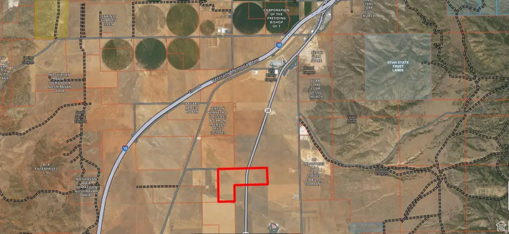
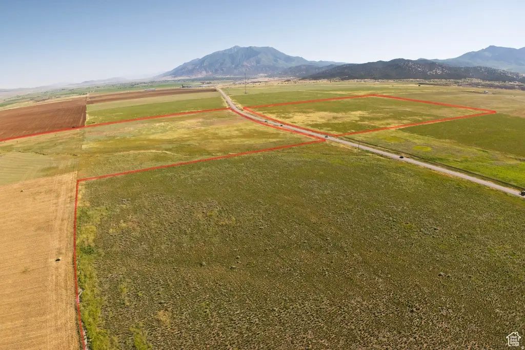
Access is supported by nearby I-15, with the land located within 3 miles of I-15 between Nephi and Levan. Highway access is also a key feature: the seller reports 2700 ft of highway frontage in total, with GPS points on Highway 28 and mile marker 36 on the property. North edge GPS coordinates are 39.64581, -111.86104 and the south edge GPS coordinates are 39.64219, -111.86147.
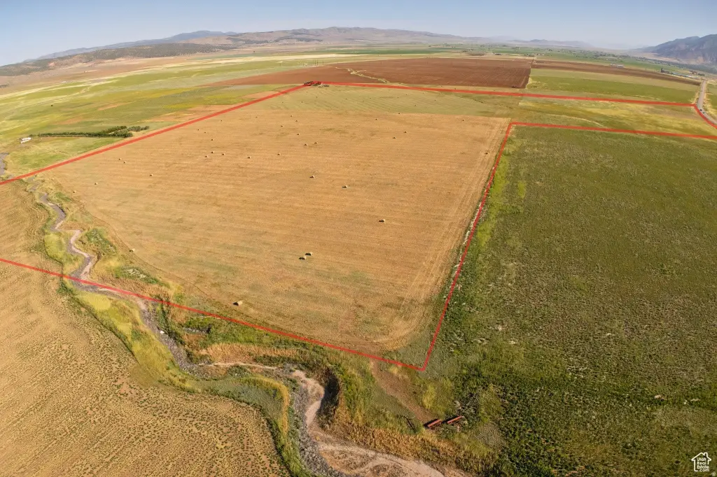
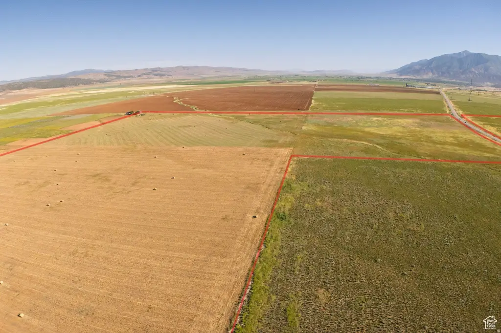
The seller reports one cut of hay per year from both properties, taking place at the end of June. While the land is currently zoned Agricultural, the seller notes it may be possible to rezone to industrial or commercial uses similar to other properties in the area.
Access is supported by nearby I-15, with the land located within 3 miles of I-15 between Nephi and Levan. Highway access is also a key feature: the seller reports 2700 ft of highway frontage in total, with GPS points on Highway 28 and mile marker 36 on the property. North edge GPS coordinates are 39.64581, -111.86104 and the south edge GPS coordinates are 39.64219, -111.86147.
The seller reports one cut of hay per year from both properties, taking place at the end of June. While the land is currently zoned Agricultural, the seller notes it may be possible to rezone to industrial or commercial uses similar to other properties in the area.
Key Highlights
- 156.88 total acres in Juab County, UT, currently zoned Agricultural
- 2700 ft of highway frontage in total
- Frontage located on Highway 28, with mile marker 36 on the property
Property Analytics
Property Profile
Current Use
Location Intelligence
Trade Area within ½ mile
1
Businesses Nearby
Explore this area
Business Placement
Demographics for 84648, UT
6,830
Population
2,358
Households
2.9
Avg Household Size
32
Median Age
22%
College-Educated
94%
High-School Grad
167.7 sq mi
ZIP Area
41
Density / Sq Mi
$97,708
Median Household Income
$37,241
Median Earnings
$930
Median Rent
$386,300
Median Home Value

Questions? Ask Rey
Realmo’s AI knows this listing — price, zoning, demand, history. Ask anything.


Frequently Asked Questions
What type of property is this?
Agricultural land / Farmland - Agricultural farmland zoned for agricultural use with highway frontage for flexible future use planning.
Where is this agricultural land / farmland located?
The property is located at Nephi, UT.
What are key features of this property?
This property features: 156.88 total acres in Juab County, UT, currently zoned Agricultural; 2700 ft of highway frontage in total; Frontage located on Highway 28, with mile marker 36 on the property


