Unzoned Commercial Land Tract with
53.9 Acres Hwy 82 Muenster, TX 76252
53.9 Acres Hwy 82, Muenster, TX, 76252
$1,019,277
For Sale
$1,019,277
LAND - Other - Muenster, TX
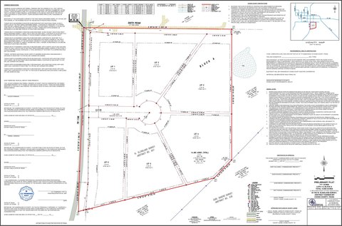
Lot Size53.93 Acres
Days on Market18
Property Features for 53.9 Acres Hwy 82
General Information
- Property type
- Land
- Property subtype
- Other
- Vegetation
- Wooded, Brush
- Standard status
- Active
- APN
- 4461
- Lot size
- 53.93 Acres
Taxes and HOA fees
- Tax Description
- Barnett J, A-042, Block 2&3; 53.93;Town Lot
Utilities
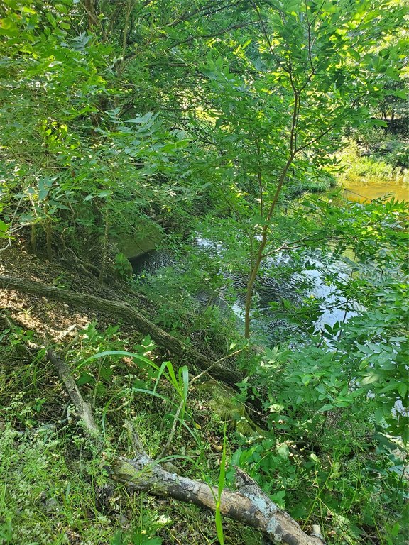
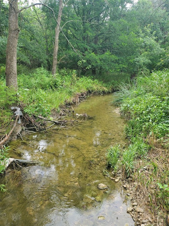
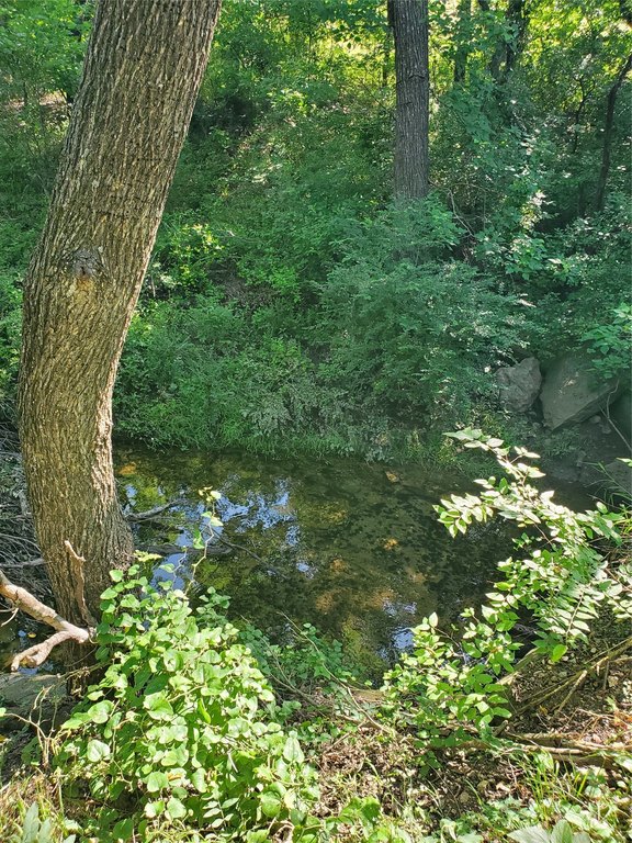
- Water front features
- Creek
Building Details
- Architectural style
- Other
Listing Agency
THE REAL ESTATE COMPANY
(940) 668-8523
Gainesville, TX
Listed by
Jennifer Bryson · License #0755130
(940) 668-8523
Added: Jul 1 Checked: Jul 18 at 8:06 am
MLS# 21093684
Listing URL
Copyright © 2026 North Texas Real Estate Information Systems, Inc. All rights reserved. All information provided by the listing agent/broker is deemed reliable but is not guaranteed and should be independently verified.
Investment Insights
Based on property information with market context.
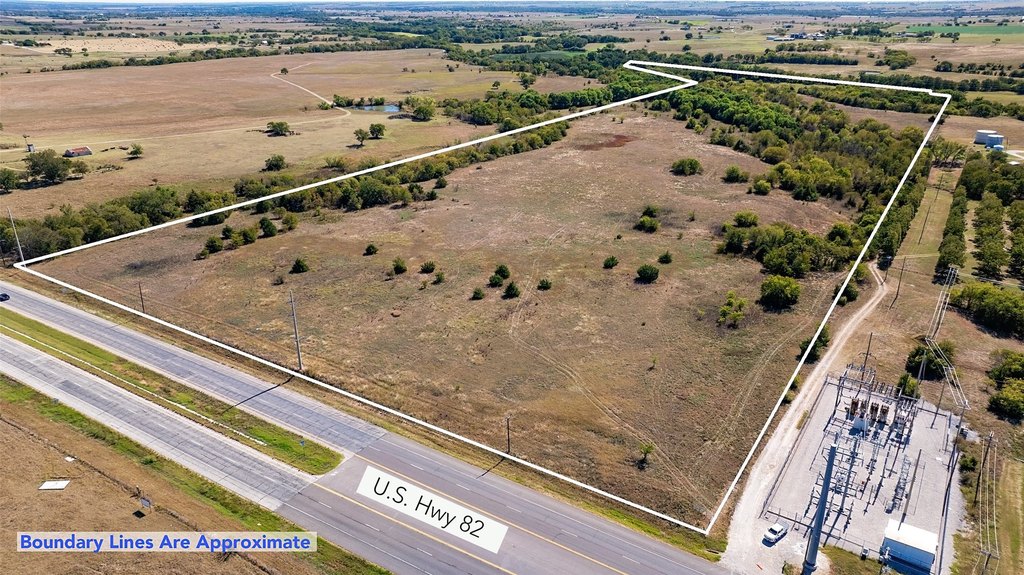
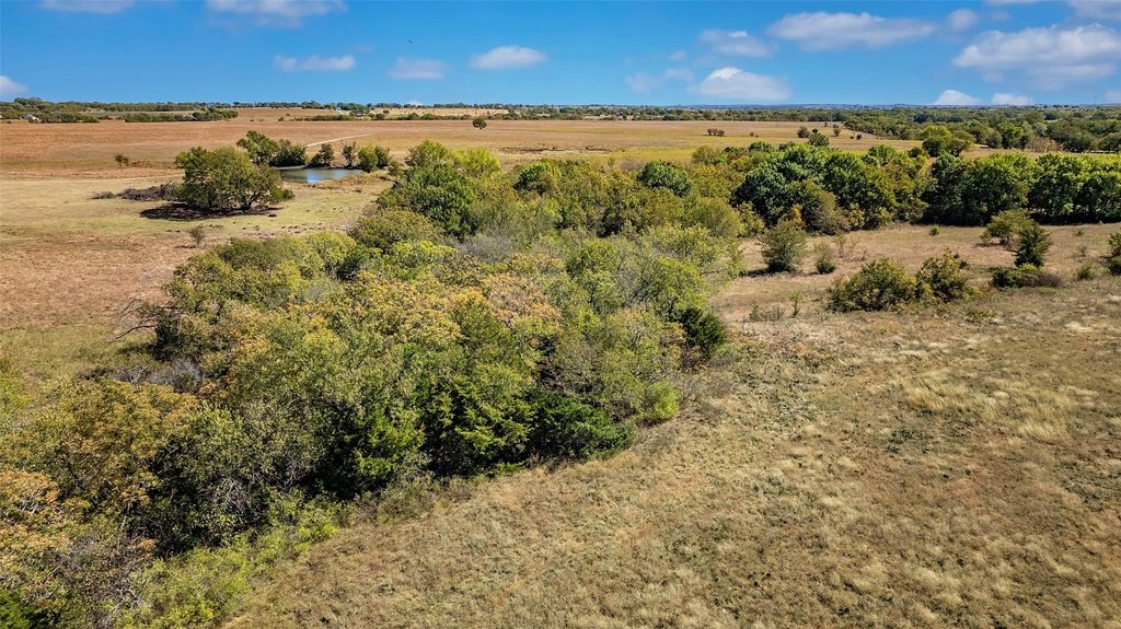
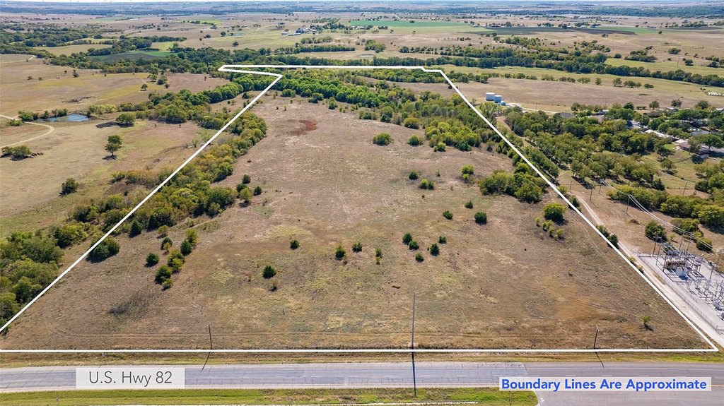
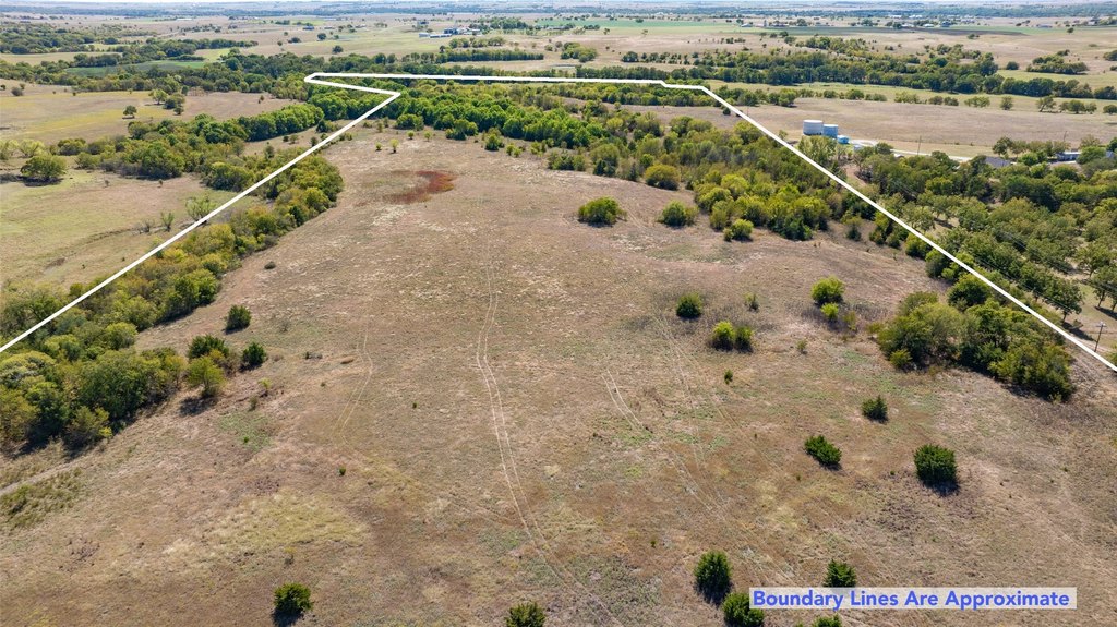
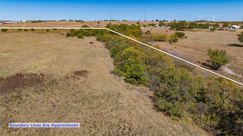
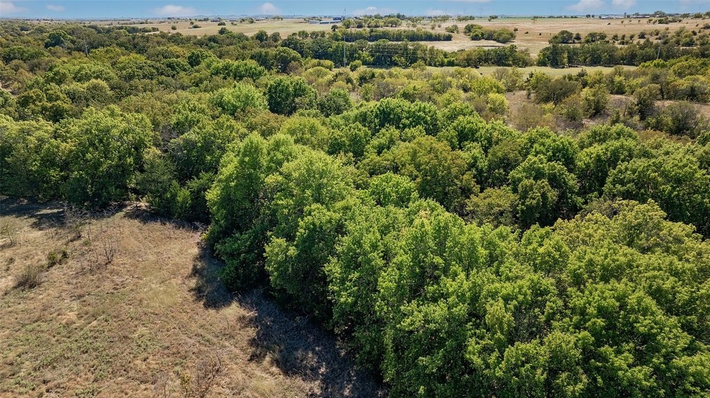
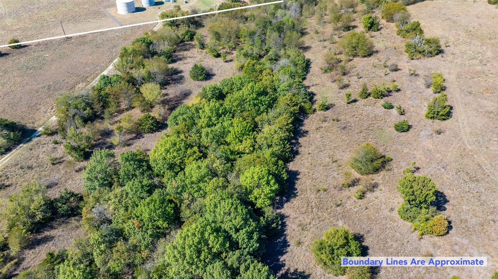
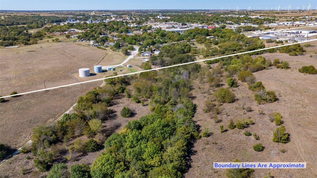
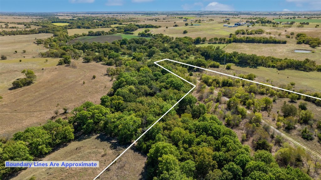
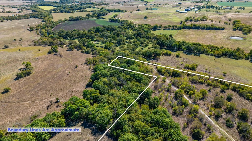
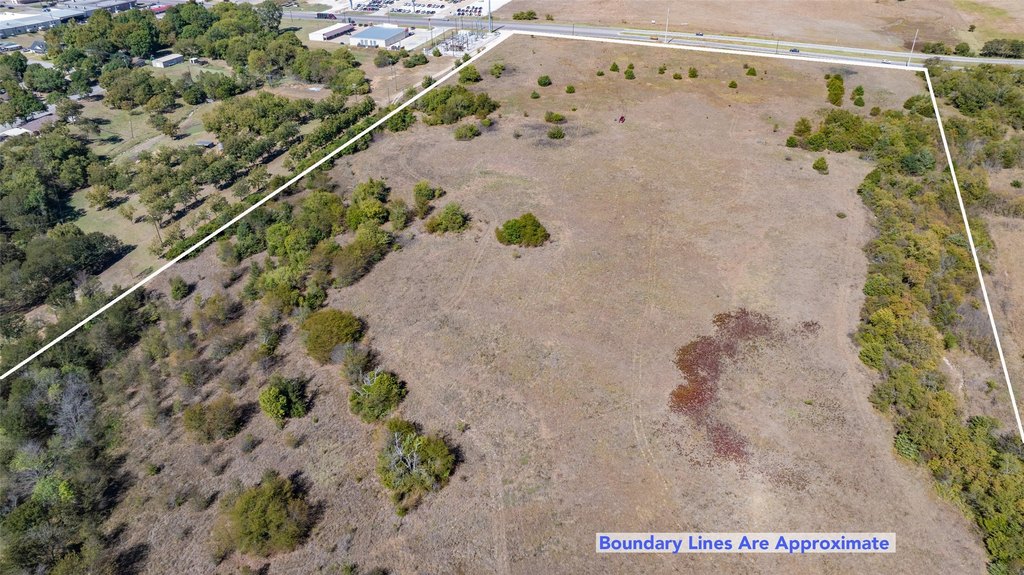
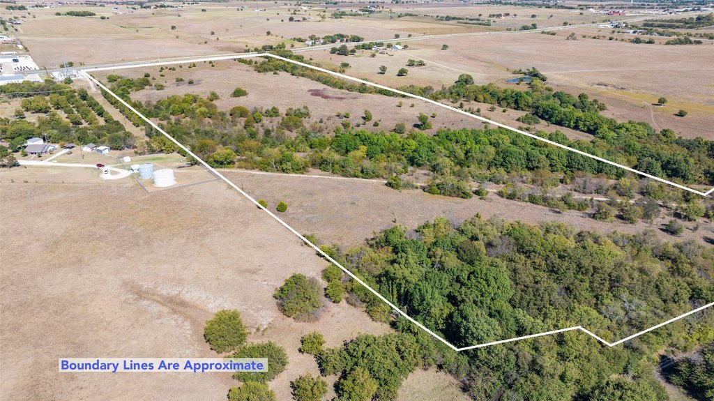
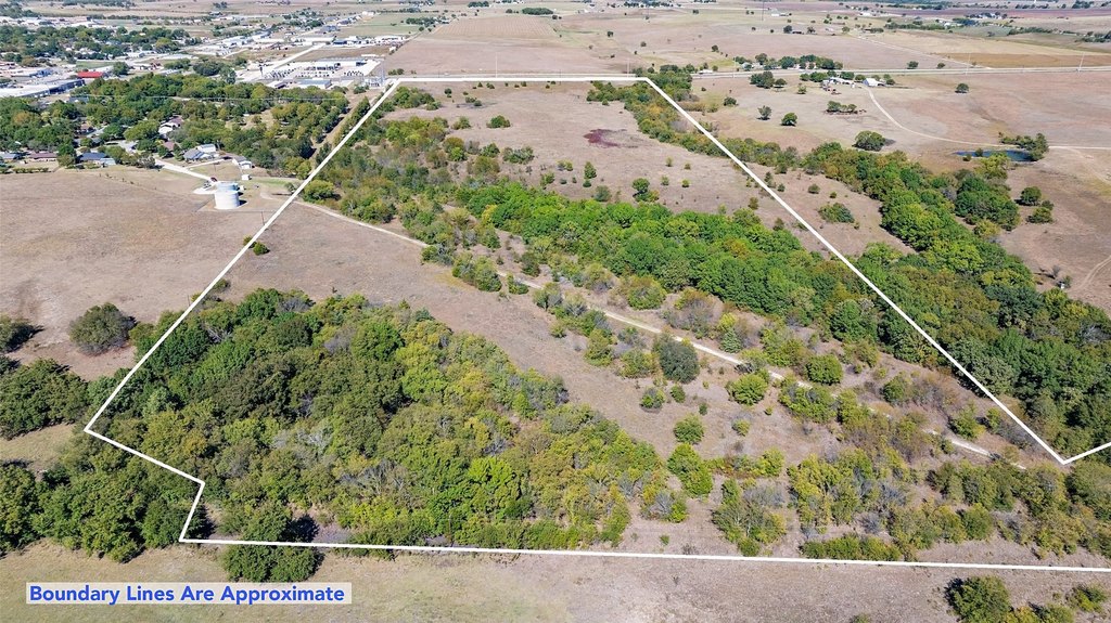
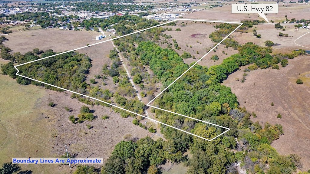
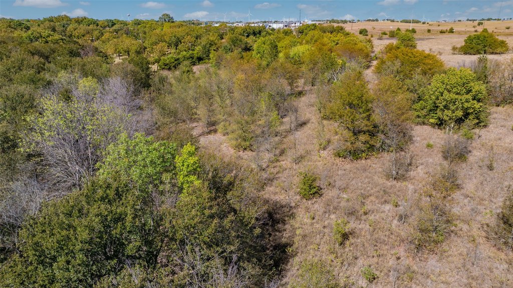
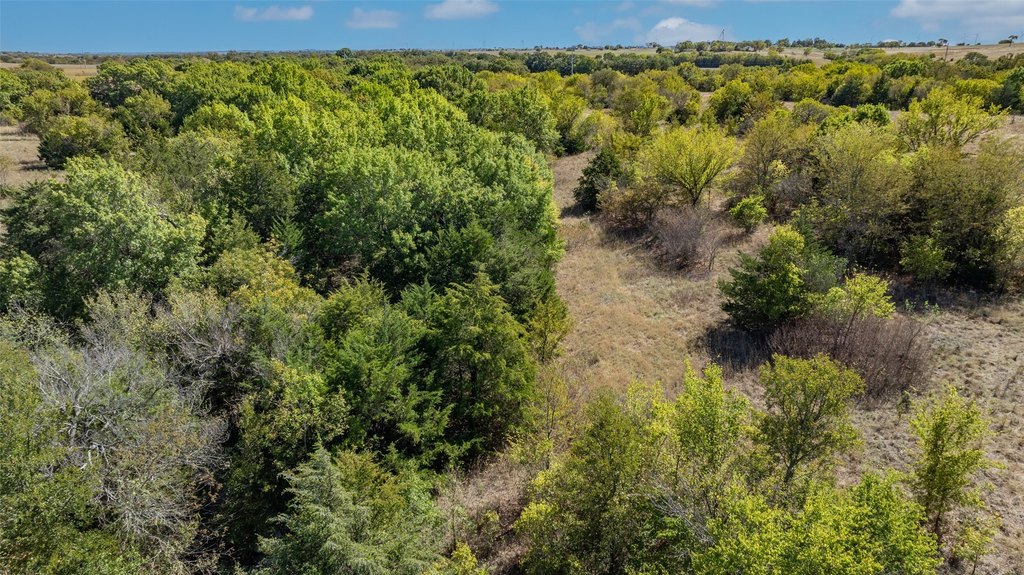
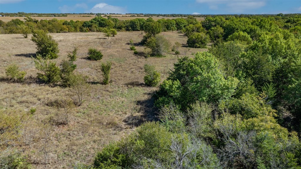
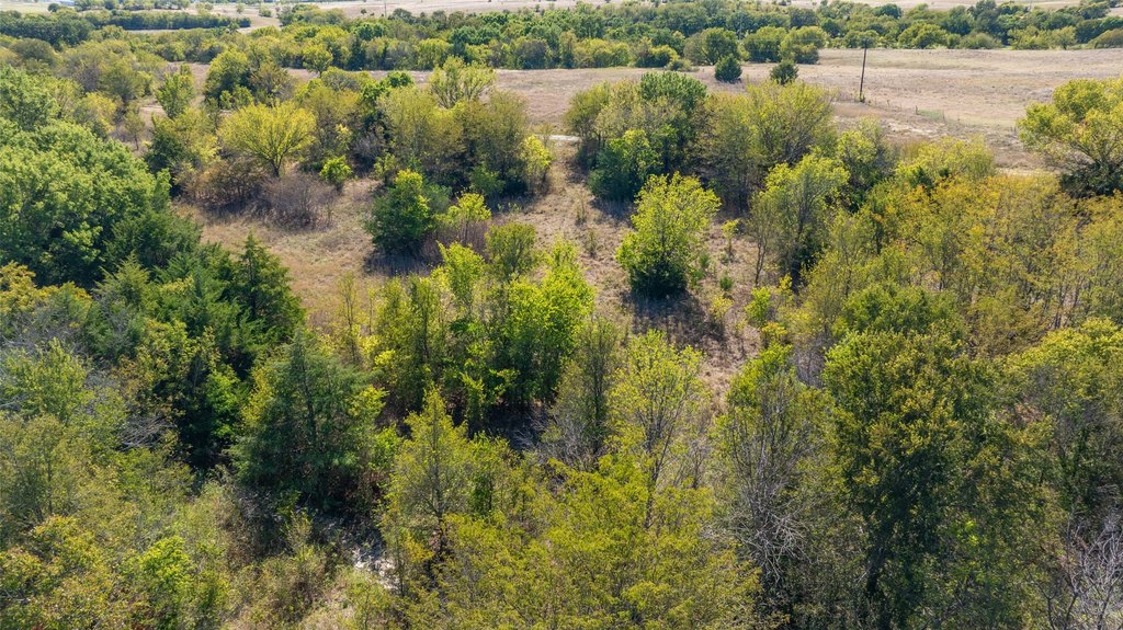
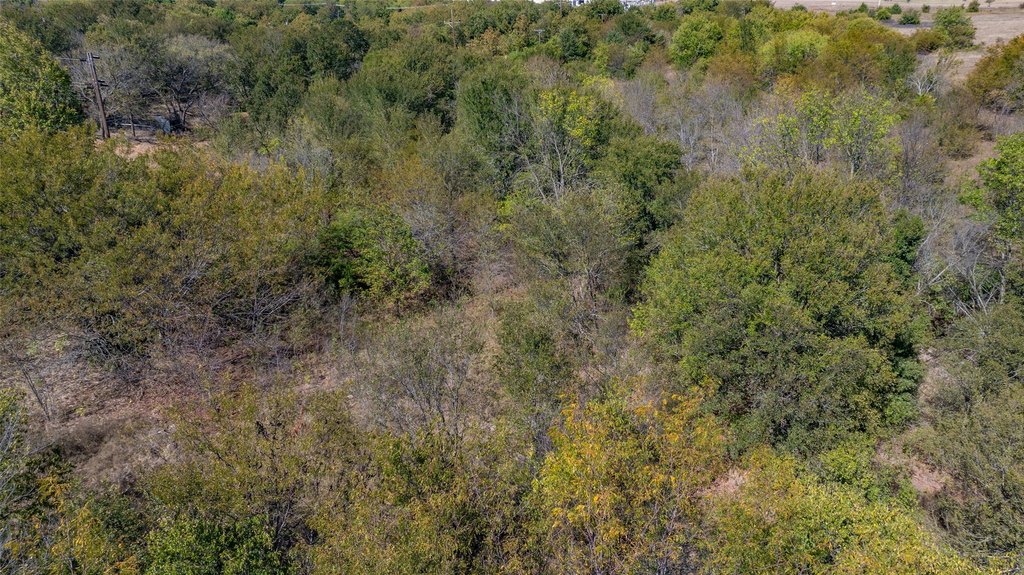
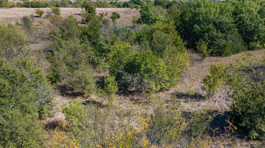
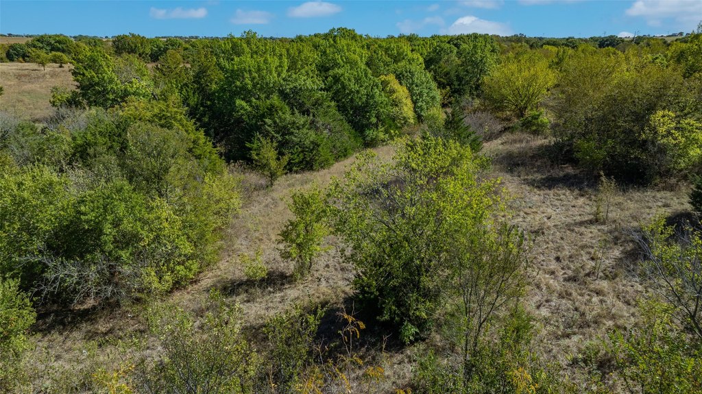
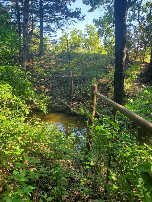
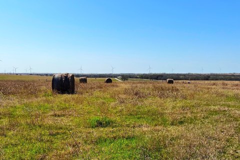
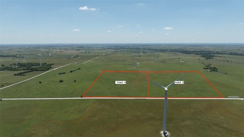
This unzoned land tract spans 53.93 acres and is located just outside Muenster city limits within the Muenster ETJ. The property includes a seasonal creek that cuts through the land in multiple spots, along with areas featuring draws and thicker treed terrain.
The tract has just over 900 feet of Hwy 82 frontage based on mapping sources. A portion of the property lies in a FEMA Flood zone. City utilities are noted to stop nearby at the Dollar Tree-Family Dollar location, and Oncor electric lines are indicated along the northern property line.
For annexation and potential city services, inquiries are directed to Muenster City Mgr, Adam Deweber.
Key Highlights
- 53.93‑acre tract just outside Muenster city limits in the Muenster ETJ with no known restrictions
- Just over 900 ft of Hwy 82 frontage (per mapping sources)
- Seasonal creek runs through the land in multiple spots, with wooded areas and draws
Property Analytics
Location Intelligence
Current Use by Public Records
Residential land & home ...
Similar For Sale Nearby


FAQs
What type of property is this?
Residential land & home lot - Unzoned 53.93-acre tract with Hwy 82 frontage, a seasonal creek, and part of the property in a FEMA Flood zone.
Where is this residential land & home lot located?
The property is located at 53.9 Acres Hwy 82 Muenster, TX.
What is the asking price?
The asking price for this property is $1,019,277.
What are key features of this property?
This property features: 53.93‑acre tract just outside Muenster city limits in the Muenster ETJ with no known restrictions; Just over 900 ft of Hwy 82 frontage (per mapping sources); Seasonal creek runs through the land in multiple spots, with wooded areas and draws


