MS03 Middle Carry Pond, New Portland, ME 04961


- Added:
- Jun 16, 2026
- Days on Market:
- 4
- Last Refresh:
- Jun 19 at 1:06 pm
Property Features for MS03 Middle Carry Pond
General Information
- Property type
- Land
- Property subtype
- Other
- Zoning
- Rural
- Parking features
- Driveway
- Standard status
- Active
- Lot size
- 252.00 Acres
Taxes and HOA fees
- Tax Year
- 2026
- Tax Annual Amount
- 1
Utilities
- Water front features
- Lake
- Water front
- 1
Listing agent Ernest Falcone (207) 612-1488
Listing office Keller Williams Realty 50 Sewall Street, Portland, ME (207) 879-9800
Listing date Jun 16, 2026
Copyright © 2026 Maine Listings. All rights reserved. All information provided by the listing agent/broker is deemed reliable but is not guaranteed and should be independently verified.
HighLights
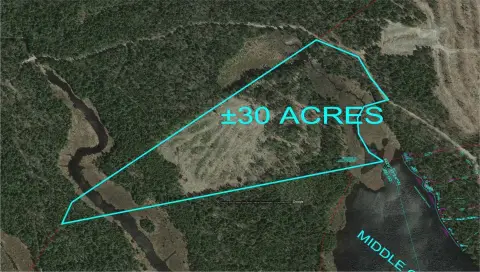
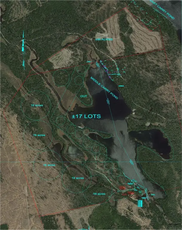
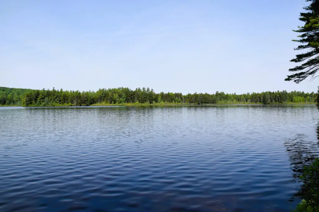
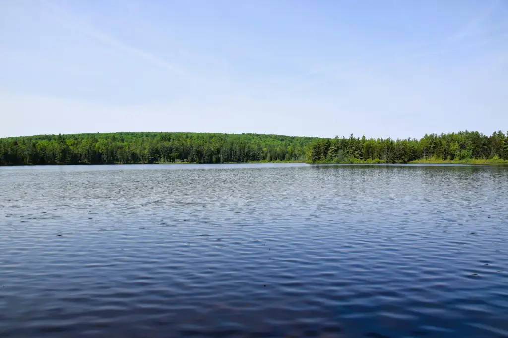
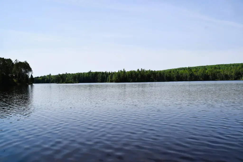
- 252± acres in Maine North Woods with waterfront access to Middle Carry Pond
- Conceptual plan includes waterfront lots on Middle Carry Pond and larger backcountry parcels
- Gated property with privacy, recreation, and development concept on‑site
- Located near the Appalachian Trail and includes proximity to the historic Benedict Arnold Trail
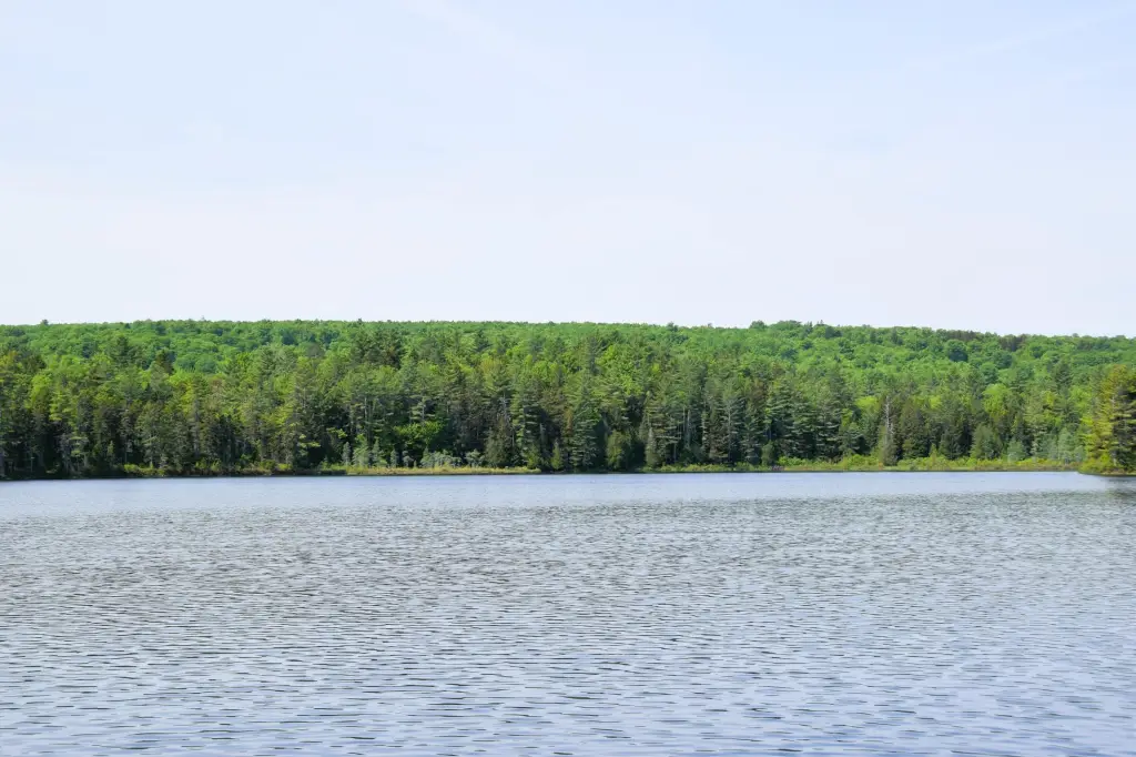
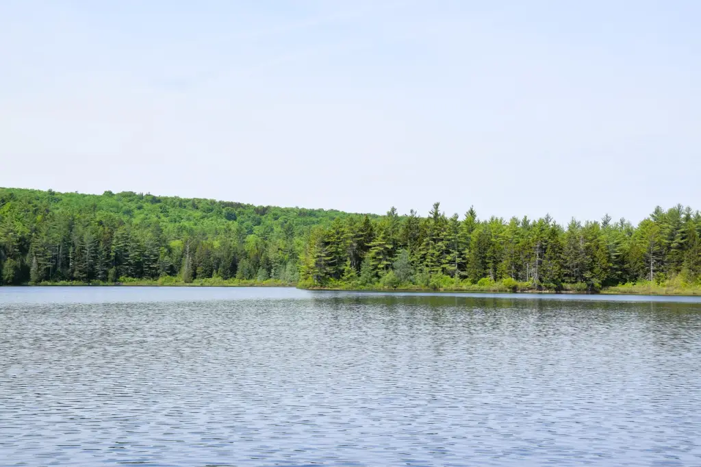
- Waterfront provides access to Middle Carry Pond, described as a fishing destination
Overview
The parcel includes access to Middle Carry Pond, described in the materials as a favorite fishing destination. The land is noted to be surrounded by state-owned forestland, and the remarks place it near the Appalachian Trail and the historic Benedict Arnold Trail. Wildlife is referenced in the remarks, including deer and moose, reflecting the area’s recreational character.
For buyers evaluating land subdivision or recreation-focused ownership, the configuration and conceptual lot approach may appeal to those seeking waterfront and interior acreage within a protected, forest-adjacent environment. The combination of pond access, surrounding state land, and a gated entry can support private use while preserving space for a mix of waterfront lots and larger parcels, subject to the buyer’s development and permitting plans.
Current Use by Public Records
Map
- City
- New Portland
- County
- Somerset
- State
- Maine
- Longitude
- -70.0886
- Latitude
- 45.0341