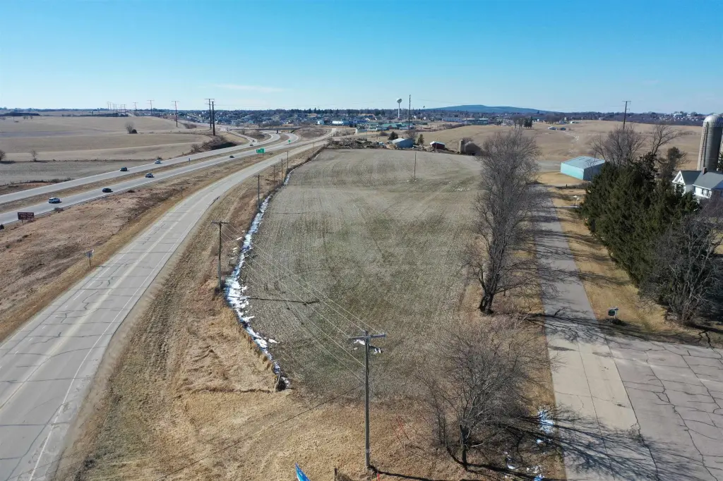
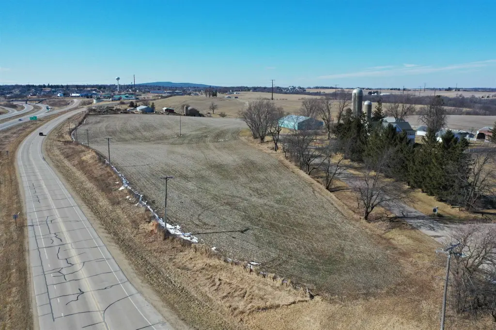
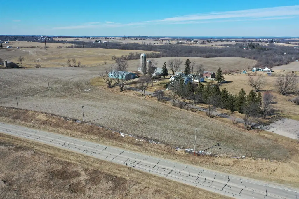
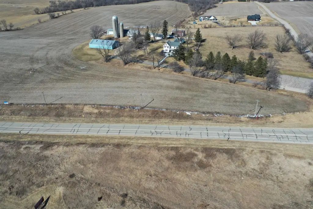
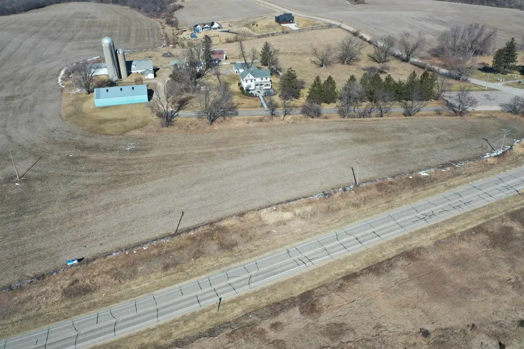
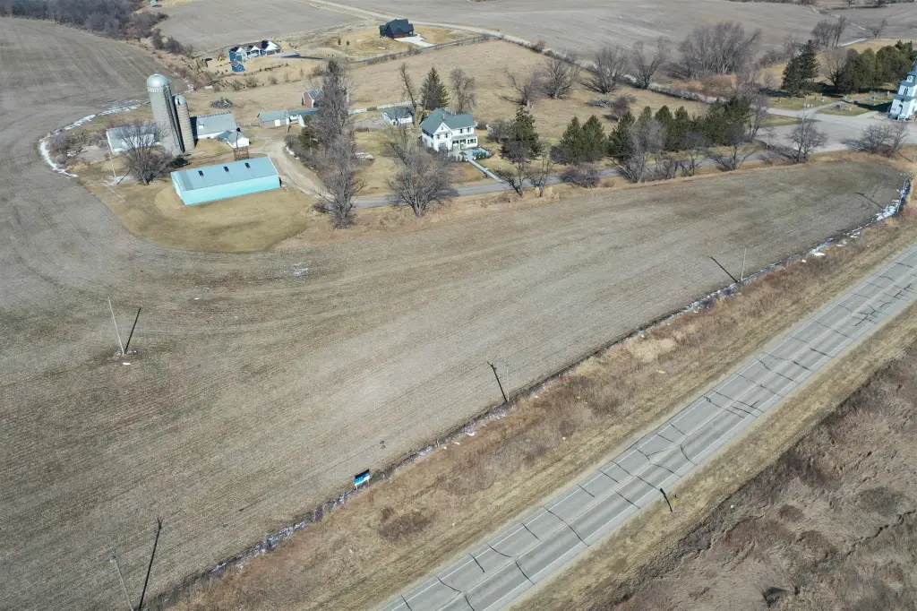
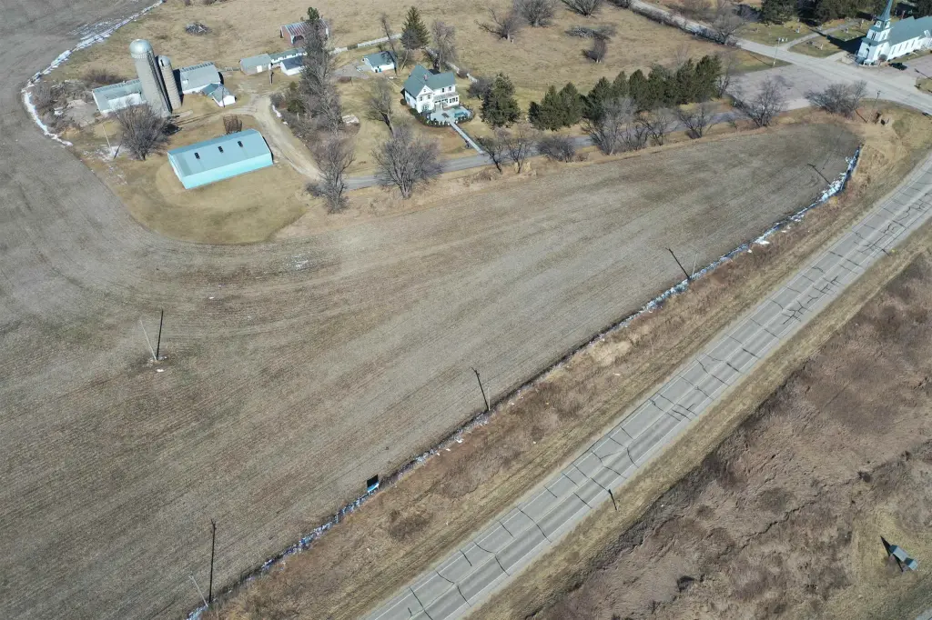
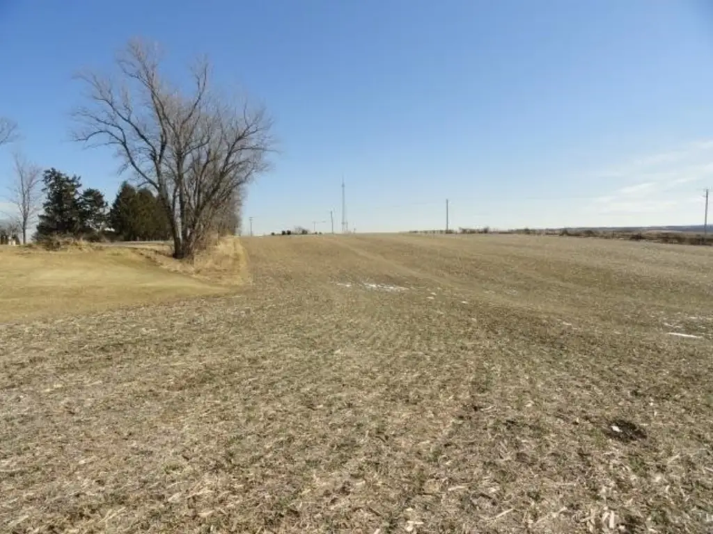
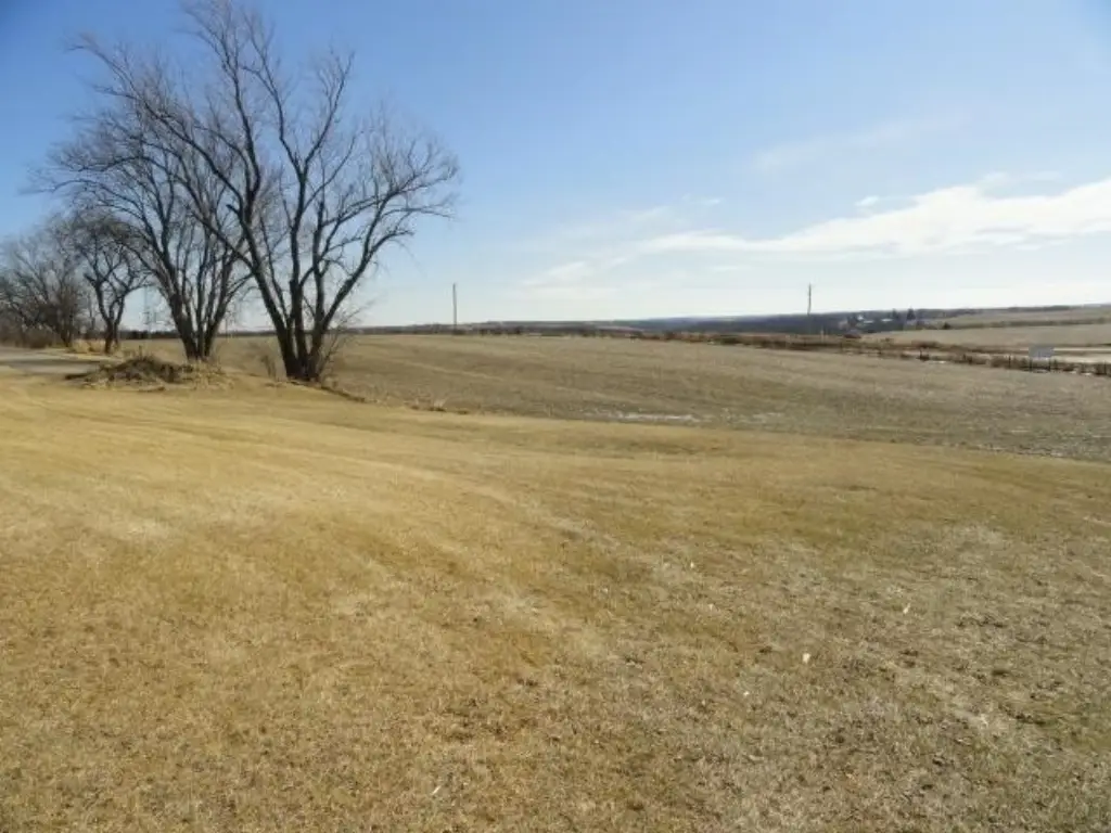
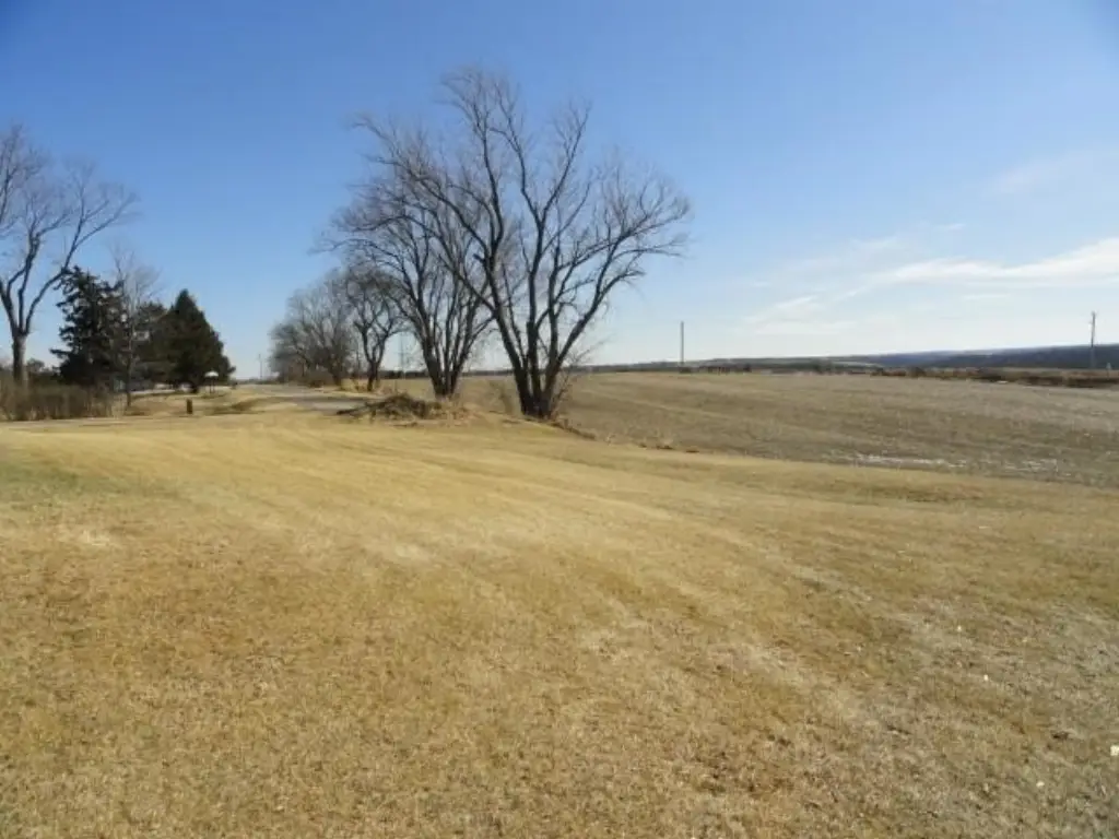
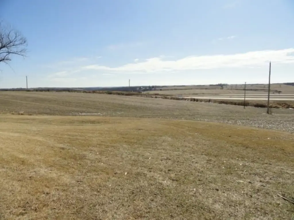
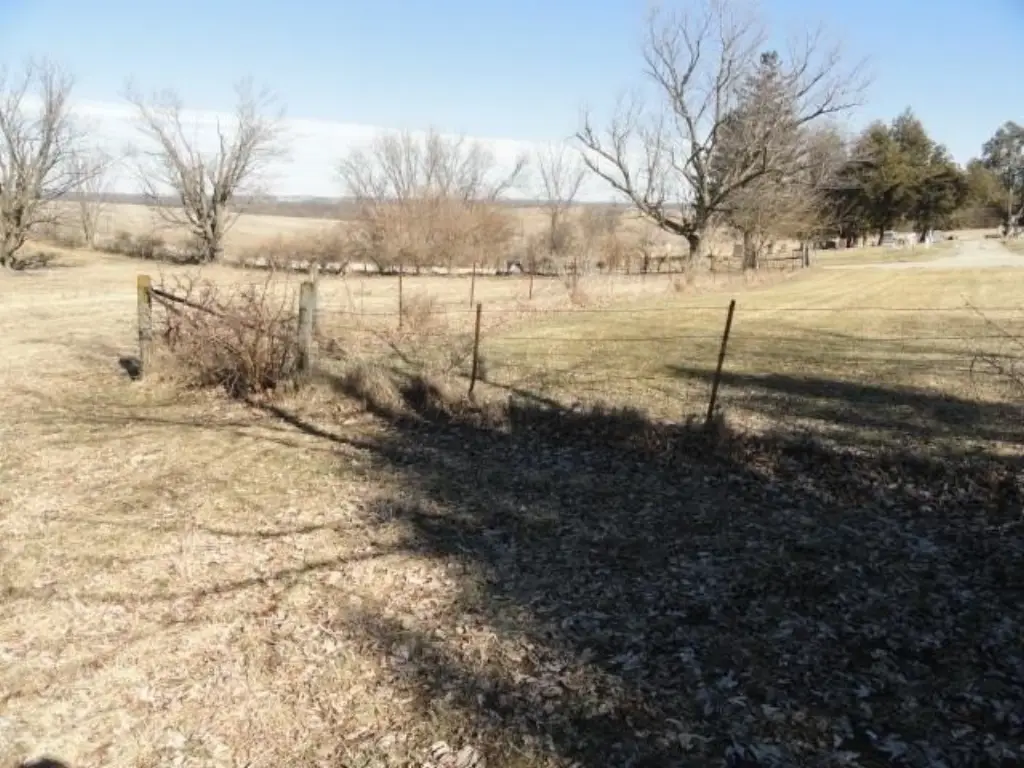
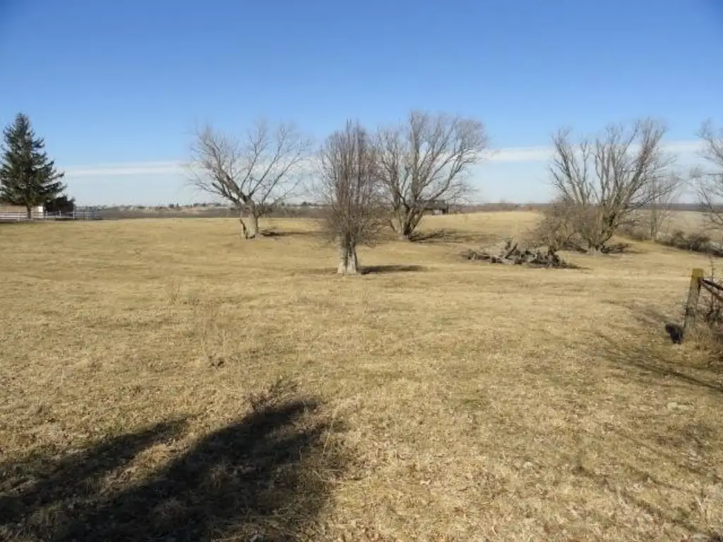
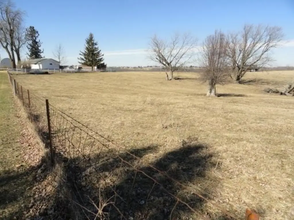
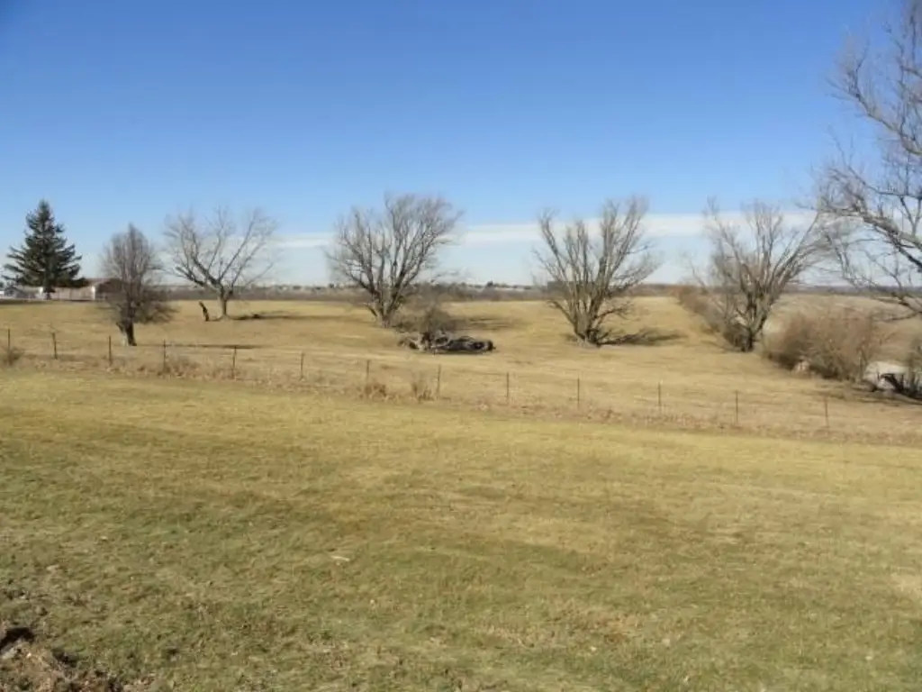
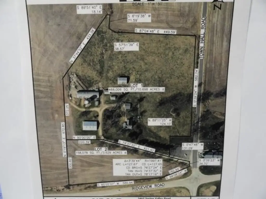
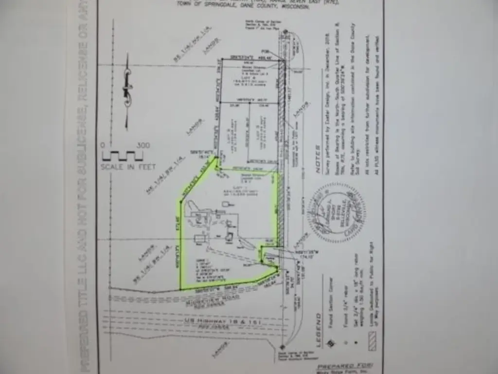
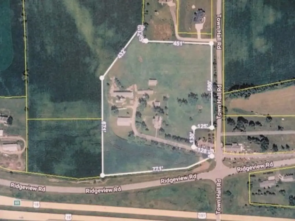
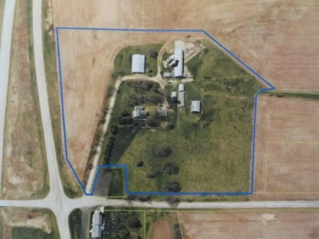
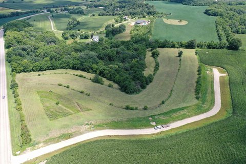
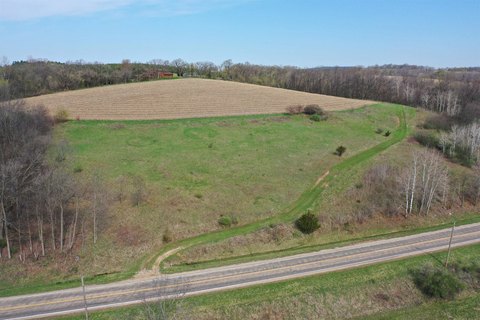
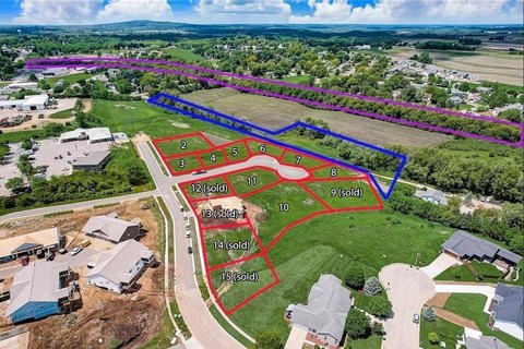
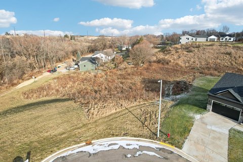
Agricultural Land with Development
3.15 Acres Ridgeview Rd lot 2 Mount Horeb, WI 53572

For Sale
$850,000
LAND - Mount Horeb, WI
Lot Size3.15 Acres
Days on Market53
Property Features for 3.15 Acres Ridgeview Rd lot 2
General Information
Property type
Land
Property subtype
Other
Zoning
Ag
Standard status
Active
APN
0000-000-0000-0
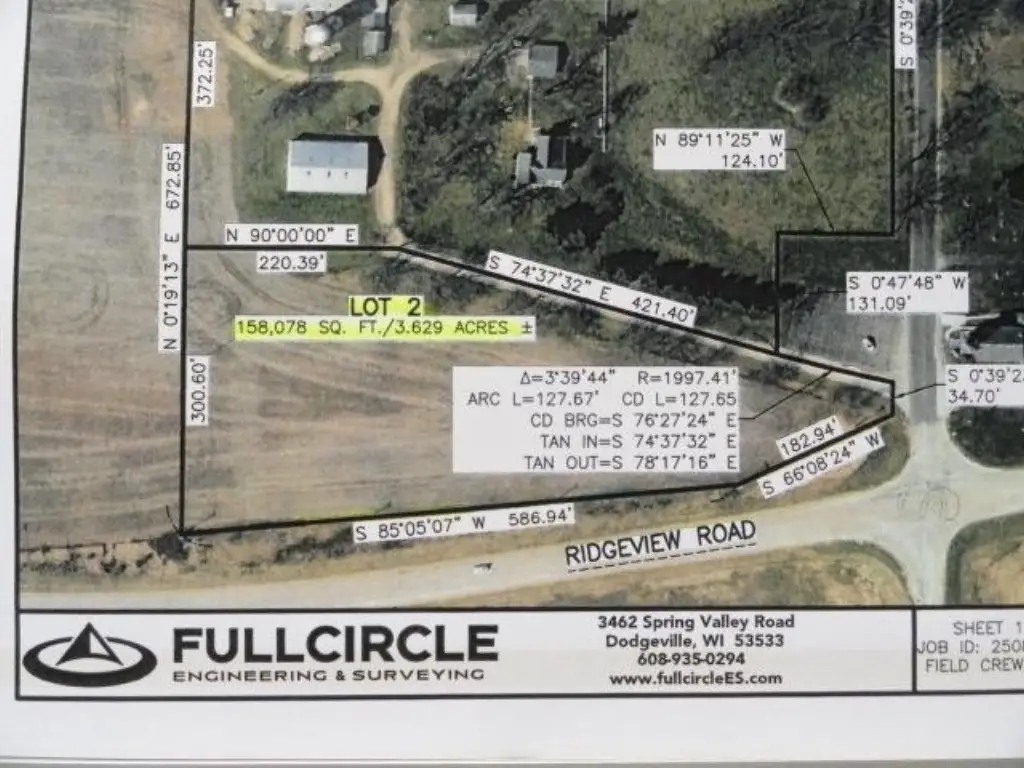
Lot size
3.15 Acres
Taxes and HOA fees
Tax Year
2026
Tax Description
3.15 Ac Sec 8
Utilities
Sewer type
None
Water source
None, Well Needed
Listing Agency:
RE/MAX Preferred
(608) 393-3330
Listed By:
Scott Schroeder · License #5913790
(608) 617-2727
Added: Jun 8
Changed: Jul 27
Last Checked: Jul 30 at 6:06AM
MLS# 2025344
Copyright © 2026 REALTORS® Association of South Central Wisconsin. All rights reserved. All information provided by the listing agent/broker is deemed reliable but is not guaranteed and should be independently verified.
Investment Insights
Based on property information with market context.
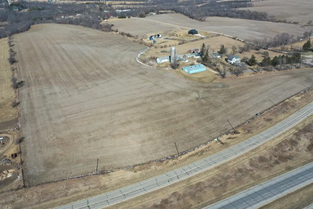
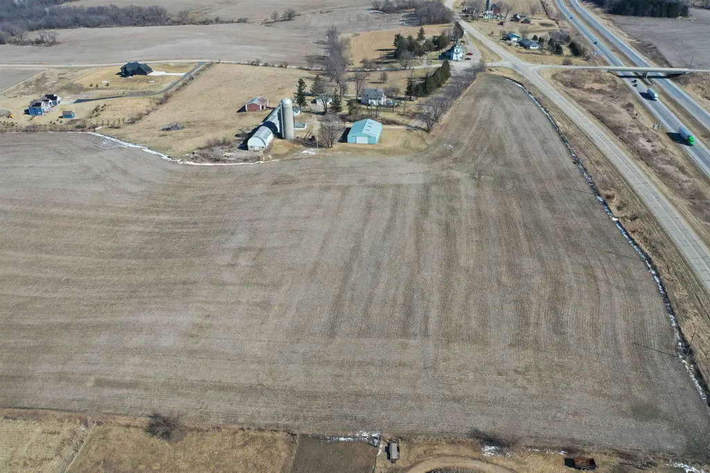
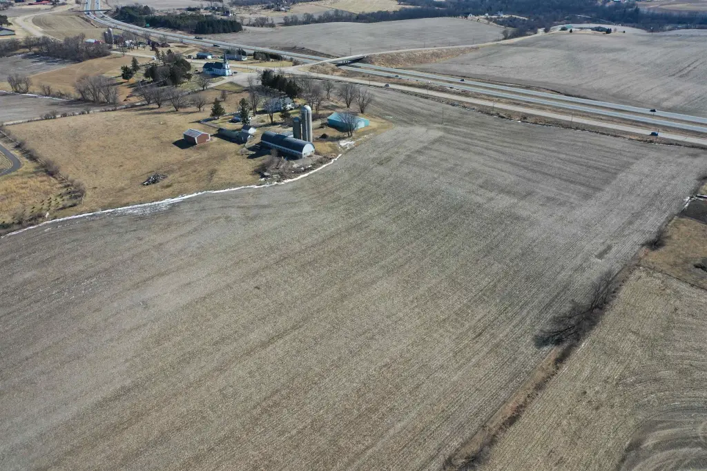
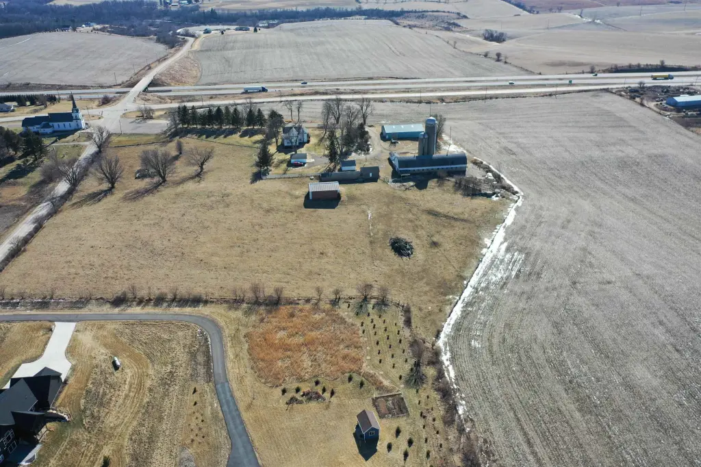
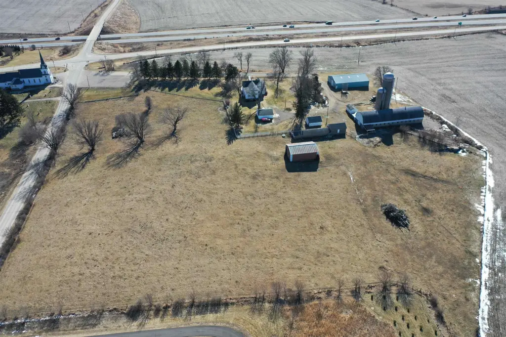
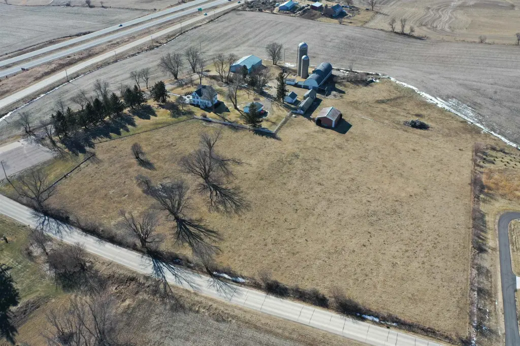
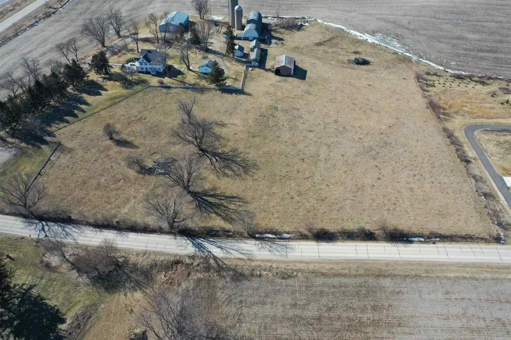
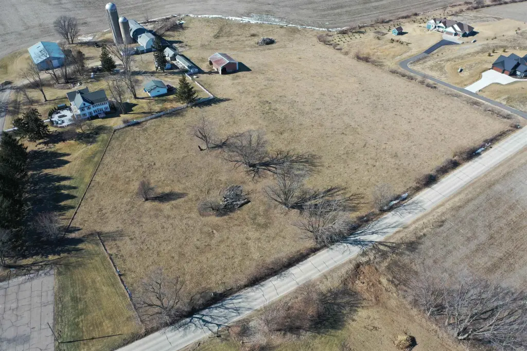
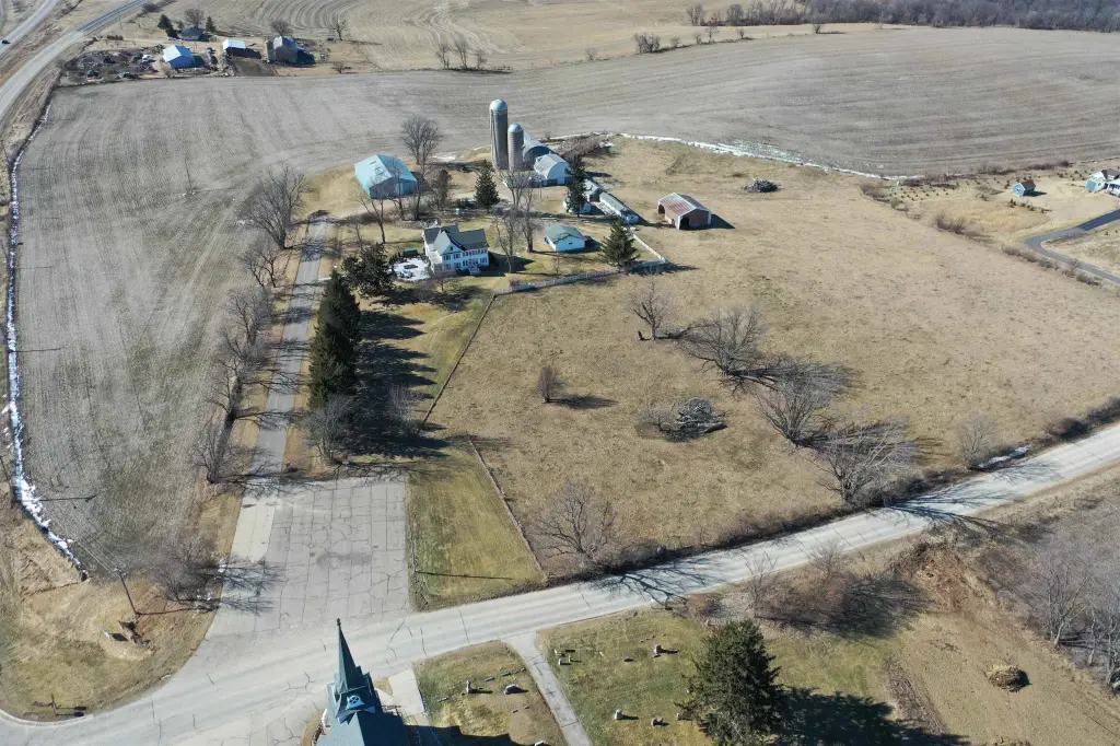
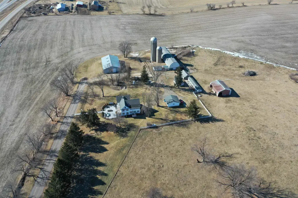
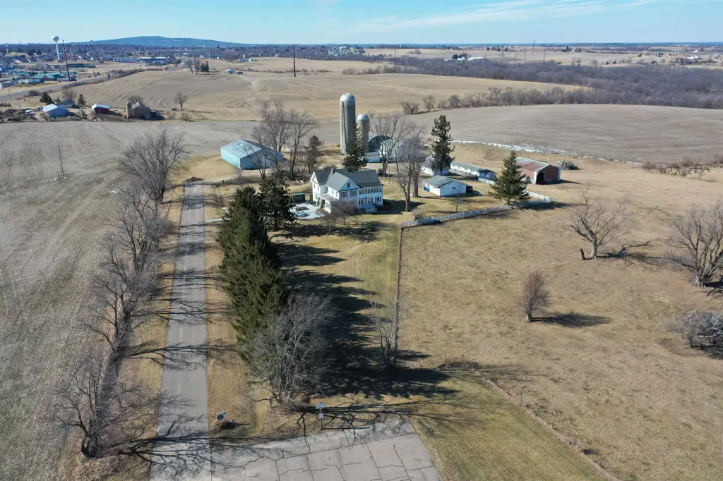
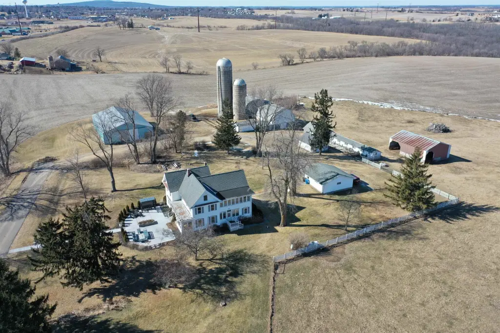
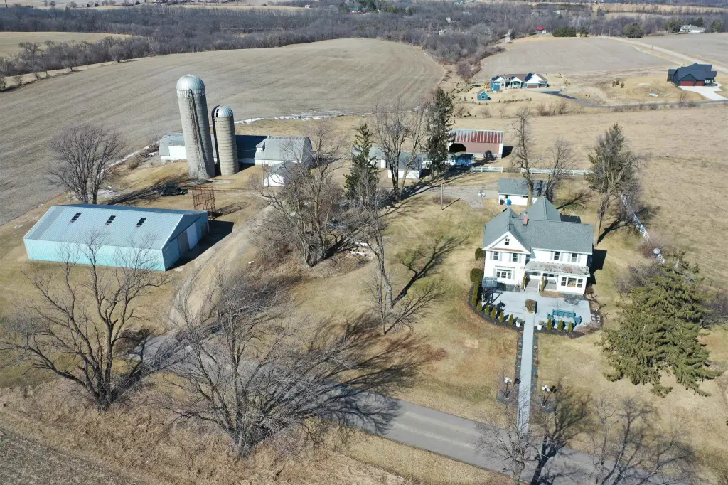
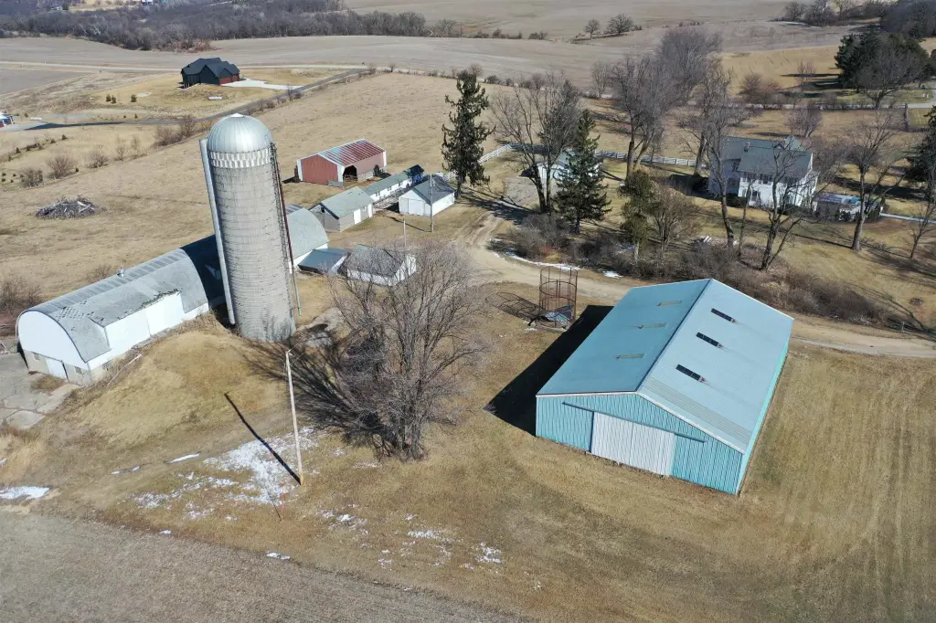
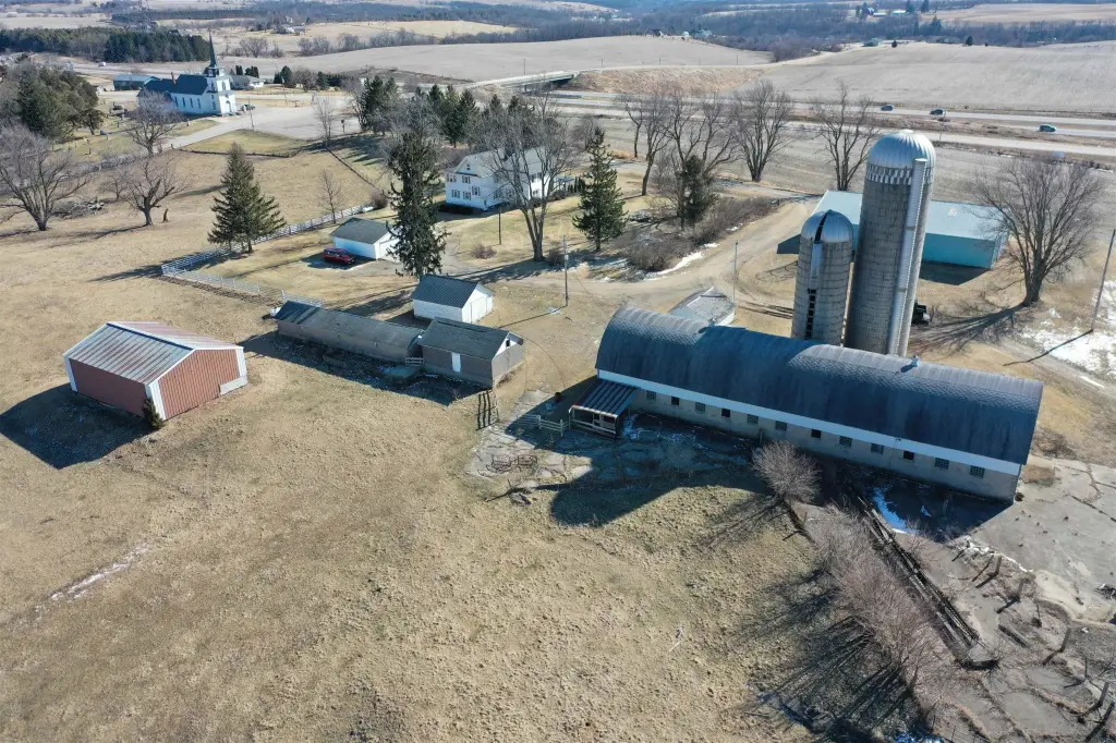
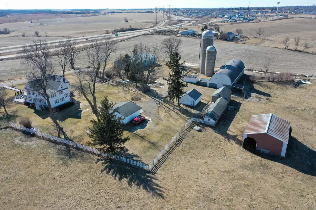
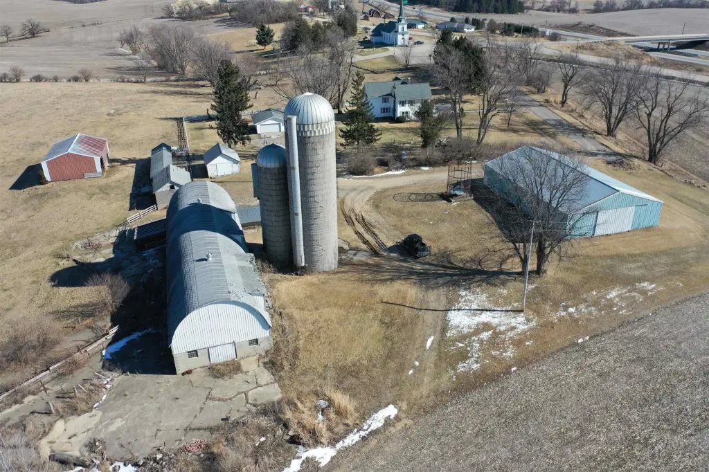
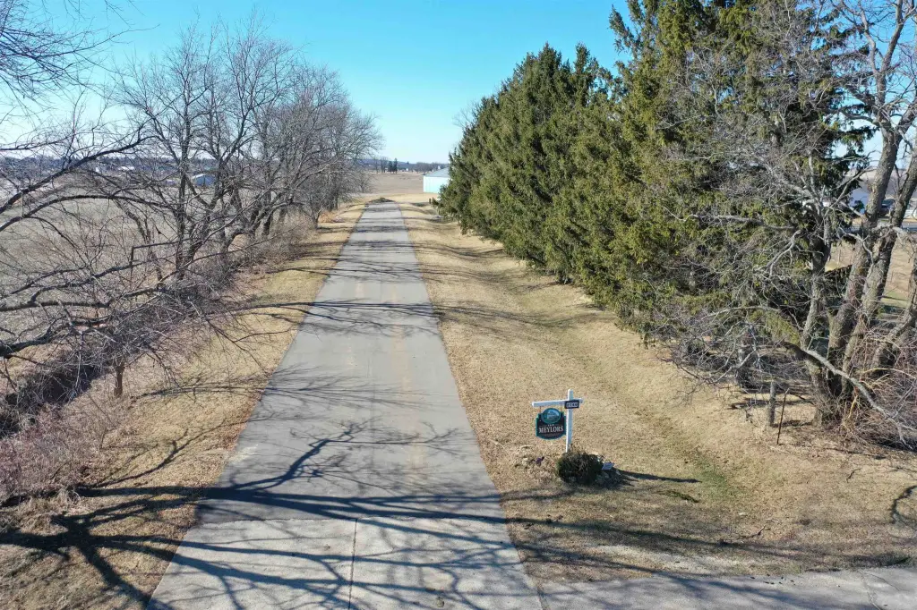
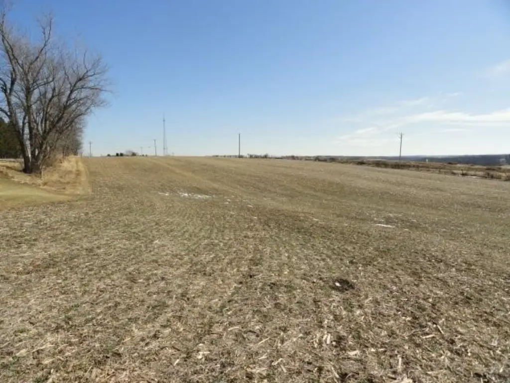
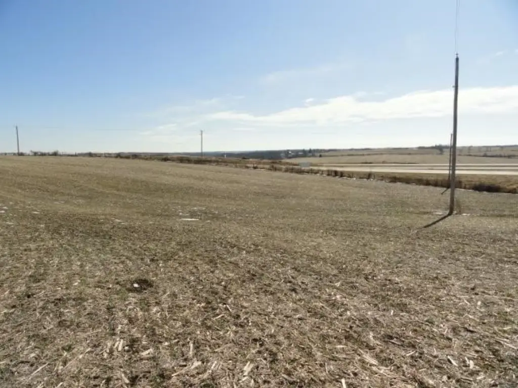
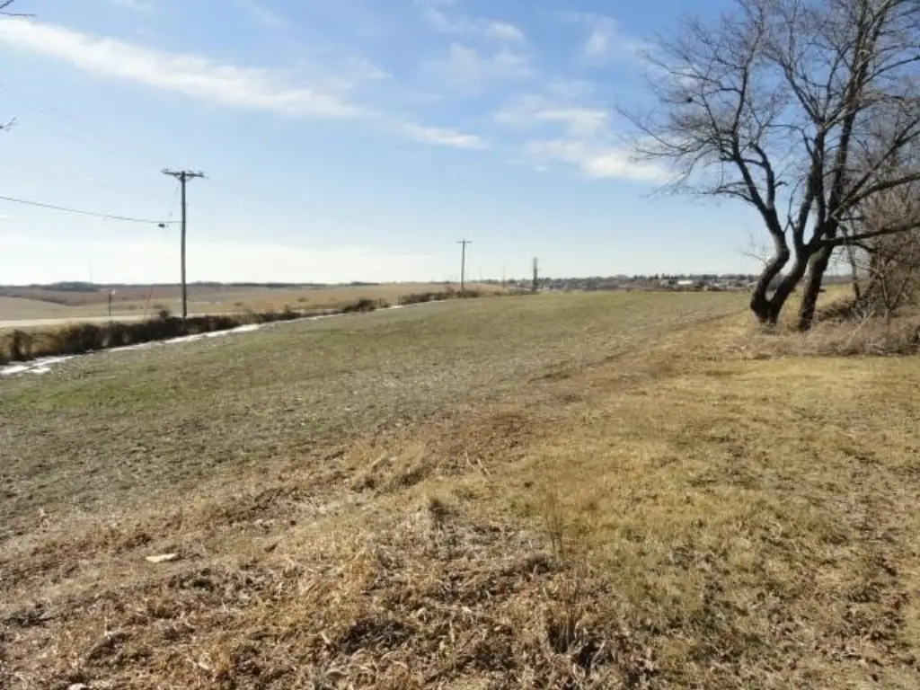
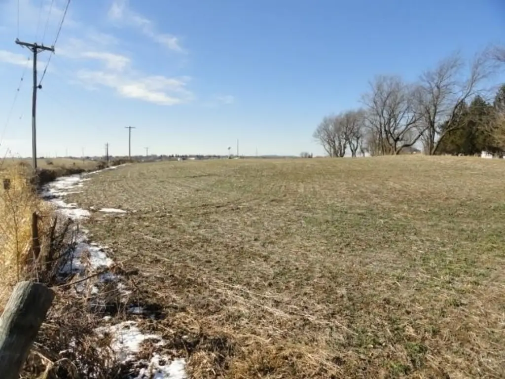
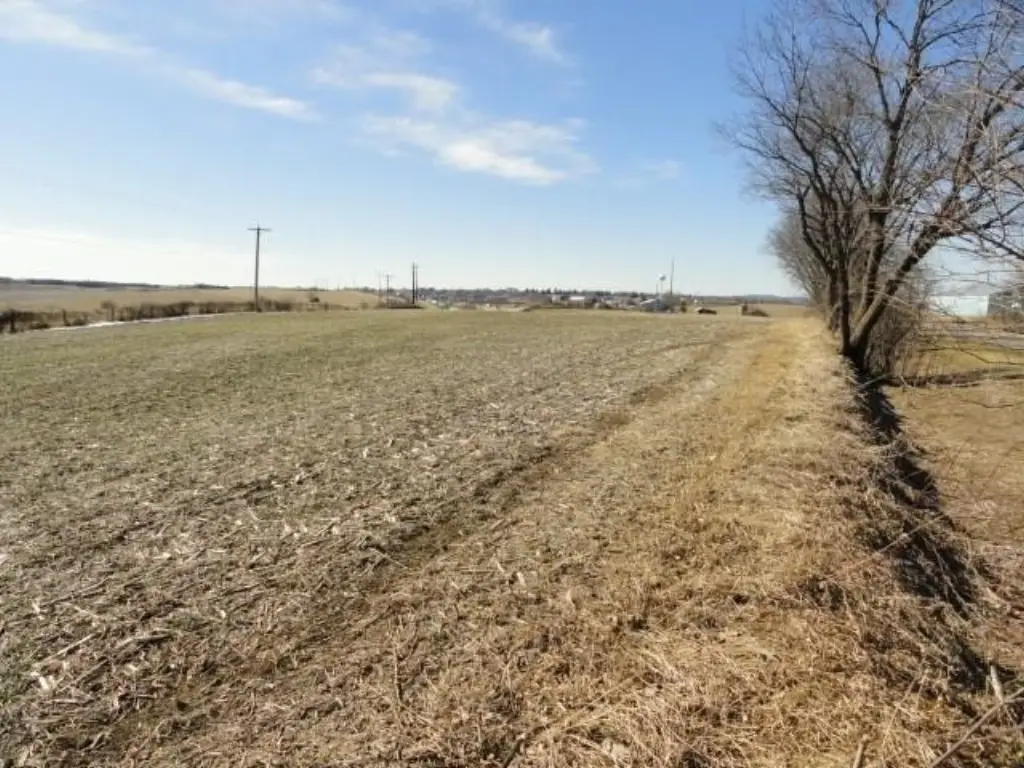
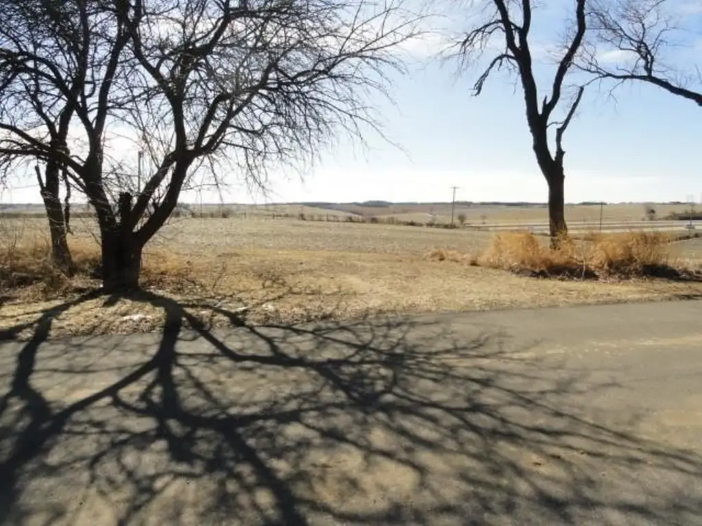
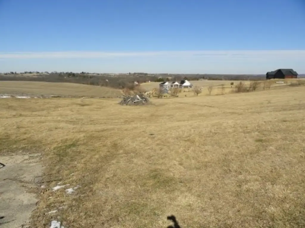
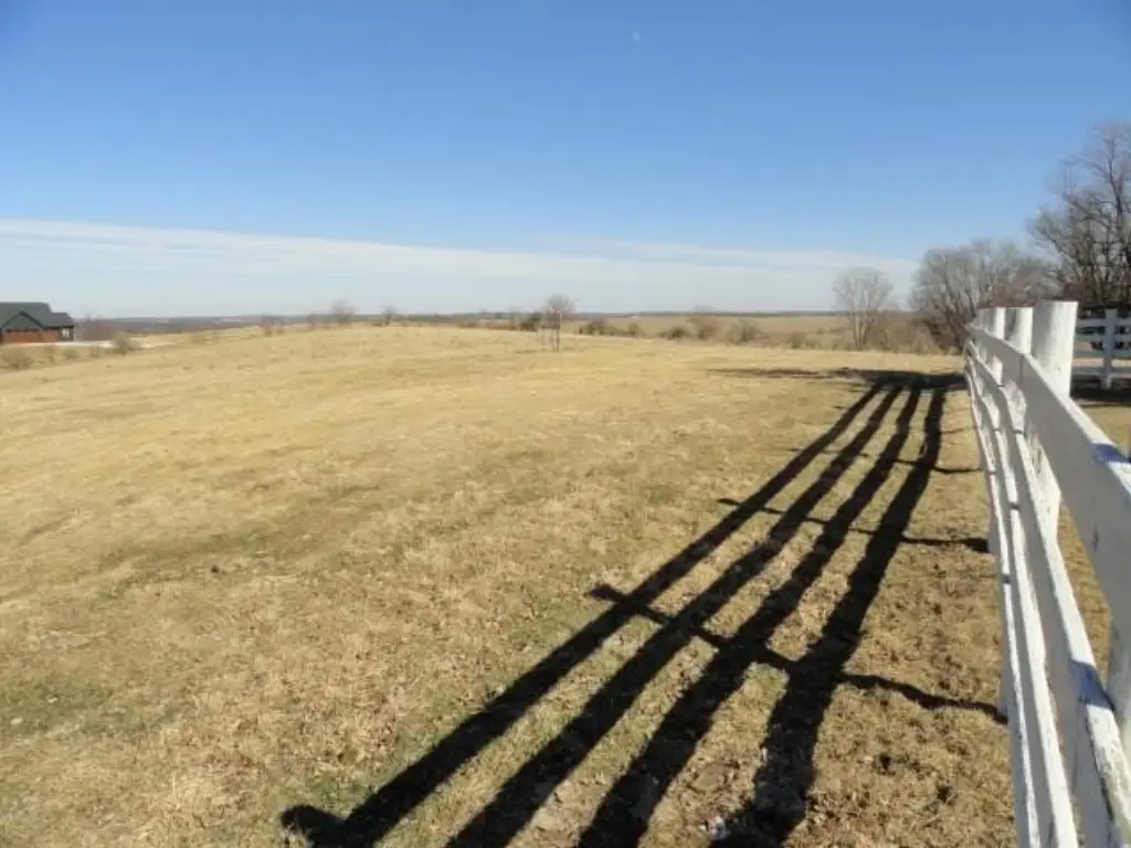
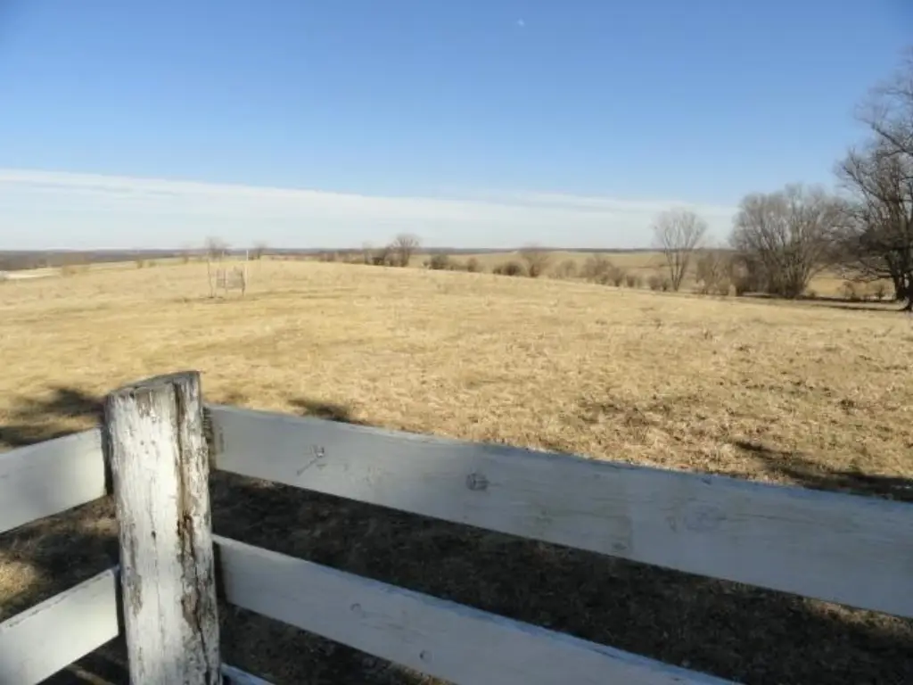
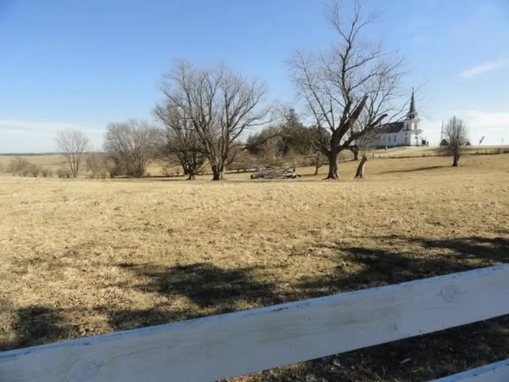
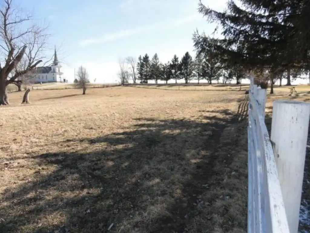
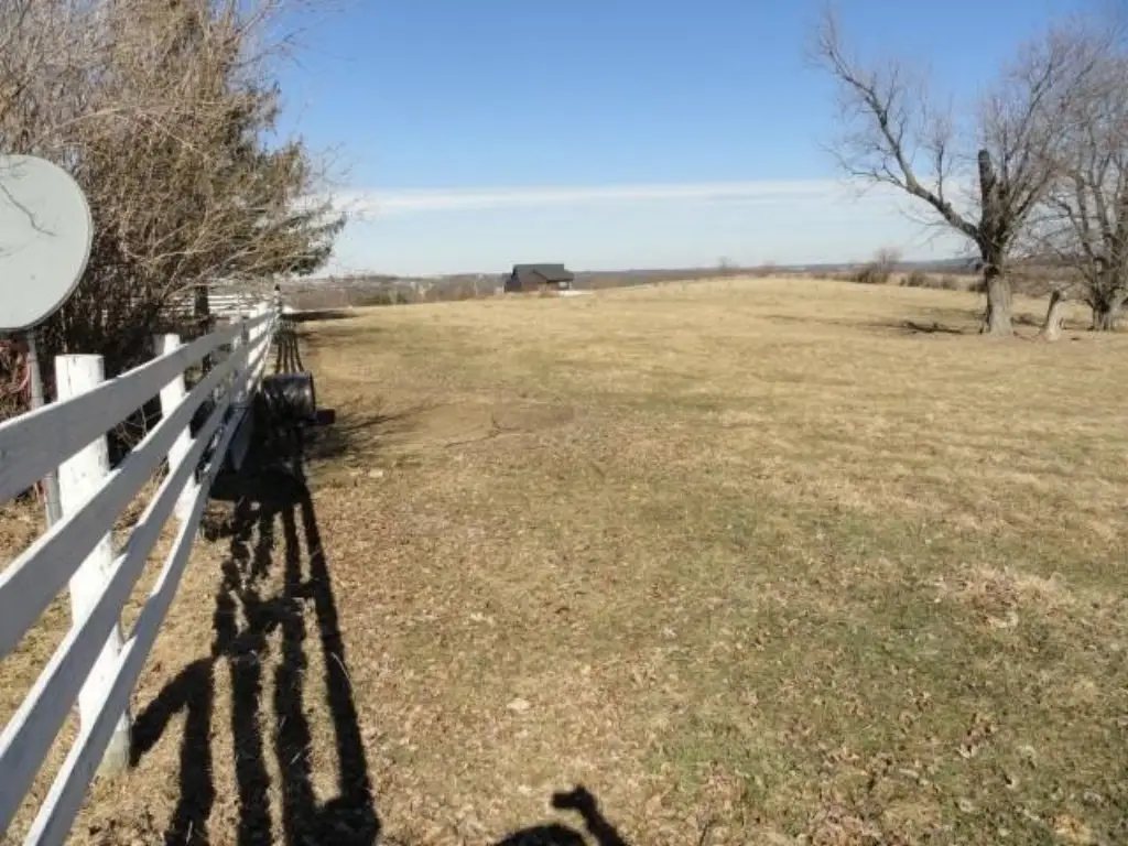
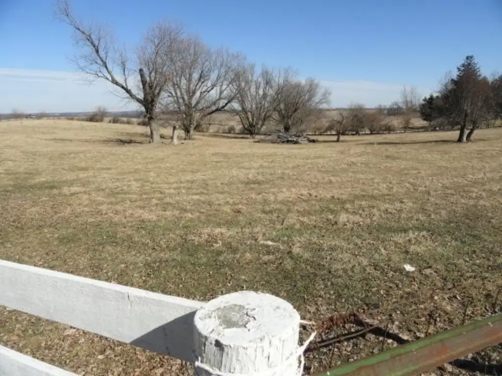
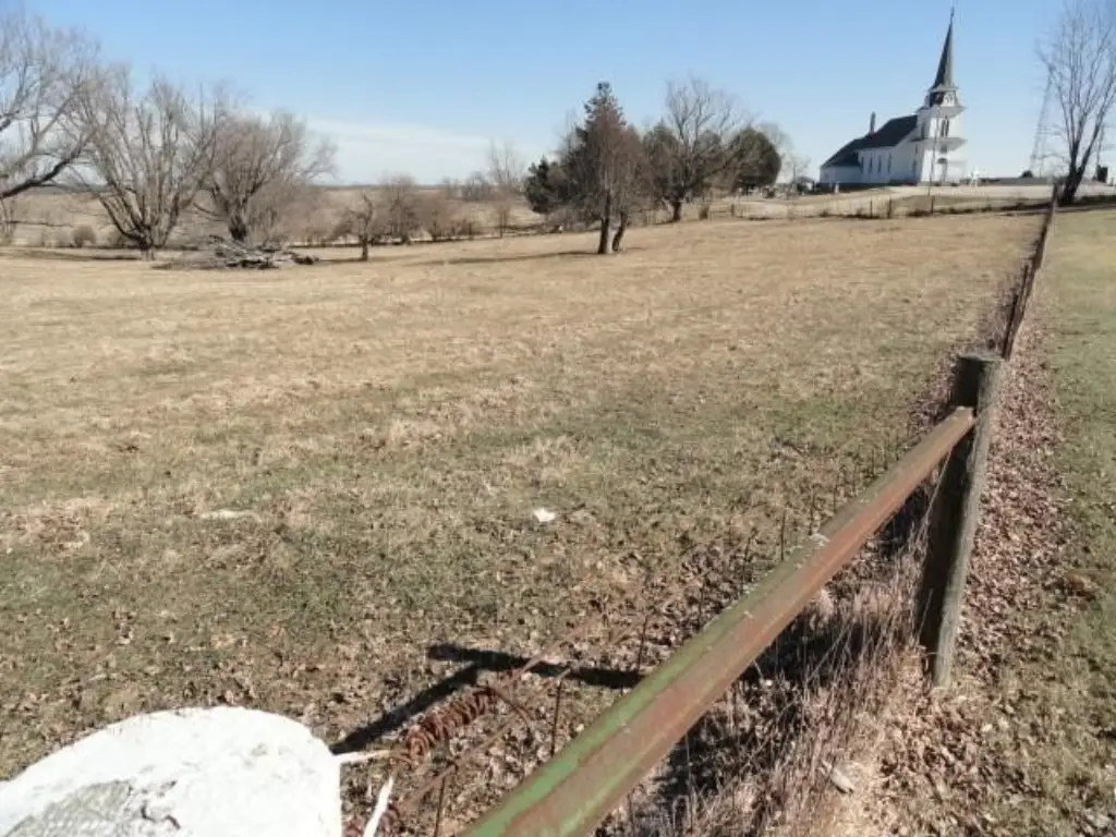
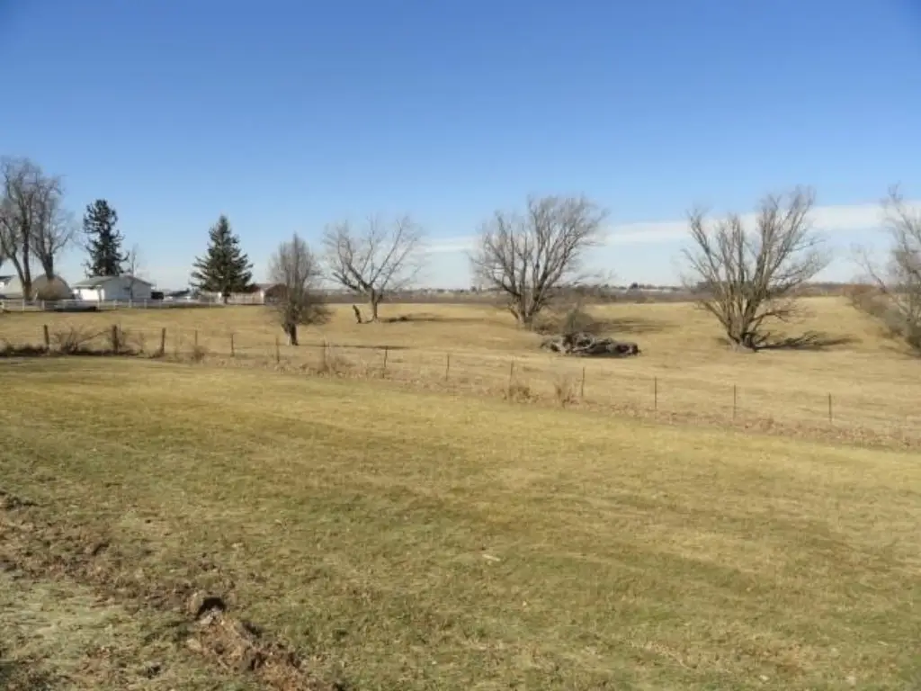
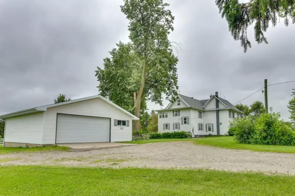
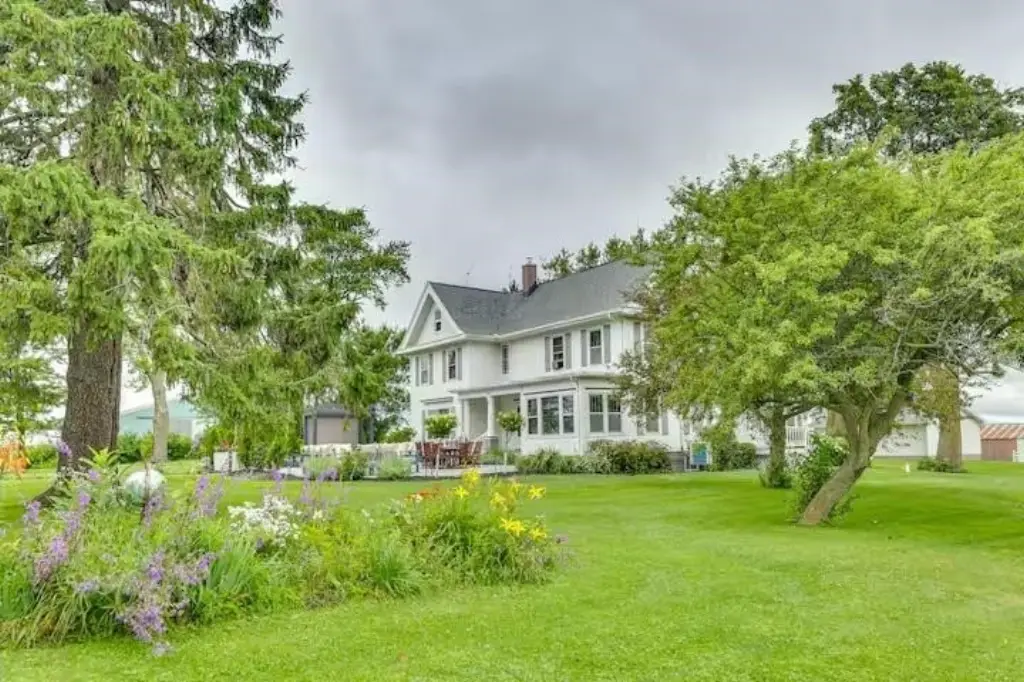
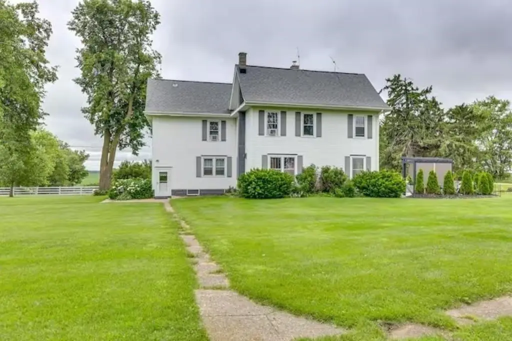
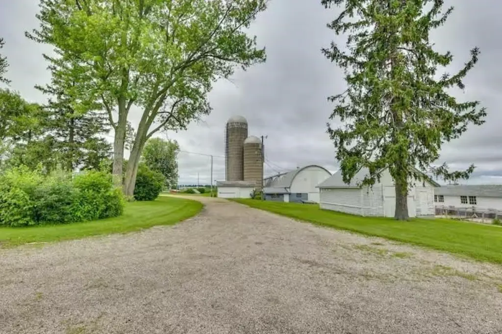
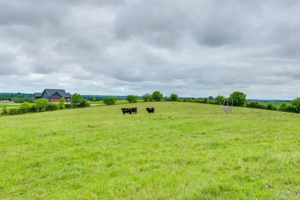
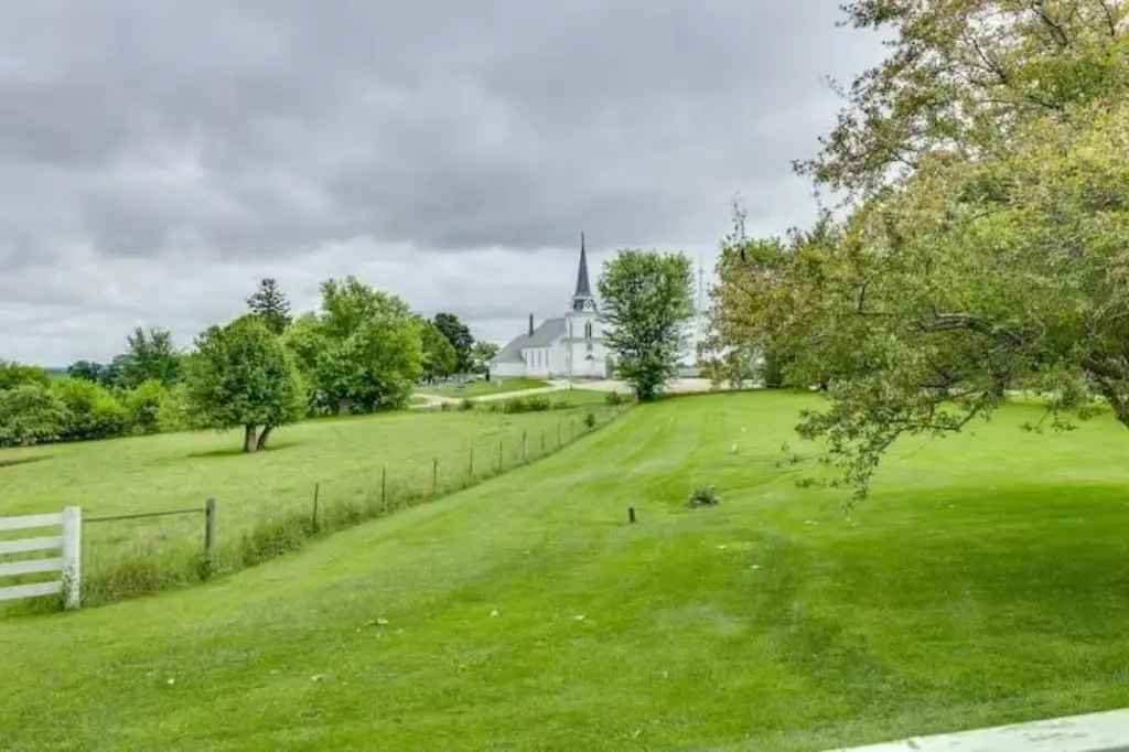
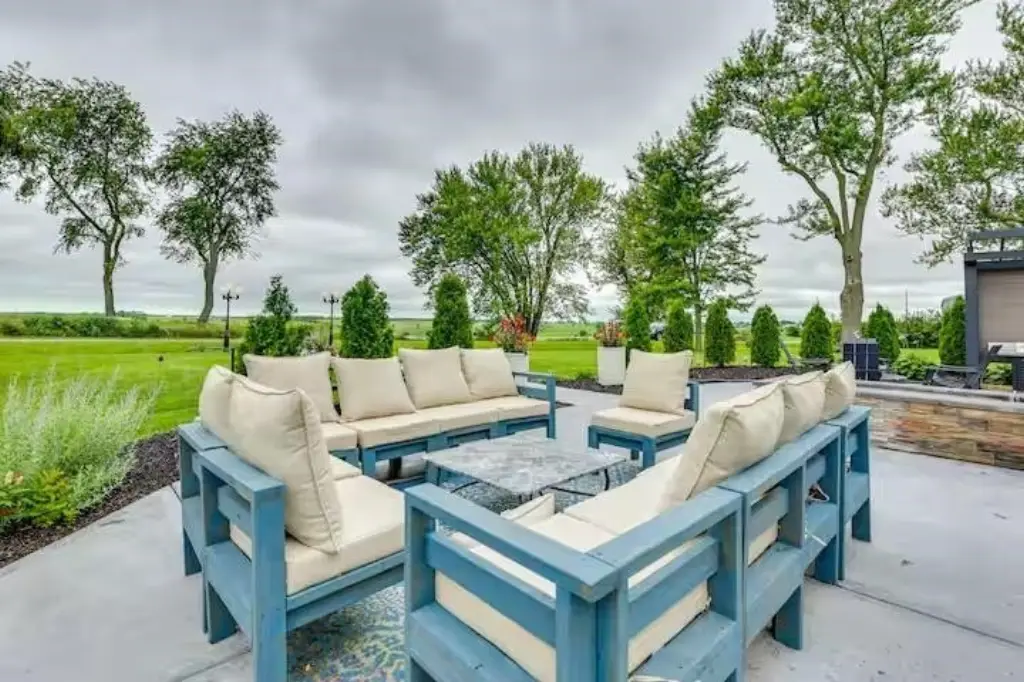
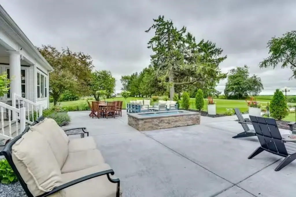
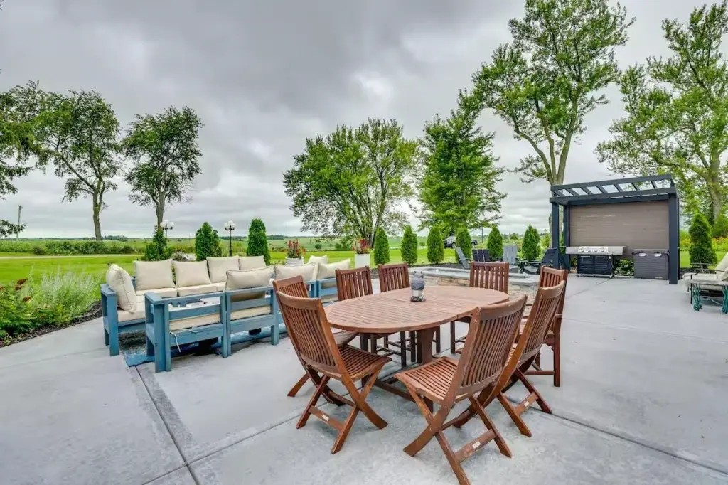
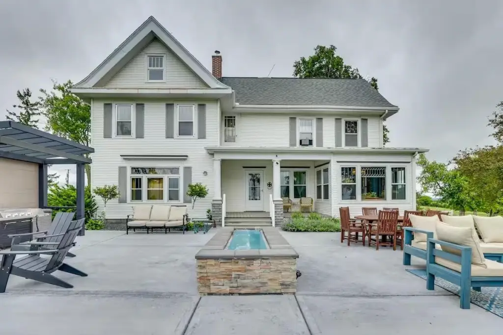
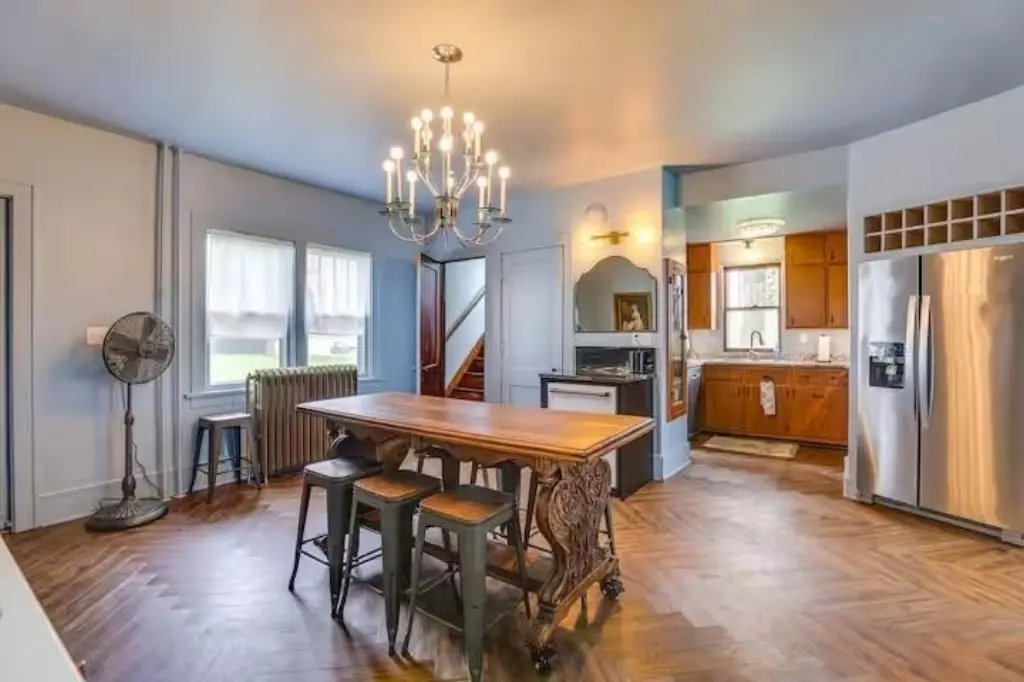
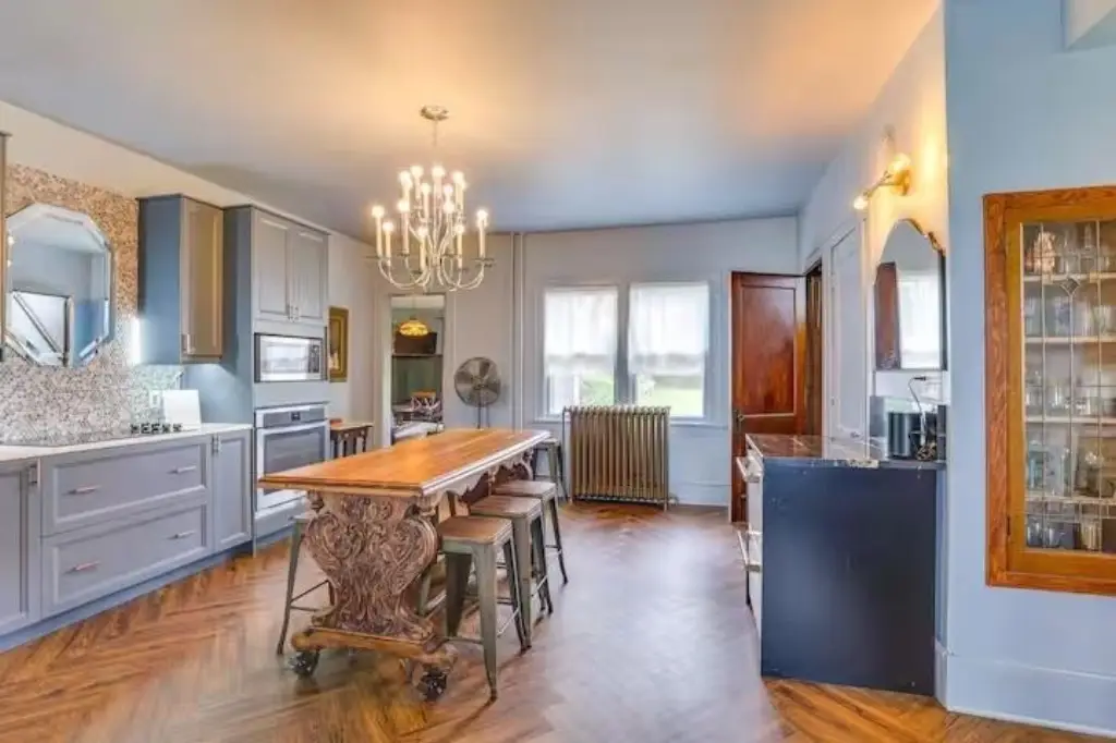
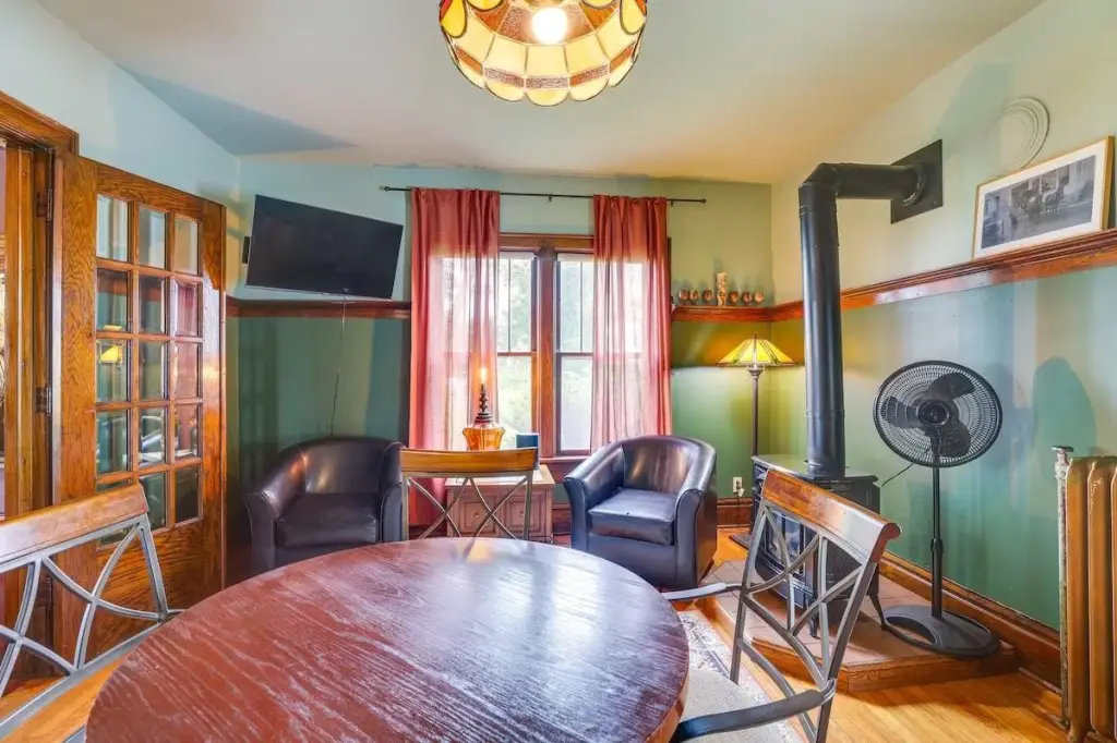
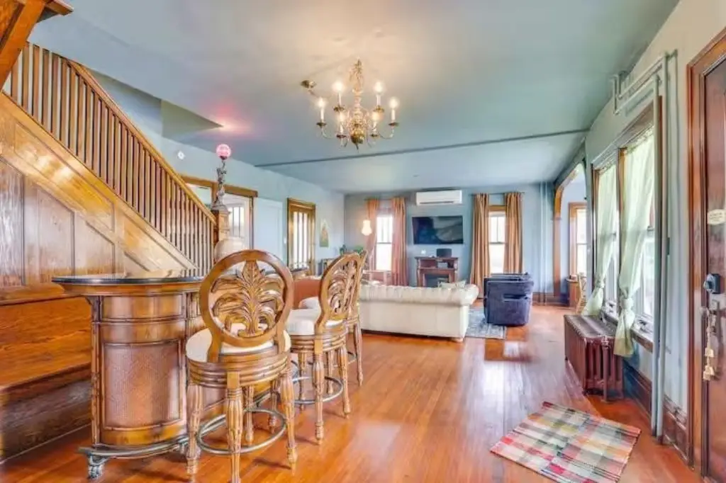
This offering is a 3.15-acre parcel zoned Ag. The property is part of an additional 109-acre tract that includes a home, outbuildings, and crop land, with this 3-acre portion described as having flexibility for either commercial use or continued crop land.
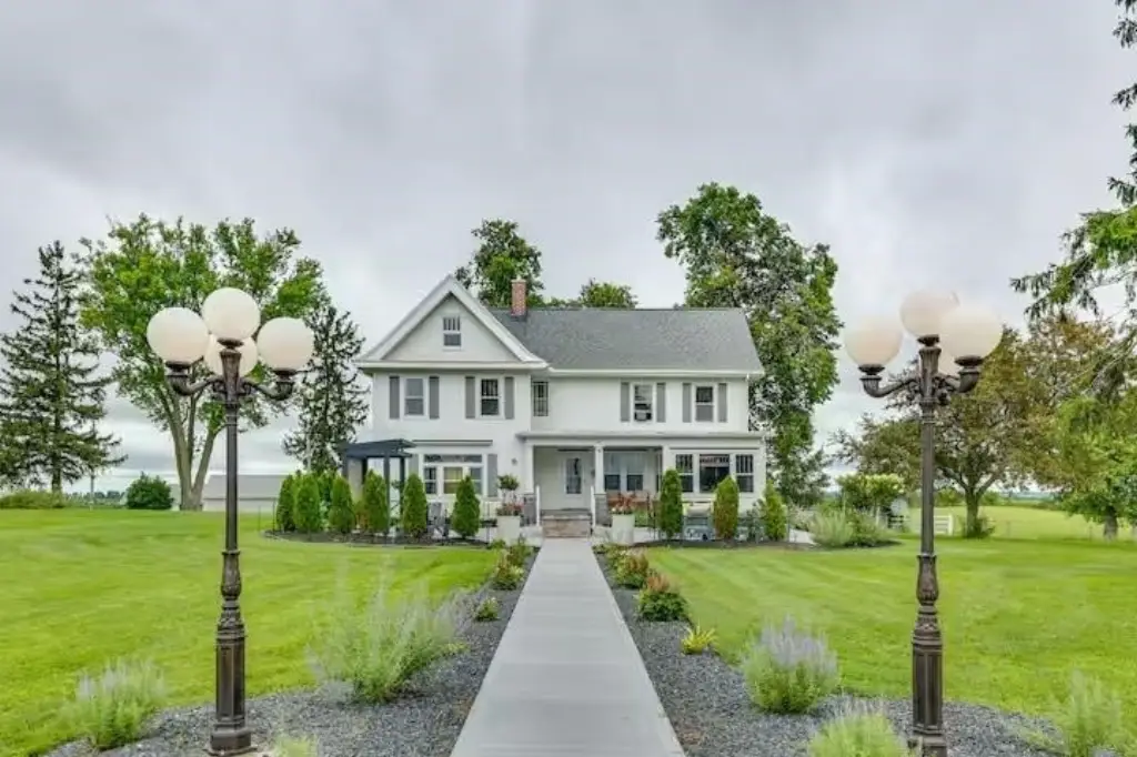
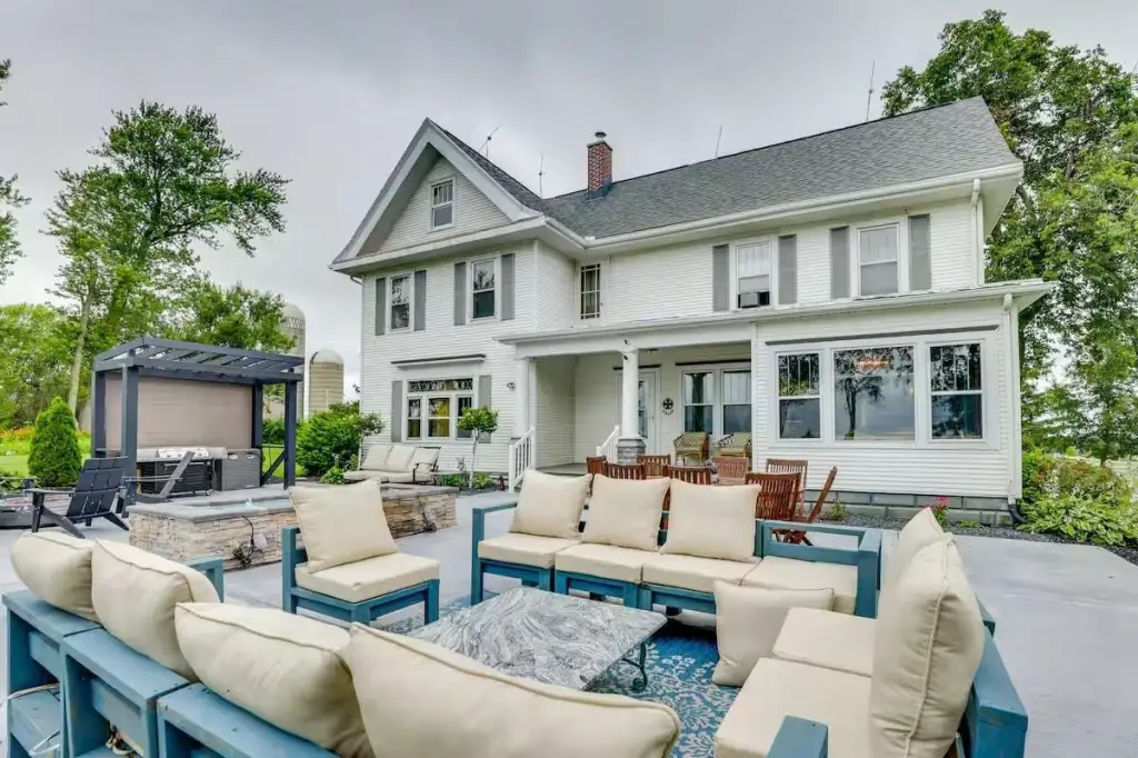
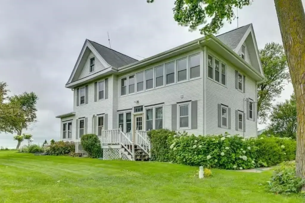
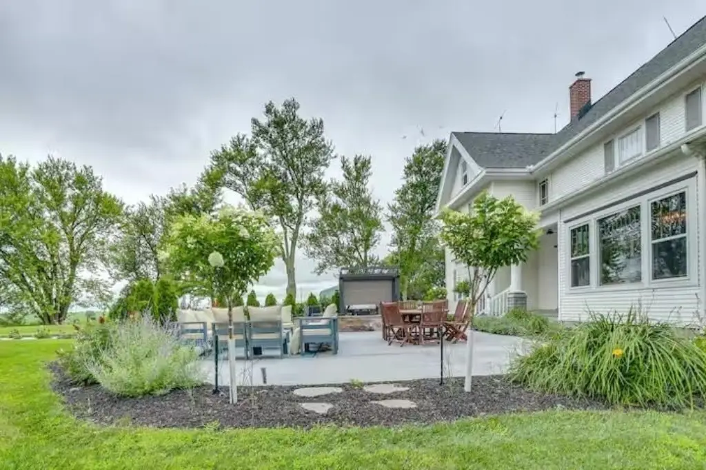
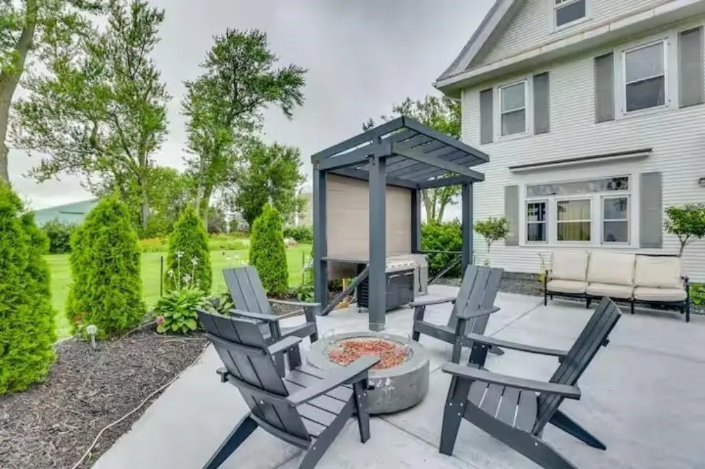
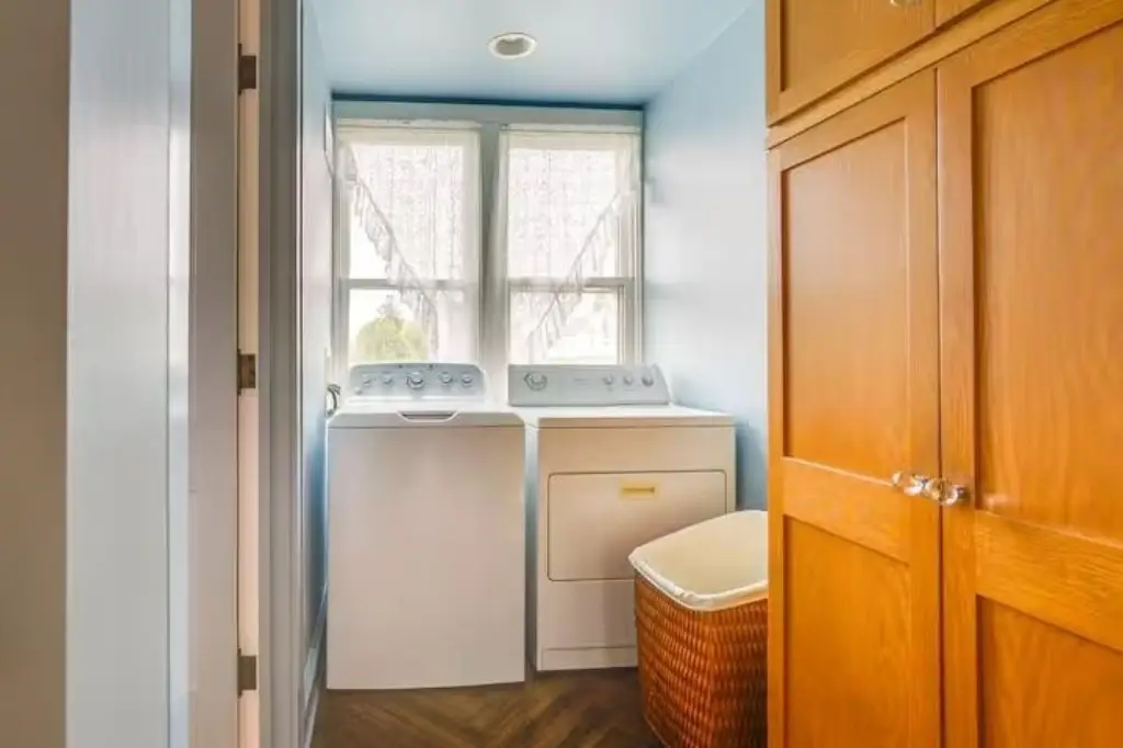
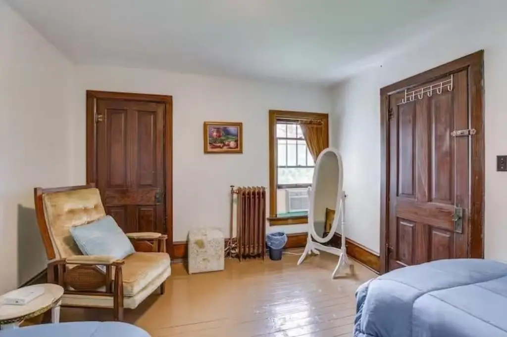
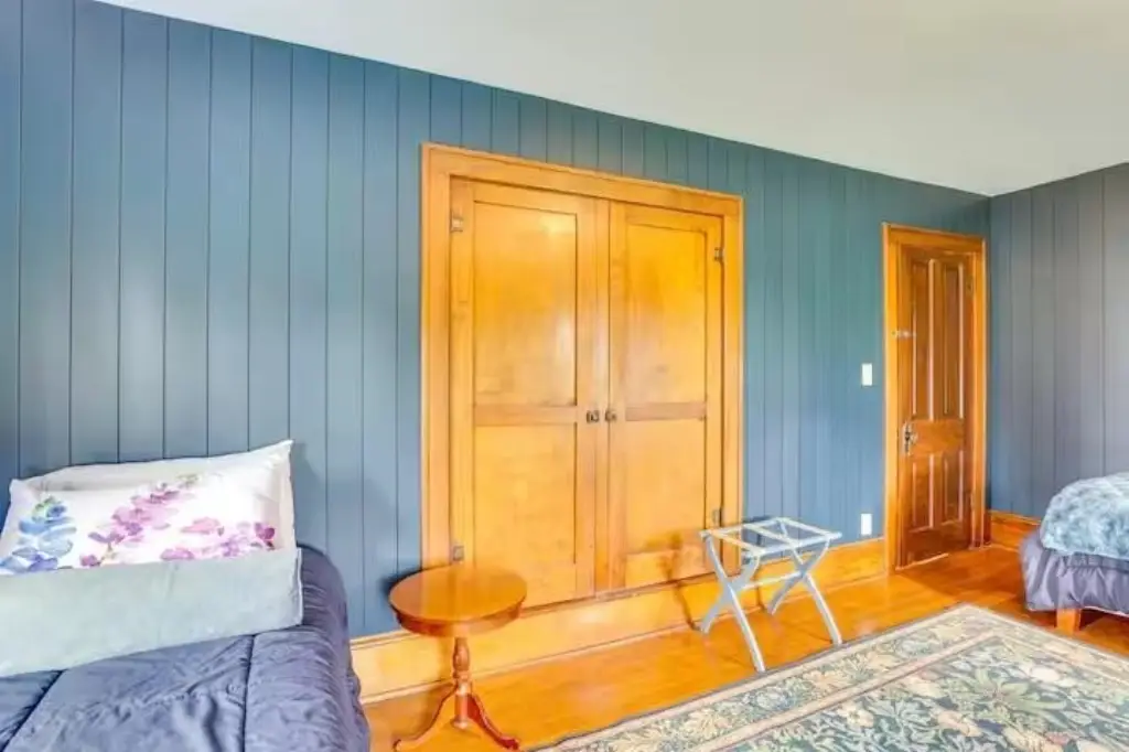
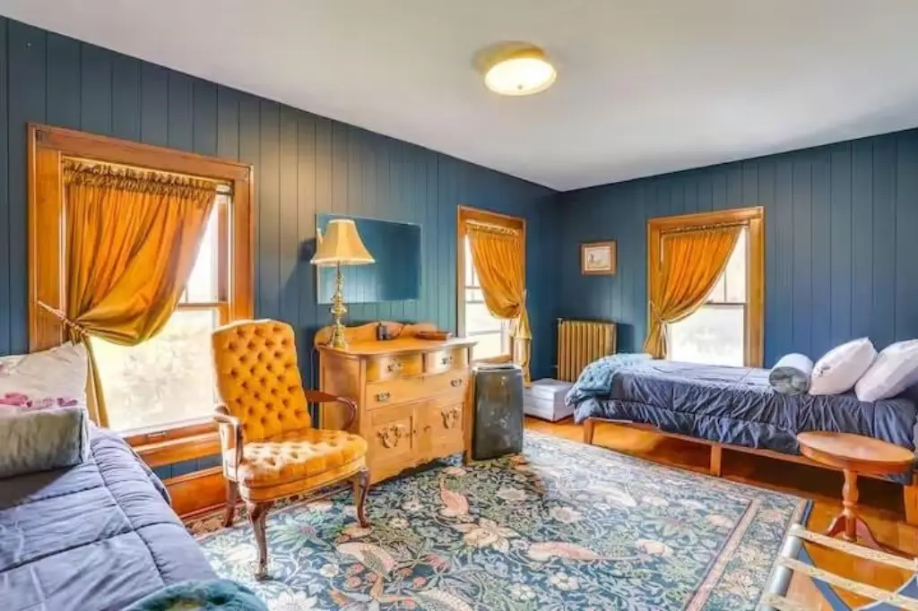
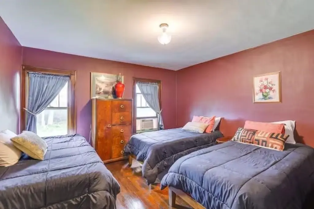
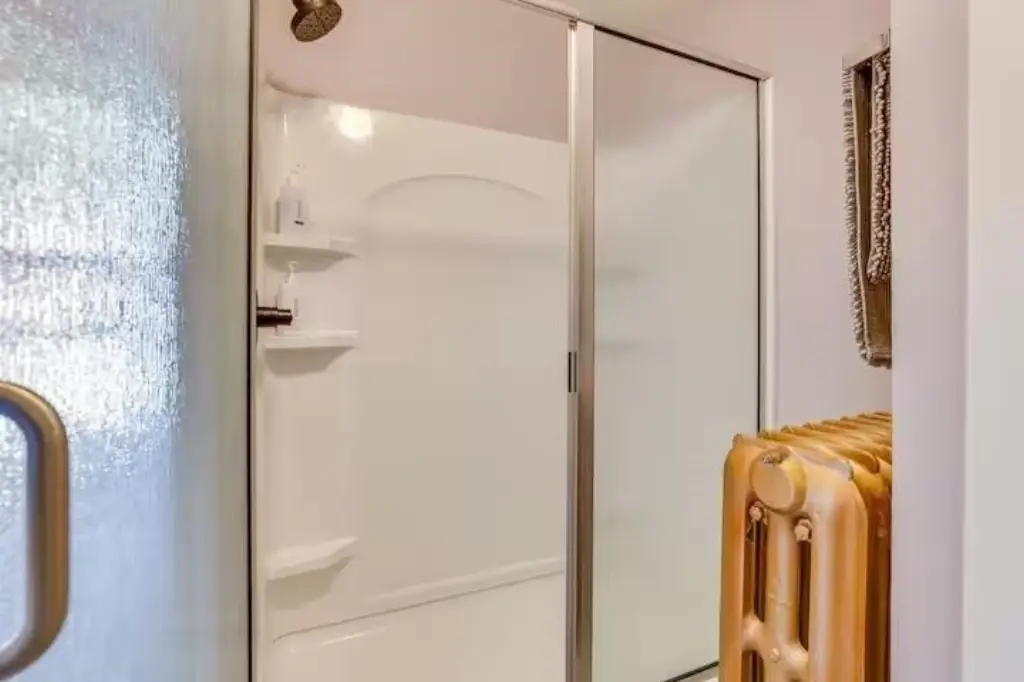
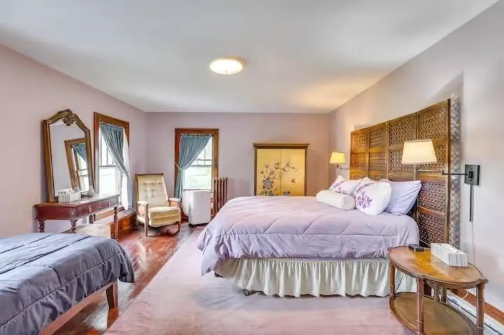
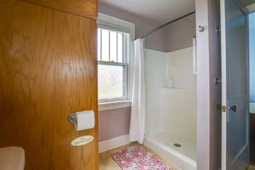
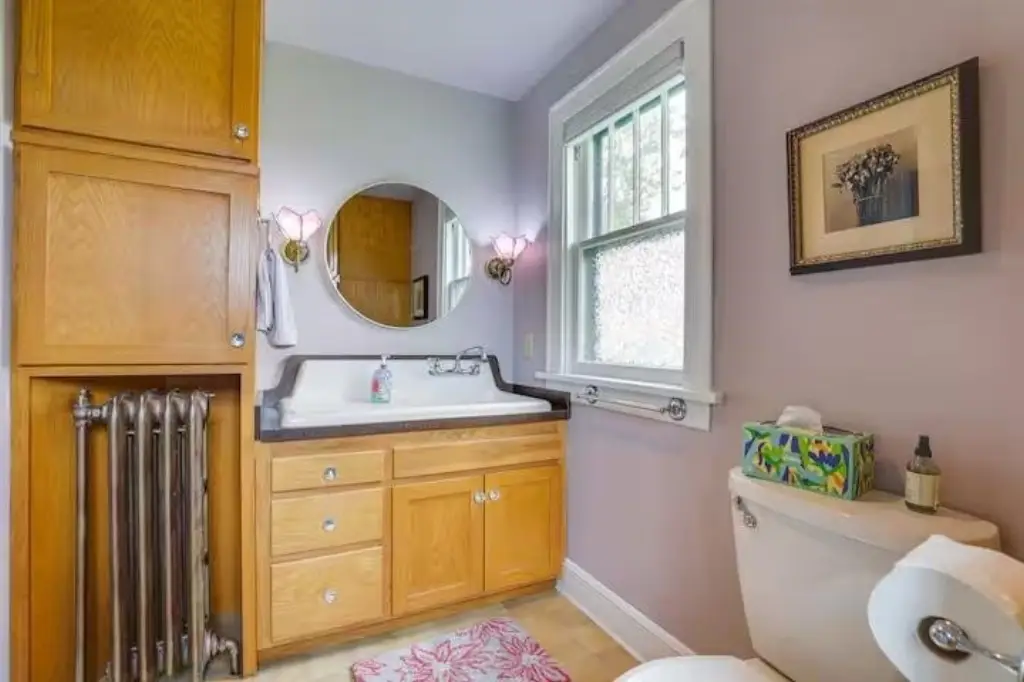
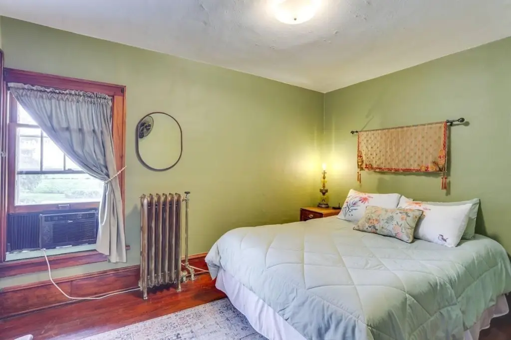
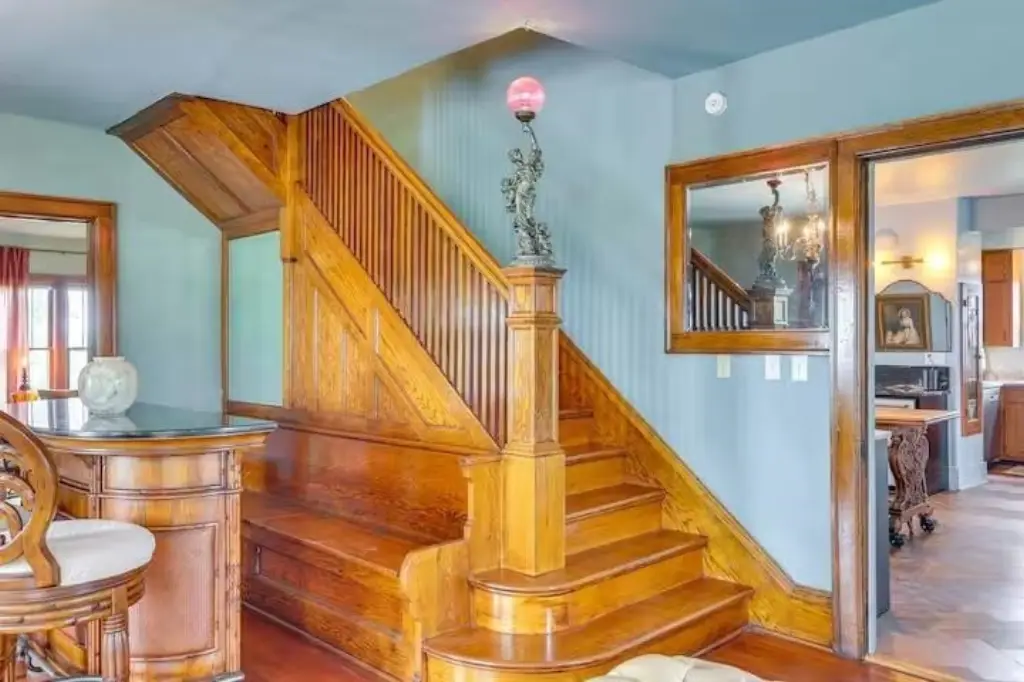
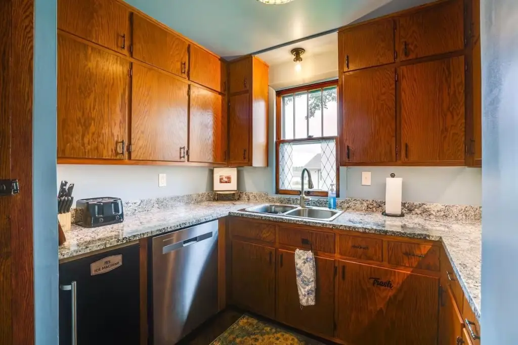
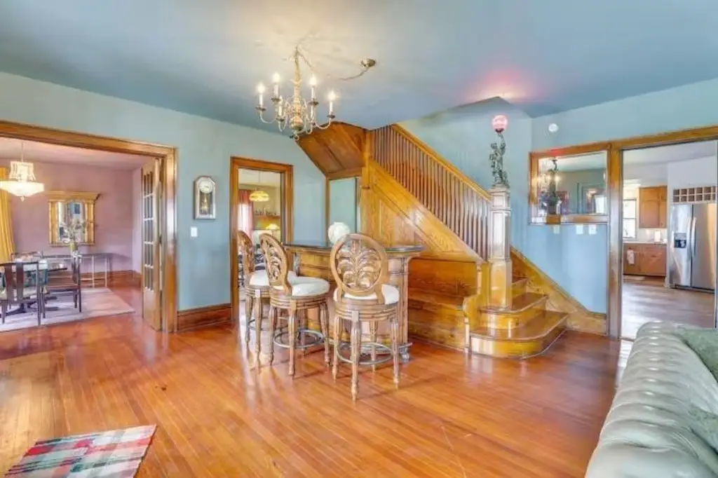
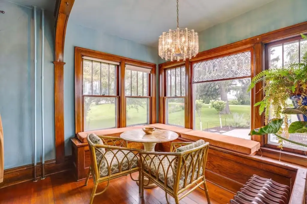
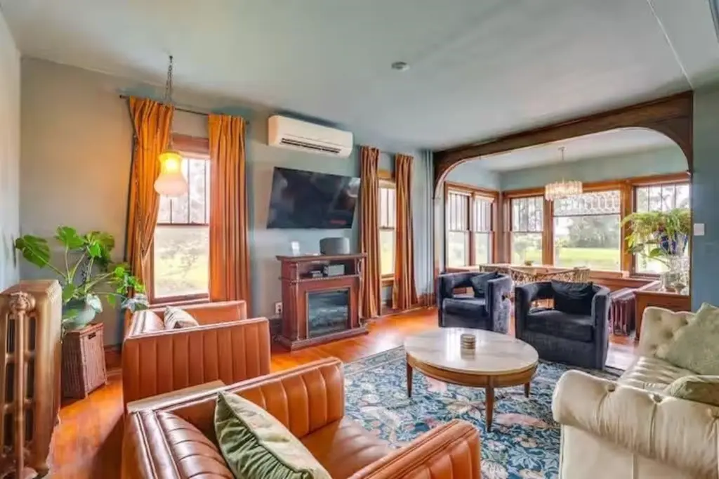
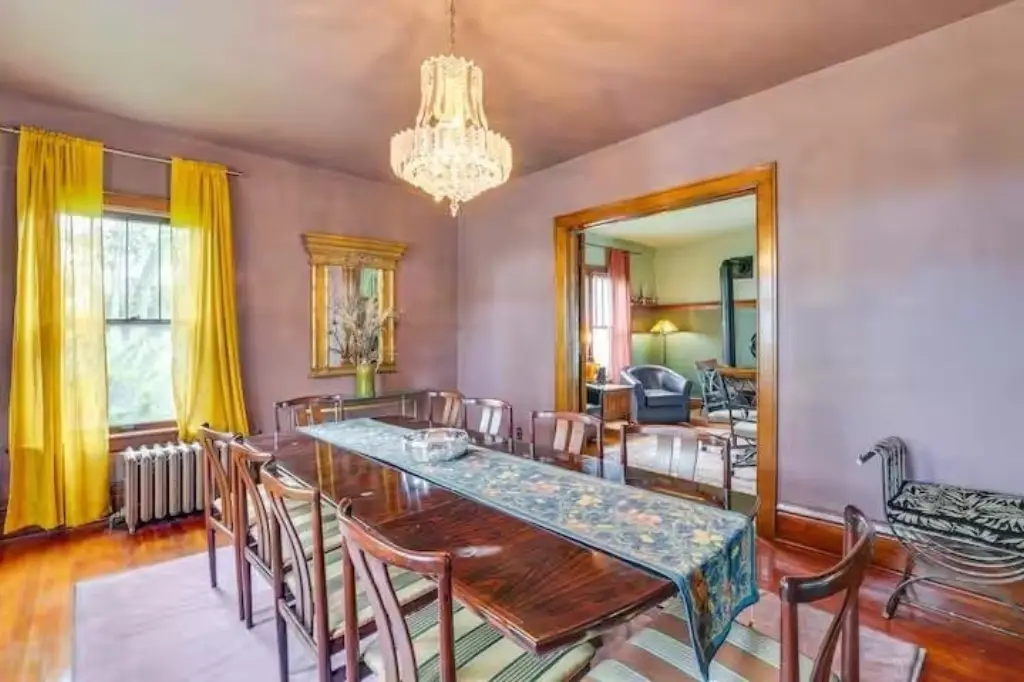
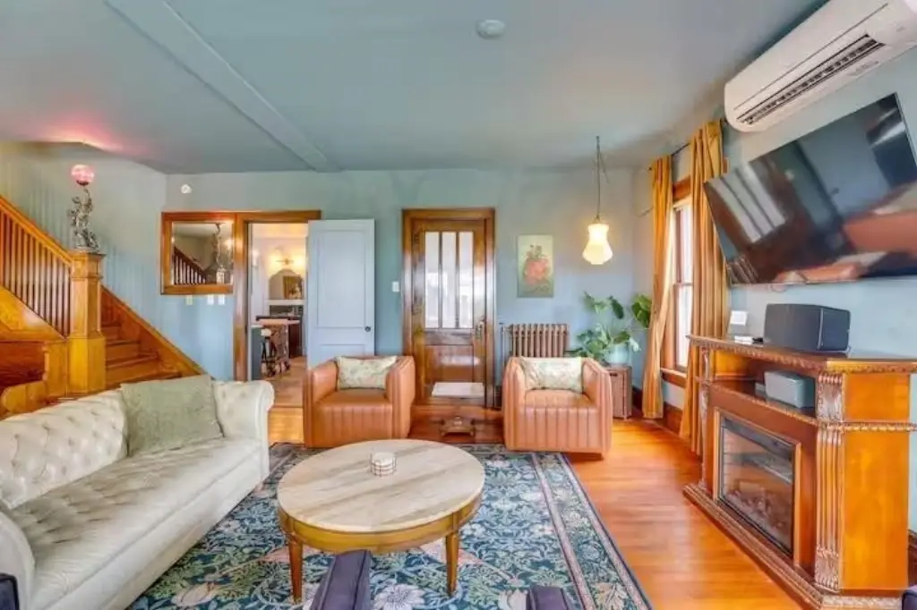
The listing notes the broader property includes a 5-bedroom, 2-bath home with multiple outbuildings, including a 2-car detached garage, a 60x80 pole shed, and a large barn, along with a walk-up attic that could be finished.
As presented, the property is also expected to be annexed into the Village of Mount Horeb in 2026, according to the seller remarks. Current income sources referenced in the remarks include rental income from storage buildings and pasture/crop rentals from local farmers.
Key Highlights
- 3‑acre parcel that is part of an additional 109 acres, plus a house, outbuildings, and crop land
- Main home: 5 bed, 2 bath, approx. 3,000 SF, with a large walk‑up attic that could be finished
- On‑site outbuildings include a detached 2‑car garage, 60x80 pole shed, and a large barn (6 outbuildings total)
Property Analytics
Location Intelligence
Current Use


Frequently Asked Questions
What type of property is this?
Agricultural land / Farmland - 3.15-acre parcel zoned Ag, part of a larger tract with options for commercial use or continued crop production.
Where is this agricultural land / farmland located?
The property is located at 3.15 Acres Ridgeview Rd lot 2 Mount Horeb, WI.
What is the asking price?
The asking price for this property is $850,000.
What are key features of this property?
This property features: 3‑acre parcel that is part of an additional 109 acres, plus a house, outbuildings, and crop land; Main home: 5 bed, 2 bath, approx. 3,000 SF, with a large walk‑up attic that could be finished; On‑site outbuildings include a detached 2‑car garage, 60x80 pole shed, and a large barn (6 outbuildings total)