Ave C Vic 245 Ste, Lancaster, CA 93535


- Added:
- May 27, 2025
- Days on Market:
- 387
- Last Refresh:
- Jun 17 at 7:06 am
Property Features for Ave C Vic 245 Ste
General Information
- Property type
- Land
- Property subtype
- Other
- Zoning
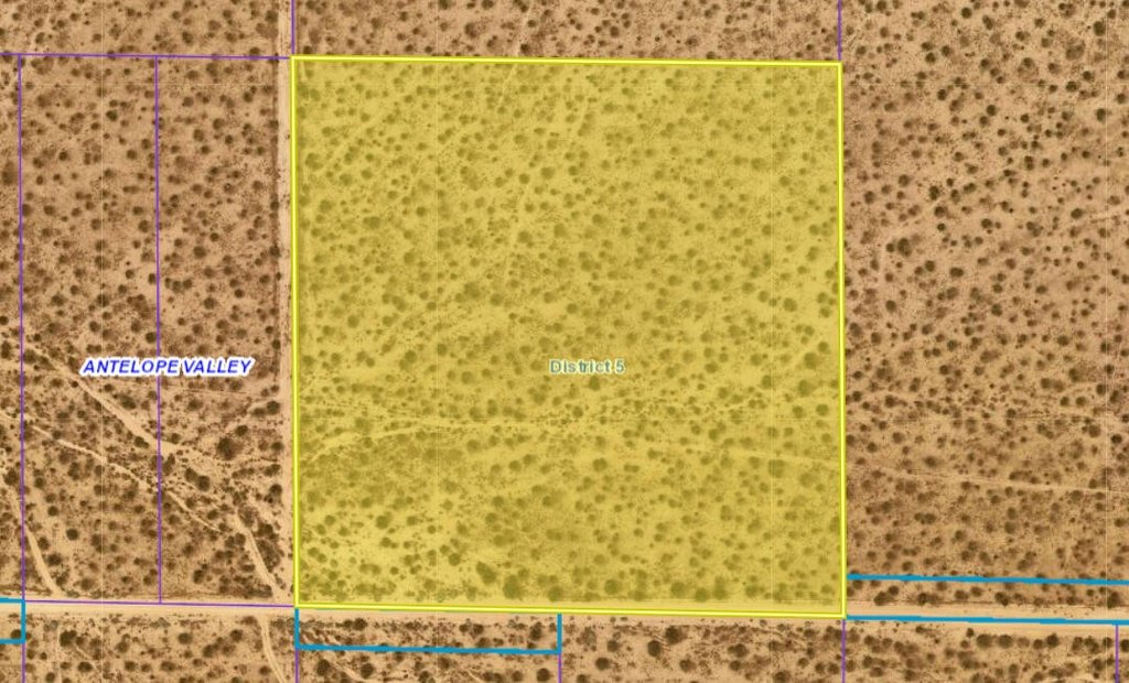
- A-2
- Standard status
- Active
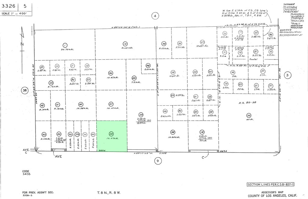
- APN
- 3326-005-028
- Lot size
- 10.43 Acres
Utilities
- Sewer type
- None
Listing agent Robert Kennerson License #01463756 (775) 835-3825
Listing office Robert Kennerson Real Estate CA
Listing date May 27, 2025
Copyright © 2026 Greater Antelope Valley Association of Realtors. All rights reserved. All information provided by the listing agent/broker is deemed reliable but is not guaranteed and should be independently verified.
HighLights
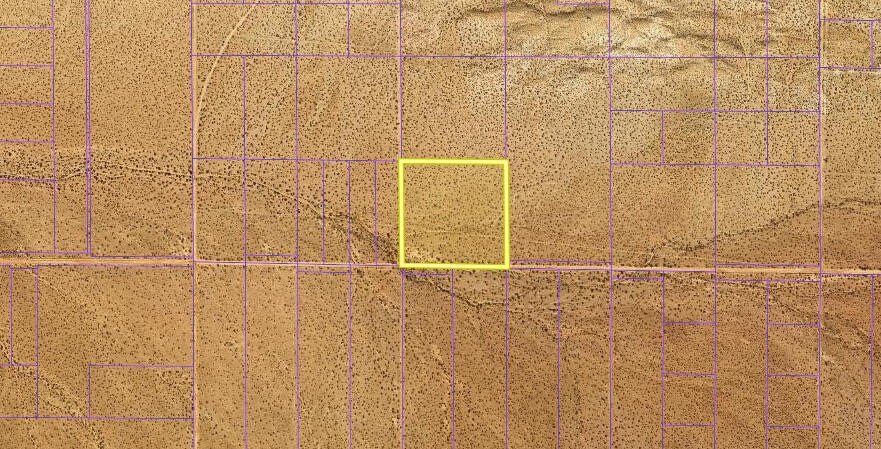
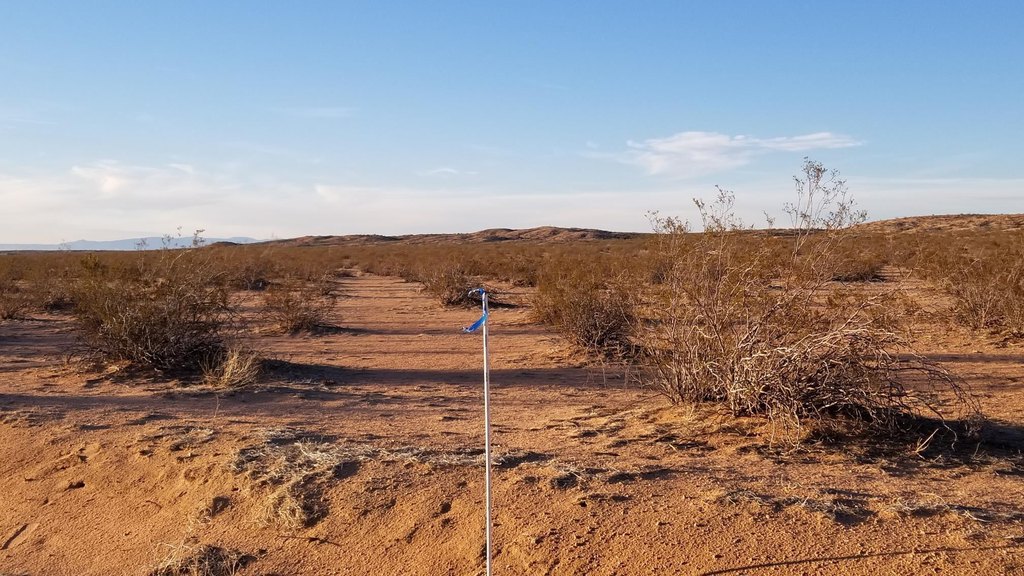
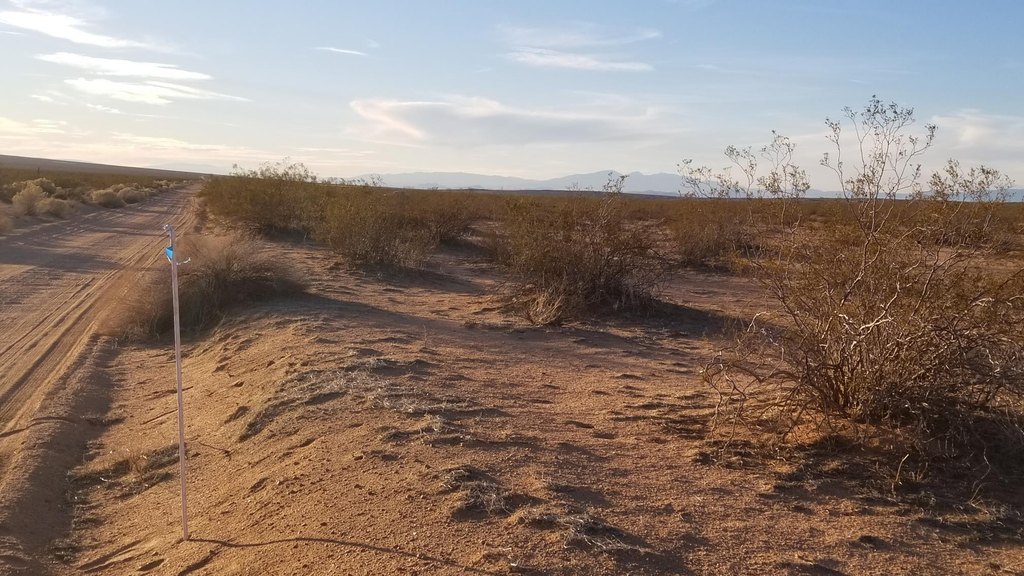
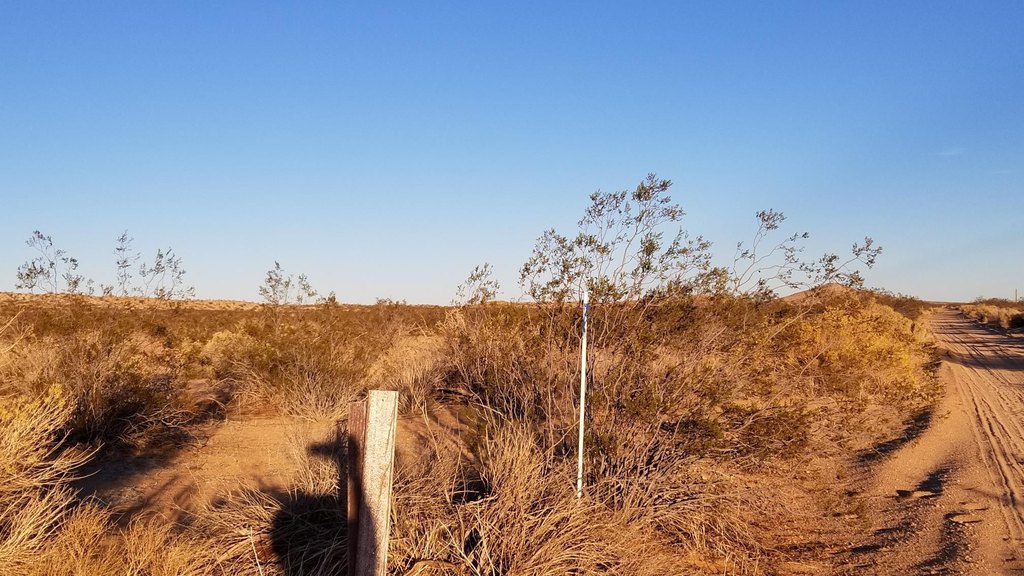
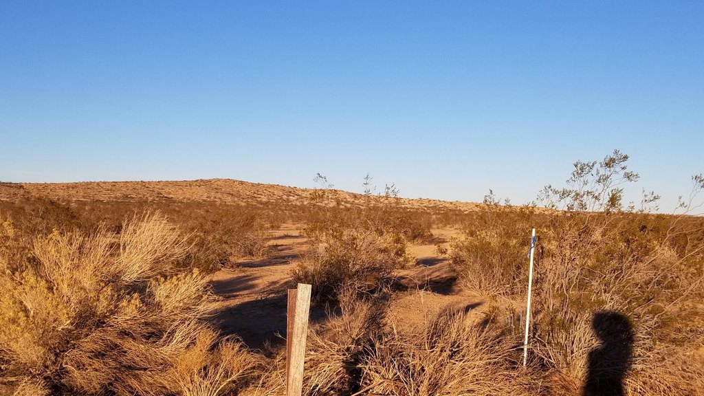
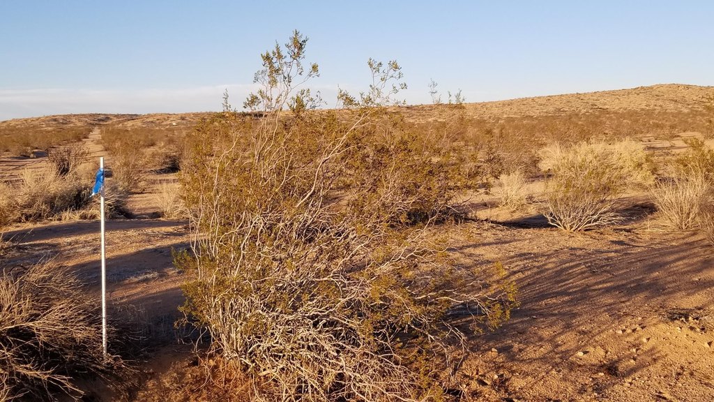
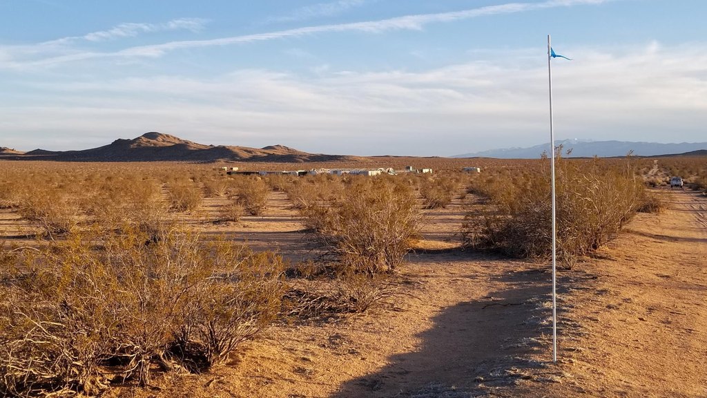
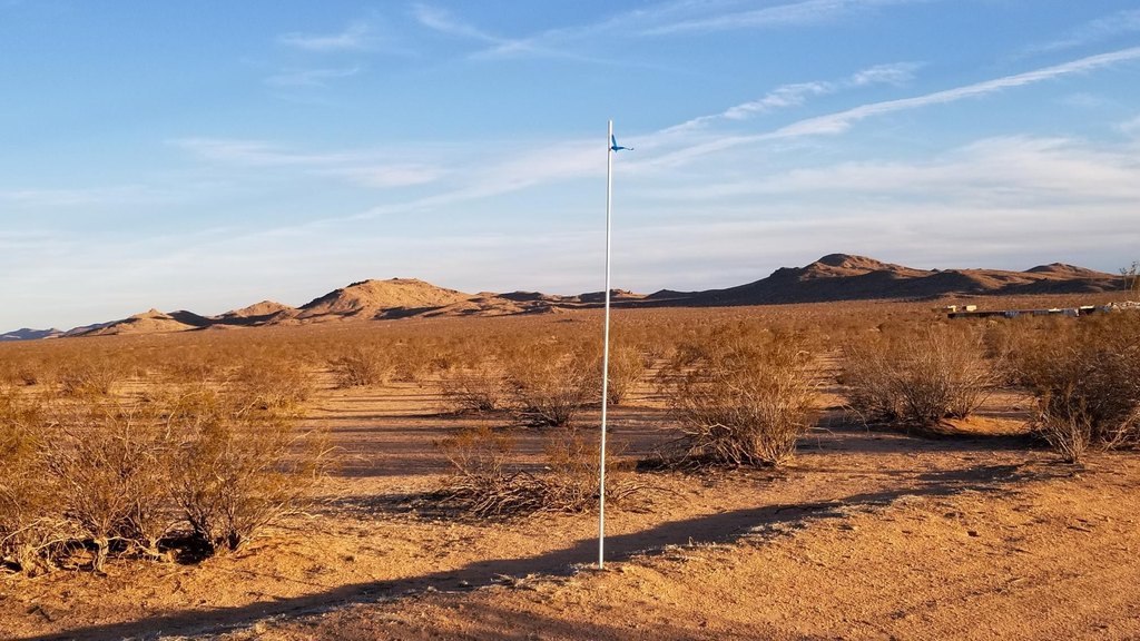
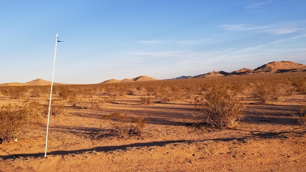
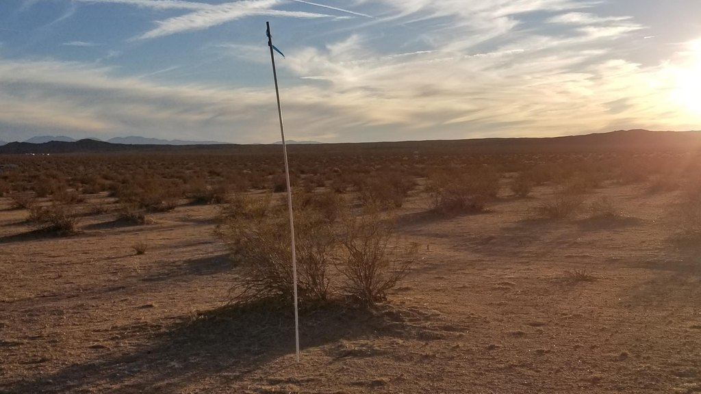
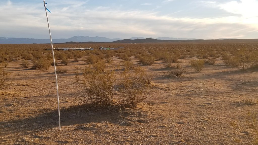
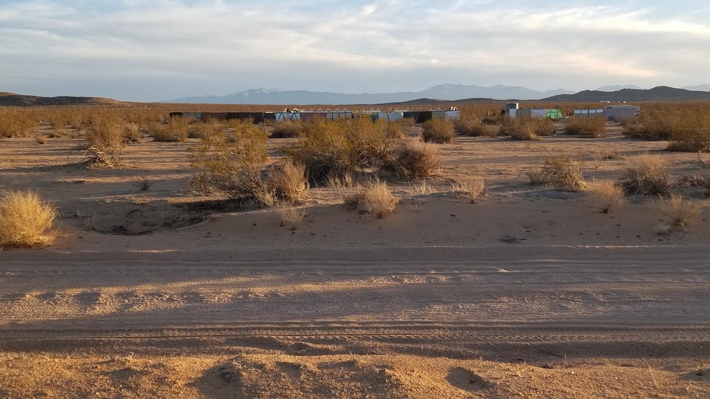
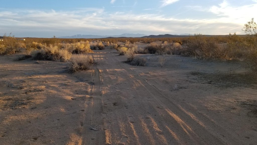
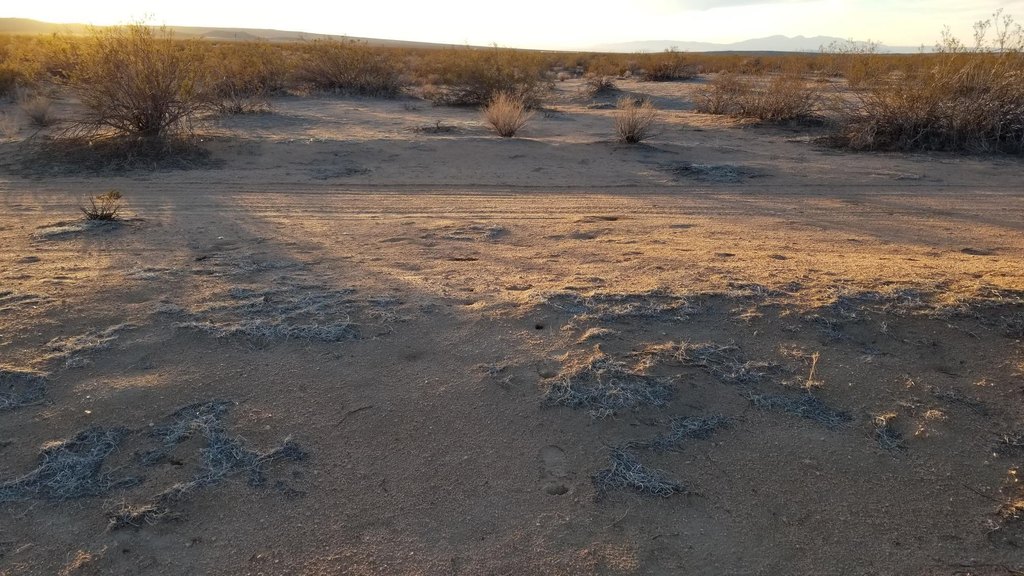
- 10.43 acres zoned A‑2, perfect for your single‑family residence.
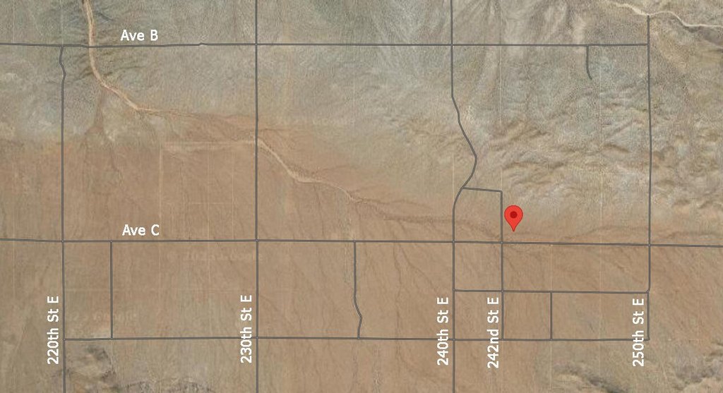
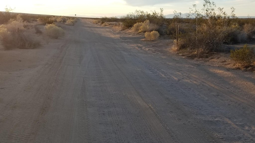
- Corner lot with road frontage on Avenue C and 242nd Street East.
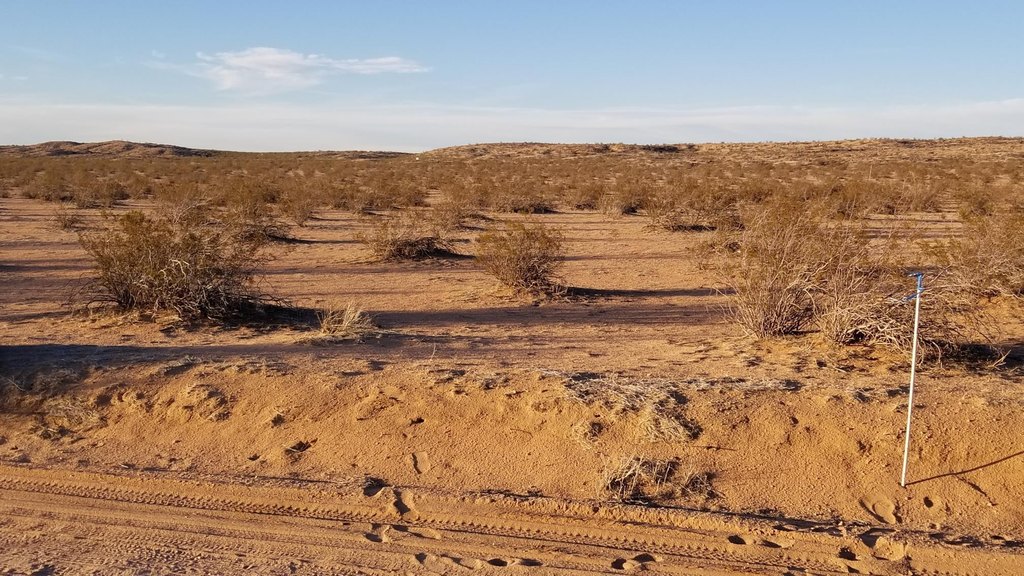
- Mostly flat land boasting vista views of the desert and hills.
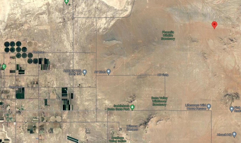
- Positioned for growth between Los Angeles and San Bernardino Counties, near Edwards Airforce Base.
- Located on Avenue C at 242nd Street East, Hi Vista, CA 93535.
- GPS coordinates and What3Words location provided for easy property identification.
Overview
Current Use by Public Records
Map
- City
- Lancaster
- County
- Los Angeles
- State
- California
- Longitude
- -117.885
- Latitude
- 34.7192