Kament Street lot 16, Bay Saint Louis, MS 39520
- Added:
- Jun 15, 2026
- Days on Market:
- 5
- Last Refresh:
- Jun 19 at 9:06 pm
Property Features for Kament Street lot 16
General Information
- Property type
- Land
- Property subtype
- Single Family Residence
- Standard status
- Active
- APN
- 139b-0-40-076.000,
- Lot size
- 0.32 Acres
Taxes and HOA fees
- Tax Year
- 2025
- Tax Description
- 16 ON CANAL BLK 1013 UNIT 10 SHORELINE PARK A A-86-423
- Tax Annual Amount
- 250
Utilities
- Utilities
- Water Available
- Sewer type
- Public Sewer
- Water source
- Public
- Water front features
- River Access, Waterfront, River Front
- Water front
- 1
Listing agent Joey J Alligood License #S58823 (228) 547-9804
Listing office Ashman-Mollere Realty, Inc. 418 Hwy 90, Waveland, MS (228) 467-5454
Listing date Jun 15, 2026
Copyright © 2026 MLS United. All rights reserved. All information provided by the listing agent/broker is deemed reliable but is not guaranteed and should be independently verified.
HighLights
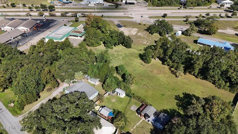
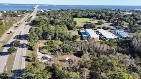
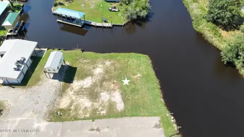
- Two adjoining waterfront lots with river front access in Shoreline Park, Bay St. Louis
- Total area is approximately 0.32 acres (14,028+/- SF), canal‑front parcels
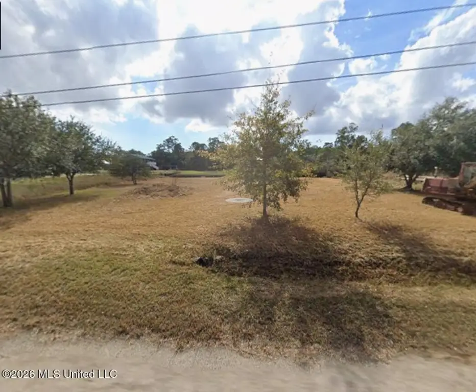
- Cleared and improved with fill dirt, helping reduce site prep work before building
- Direct water access for boating, kayaking, and fishing via the Jourdan River
- Utilities available: public water and public sewer
- Near Old Town Bay St. Louis, with access to Gulfport, Slidell, and New Orleans
Overview
The property provides direct water access for boating, kayaking, and fishing, with convenient access to the Jourdan River and the Gulf of Mexico. It is located just minutes from Old Town Bay St. Louis, with nearby dining, shopping, entertainment, beaches, casinos, and year-round festivals. The area is also described as being near NASA Stennis Space Center, with easy access to Gulfport, Slidell, and New Orleans.
These lots can be a practical fit for buyers looking to develop a primary residence or a weekend getaway with waterfront access. They may also appeal to those interested in acquiring cleared land for future development, with the understanding that all planning and compliance items must be confirmed. The buyer is responsible for verifying lot dimensions, zoning, building requirements, utilities, flood zone designation, and any applicable covenants or restrictions.
Current Use by Public Records
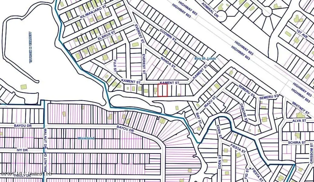
Map
- City
- Bay Saint Louis
- County
- Hancock
- State
- Mississippi
- Longitude
- -89.42154
- Latitude
- 30.322814