Waterfront Hunting
For Sale
$283,000
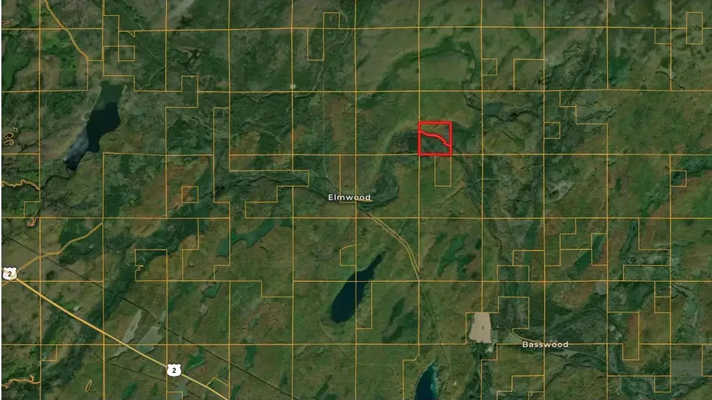
Federal Forest Highway 16, Iron River, MI 49935
Land, Iron River, MI
Property SizeContact for details
Lot Size160.00 Acres
Days on Market99
Property Features for Federal Forest Highway 16
General Information
Property type
Land
Property subtype
Other
Elementary school district
West Iron County
Middle school district
West Iron County
High school district
West Iron County
Directions
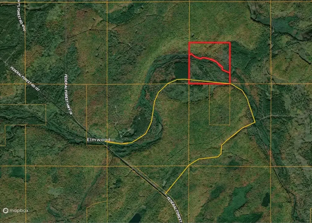
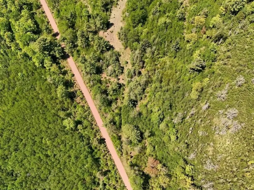
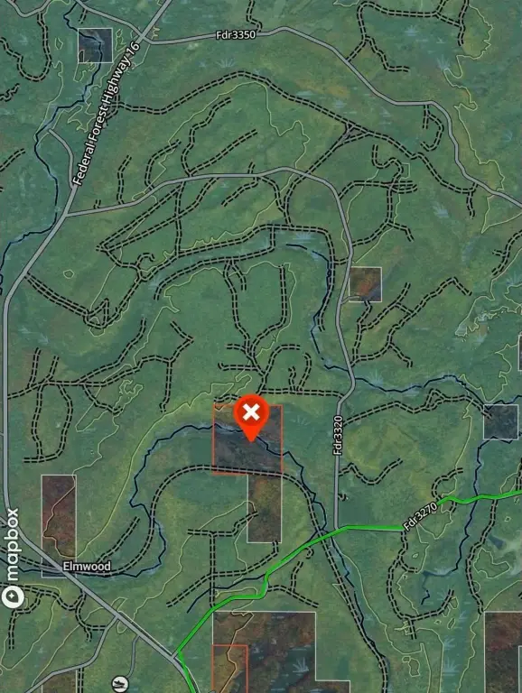
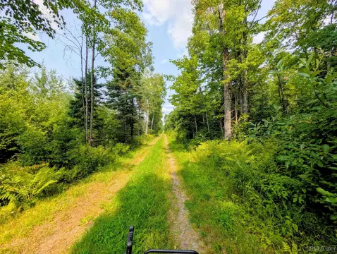
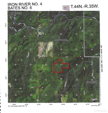
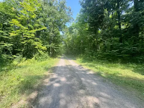
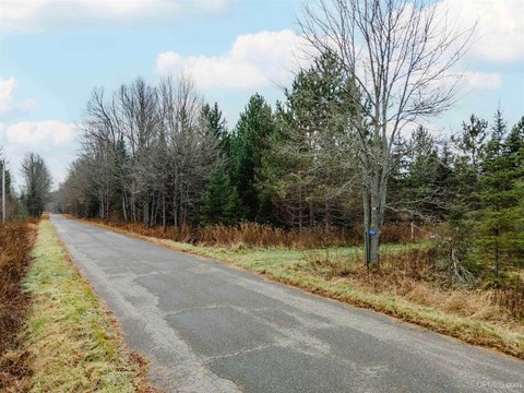
From federal forest highway 16 can either take trail from elmwood intersection headed east or take fdr3270 east to trail interesection and head west on trail. see locator map pdf or picture. There is a pull off on property.
Standard status
Active
APN
007-251-002-00 & 007-251-020-00
Lot size
160.00 Acres
Taxes and HOA fees
Tax Year
2025
Tax Description
228 415 236 446 248 335 405 418 668 517 Sbt 1 4/7 301,302 A,303 A&304 A Sec 1 T44 N R37 W Th Prt Sw 1/4 Lyg N'ly Of S Br Paint Rvr. 78 A. Split 2016 Into 007 251 020 00; 228 415 236 446 248 335 405 418 668 517 Sbt 1 4/7 302 B,303 B,304 B Cfr Sec 1 T44 N R37 W Th Prt Sw1/4 Lyg S'ly Of S Br Paint Rvr. 82 A. 007 800 152 00 Split 2016 From 007 251 002 00;
Tax Annual Amount
1700
Legal Description
228 415 236 446 248 335 405 418 668 517 Sbt 1 4/7 301,302 A,303 A&304 A Sec 1 T44 N R37 W Th Prt Sw 1/4 Lyg N'ly Of S Br Paint Rvr. 78 A. Split 2016 Into 007 251 020 00; 228 415 236 446 248 335 405 418 668 517 Sbt 1 4/7 302 B,303 B,304 B Cfr Sec 1 T44 N R37 W Th Prt Sw1/4 Lyg S'ly Of S Br Paint Rvr. 82 A. 007 800 152 00 Split 2016 From 007 251 002 00;
Utilities
Water front features
Creek
Listing Agency:
Mossy Oak Properties Michigan Outdoors
(269) 313-0350
Listed By:
Riley Welch · License #6501460195
(616) 404-4490
Added: Jun 30
Changed: Aug 20
Last Checked: Oct 6 at 4:06AM
MLS# 26032847
Copyright © 2026 Michigan Regional Information Center, LLC. All rights reserved. All information provided by the listing agent/broker is deemed reliable but is not guaranteed and should be independently verified.
Investment Insights
Based on property information with market context.
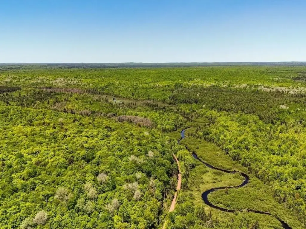
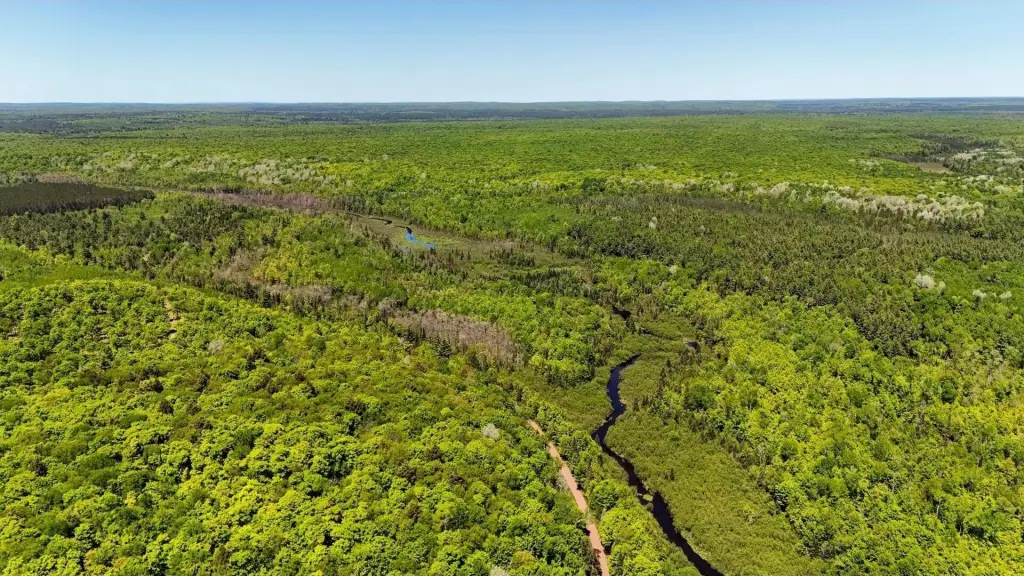
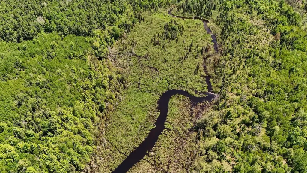
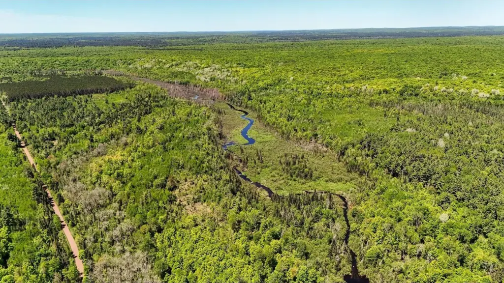
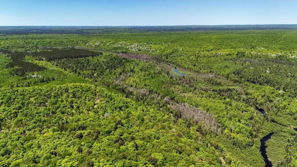
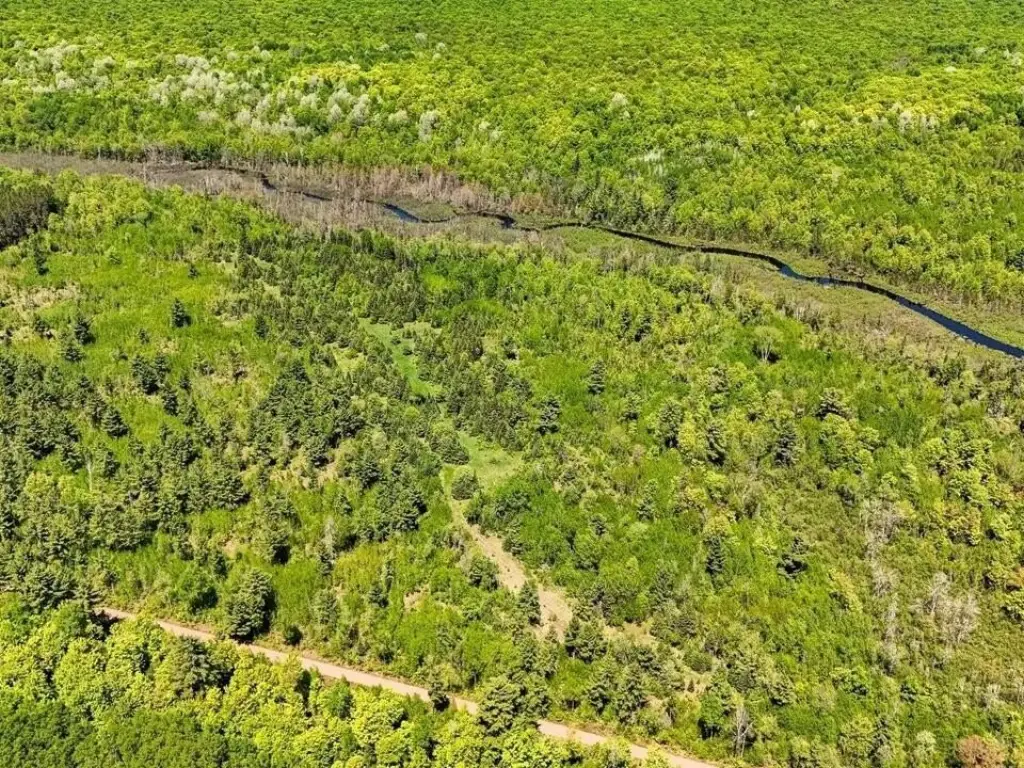
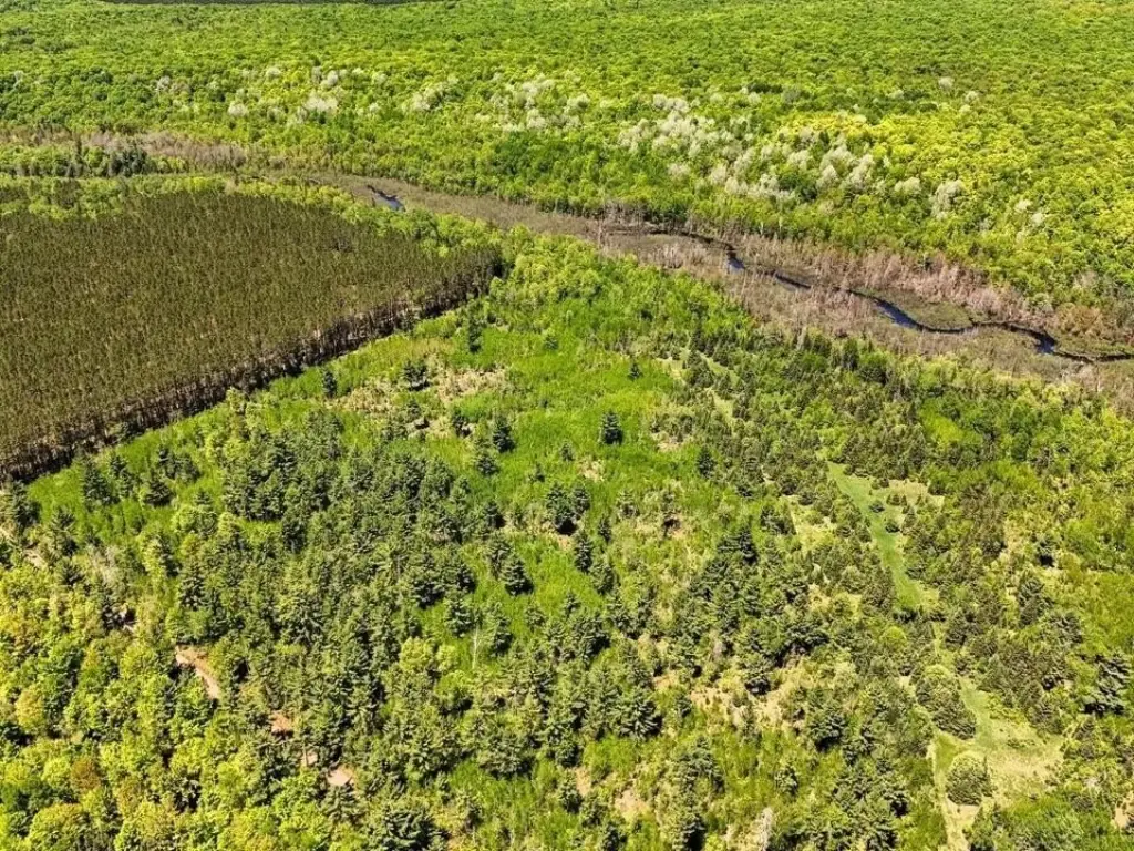
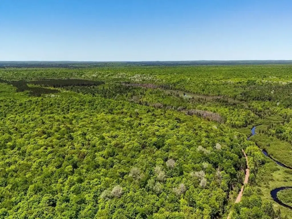
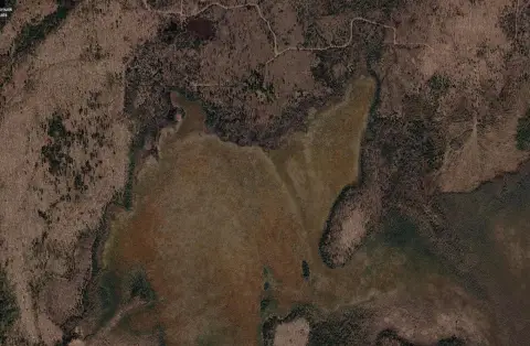
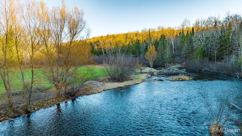
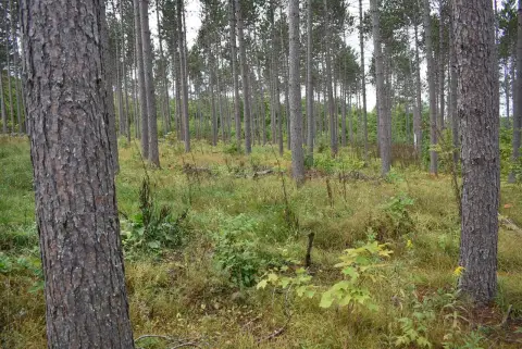
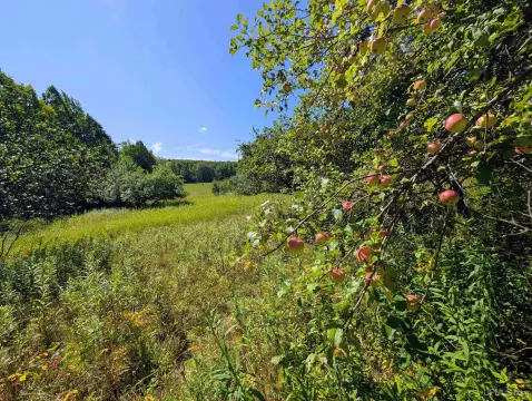
This 160-acre tract in Michigan’s Upper Peninsula combines hardwoods, cedar, spruce, pine, wetlands, and timber stands of varying ages. The South Branch of the Paint River crosses the property and is designated a Blue Ribbon Trout Stream, adding a substantial waterfront recreation component. Habitat supports deer, bear, grouse, woodcock, and other wildlife.
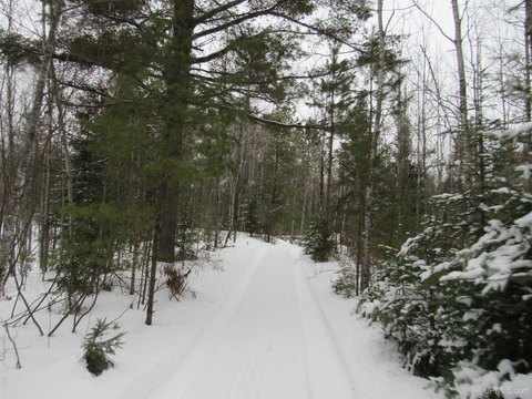
The property is bordered on approximately 3 1/2 sides by thousands of acres of National Forest. The Iron River/Watersmeet Snowmobile Trail follows the south boundary and includes permitted vehicle access. Recreational uses identified for the property include hunting, fishing, hiking, snowmobiling, skiing, canoeing, kayaking, and wildlife viewing. Portions of the land are enrolled in Michigan’s Commercial Forest Program, with the owner willing to remove the property from the program for the new owner.
The property is bordered on approximately 3 1/2 sides by thousands of acres of National Forest. The Iron River/Watersmeet Snowmobile Trail follows the south boundary and includes permitted vehicle access. Recreational uses identified for the property include hunting, fishing, hiking, snowmobiling, skiing, canoeing, kayaking, and wildlife viewing. Portions of the land are enrolled in Michigan’s Commercial Forest Program, with the owner willing to remove the property from the program for the new owner.
Key Highlights
- 160 acres with the South Branch of the Paint River crossing the property
- South Branch of the Paint River is designated a Blue Ribbon Trout Stream
- Bordered on approximately 3 1/2 sides by thousands of acres of National Forest
Property Analytics
Current Use
Location Intelligence
Trade Area within ½ mile
Explore this area
Business Placement
Demographics for 49935, MI
5,952
Population
4,610
Households
1.3
Avg Household Size
51
Median Age
20%
College-Educated
93%
High-School Grad
457.0 sq mi
ZIP Area
13
Density / Sq Mi
$52,254
Median Household Income
$38,052
Median Earnings
$445
Median Rent
$103,800
Median Home Value

Questions? Ask Rey
Realmo’s AI knows this listing — price, zoning, demand, history. Ask anything.

Frequently Asked Questions
What type of property is this?
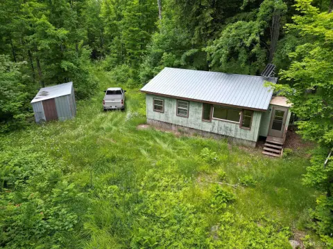
Land - Diverse forest, wetlands, and river access support hunting, fishing, recreation, and a private off-grid retreat.
Where is this land located?
The property is located at Federal Forest Highway 16 Iron River, MI.
What is the asking price?
The asking price for this property is $283,000.
What are key features of this property?
This property features: 160 acres with the South Branch of the Paint River crossing the property; South Branch of the Paint River is designated a Blue Ribbon Trout Stream; Bordered on approximately 3 1/2 sides by thousands of acres of National Forest


