Recreation Land with
For Sale
$328,000
TBD FFR 2127K Road, Iron River, MI 49935
Land, Iron River, MI
Property SizeContact for details
Lot Size240.00 Acres
Days on Market606
Property Features for TBD FFR 2127K Road
General Information
Property type
Land
Property subtype
Other
High school district
000000
Standard status
Active
Lot size
240.00 Acres
Listing Agency:
Great Lakes & Land Real Estate
Listed By:
Timothy Keohane
(906) 228-9312
Added: Feb 7, 2025
Changed: Aug 20
Last Checked: Oct 6 at 10:06AM
MLS# 11555873
Copyright © 2026 My State MLS. All rights reserved. All information provided by the listing agent/broker is deemed reliable but is not guaranteed and should be independently verified.
Investment Insights
Based on property information with market context.
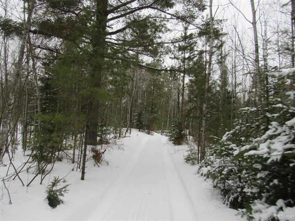
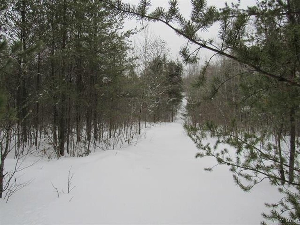
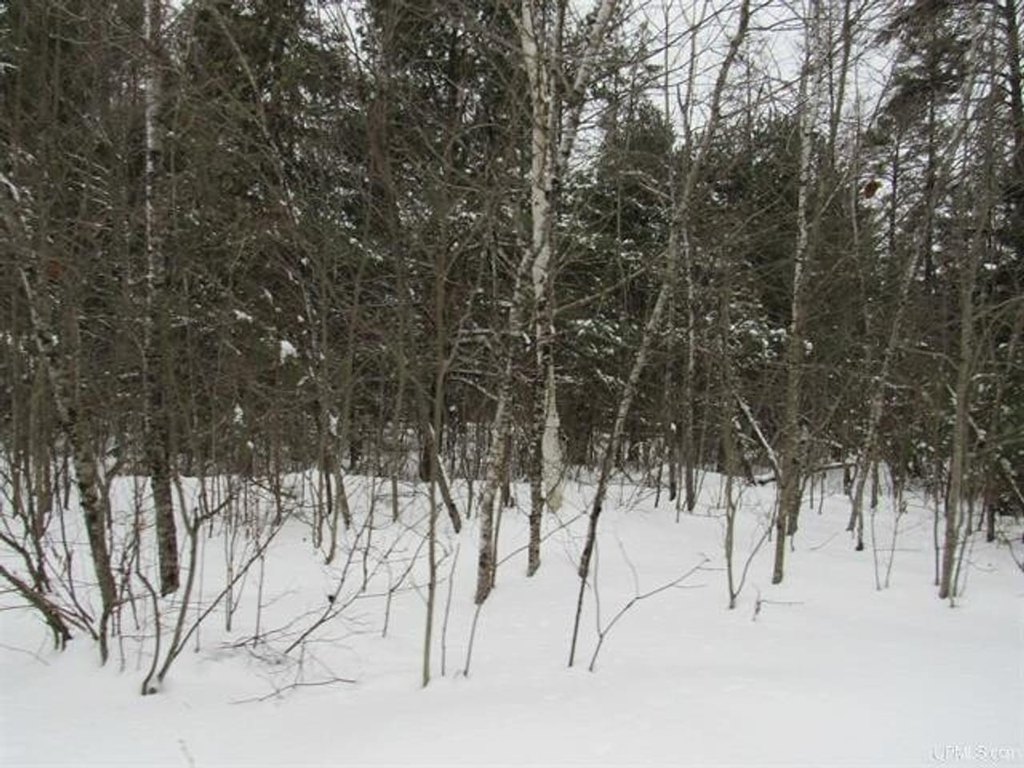
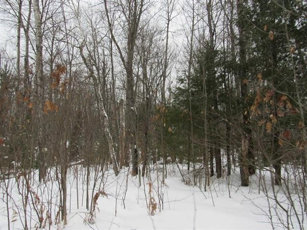
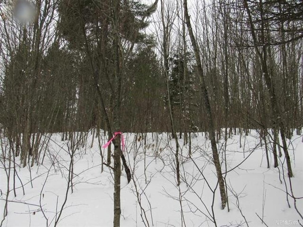
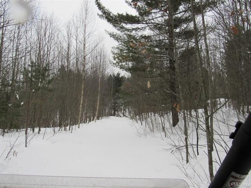
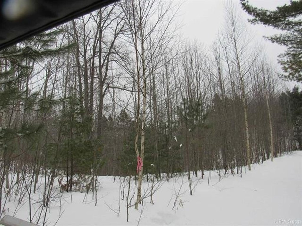
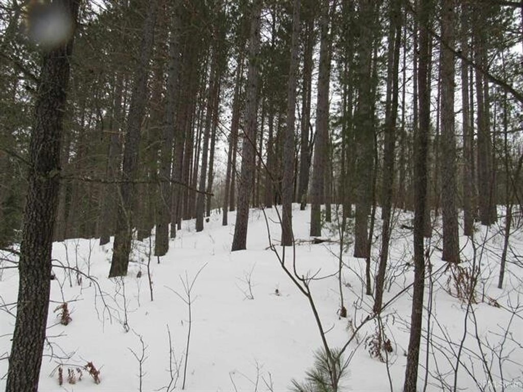
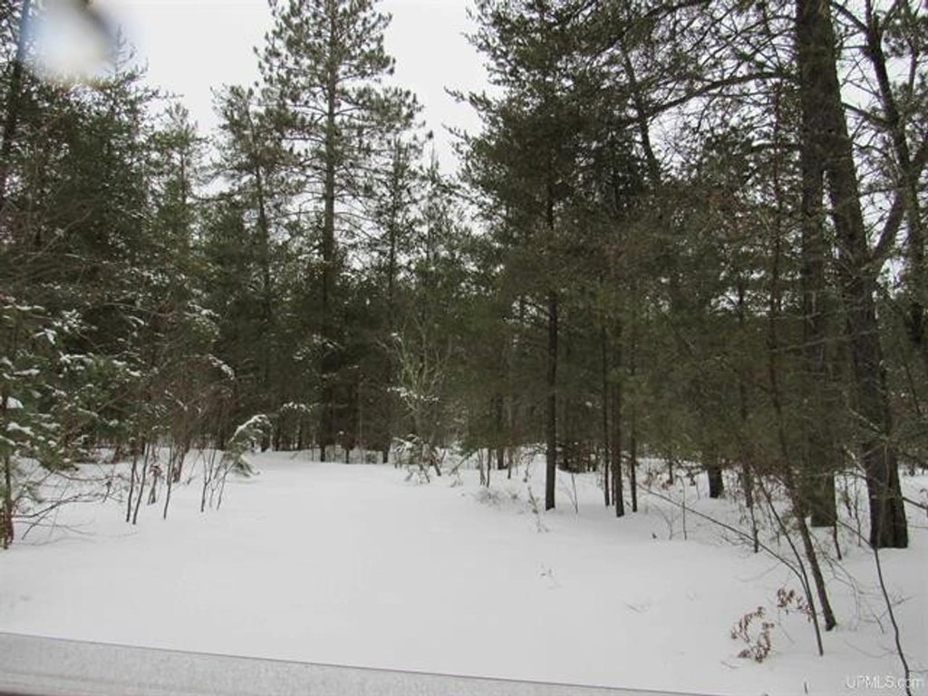
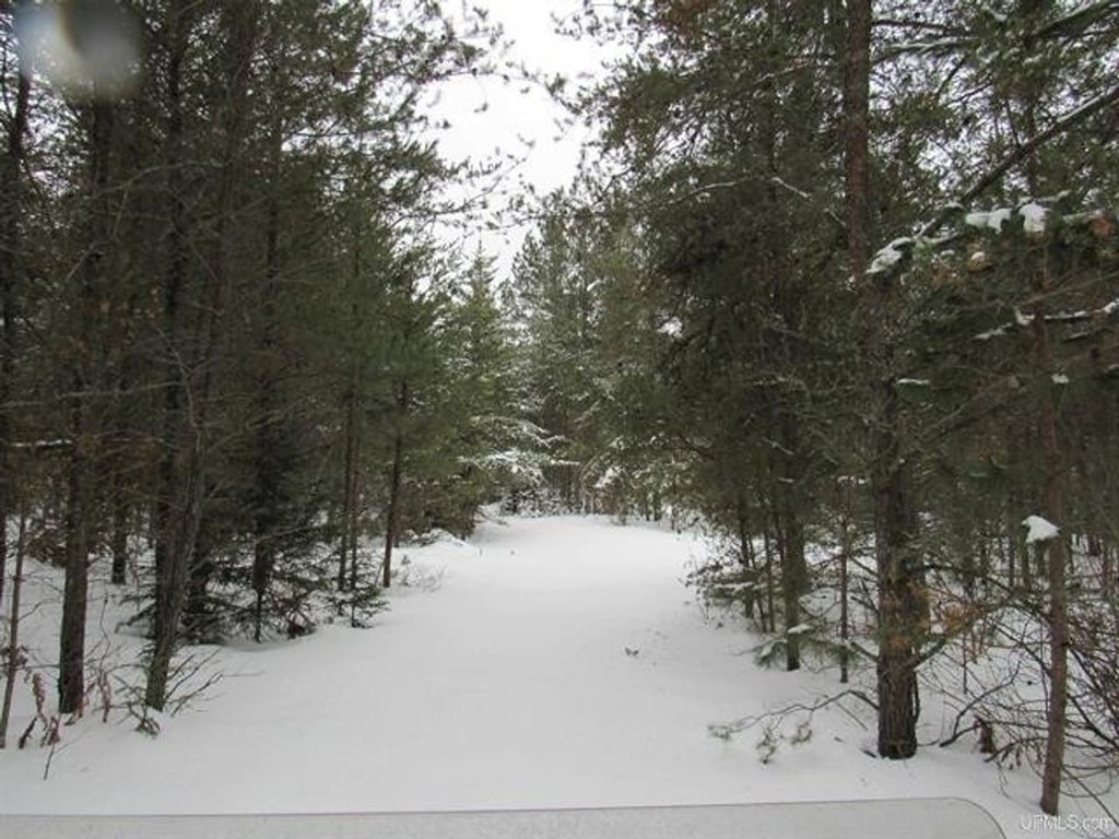
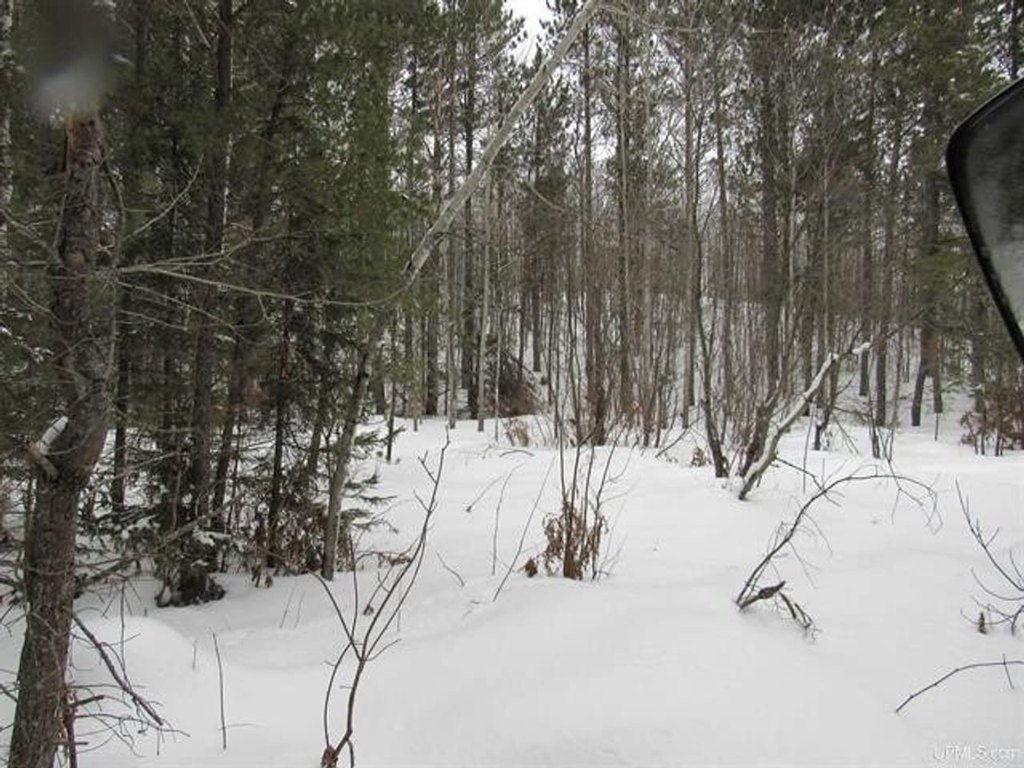
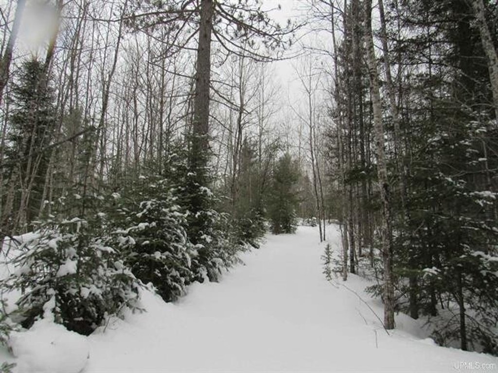
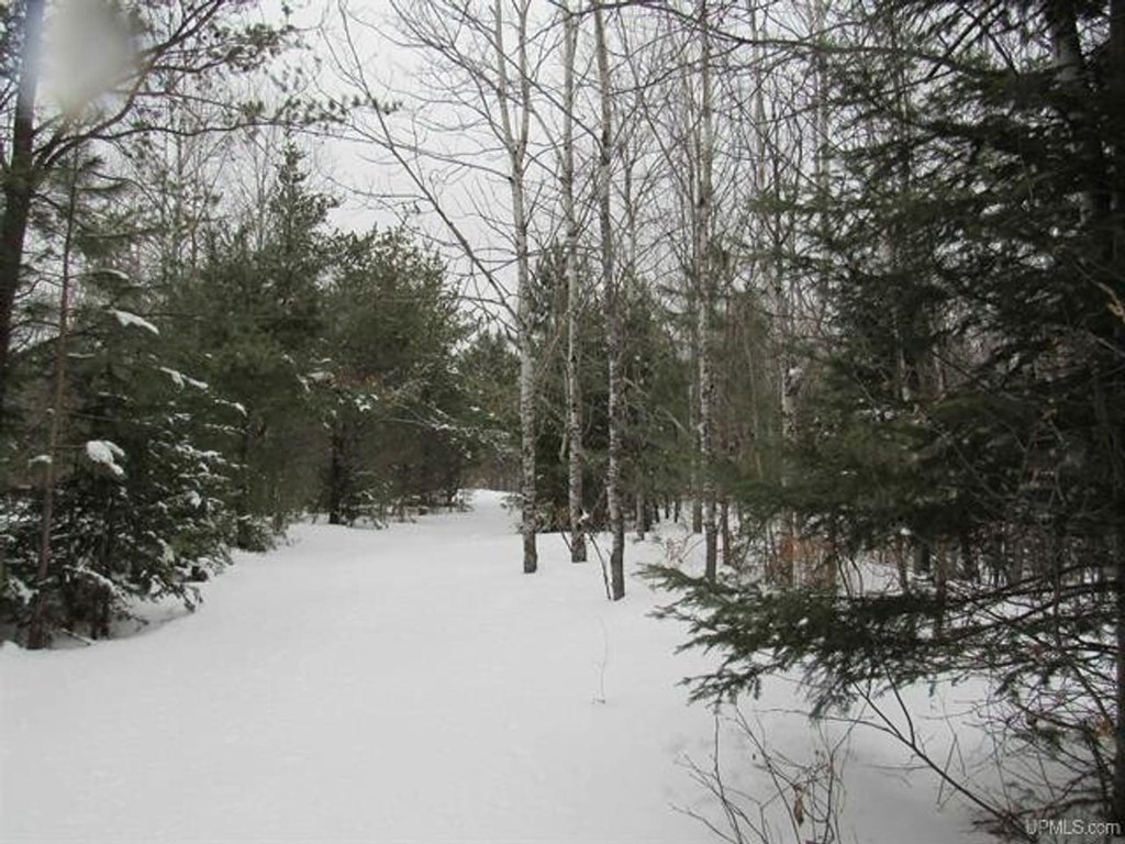
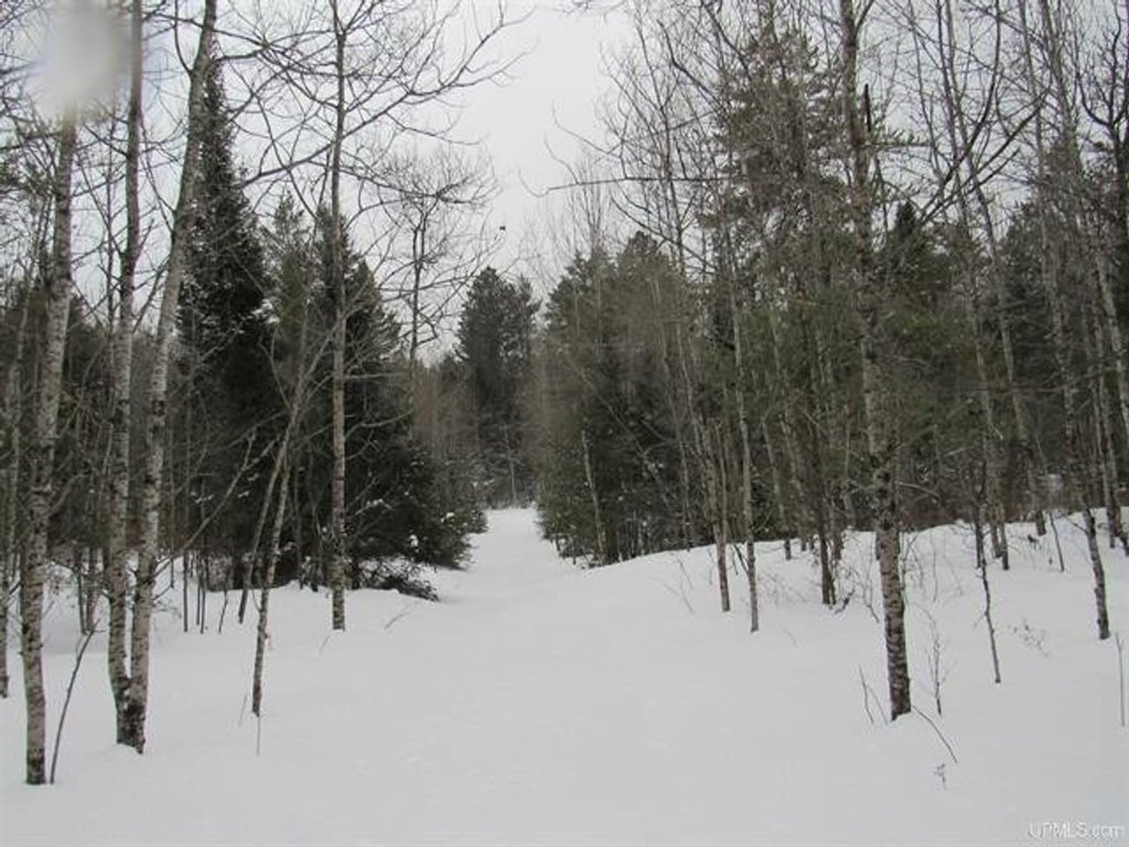
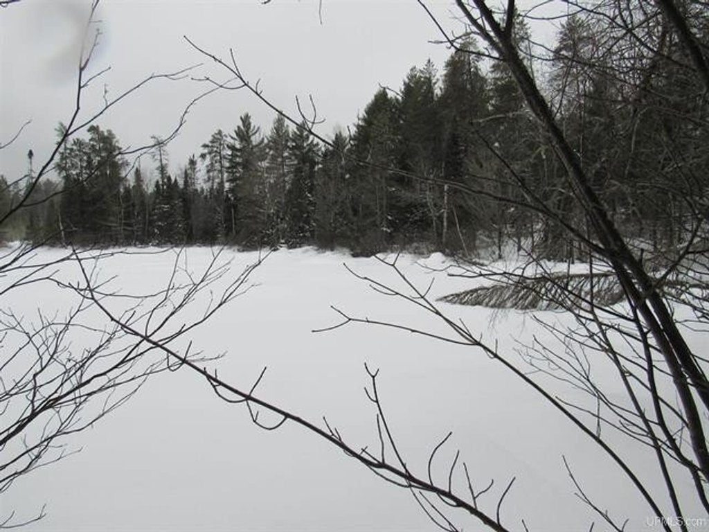
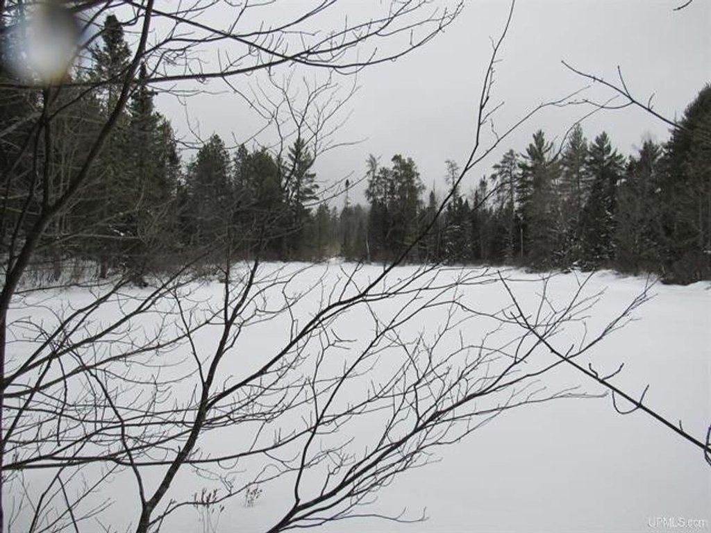
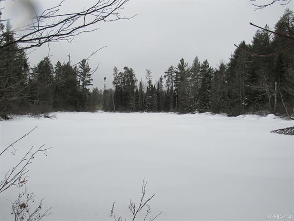
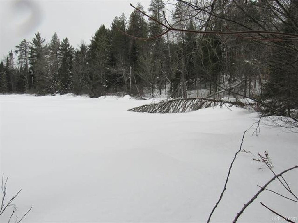
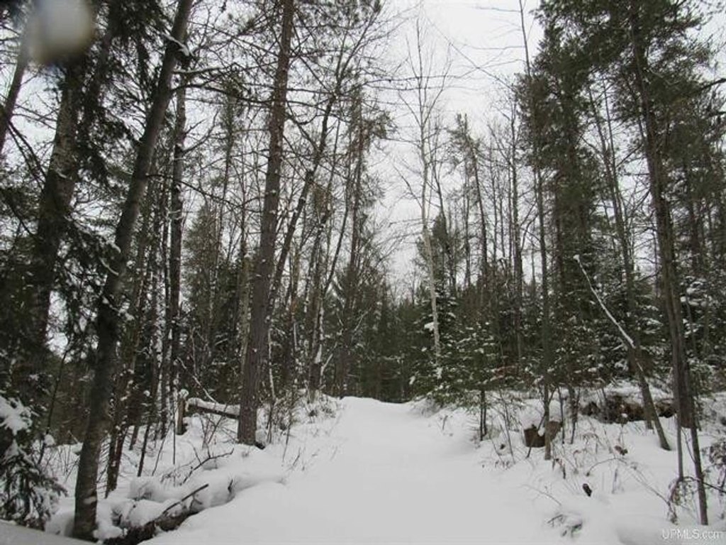
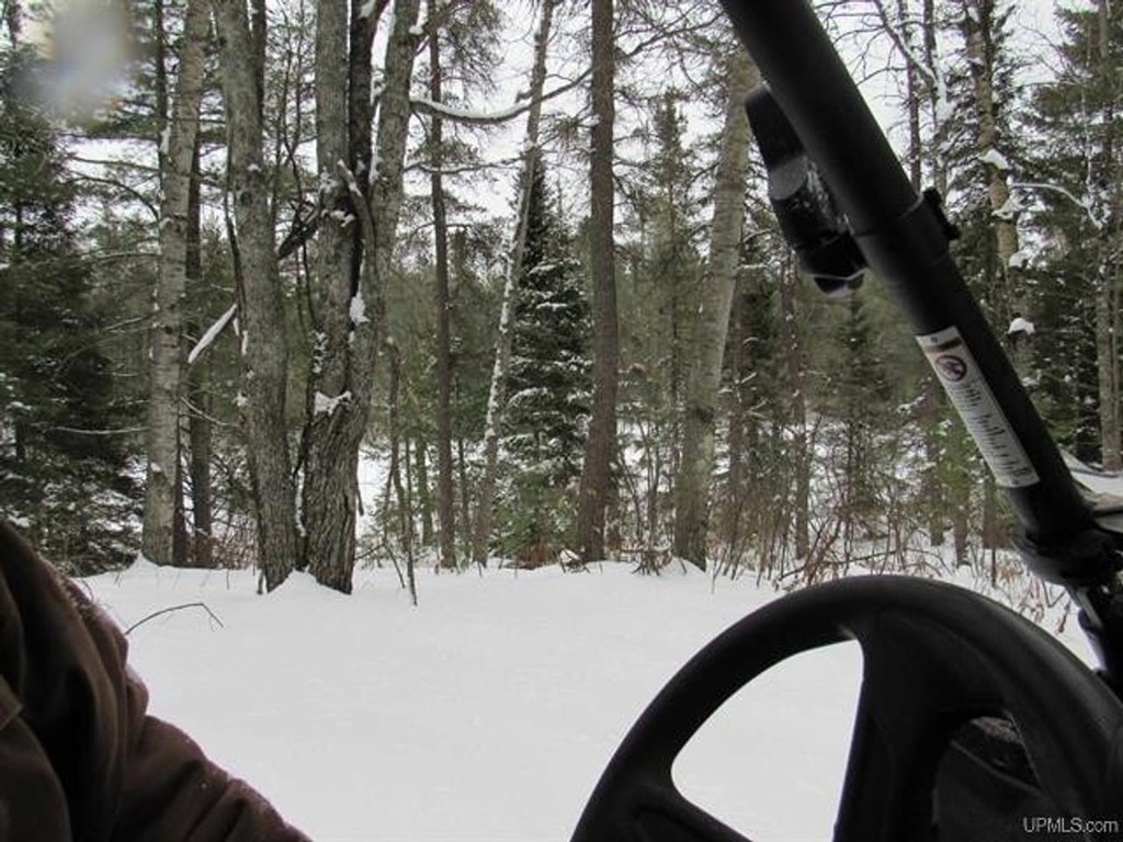
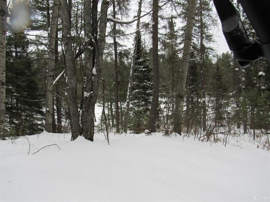
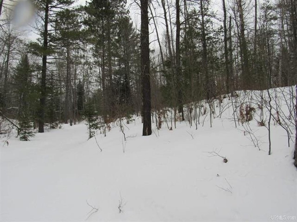
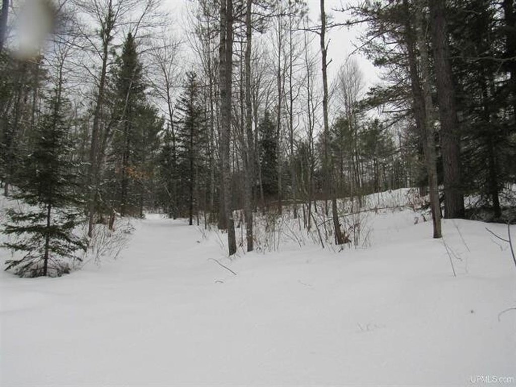
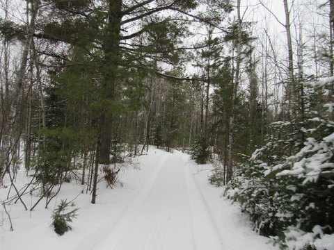
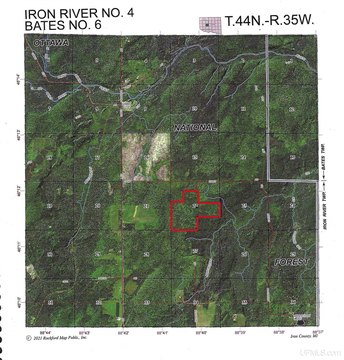
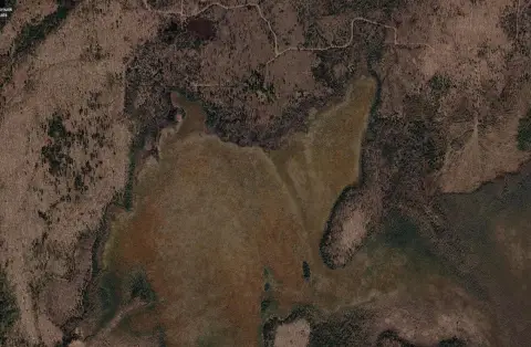
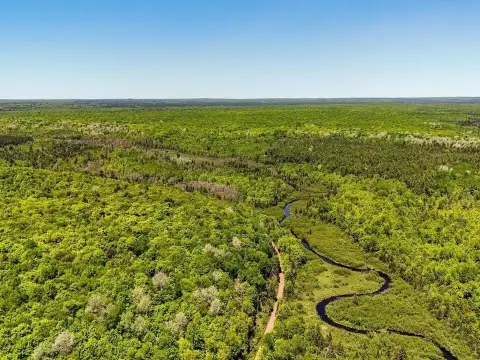
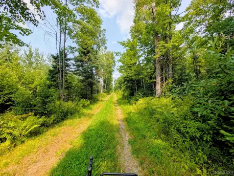
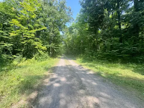
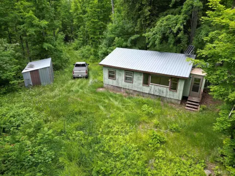
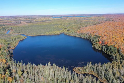
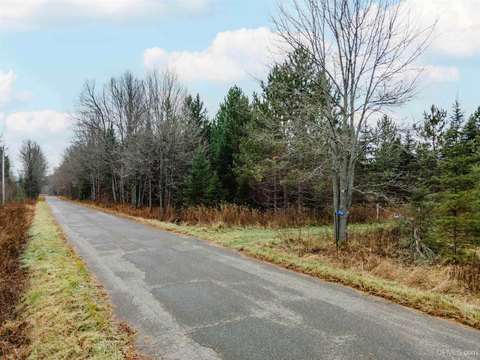
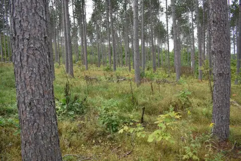
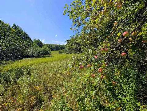
This 240+/- acre recreational parcel in Iron County, Michigan, combines rolling terrain, wooded cover, open grass- and fern-covered areas, ponds, and several elevated points reaching approximately 20 feet. Aspen stands are prominent, with northern hardwoods, oak, spruce, mixed conifers, red pine, and jack pine also present. About six miles of trails cross the property.
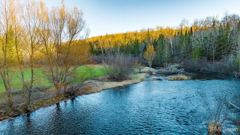
Ottawa National Forest Lands surround the parcel, placing it within a broader outdoor recreation setting that includes boating, camping, fishing, hiking, hunting, kayaking, skiing, and wildlife observation. The eastern boundary nearly reaches the East Branch of the Ontonagon River, while Lake St. Kathryn lies approximately one mile southwest and Perch Lake is about three miles southwest. The Porter Lake-Sidnaw Multi-Use State Trail Number 15 runs just west of the property and supports snowmobile use in winter and ORV/ATV travel in other seasons.
The land is enrolled in Michigan’s CFA Program, which provides tax incentives tied to managed forestland and public foot access for hunting, trapping, and fishing.
Ottawa National Forest Lands surround the parcel, placing it within a broader outdoor recreation setting that includes boating, camping, fishing, hiking, hunting, kayaking, skiing, and wildlife observation. The eastern boundary nearly reaches the East Branch of the Ontonagon River, while Lake St. Kathryn lies approximately one mile southwest and Perch Lake is about three miles southwest. The Porter Lake-Sidnaw Multi-Use State Trail Number 15 runs just west of the property and supports snowmobile use in winter and ORV/ATV travel in other seasons.
The land is enrolled in Michigan’s CFA Program, which provides tax incentives tied to managed forestland and public foot access for hunting, trapping, and fishing.
Key Highlights
- 240+/- acres of recreational land in Iron County, Michigan
- Approximately six miles of trails cross the property
- Ottawa National Forest Lands surround the parcel
Property Analytics
Current Use
Location Intelligence
Trade Area within ½ mile
1
Businesses Nearby
Explore this area
Business Placement
Demographics for 49935, MI
5,952
Population
4,610
Households
1.3
Avg Household Size
51
Median Age
20%
College-Educated
93%
High-School Grad
457.0 sq mi
ZIP Area
13
Density / Sq Mi
$52,254
Median Household Income
$38,052
Median Earnings
$445
Median Rent
$103,800
Median Home Value

Questions? Ask Rey
Realmo’s AI knows this listing — price, zoning, demand, history. Ask anything.
Frequently Asked Questions
What type of property is this?
Recreation land - Rolling recreational acreage with ponds, wooded terrain, and an internal trail network.
Where is this recreation land located?
The property is located at TBD FFR 2127K Road Iron River, MI.
What is the asking price?
The asking price for this property is $328,000.
What are key features of this property?
This property features: 240+/- acres of recreational land in Iron County, Michigan; Approximately six miles of trails cross the property; Ottawa National Forest Lands surround the parcel


