Riverfront Agricultural
For Sale
$4,900,000
Hoytsville, UT 84017, Hoytsville, UT 84017
Land, Hoytsville, UT
Property SizeContact for details
Lot Size81.59 Acres
Days on Market94
Property Features
General Information
Property type
Land
Property subtype
Other
Zoning
Agricultural
Lot features
Additional Land Available
Elementary school
North Summit
Middle school
North Summit
High school
North Summit
Elementary school district
North Summit
Middle school district
North Summit
High school district
North Summit
Subdivision
Coalville; Wanship; Upton; Pine
Standard status
Active
APN
NS-619
Lot size
81.59 Acres
Taxes and HOA fees
Tax Annual Amount
24
Listing Agency:
Equity Real Estate (Advantage)
(801) 917-5597
Listed By:
Daniel Mauer
(435) 709-8081
Added: Jul 6
Changed: Aug 19
Last Checked: Oct 7 at 2:06PM
MLS# 2170015
Copyright © 2026 UtahRealEstate.com. All rights reserved. All information provided by the listing agent/broker is deemed reliable but is not guaranteed and should be independently verified.
Investment Insights
Based on property information with market context.
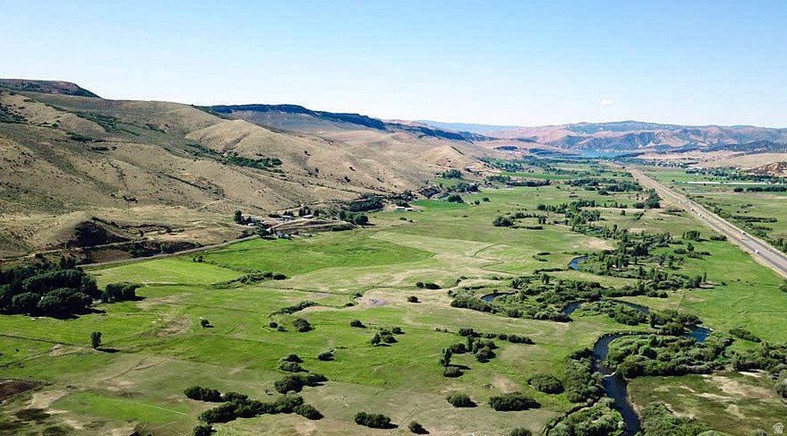
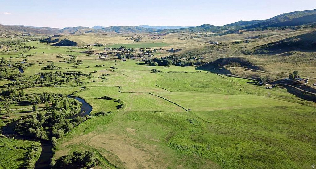
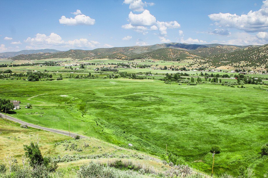
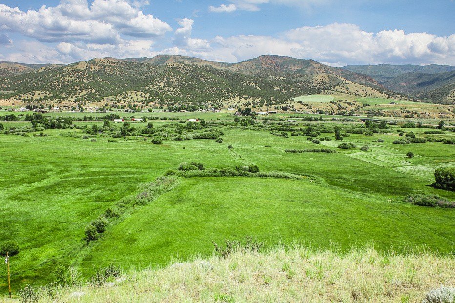
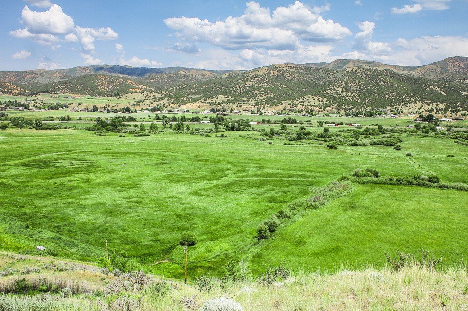
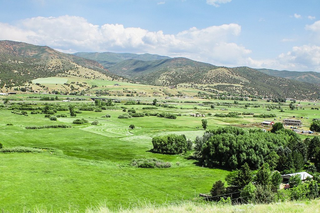
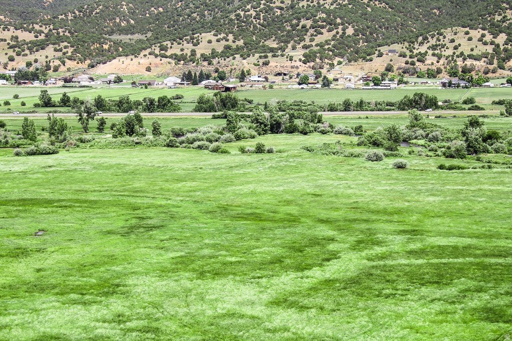
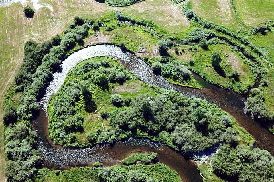
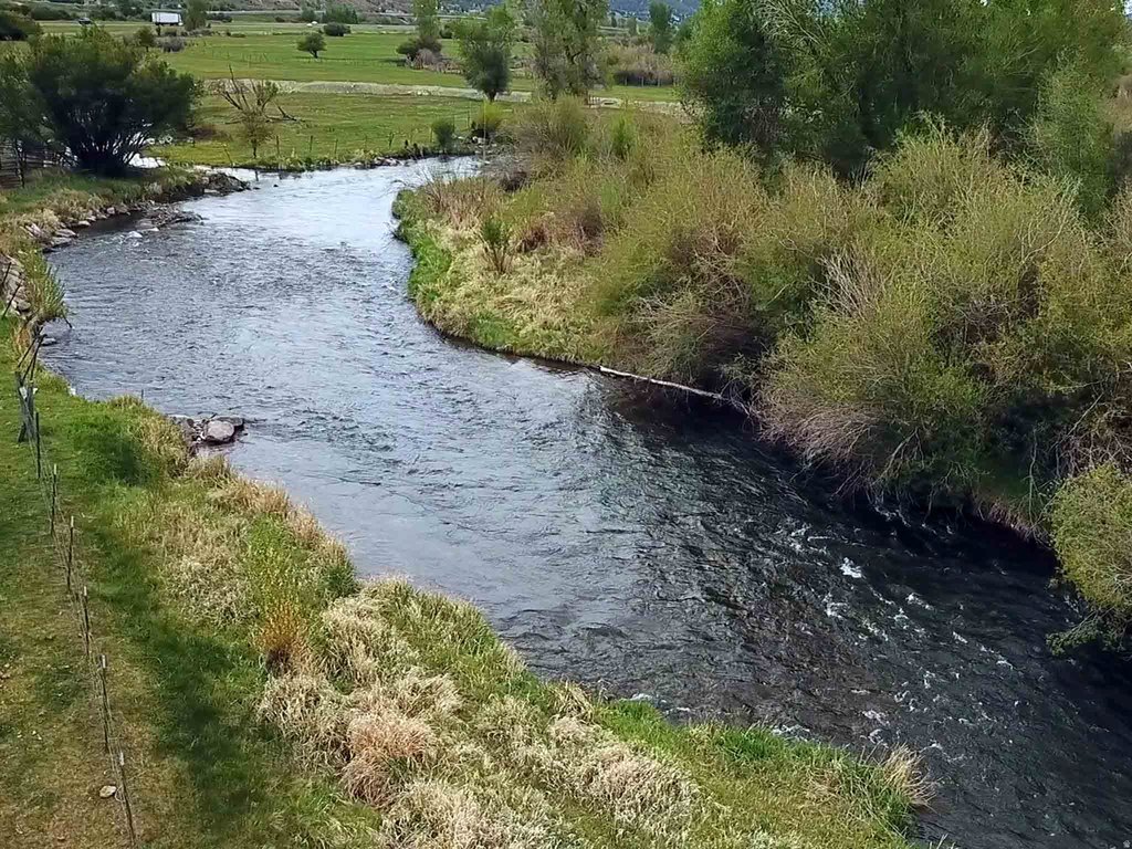
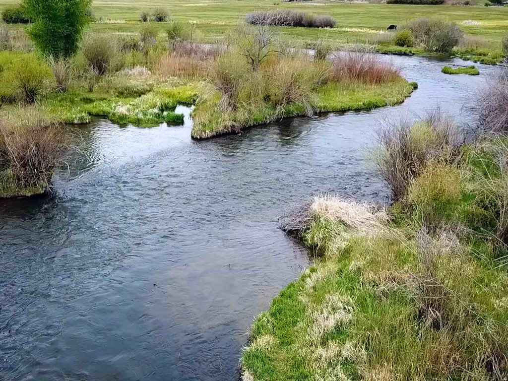
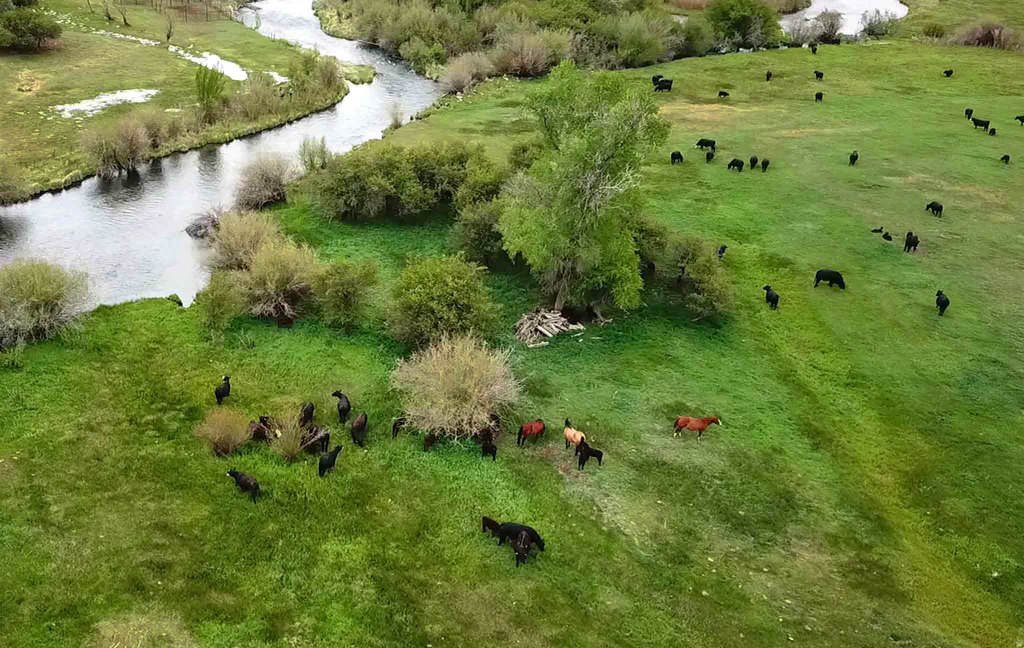
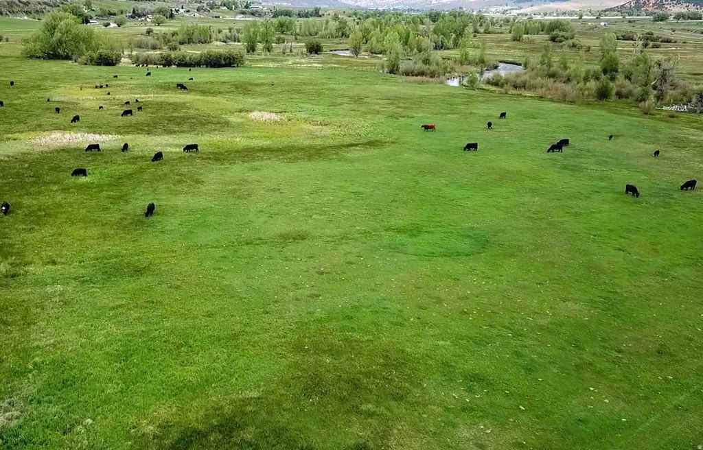
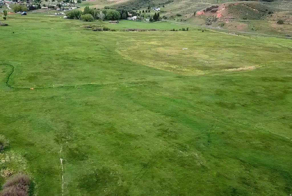
This 81.59-acre agricultural holding consists of three parcels along the Weber River in Hoytsville, Utah. The property includes more than 4,000 feet of river frontage, extensive water rights, and an access easement at the south end. Agricultural zoning and a 10-acre minimum for the lower parcels support continued farming and grazing, subject to verification of applicable requirements.
The land is positioned 15 minutes from Park City with immediate access to the I-80 corridor. The river corridor and meadow setting provide a combination of agricultural utility and outdoor-oriented land characteristics. Water rights may support hay production, while the acreage also accommodates livestock grazing and recreational uses identified for the property. Buyer to verify all information.
The land is positioned 15 minutes from Park City with immediate access to the I-80 corridor. The river corridor and meadow setting provide a combination of agricultural utility and outdoor-oriented land characteristics. Water rights may support hay production, while the acreage also accommodates livestock grazing and recreational uses identified for the property. Buyer to verify all information.
Key Highlights
- 81.59 acres across three parcels
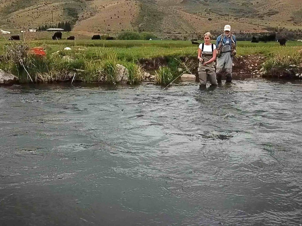
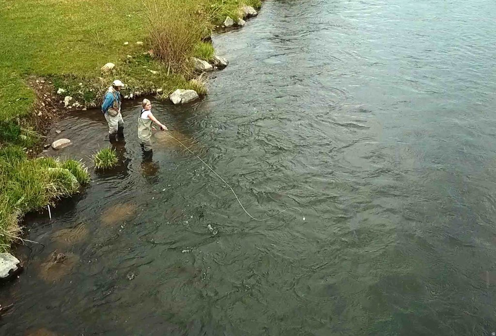
- More than 4,000 feet of Weber River frontage
- Extensive water rights included
Property Analytics
Current Use
Lease Details
Yes
Highway access
Yes
Paved road access
Yes
Water rights
Location Intelligence
Trade Area within ½ mile
1
Businesses Nearby
Explore this area
Business Placement
Demographics for 84017, UT
4,076
Population
2,218
Households
1.8
Avg Household Size
38
Median Age
26%
College-Educated
89%
High-School Grad
525.7 sq mi
ZIP Area
8
Density / Sq Mi
$88,811
Median Household Income
$50,556
Median Earnings
$1,256
Median Rent
$547,300
Median Home Value

Questions? Ask Rey
Realmo’s AI knows this listing — price, zoning, demand, history. Ask anything.
Frequently Asked Questions
What type of property is this?
Agricultural land / Farmland - Agricultural zoning, established water rights, and river frontage support hay production, livestock grazing, and recreational use.
Where is this agricultural land / farmland located?
The property is located at Hoytsville, UT.
What is the asking price?
The asking price for this property is $4,900,000.
What are key features of this property?
This property features: 81.59 acres across three parcels; More than 4,000 feet of Weber River frontage; Extensive water rights included


