Timber and Hunting
For Sale
$695,000
Tbd La Hwy 1039, Holden, LA 70744
LAND - Holden, LA
Lot Size139.00 Acres
Days on Market189
Property Features for Tbd La Hwy 1039
General Information
Property type
Land
Property subtype
Other
High school district
000000
Standard status
Active
Lot size
139.00 Acres
Listing Agency:
America's Land Partners - Louisiana
(800) 560-4143
Listed By:
Lewis Peters
Added: Jan 22
Changed: Jul 16
Last Checked: Jul 30 at 11:06AM
MLS# 11637740
Copyright © 2026 My State MLS. All rights reserved. All information provided by the listing agent/broker is deemed reliable but is not guaranteed and should be independently verified.
Investment Insights
Based on property information with market context.
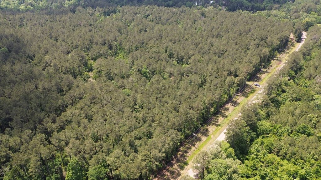
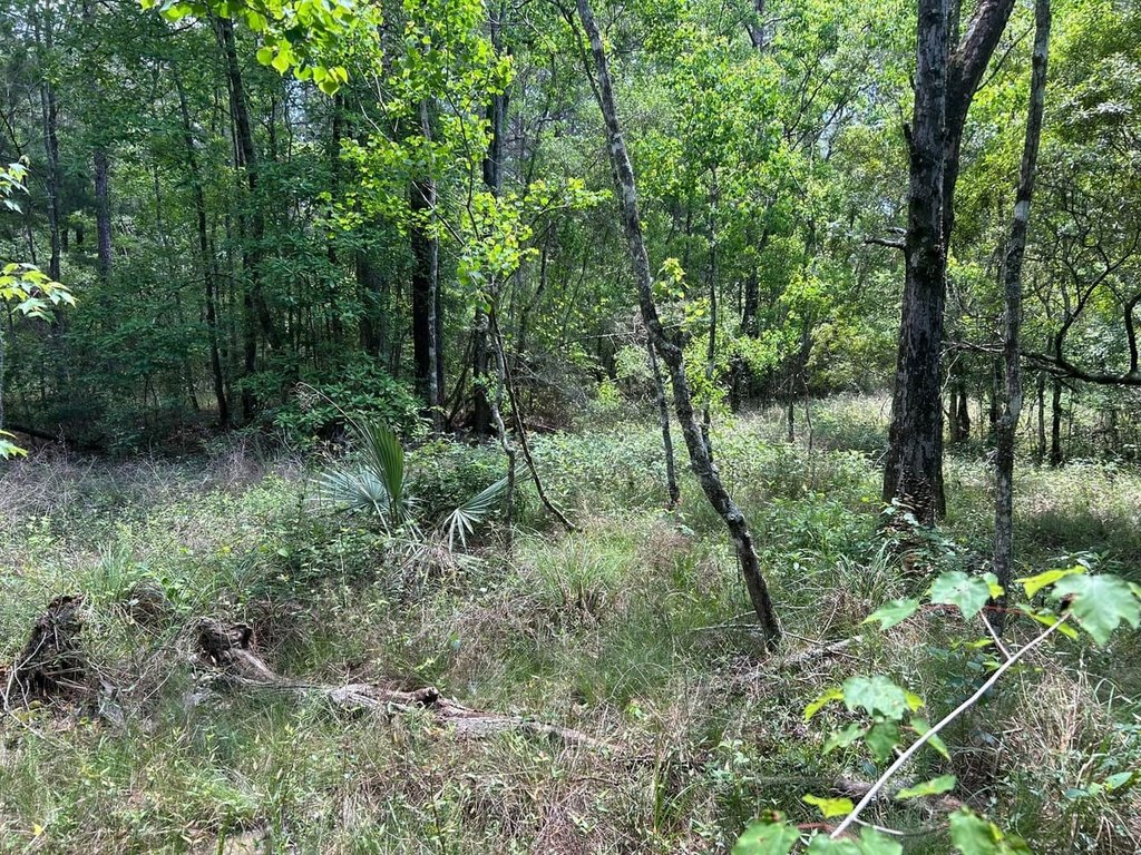
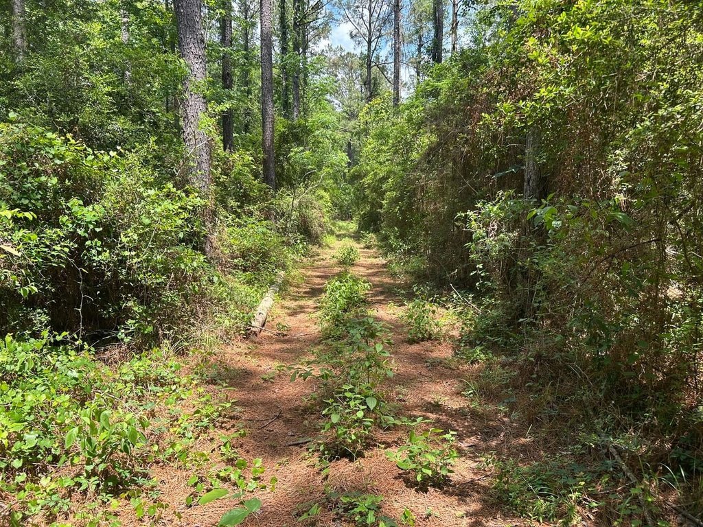
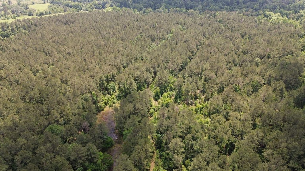
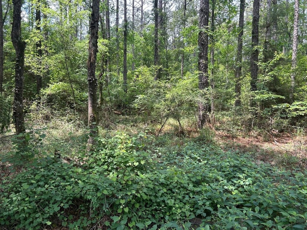
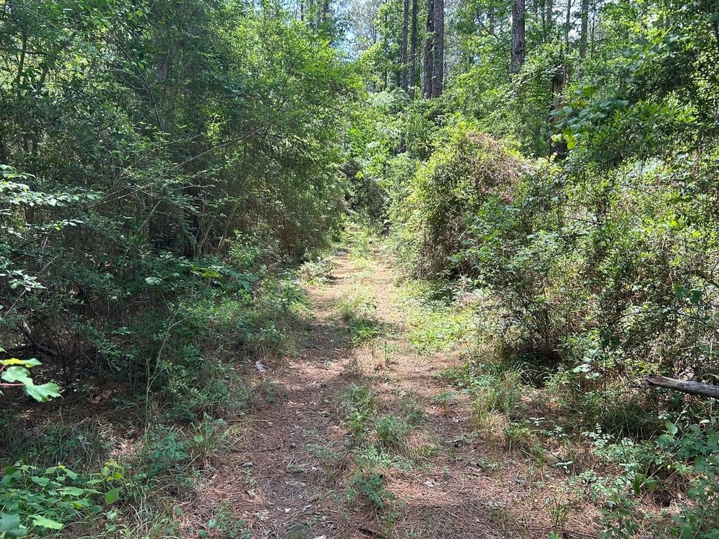
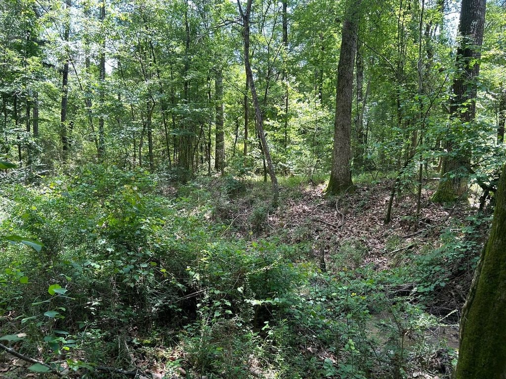
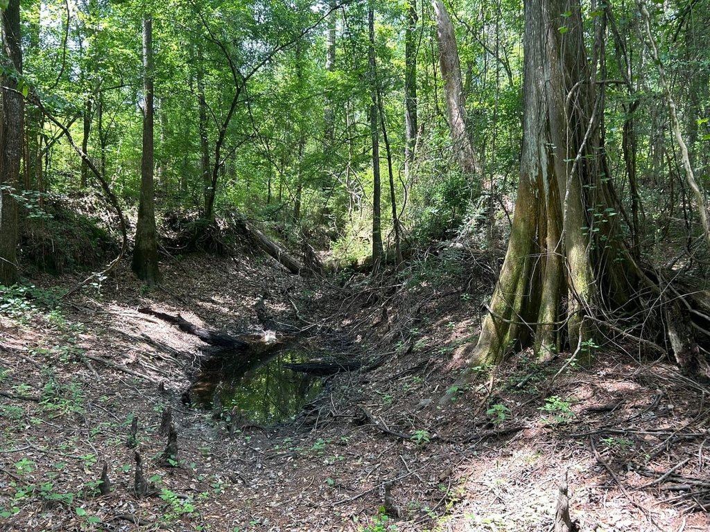
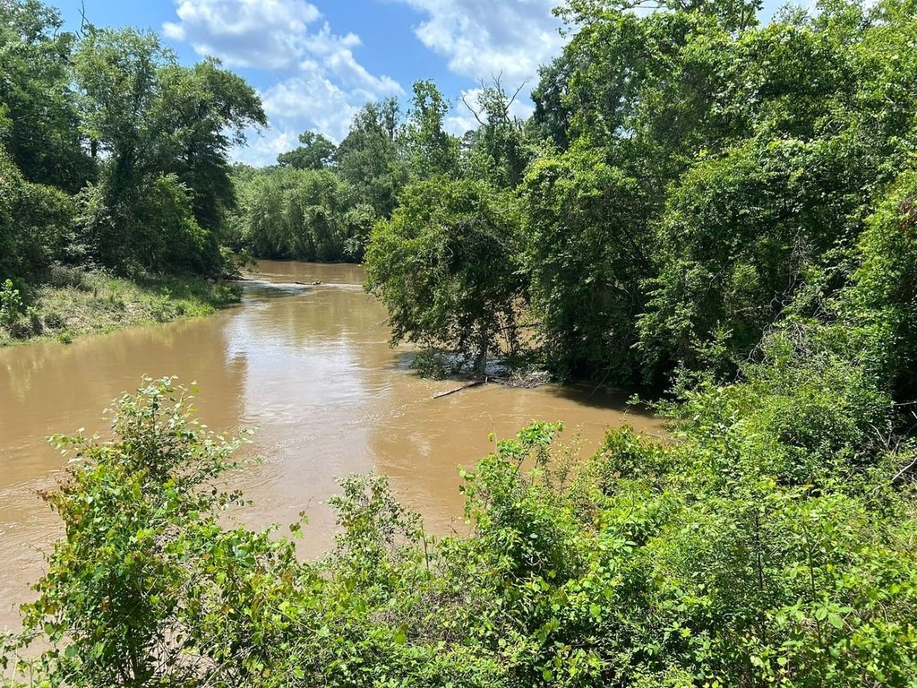
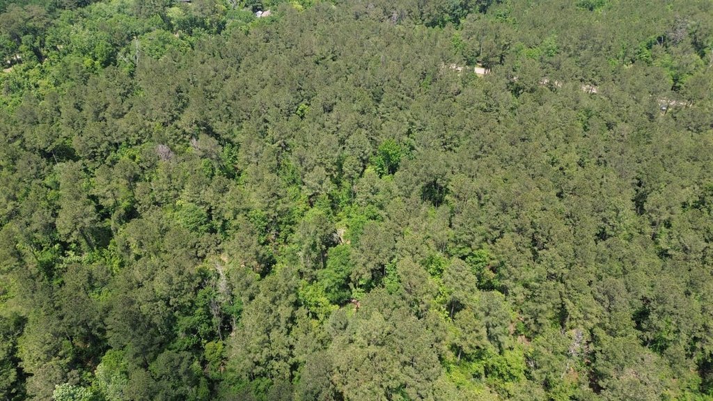
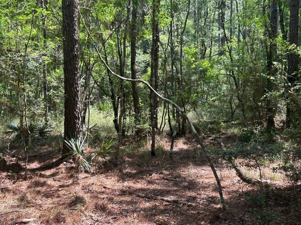
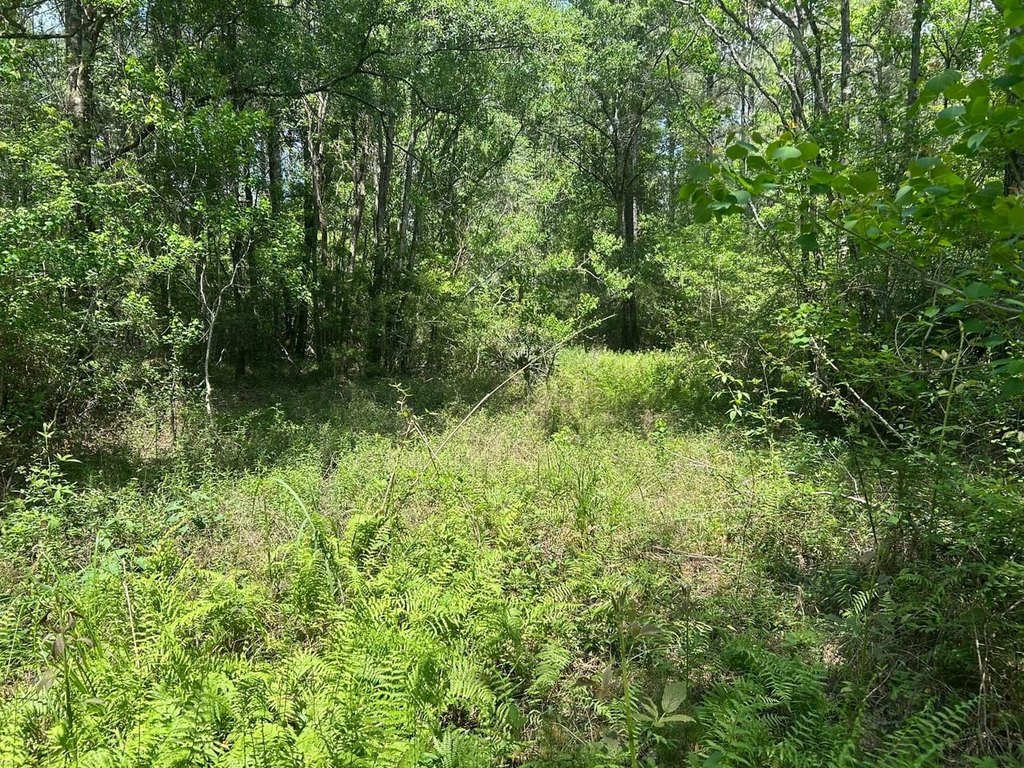
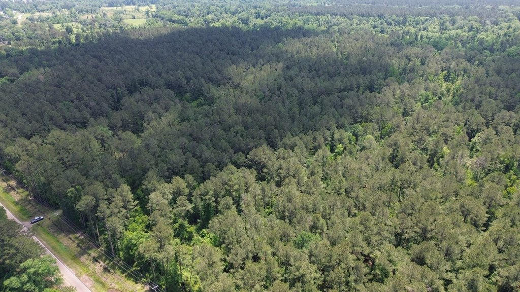
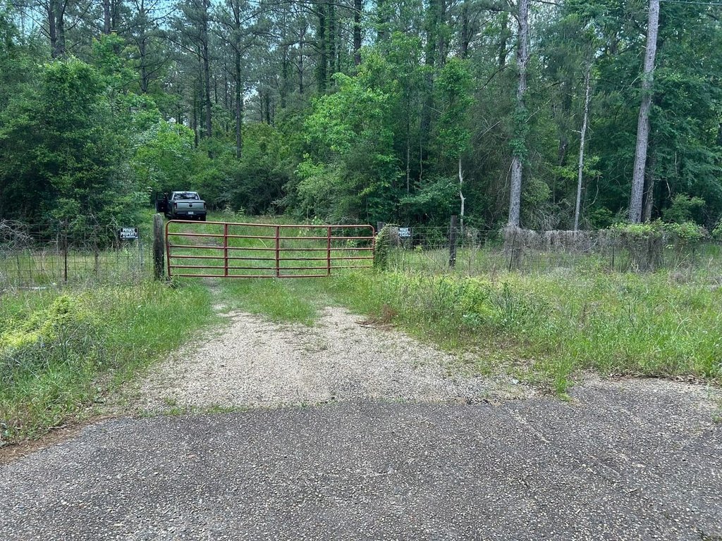
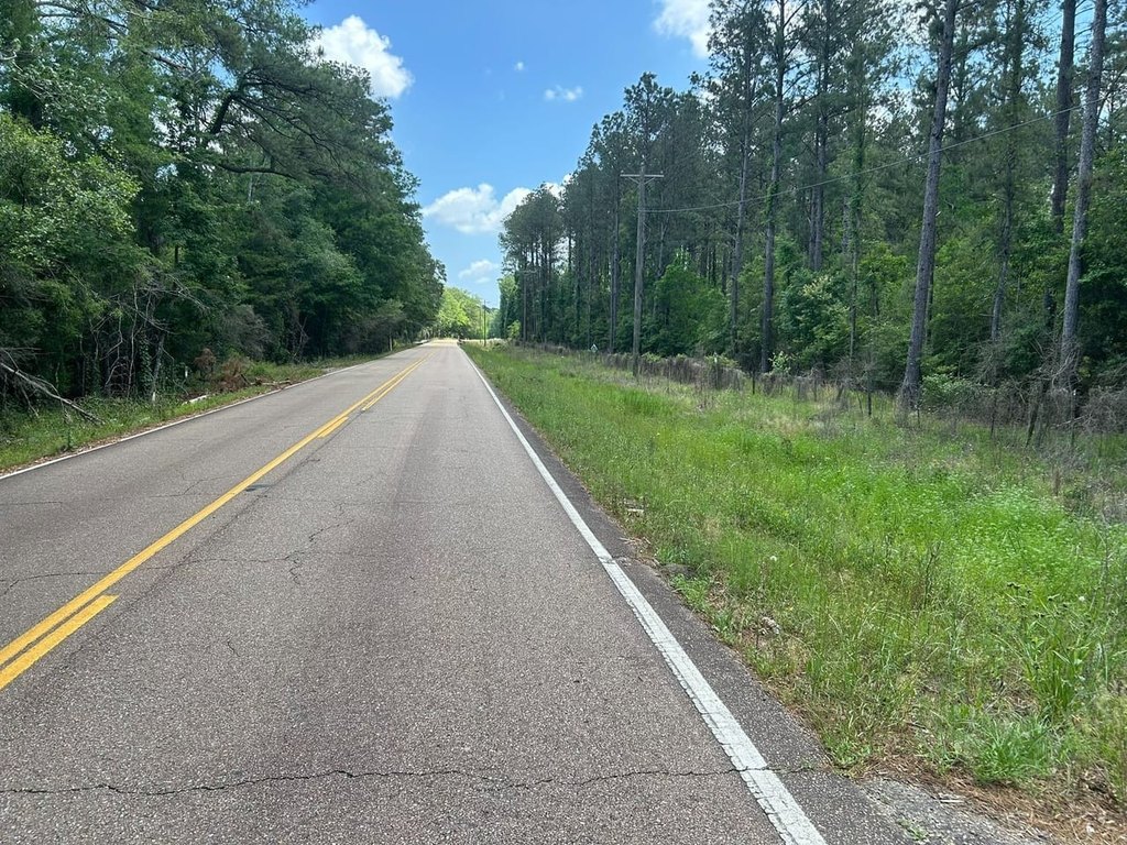
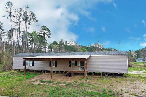
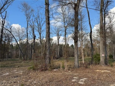
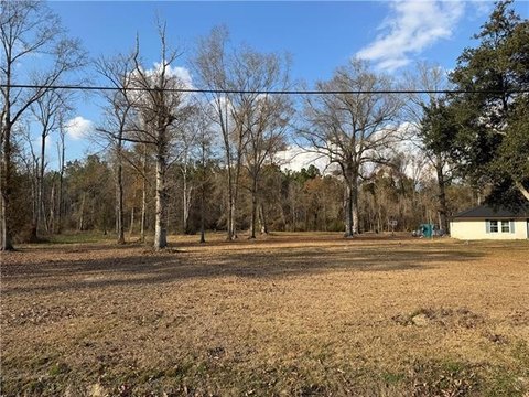
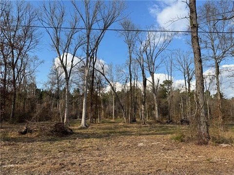
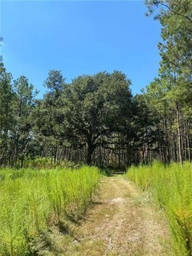
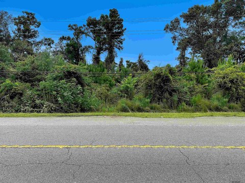
This for-sale timber and hunting tract in Livingston Parish features mature pine timber along with hardwood river bottoms. The property is described as having diverse terrain that supports hunting and other outdoor recreation, including deer, turkey, and waterfowl. Utilities are already in place, providing a straightforward path for building a weekend cabin or hunting lodge.
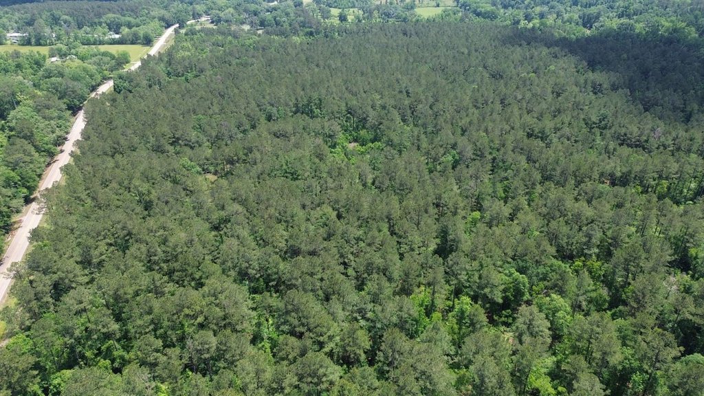
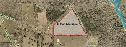
The tract fronts LA Highway 1036 and is located just outside the city of Holden, with access noted as a few miles north of LA Highway 190. The listing also states the location is convenient to Hammond and Baton Rouge while maintaining privacy for outdoor use.
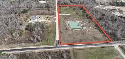
The land size is listed as 139 acres. Overall, the configuration is positioned as a combined timber and recreational property, with both established timber and younger growth areas noted in the remarks.
The tract fronts LA Highway 1036 and is located just outside the city of Holden, with access noted as a few miles north of LA Highway 190. The listing also states the location is convenient to Hammond and Baton Rouge while maintaining privacy for outdoor use.
The land size is listed as 139 acres. Overall, the configuration is positioned as a combined timber and recreational property, with both established timber and younger growth areas noted in the remarks.
Key Highlights
- Timber and hunting tract in Livingston Parish just outside Holden, fronting LA Highway 1036
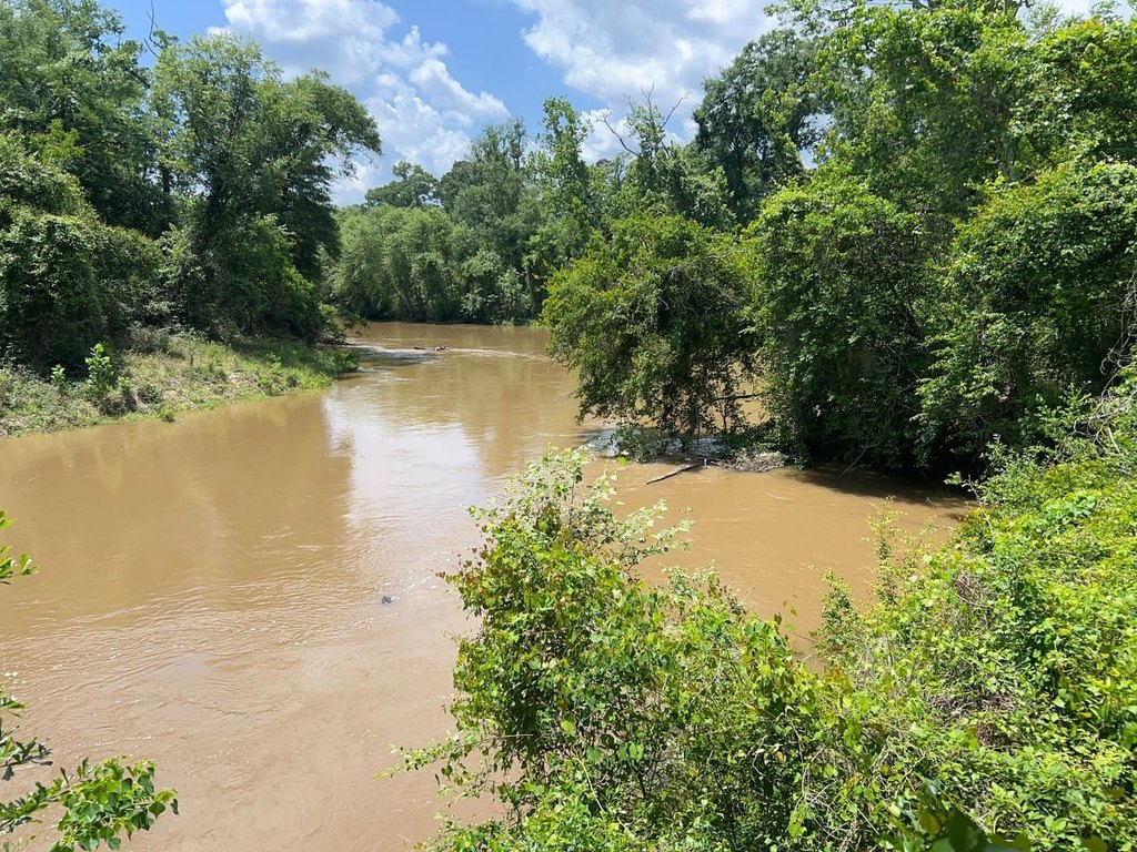
- Hardwood river bottom along the Tickfaw River for wildlife habitat and hunting opportunities
- Habitat supports deer, turkey, waterfowl, and other game species
Property Analytics
Current Use
Lease Details
Yes
Highway access
Yes
Paved road access
Yes
Utilities to site
Location Intelligence
Trade Area within ½ mile
3
Businesses Nearby
Explore this area
Business Placement
Demographics for 70744, LA
5,667
Population
1,996
Households
2.8
Avg Household Size
39
Median Age
12%
College-Educated
75%
High-School Grad
102.9 sq mi
ZIP Area
55
Density / Sq Mi
$43,056
Median Household Income
$48,918
Median Earnings
$892
Median Rent
$130,800
Median Home Value

Questions? Ask Rey
Realmo’s AI knows this listing — price, zoning, demand, history. Ask anything.


Frequently Asked Questions
What type of property is this?
Hunting land - Hunting and timber property with mature pine stands and hardwood river bottoms along the Tickfaw River.
Where is this hunting land located?
The property is located at Tbd La Hwy 1039 Holden, LA.
What is the asking price?
The asking price for this property is $695,000.
What are key features of this property?
This property features: Timber and hunting tract in Livingston Parish just outside Holden, fronting LA Highway 1036; Hardwood river bottom along the Tickfaw River for wildlife habitat and hunting opportunities; Habitat supports deer, turkey, waterfowl, and other game species


