Highway 7, Richland, MO 65556
- Added:
- May 6, 2026
- Days on Market:
- 40
- Last Refresh:
- Jun 14 at 12:06 pm
Property Features for Highway 7
General Information
- Property type
- Land
- Property subtype
- Other
- Exterior features
- GravelDriveway
- Standard status
- Pending
- APN
- 128028000000005014
- Lot size
- 21.78 Acres
Taxes and HOA fees
- Tax Year
- 2025
- Tax Description
- Pt Nw4 (Tract 23 Per Survey C 7485 By Carmack Surveying Inc), Pt Nw4, Pt Swne4 (Known As Tract 24 Survey C 7485 Carmack Surveying Inc), Pt Nw4 (Known As Tract 25 & 26 Survey C 7485 And Survey C 8084 Carmack Surveying Inc)
- Tax Annual Amount
- 206
Listing agent Jeffrey Browning License #2018023446 (855) 289-3478
Listing office Living the Dream Inc 515 S Franklin, Suite A, Cuba, MO (855) 289-3478
Listing date May 6, 2026
Copyright © 2026 Bagnell Dam Association of Realtors. All rights reserved. All information provided by the listing agent/broker is deemed reliable but is not guaranteed and should be independently verified.
HighLights
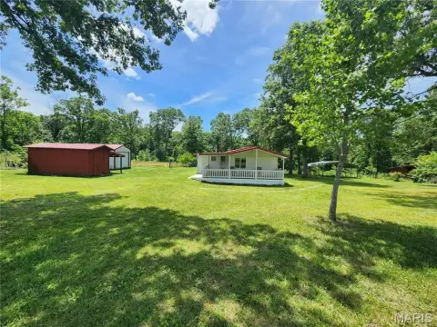
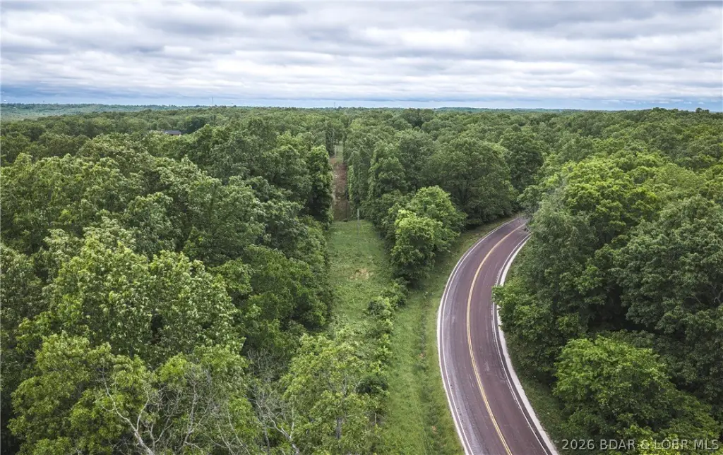
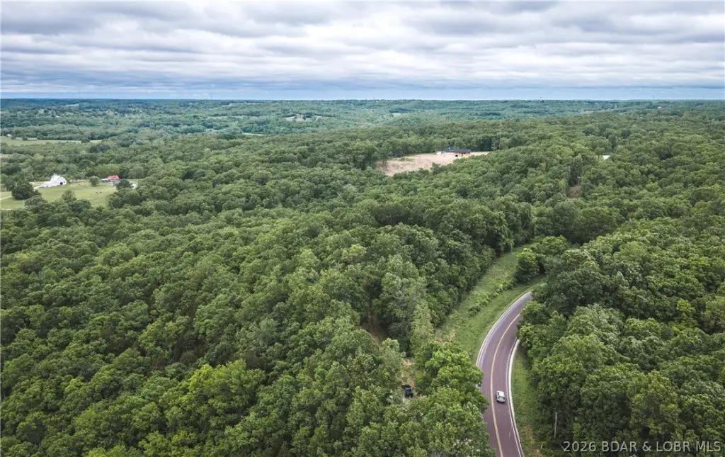
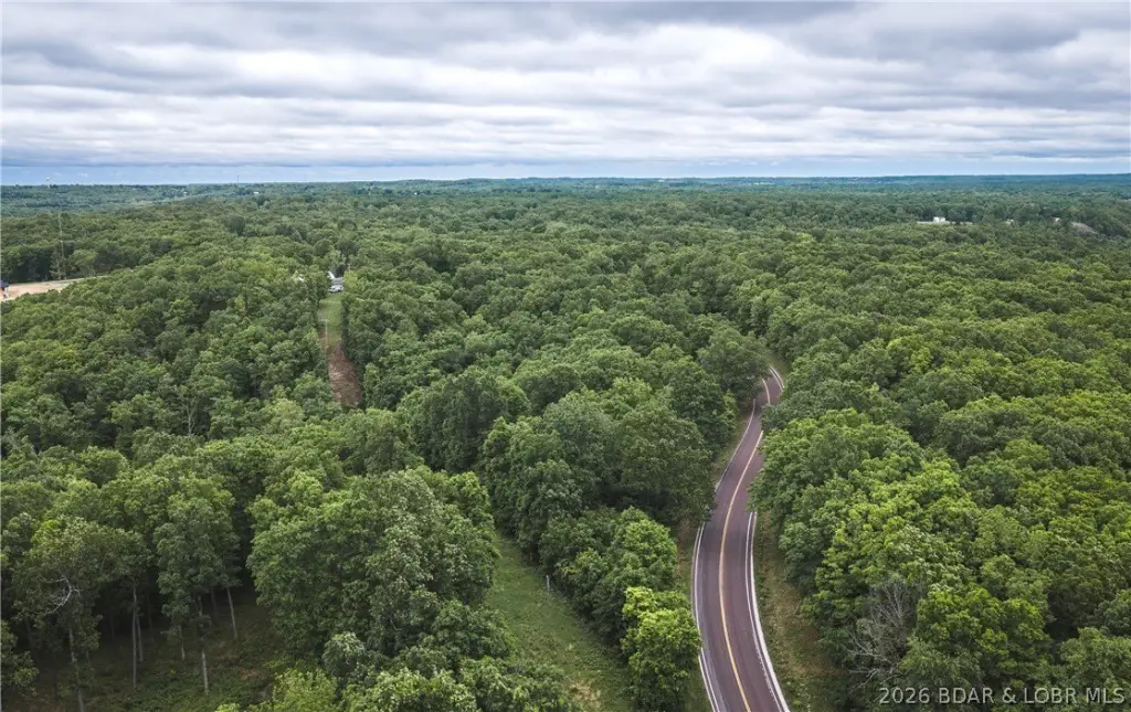
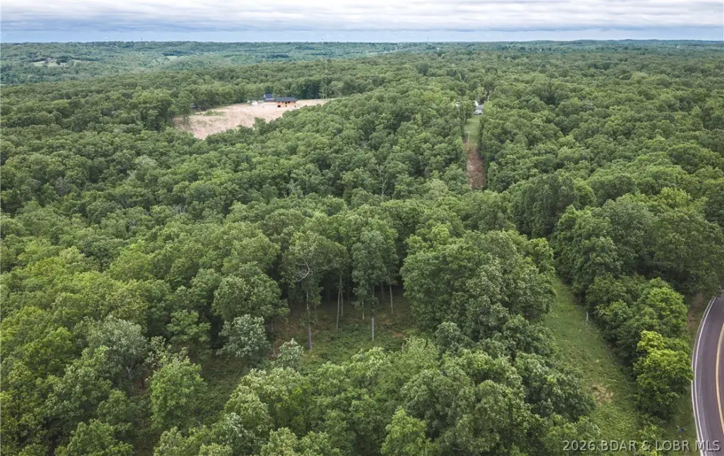
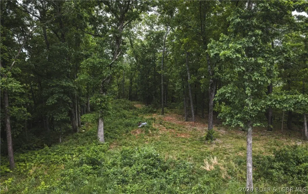
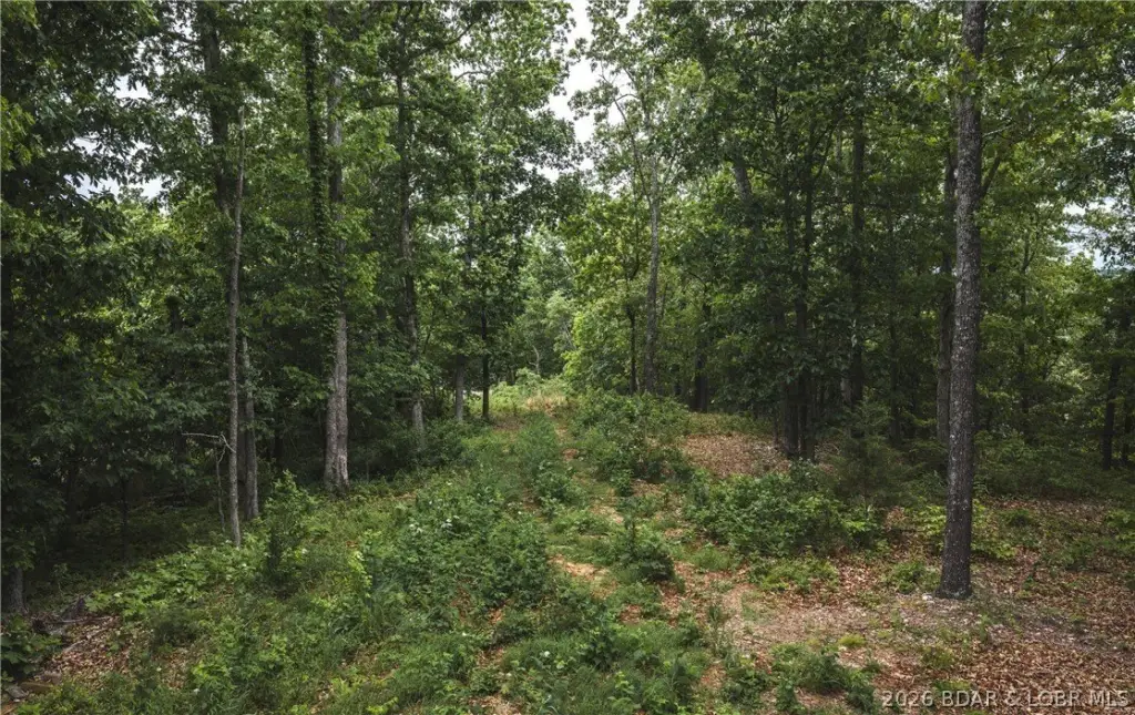
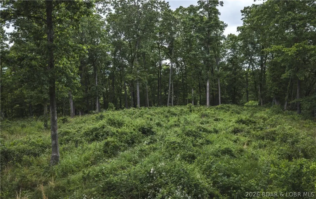
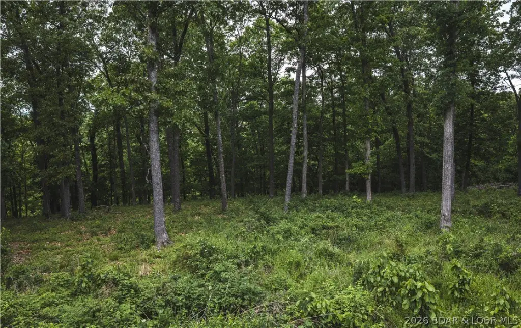
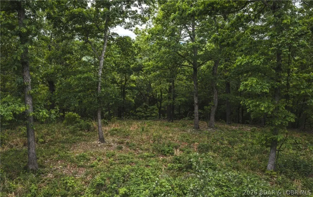
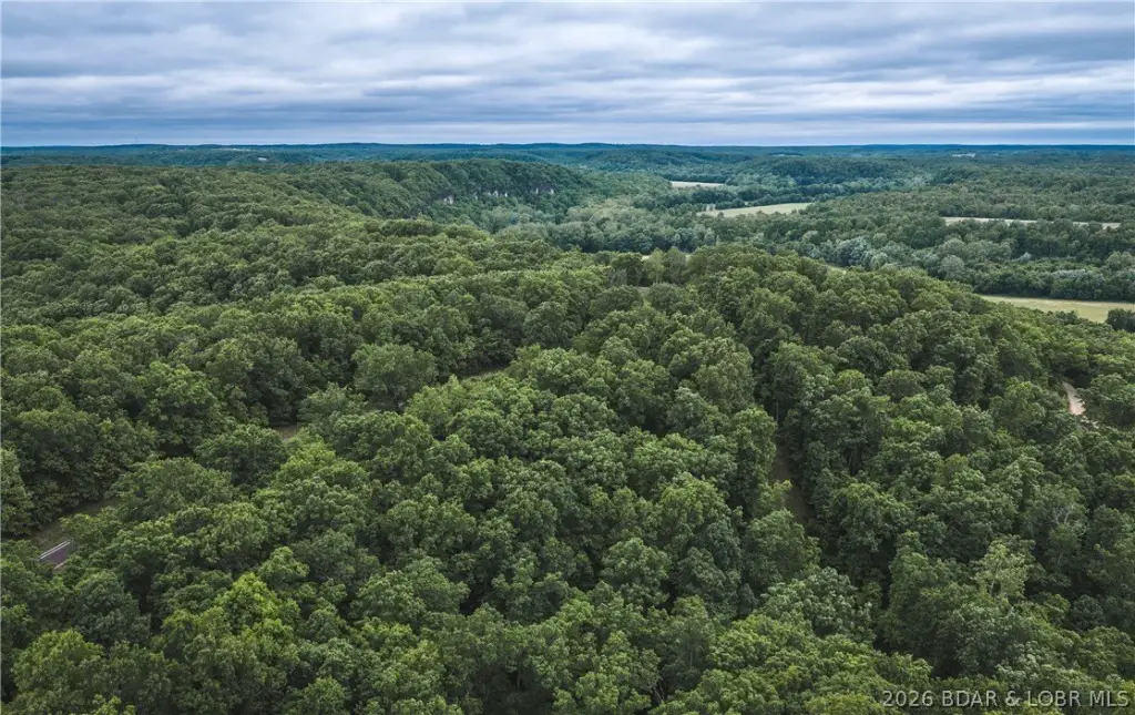
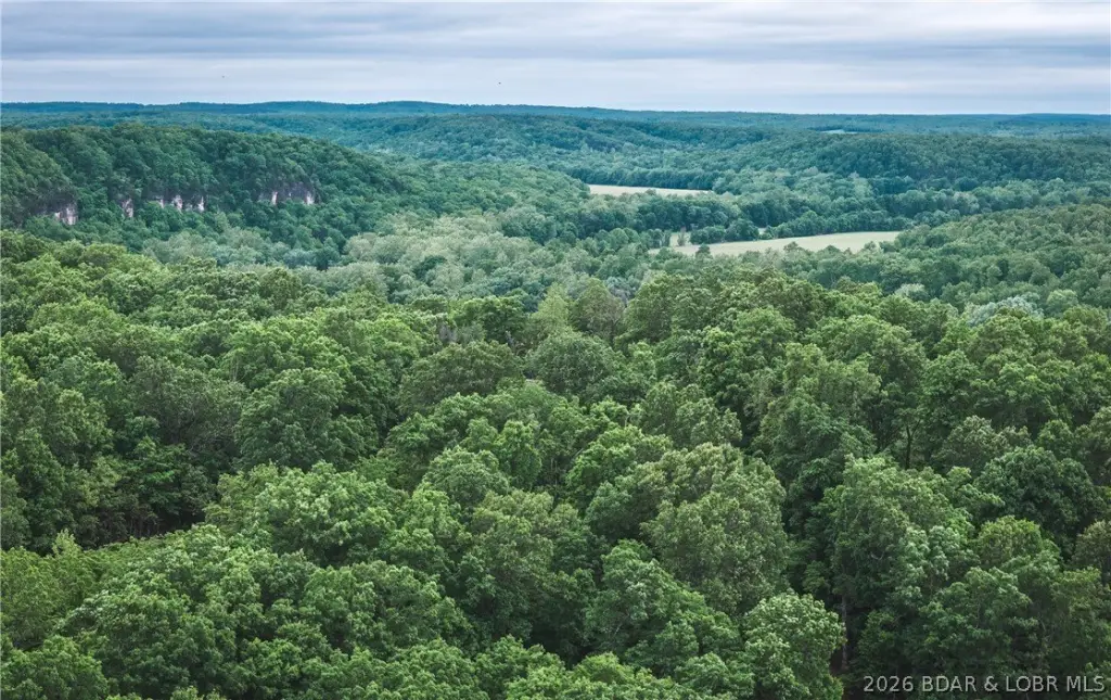
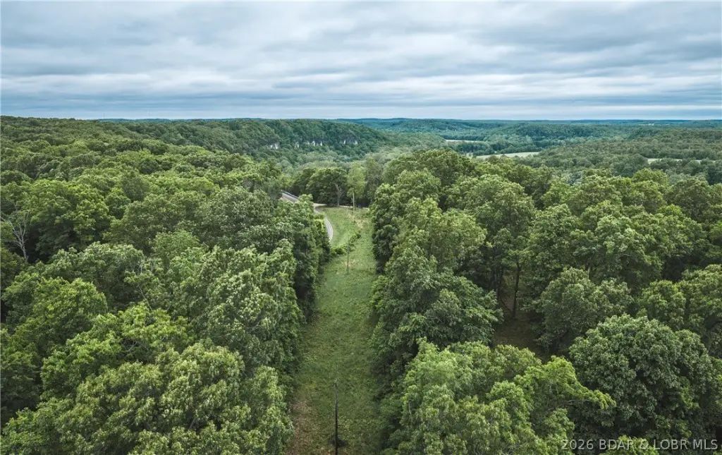
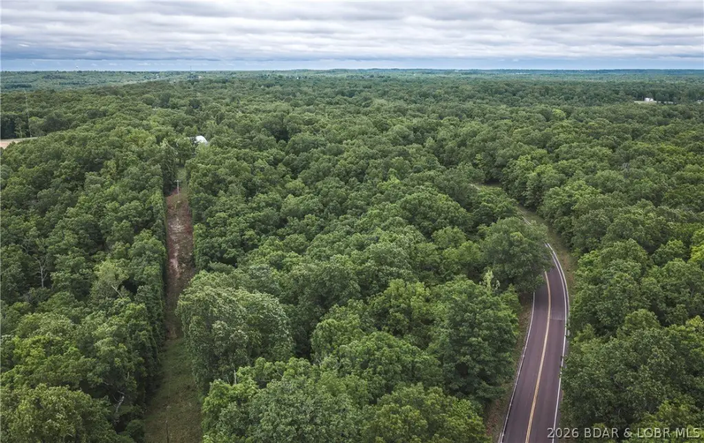
- Cleared building site with potential for exceptional views.
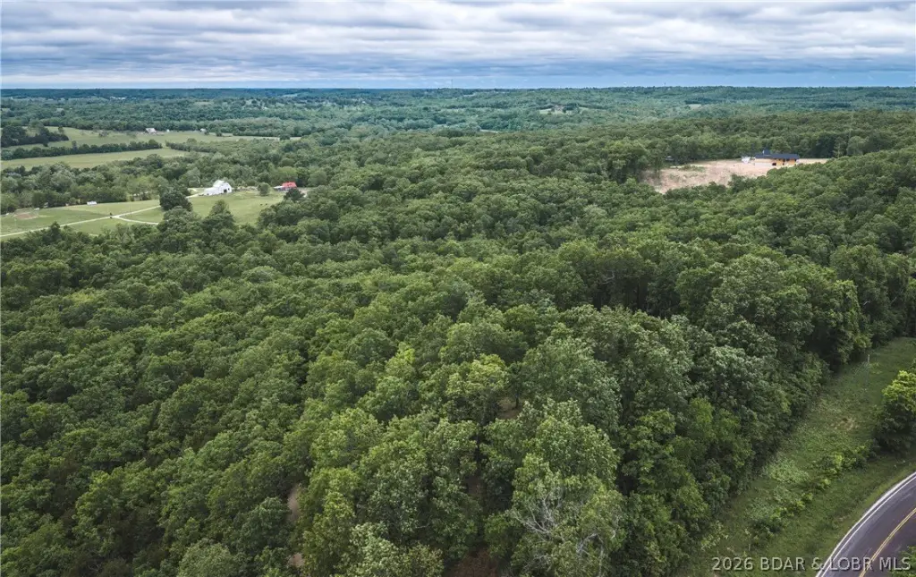
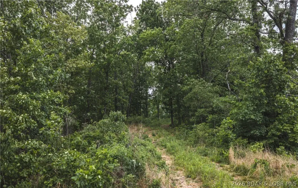
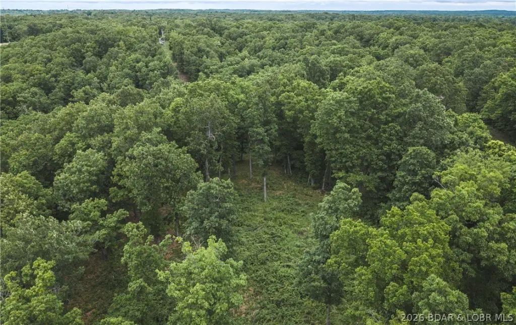
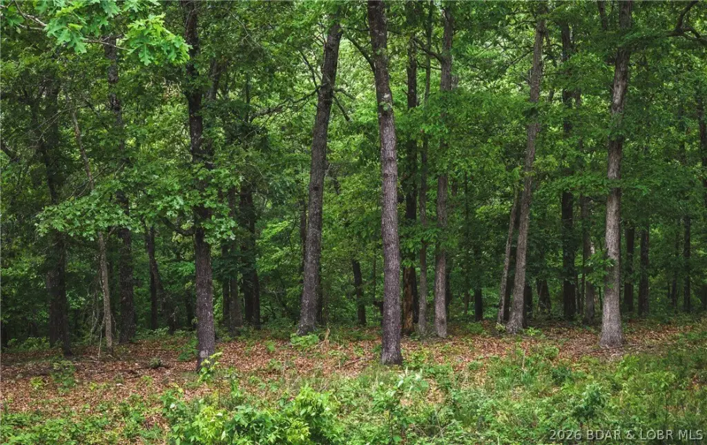
- 21 acres of wooded land with marketable timber.
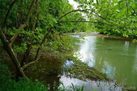
- Deeded river access via a common access point.
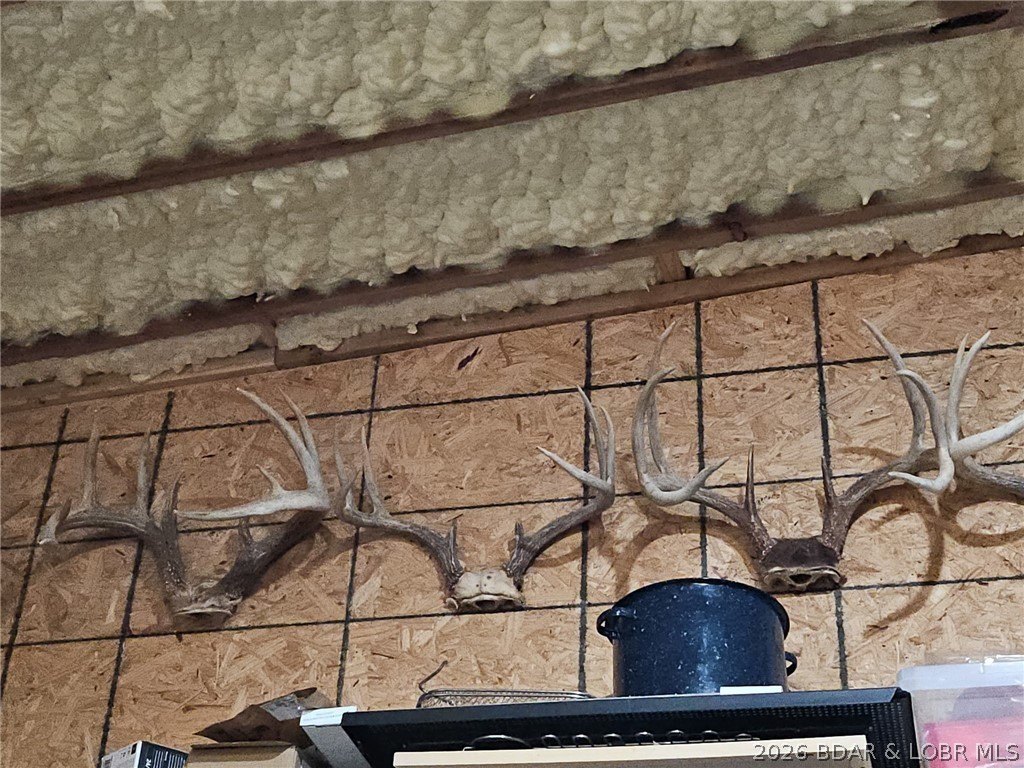
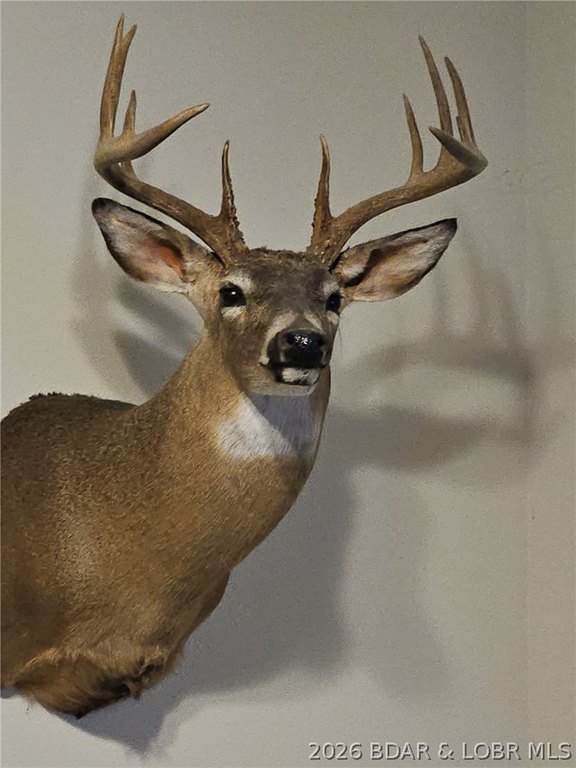
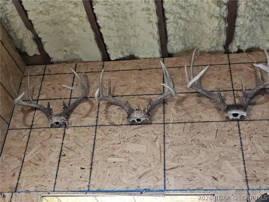
- Proven hunting area known for deer and turkey.
- Rural water and electric available along Highway 7.
- Located in Pulaski County, Missouri, offering privacy and outdoor recreation.
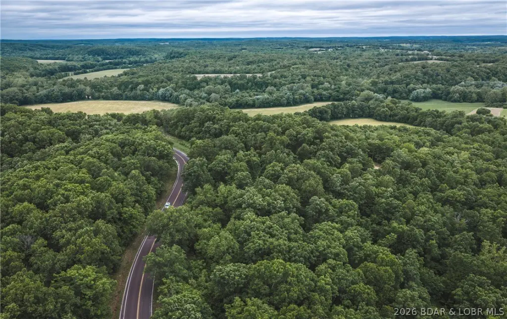
Overview
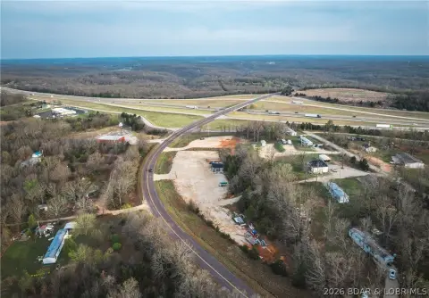
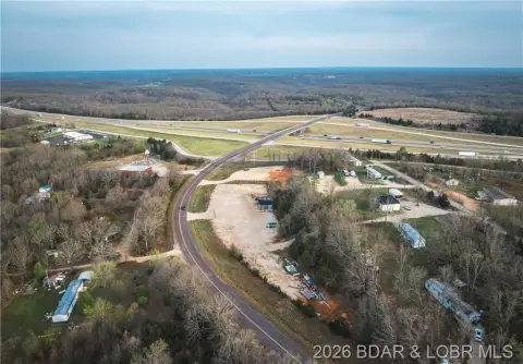
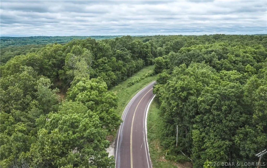
The property is located in Pulaski County, Missouri, with the building site sitting just off Highway 7. Rural water and electric are available along Highway 7, which supports development readiness. While the tract does not have direct river frontage, the deeded access provides a practical way to reach the water.
For buyers seeking a private, timbered setting that still supports construction, the combination of a cleared site and available utilities makes this tract workable for residential use. For recreational-minded owners, the property has documented hunting activity, with the area known for deer and turkey populations. It is a fit for anyone who wants acreage that supports both building plans and time outdoors.
Current Use by Public Records
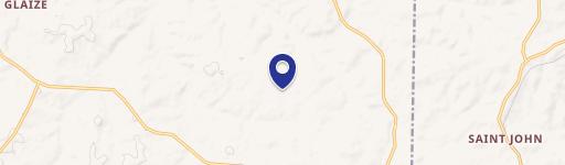
Map
- City
- Richland
- County
- Pulaski
- State
- Missouri
- Longitude
- -92.36512
- Latitude
- 37.827408