Highway 49, Gulfport, MS 39503


- Added:
- Mar 23, 2023
- Days on Market:
- 1193
- Last Refresh:
- Jun 27 at 8:06 pm
Property Features for Highway 49
General Information
- Property type
- Land
- Property subtype
- Other
- Standard status
- Active
- APN
- 0706-20-004.000
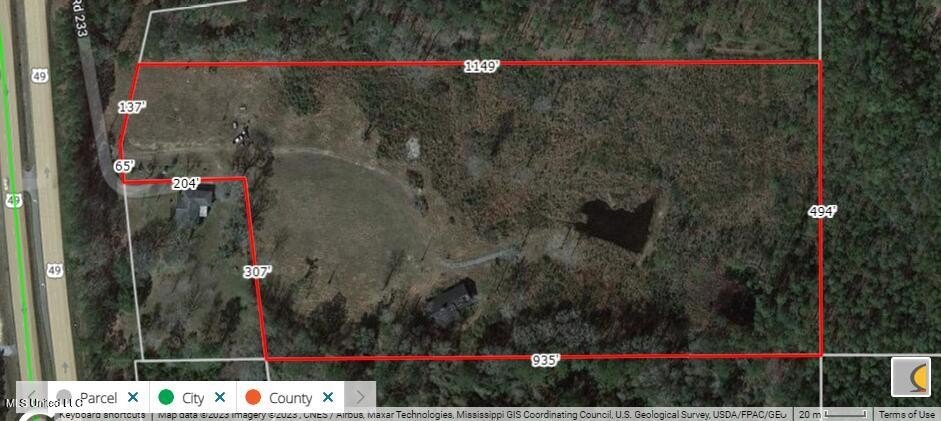
- Lot size
- 12.70 Acres
Taxes and HOA fees
- Tax Year
- 2023
- Tax Description
- 12.7 AC COM AT NE COR OF SEC 29 N 20 DG W 3403.7 FT E 45.4 FT TO NEW (2012) MAR OF HWY 49 SLY ALONG HWY 190.8 FT N 87 DG E 205.2 FT S 6 DG E 315 FT ELY 939 FT M/L TO E LINE OF SEC 29 N ALONG SEC LINE 500 FT W 1154 FT M/L TO POB PART OF SE1/4 OF NE1/4 OF SEC 20-6-11
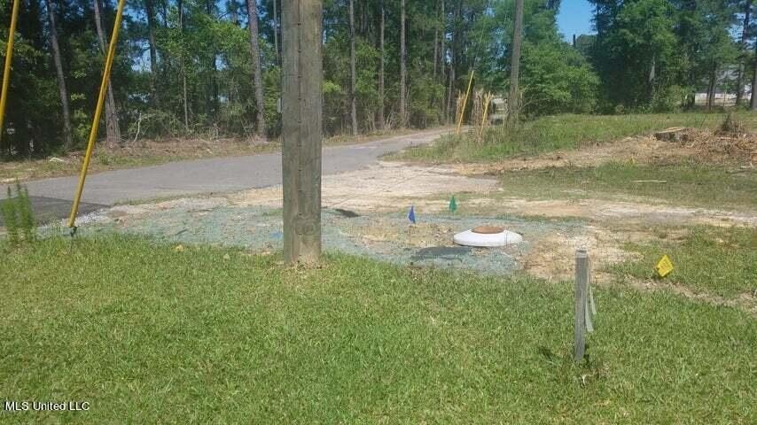
Utilities
- Utilities
- Cable Available
- Sewer type
- Public Sewer
- Water source
- Public
- Water front features
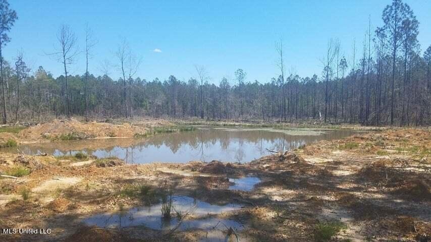
- Pond
- Water front
- 1

Listing agent James M Overstreet License #B17680 (228) 323-0607
Listing office New Horizons Realty, Inc. 17520 Orange Grove Rd, Gulfport, MS (228) 323-0607
Listing date Mar 23, 2023
Copyright © 2026 MLS United. All rights reserved. All information provided by the listing agent/broker is deemed reliable but is not guaranteed and should be independently verified.
HighLights
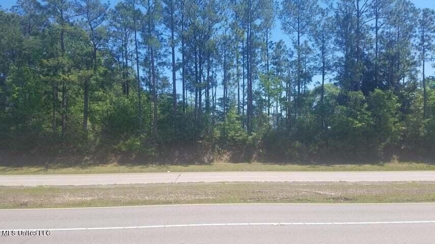
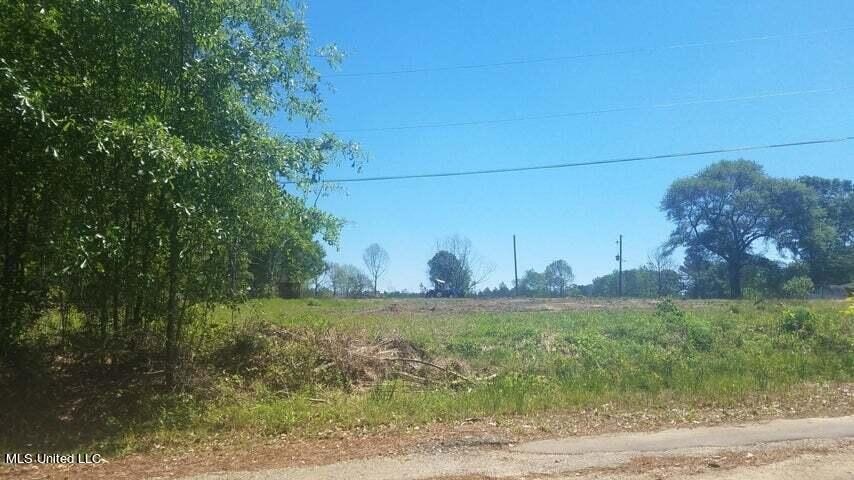
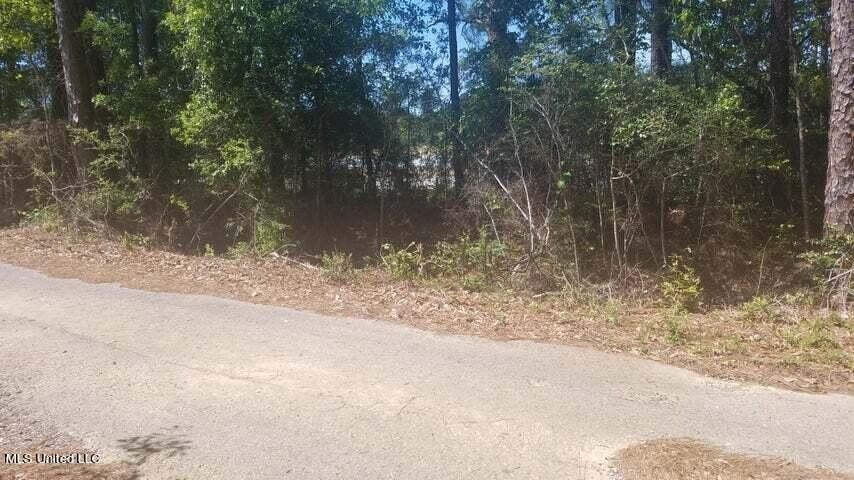
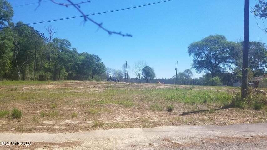
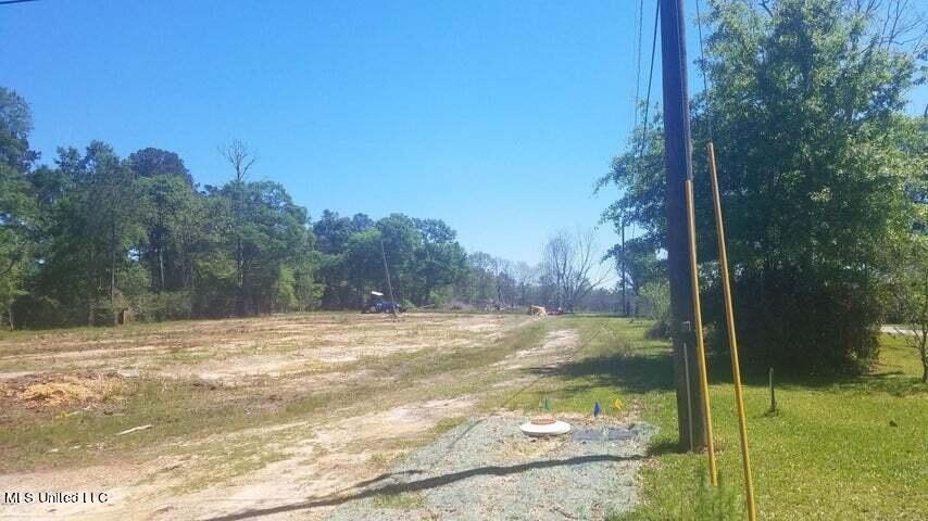
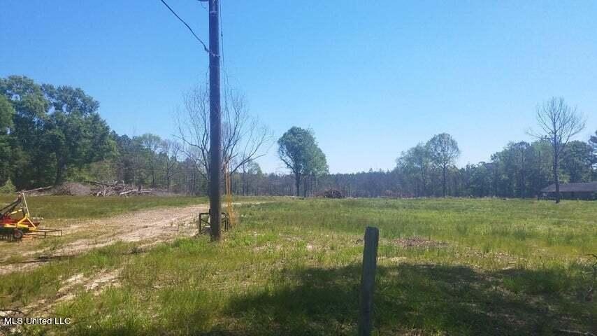
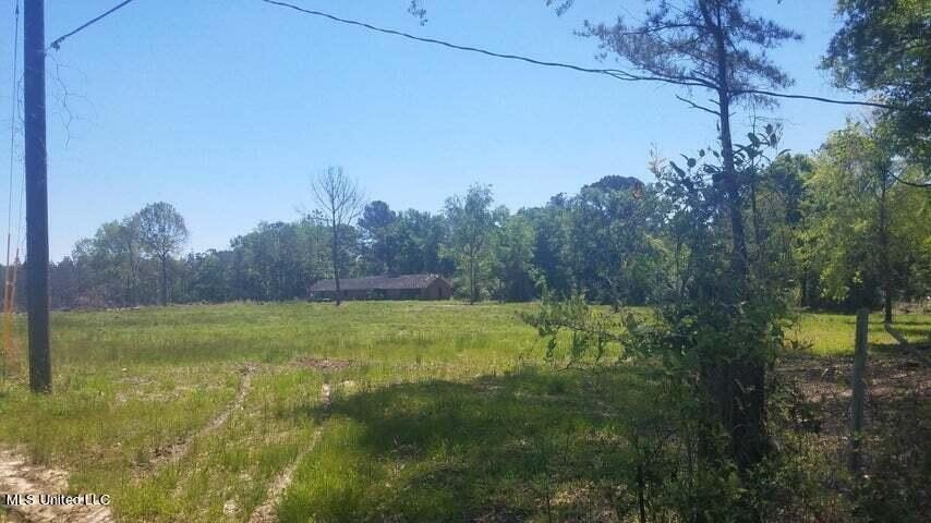
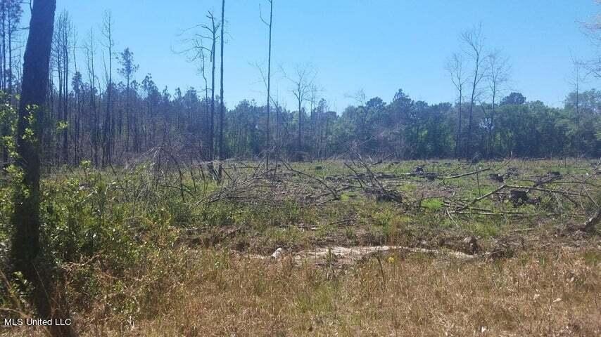
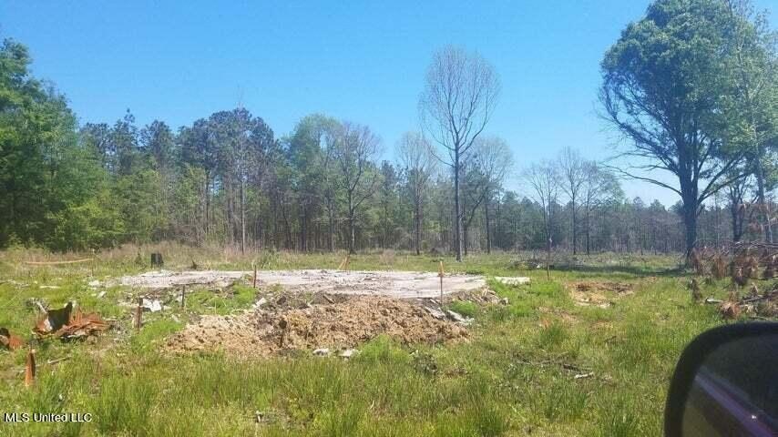
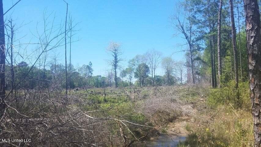
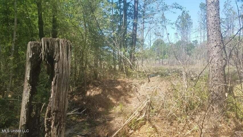
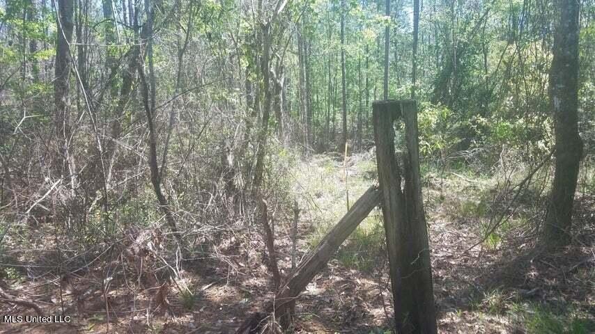
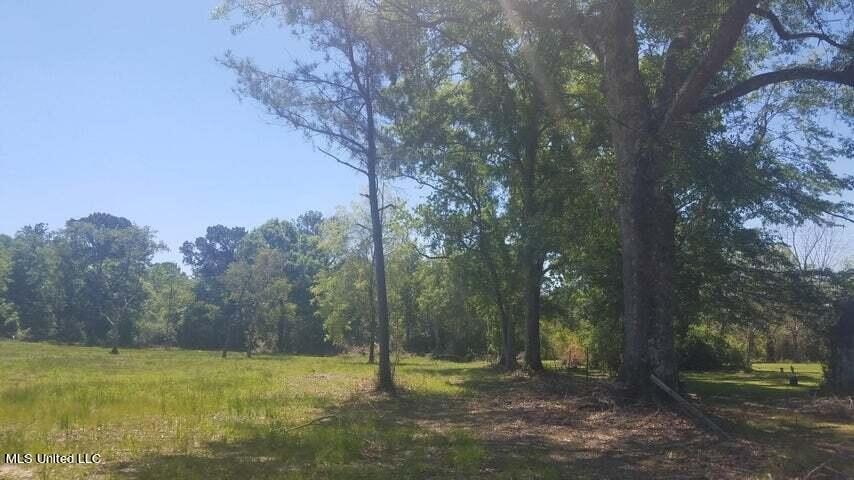
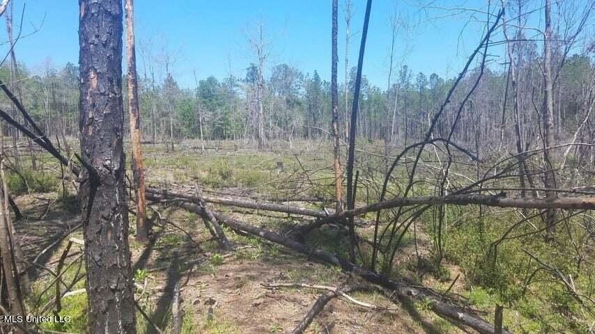
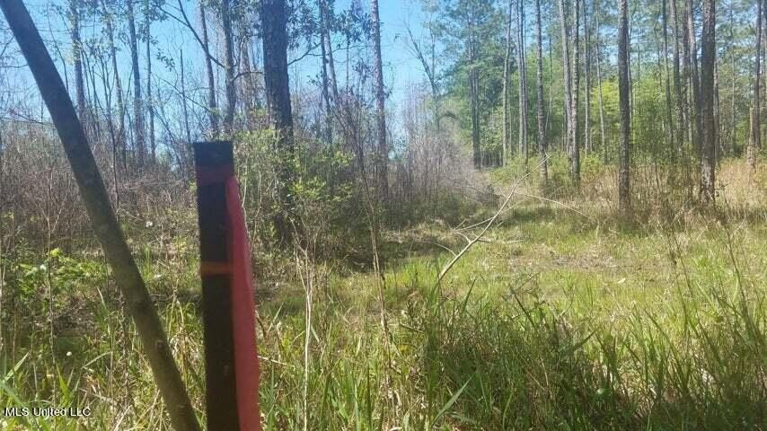
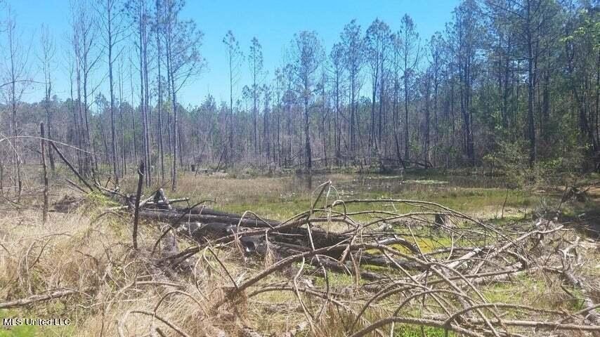
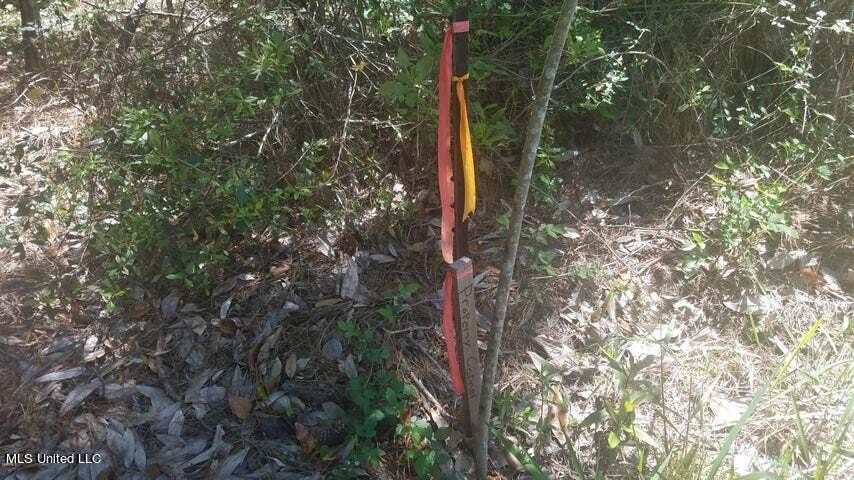
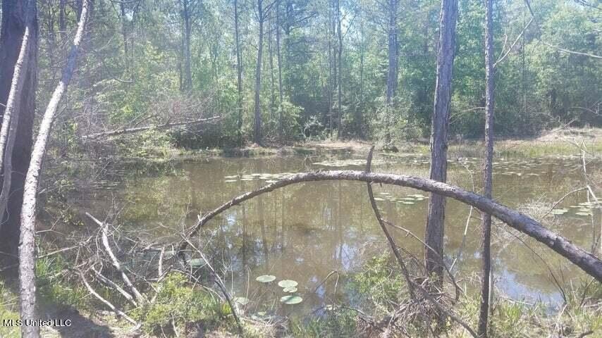
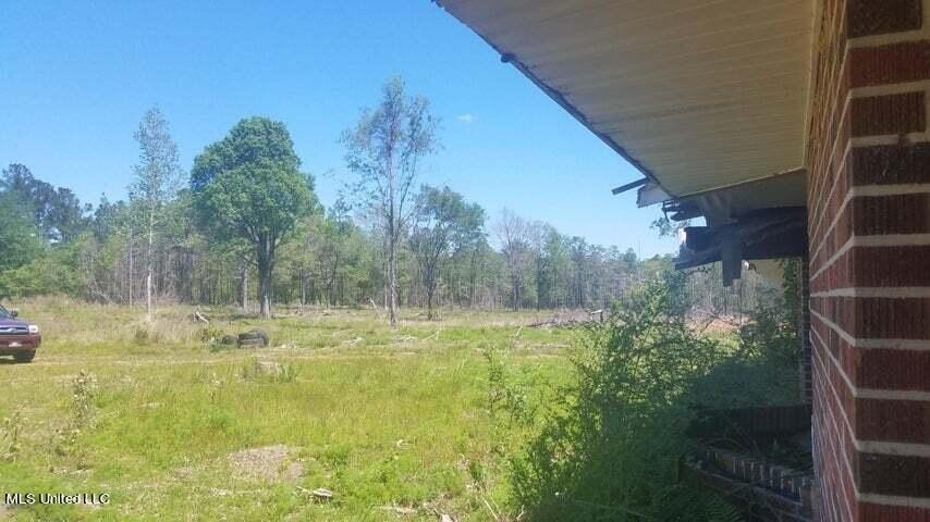
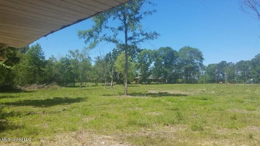
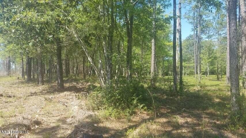
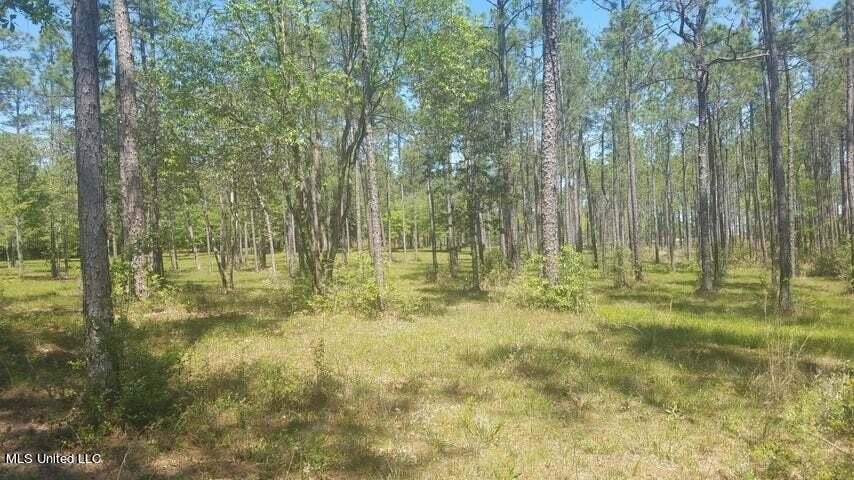
- Mostly high, dry cleared acreage with two ponds just outside city limits
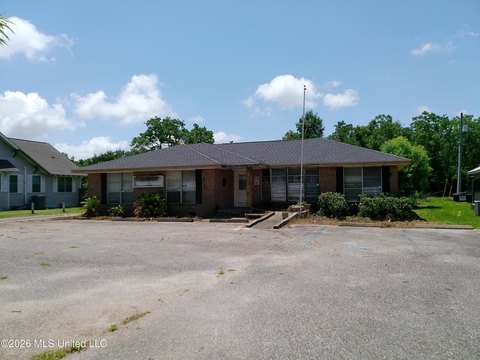
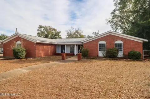
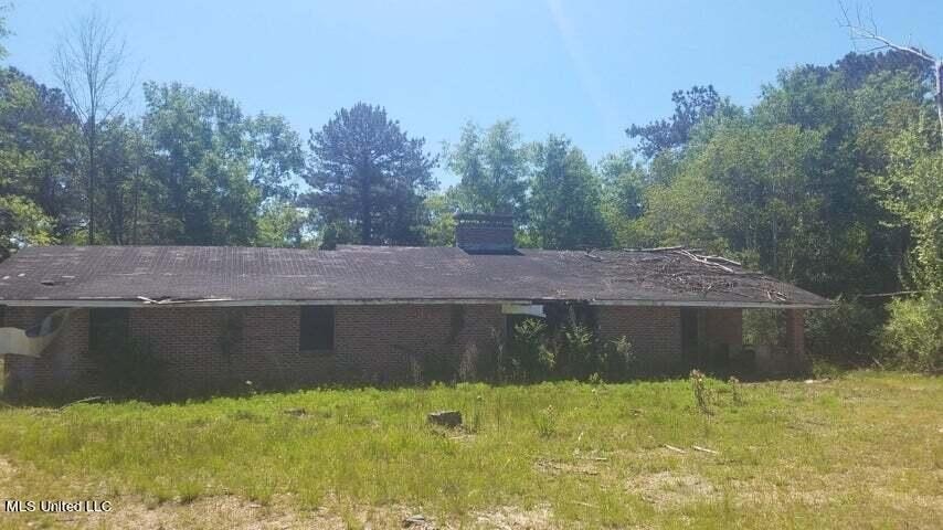
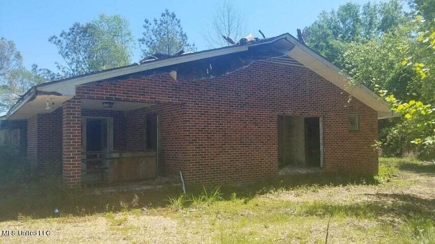
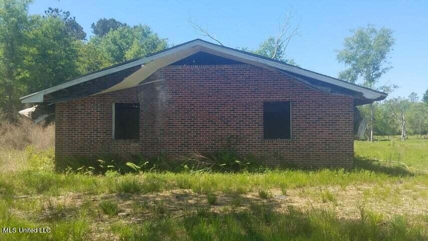
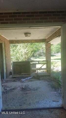
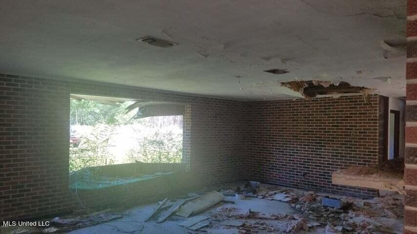
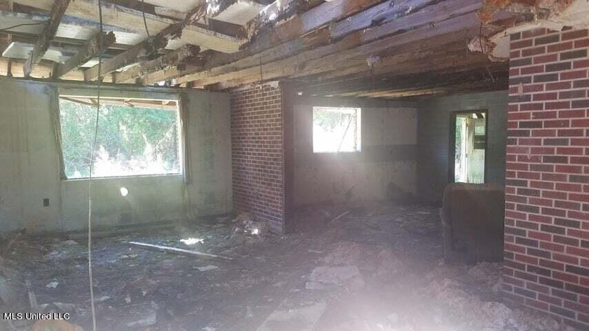
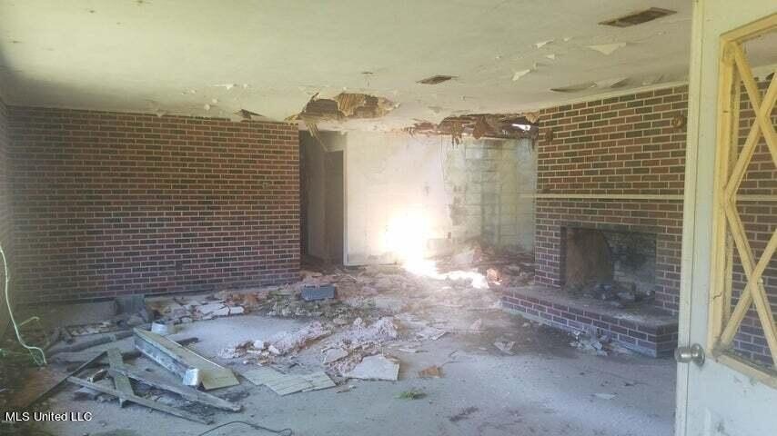
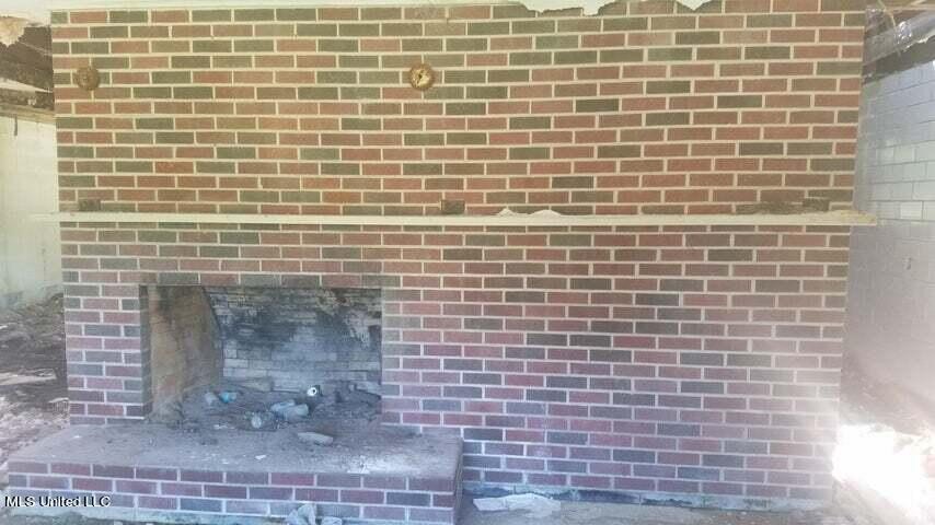
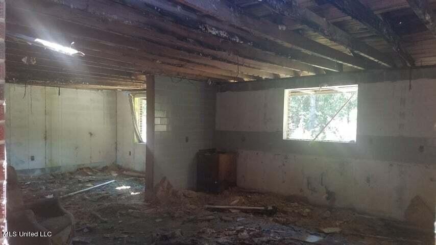
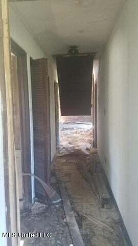
- Includes an approx. 2,789 SF 4‑bed, 2‑bath home with block exterior and interior walls wrapped in brick
- Home has terracotta tile floors in the living area and subway tile floors in the bathrooms
- Needs to be gutted and requires a new roof structure
- Zoned C2 with public water and public sewer available; cable available
- Currently accessed by Road 233; MDOT highway survey provided and highway widening is projected
Overview
The land is located about five miles north of I-10 and is currently accessed via Road 233. The listing notes that Highway 49 is projected to widen, with stakes already placed on the property, and includes an MDOT highway survey in the attachments.
This site may be a practical fit for buyers seeking C2-zoned highway-oriented acreage with utilities available and optional on-site structure for conversion after renovation. The presence of the ponds, along with existing access and public utilities, can support a range of site planning concepts depending on the buyer’s intended use. The property is stated to be in an Opportunity Zone for investors looking to defer or eliminate capital gains taxes.
Current Use by Public Records
Map
- City
- Gulfport
- County
- Harrison
- State
- Mississippi
- Longitude
- -89.106715
- Latitude
- 30.508347