FM 697, Sherman, TX 75090
- Added:
- Mar 6, 2026
- Days on Market:
- 89
- Last Refresh:
- Jun 3 at 11:06 pm
Property Features for FM 697
General Information
- Property type
- Land
- Property subtype
- Other
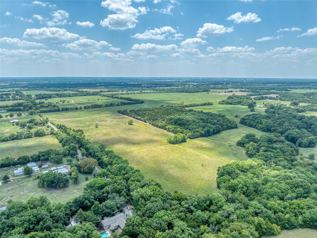
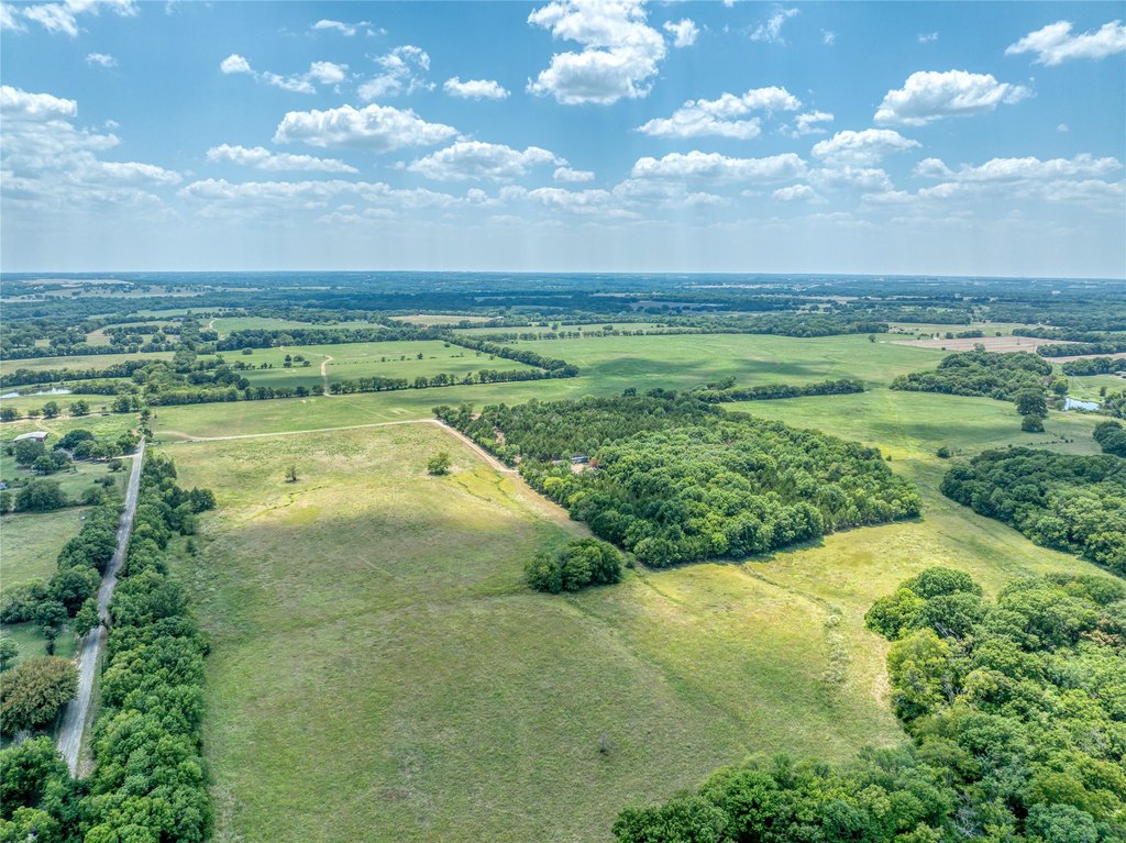
- Vegetation
- Cleared, Grassed, Wooded
- Standard status
- Active Under Contract
- APN
- 125926
- Lot size
- 587.00 Acres
Listing agent Terrin Bertholf License #0649544 (903) 267-1573
Listing office Bertholf Commercial Real Estate Denison, TX (903) 267-1573
Listing date Mar 6, 2026
Copyright © 2026 North Texas Real Estate Information Systems, Inc. All rights reserved. All information provided by the listing agent/broker is deemed reliable but is not guaranteed and should be independently verified.
HighLights
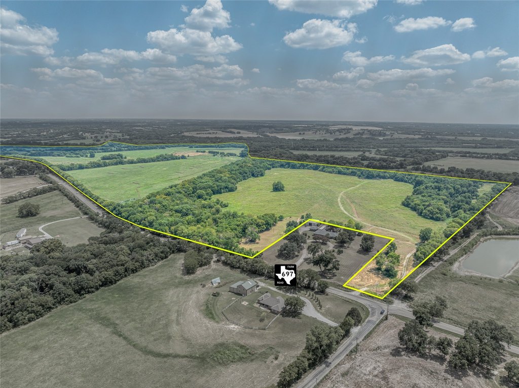
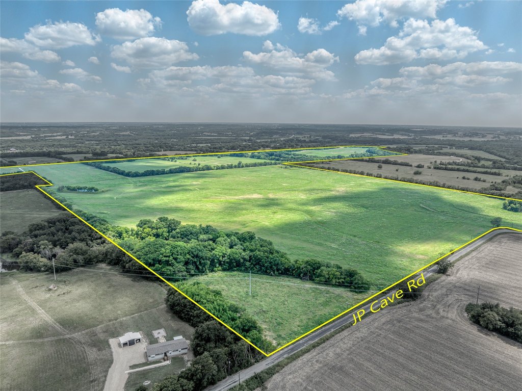
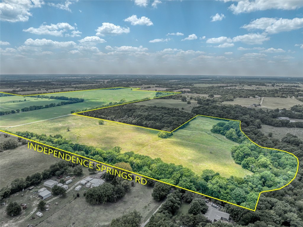
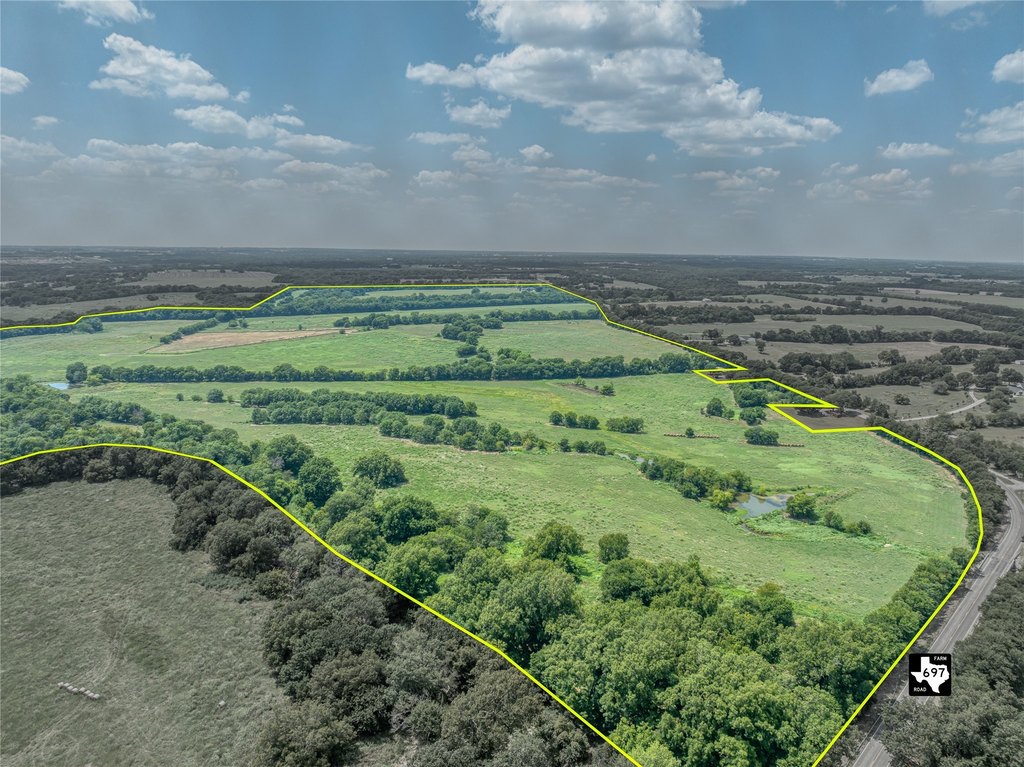
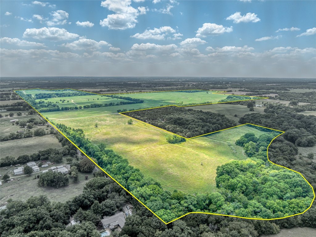
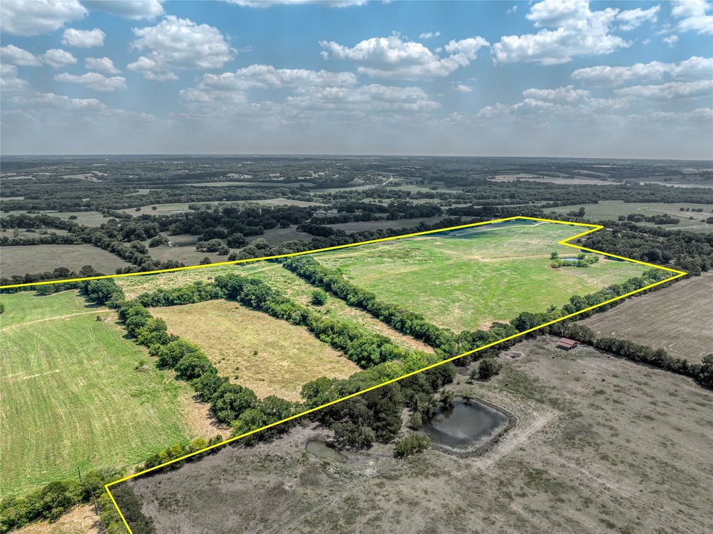
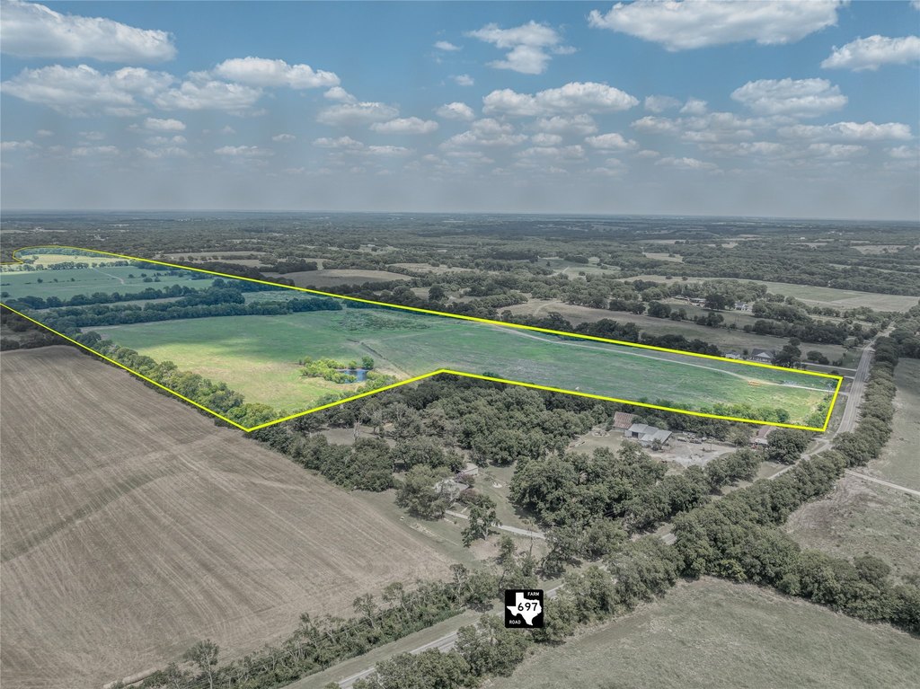
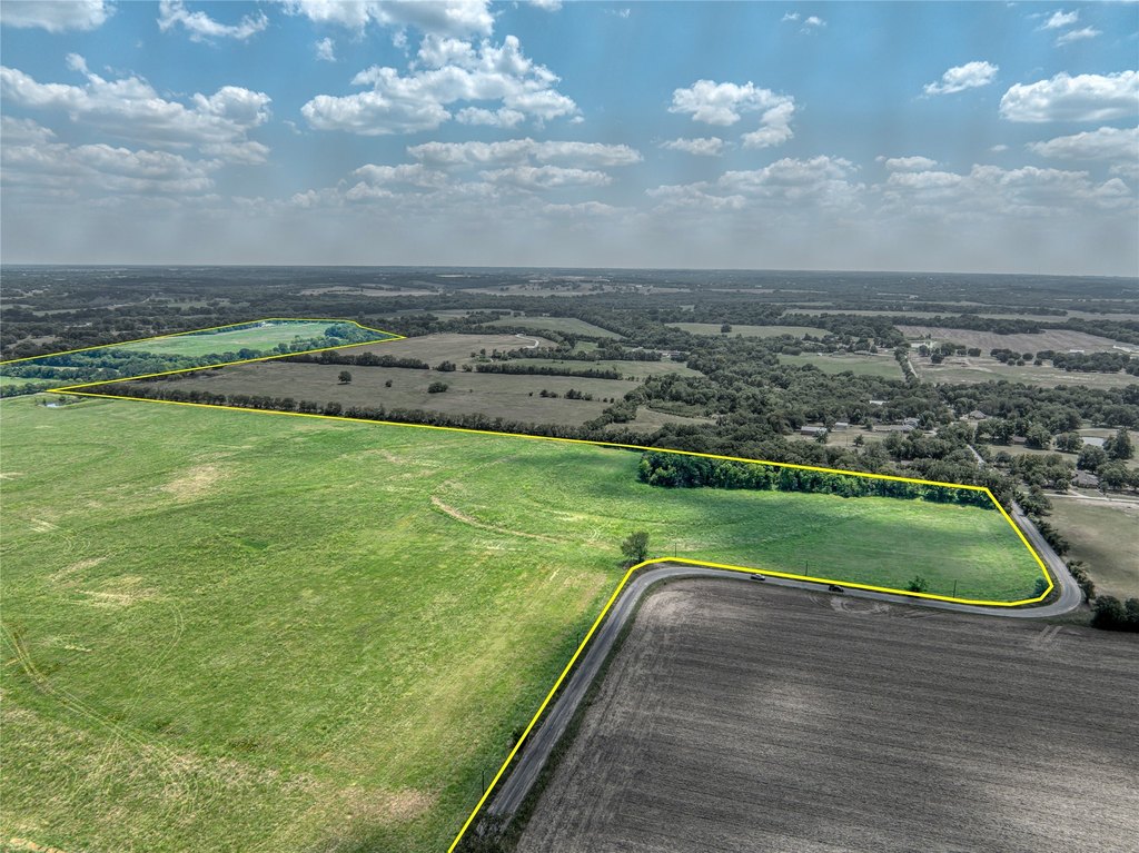
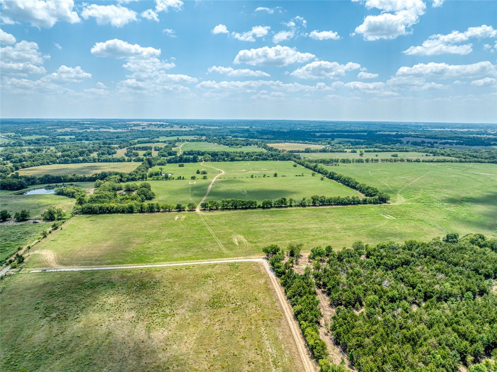
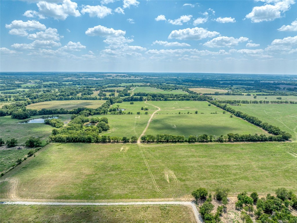
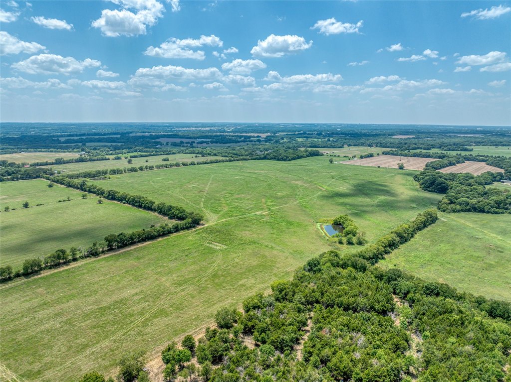
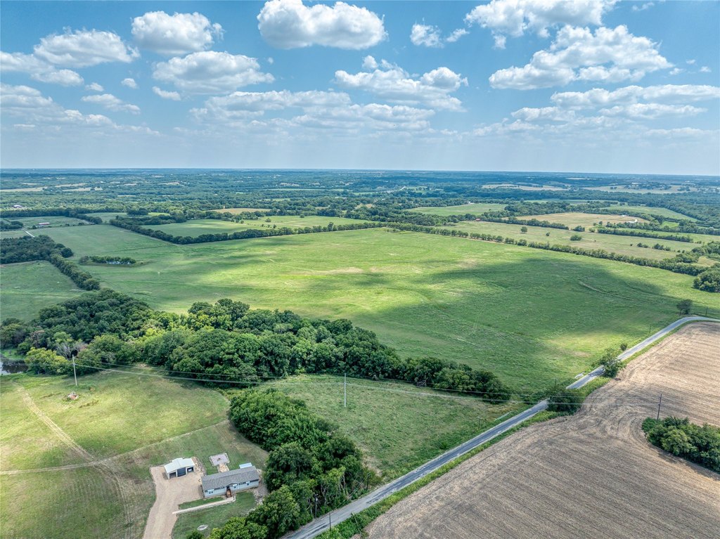
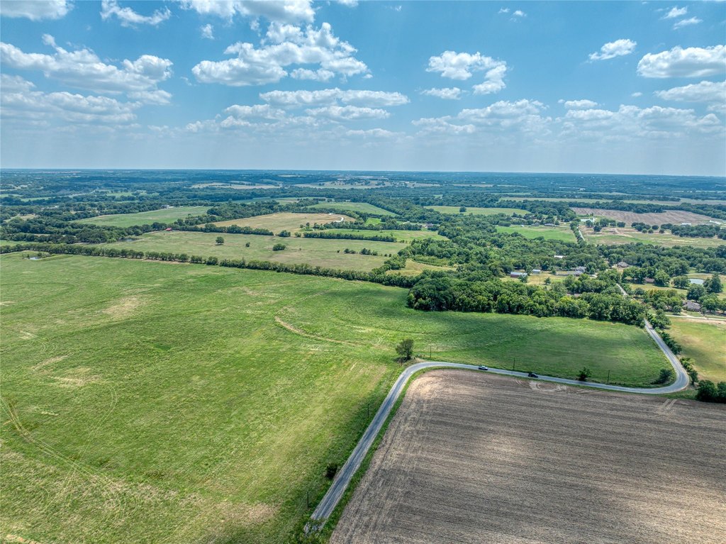
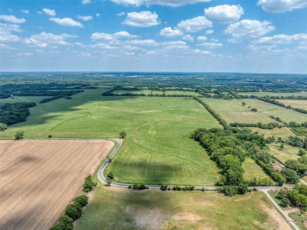
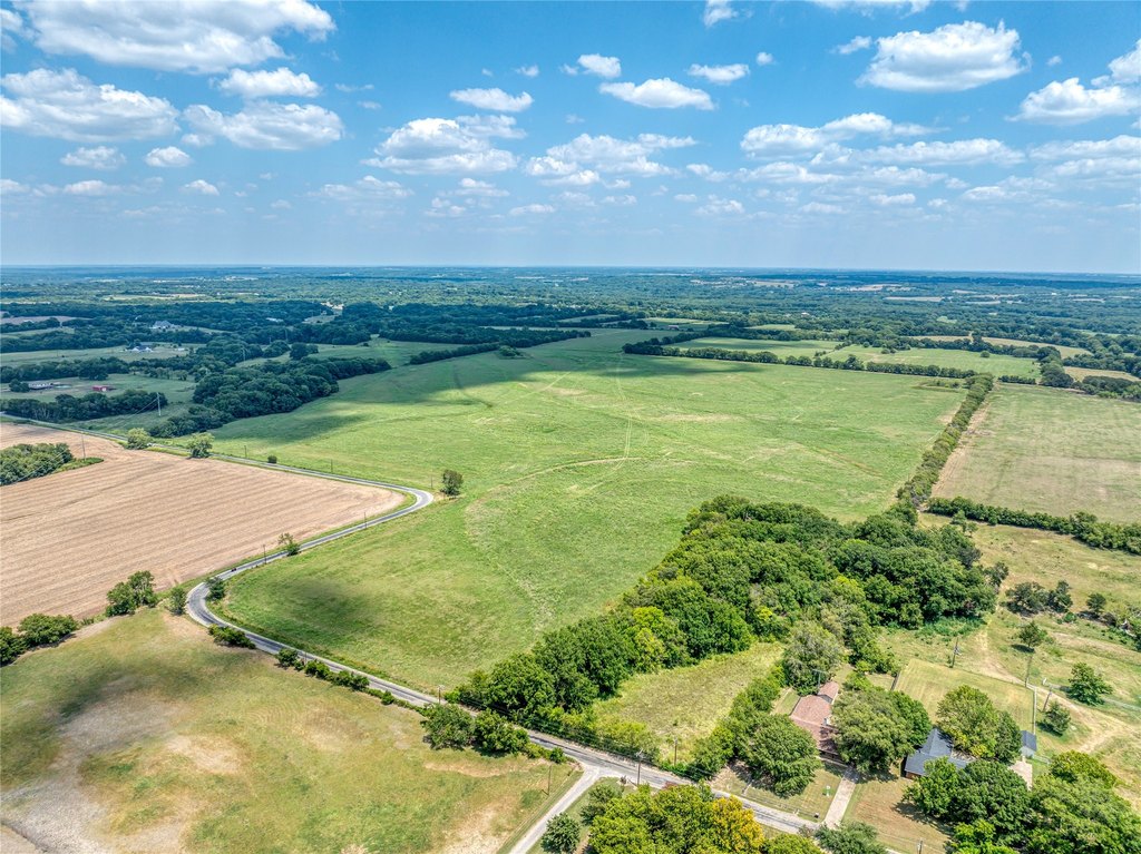
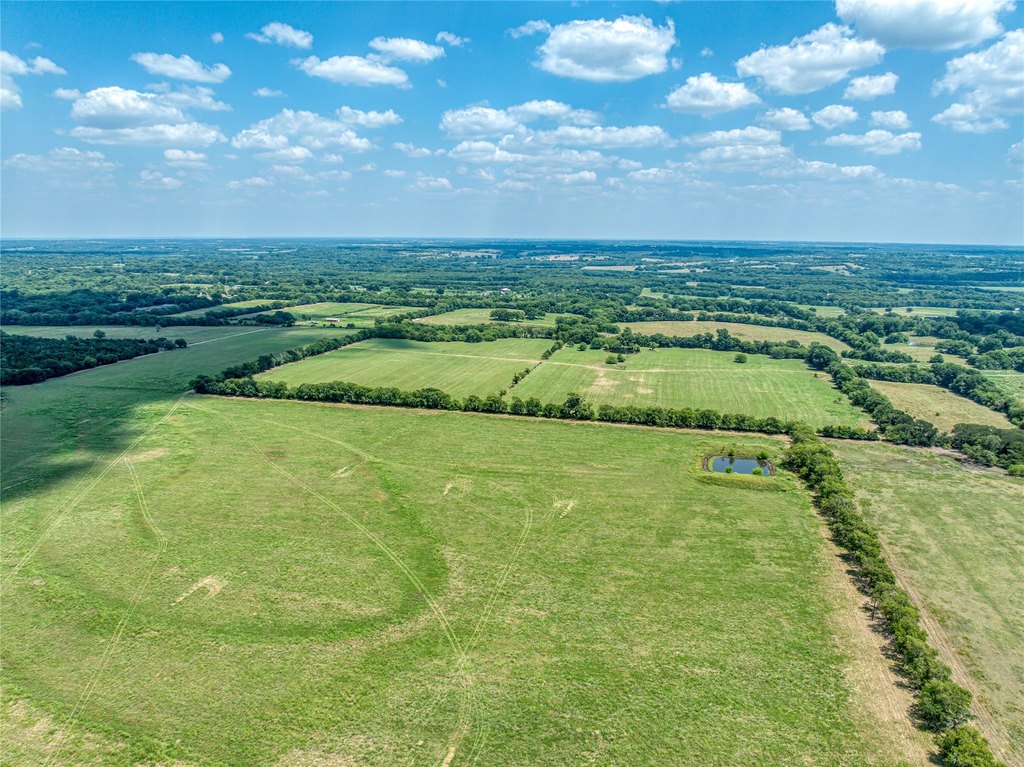
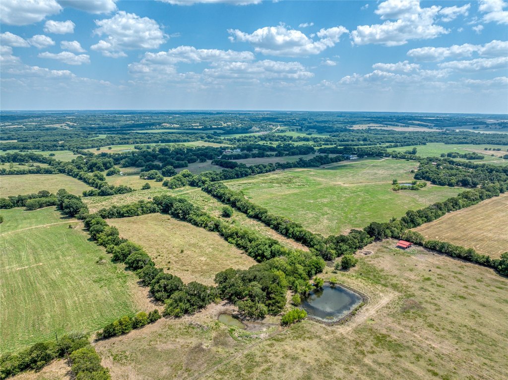
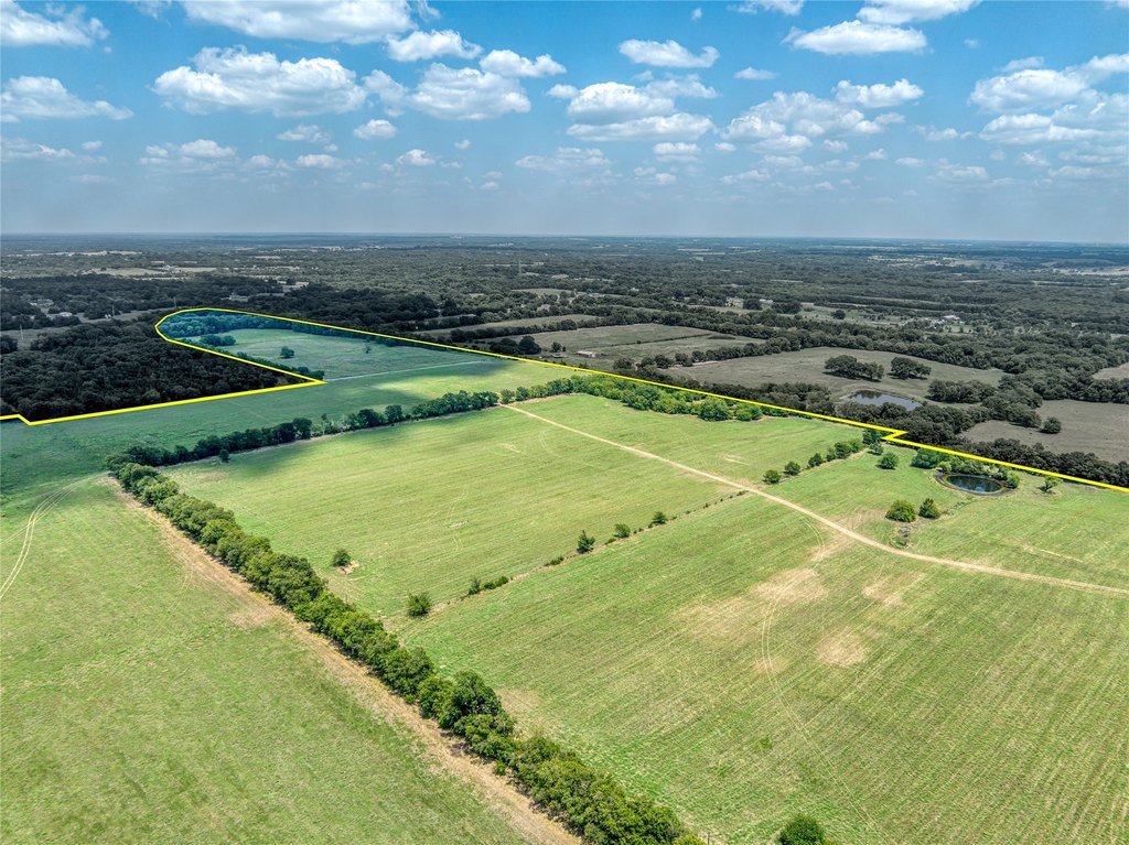
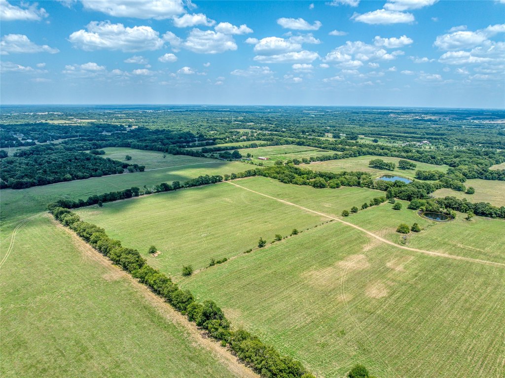
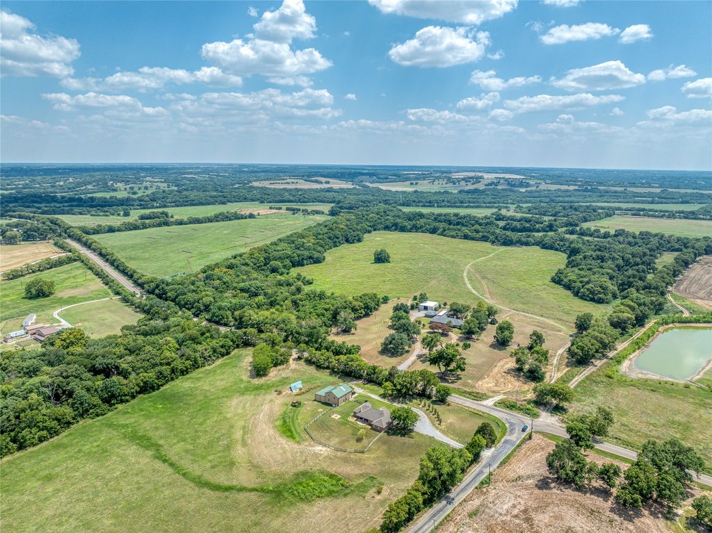
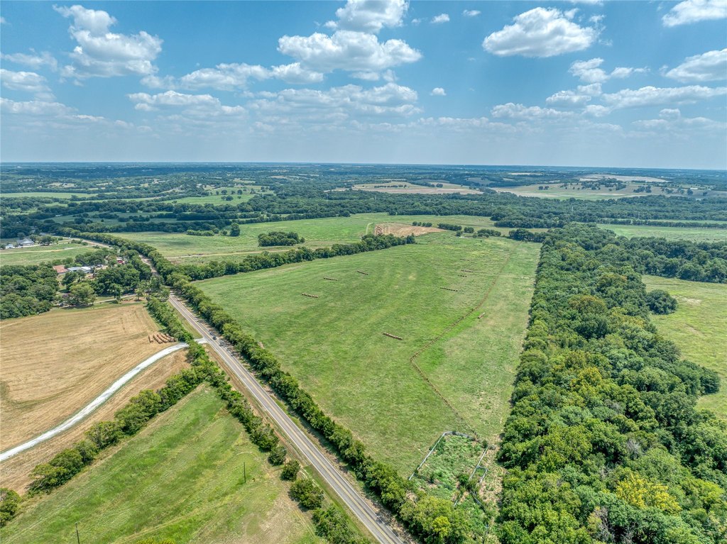
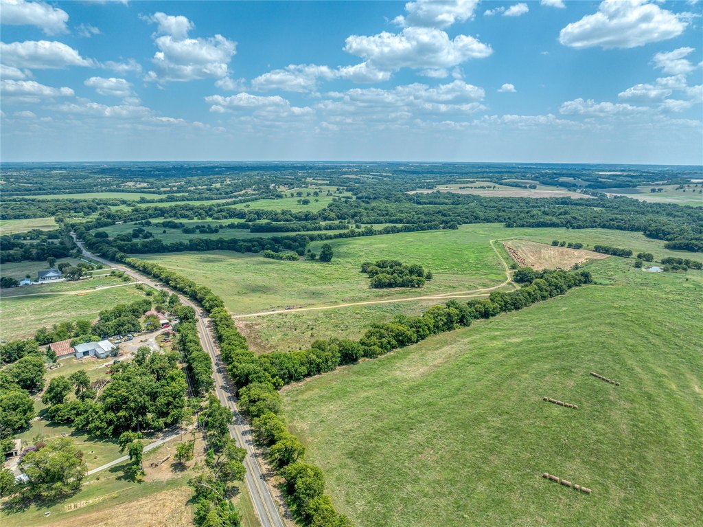
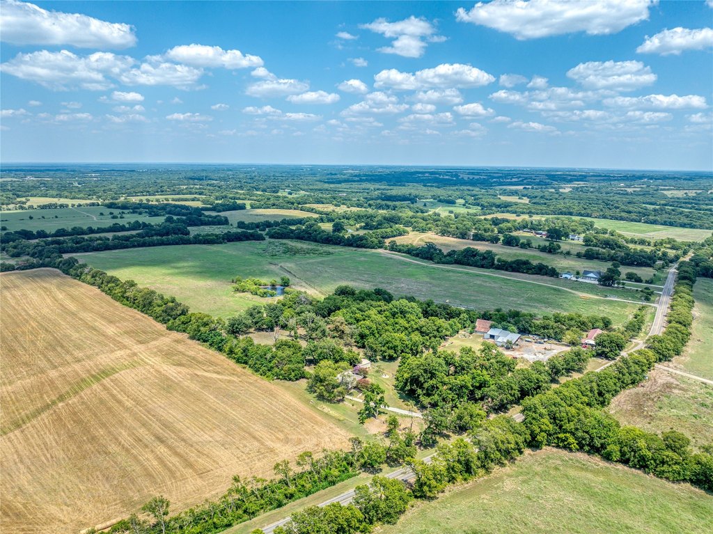
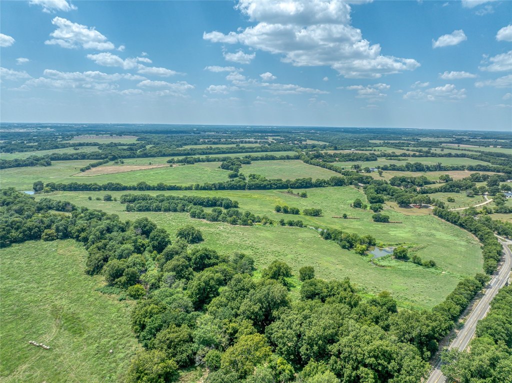
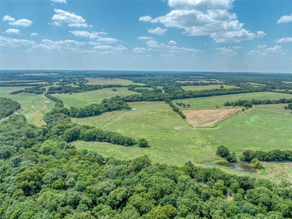
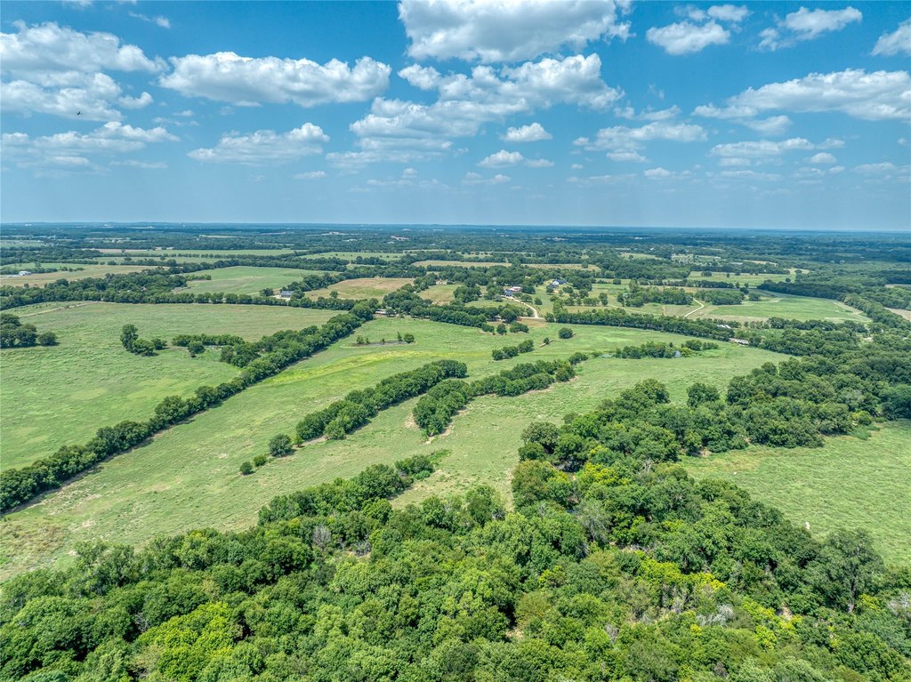
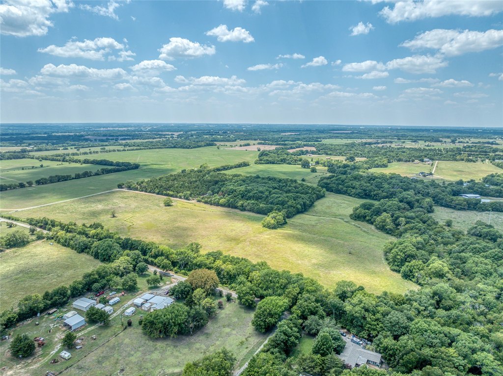
- 587 acres in Sherman, TX within 5 miles of US Hwy 75, Hwy 82, and downtown Sherman
- Approximately 11,000 ft of road frontage and borders three roads: FM 697 (on two sides), JP Cave Rd, and Independence Springs
- Sherman ISD; land is partially in Sherman's ETJ and partially in the County
- Utilities in place nearby: water and sewer are roughly 2 miles to the west; water CCN includes Pink Hill water CCN (partial) and Sherman water CCN (partial); Sherman sewer CCN (full)
- Gentle topography across most of the property, with some flood plain along the southern border
- Minimal easements; agriculturally assessed
Overview
The land is located in Sherman, Texas within 5 miles of US Hwy 75, Hwy 82, and downtown Sherman. Access and boundaries include FM 697 on two sides, with frontage and/or bordering along JP Cave Rd and Independence Springs.
This site may appeal to buyers seeking a sizeable tract for agricultural use, particularly given its current agricultural assessment and largely gentle terrain. The presence of a limited flood plain area on the south edge should be considered for planning. With the property partially within Sherman’s ETJ and partially in the County, as well as utilities described as roughly 2 miles to the west, it offers flexibility for owners evaluating long-range development versus maintaining agricultural operations.
Current Use by Public Records
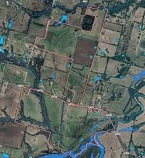
Map
- City
- Sherman
- County
- Grayson
- State
- Texas
- Longitude
- -96.533697
- Latitude
- 33.6123008