Wooded Recreational Land with Building

For Sale
Contact for pricing
Federal Forest Highway 16 lot 6, Iron River, MI 49935
LAND - Iron River, MI
Property SizeContact for details
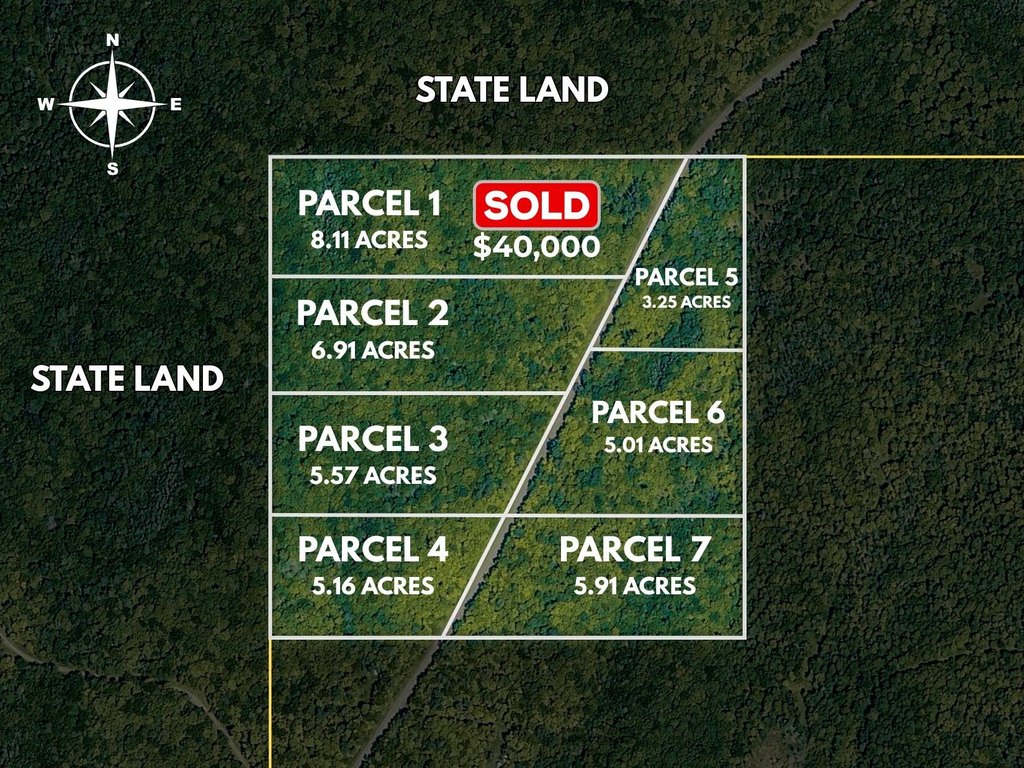
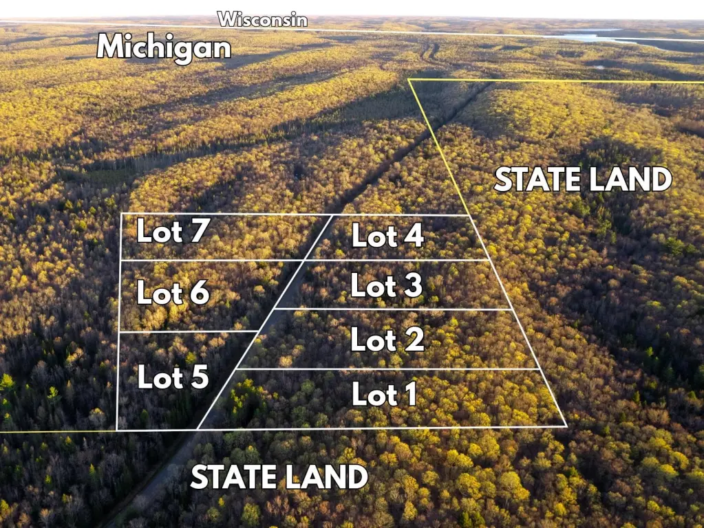
Lot Size5.01 Acres
Days on Market93
Property Features for Federal Forest Highway 16 lot 6
General Information
Property type
Land
Property subtype
Other
Elementary school district
West Iron County
Middle school district
West Iron County
High school district
West Iron County
Directions
Smokey Lake Rd to US-02, west to Forest Service Rd 16 (NF-16), south to property. If you reach Forest Service Rd 3210 (NF-3210) intersection you've gone to far.
Standard status
Active
APN
007-211-001-00
Lot size
5.01 Acres
Taxes and HOA fees
Tax Description
See Attachment
Legal Description
See Attachment
Utilities
Utilities
Electricity Available
Listing Agency:
Keller Williams Realty Rivertown
(616) 288-3244
Listed By:
Patrick J Kane · License #6501397707
(616) 540-7239
Added: May 22
Changed: Aug 10
Last Checked: Aug 22 at 3:06AM
MLS# 26024403
Copyright © 2026 Michigan Regional Information Center, LLC. All rights reserved. All information provided by the listing agent/broker is deemed reliable but is not guaranteed and should be independently verified.
Investment Insights
Based on property information with market context.
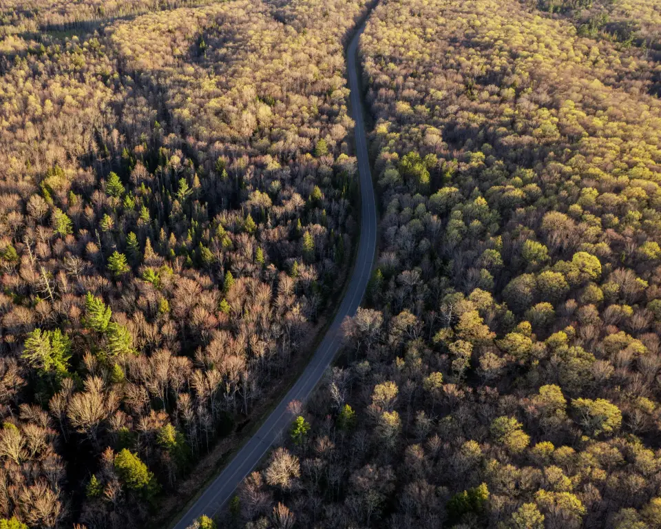
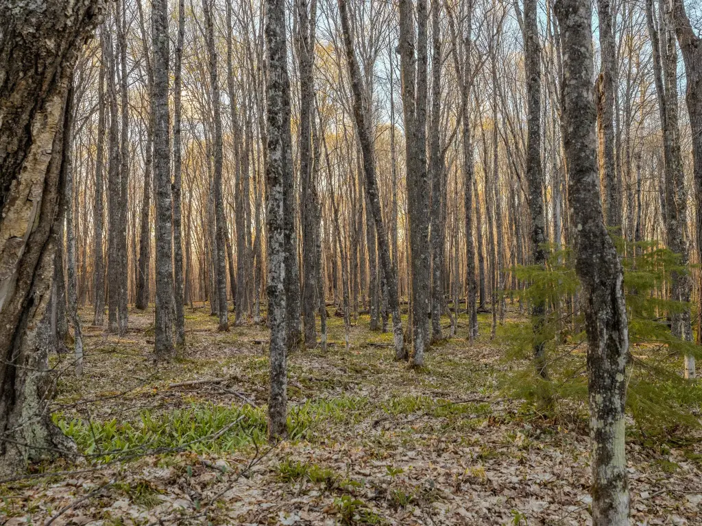
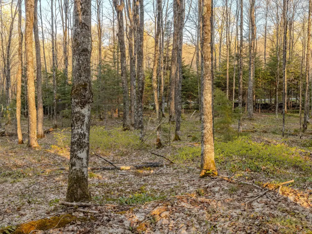
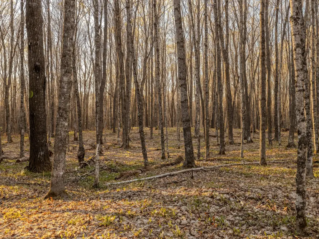
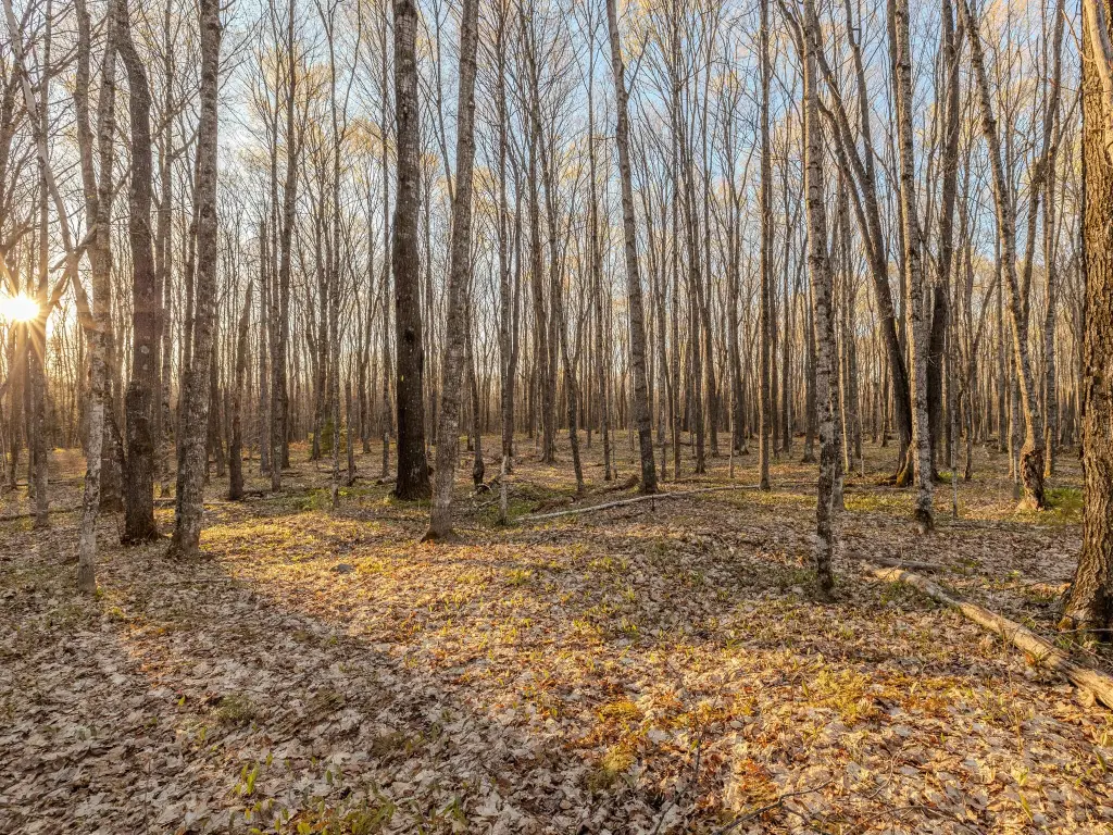
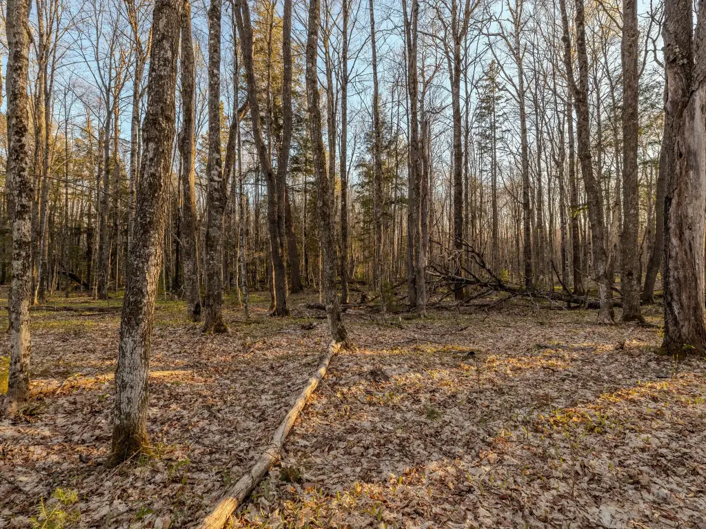
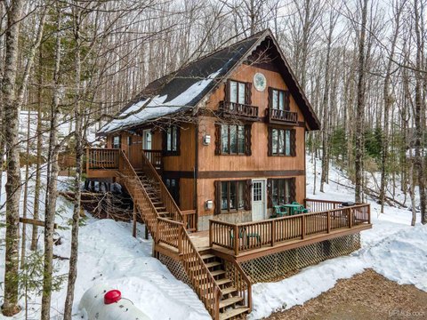
This is wooded recreational land in Michigan’s Upper Peninsula, offering a scenic building site and mature timber across the property. The parcel is described as well-suited for a cabin build or for parking a camper while enjoying nearby outdoor recreation.
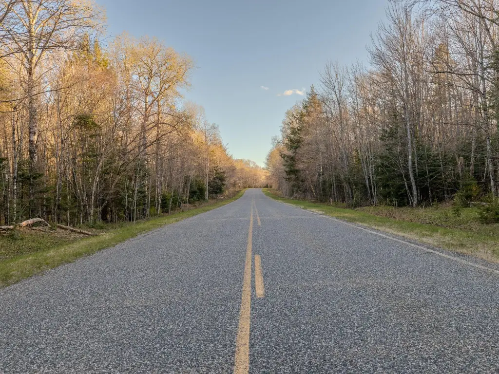
Year-round access is available via a county road. The listing remarks also note that parcels 1 through 5 are adjacent to the Ottawa National Forest, with access to nearby state land and an area described as offering abundant wildlife and recreational opportunities.
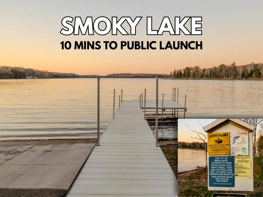
The property is positioned near Little Smoky, Smoky, and Homan lakes, with the remarks highlighting trout, bluegill, panfish, and bass fishing, along with boating and outdoor activity around Smoky Lake.
Year-round access is available via a county road. The listing remarks also note that parcels 1 through 5 are adjacent to the Ottawa National Forest, with access to nearby state land and an area described as offering abundant wildlife and recreational opportunities.
The property is positioned near Little Smoky, Smoky, and Homan lakes, with the remarks highlighting trout, bluegill, panfish, and bass fishing, along with boating and outdoor activity around Smoky Lake.
Key Highlights
- Nicely wooded property with mature timber and a scenic building site
- Year‑round access via a county road
- Parcels 1–5 are adjacent to the Ottawa National Forest
Property Analytics
Property Profile
Current Use
Lease Details
Yes
Paved road access
Location Intelligence
Demographics for 49935, MI
5,952
Population
4,610
Households
1.3
Avg Household Size
51
Median Age
20%
College-Educated
93%
High-School Grad
457.0 sq mi
ZIP Area
13
Density / Sq Mi
$52,254
Median Household Income
$38,052
Median Earnings
$445
Median Rent
$103,800
Median Home Value

Questions? Ask Rey
Realmo’s AI knows this listing — price, zoning, demand, history. Ask anything.




Frequently Asked Questions
What type of property is this?
Land - Nicely wooded land with a scenic building site and year-round access via a county road in Michigan’s Upper Peninsula.
Where is this land located?
The property is located at Federal Forest Highway 16 lot 6 Iron River, MI.
What are key features of this property?
This property features: Nicely wooded property with mature timber and a scenic building site; Year‑round access via a county road; Parcels 1–5 are adjacent to the Ottawa National Forest



