Road-Front Farmland with
For Sale
$2,500,000
Pending
US Rt 20, Elizabeth, IL 61028
LAND - ELIZABETH, IL
Property SizeContact for details
Lot Size250.00 Acres
Days on Market46
Property Features for US Rt 20
General Information
Property type
Land
Property subtype
Other
Lot features
Agriculture, Creek/ Pond
Elementary school
River Ridge
Middle school
River Ridge
High school
River Ridge
Elementary school district
River Ridge
Middle school district
River Ridge
High school district
River Ridge
Subdivision
Jo Daviess County
Standard status
Pending
APN
2300026206
Lot size
250.00 Acres
Taxes and HOA fees
Tax Year
2025
Tax Description
S21 T27N R3E PT SE & PT SW
Tax Annual Amount
3806
Legal Description
S21 T27N R3E PT SE & PT SW
Listing Agency:
JIM SULLIVAN REALTY
(815) 947-9040
Listed By:
JAMES SULLIVAN · License #471000283
(815) 266-8302
Added: Jul 6
Changed: Jul 22
Last Checked: Aug 20 at 9:06PM
MLS# 202604059
Copyright © 2026 NorthWest Illinois Alliance of REALTORS. All rights reserved. All information provided by the listing agent/broker is deemed reliable but is not guaranteed and should be independently verified.
Investment Insights
Based on property information with market context.
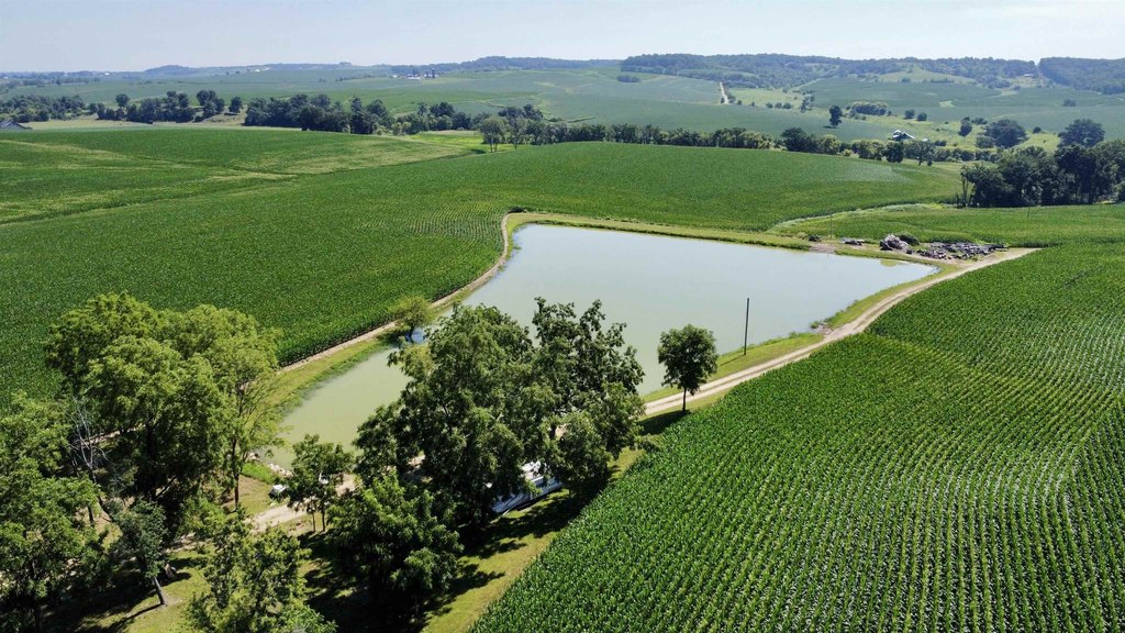
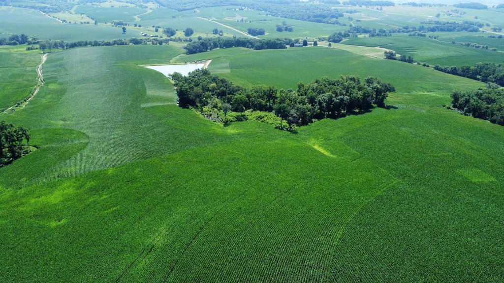
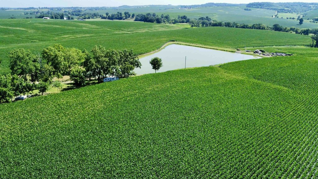
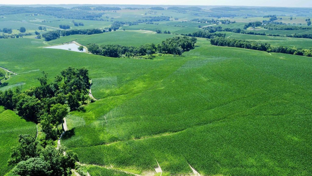
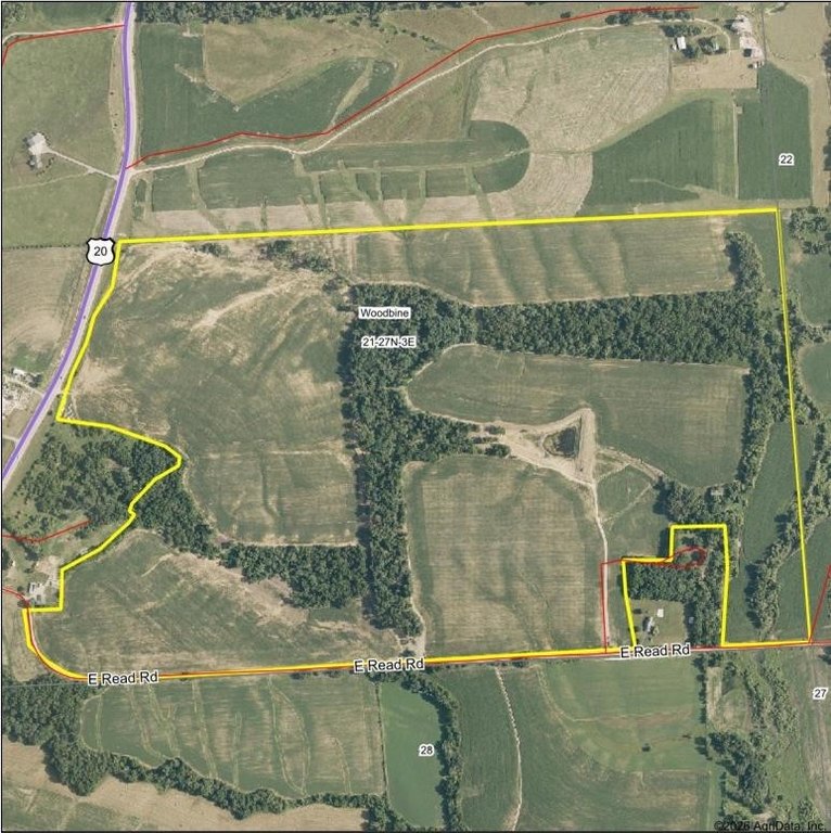
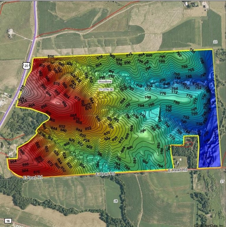
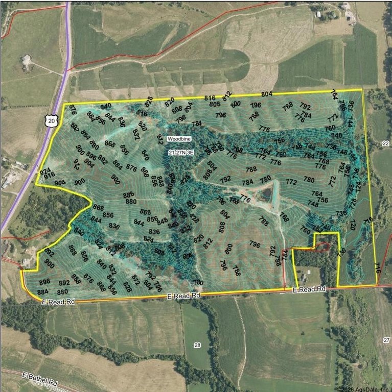
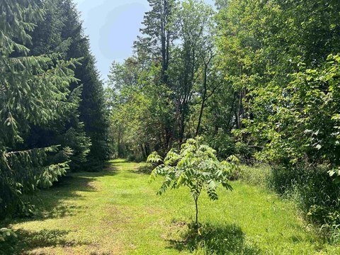
This offering consists of approximately 250 taxed acres of farmland, with crop acres reported through FSA at 235 and planted acres showing about 225. Recent production data indicates a yield of 230 bushels in 2025. The property includes a large pond, and most trees have been removed with ground reclaimed to crop production.
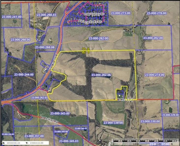
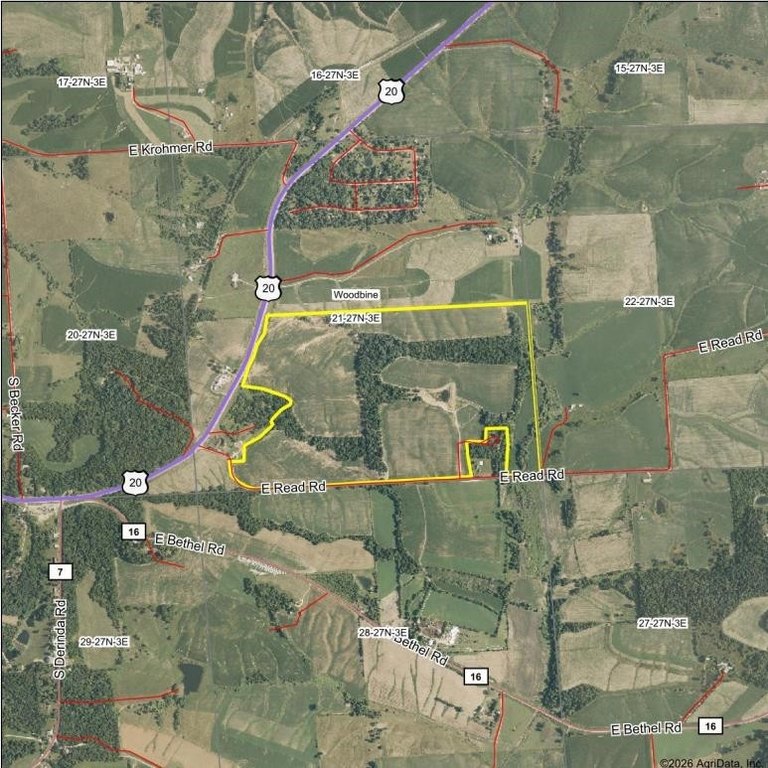
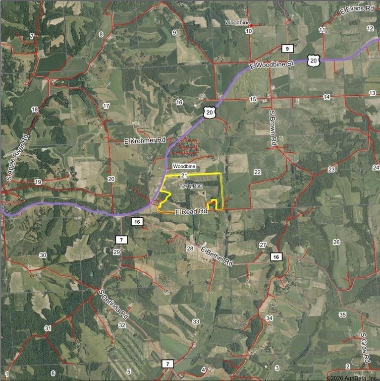
The land has substantial road frontage on RT 20 and Reed Road between Elizabeth and Woodbine. The seller notes that aerial maps are not accurate. The farm has been extensively tiled and cleaned up within the last two years, and the layout could be divided.
As represented, the acreage, drainage improvements, and recent reclamation work support an operating farm configuration, with the ability to split the property if desired.
The land has substantial road frontage on RT 20 and Reed Road between Elizabeth and Woodbine. The seller notes that aerial maps are not accurate. The farm has been extensively tiled and cleaned up within the last two years, and the layout could be divided.
As represented, the acreage, drainage improvements, and recent reclamation work support an operating farm configuration, with the ability to split the property if desired.
Key Highlights
- Road frontage on RT 20 and Reed Road between Elizabeth and Woodbine
- Taxed acres: 250; crop acres per FSA: 235; planted acres shown about 225
- 2025 yield reported at 230+ bushels
Property Analytics
Property Profile
Current Use
Lease Details
Yes
Paved road access
Location Intelligence
Trade Area within ½ mile
1
Businesses Nearby
Explore this area
Business Placement
Demographics for 61028, IL
1,865
Population
1,013
Households
1.8
Avg Household Size
51
Median Age
30%
College-Educated
90%
High-School Grad
113.4 sq mi
ZIP Area
16
Density / Sq Mi
$86,328
Median Household Income
$46,736
Median Earnings
$775
Median Rent
$184,800
Median Home Value

Questions? Ask Rey
Realmo’s AI knows this listing — price, zoning, demand, history. Ask anything.



Frequently Asked Questions
What type of property is this?
Agricultural land / Farmland - 250 taxed acres with extensive tile drainage, reclaimed crop ground, and a large pond on major road frontage.
Where is this agricultural land / farmland located?
The property is located at US Rt 20 Elizabeth, IL.
What is the asking price?
The asking price for this property is $2,500,000.
What are key features of this property?
This property features: Road frontage on RT 20 and Reed Road between Elizabeth and Woodbine; Taxed acres: 250; crop acres per FSA: 235; planted acres shown about 225; 2025 yield reported at 230+ bushels


