E Chipman Road, Lees Summit, MO 64063


- Added:
- Jun 19, 2026
- Days on Market:
- 3
- Last Refresh:
- Jun 21 at 2:06 pm
Property Features for E Chipman Road
General Information
- Property type
- Land
- Property subtype
- Other
- Zoning
- Ag
- Vegetation
- Partially Wooded, Brush
- Standard status
- Active
- APN
- 52-830-01-01-01-0-00-000
- Lot size
- 11.19 Acres
Taxes and HOA fees
- Tax Description
- See Legal Description Addendum
- Tax Annual Amount
- 79

Listing agent Ryan Finn License #2013033019 (816) 810-4109
Listing office Keller Williams Southland 1006 West Foxwood Drive, Raymore, MO (816) 331-2323
Listing date Jun 19, 2026
Copyright © 2026 Heartland Multiple Listing Service. All rights reserved. All information provided by the listing agent/broker is deemed reliable but is not guaranteed and should be independently verified.
HighLights
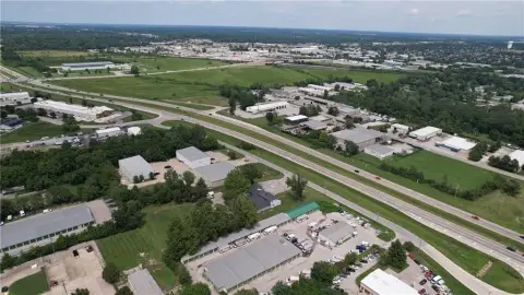
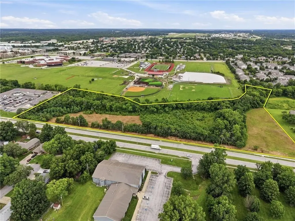
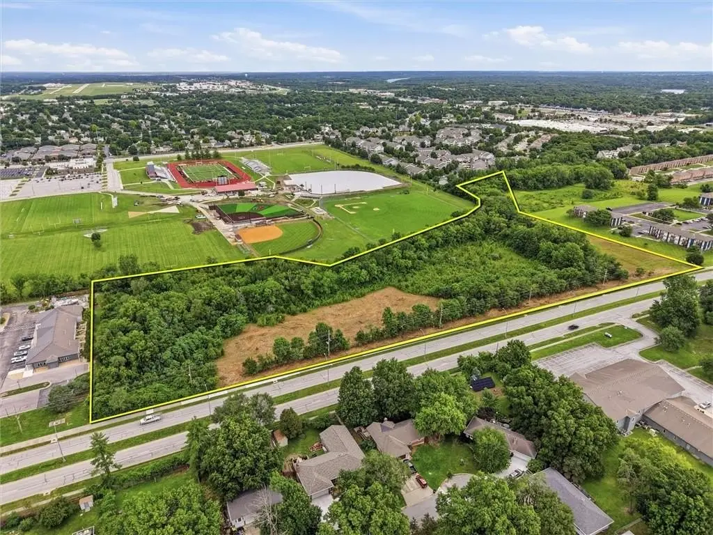
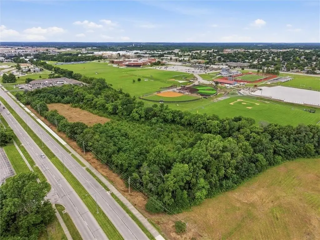
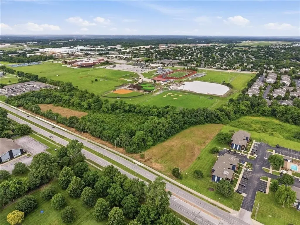
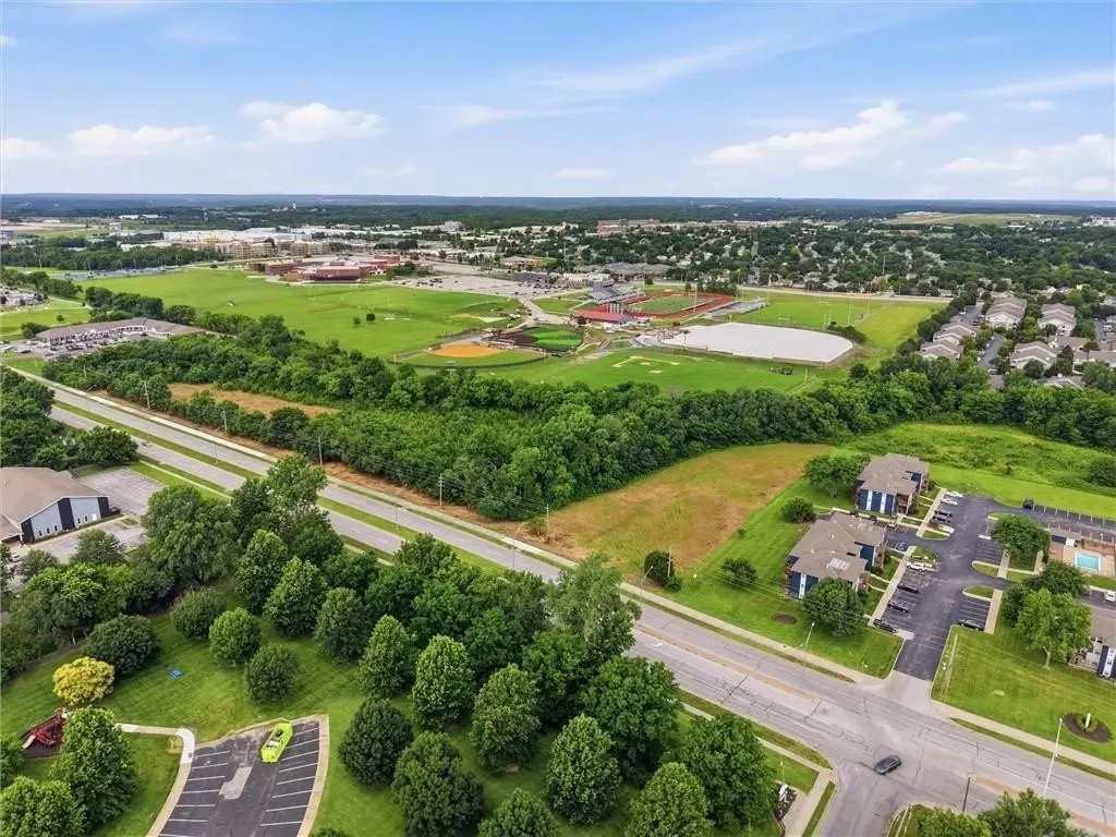
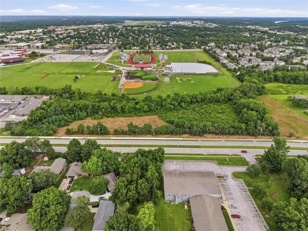
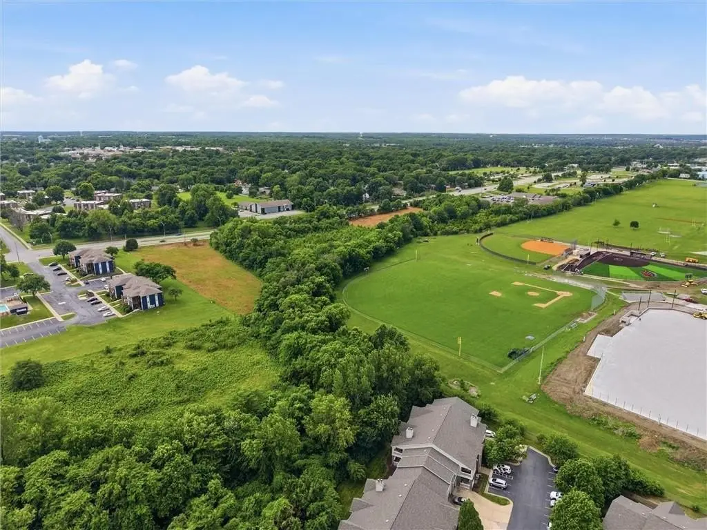
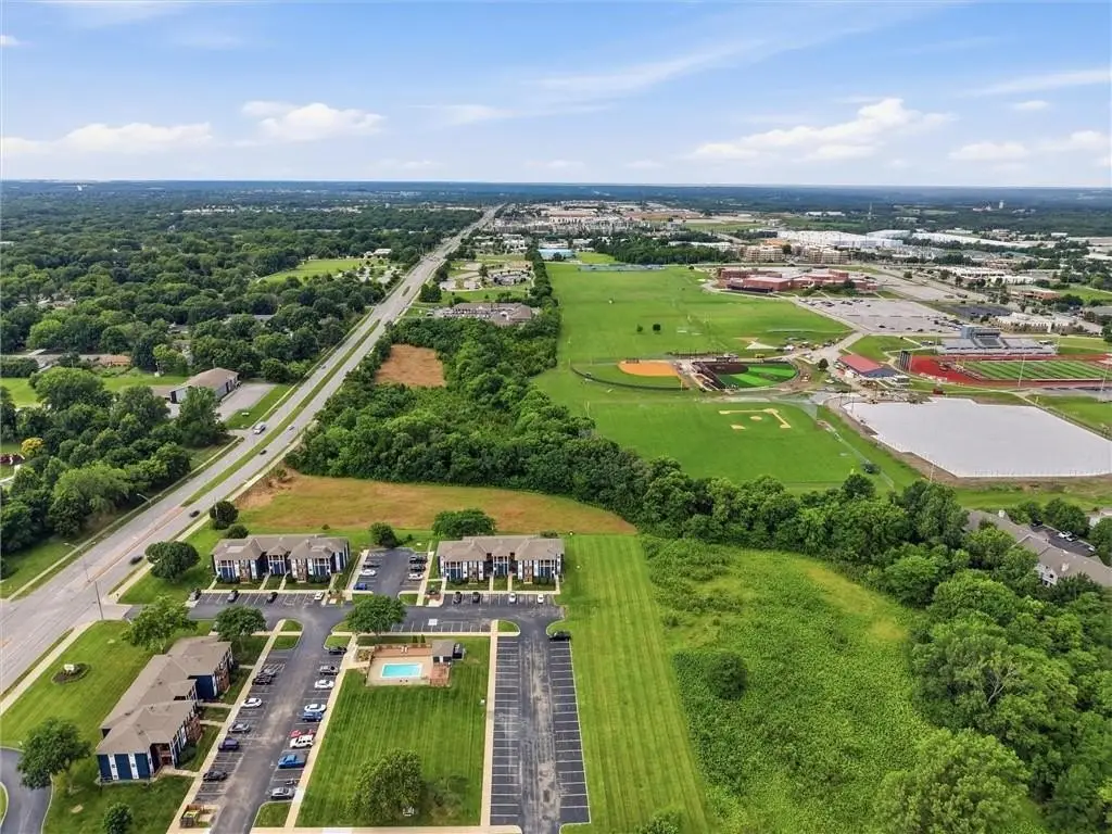
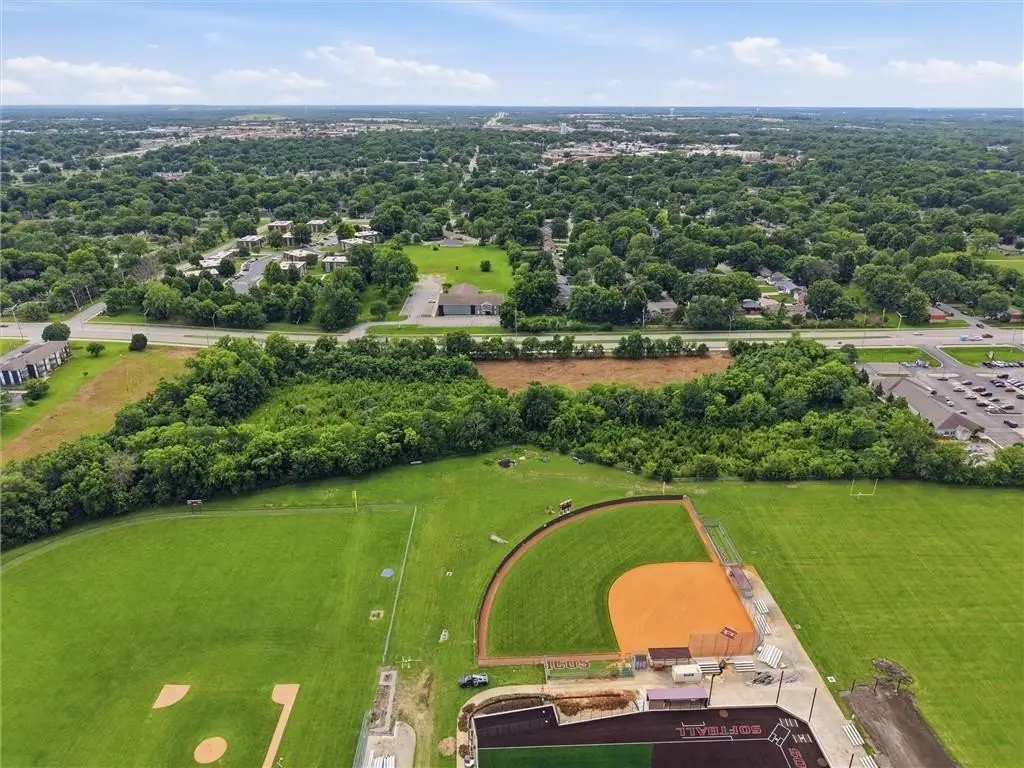
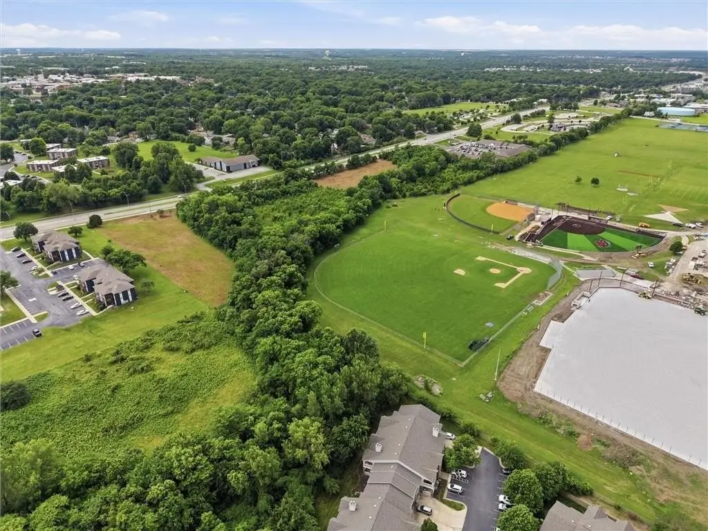
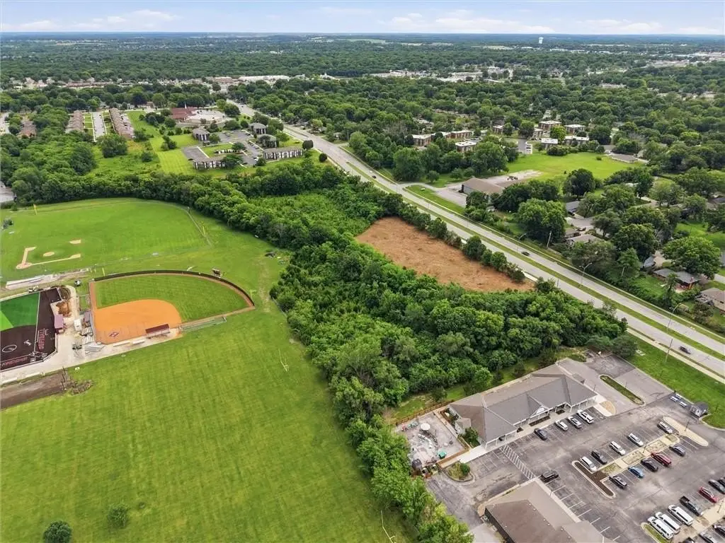
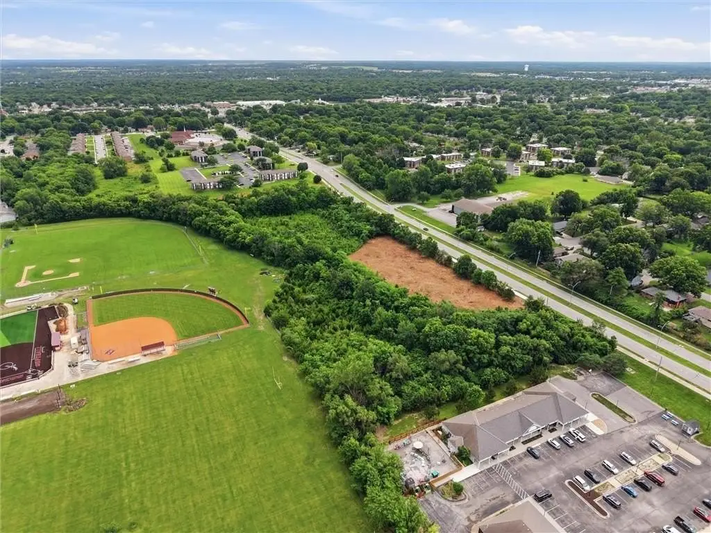
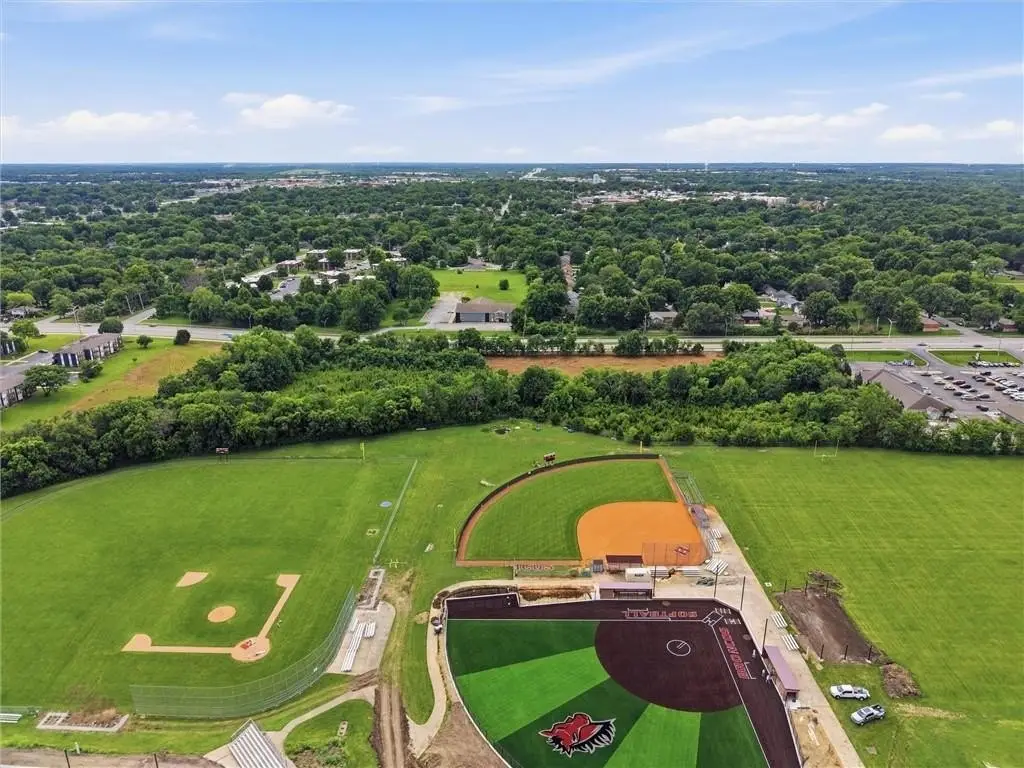
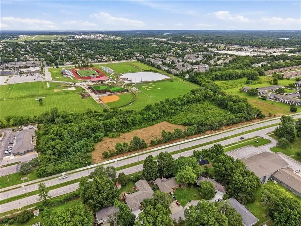
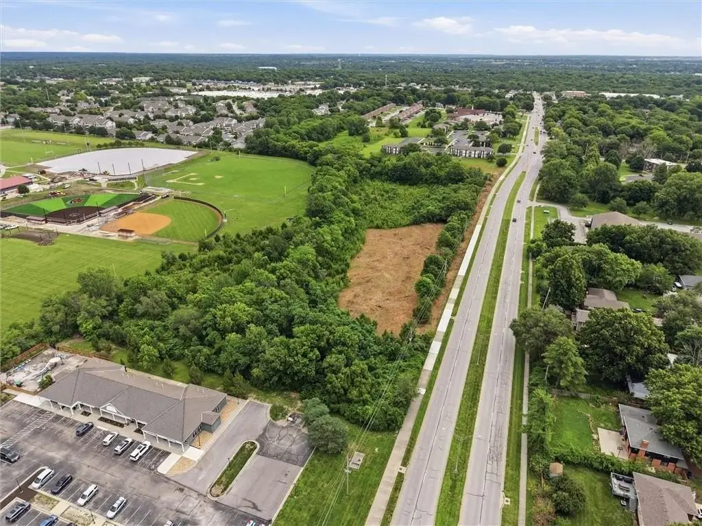
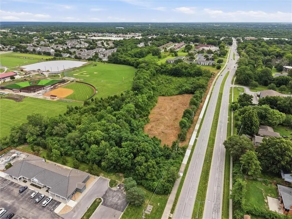
- Positioned along the highly traveled Chipman Road corridor in Lee's Summit
- Adjacent to athletic facilities and established residential neighborhoods
- Just minutes from Downtown Lee's Summit and St. Luke's East Hospital
- Close to shopping centers, restaurants, schools, and major commuter routes
- Development concepts are subject to rezoning, city approvals, engineering review, and development requirements
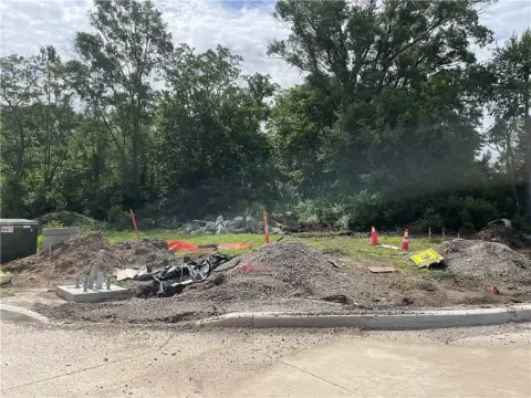
Overview
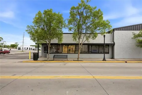
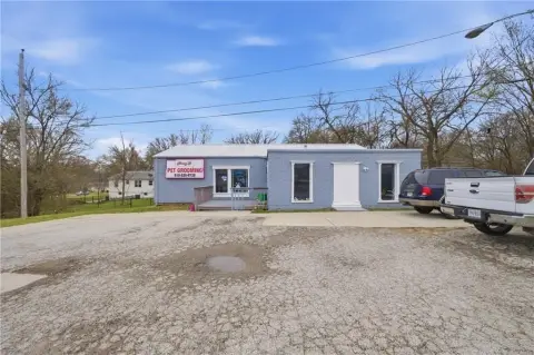
The property is positioned along the highly traveled Chipman Road corridor in Lee’s Summit, MO. The public remarks describe convenient access to Downtown Lee’s Summit, St. Luke’s East Hospital, shopping centers, restaurants, schools, and major commuter routes, with the site noted as adjacent to athletic facilities and established residential neighborhoods.
For buyers and developers, the asset’s combination of size and corridor visibility can support planned community-oriented projects—such as recreational or indoor sports facilities, mixed-use development, multifamily housing, retail, medical or professional office campuses, senior living, churches, and childcare or educational campuses—subject to required approvals. Prospective users should review rezoning pathways and permitting requirements to confirm the feasibility of their intended use.
Current Use by Public Records
Map
- City
- Lees Summit
- County
- Cass
- State
- Missouri
- Longitude
- -94.372571
- Latitude
- 38.925181