Deer Mountain Road, Walnut Shade, MO 65771


- Added:
- Jun 27, 2026
- Days on Market:
- 7
- Last Refresh:
- Jul 3 at 1:06 pm
Property Features for Deer Mountain Road
General Information
- Property type
- Land
- Property subtype
- Other
- Standard status
- Active
- APN
- 05-9.0-29-000-000-018.000
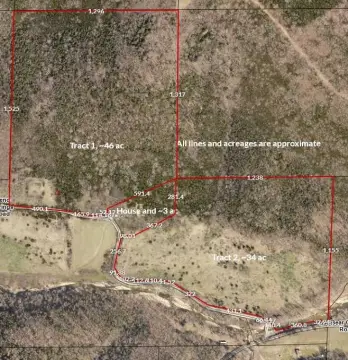
- Lot size
- 13.21 Acres
Taxes and HOA fees
- Tax Year
- 2025
- Tax Description
- SWNE4 & SENW4 S OF US HWY 160 & E OF CR 160-A
- Tax Annual Amount
- 574
Listing agent Ann Ferguson License #2006026316 (417) 830-0175
Listing office Keller Williams Tri-Lakes 714 State Hwy 248, Suite 10, Branson, MO (417) 336-4999
Listing date Jun 27, 2026
Copyright © 2026 Southern Missouri Regional MLS, LLC (SOMO). All rights reserved. All information provided by the listing agent/broker is deemed reliable but is not guaranteed and should be independently verified.
HighLights
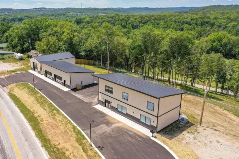
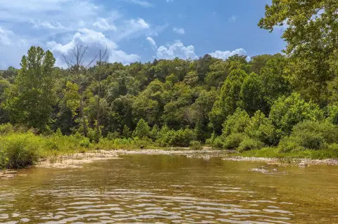
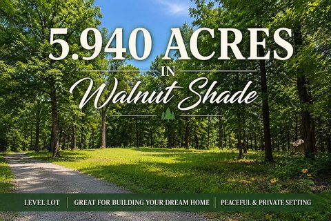
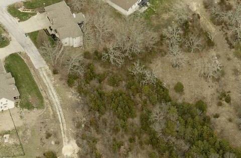
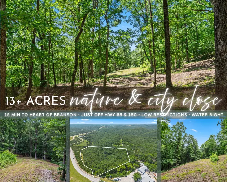
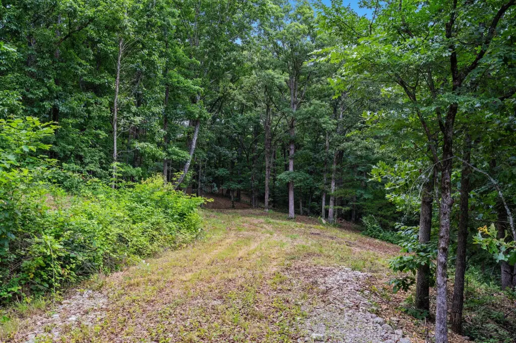
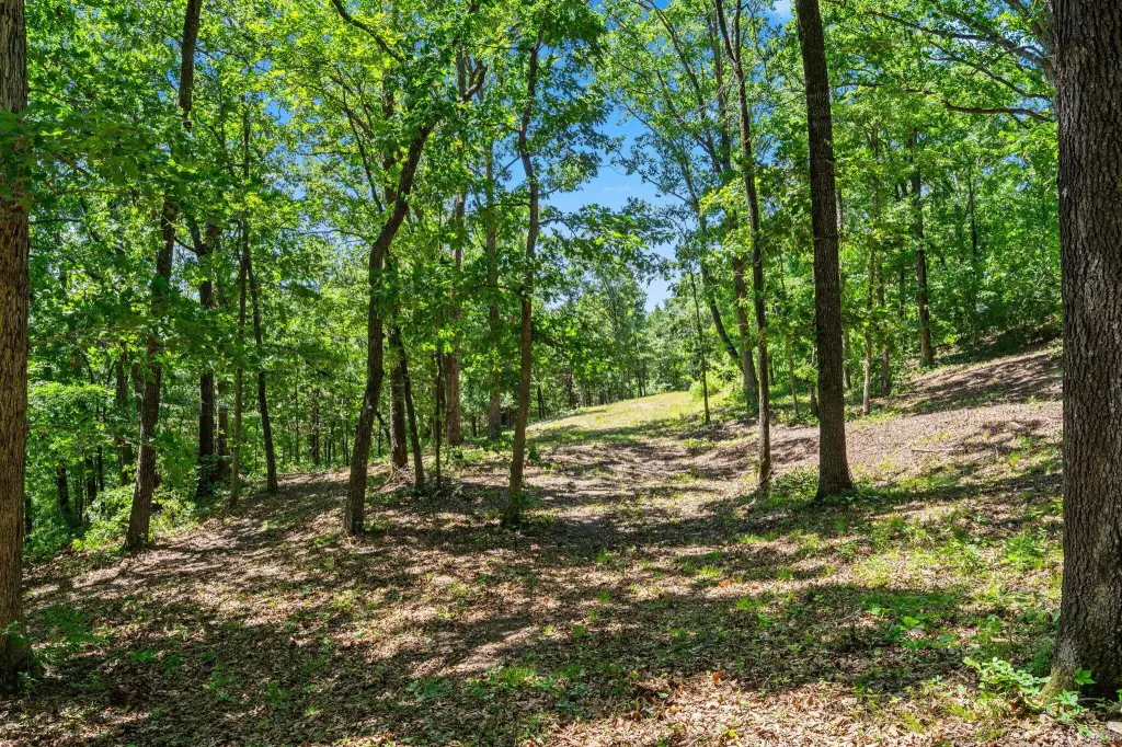
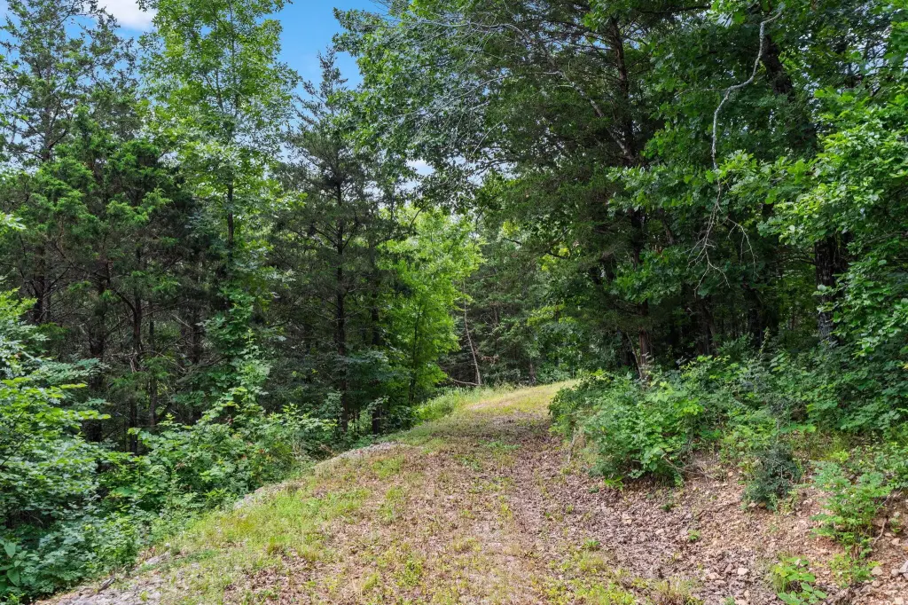
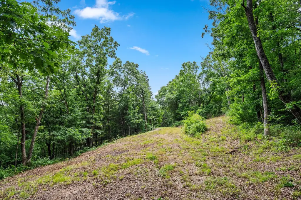
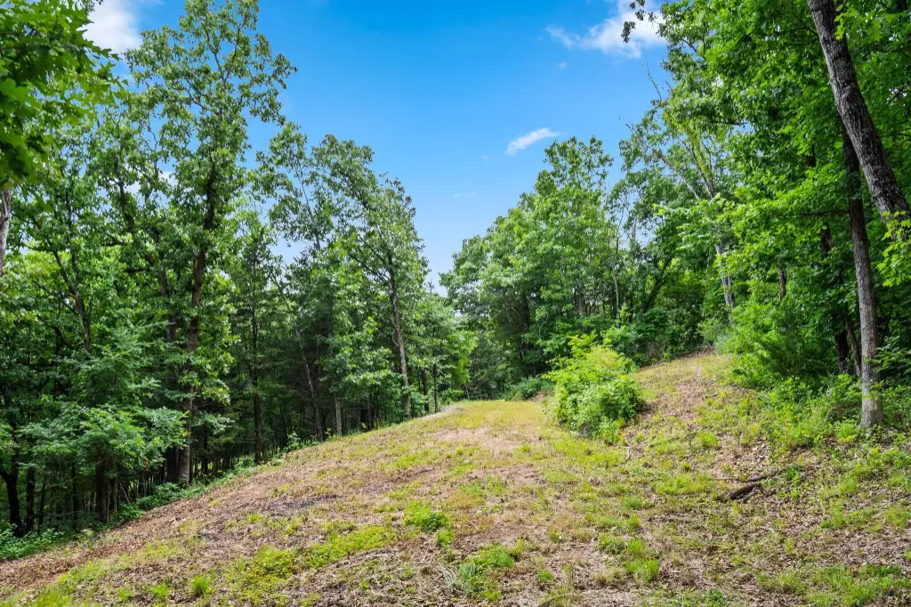
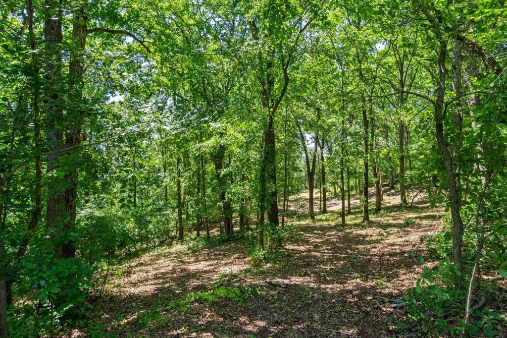
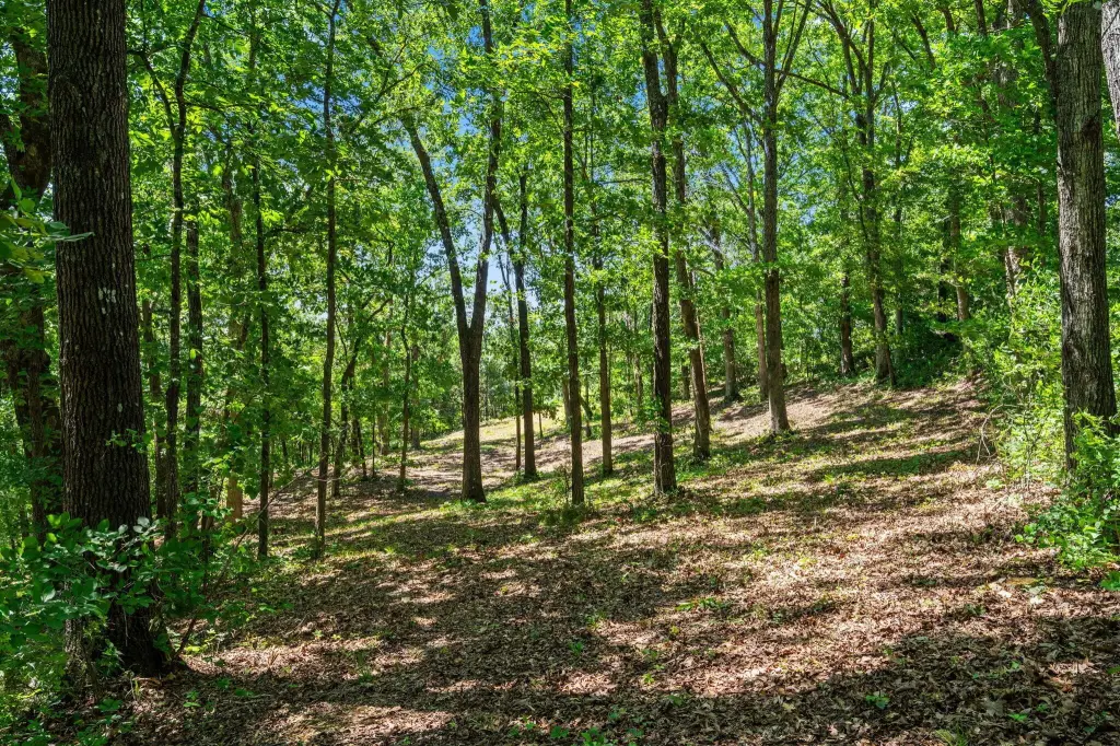
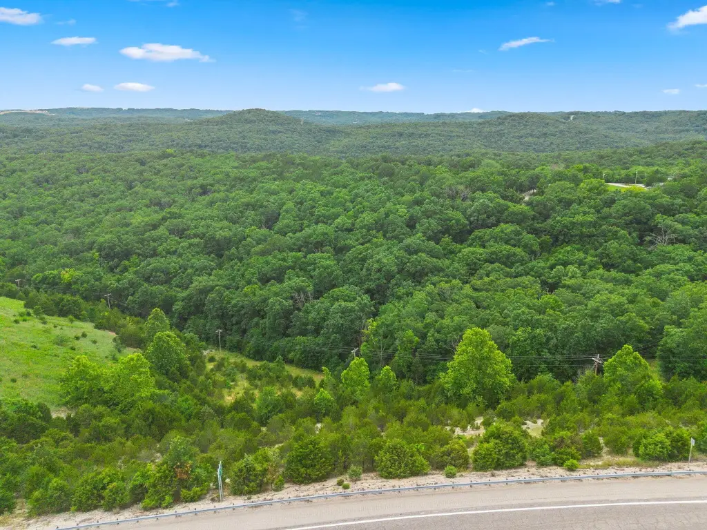
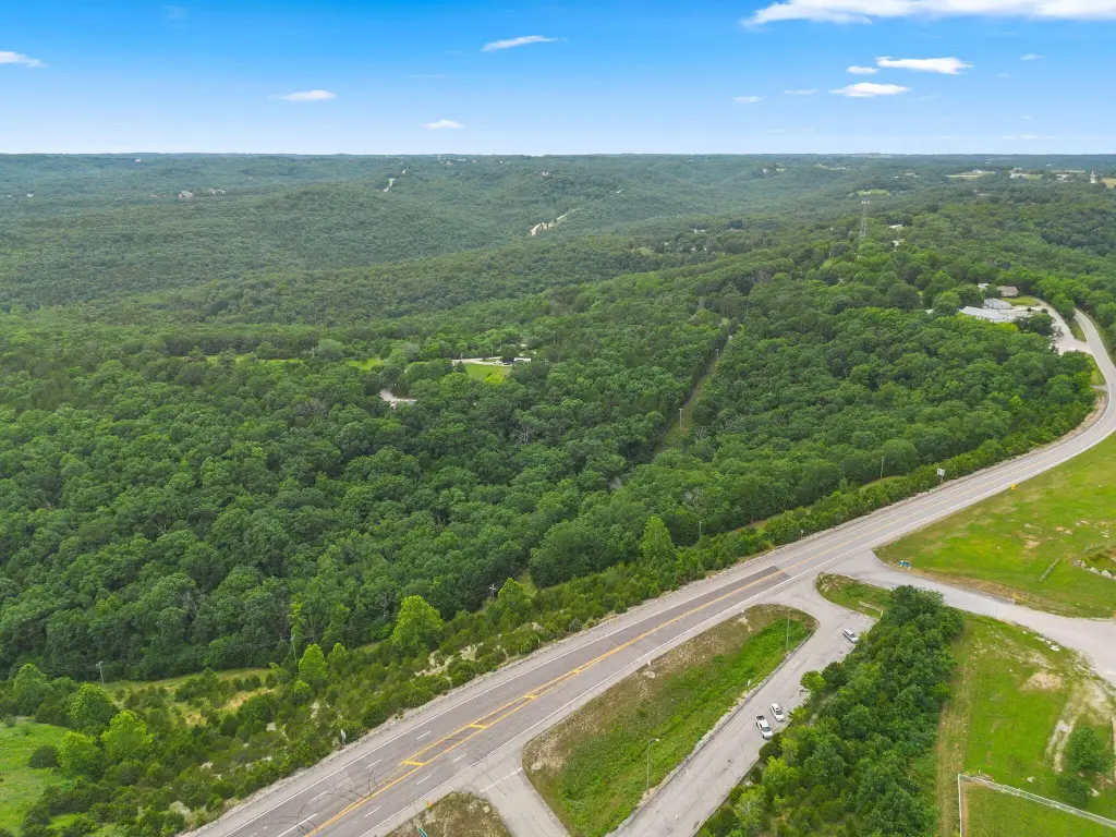
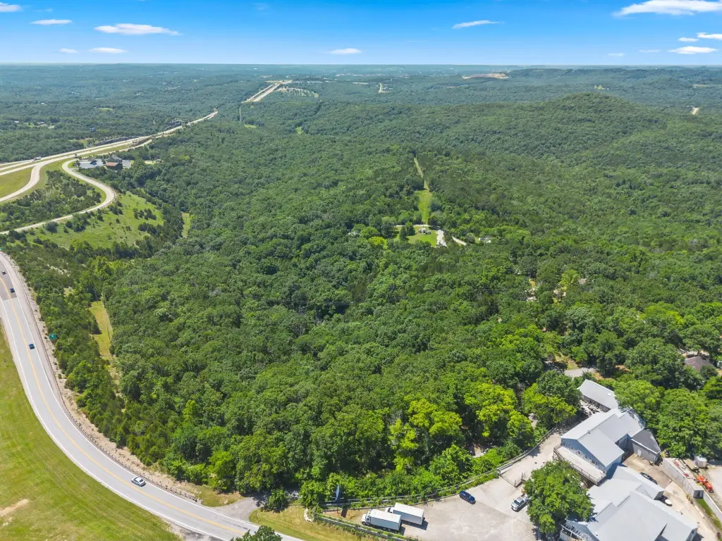
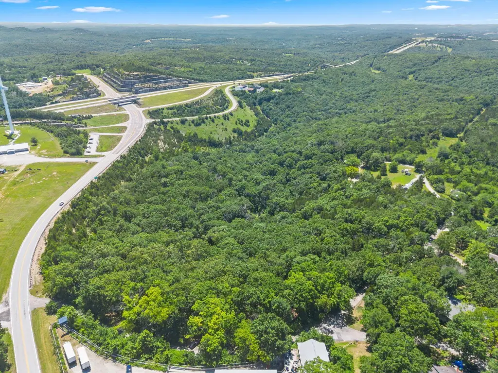
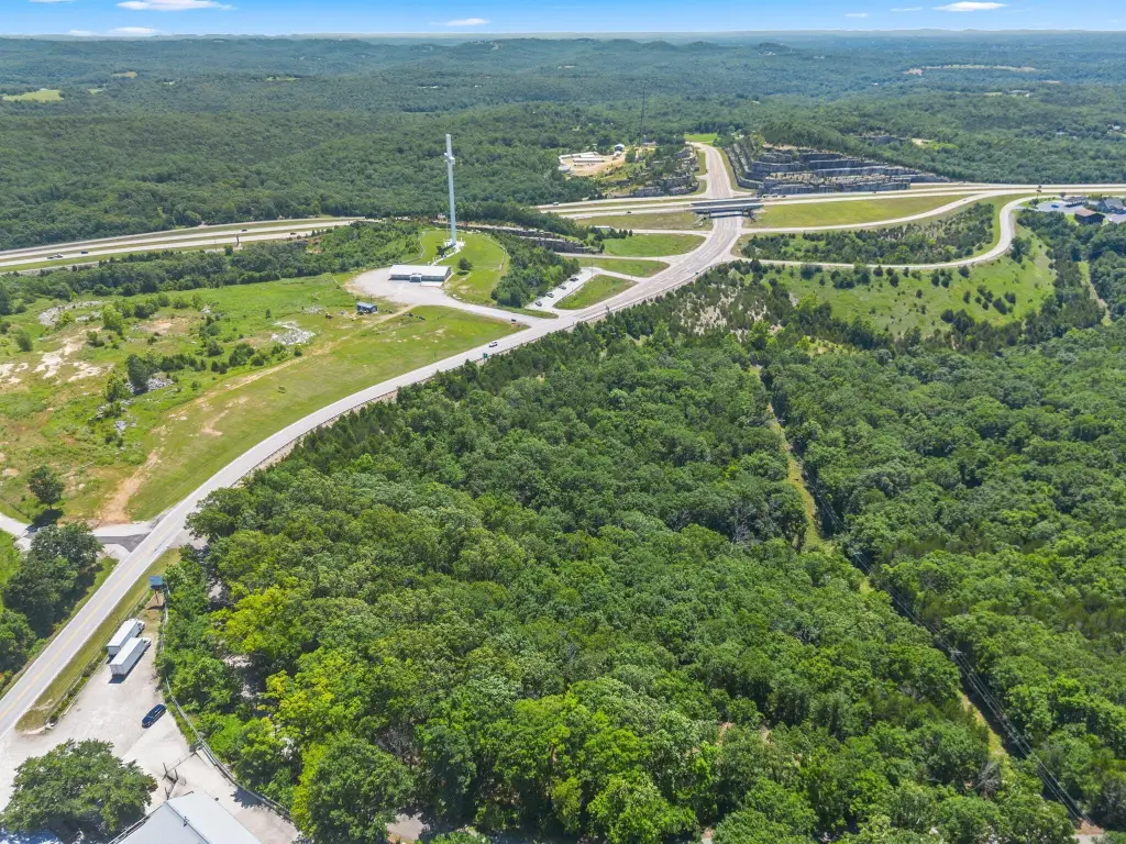
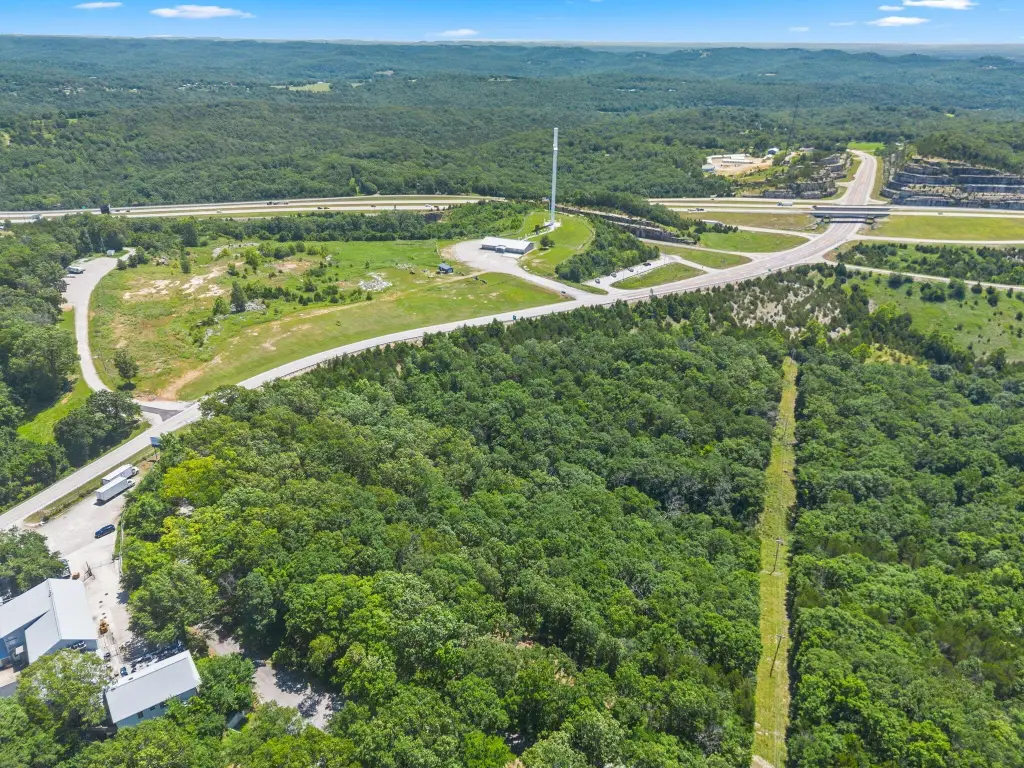
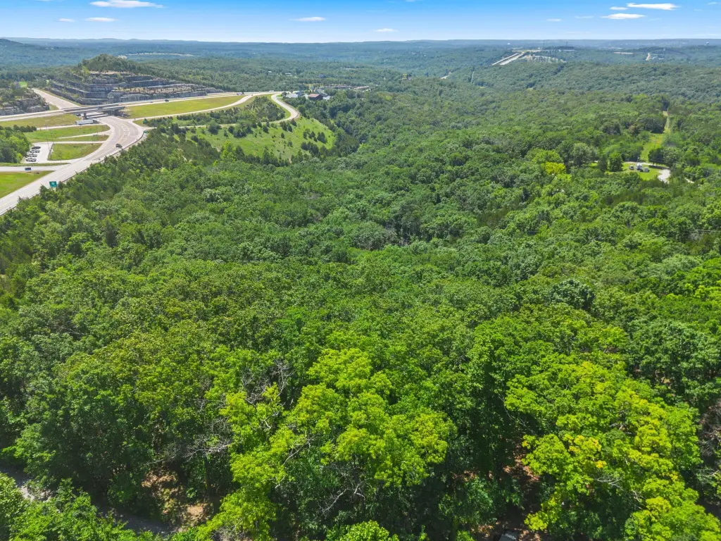
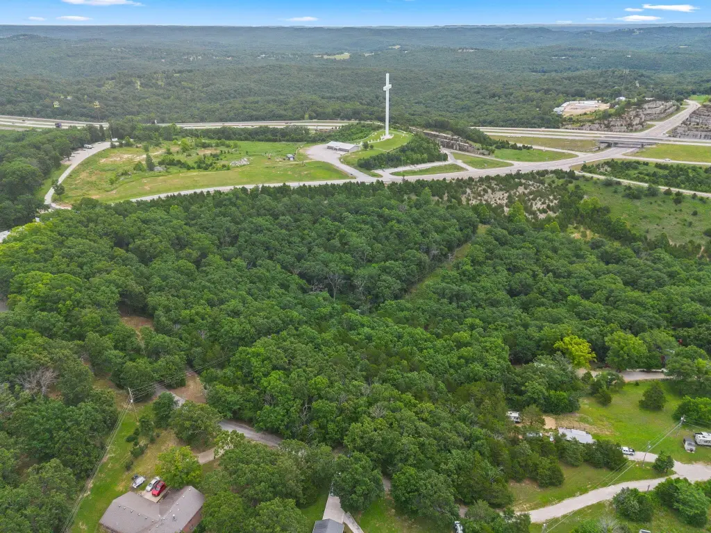
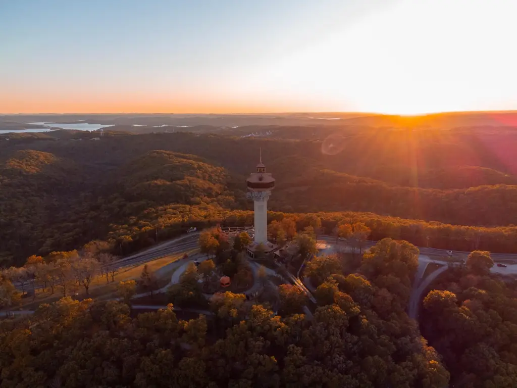
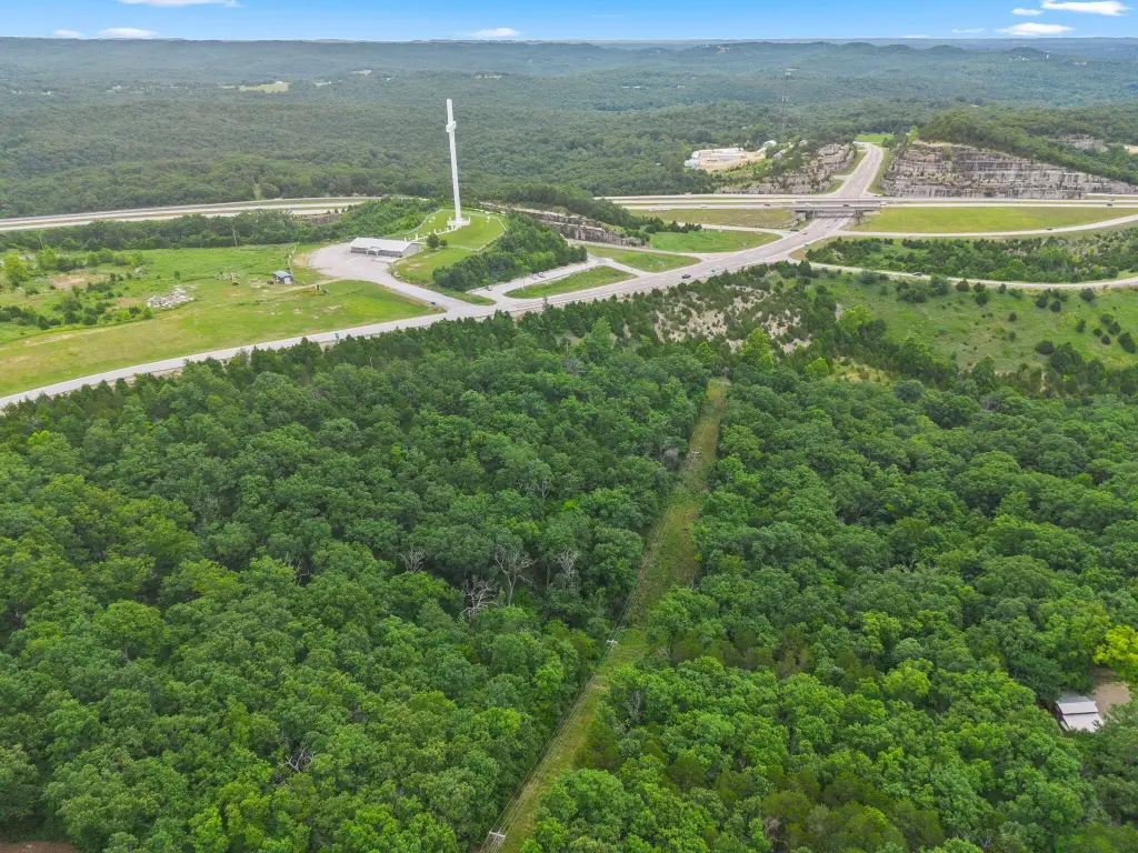
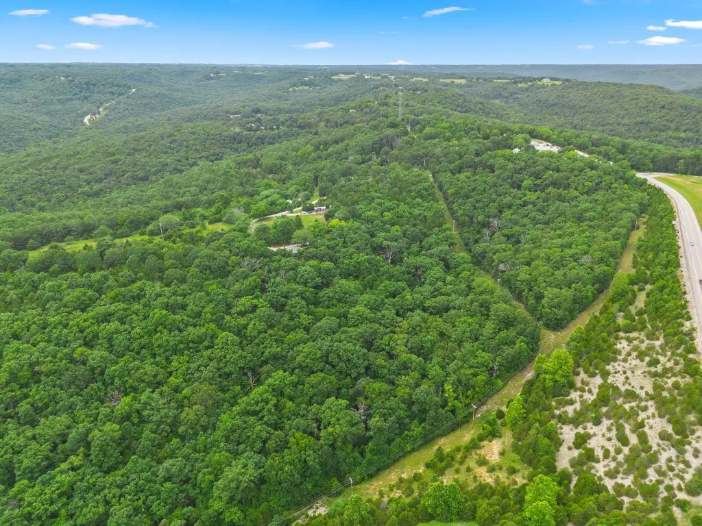
- 13+ acre nature retreat in the Ozark Hills with mature hardwood timber
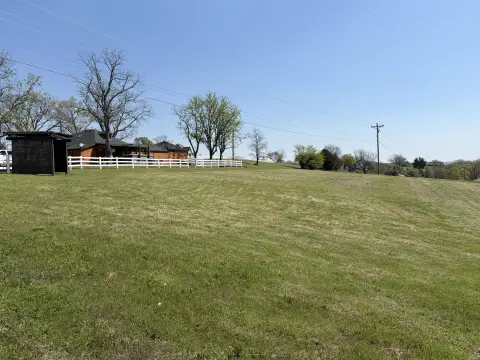
- Rough‑cut road already leads to a proposed build site
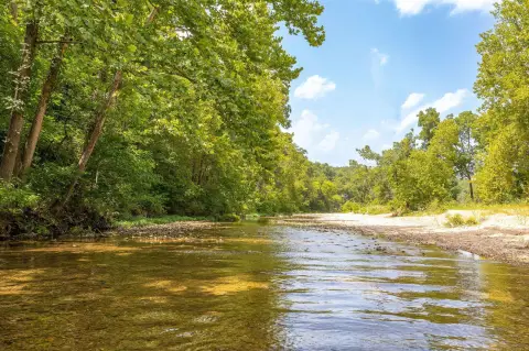
- Includes a valuable water right
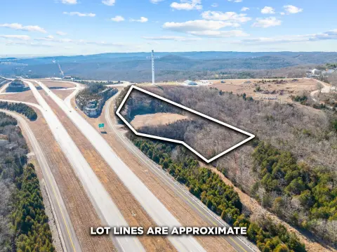
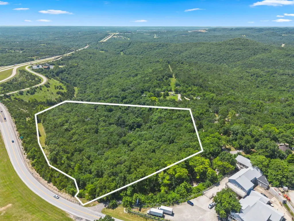
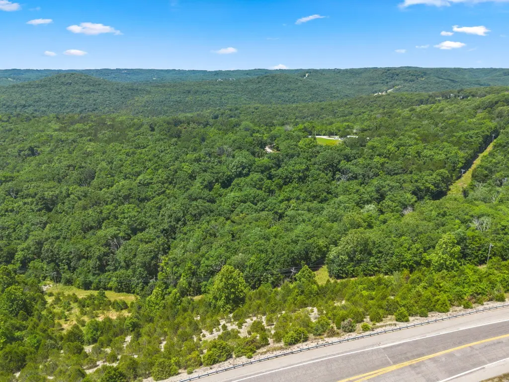
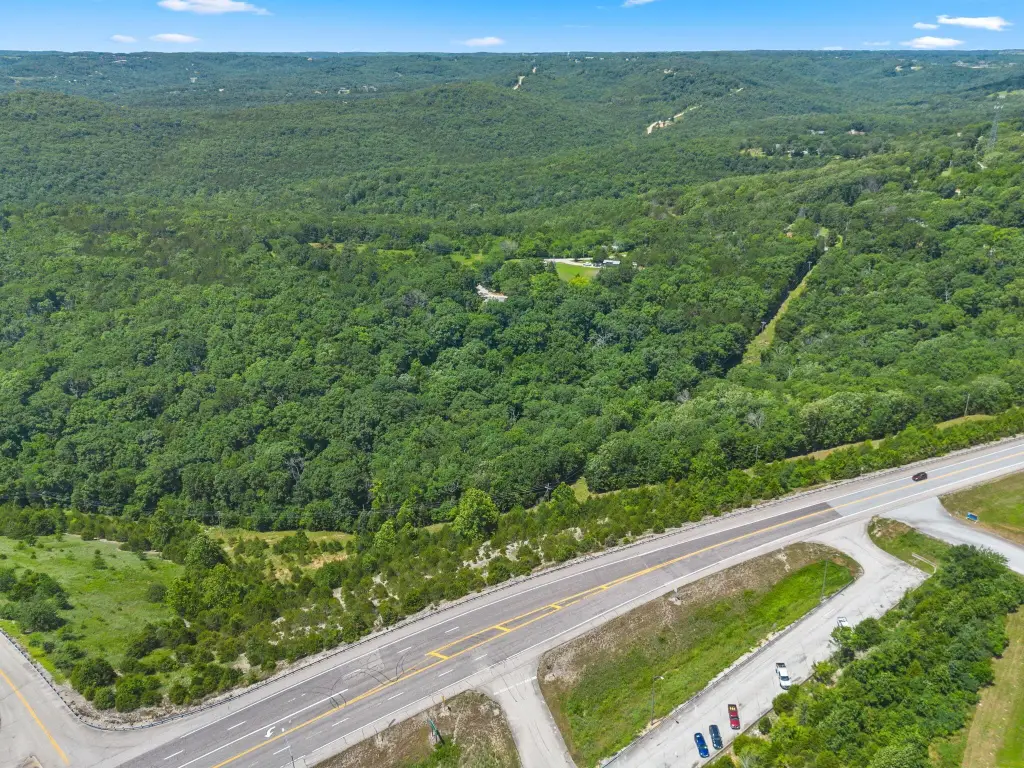
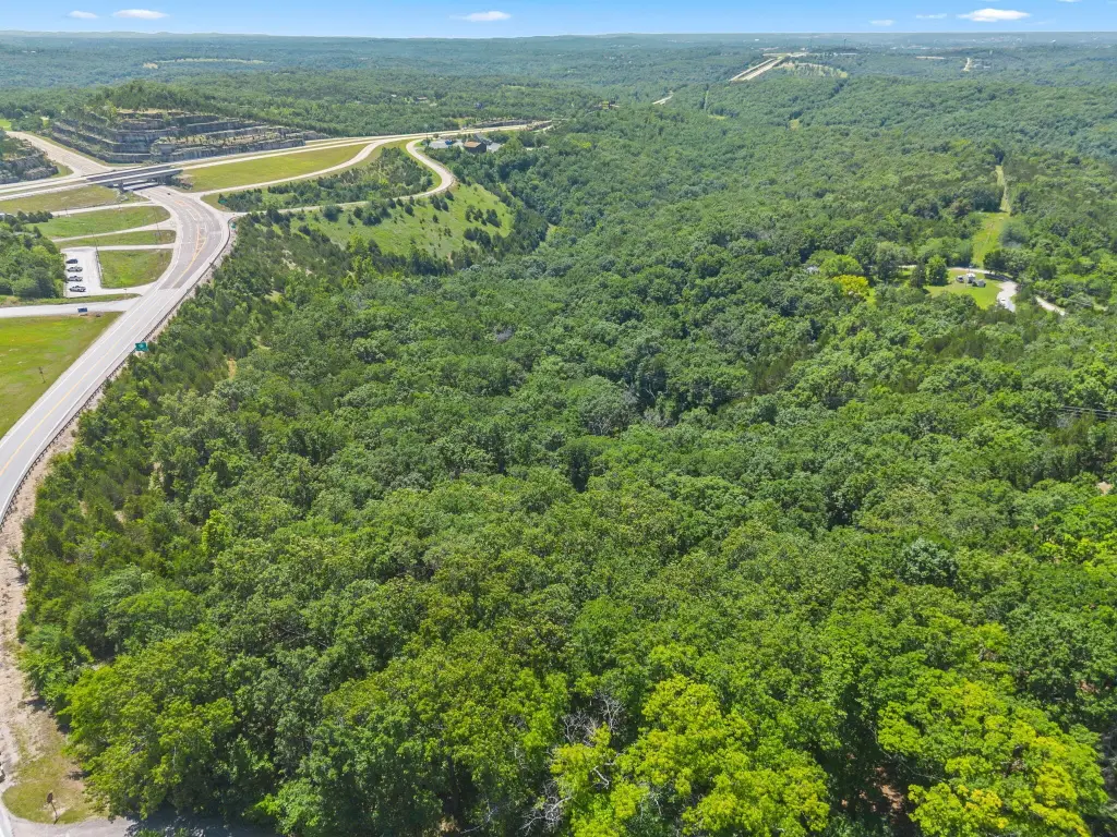
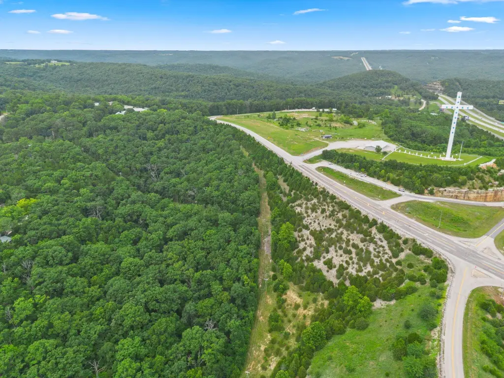
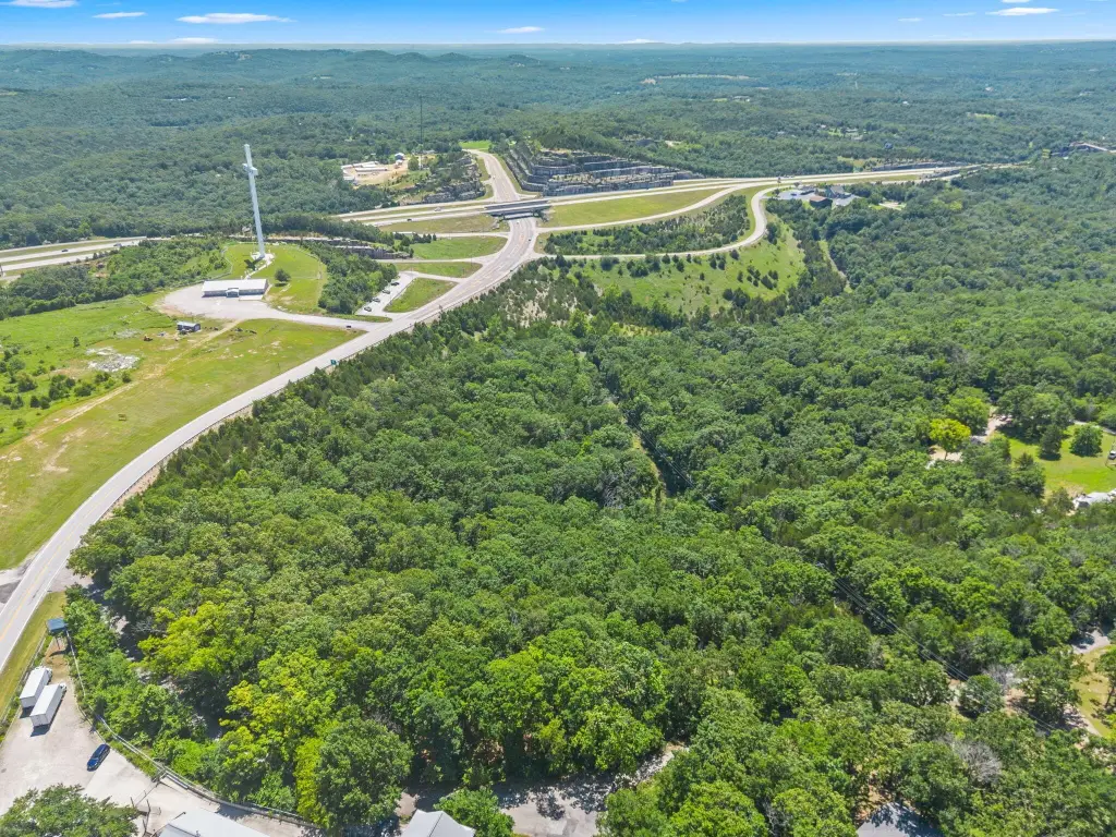
- Located just off Hwy 65 & 160 below the Branson Cross area
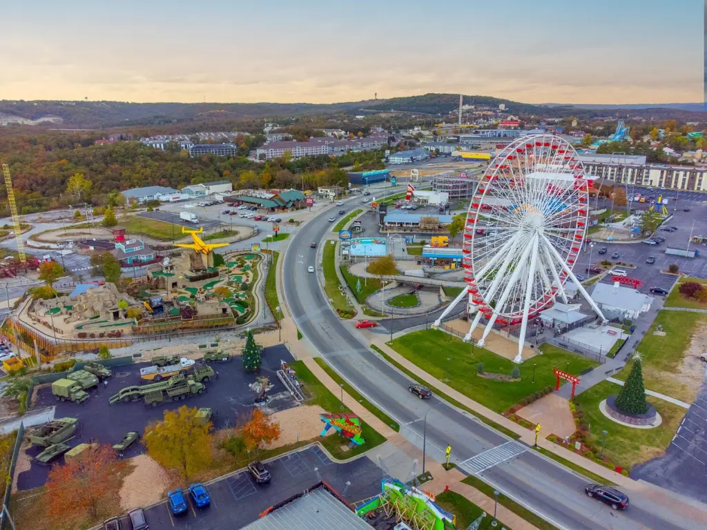
- Less than 15 minutes to the heart of Branson and Branson Schools
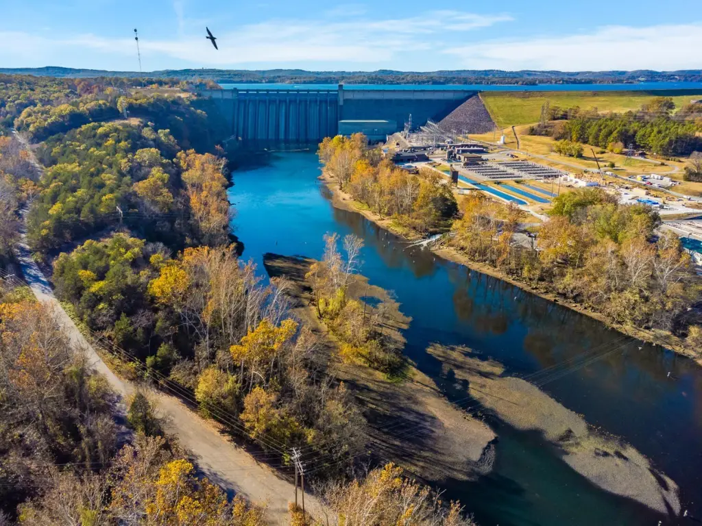
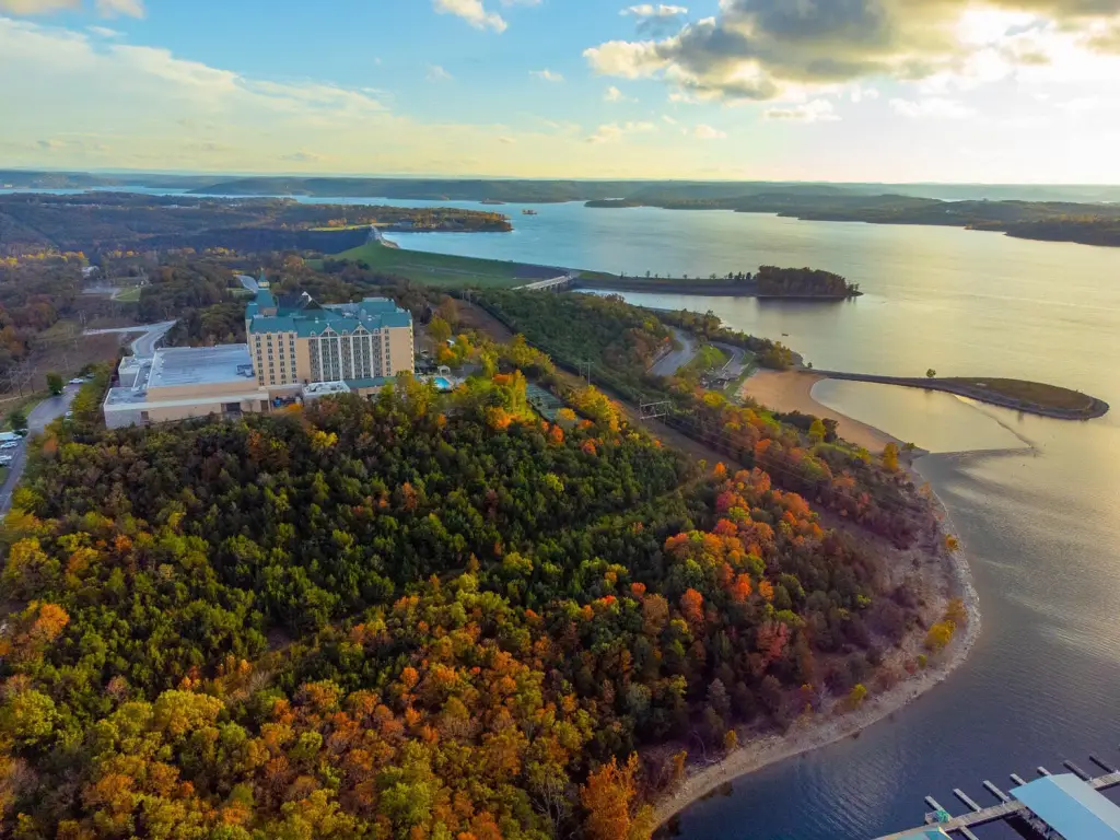
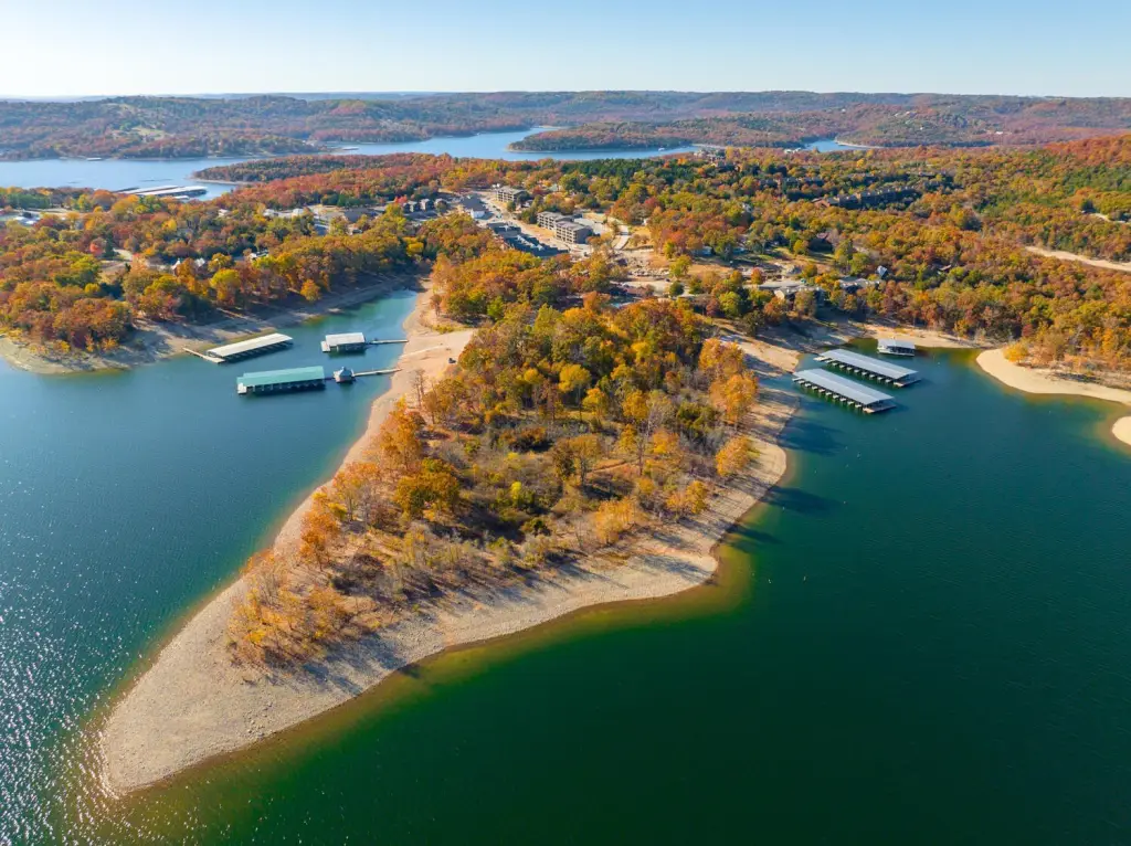
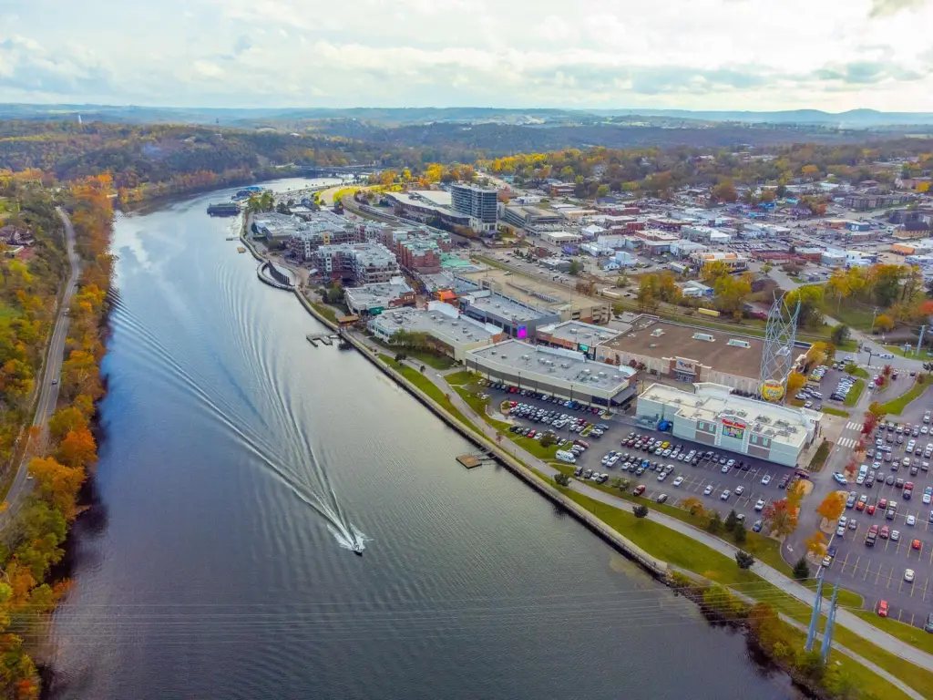
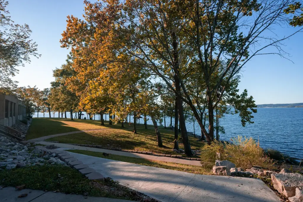
- Between Lake Taneycomo and Table Rock Lake, with Mark Twain National Forest nearby
Overview
Located just off Hwy 65 and Hwy 160 below the Branson Cross area, the property sits near major regional amenities while still maintaining a secluded feel. Walnut Shade is close to the Branson area and Branson Schools, and the parcel is positioned between Lake Taneycomo and Table Rock Lake, both known for fishing, boating, and outdoor recreation. Additional outdoor options are also nearby, including Mark Twain National Forest.
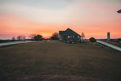
For buyers seeking a nature-focused escape or private weekend retreat, the combination of timber, established access to a build site, and an existing water right supports feasible site planning. The parcel’s wooded character and recreational setting make it well-suited to those who want to build in the Ozarks without giving up proximity to lakes, dining, and entertainment.
Current Use by Public Records
Map
- City
- Walnut Shade
- County
- Taney
- State
- Missouri
- Longitude
- -93.2285
- Latitude
- 36.751658