CRP Farmland with Wildlife
For Sale
$216,000
Pending
County Road W, Eads, CO 81036
Land, Eads, CO
Property SizeContact for details
Lot Size320.00 Acres
Days on Market156
Property Features for County Road W
General Information
Property type
Land
Property subtype
Other
Standard status
Pending
Lot size
320.00 Acres
Listing Agency:
Great Plains Land Co.
(405) 255-0051
Listed By:
Daniel Hunning
(405) 623-1591
Added: May 8
Changed: Sep 29
Last Checked: Oct 10 at 10:06PM
MLS# 11777829
Copyright © 2026 My State MLS. All rights reserved. All information provided by the listing agent/broker is deemed reliable but is not guaranteed and should be independently verified.
Investment Insights
Based on property information with market context.
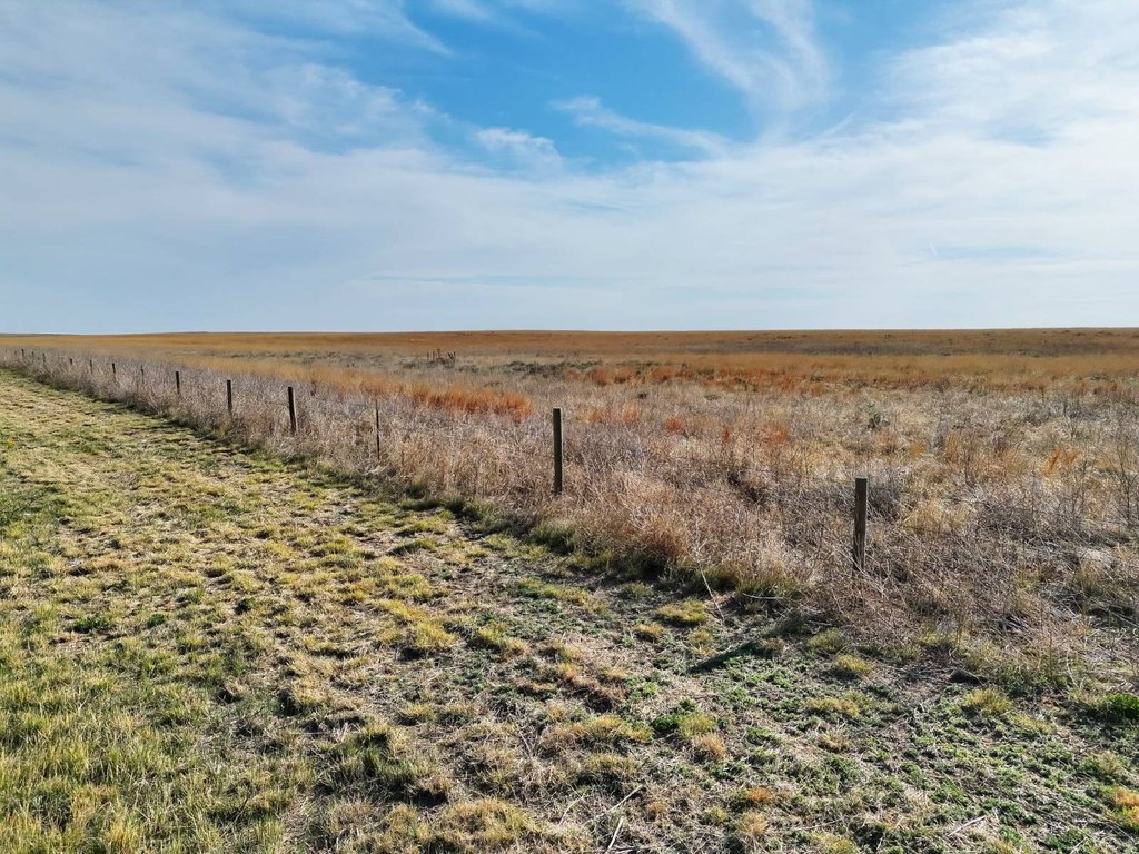
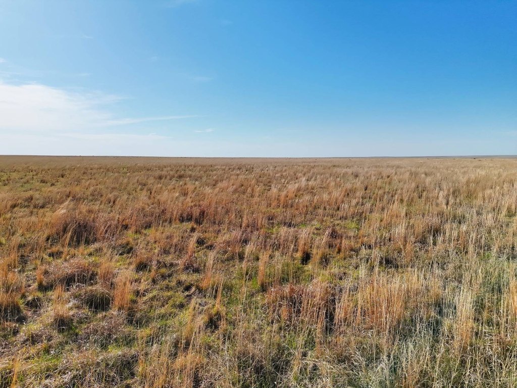
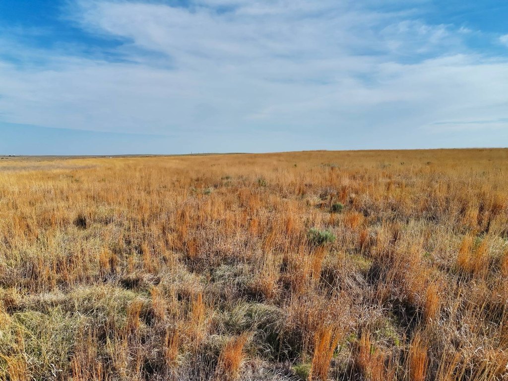
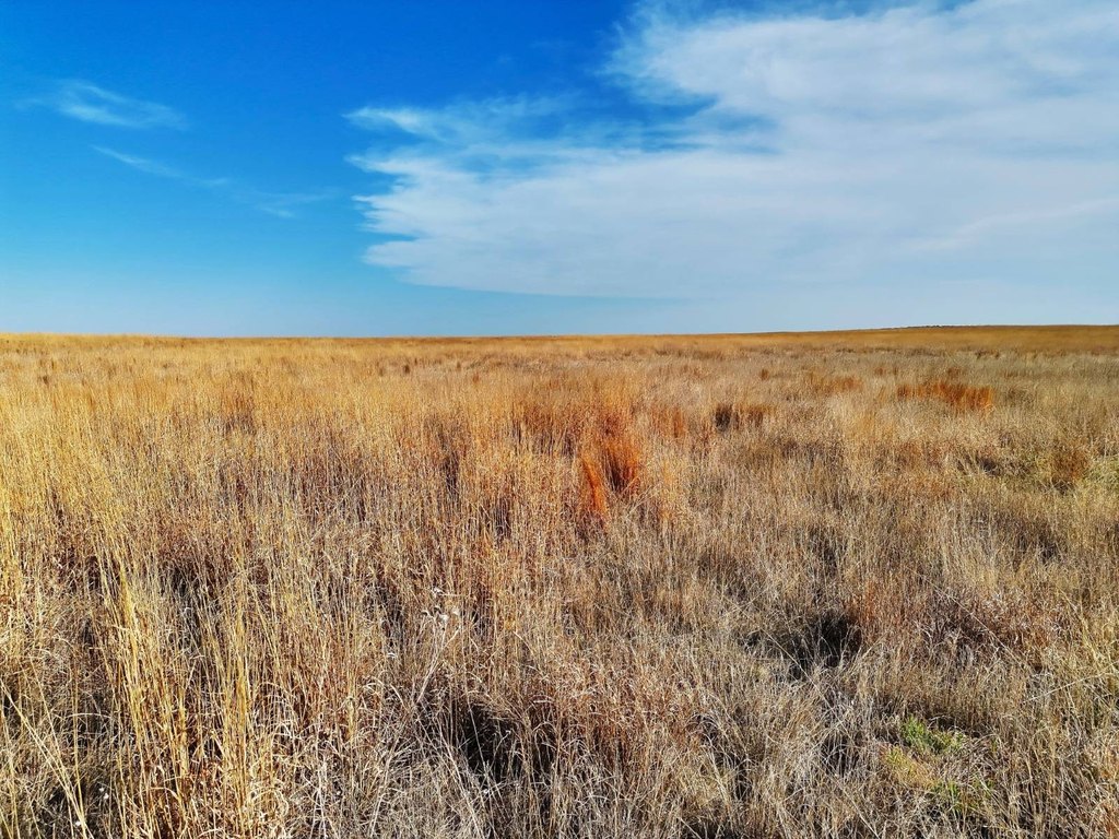
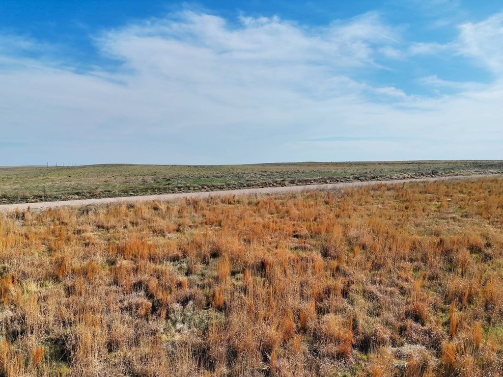
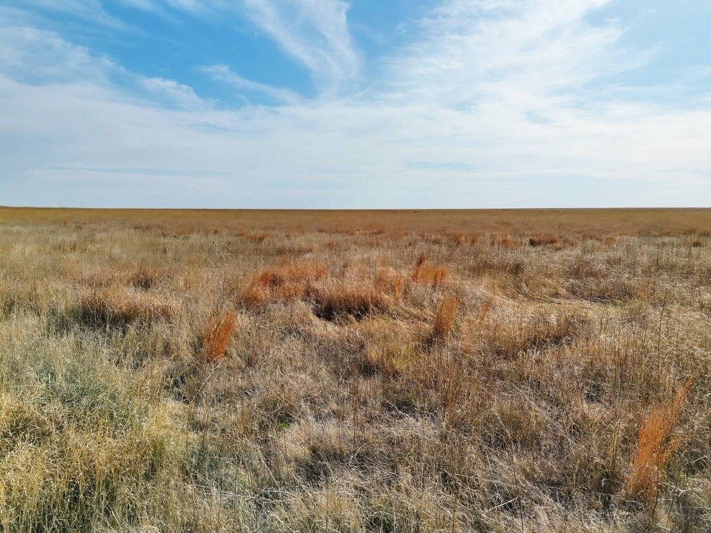
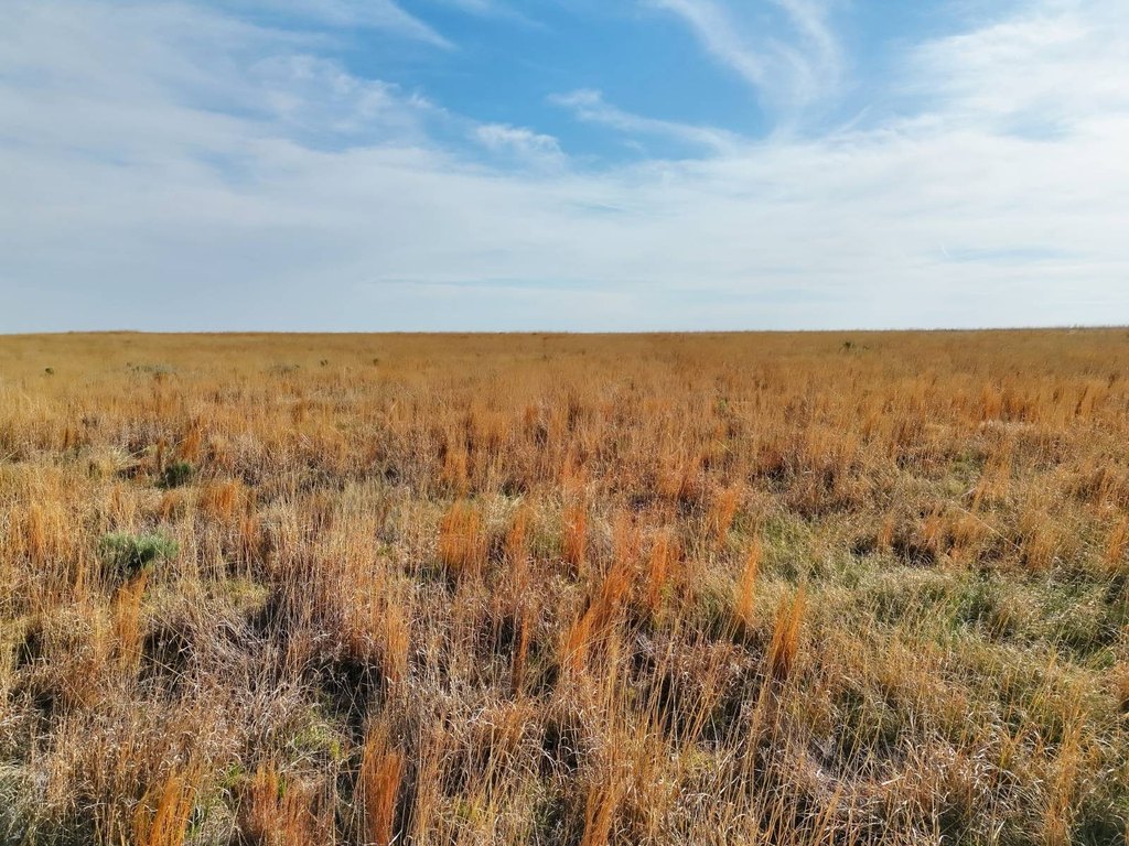
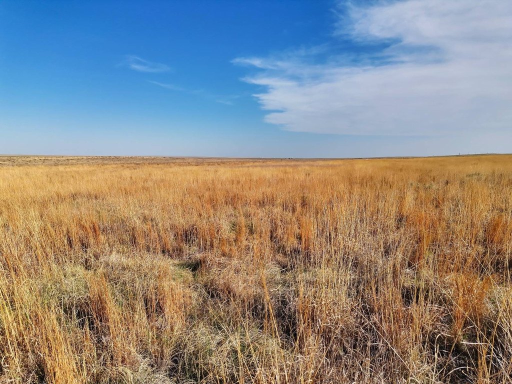
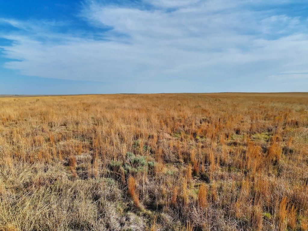
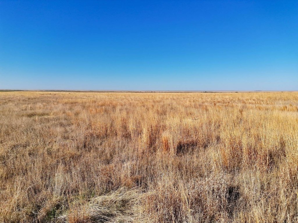
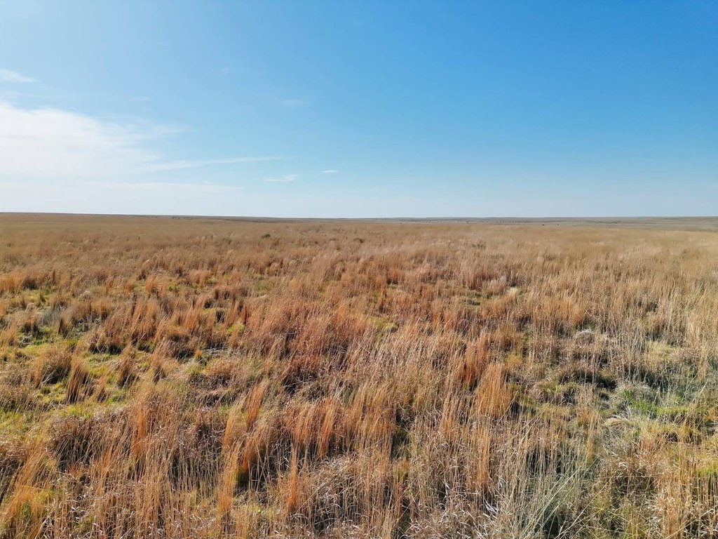
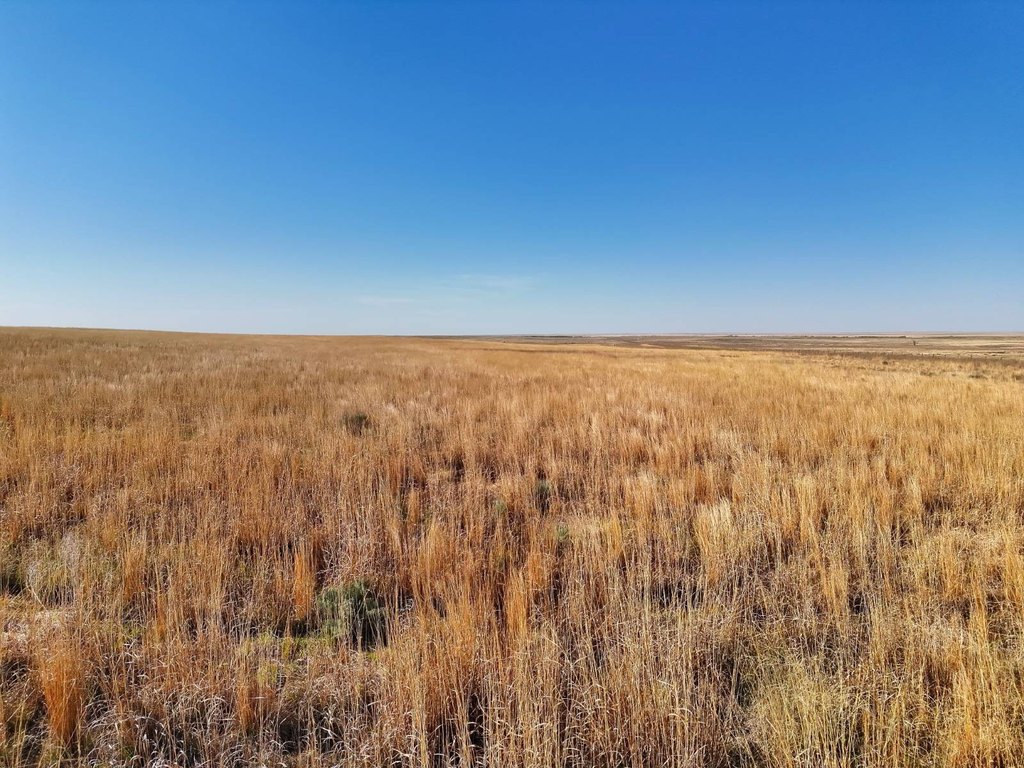
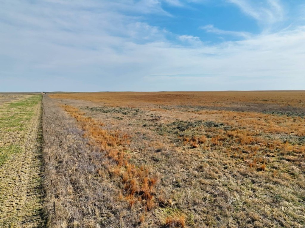
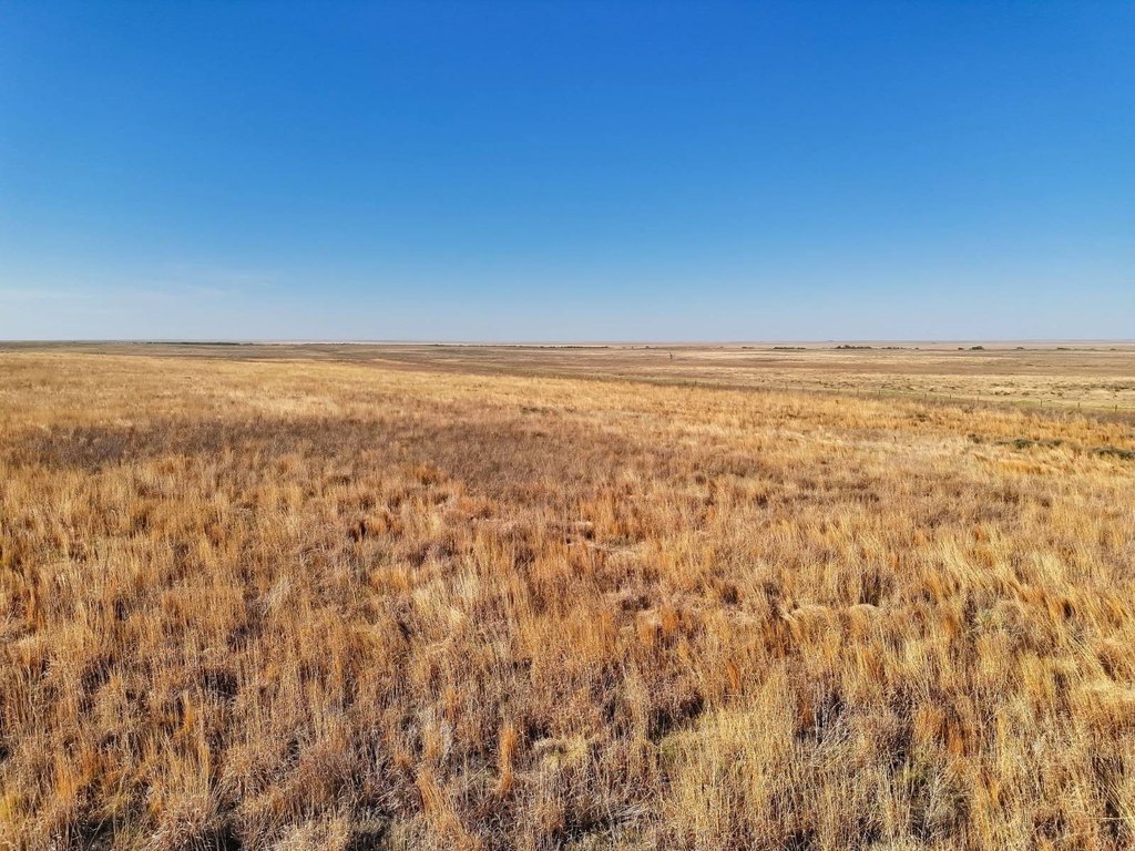
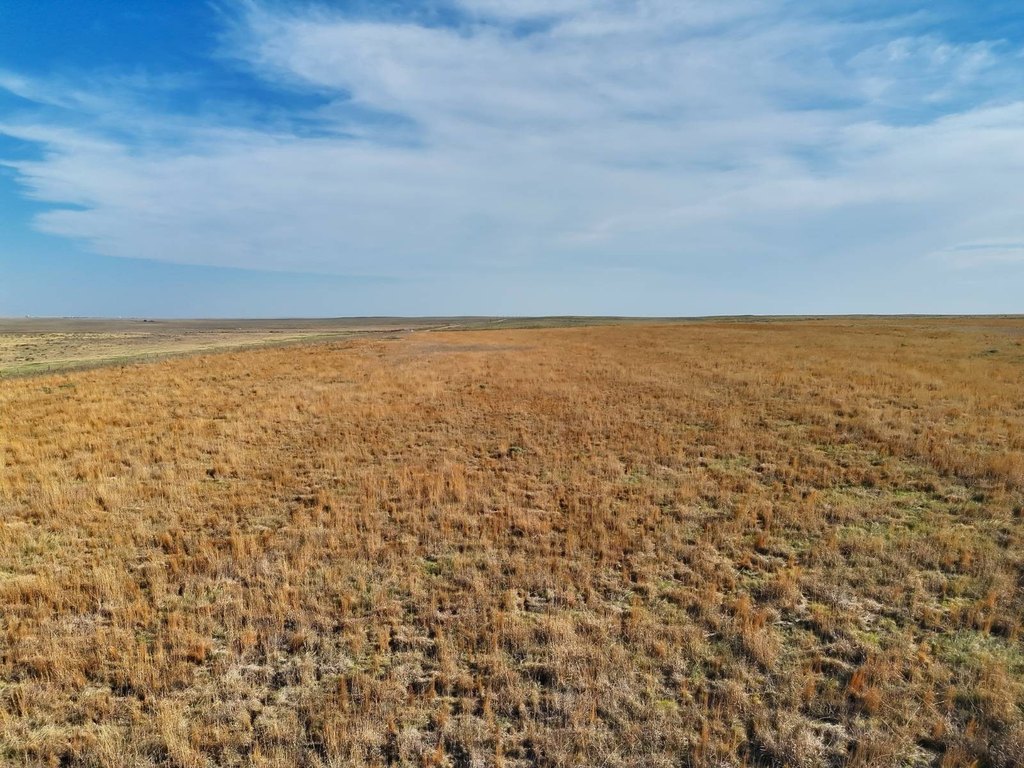
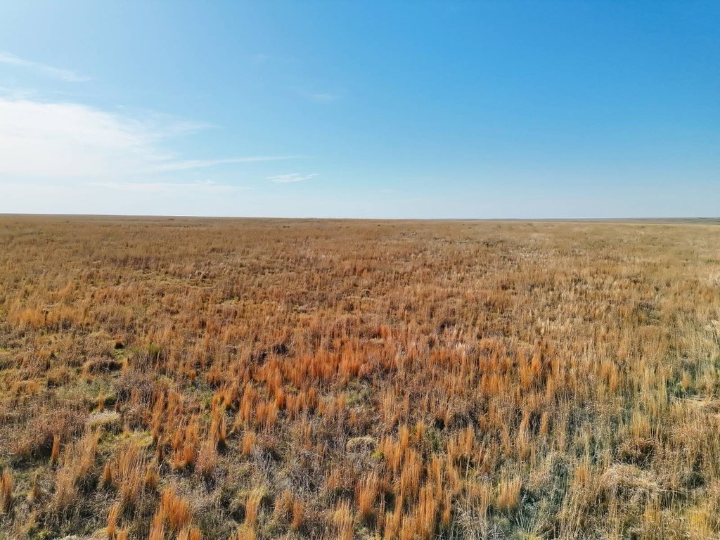
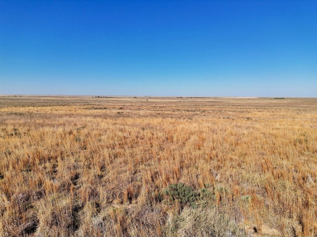
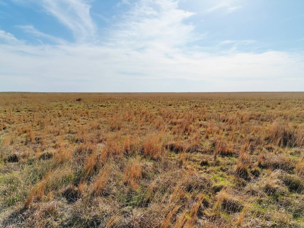
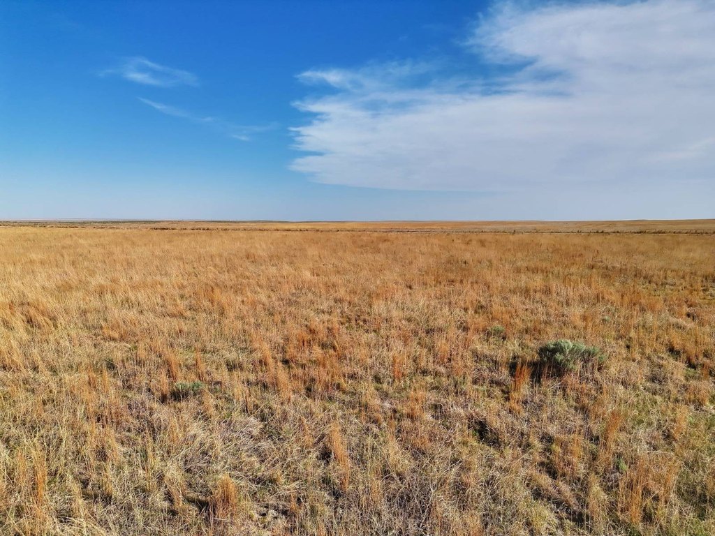
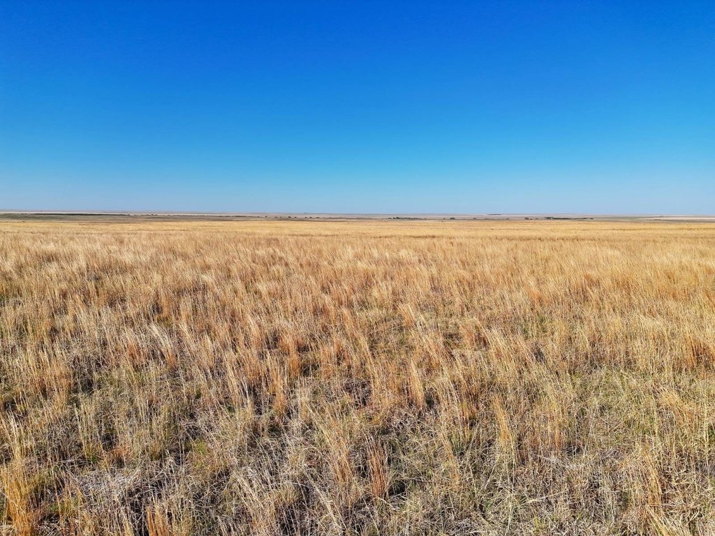
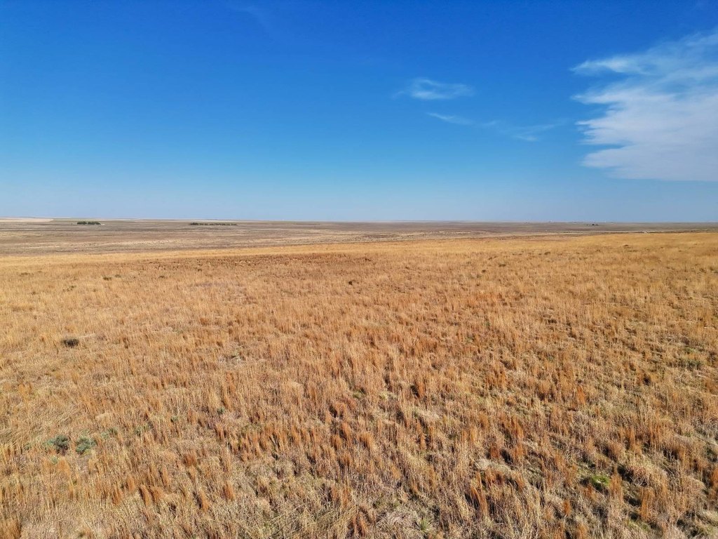
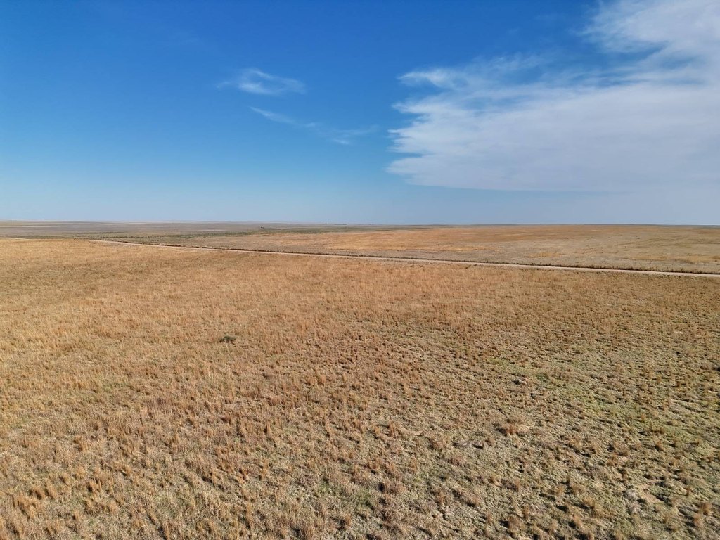
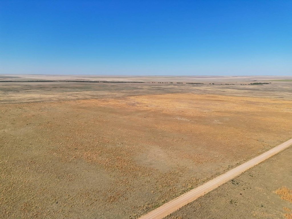
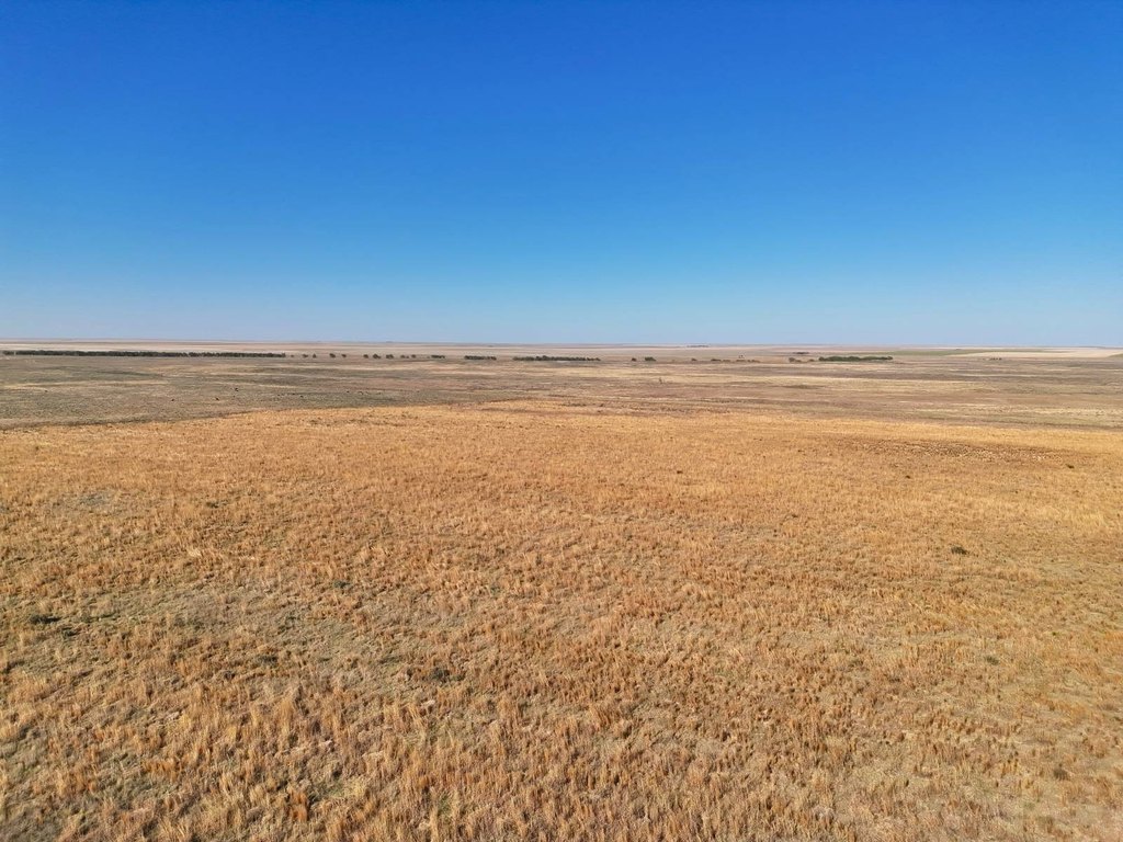
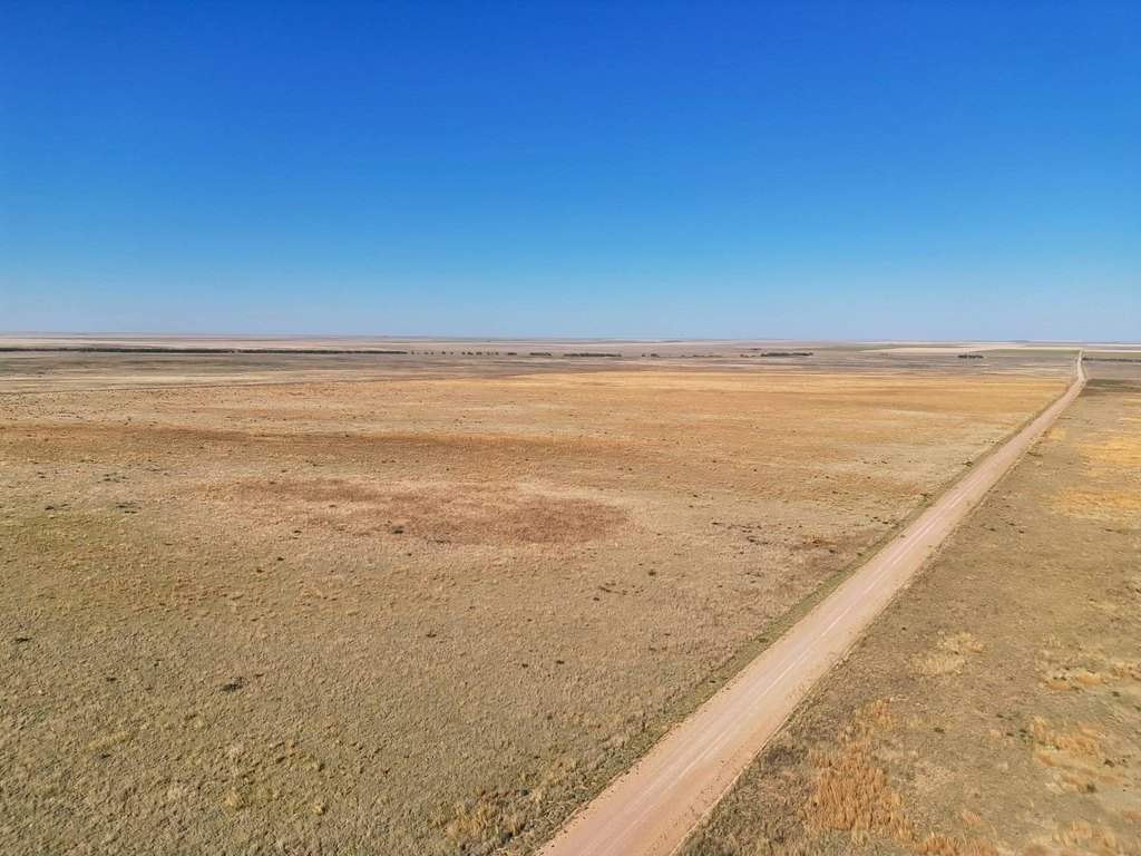
This 320-acre agricultural property in Kiowa County consists of mostly level Class IV soils and is enrolled in the Conservation Reserve Program. The acreage has been accepted into a new 10-year CRP contract, with an option for the buyer to terminate the enrollment and return the land to tillable crop production or potentially livestock pasture. Thick CRP grass provides cover and bedding areas for deer, antelope, and small game.
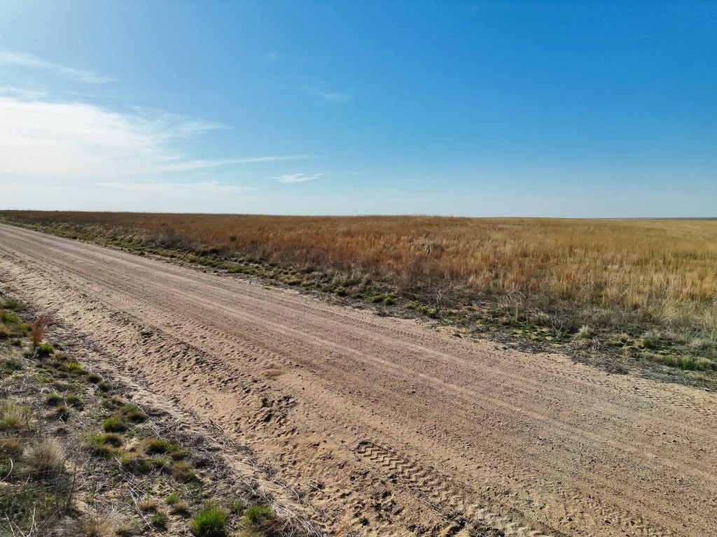
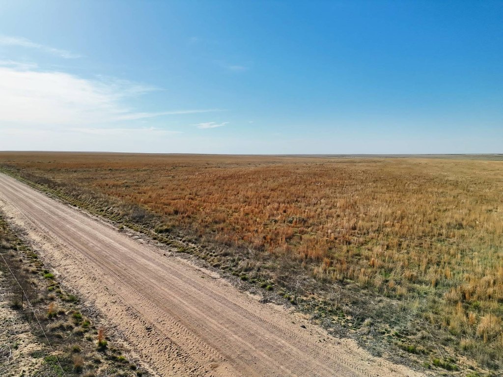
The property fronts a county road and lies a short distance from paved Highway 96 and Eads. It is adjacent to the Sand Creek National Massacre Historic Site and Sand Creek, placing the acreage in Colorado Big Game Management Unit 122. The property also qualifies for deer and antelope vouchers through the Colorado Parks and Wildlife Landowner Preference Program. Nearby agricultural production includes wheat, milo, and millet.
The property fronts a county road and lies a short distance from paved Highway 96 and Eads. It is adjacent to the Sand Creek National Massacre Historic Site and Sand Creek, placing the acreage in Colorado Big Game Management Unit 122. The property also qualifies for deer and antelope vouchers through the Colorado Parks and Wildlife Landowner Preference Program. Nearby agricultural production includes wheat, milo, and millet.
Key Highlights
- 320 acres of agricultural land in Kiowa County
- Accepted into a new 10‑year CRP contract with buyer termination option
- Mostly level Class IV soils
Property Analytics
Current Use
Lease Details
Yes
Highway access
Yes
Paved road access
Location Intelligence
Demographics for 81036, CO
991
Population
528
Households
1.9
Avg Household Size
45
Median Age
17%
College-Educated
90%
High-School Grad
737.2 sq mi
ZIP Area
1
Density / Sq Mi
$57,625
Median Household Income
$37,218
Median Earnings
$903
Median Rent
$157,500
Median Home Value

Questions? Ask Rey
Realmo’s AI knows this listing — price, zoning, demand, history. Ask anything.


Frequently Asked Questions
What type of property is this?
Agricultural land / Farmland - Level agricultural acreage under CRP enrollment with wildlife habitat, county road access, and potential for crop or pasture use.
Where is this agricultural land / farmland located?
The property is located at County Road W Eads, CO.
What is the asking price?
The asking price for this property is $216,000.
What are key features of this property?
This property features: 320 acres of agricultural land in Kiowa County; Accepted into a new 10‑year CRP contract with buyer termination option; Mostly level Class IV soils


