Timbered Agricultural






For Sale
$1,150,000
County Road 2136, Tatum, TX 75691
Land, Tatum, TX
Property SizeContact for details
Lot Size80.96 Acres
Days on Market93
Property Features for County Road 2136
General Information
Property type
Land
Property subtype
Other
Lot features
Acreage, Many Trees
Elementary school
Tatum
Middle school
Tatum
High school
Tatum
Elementary school district
Tatum ISD
Middle school district
Tatum ISD
High school district
Tatum ISD
Directions
Geo Coordinates: 32.256, -94.6506
Standard status
Active
APN
16850
Lot size
80.96 Acres
Listing Agency:
Whitetail Properties Real Estate
(217) 285-9000
Listed By:
Cody Robertson · License #0588216
(830) 428-0096
Added: Jul 7
Changed: Sep 7
Last Checked: Oct 7 at 10:06PM
MLS# 21322786
Copyright © 2026 North Texas Real Estate Information Systems, Inc. All rights reserved. All information provided by the listing agent/broker is deemed reliable but is not guaranteed and should be independently verified.
Investment Insights
Based on property information with market context.
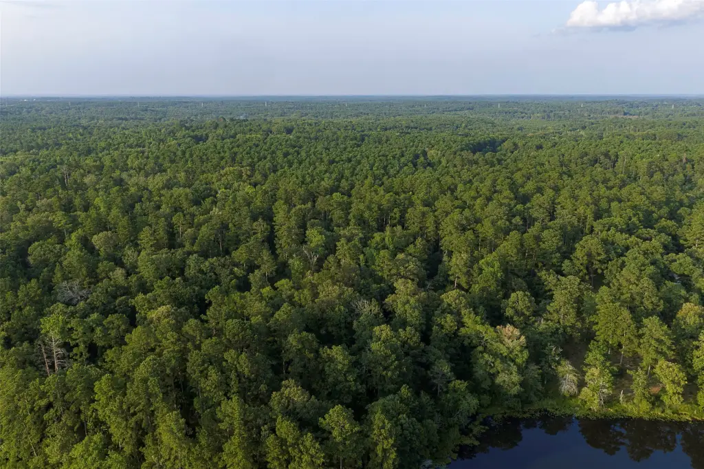
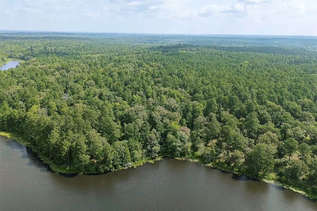
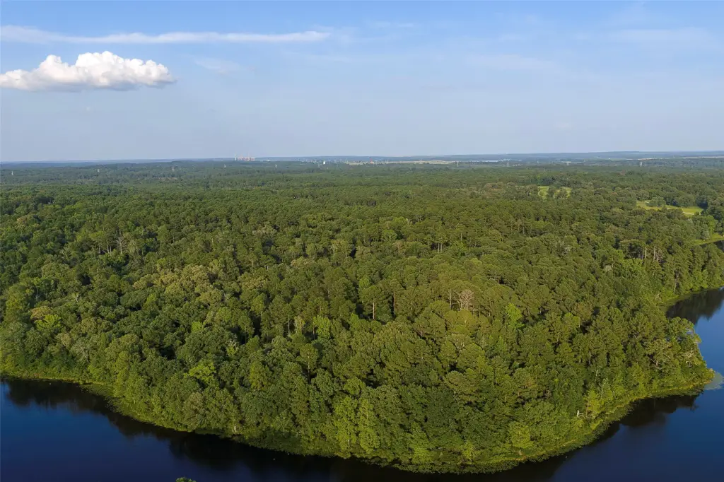
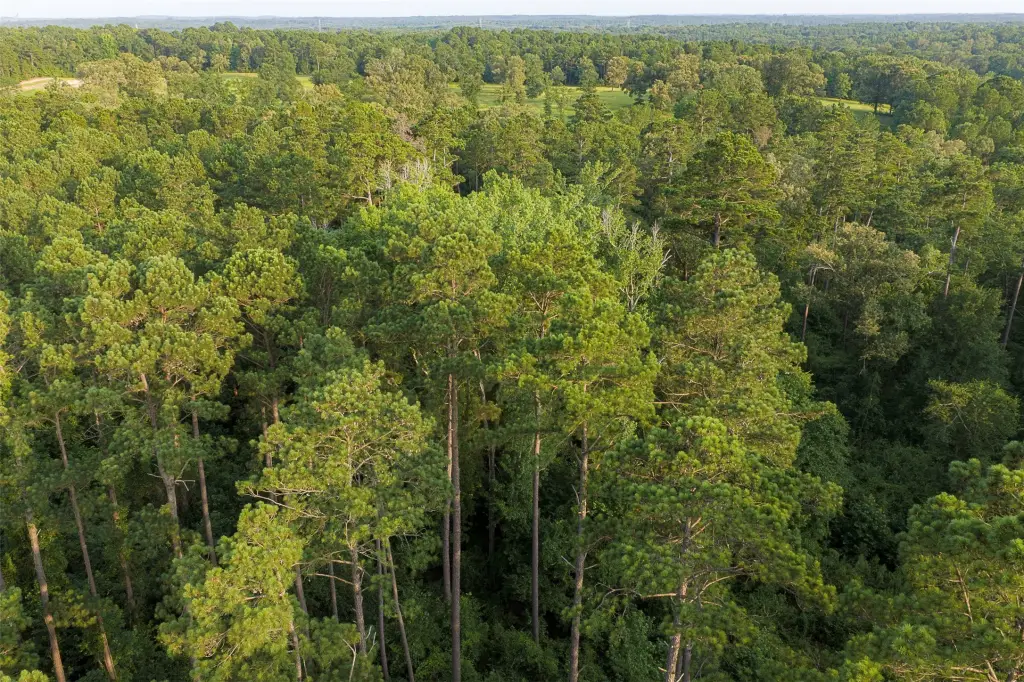
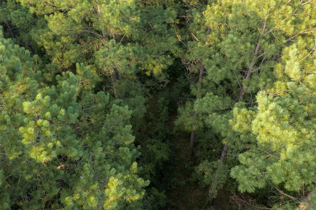
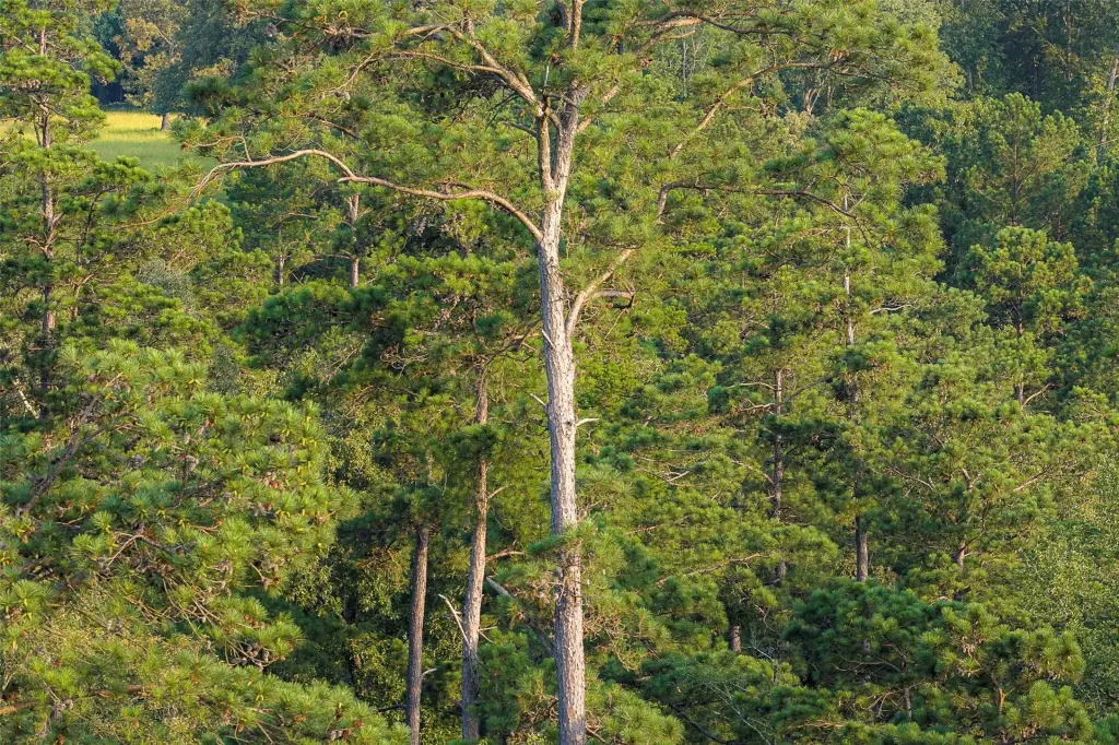
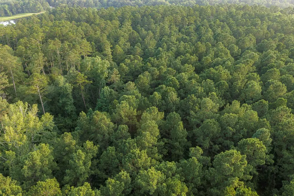
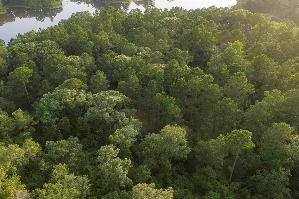
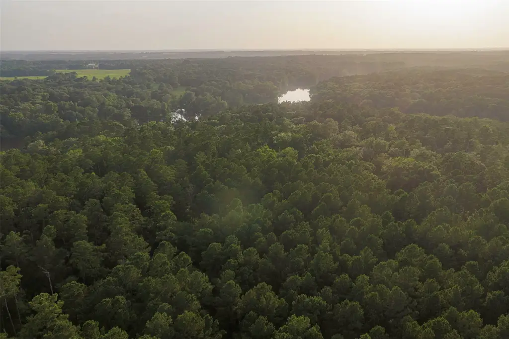
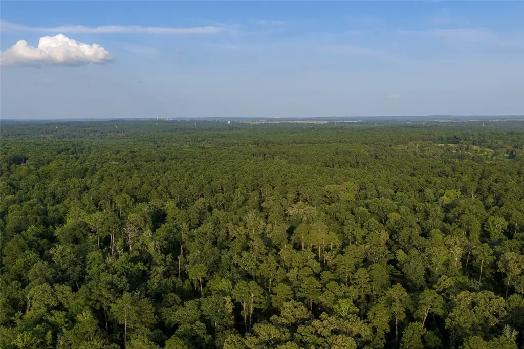
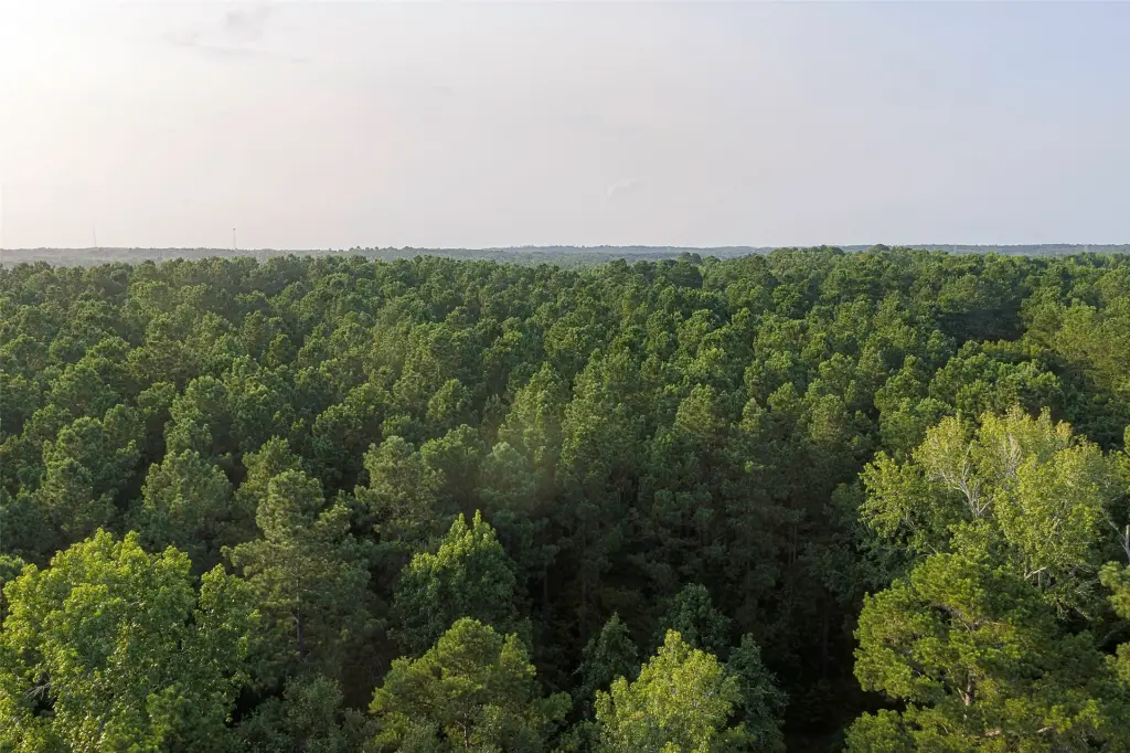
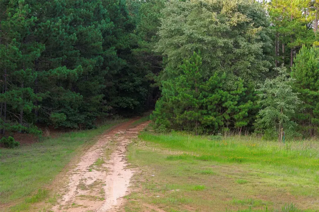
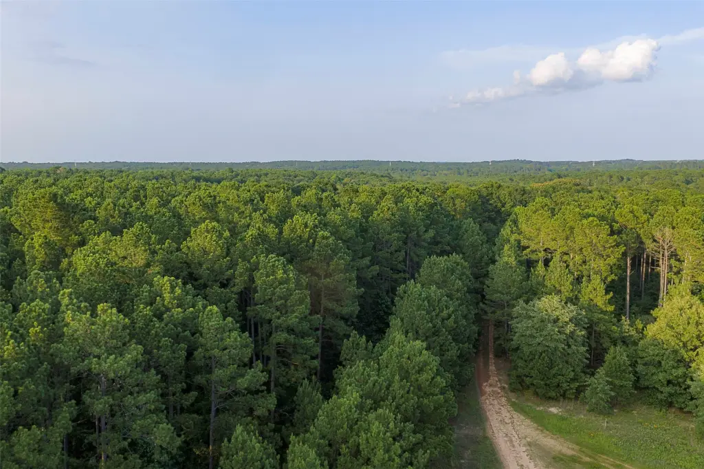
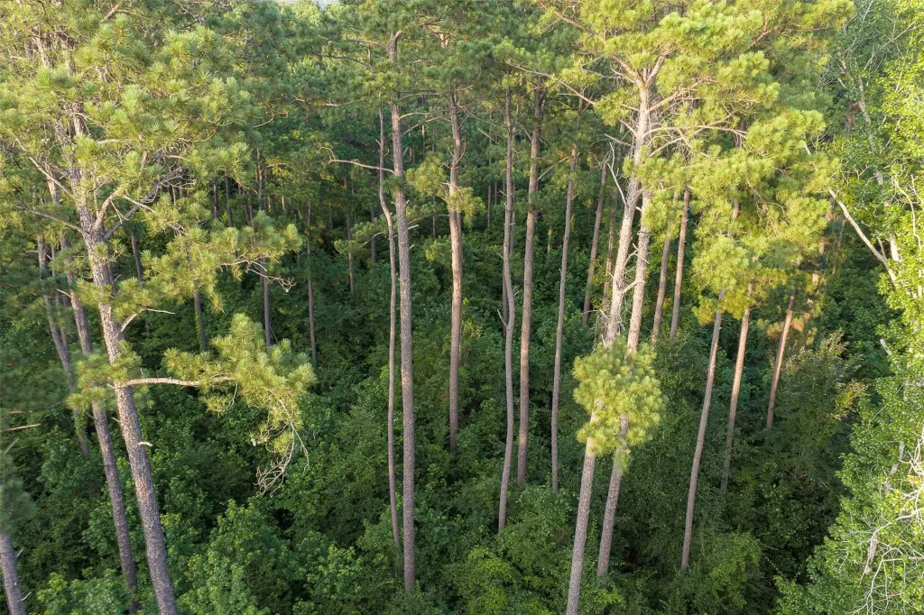
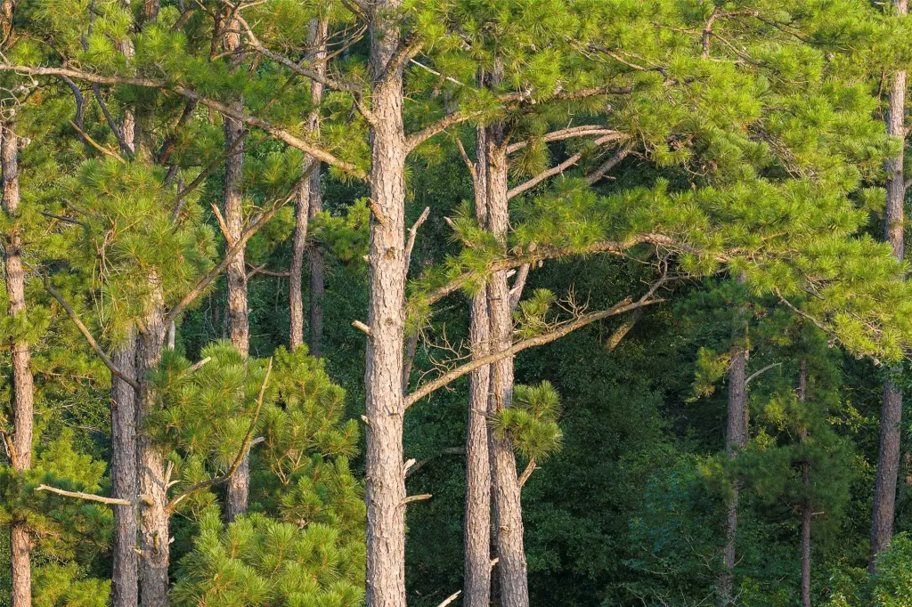
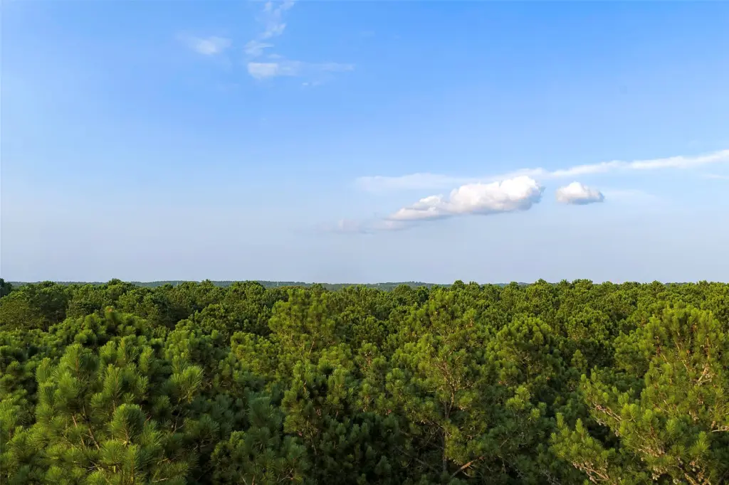
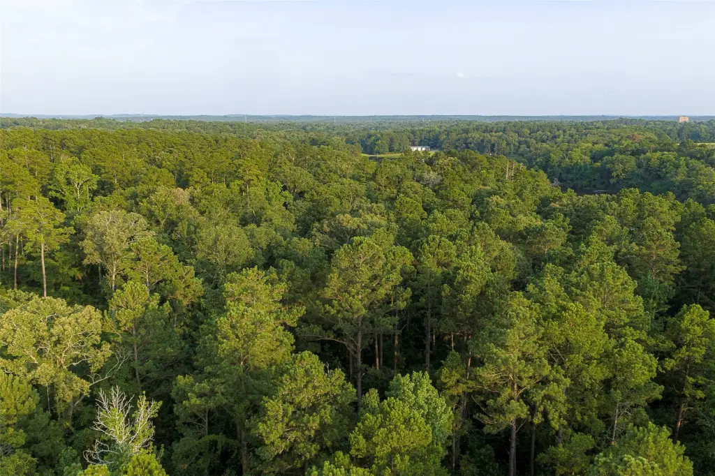
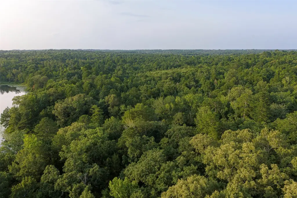
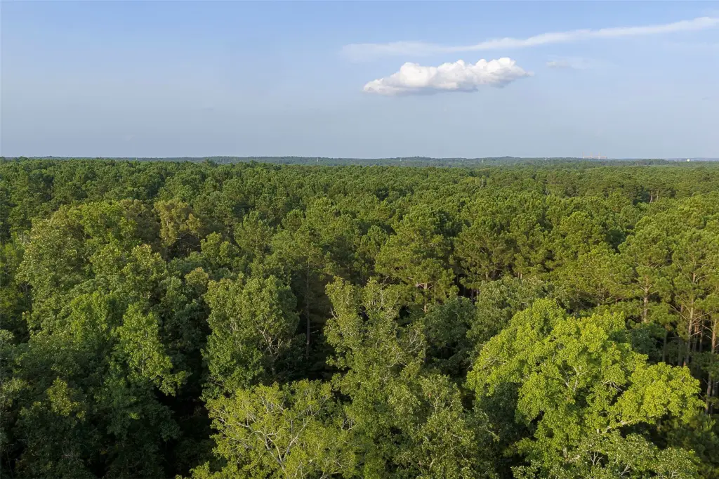
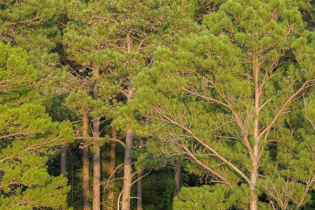
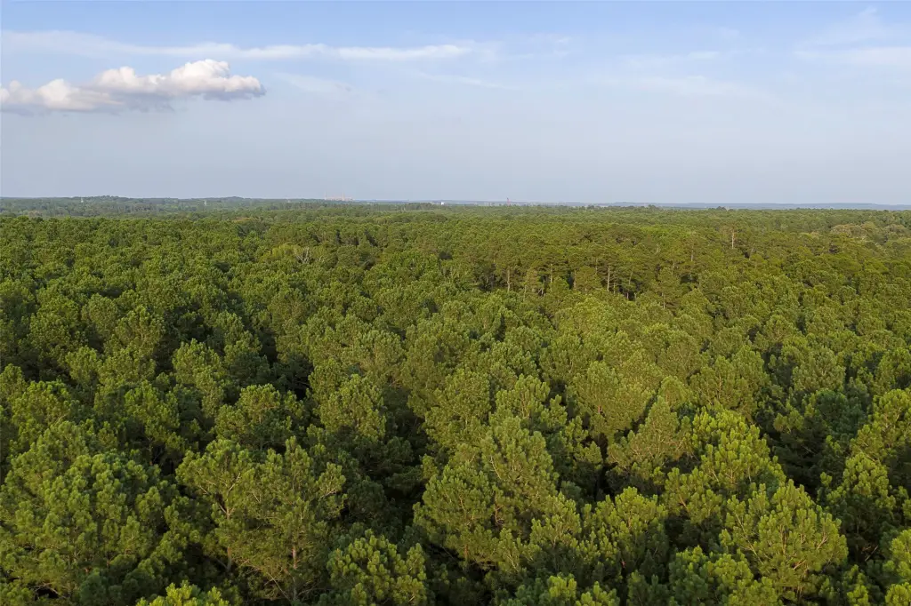
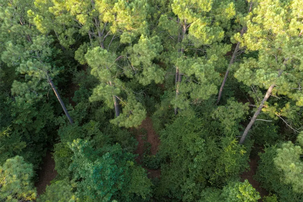
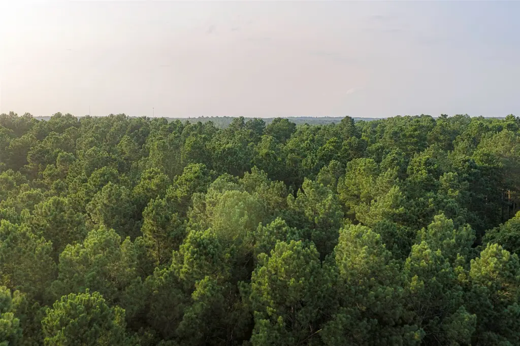
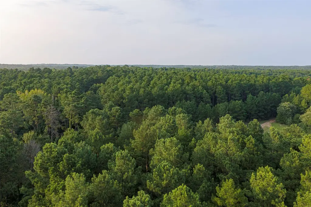
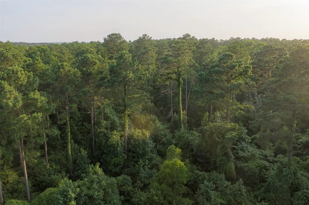
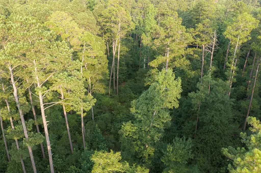
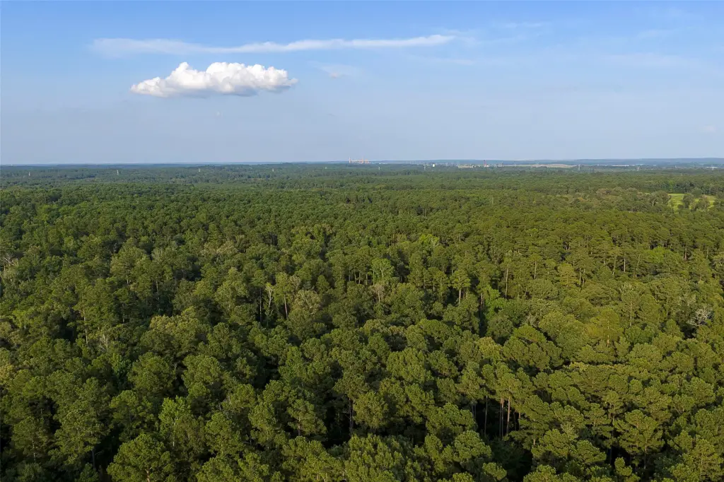
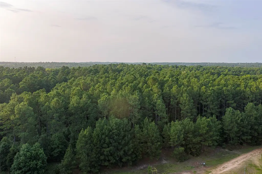
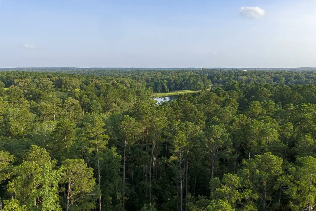
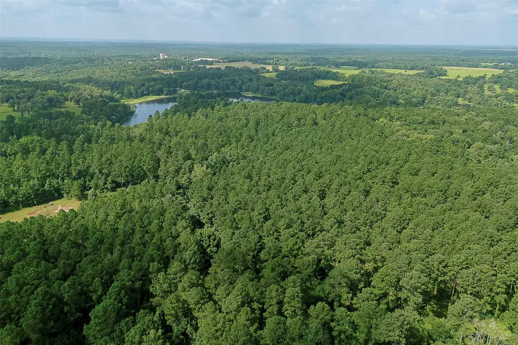
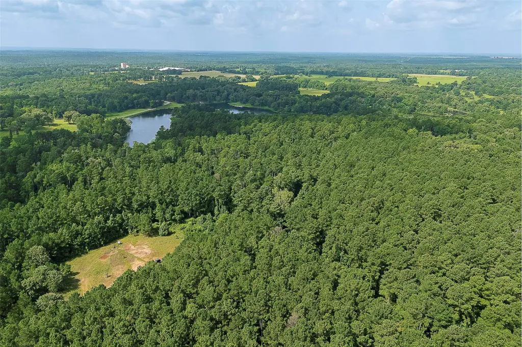
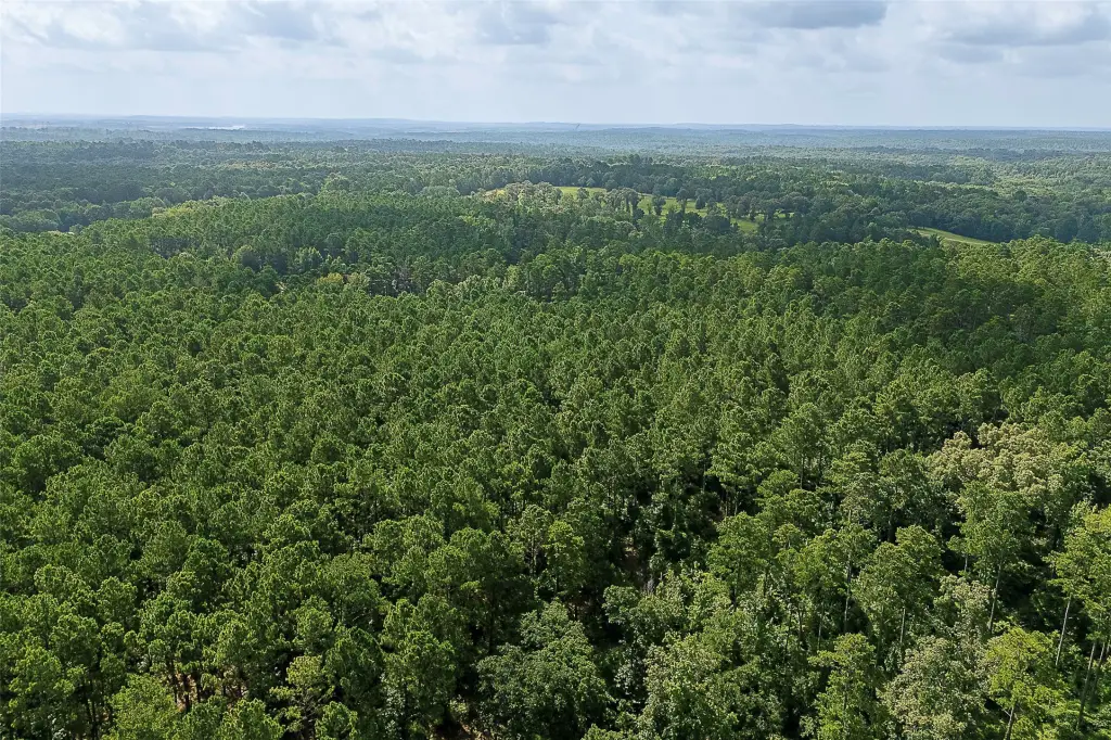
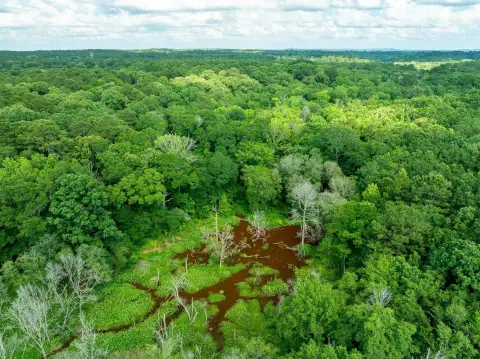
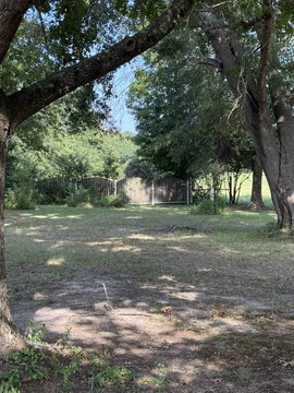
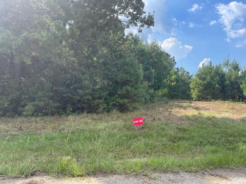
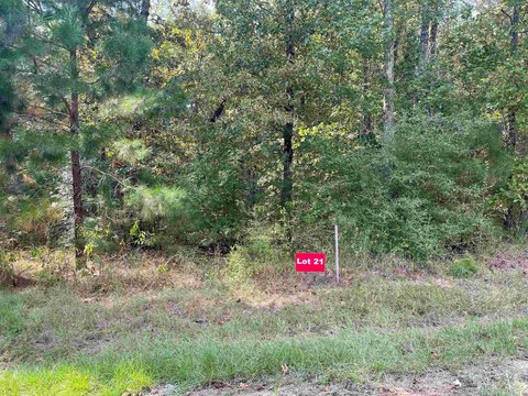
This 80.962-acre vacant tract combines a maintained pine plantation with mixed native hardwoods and a relatively clean natural understory. The property includes mostly upland terrain, with ridge land through the northern portion and drainage moving west and south. Timber management includes two completed thinnings. A gated entrance and an existing small oil-gas pad site are present, along with a small gas pipeline. The offering is for surface rights only.
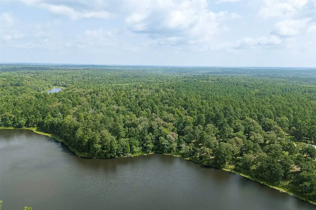
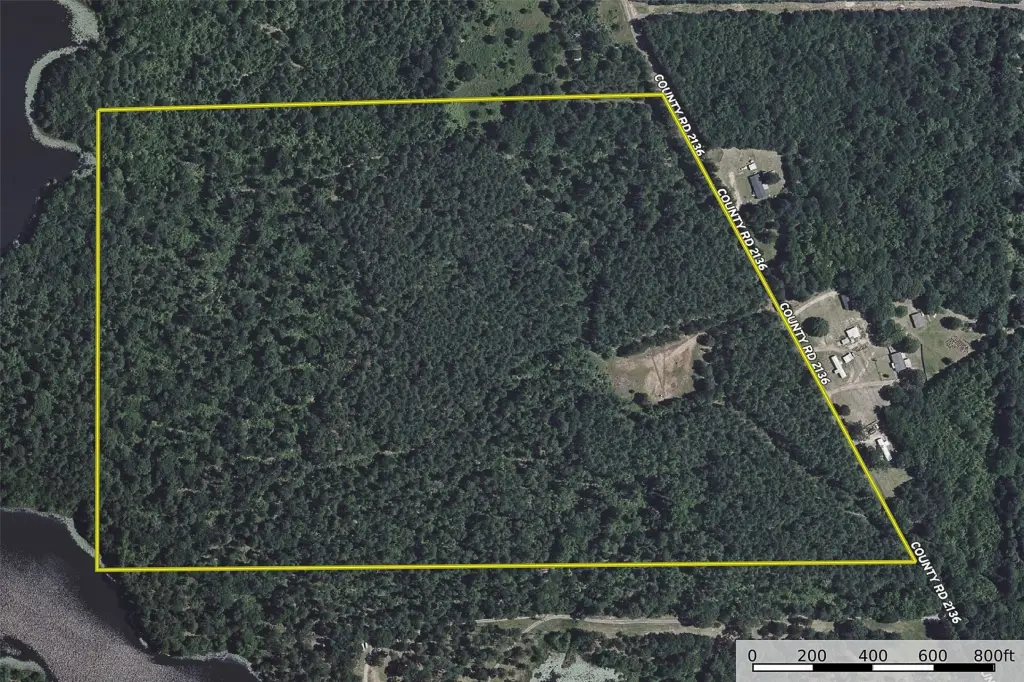
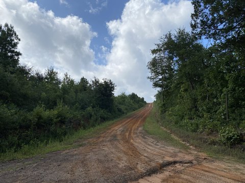
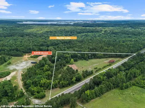
County Road 2136 borders the west side of the tract, with approximately 1,646 feet of frontage identified by a recent survey. Electricity is reported across the road, and the property is reported within the New Prospect WSC service area. The survey indicates that the southwest corner reaches a privately owned neighboring lake, although access, use, fishing, water, and dock rights have not been confirmed.
County Road 2136 borders the west side of the tract, with approximately 1,646 feet of frontage identified by a recent survey. Electricity is reported across the road, and the property is reported within the New Prospect WSC service area. The survey indicates that the southwest corner reaches a privately owned neighboring lake, although access, use, fishing, water, and dock rights have not been confirmed.
Key Highlights
- 80.962 acres of vacant timberland
- Approximately 1,646 feet of frontage on County Road 2136
- Maintained pine plantation with two thinnings and mixed native hardwoods
Property Analytics
Current Use
Lease Details
Yes
Paved road access
Yes
Utilities to site
Location Intelligence
Trade Area within ½ mile
3
Businesses Nearby
Explore this area
Business Placement
Demographics for 75691, TX
4,025
Population
2,029
Households
2
Avg Household Size
40
Median Age
17%
College-Educated
91%
High-School Grad
95.1 sq mi
ZIP Area
42
Density / Sq Mi
$87,361
Median Household Income
$45,018
Median Earnings
$958
Median Rent
$195,200
Median Home Value

Questions? Ask Rey
Realmo’s AI knows this listing — price, zoning, demand, history. Ask anything.




Frequently Asked Questions
What type of property is this?
Agricultural land / Farmland - Vacant timber acreage with county road frontage, gated access, and varied upland terrain.
Where is this agricultural land / farmland located?
The property is located at County Road 2136 Tatum, TX.
What is the asking price?
The asking price for this property is $1,150,000.
What are key features of this property?
This property features: 80.962 acres of vacant timberland; Approximately 1,646 feet of frontage on County Road 2136; Maintained pine plantation with two thinnings and mixed native hardwoods


