Farm with Hardwood

For Sale
$529,650
Pending
County Road 2035, Clifton Hill, MO 65244
Land, Clifton Hill, MO
Property SizeContact for details
Lot Size107.00 Acres
Days on Market185
Property Features for County Road 2035
General Information
Property type
Land
Property subtype
Other
Elementary school district
Westran
Middle school district
Westran
High school district
Westran
Directions
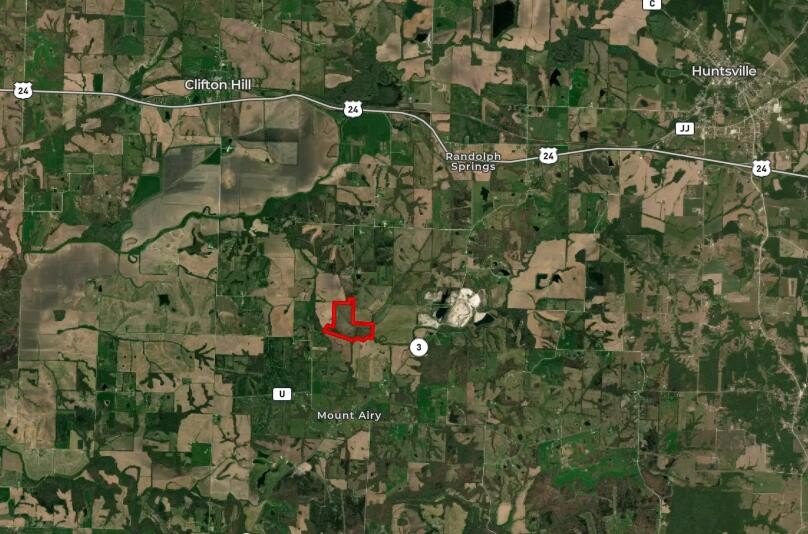
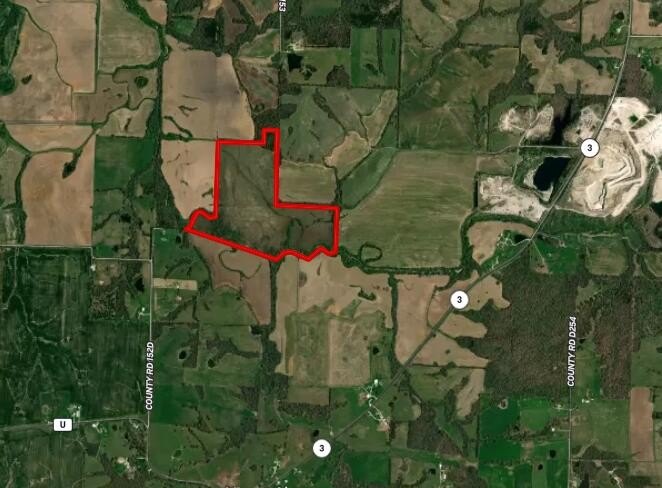
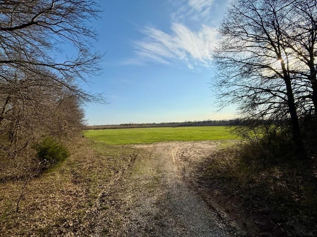
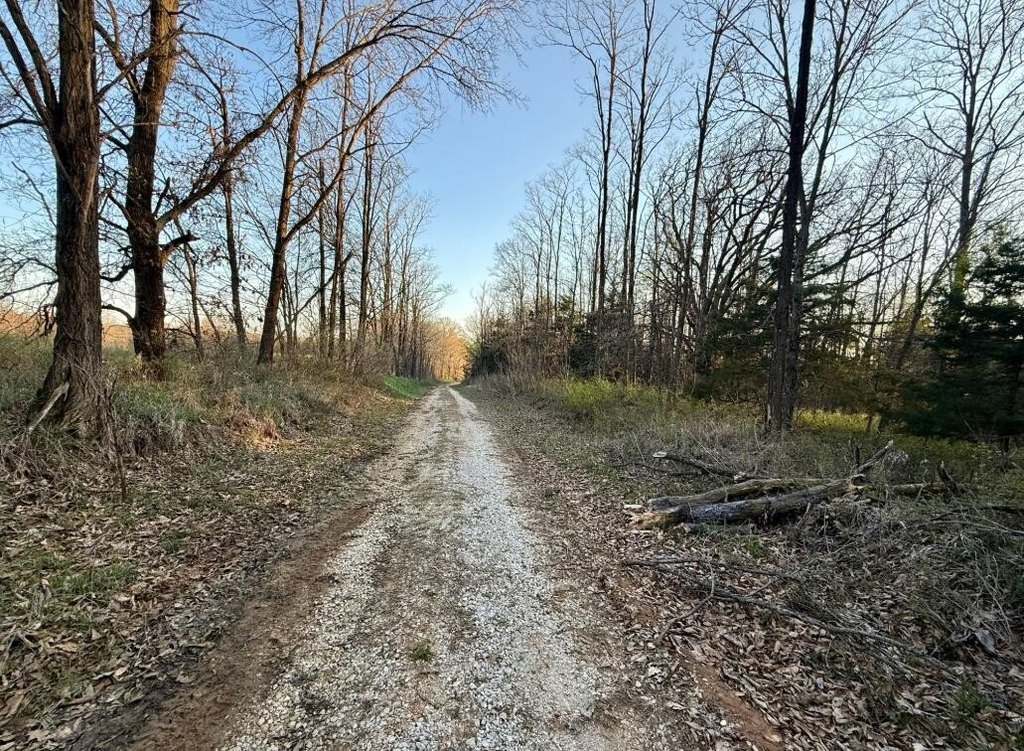
Traveling from Hwy 24 in Moberly, Mo, turn on Hwy 3 heading South, follow road down, take a right hand turn on County Road 140, CR 2035 is on the left hand side, property is at the end.
Standard status
Pending
Lot size
107.00 Acres
Listing Agency:
Macon Realty Company
(660) 395-5263
Listed By:
Joseph Cater · License #202304131
(660) 651-8866
Added: Apr 8
Changed: Sep 14
Last Checked: Oct 9 at 10:06PM
MLS# 26-170
Copyright © 2026 Randolph County Board of Realtors. All rights reserved. All information provided by the listing agent/broker is deemed reliable but is not guaranteed and should be independently verified.
Investment Insights
Based on property information with market context.
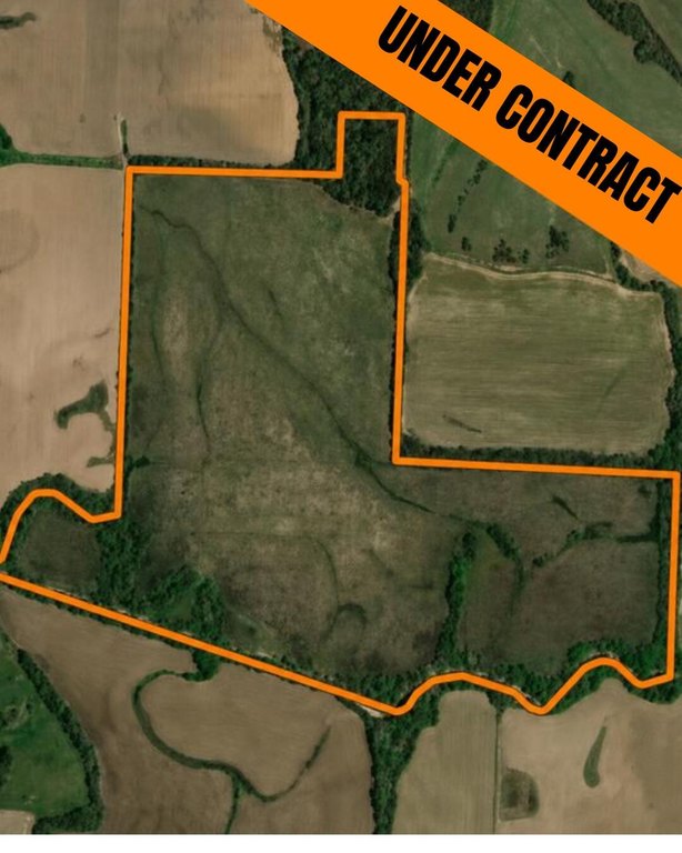
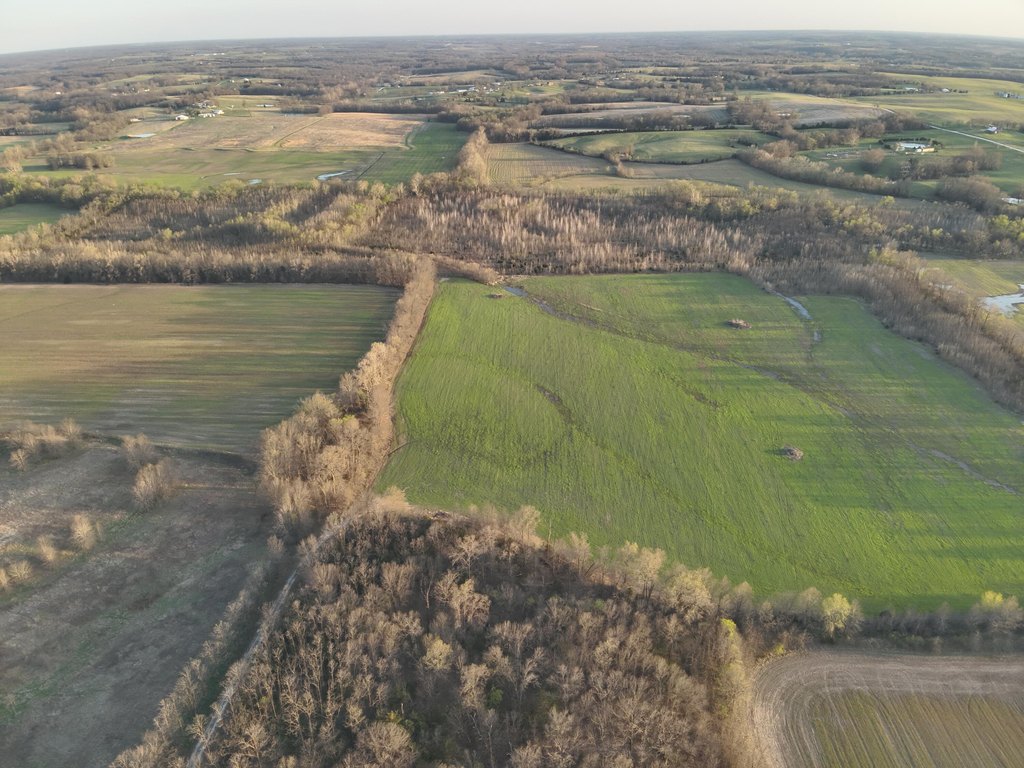
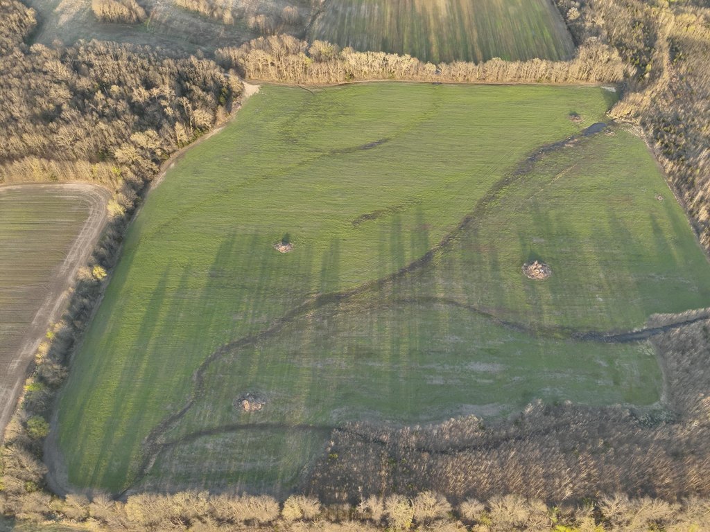
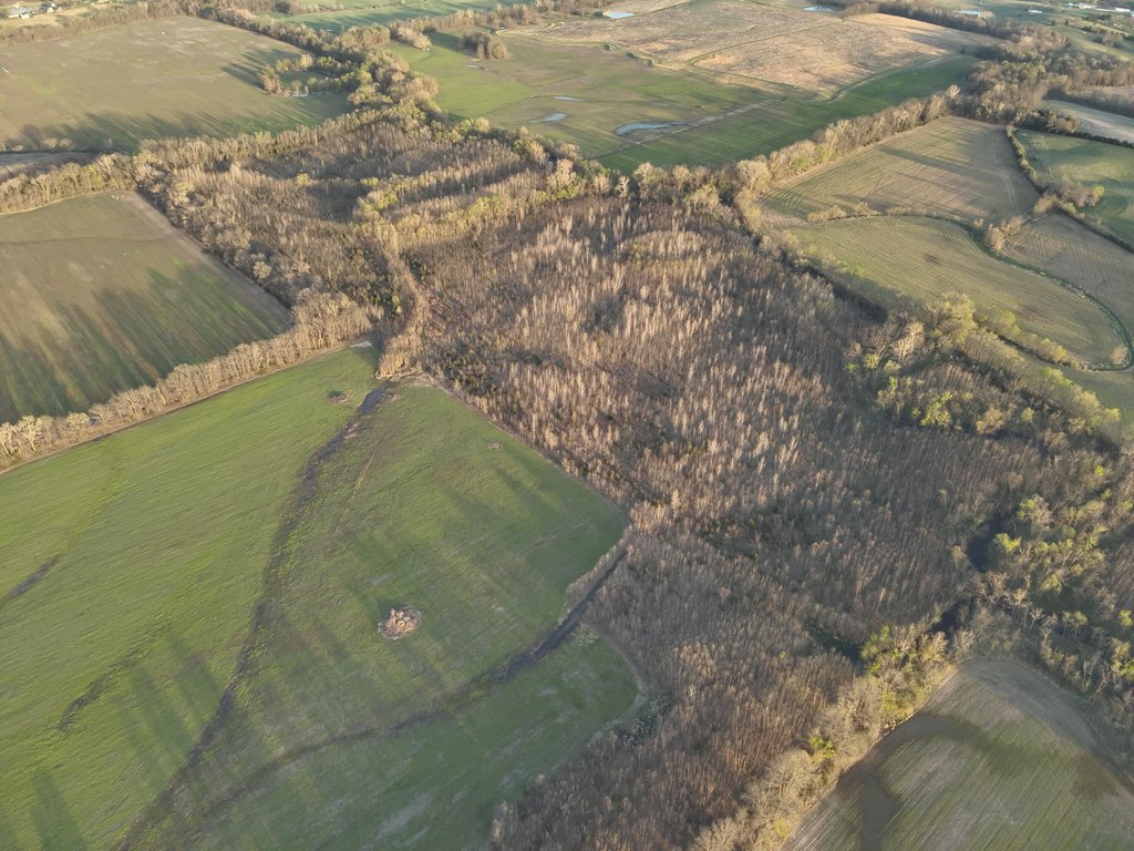
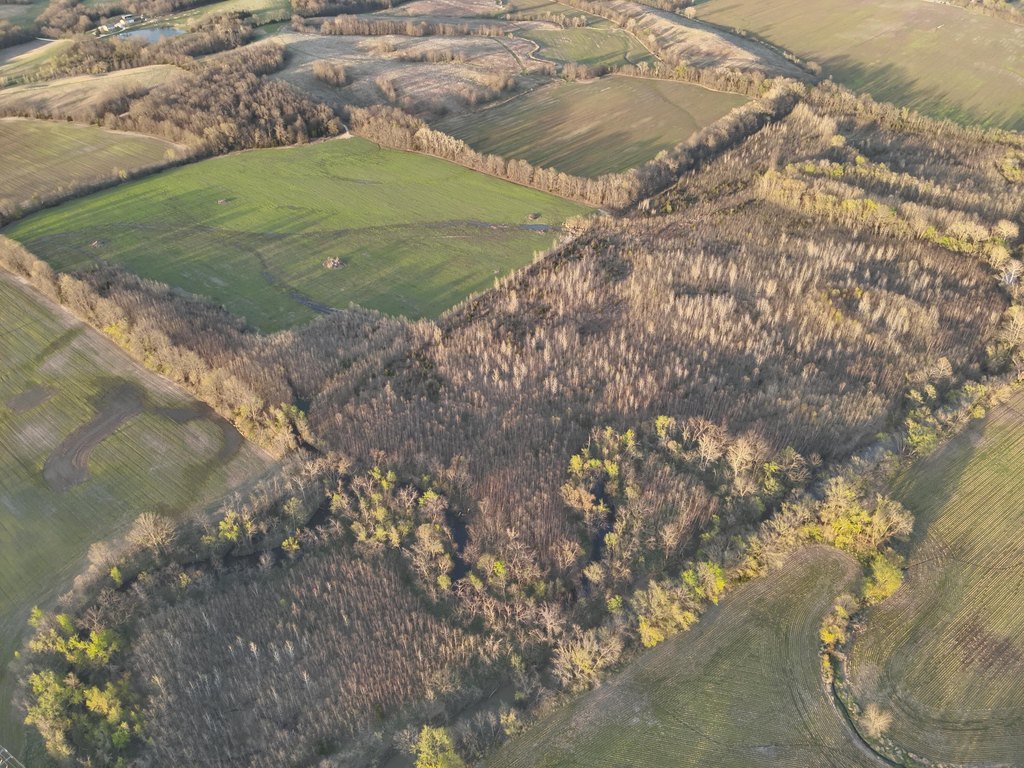
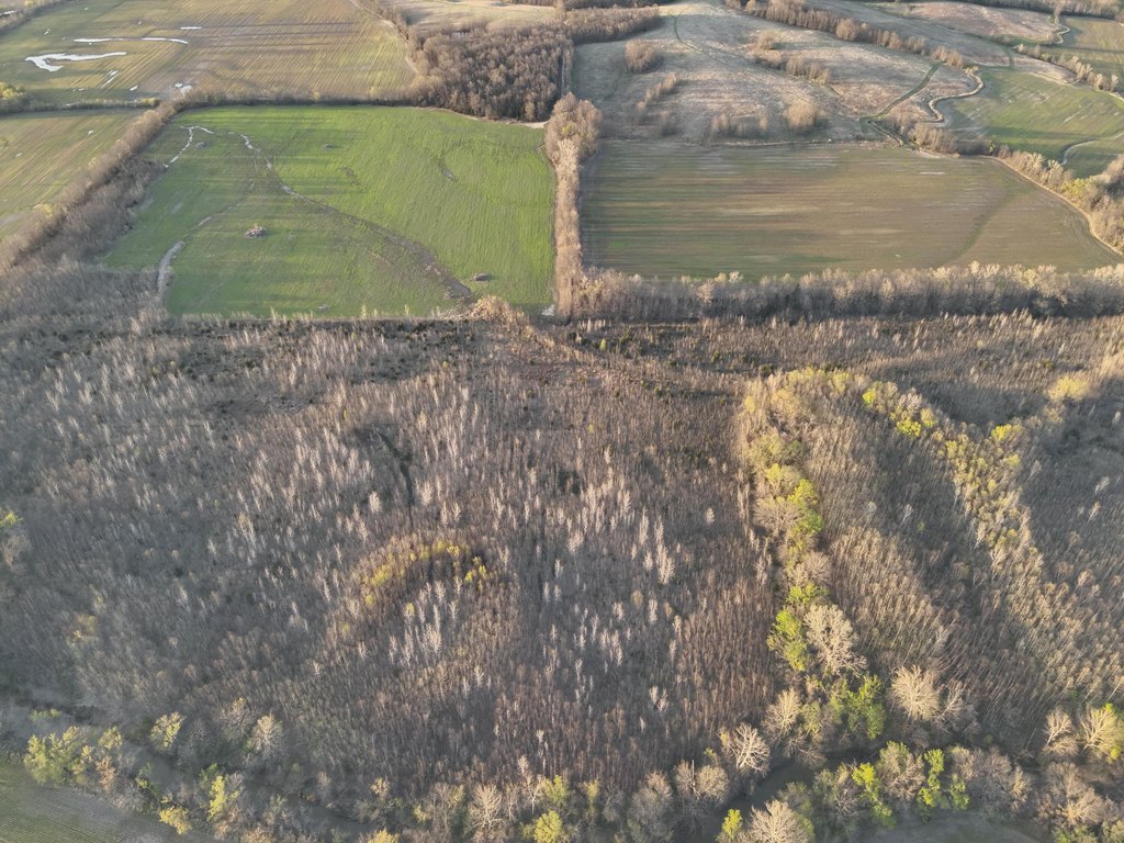
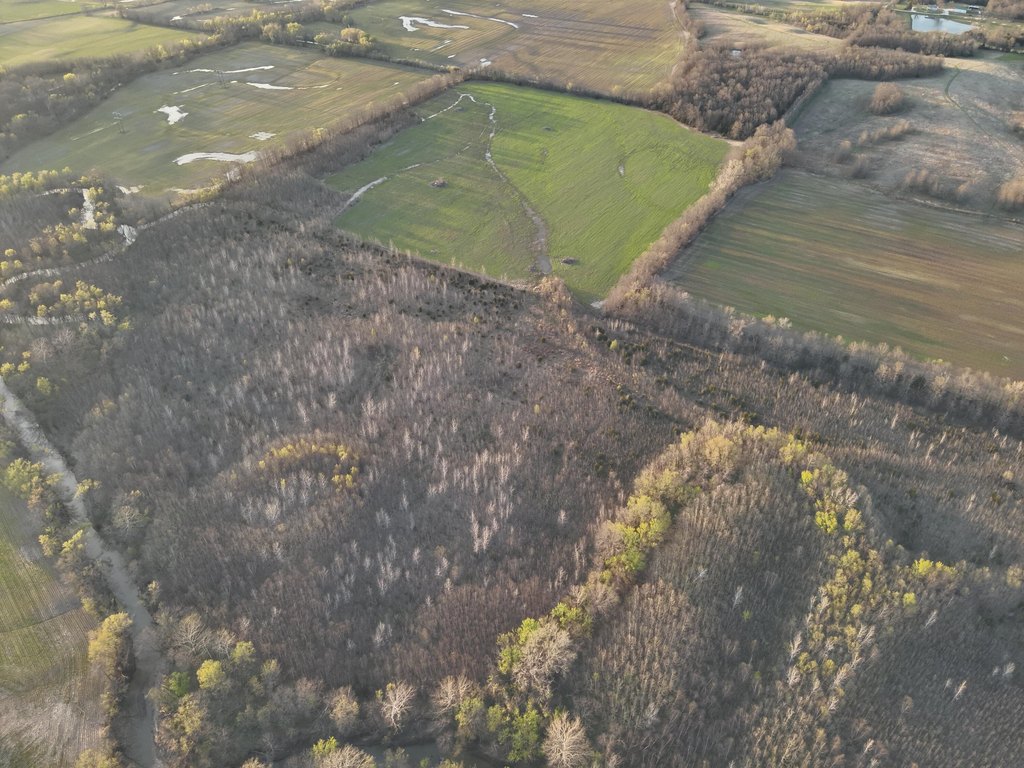
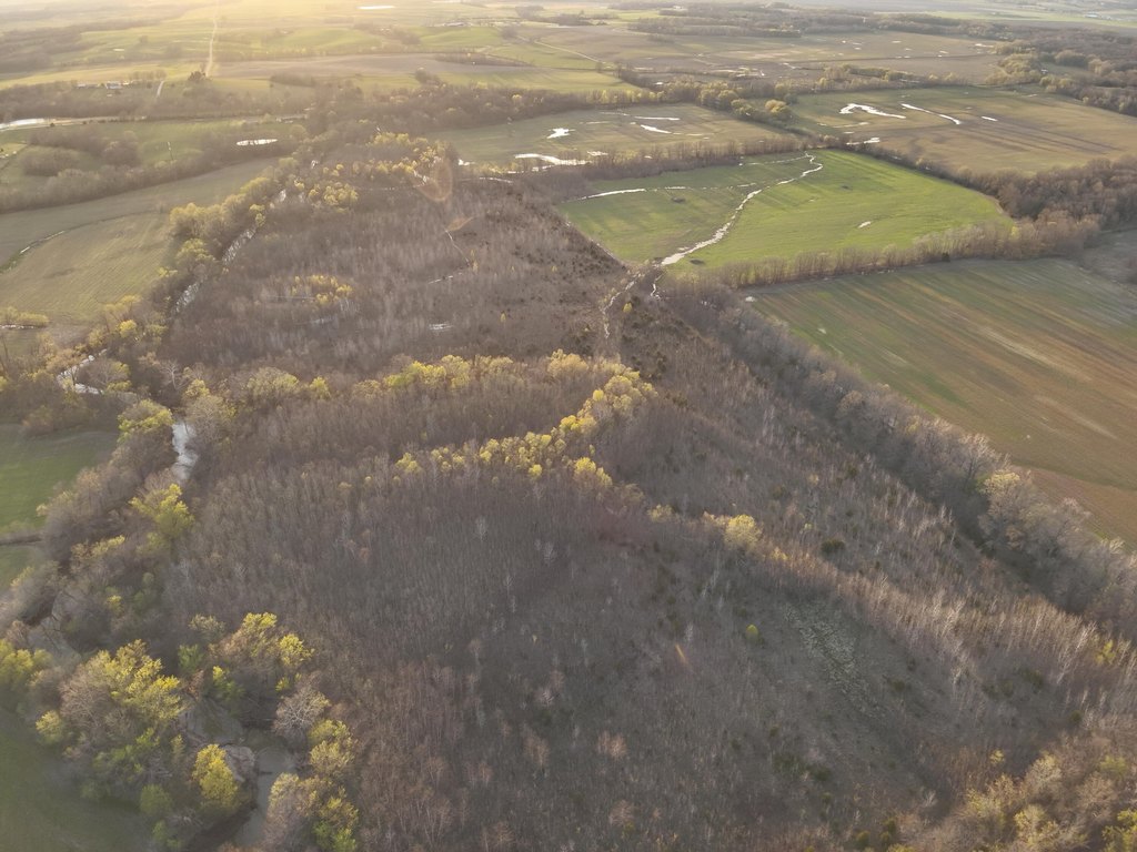
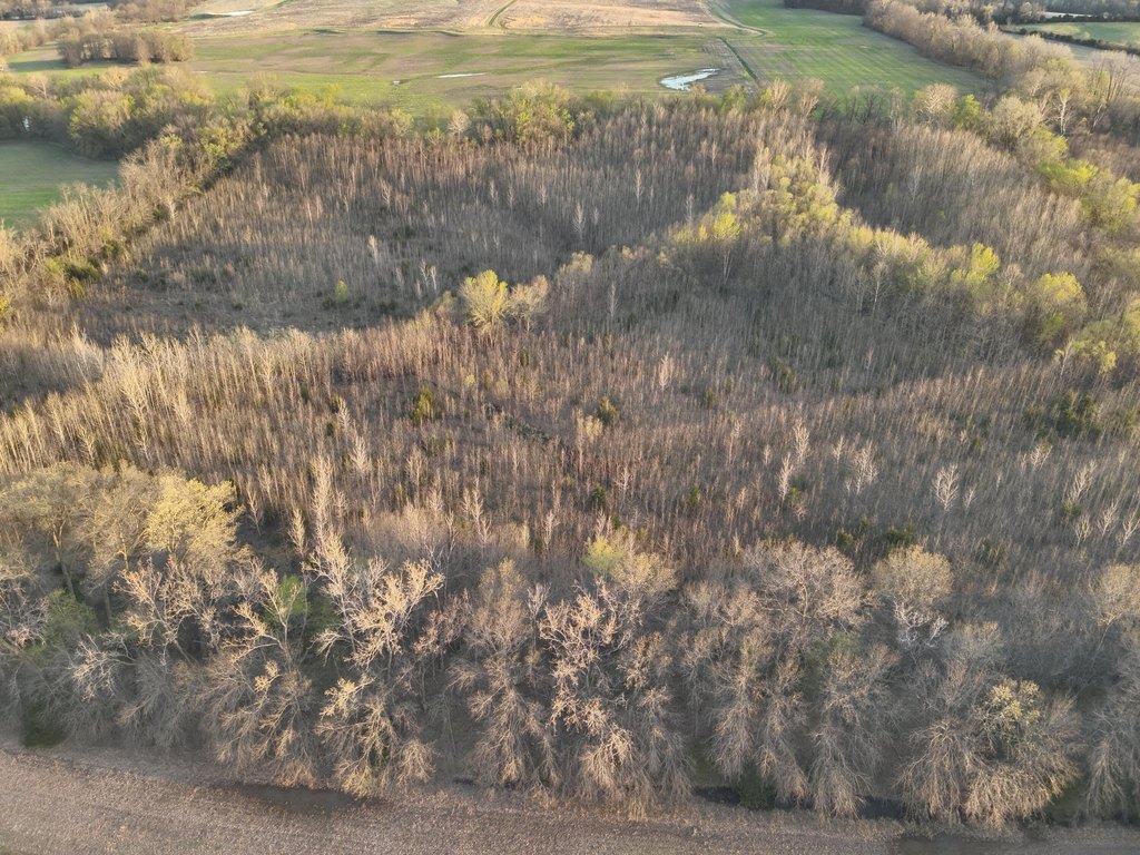
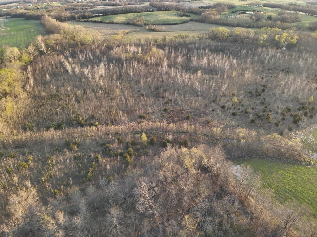
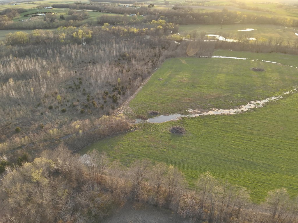
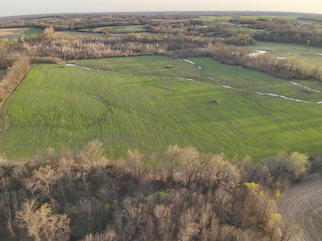
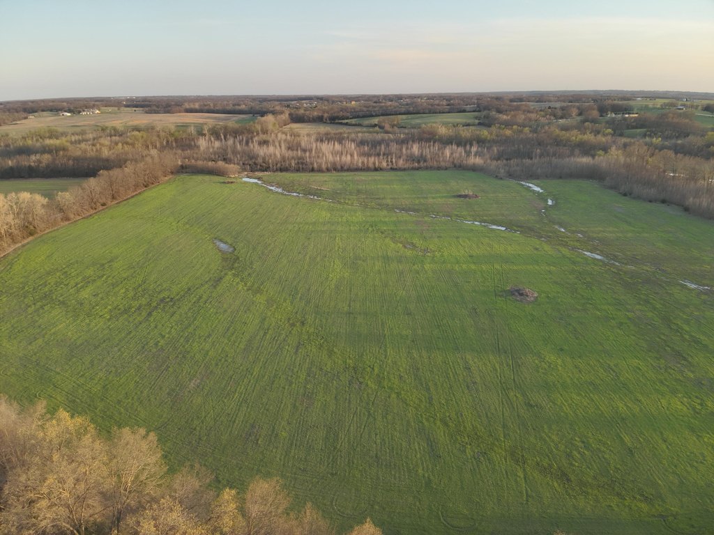
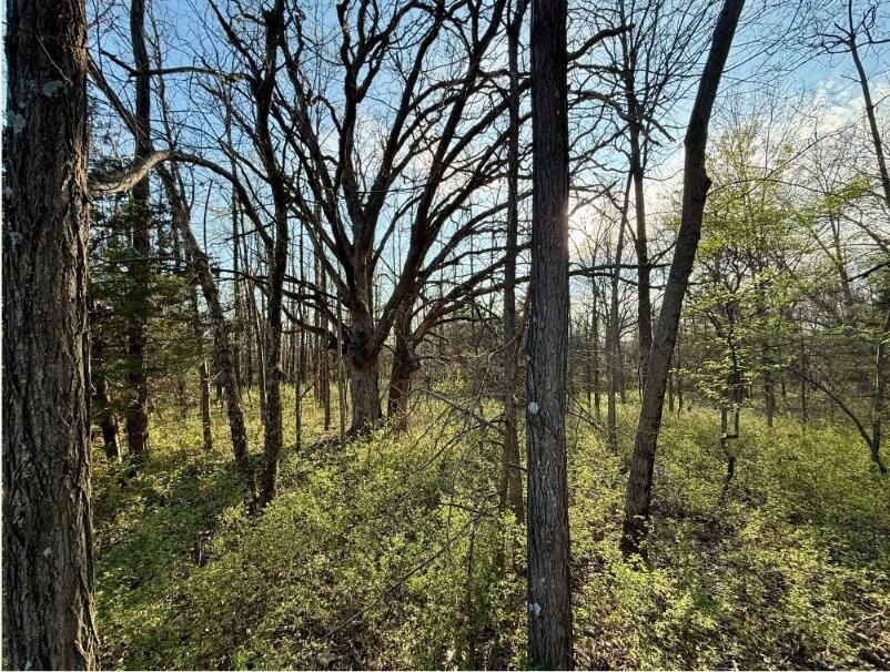
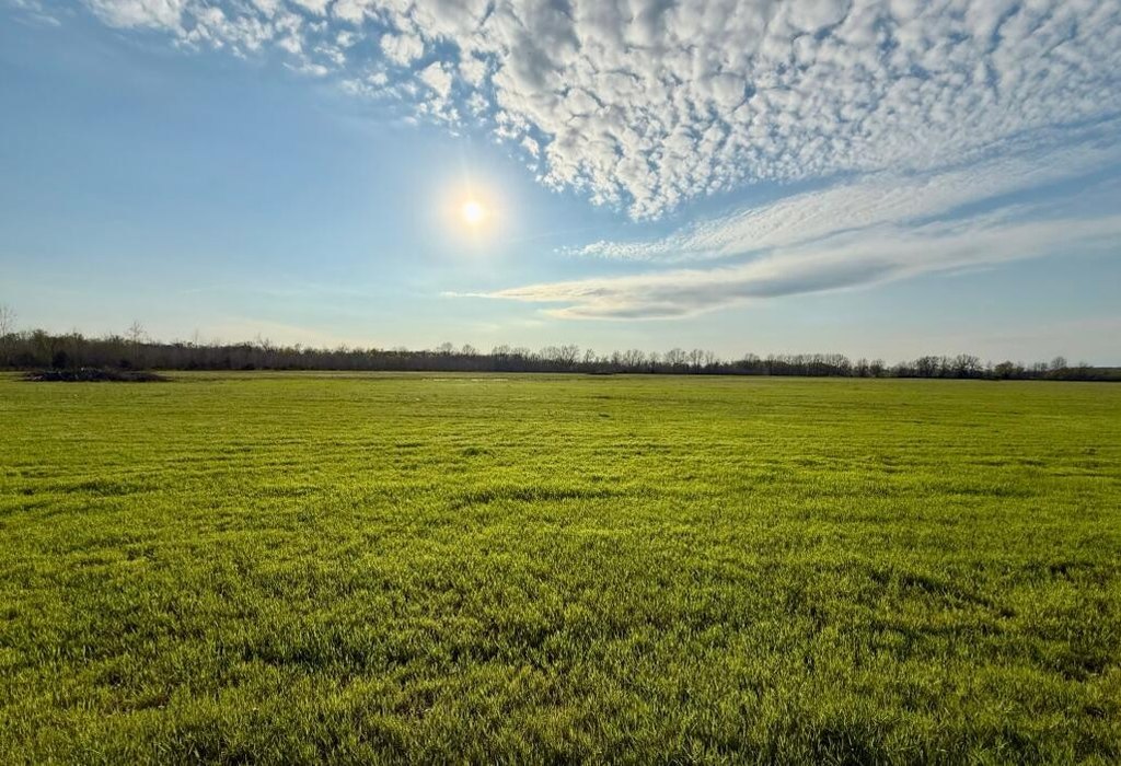
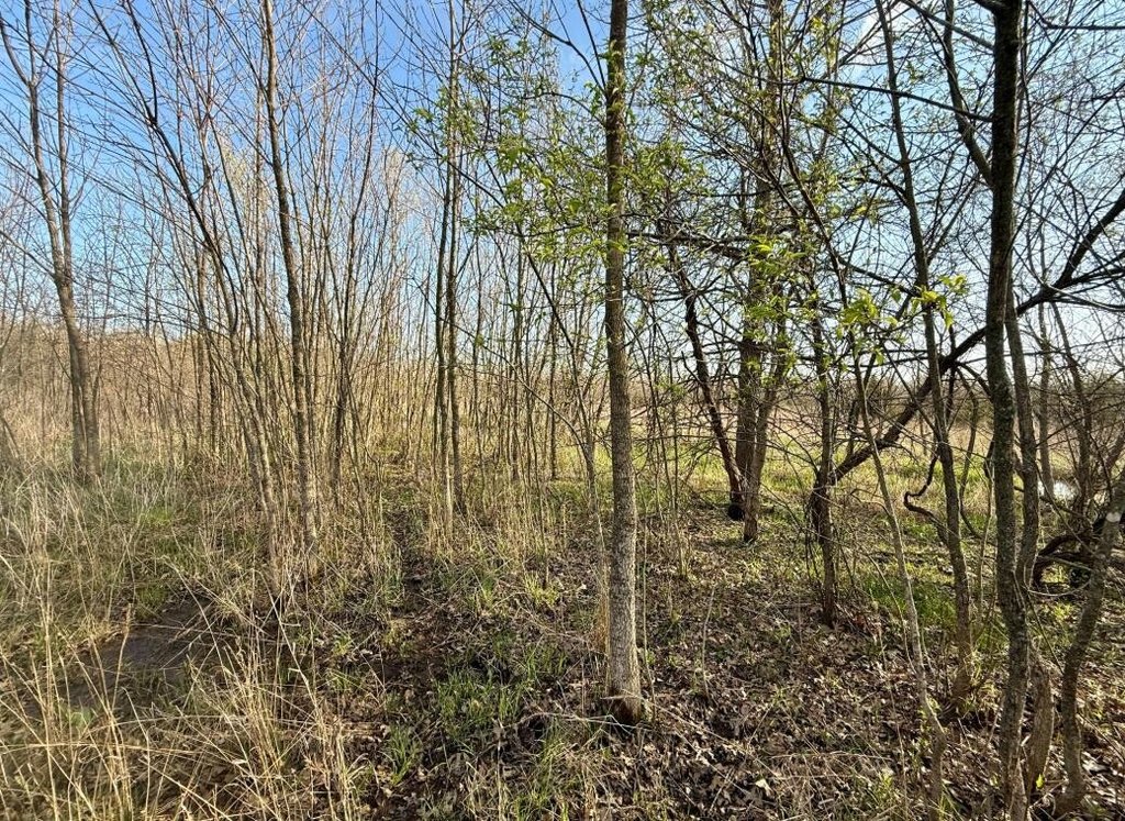
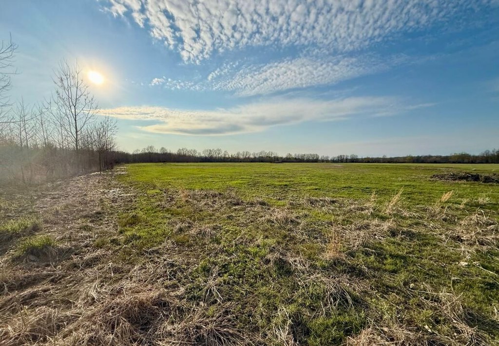
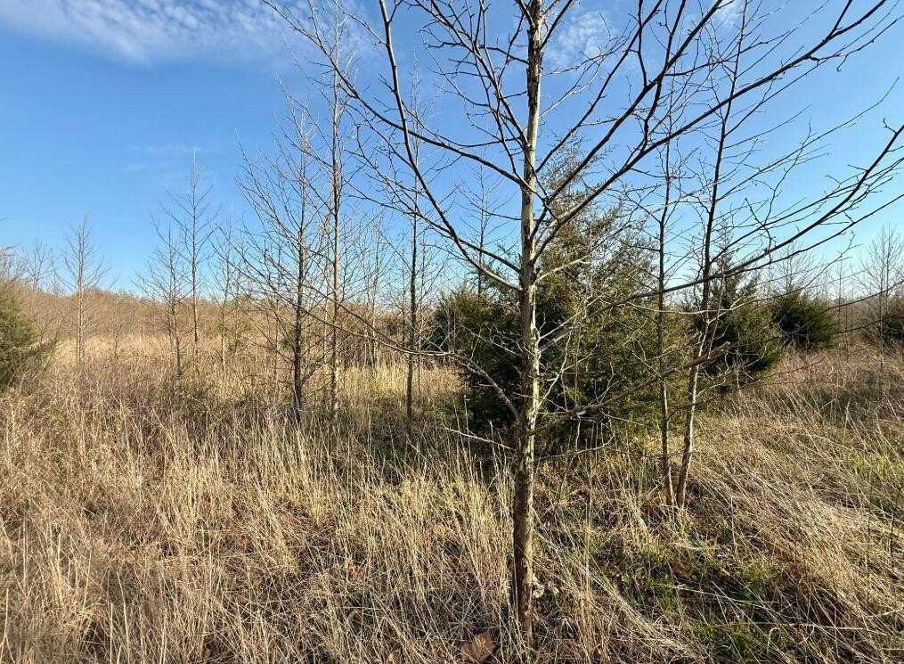
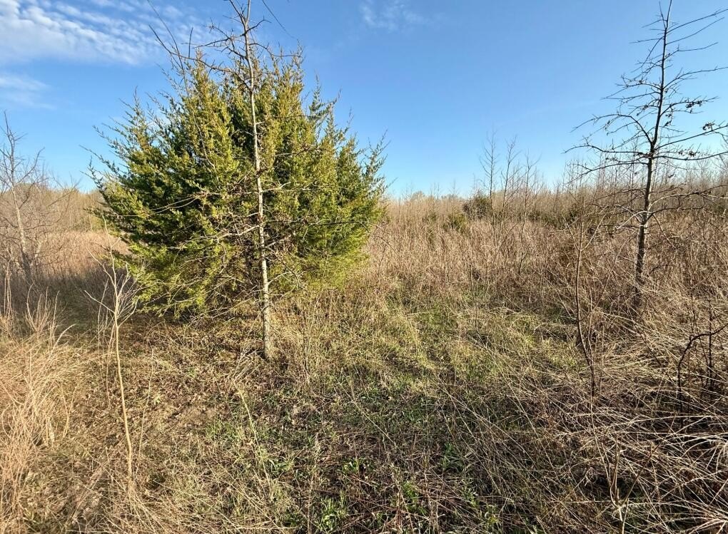
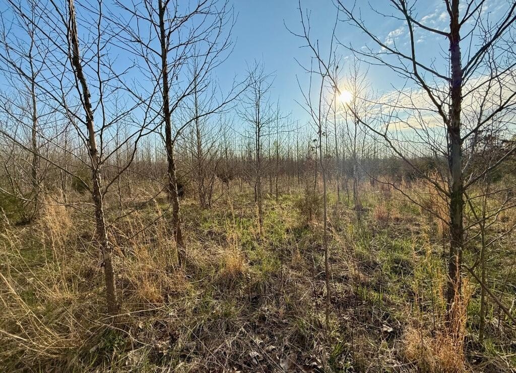
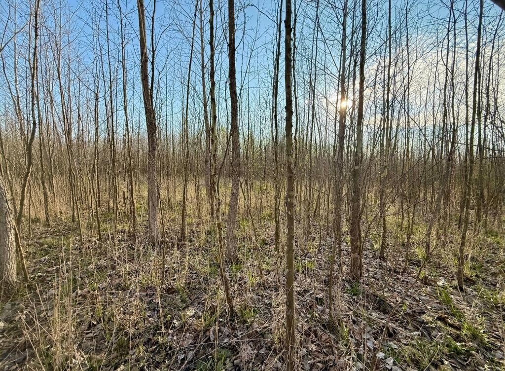
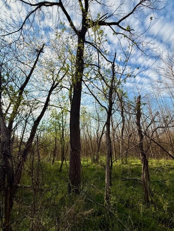
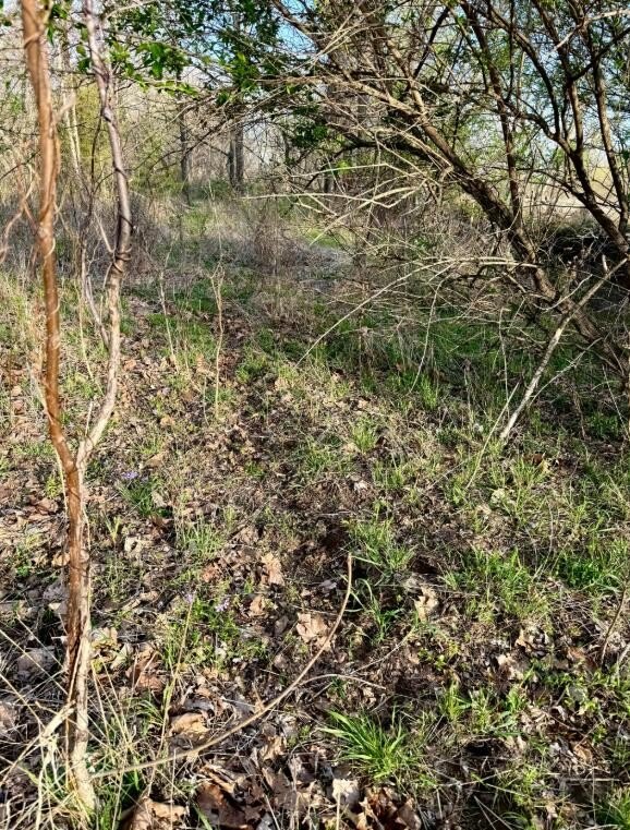
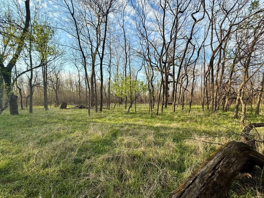
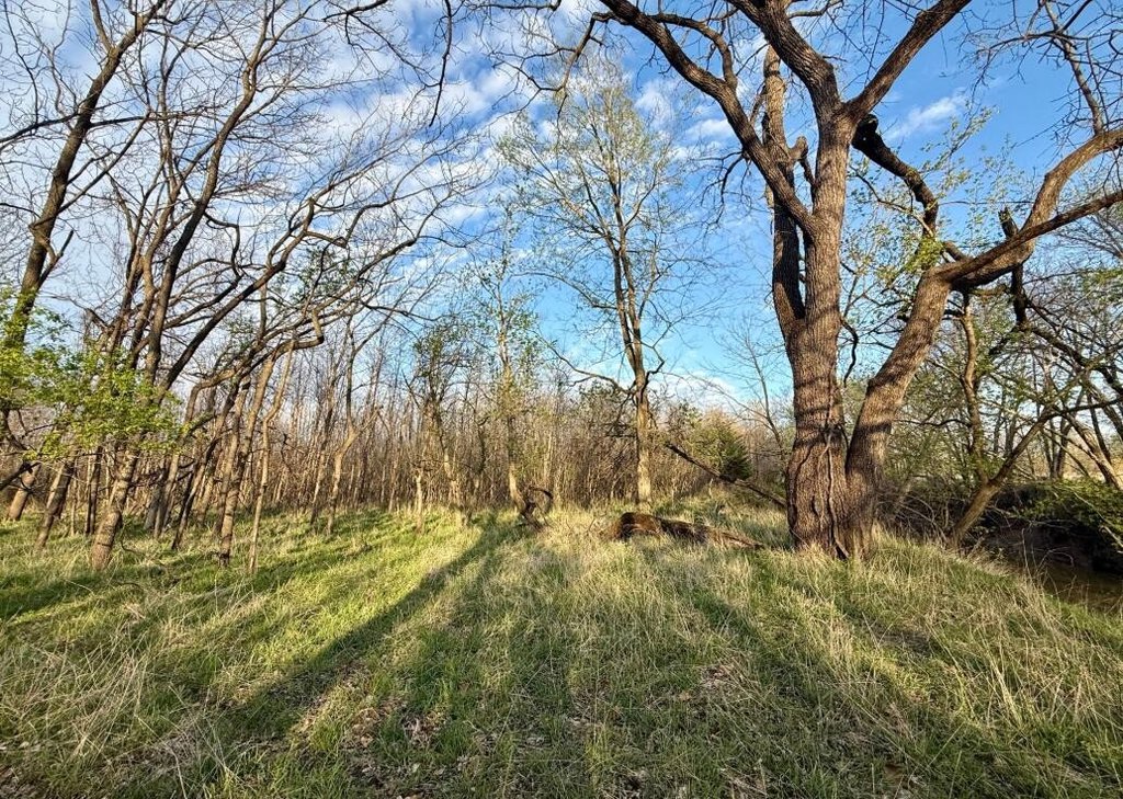
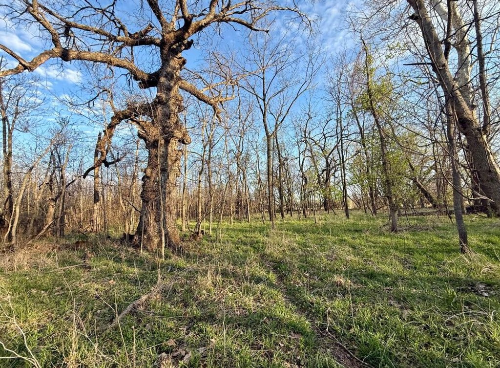
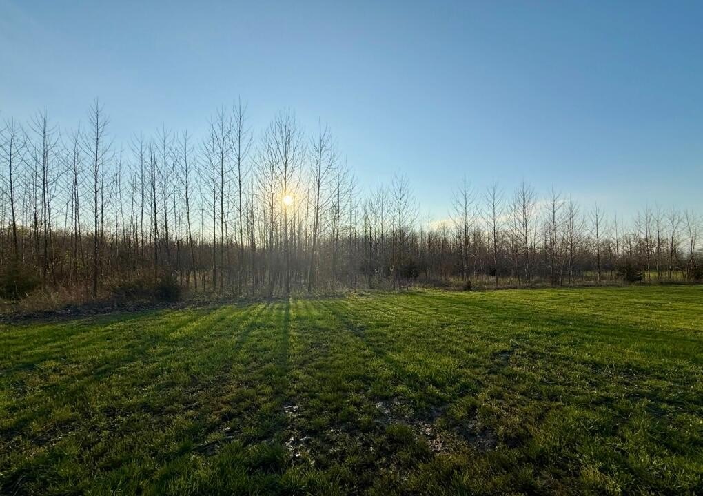
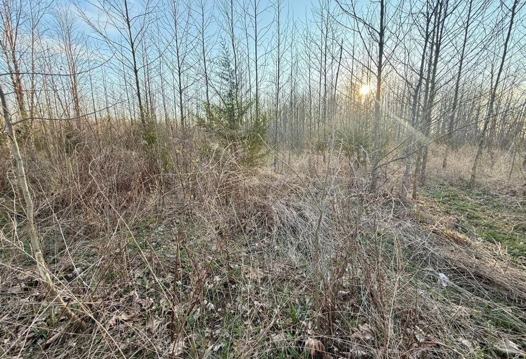
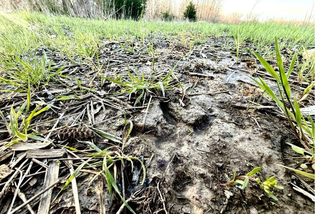
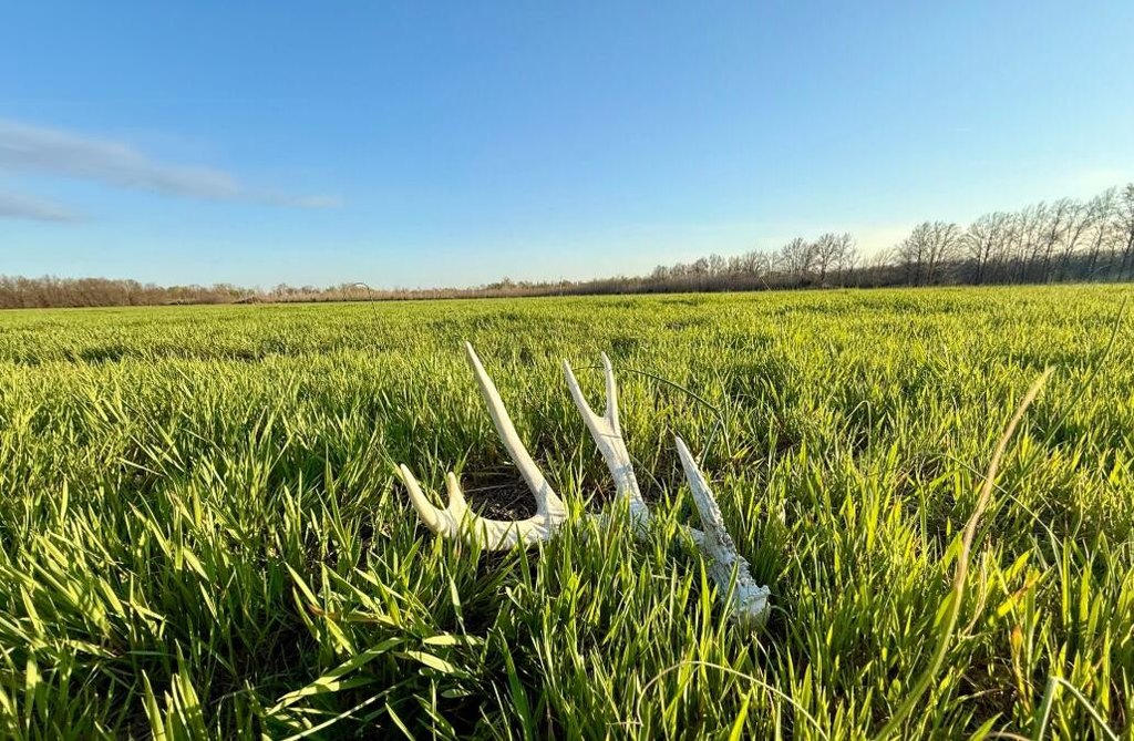
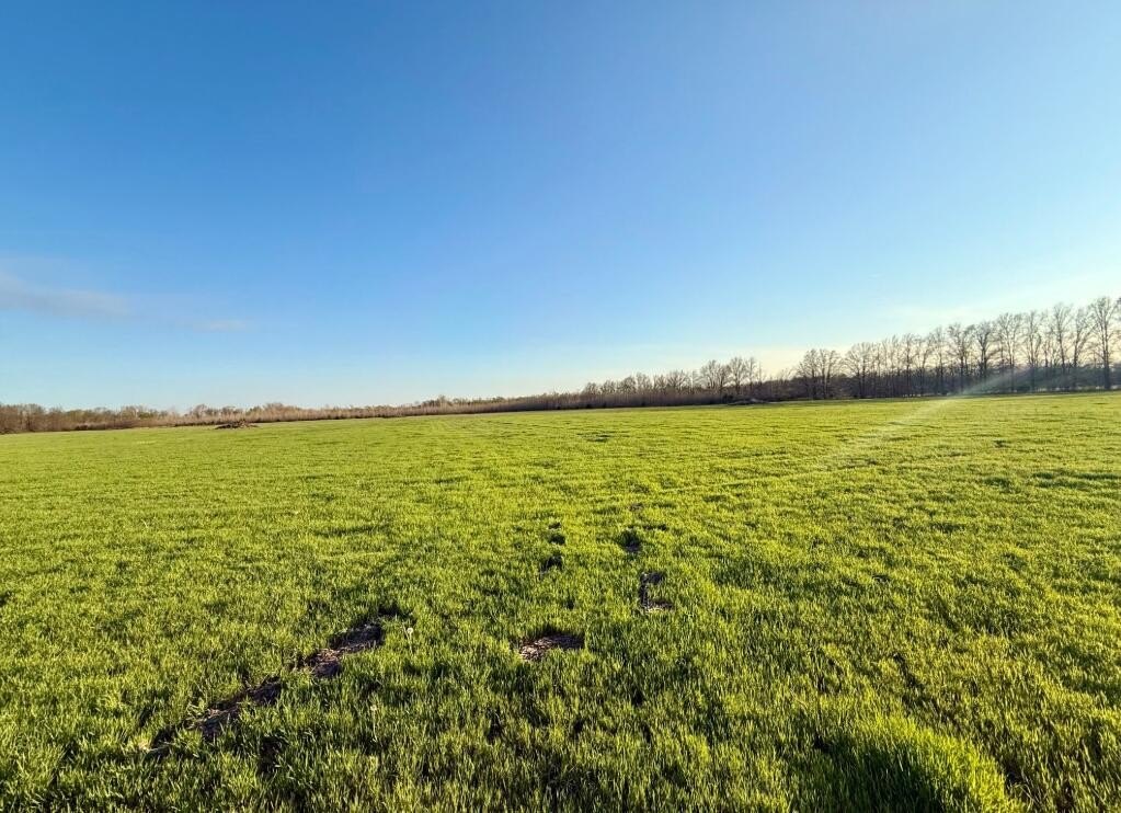
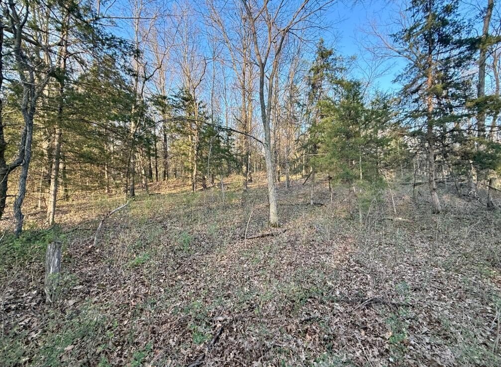
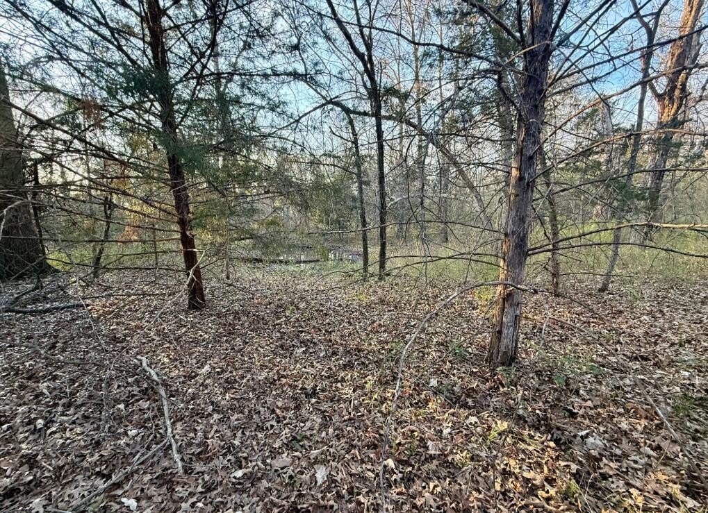
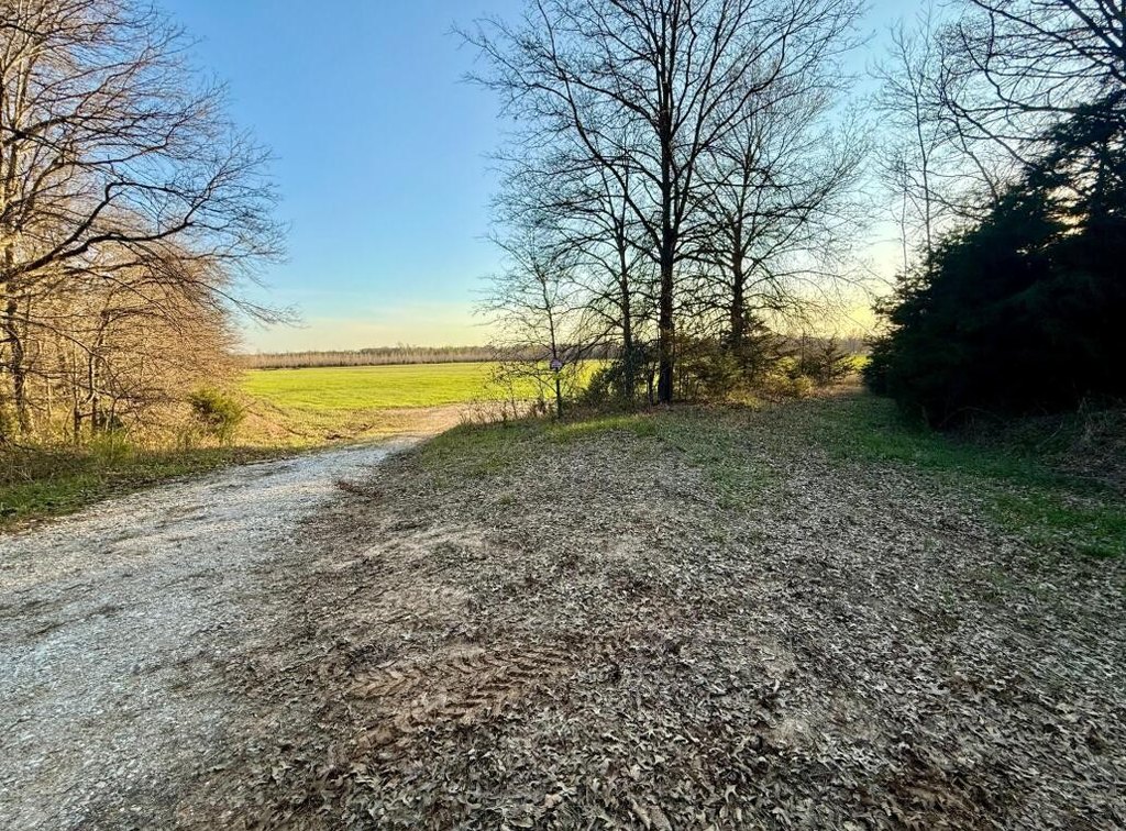
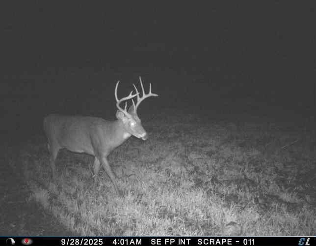
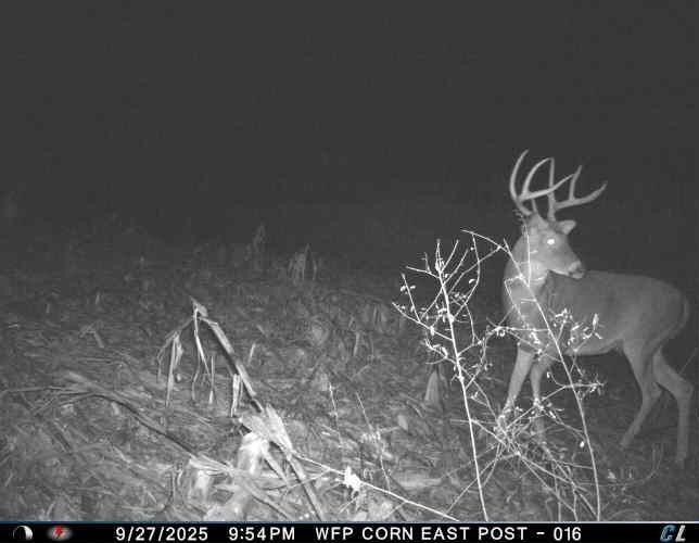
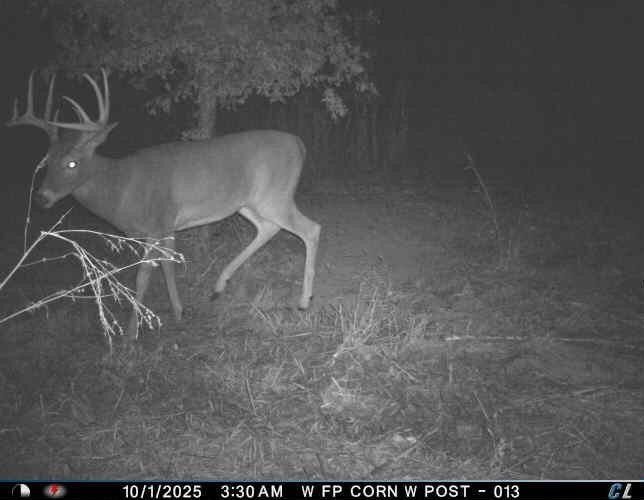
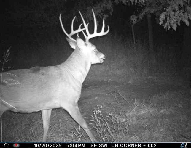
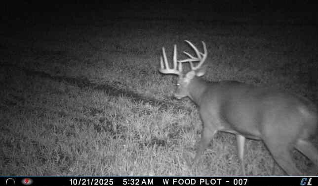
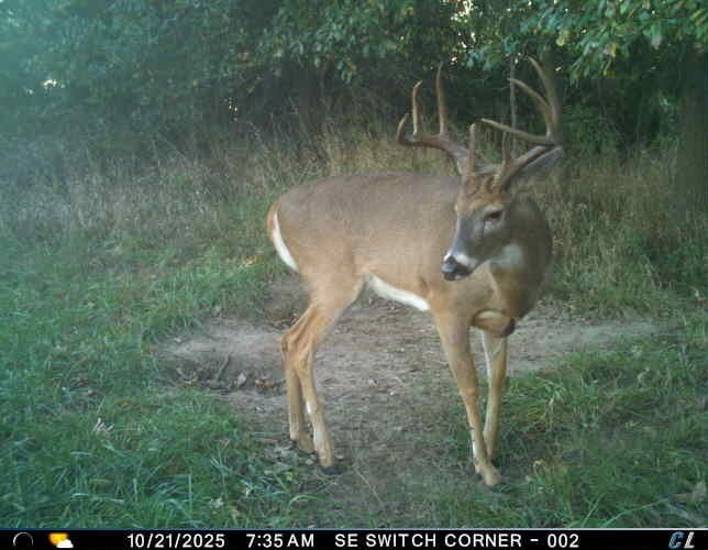
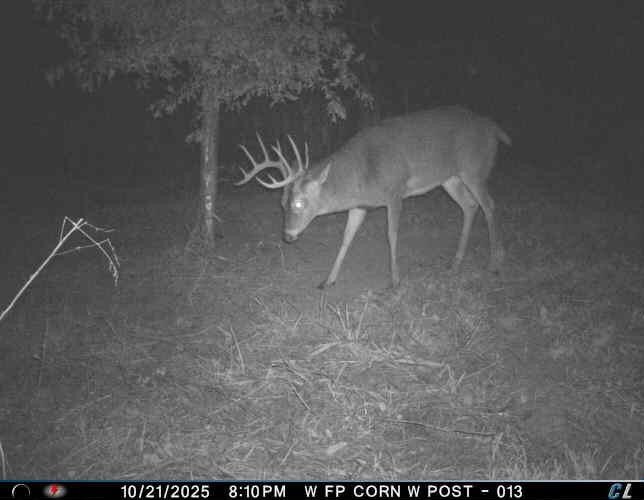
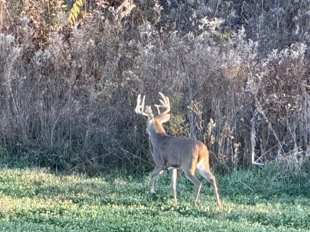
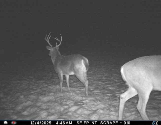
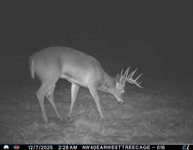
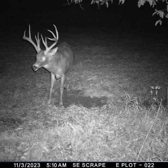
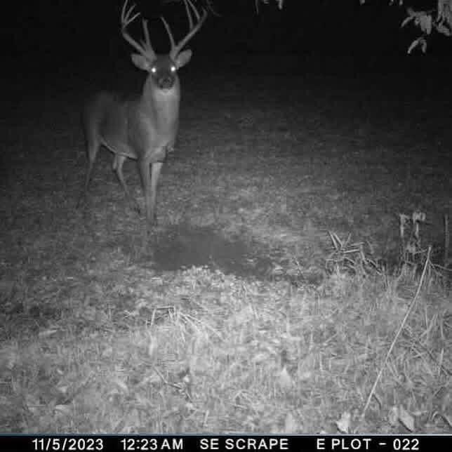
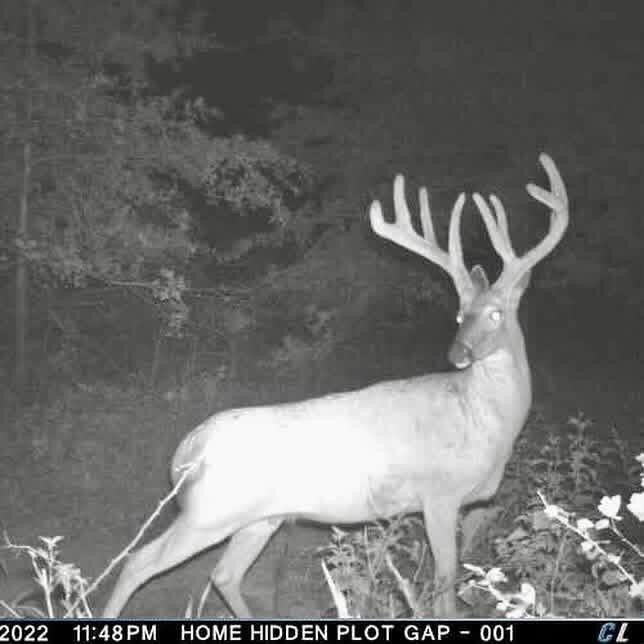
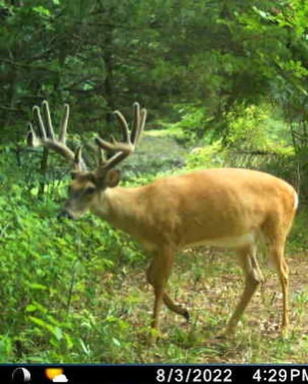
This 107-acre farm combines agricultural ground with wooded habitat and established wildlife cover. FSA records identify 89.59 East Fork Riverbottom cropland acres, including 30 acres currently in production. Other FSA acreage has remained uncultivated for several years, creating dense cover for deer and turkey while retaining the option to clear and return portions to farming. Hardwood timber occupies the balance of the property.
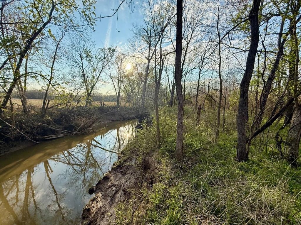
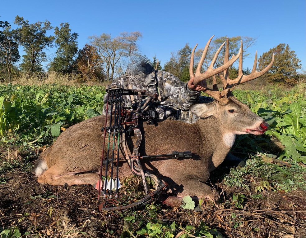
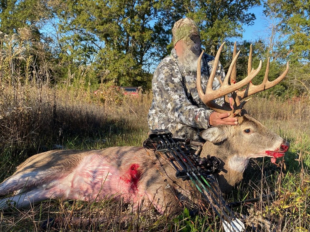
The farm lies at the end of a dead-end road in Randolph County near Clifton Hill, Missouri. Its southern boundary follows Sweet Springs Creek, a waterway used as a deer movement corridor during the rut. The creek bottom connects bedding and feeding areas, while the timber and managed habitat support hunting activity. Together, the cropland, creek frontage, timber, and cover create a diversified farm and recreational land offering.
The farm lies at the end of a dead-end road in Randolph County near Clifton Hill, Missouri. Its southern boundary follows Sweet Springs Creek, a waterway used as a deer movement corridor during the rut. The creek bottom connects bedding and feeding areas, while the timber and managed habitat support hunting activity. Together, the cropland, creek frontage, timber, and cover create a diversified farm and recreational land offering.
Key Highlights
- 107‑acre farm with cropland, hardwood timber, and wildlife habitat
- 89.59 East Fork Riverbottom cropland acres identified in FSA records
- 30 acres currently in production
Property Analytics
Current Use
Location Intelligence
Trade Area within ½ mile
2
Businesses Nearby
Explore this area
Business Placement
Demographics for 65244, MO
457
Population
271
Households
1.7
Avg Household Size
40
Median Age
6%
College-Educated
98%
High-School Grad
68.9 sq mi
ZIP Area
7
Density / Sq Mi
$63,750
Median Household Income
$38,250
Median Earnings
$162,500
Median Home Value

Questions? Ask Rey
Realmo’s AI knows this listing — price, zoning, demand, history. Ask anything.
Frequently Asked Questions
What type of property is this?
Farm - Mixed cropland, timber, and wildlife habitat extend to Sweet Springs Creek.
Where is this farm located?
The property is located at County Road 2035 Clifton Hill, MO.
What is the asking price?
The asking price for this property is $529,650.
What are key features of this property?
This property features: 107‑acre farm with cropland, hardwood timber, and wildlife habitat; 89.59 East Fork Riverbottom cropland acres identified in FSA records; 30 acres currently in production


