Agricultural Land with Water
County Road 119 Westcliffe, CO 81252
For Sale
$1,475,000
LAND - Westcliffe, CO
Lot Size80.00 Acres
Days on Market143
Property Features for County Road 119
General Information
Property type
Land
Property subtype
Other
Standard status
Active
Lot size
80.00 Acres
Taxes and HOA fees
Tax Year
2025
Tax Annual Amount
586
Listing Agency:
Exp Realty LLC
(888) 440-2724
Listed By:
Machelle Williams · License #FA.100095076
(303) 882-1191
Added: Mar 8
Changed: Jul 22
Last Checked: Jul 29 at 6:06AM
MLS# 4416777
Copyright © 2026 elevateMLS. All rights reserved. All information provided by the listing agent/broker is deemed reliable but is not guaranteed and should be independently verified.
Investment Insights
Based on property information with market context.
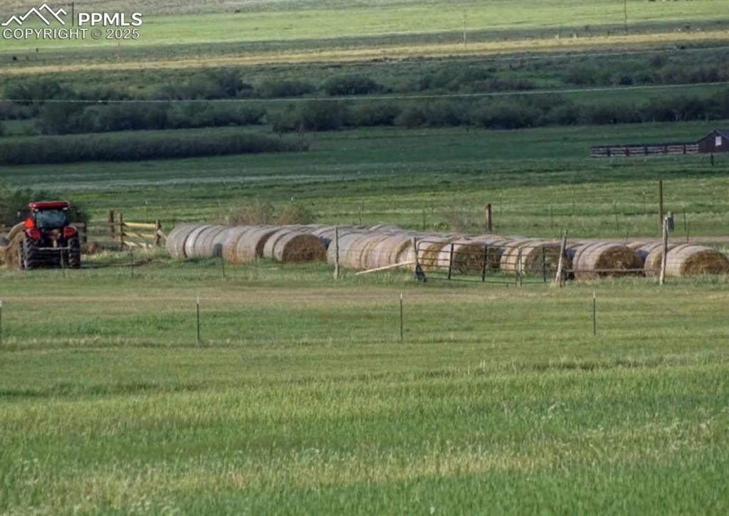
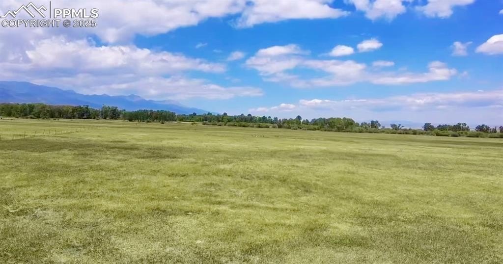
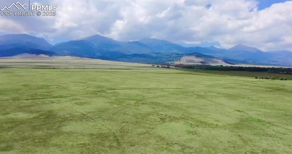
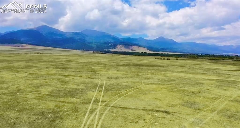
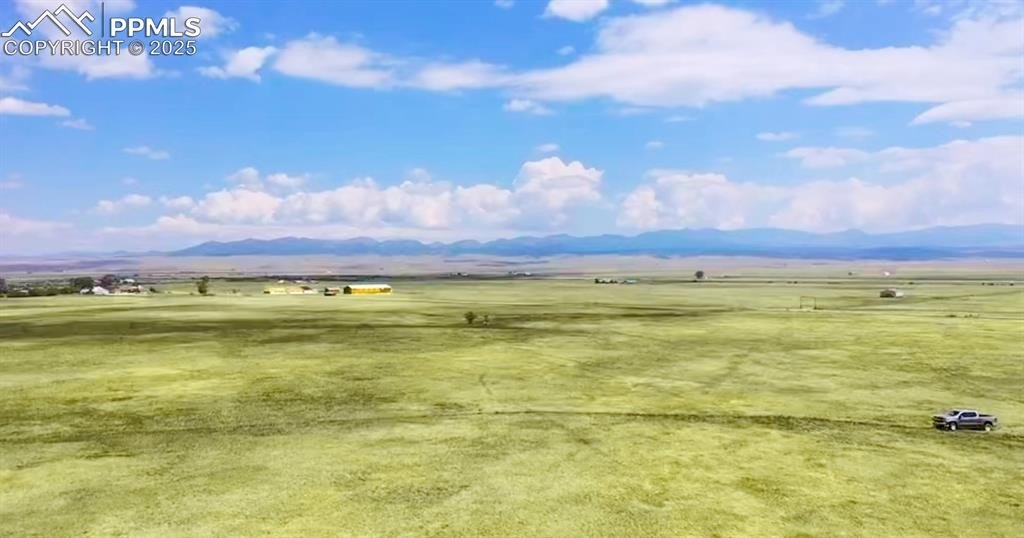
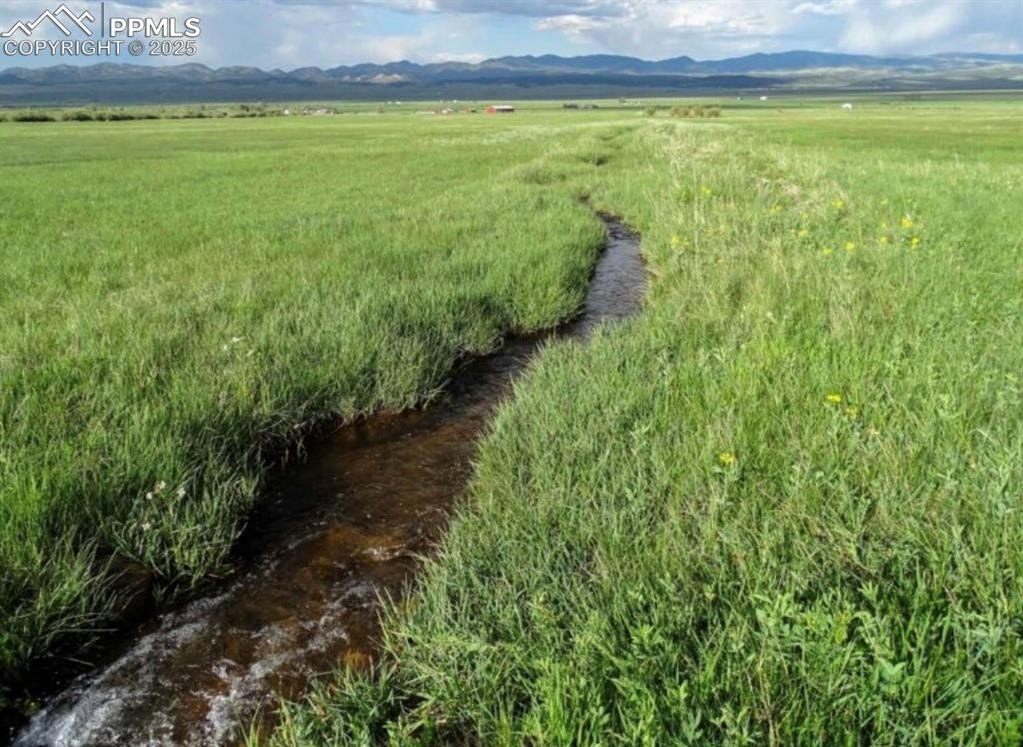
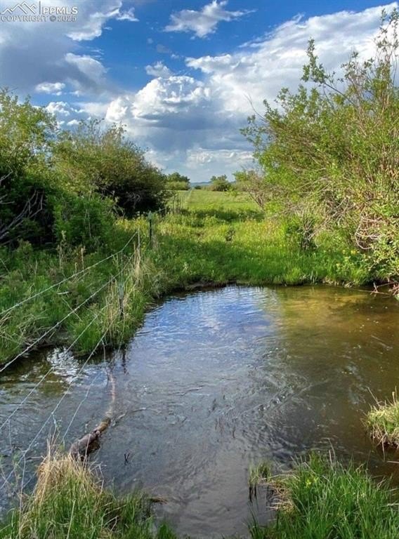
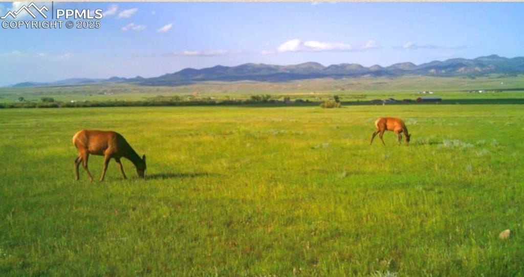
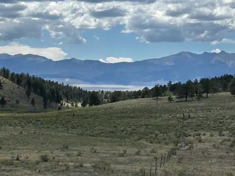
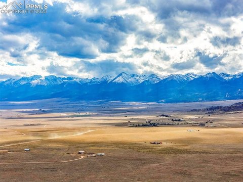
This agricultural land offering totals 160 acres and is currently fallow, laid out as two separate 80-acre legal parcels. The property is described as largely level on the valley floor, with commanding views of the Sangre de Cristo Mountains. Water rights are a key component, with senior and junior water rights identified from the Hartbauer 1, 6, 7, 8, and Miller ditches.
The land is located on County Road 119 in Westcliffe, Colorado (Custer County). Public remarks indicate electricity is nearby and access is straightforward. The setting is minutes from the mountains and positioned for seasonal views.
Local land-use regulations noted in the remarks require a minimum of 80 acres per parcel, supporting the ability to purchase the full 160 acres or select a single tract aligned with that 80-acre configuration.
Key Highlights
- 160 acres in the Wet Mountain Valley with fertile, valley‑floor ground described as perfectly level
- Both senior and junior water rights from the Hartbauer 1, 6, 7, 8 and Miller ditches
- Land is configured as two separate 80‑acre legal parcels for flexible purchasing options
Property Analytics
Property Profile
Location Intelligence
Current Use


Frequently Asked Questions
What type of property is this?
Agricultural land / Farmland - 160 acres of level, fallow ground offered as two 80-acre legal parcels with senior and junior water rights.
Where is this agricultural land / farmland located?
The property is located at County Road 119 Westcliffe, CO.
What is the asking price?
The asking price for this property is $1,475,000.
What are key features of this property?
This property features: 160 acres in the Wet Mountain Valley with fertile, valley‑floor ground described as perfectly level; Both senior and junior water rights from the Hartbauer 1, 6, 7, 8 and Miller ditches; Land is configured as two separate 80‑acre legal parcels for flexible purchasing options


