Two-Tract Farmland
New
For Sale
Contact for pricing
County Highway B63, Mallard, IA 50562
Land, IA
Property SizeContact for details
Lot Size160.00 Acres
Days on Market1
Property Features for County Highway B63
General Information
Property type
Land
Property subtype
Other
Zoning
Ag
Directions
Visit our website for directions to individual tracts.
Subdivision
Mallard
Standard status
Active
APN
070027001010
Lot size
160.00 Acres
Taxes and HOA fees
Tax Description
See individual tracts for legal description.
Tax Annual Amount
4934
Legal Description
See individual tracts for legal description.
Listing Agency:
Peoples Company
(515) 222-1347
Listed By:
Daran Becker · License #S60473000
(515) 979-3498
Added: Oct 2
Last Checked: Oct 2 at 10:06PM
MLS# 750467
Copyright © 2026 Des Moines Area Association of REALTORS®, Inc. All rights reserved. All information provided by the listing agent/broker is deemed reliable but is not guaranteed and should be independently verified.
Investment Insights
Based on property information with market context.
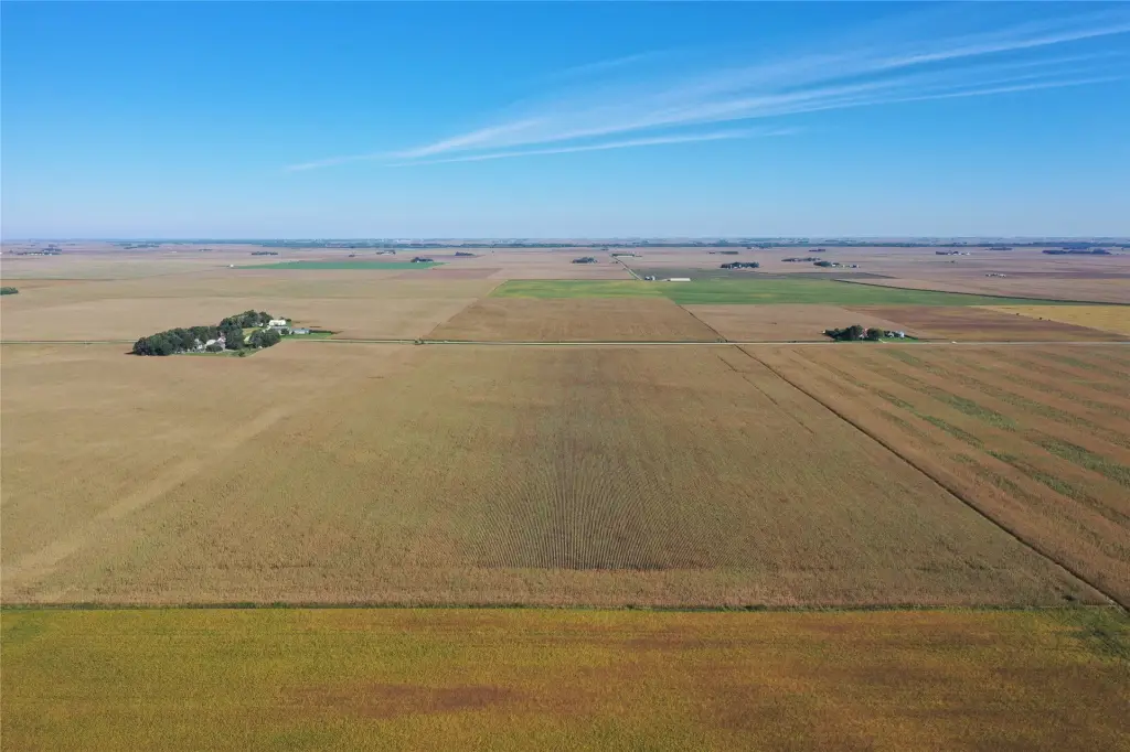
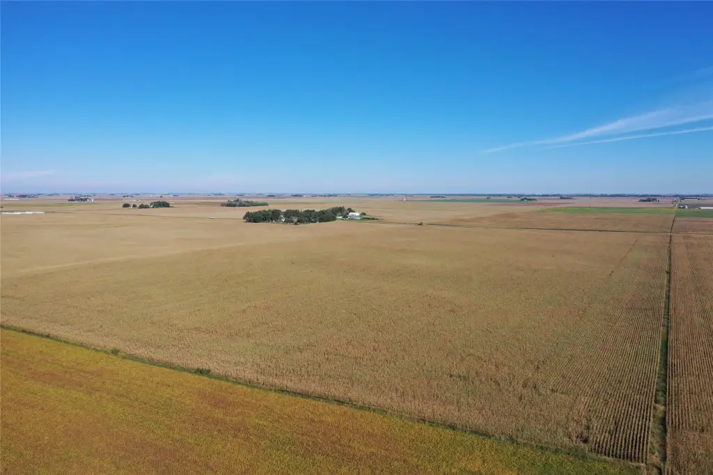
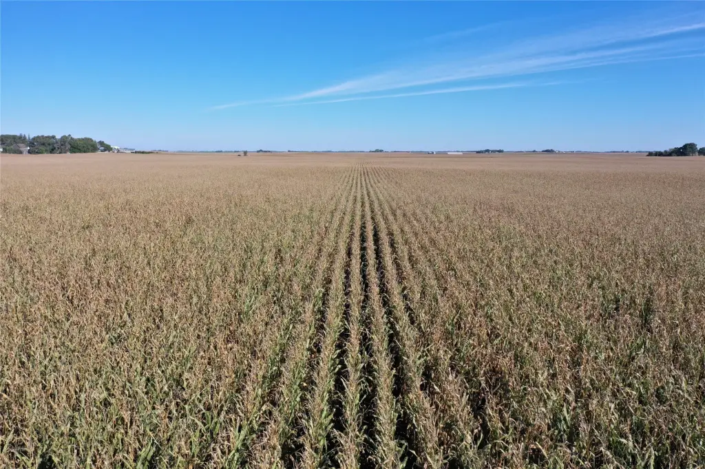
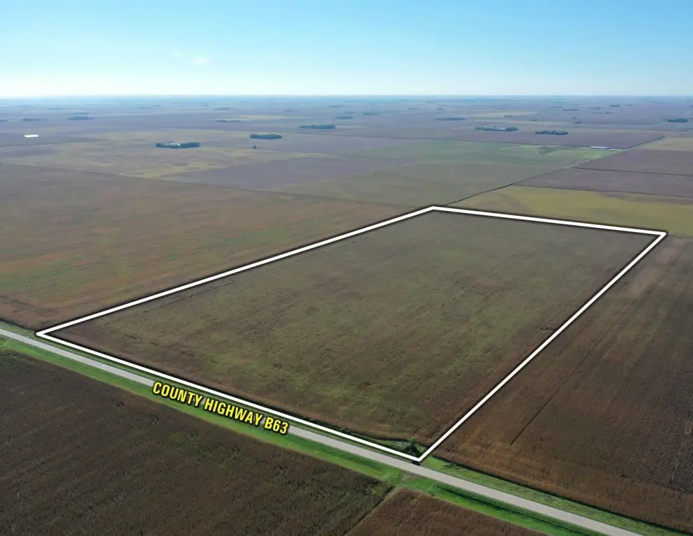
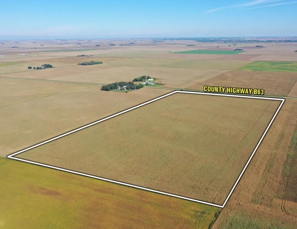
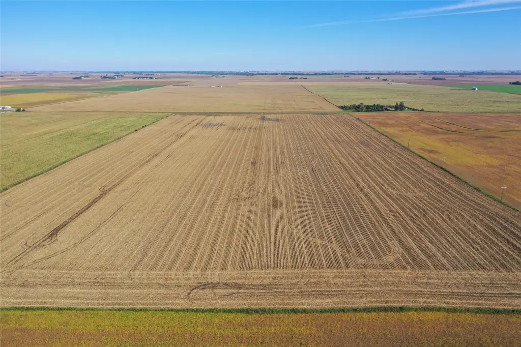
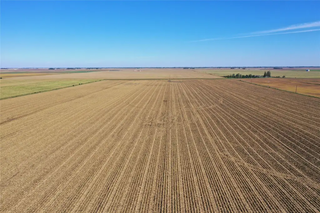
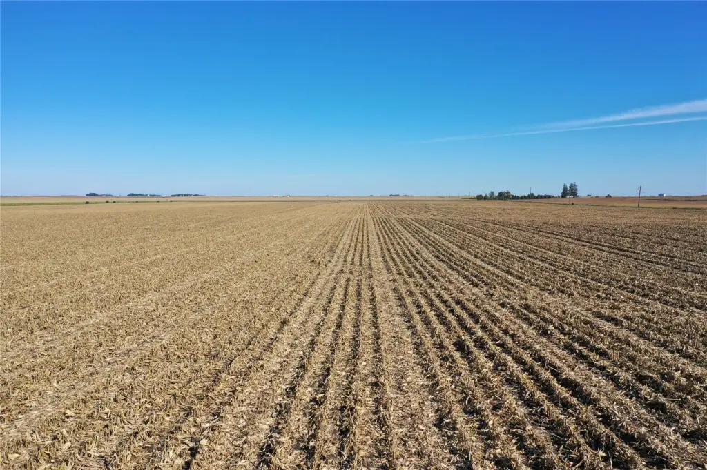
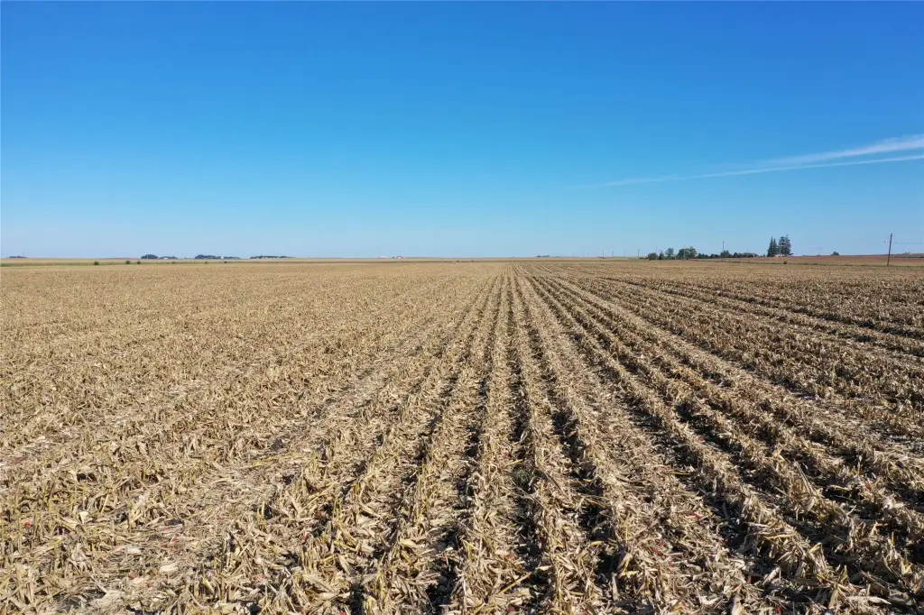
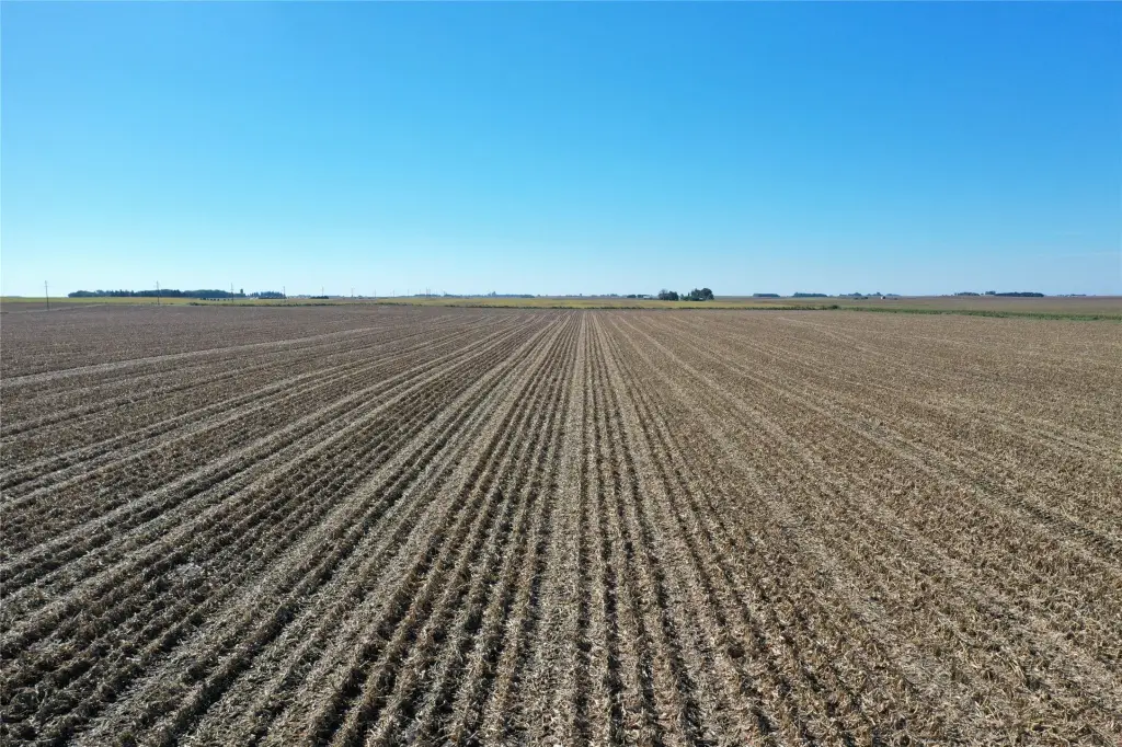
This 160-acre farmland offering in Palo Alto County comprises two tracts of approximately 80 acres each. Combined, they include 156.64 FSA cropland acres. Tract 1 has 77.78 FSA cropland acres and a CSR2 value of 84.4; Tract 2 has 78.86 FSA cropland acres and a CSR2 value of 78.0. The property is zoned Ag.
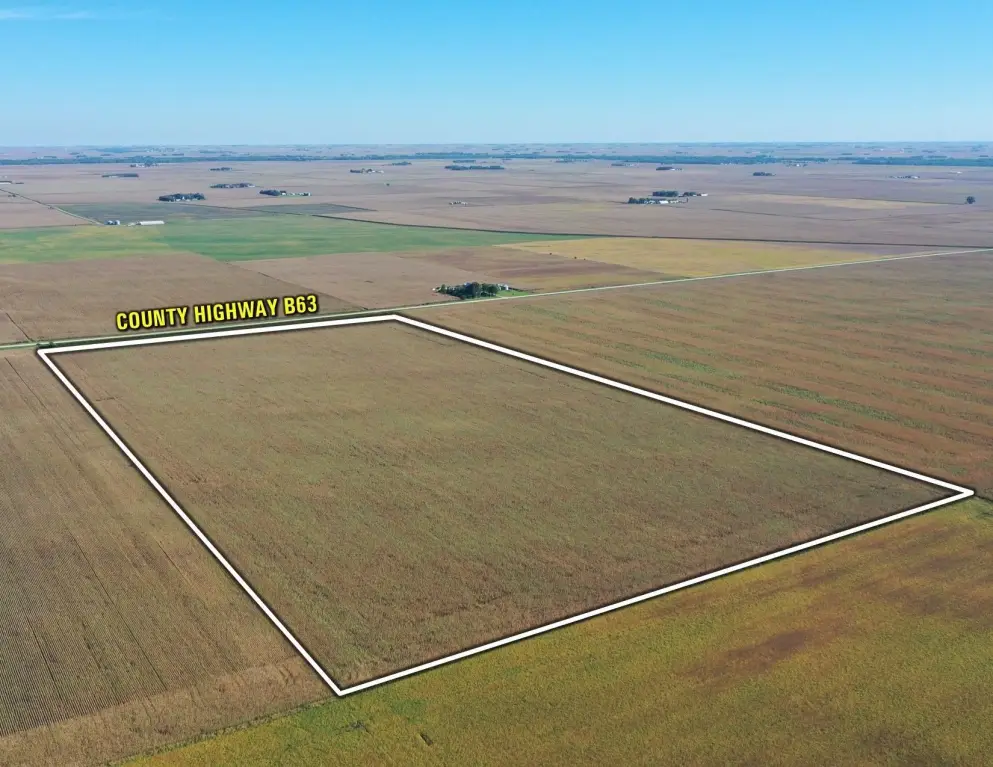
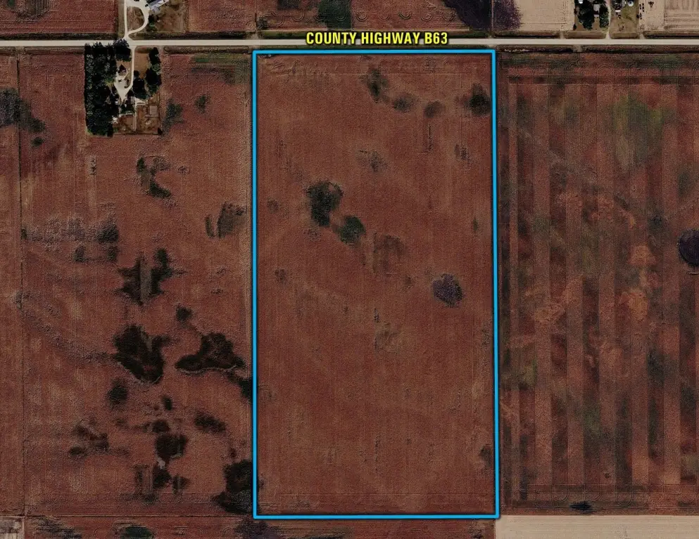
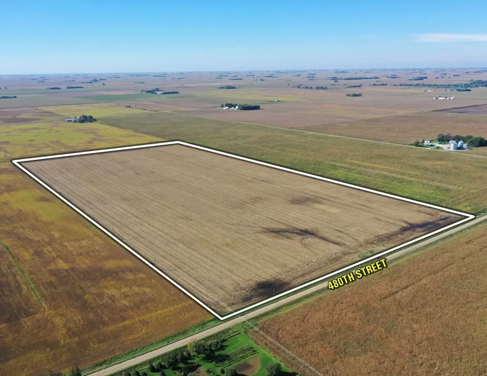
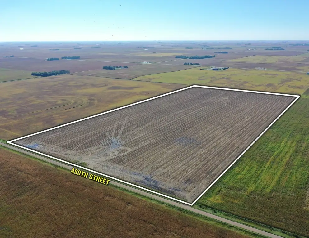
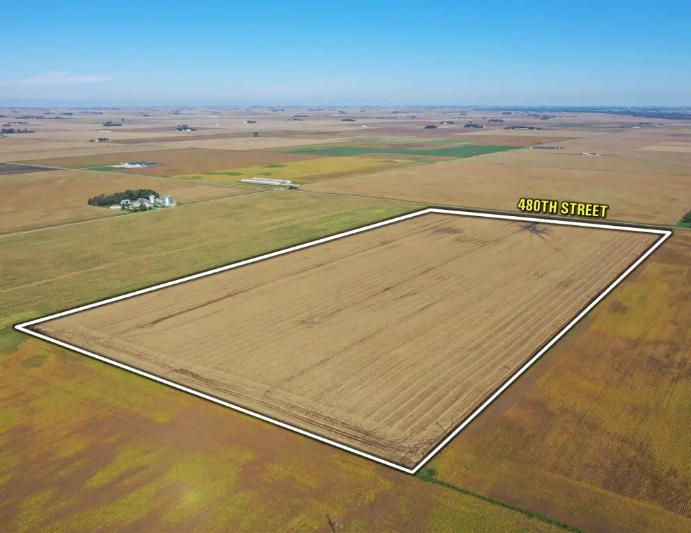
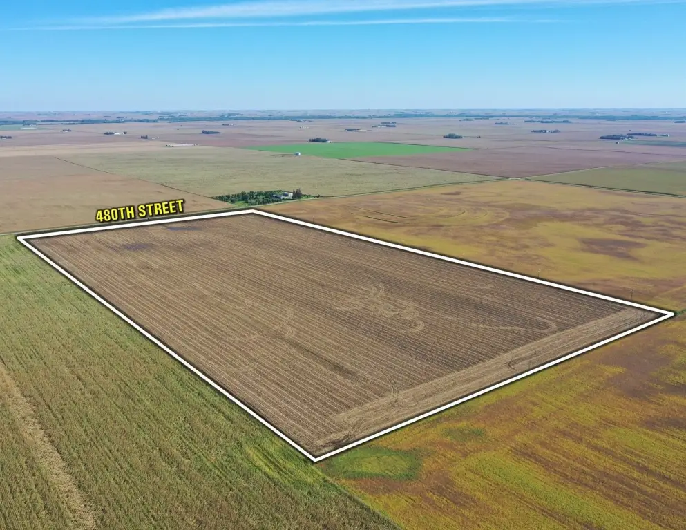
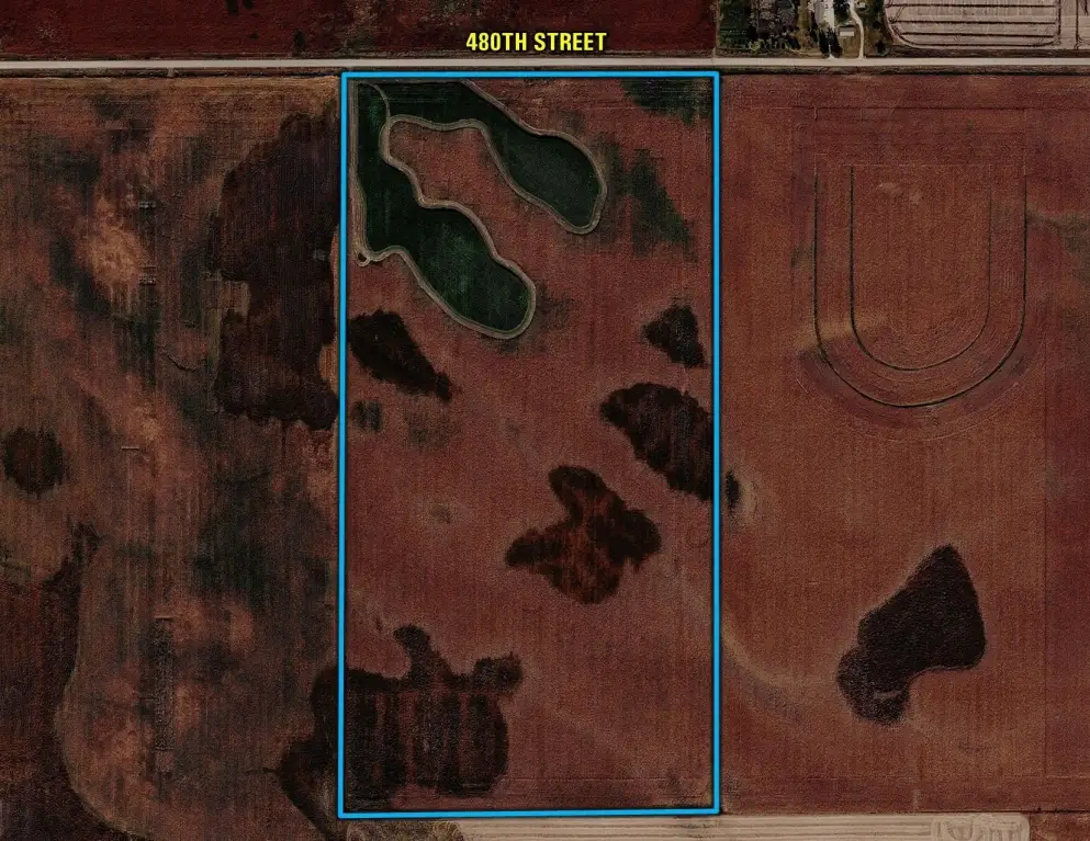
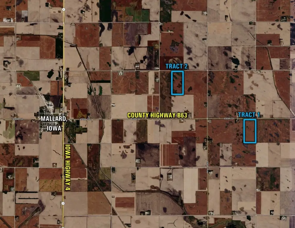
Both tracts are east of Mallard. Tract 1 fronts paved County Highway B63, while Tract 2 is along 480th Street. Grain elevators and ethanol plants are identified as nearby market options.
The land is being offered at auction on November 19, 2026, as two individual tracts. The auction terms allow the high bidder to select either or both tracts, with bidding continuing until both are sold.
Both tracts are east of Mallard. Tract 1 fronts paved County Highway B63, while Tract 2 is along 480th Street. Grain elevators and ethanol plants are identified as nearby market options.
The land is being offered at auction on November 19, 2026, as two individual tracts. The auction terms allow the high bidder to select either or both tracts, with bidding continuing until both are sold.
Key Highlights
- 160 acres with 156.64 FSA cropland acres
- Tract 1: 80 acres m/l, 77.78 FSA cropland acres, CSR2 84.4; along paved County Highway B63
- Tract 2: 80 acres m/l, 78.86 FSA cropland acres, CSR2 78.0; along 480th Street
Property Analytics
Unlock full access to Insights
Subscribe to Realmo Intelligence
Open Analytics
Current Use
Location Intelligence
Trade Area within ½ mile
Explore this area
Business Placement
Demographics for 50562, IA
474
Population
244
Households
1.9
Avg Household Size
49
Median Age
15%
College-Educated
99%
High-School Grad
62.6 sq mi
ZIP Area
8
Density / Sq Mi
$63,750
Median Household Income
$40,729
Median Earnings
$1,146
Median Rent
$75,500
Median Home Value
Check the figures for this property
Cap Rate, Value Estimation, Potential NOI and more
View Realmo Analytics

Questions? Ask Rey
Realmo’s AI knows this listing — price, zoning, demand, history. Ask anything.
Frequently Asked Questions
What type of property is this?
Agricultural land / Farmland - Tillable agricultural land is divided into two separately offered tracts with access from paved roads.
Where is this agricultural land / farmland located?
The property is located at County Highway B63 Mallard, IA.
What are key features of this property?
This property features: 160 acres with 156.64 FSA cropland acres; Tract 1: 80 acres m/l, 77.78 FSA cropland acres, CSR2 84.4; along paved County Highway B63; Tract 2: 80 acres m/l, 78.86 FSA cropland acres, CSR2 78.0; along 480th Street



