Wooded Land Bordering National
For Sale
$199,000
Coperas Cave Branch, Beattyville, KY 41311
Land, Beattyville, KY
Property SizeContact for details
Lot Size100.00 Acres
Days on Market872
Property Features for Coperas Cave Branch
General Information
Property type
Land
Property subtype
Other
Subdivision
Rural
Lot features
Rolling Slope, Wooded, Gentle Sloping, Bottomland, Floodplain, Hilly
Directions
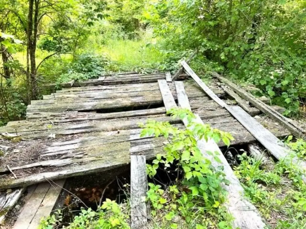
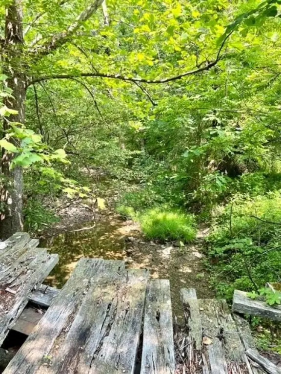
From ShellMart Gas Station Beattyville, South on HWY 11 for 2.6 Miles. Right on HWY 587 for 3.0 Miles. Left on HWY 399 for 500 Feet (Reese's AutoBody Shop). Right on HWY 587 for 4.1 Miles (If you see Stone Coal Cemetery you've gone too far). Right on Todds Road for 1.6 Miles. Left on Virgil Todd Road (First Left on Todd's Road. Possibly 1745 Todds Road). Stop & Park BEFORE the Unusable Bridge!!
Standard status
Active
APN
016-00-00-008
Lot size
100.00 Acres
Listing Agency:
COLOR Real Estate
(859) 948-2062
Listed By:
Ernie Martin
(606) 319-4444
Added: May 19, 2024
Changed: Sep 12
Last Checked: Oct 7 at 11:06AM
MLS# 24009968
Copyright © 2026 ImagineMLS. All rights reserved. All information provided by the listing agent/broker is deemed reliable but is not guaranteed and should be independently verified.
Investment Insights
Based on property information with market context.
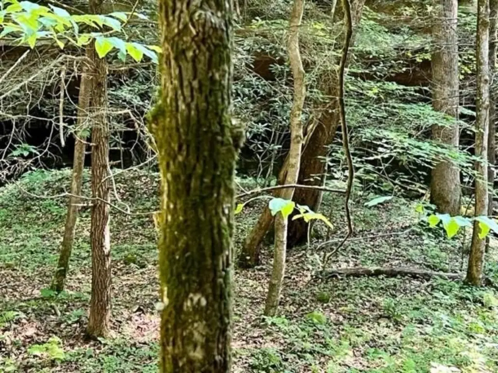
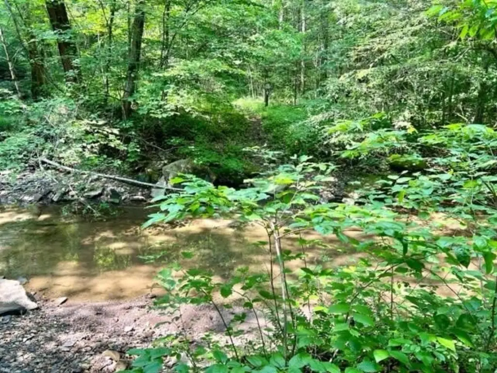
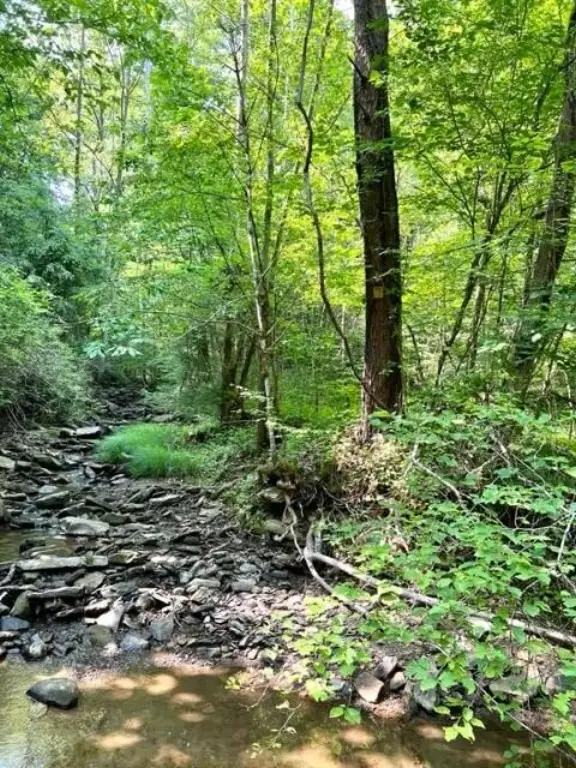
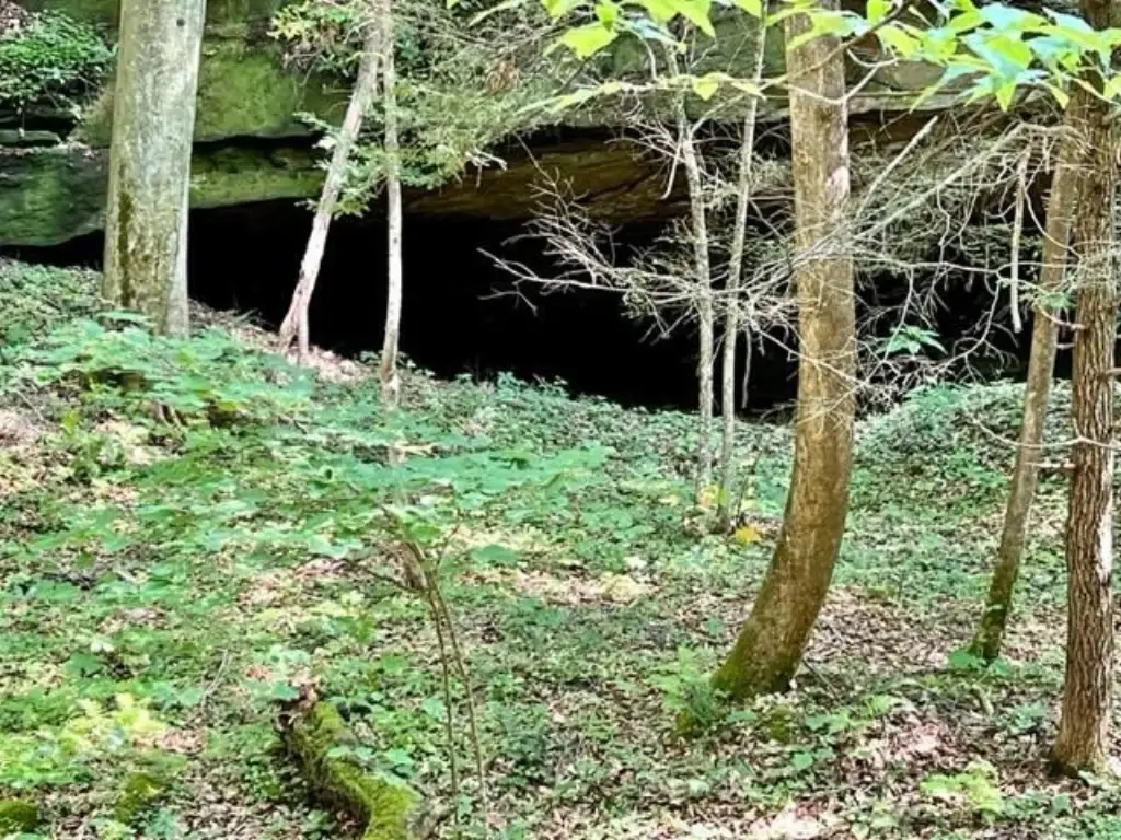
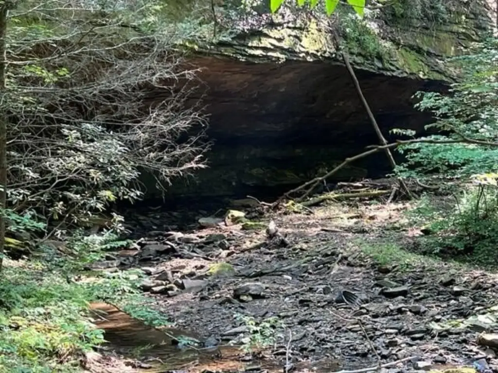
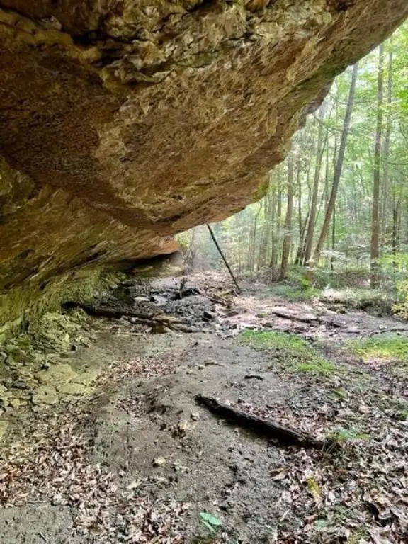
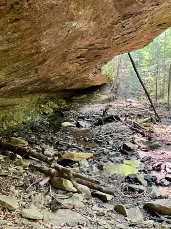
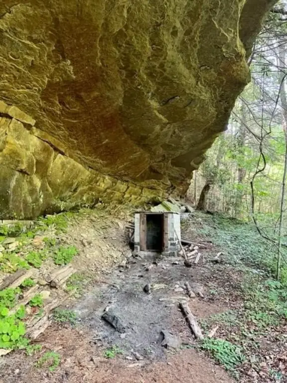
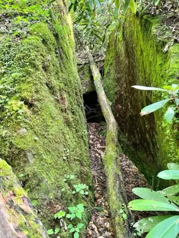
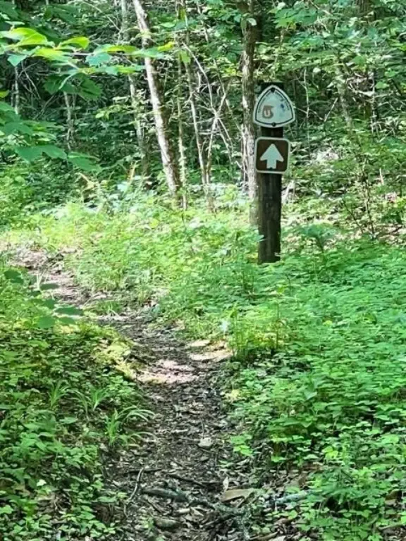
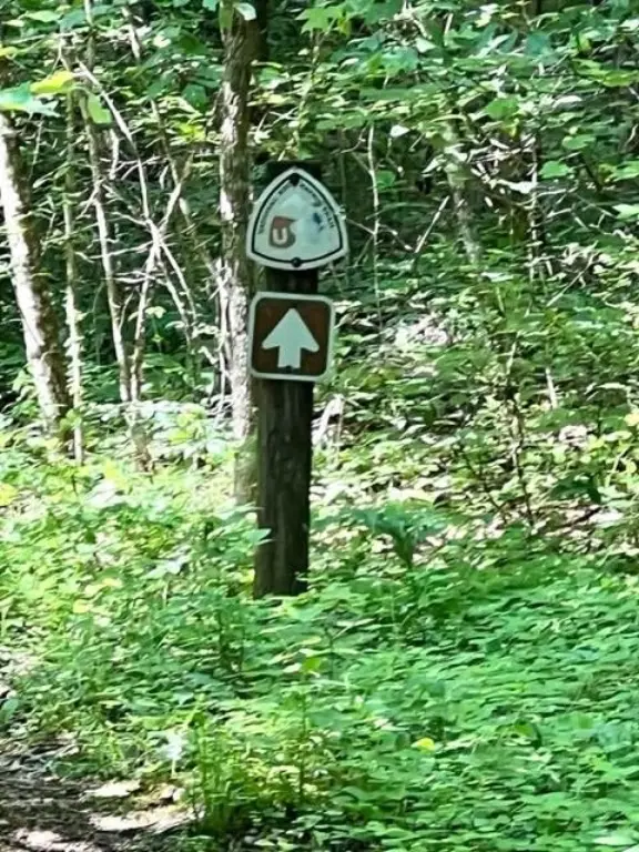
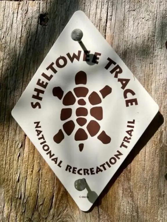
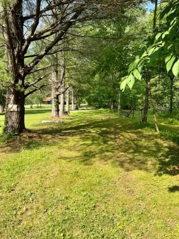
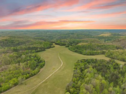
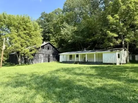
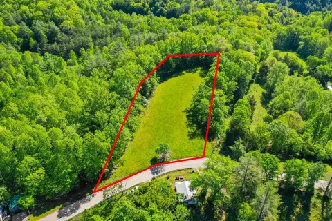
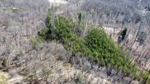
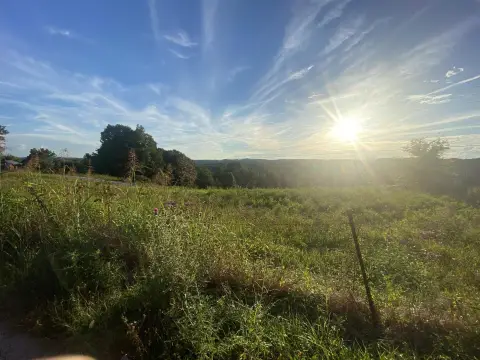
This approximately 100-acre tract is heavily wooded, with multiple rock outcroppings and a portion of the Sheltowee Trace National Recreation Trail crossing the property. It borders National Forest, while Copperas Cave Branch and Sturgeons Creek are located off the property. Electric service and public water are located nearby.
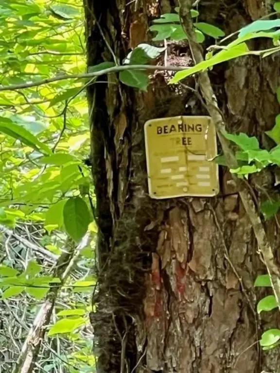
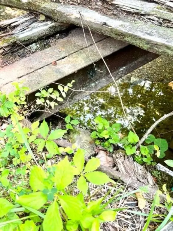
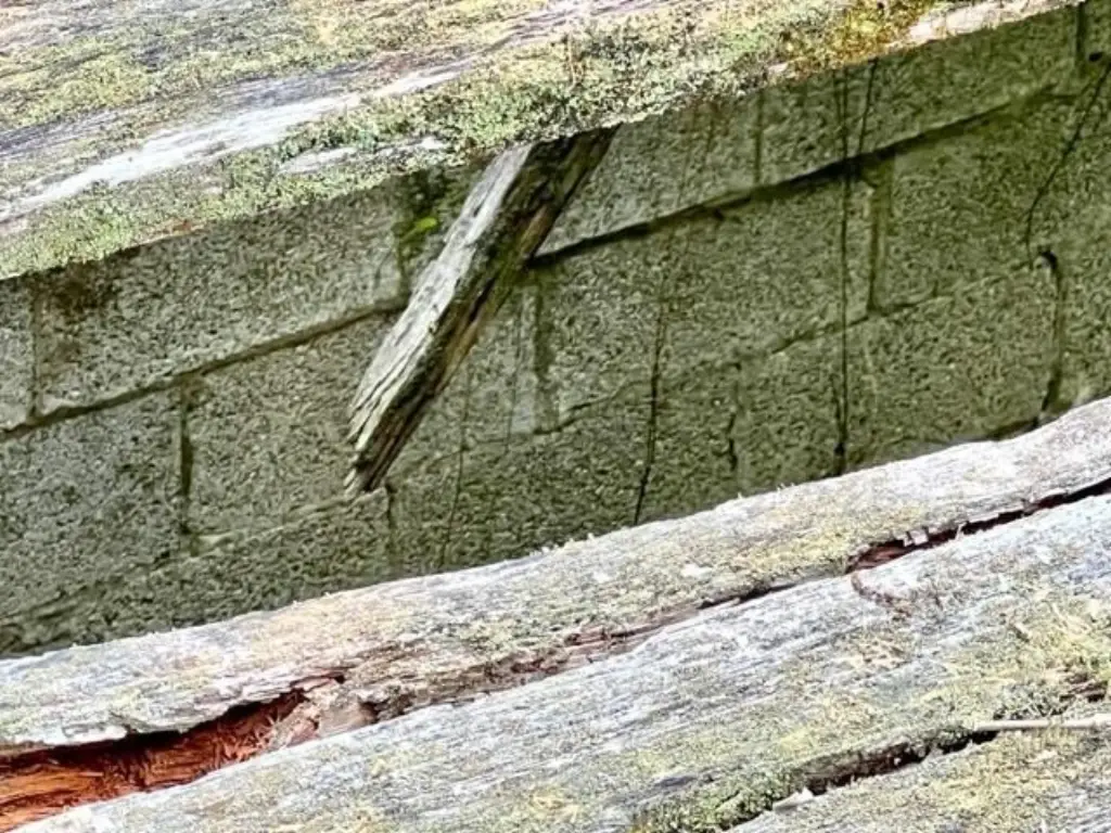
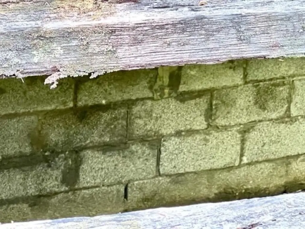
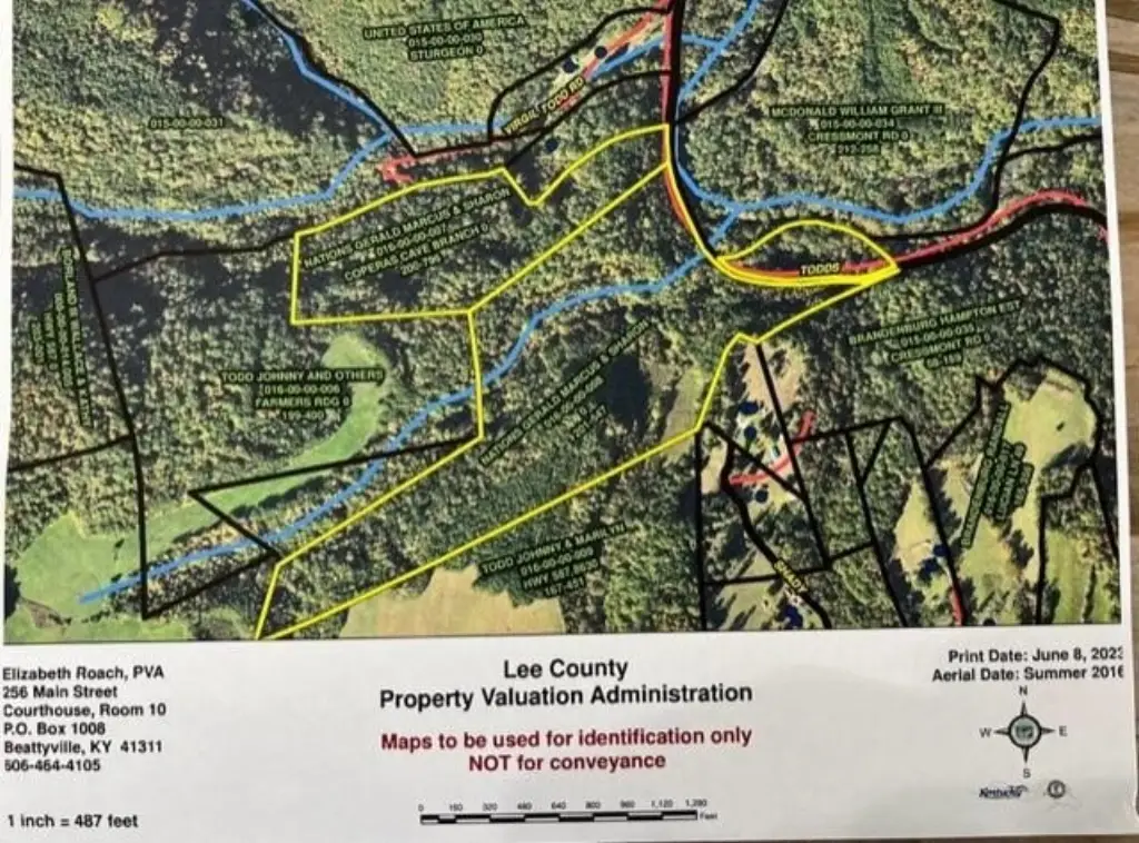
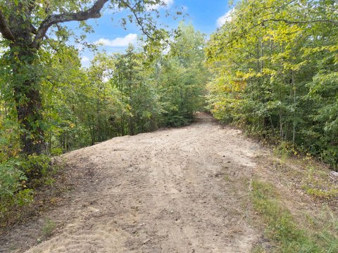
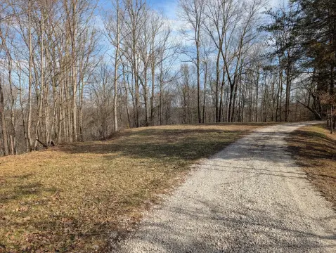
Access is currently difficult. Virgil Todd Road leads to a county bridge that is no longer maintained; beyond the bridge, an unmaintained county road continues toward the property. The bridge’s surface planking has rotted and it is not safe for vehicle or pedestrian use. The PVA map identifies an approximate location but is described as highly inaccurate. No recorded survey is available, although the deed wording indicates a survey may be possible.
Access is currently difficult. Virgil Todd Road leads to a county bridge that is no longer maintained; beyond the bridge, an unmaintained county road continues toward the property. The bridge’s surface planking has rotted and it is not safe for vehicle or pedestrian use. The PVA map identifies an approximate location but is described as highly inaccurate. No recorded survey is available, although the deed wording indicates a survey may be possible.
Key Highlights
- Approximately 100 acres of heavily wooded land
- Borders National Forest
- Sheltowee Trace National Recreation Trail crosses a portion of the property
Property Analytics
Unlock full access to Insights
Subscribe to Realmo Intelligence
Open Analytics
Current Use
Location Intelligence
Trade Area within ½ mile
4
Businesses Nearby
Explore this area
Business Placement
Demographics for 41311, KY
6,759
Population
2,807
Households
2.4
Avg Household Size
43
Median Age
8%
College-Educated
75%
High-School Grad
170.5 sq mi
ZIP Area
40
Density / Sq Mi
$34,811
Median Household Income
$30,043
Median Earnings
$585
Median Rent
$83,500
Median Home Value
Check the figures for this property
Cap Rate, Value Estimation, Potential NOI and more
View Realmo Analytics

Questions? Ask Rey
Realmo’s AI knows this listing — price, zoning, demand, history. Ask anything.



Frequently Asked Questions
What type of property is this?
Land - Heavily wooded acreage with rock outcroppings and a portion of the Sheltowee Trace National Recreation Trail.
Where is this land located?
The property is located at Coperas Cave Branch Beattyville, KY.
What is the asking price?
The asking price for this property is $199,000.
What are key features of this property?
This property features: Approximately 100 acres of heavily wooded land; Borders National Forest; Sheltowee Trace National Recreation Trail crosses a portion of the property


