Hunting Land with
For Sale
$255,000
CR 1625, Clayton, OK 74536
Land, Clayton, OK
Property SizeContact for details
Lot Size30.00 Acres
Days on Market321
Property Features for CR 1625
General Information
Property type
Land
Property subtype
Other
Standard status
Active
Lot size
30.00 Acres
Listing Agency:
Red River Realty and Auction
Listed By:
Chuck Clark
(580) 924-9595
Added: Nov 19, 2025
Changed: Aug 19
Last Checked: Oct 6 at 3:06AM
MLS# 11632948
Copyright © 2026 My State MLS. All rights reserved. All information provided by the listing agent/broker is deemed reliable but is not guaranteed and should be independently verified.
Investment Insights
Based on property information with market context.
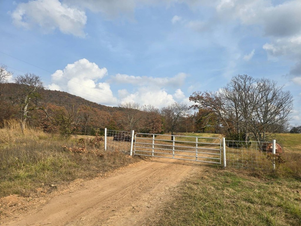
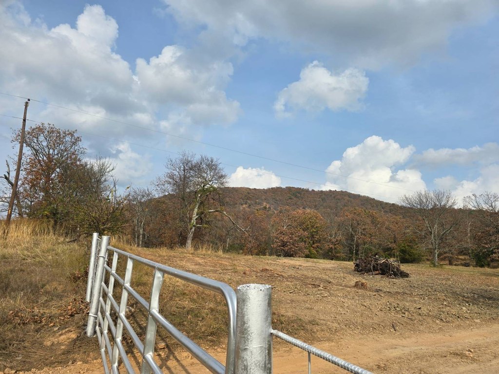
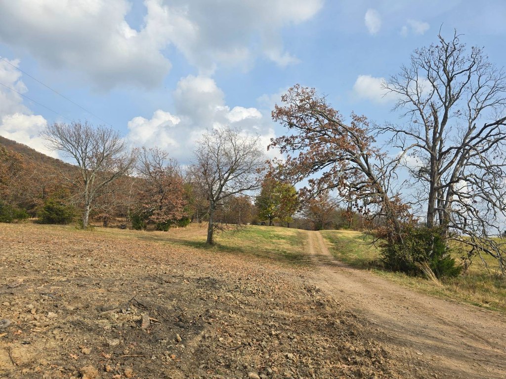
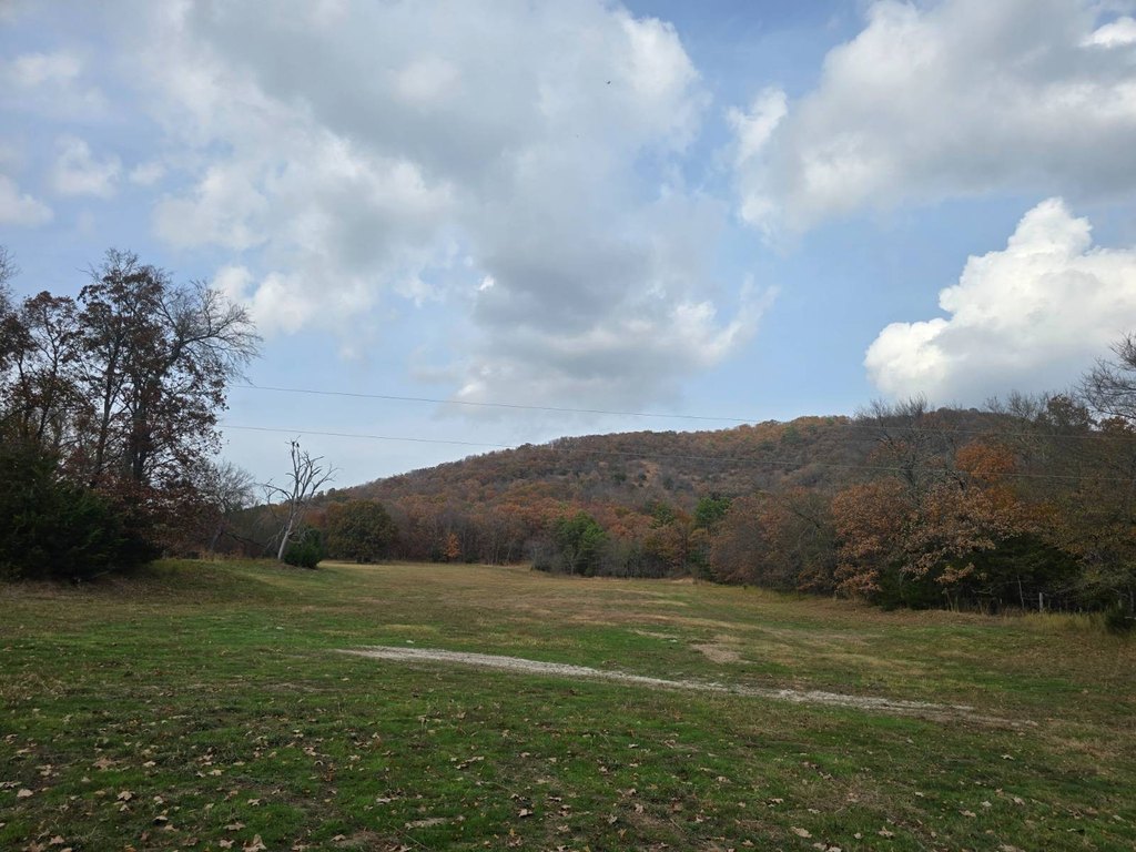
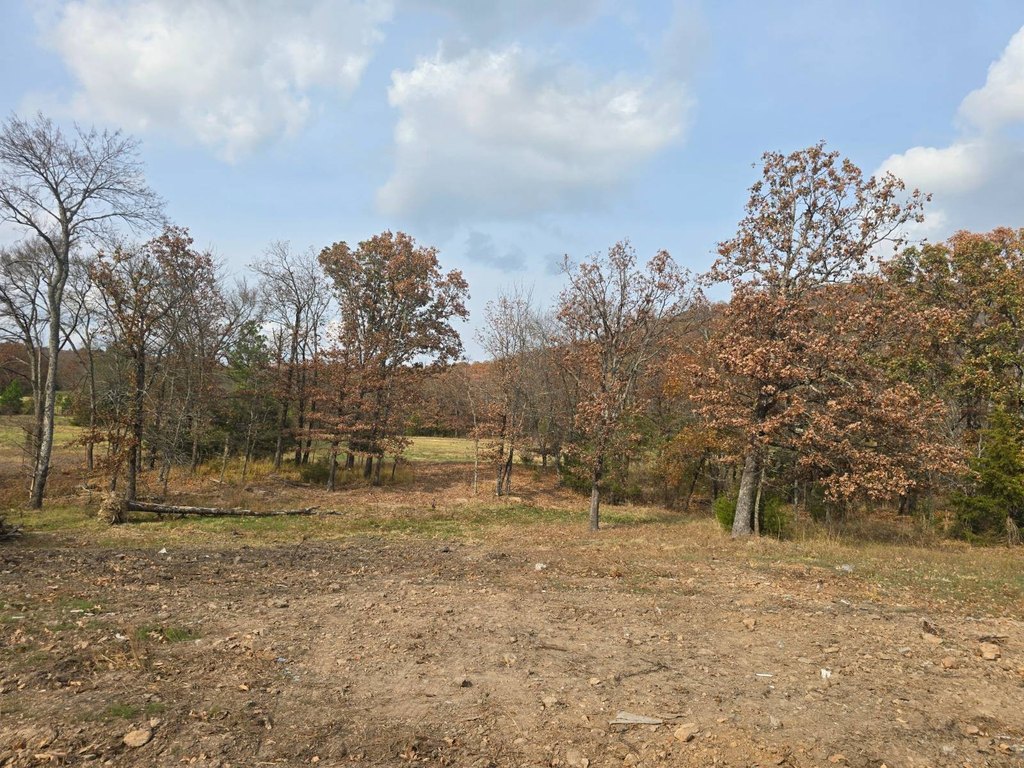
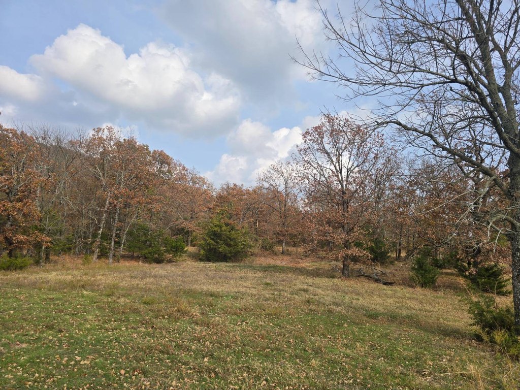
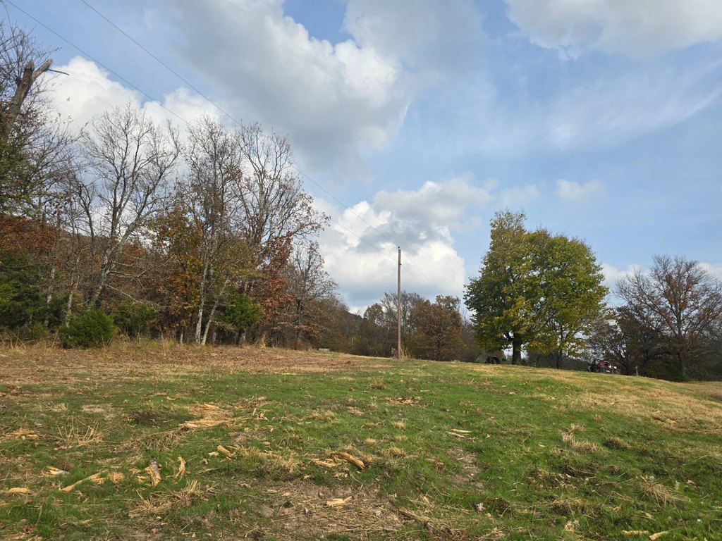
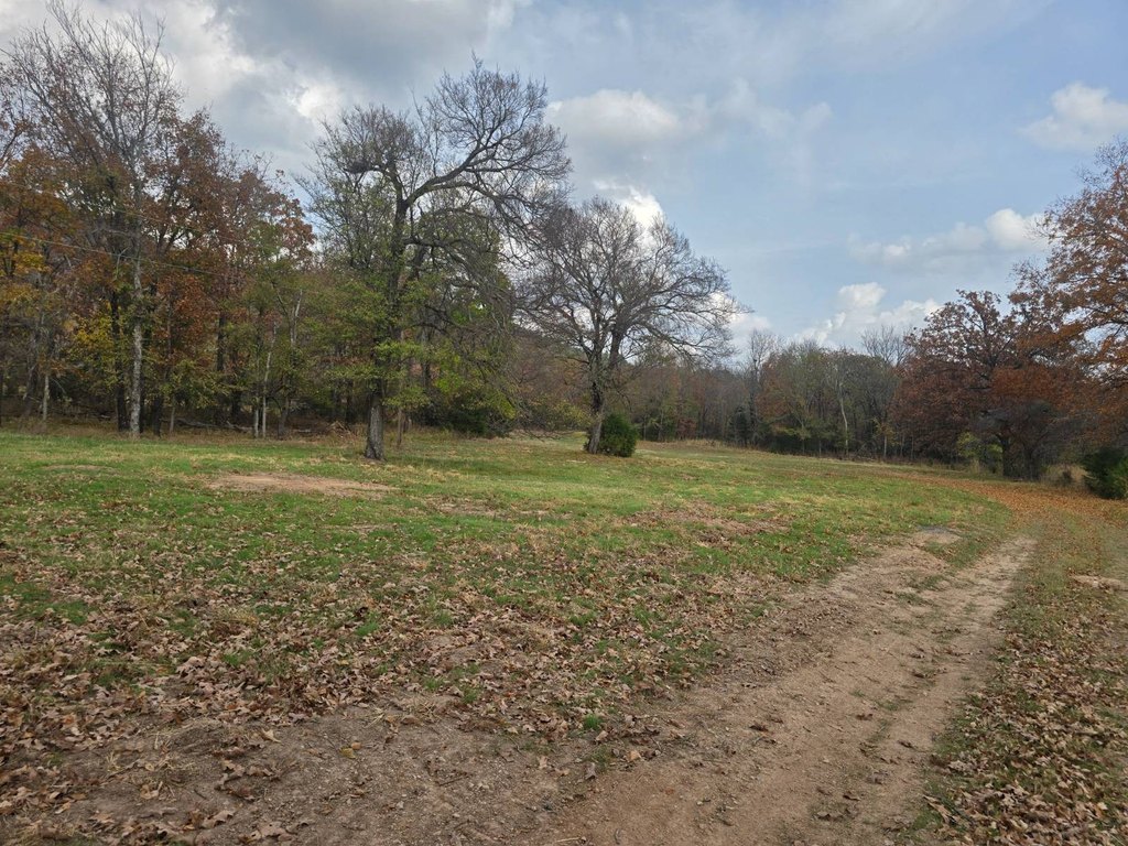
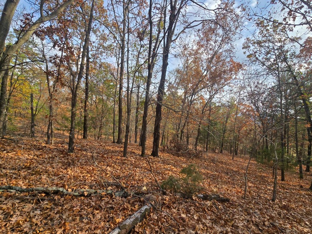
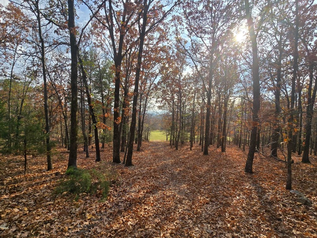
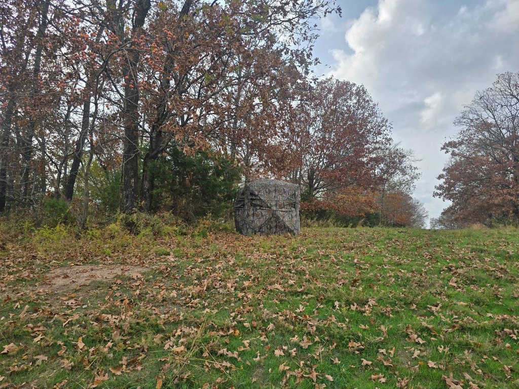
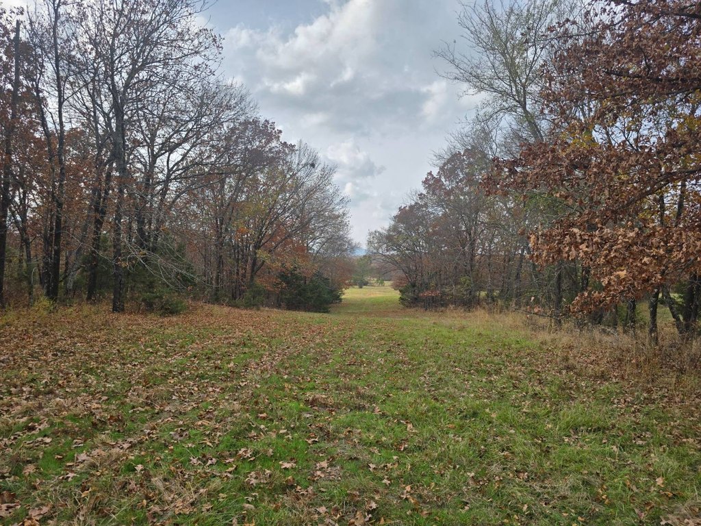
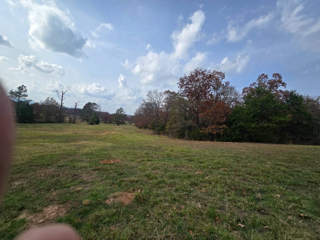
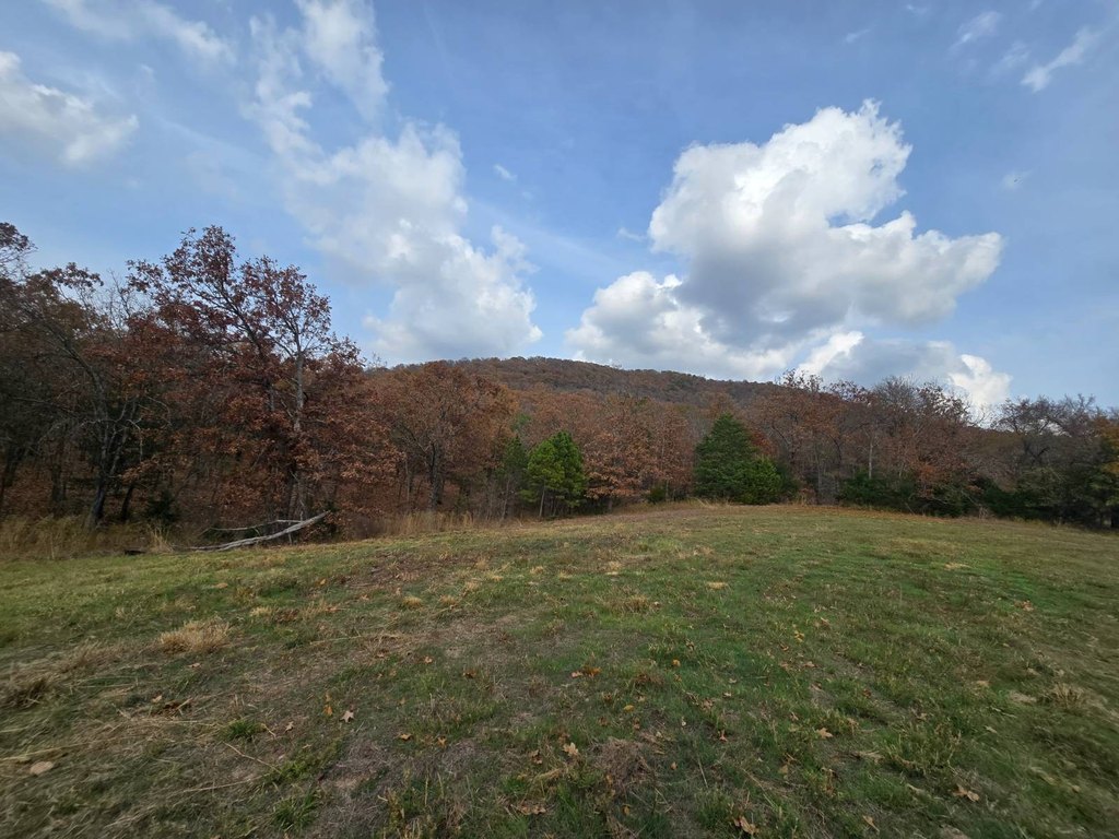
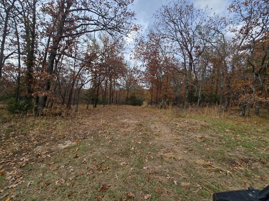
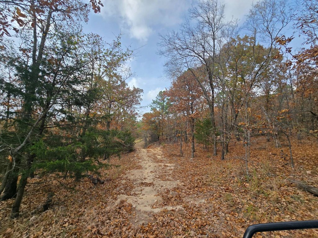
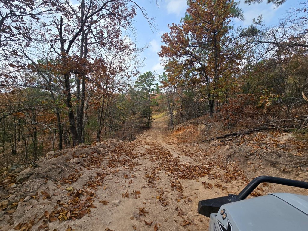
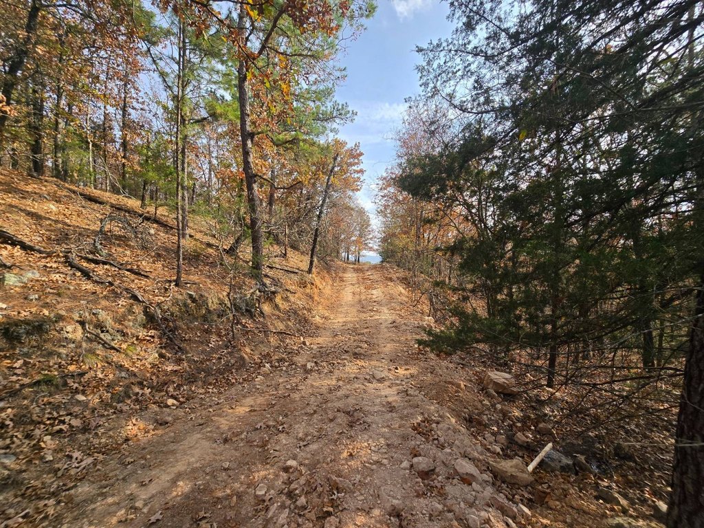
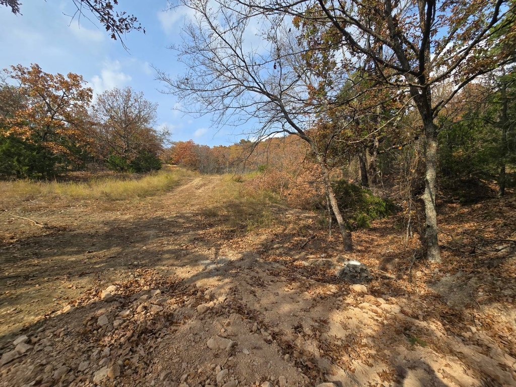
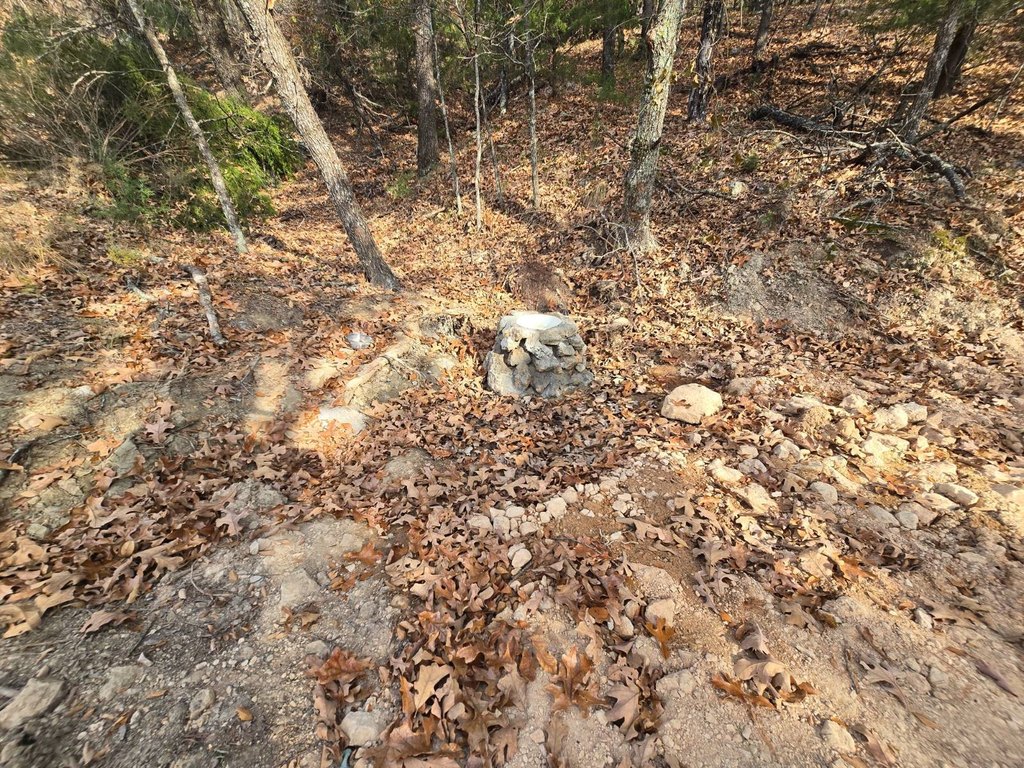
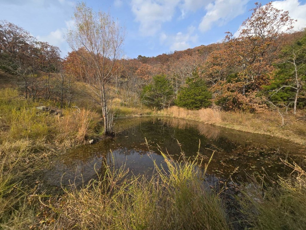
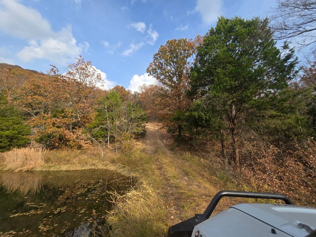
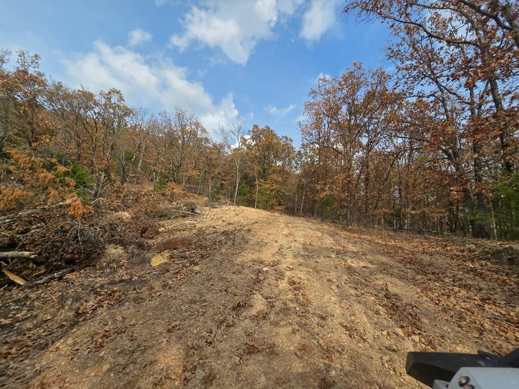
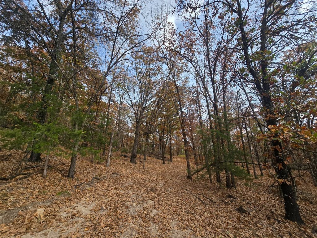
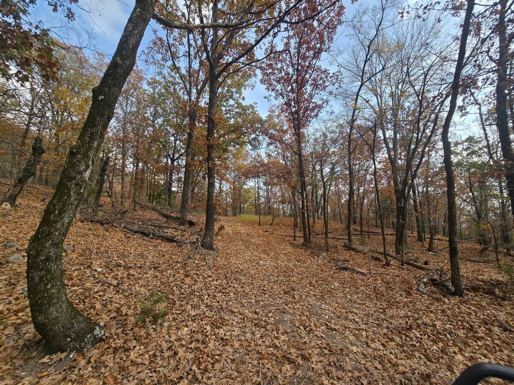
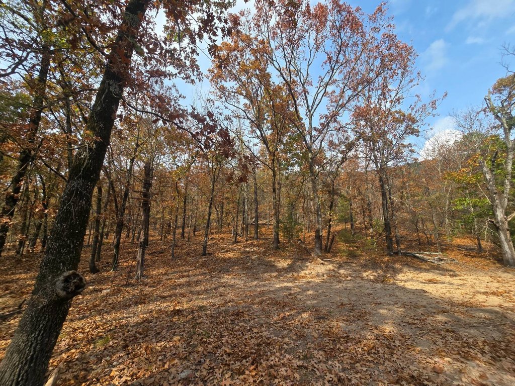
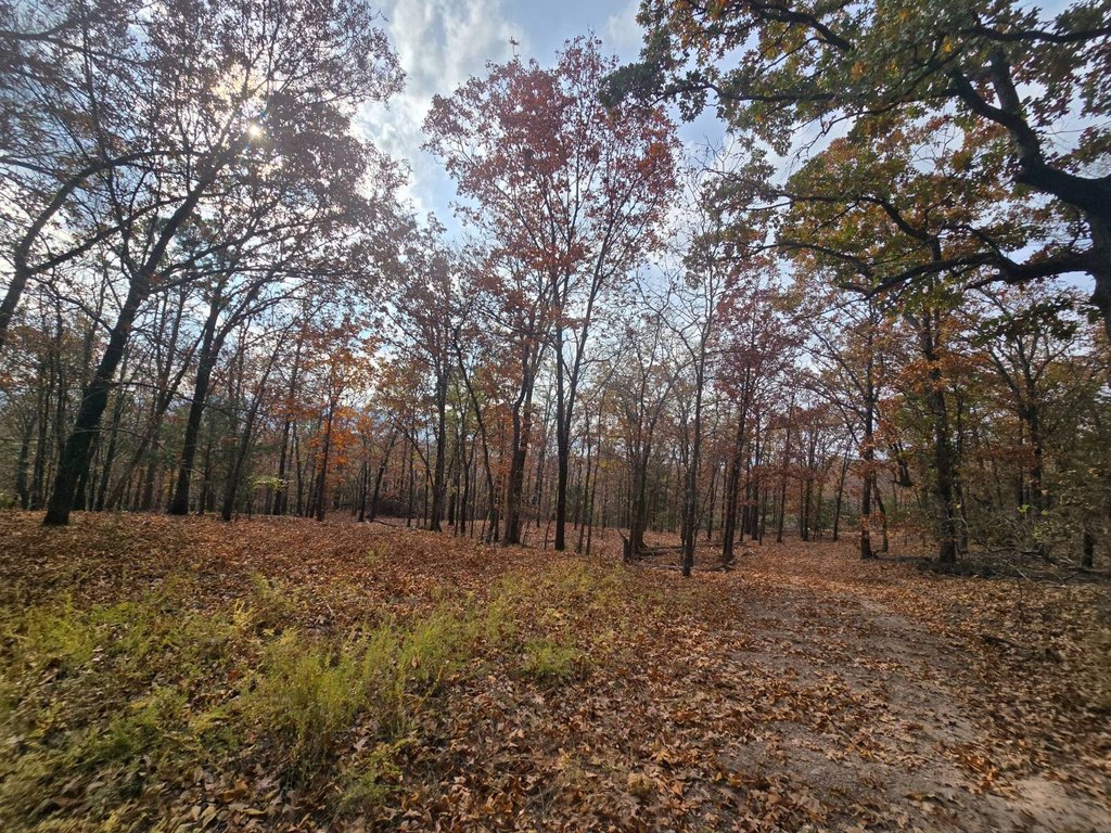
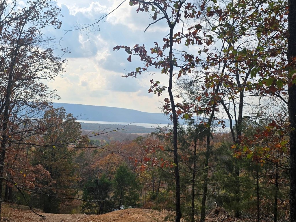
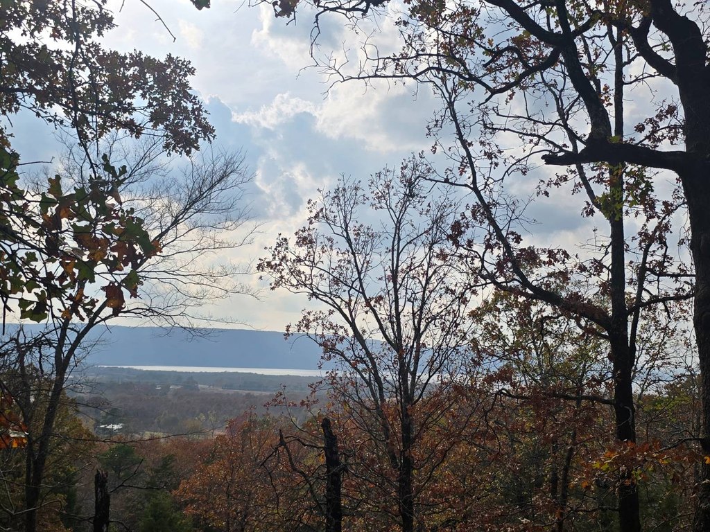
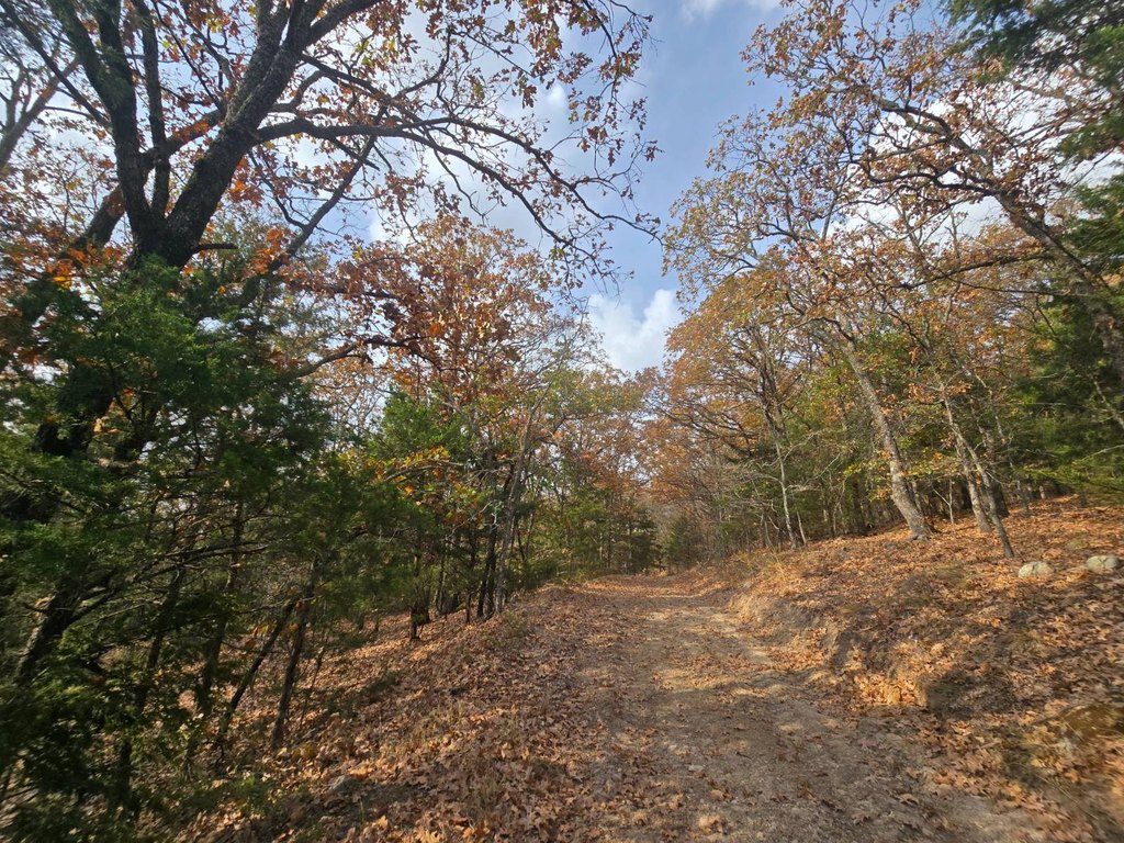
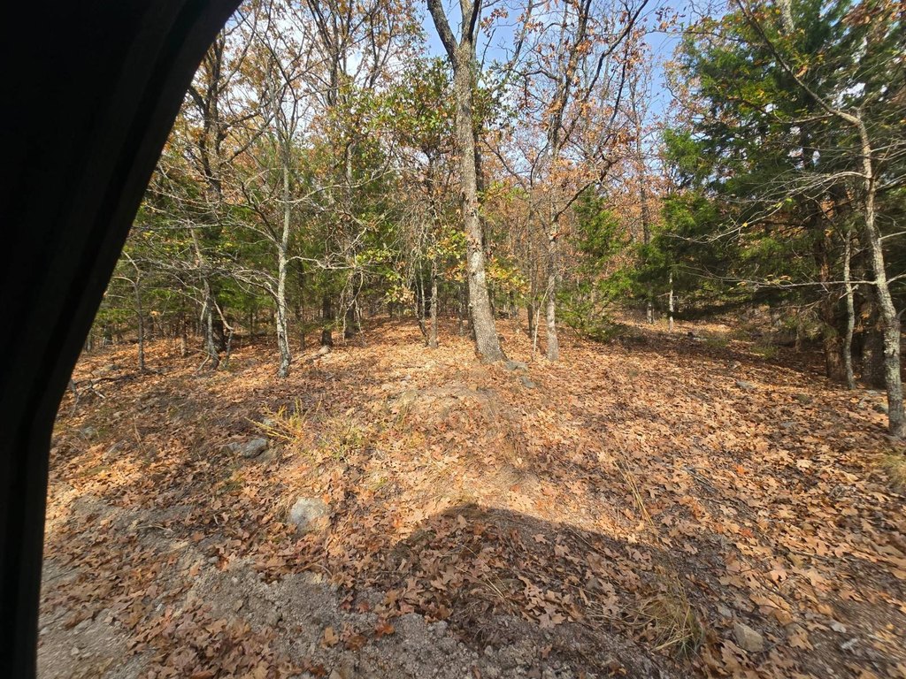
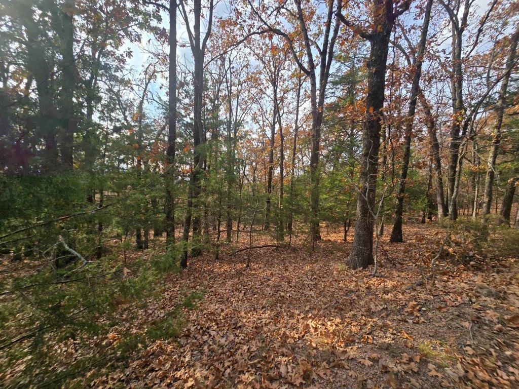
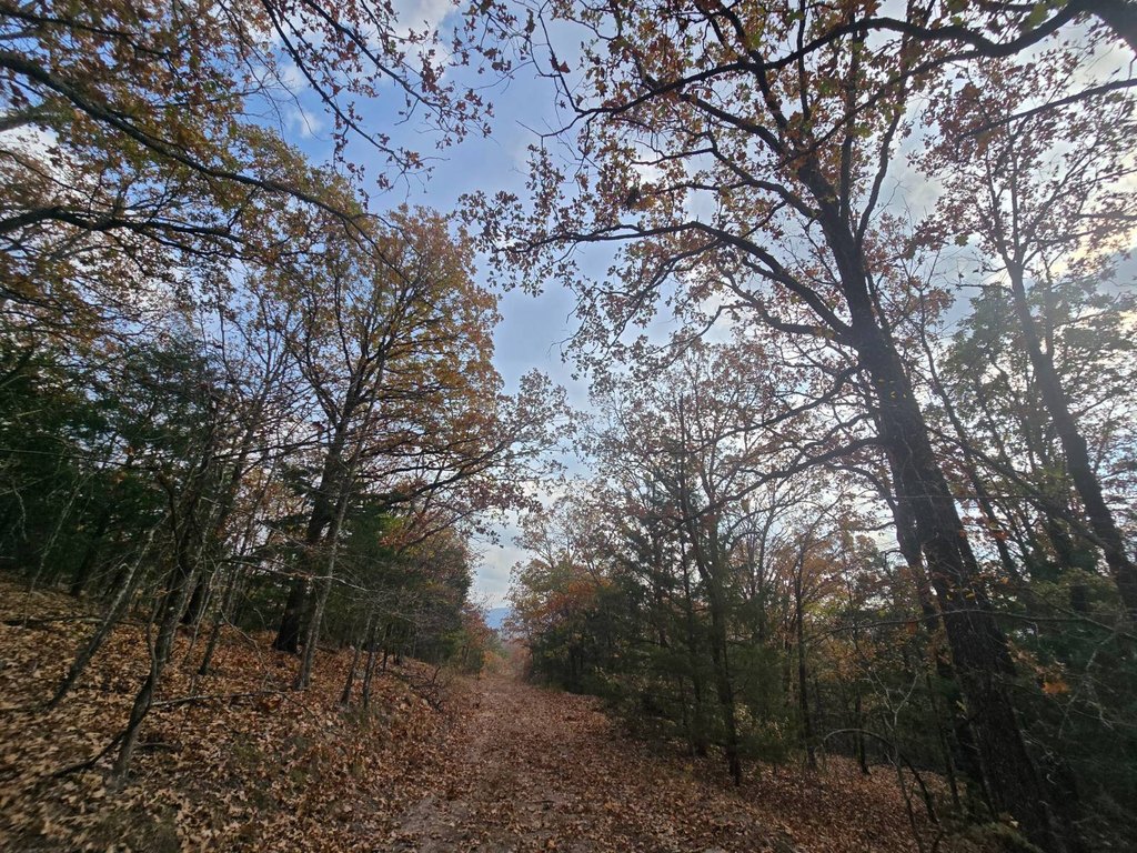
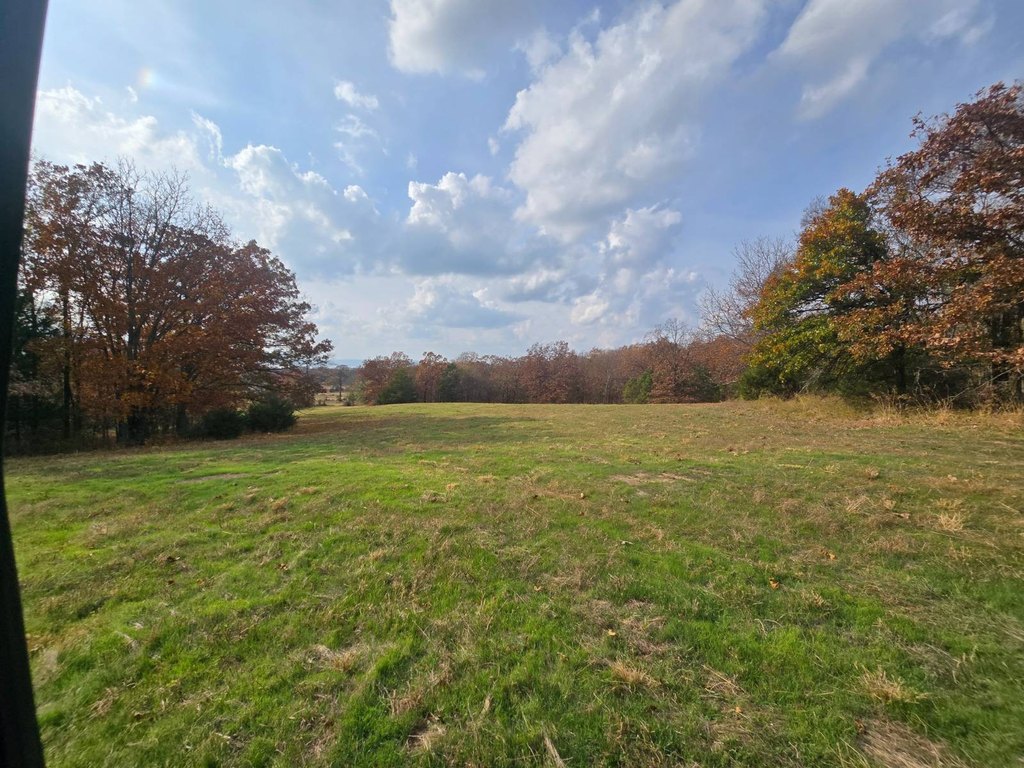
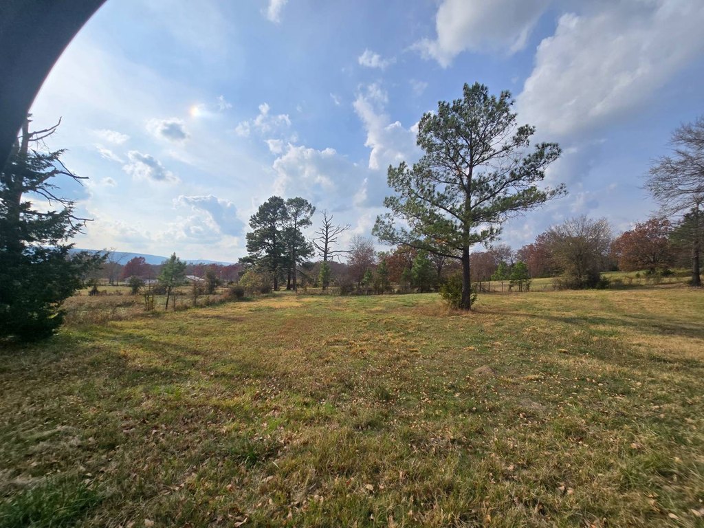
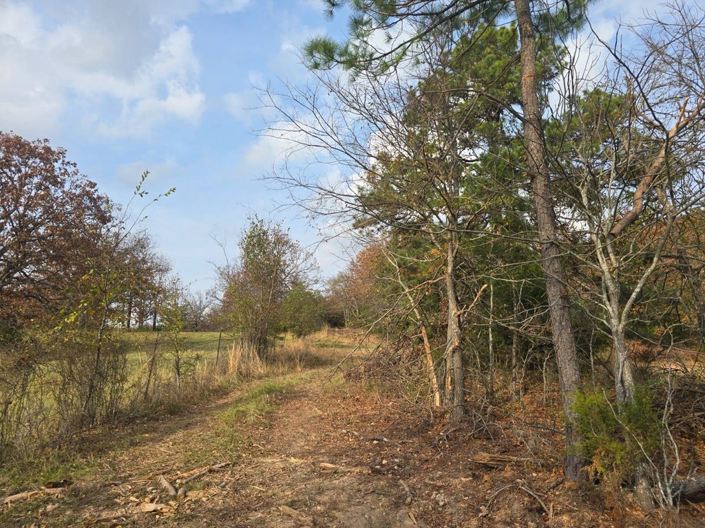
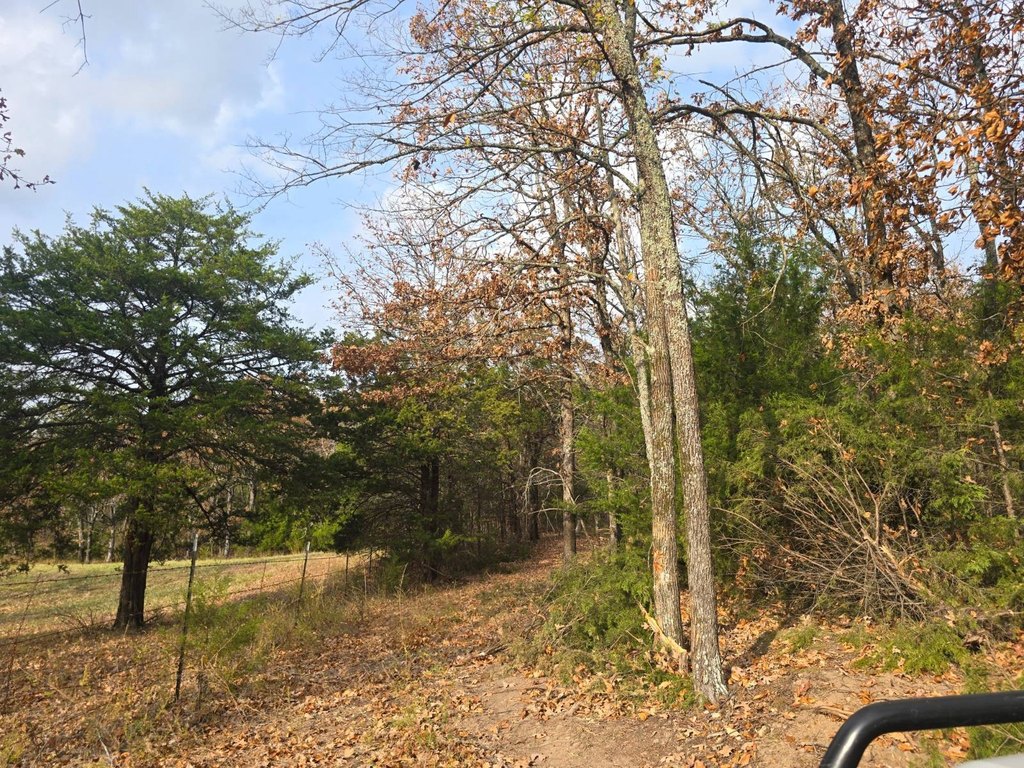
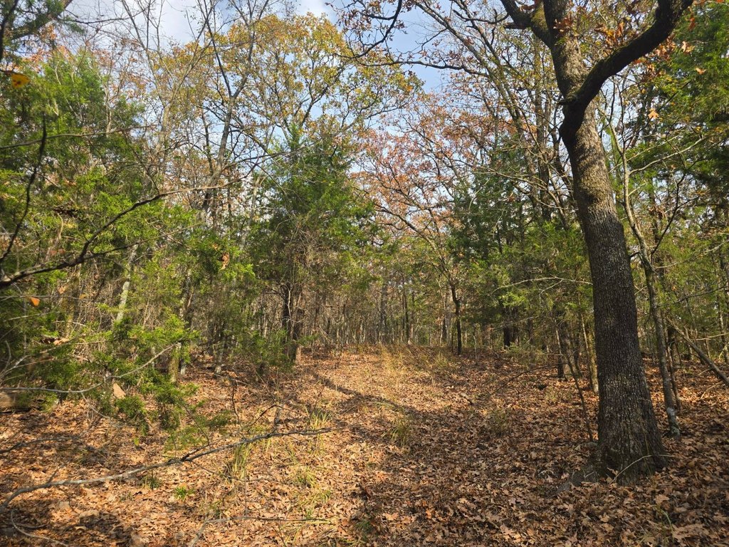
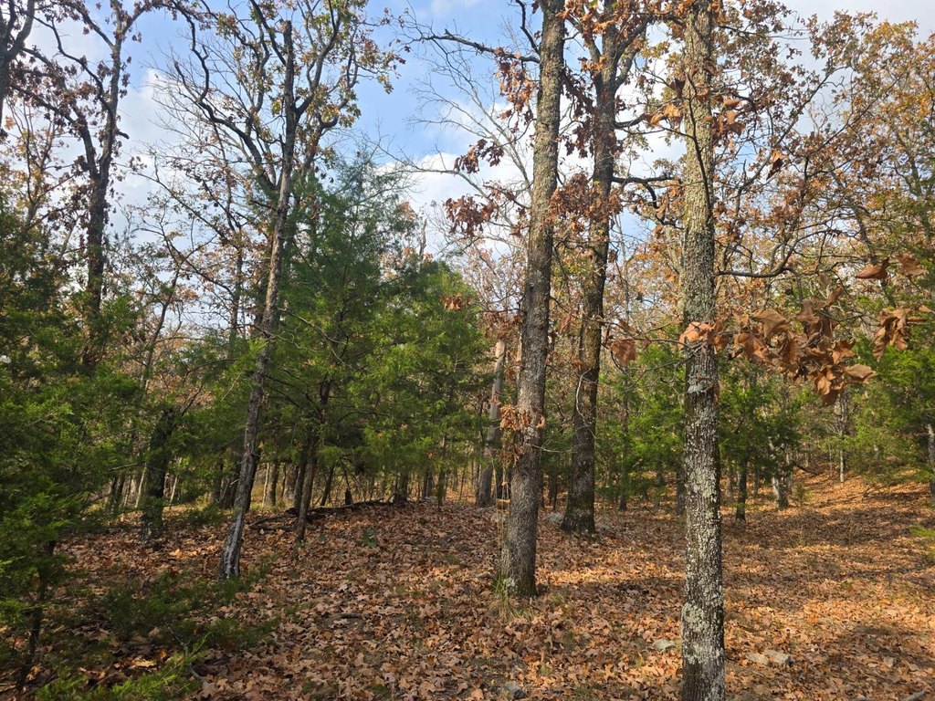
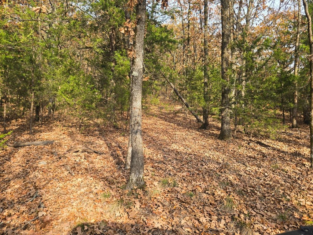
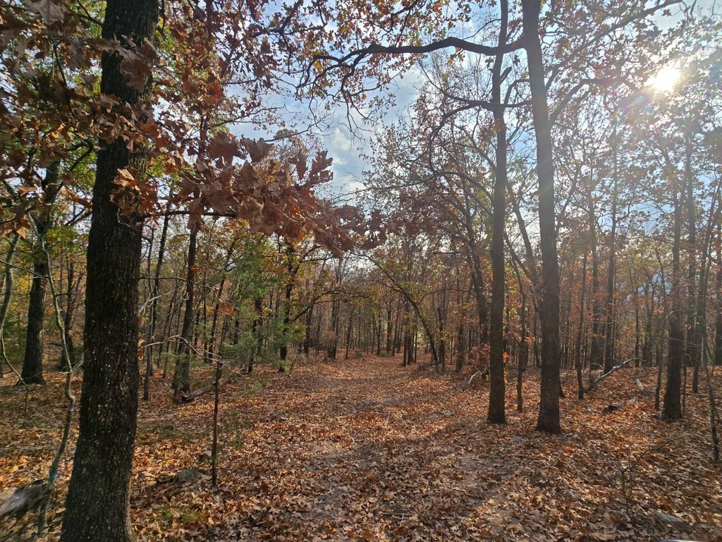
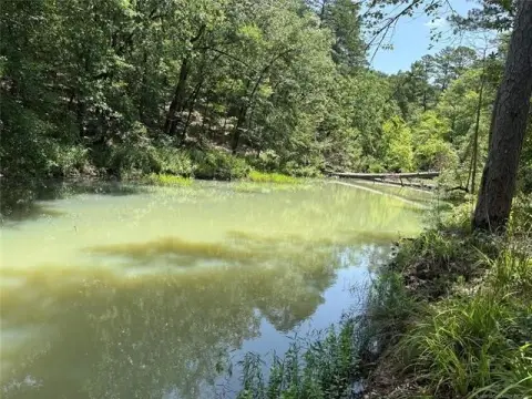
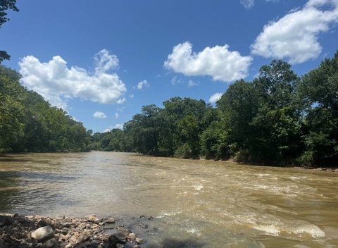
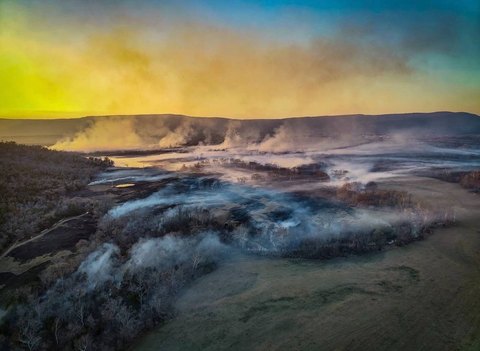
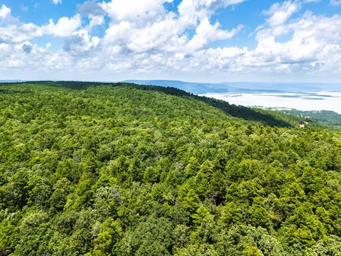
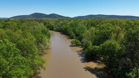
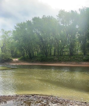
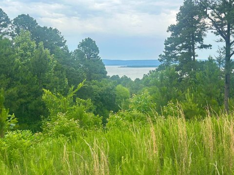
This 30-acre hunting property combines wooded mountain terrain with rolling valley meadows and scattered trees. Two ponds are located on the land, including one spring-fed pond that remains full year-round and a second runoff pond. An existing cabin pad sits on the mountain tract, while an older perimeter fence marks the property boundaries. Rural water, electricity, and a land telephone line are already in place.
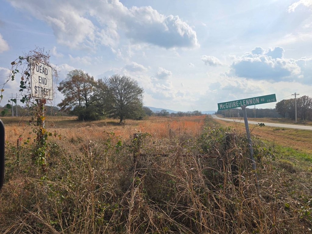
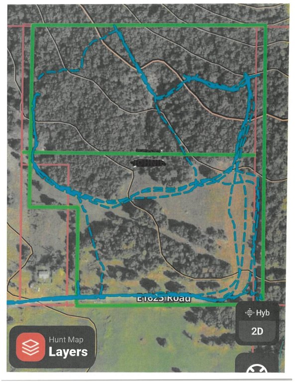
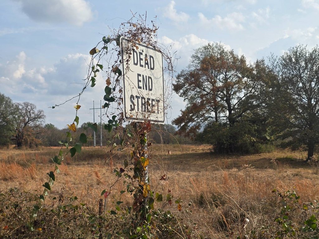
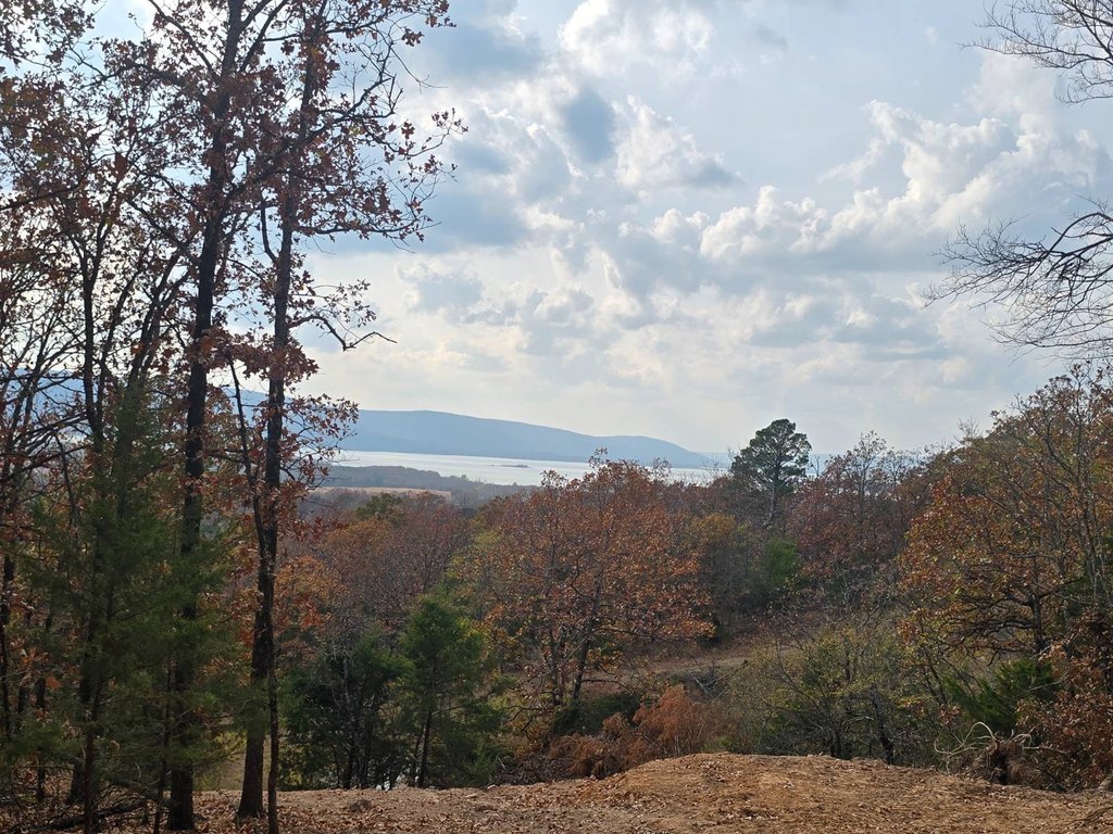
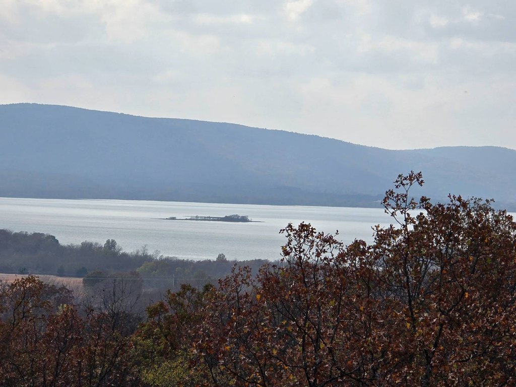
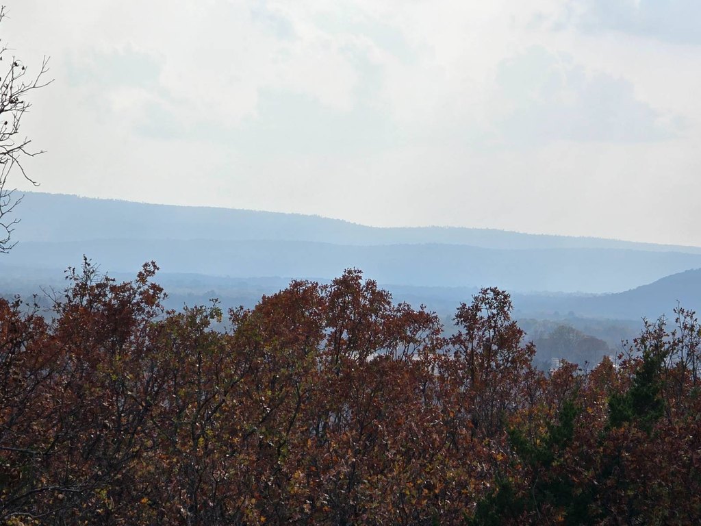
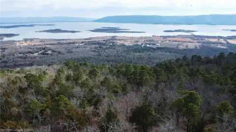
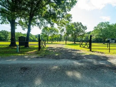
Access is provided by legal deeded entry from the end of a paved county road, creating a private setting without through traffic. The property is approximately 1/2 mile from Sardis Lake and Potato Hills South Campground, including its boat ramp and swimming beach, and is just off Hwy 2. Elevation ranges from 680' at the southwest gate to 920' at the northeast corner, producing 240' of change and views toward Sardis Lake and the surrounding mountains.
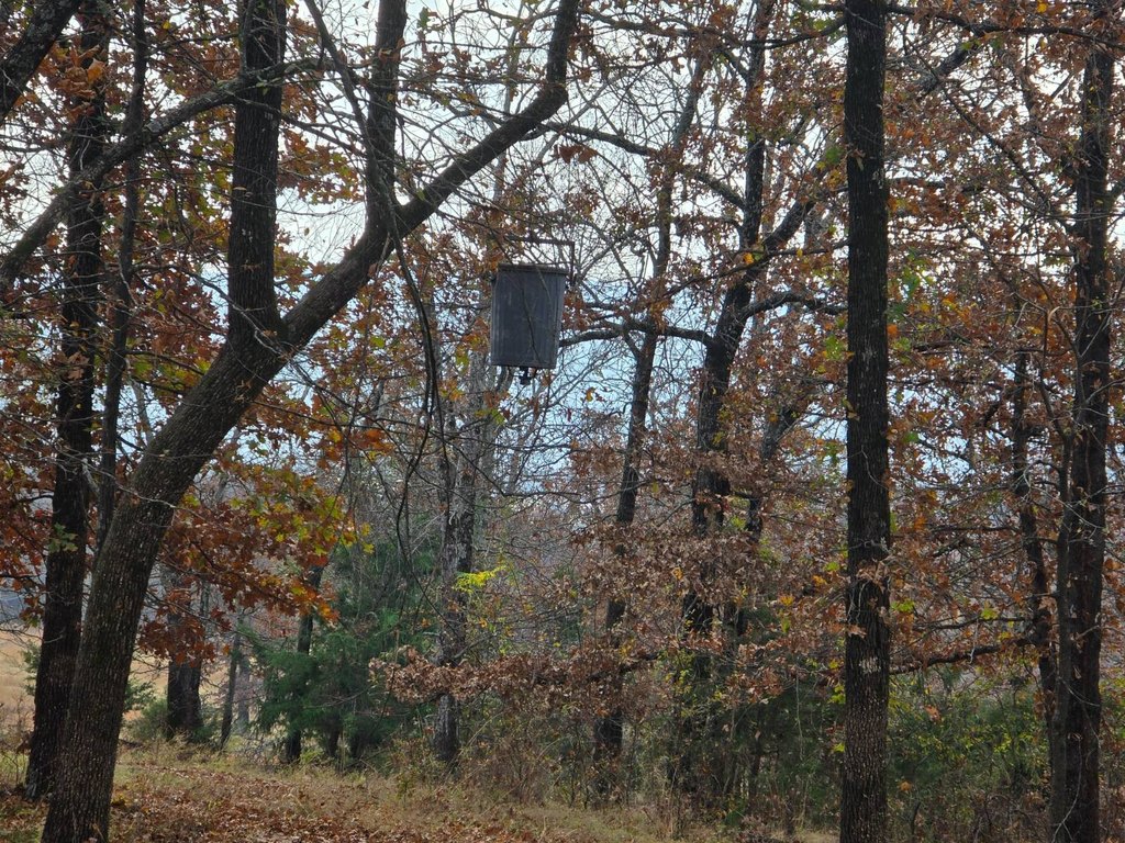
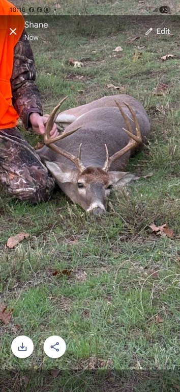
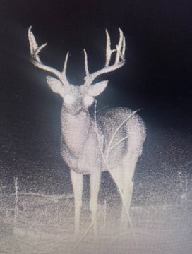
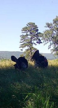
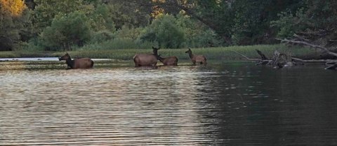
The acreage may be divided into two 15 Acre tracts. Hunting opportunities described for the area include white tailed deer, elk, wild turkey, squirrel, rabbits, wild hogs, and black bear.
Access is provided by legal deeded entry from the end of a paved county road, creating a private setting without through traffic. The property is approximately 1/2 mile from Sardis Lake and Potato Hills South Campground, including its boat ramp and swimming beach, and is just off Hwy 2. Elevation ranges from 680' at the southwest gate to 920' at the northeast corner, producing 240' of change and views toward Sardis Lake and the surrounding mountains.
The acreage may be divided into two 15 Acre tracts. Hunting opportunities described for the area include white tailed deer, elk, wild turkey, squirrel, rabbits, wild hogs, and black bear.
Key Highlights
- 30 acres with wooded mountain and rolling meadow terrain
- Two ponds, including one spring‑fed pond and one runoff pond
- Rural water, electricity, and a land telephone line already on the property
Property Analytics
Current Use
Lease Details
Yes
Paved road access
Yes
Utilities to site
Location Intelligence
Trade Area within ½ mile
5
Businesses Nearby
Explore this area
Business Placement
Demographics for 74536, OK
1,335
Population
888
Households
1.5
Avg Household Size
48
Median Age
13%
College-Educated
88%
High-School Grad
301.2 sq mi
ZIP Area
4
Density / Sq Mi
$39,712
Median Household Income
$29,808
Median Earnings
$429
Median Rent
$114,400
Median Home Value

Questions? Ask Rey
Realmo’s AI knows this listing — price, zoning, demand, history. Ask anything.
Frequently Asked Questions
What type of property is this?
Hunting land - Wooded mountain terrain, meadow areas, ponds, and utility service support recreational and rural-residential use.
Where is this hunting land located?
The property is located at CR 1625 Clayton, OK.
What is the asking price?
The asking price for this property is $255,000.
What are key features of this property?
This property features: 30 acres with wooded mountain and rolling meadow terrain; Two ponds, including one spring‑fed pond and one runoff pond; Rural water, electricity, and a land telephone line already on the property