Farm with
For Sale
$1,029,000
Pending
State Hwy C and RT FF, Albany, MO 64402
Land, Albany, MO
Property SizeContact for details
Lot Size196.00 Acres
Days on Market610
Property Features for State Hwy C and RT FF
General Information
Property type
Land
Property subtype
Other
Standard status
Pending
Lot size
196.00 Acres
Listing Agency:
United Country Nelson Real Estate
Listed By:
Tammy Wynne-Siddens
(660) 425-2288
Added: Feb 6, 2025
Changed: Sep 24
Last Checked: Oct 9 at 4:06PM
MLS# 11430212
Copyright © 2026 My State MLS. All rights reserved. All information provided by the listing agent/broker is deemed reliable but is not guaranteed and should be independently verified.
Investment Insights
Based on property information with market context.
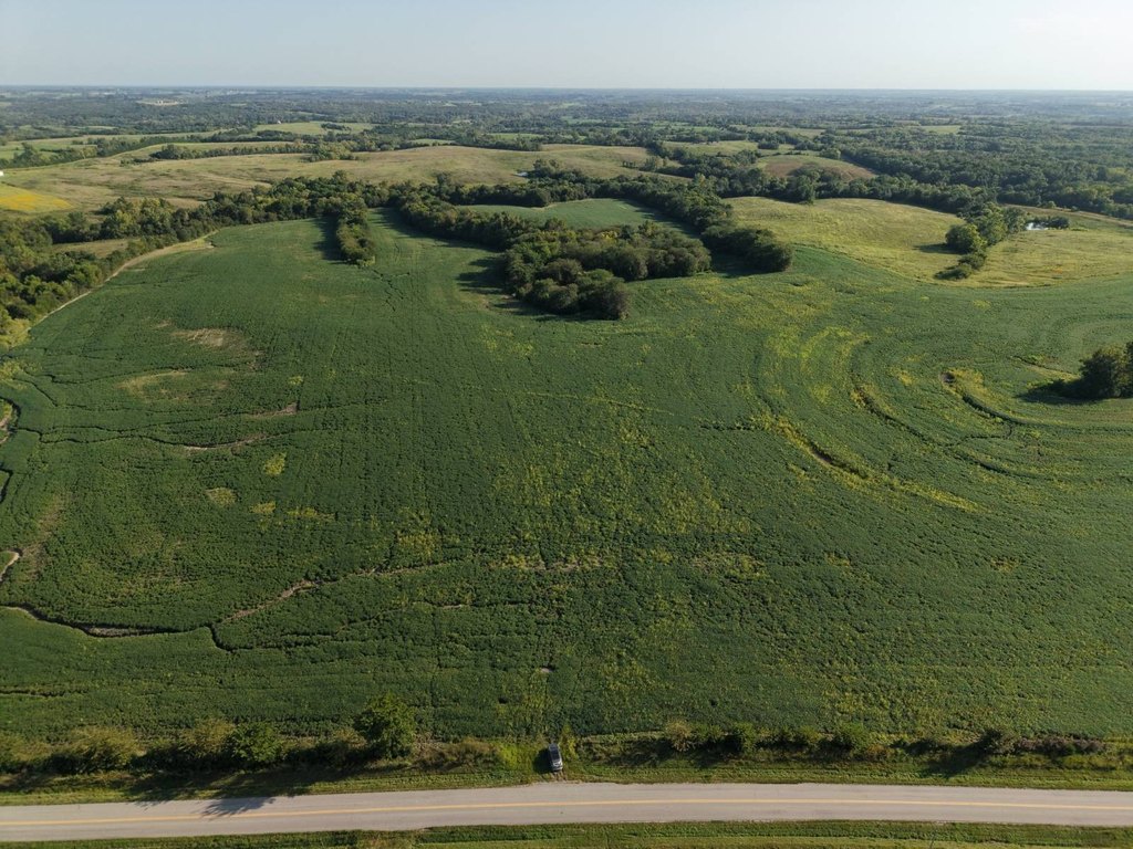
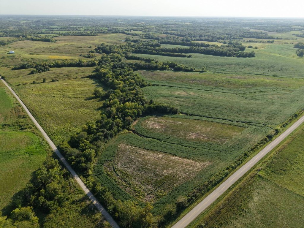
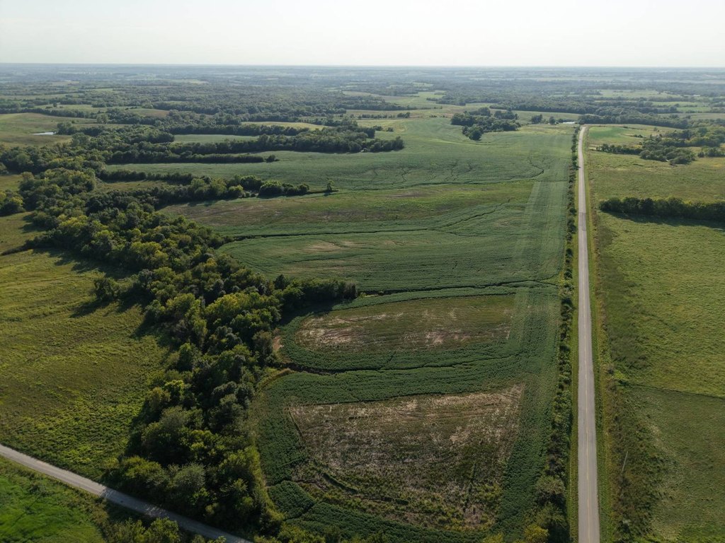
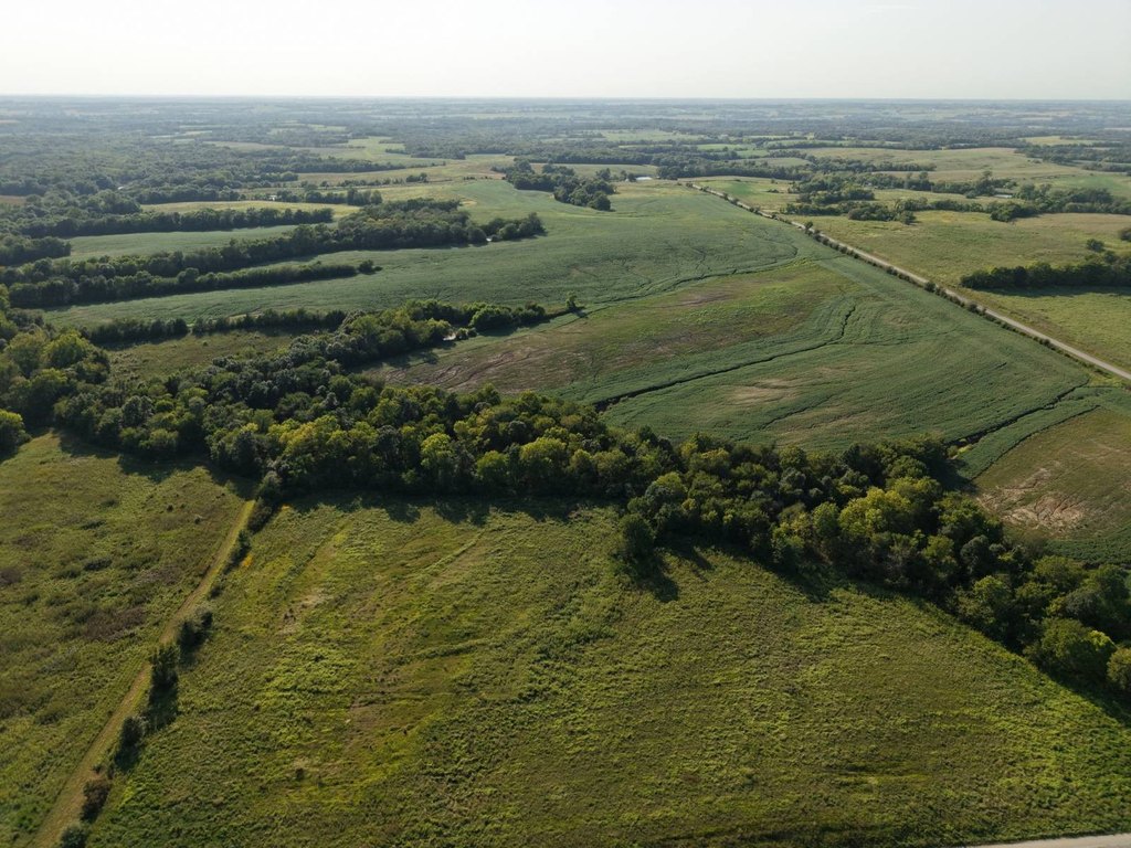
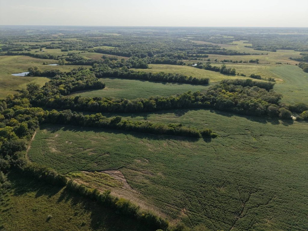
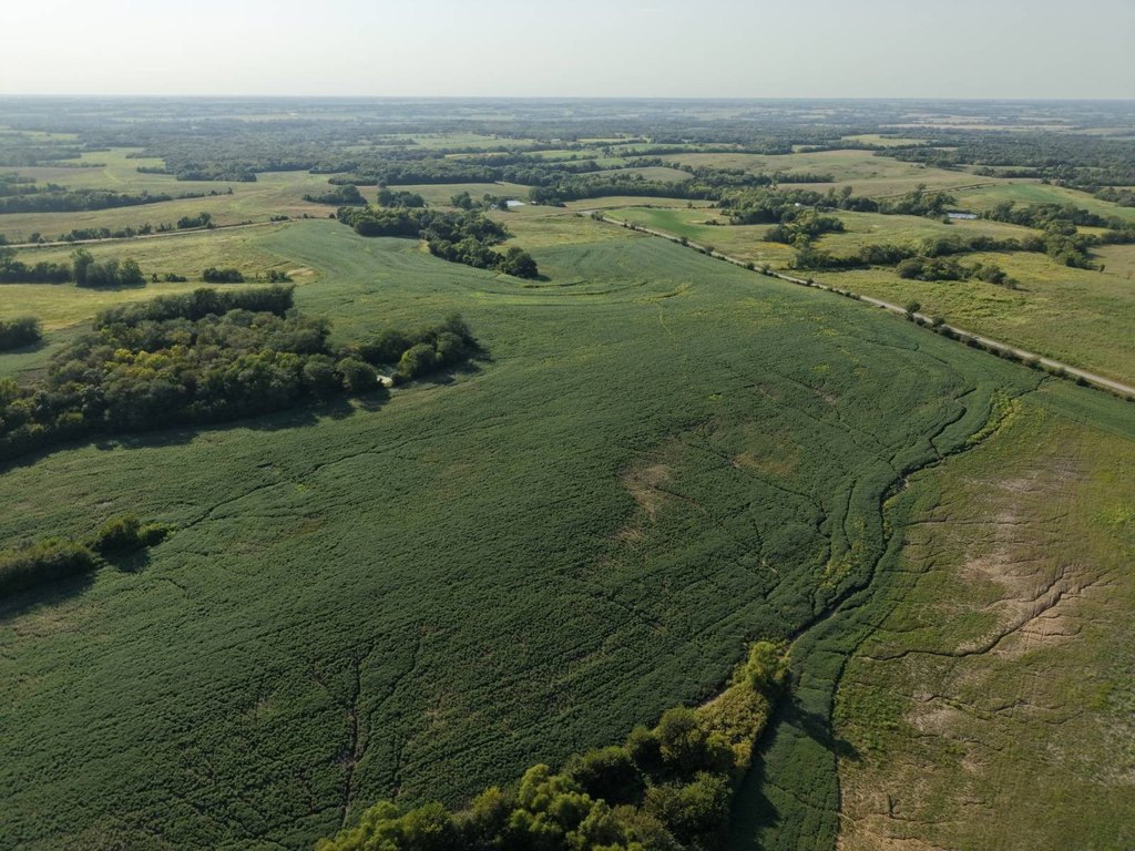
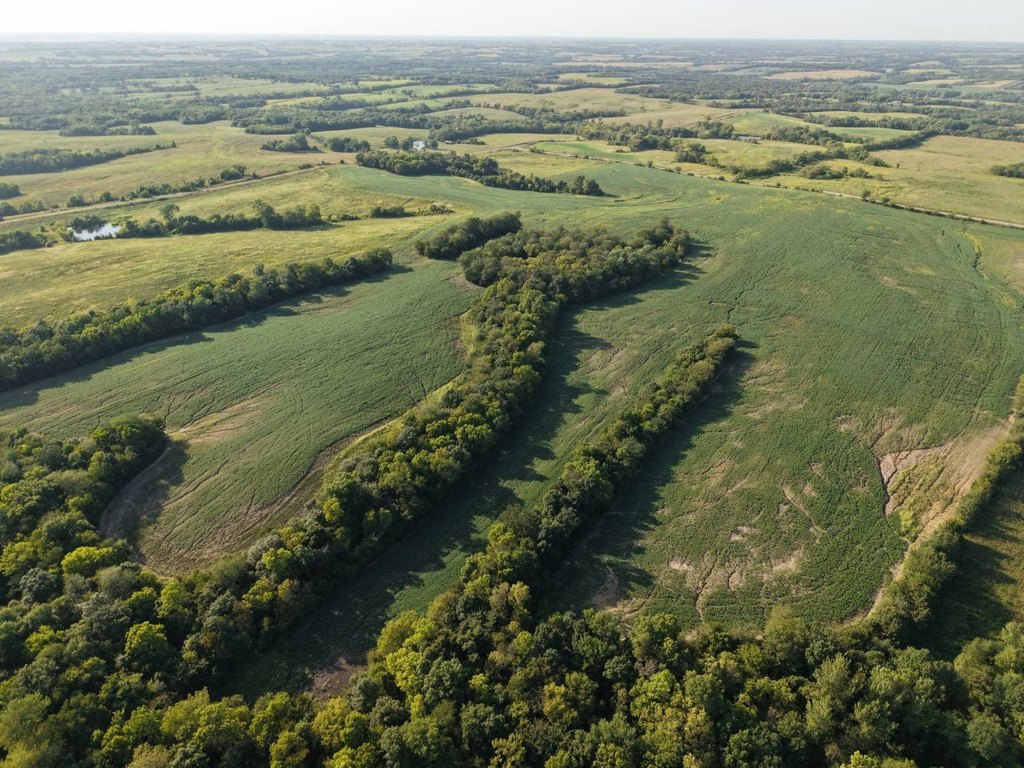
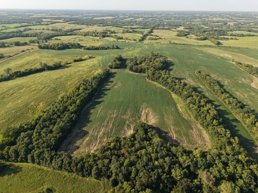
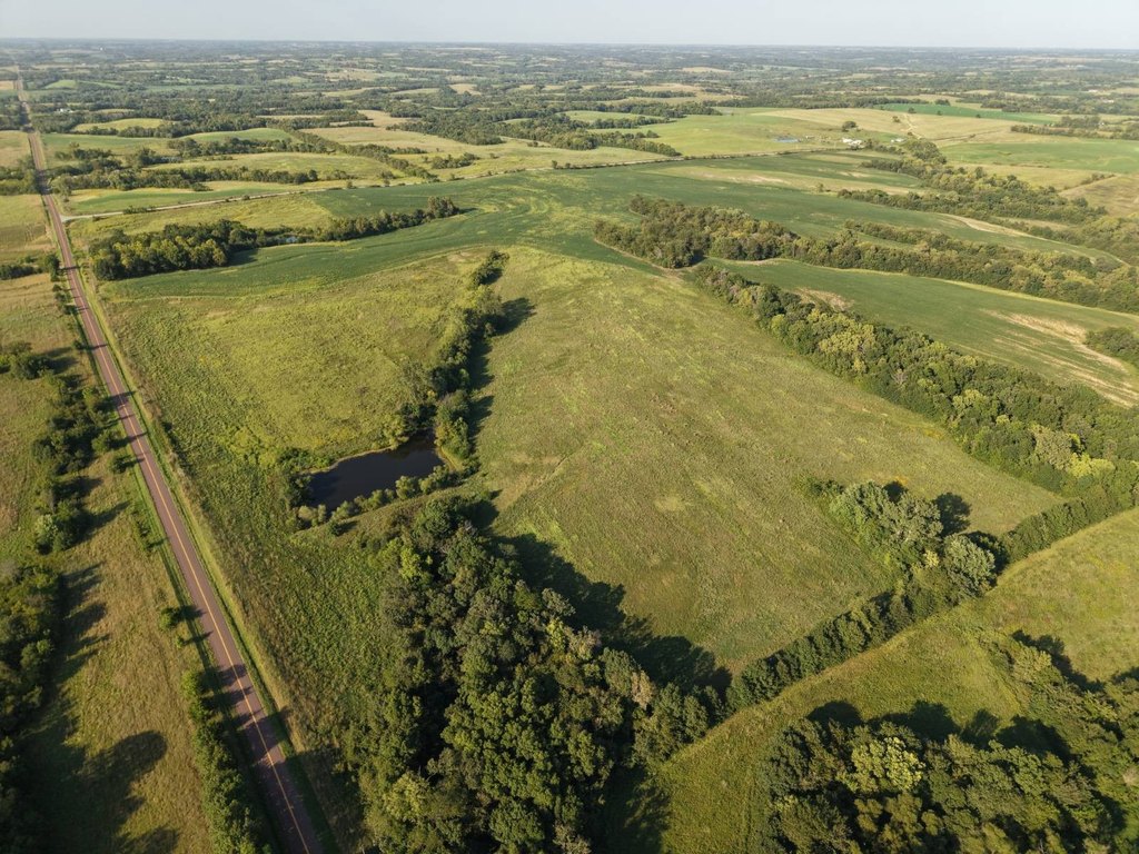
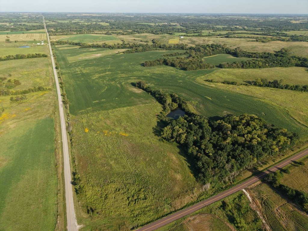
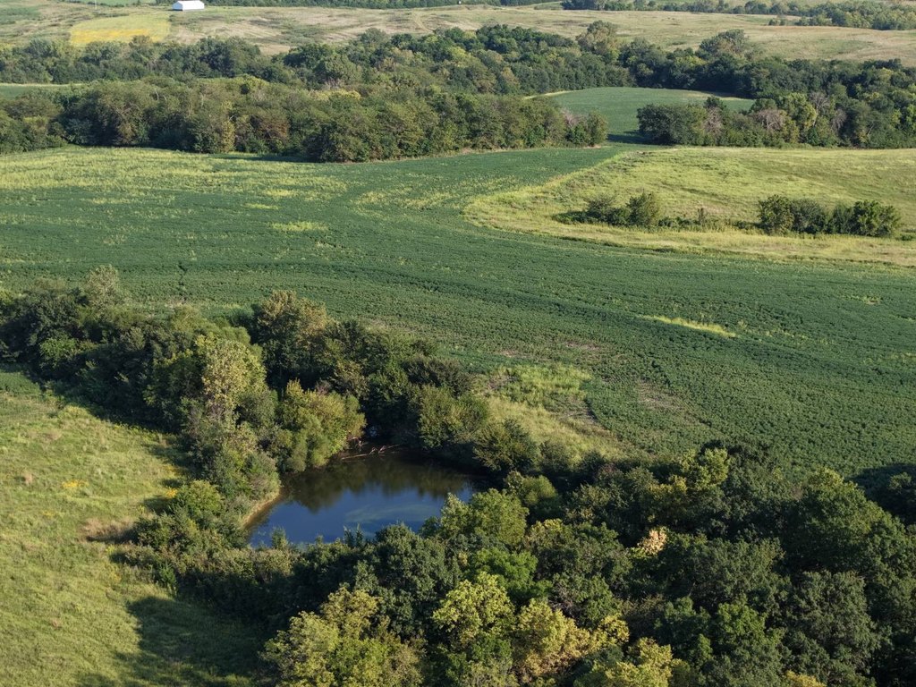
This 196-acre m/l farm includes 106 acres m/l of tillable ground, with 46.3 acres enrolled in CRP through 9/30/2031. Lamoni and Shelby loam clay comprise most of the property’s soils. No current row-crop lease is in place. Rural water access is available if a building is pursued.
The farm is approximately 8 miles north of Albany on Hwy C, with blacktop frontage along the west and north boundaries and gravel-road access on the east. Multiple timbered areas add hunting-oriented land to the agricultural acreage. The property is located in Gentry County, Missouri, near the intersection of State Hwy C and RT FF.
The farm is approximately 8 miles north of Albany on Hwy C, with blacktop frontage along the west and north boundaries and gravel-road access on the east. Multiple timbered areas add hunting-oriented land to the agricultural acreage. The property is located in Gentry County, Missouri, near the intersection of State Hwy C and RT FF.
Key Highlights
- 196 acres m/l farm in Gentry County, Missouri
- 106 acres m/l of tillable ground
- 46.3 acres enrolled in CRP until 9/30/2031
Property Analytics
Unlock full access to Insights
Subscribe to Realmo Intelligence
Open Analytics
Current Use
Lease Details
Yes
Paved road access
Location Intelligence
Demographics for 64402, MO
2,221
Population
1,132
Households
2
Avg Household Size
43
Median Age
21%
College-Educated
92%
High-School Grad
121.0 sq mi
ZIP Area
18
Density / Sq Mi
$53,661
Median Household Income
$34,150
Median Earnings
$534
Median Rent
$101,700
Median Home Value
Check the figures for this property
Cap Rate, Value Estimation, Potential NOI and more
View Realmo Analytics

Questions? Ask Rey
Realmo’s AI knows this listing — price, zoning, demand, history. Ask anything.

Frequently Asked Questions
What type of property is this?
Farm - Agricultural acreage includes tillable ground, CRP enrollment, and rural water access.
Where is this farm located?
The property is located at State Hwy C and RT FF Albany, MO.
What is the asking price?
The asking price for this property is $1,029,000.
What are key features of this property?
This property features: 196 acres m/l farm in Gentry County, Missouri; 106 acres m/l of tillable ground; 46.3 acres enrolled in CRP until 9/30/2031


