Commercial & Multifamily Development
For Sale
$1,100,000
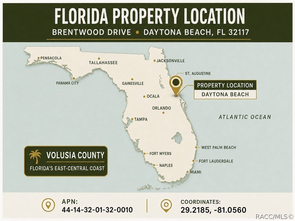
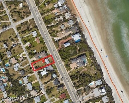
BRENTWOOD Drive, Daytona Beach, FL 32117
Land, Daytona Beach, FL
Property Size209,088 SF
Lot Size5.00 Acres
Price / SF$5.26
Days on Market157

Ask AI about this property
Review the available facts, identify missing information and prepare questions for the agent.
Property Features for BRENTWOOD Drive
General Information
Property type
Land
Property subtype
Other
Zoning
GNC
Parking features
Boat, RV
Subdivision
Not on List
Lot features
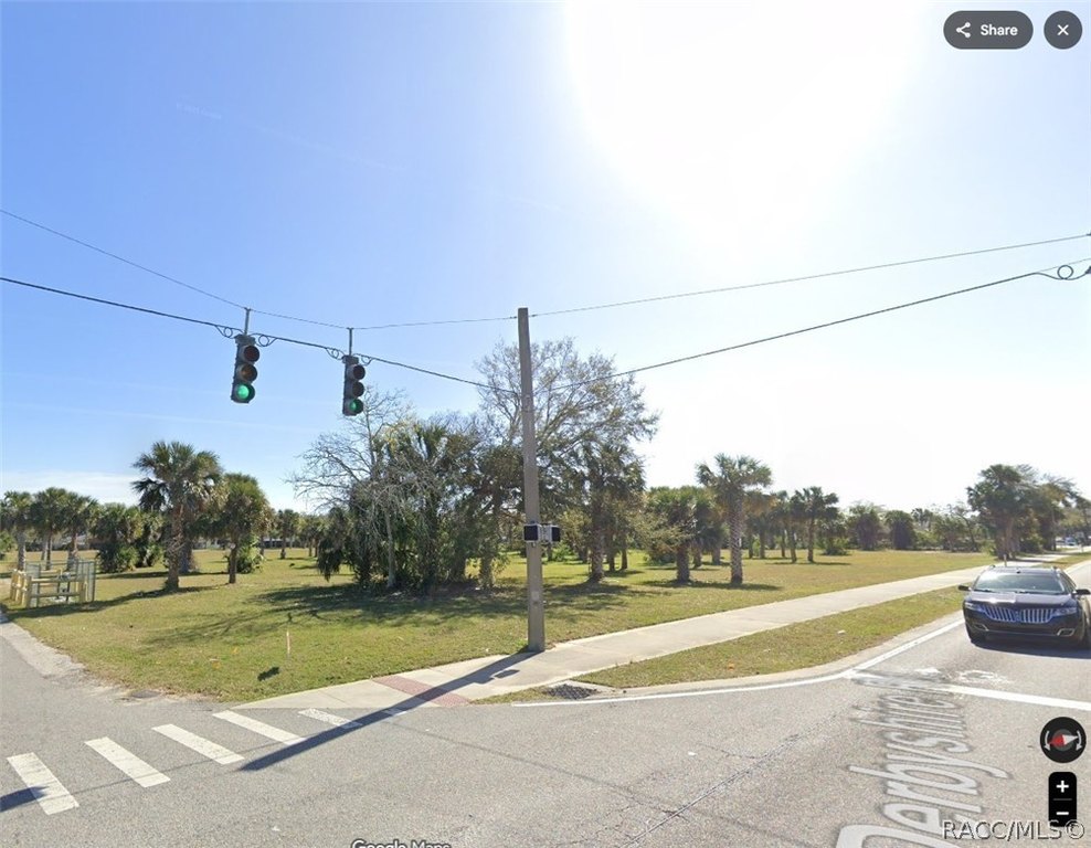
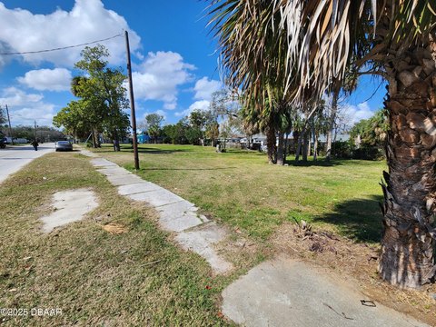
Acreage, Cleared, Corner Lot, Multiple Lots
Directions
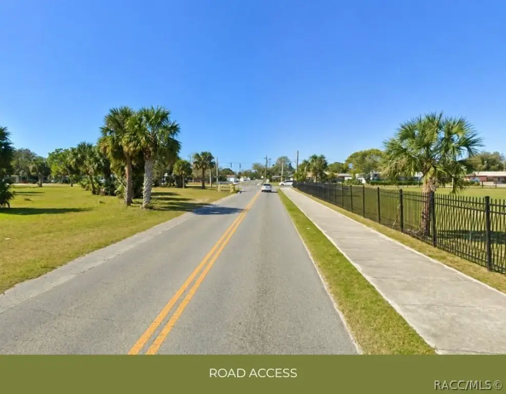
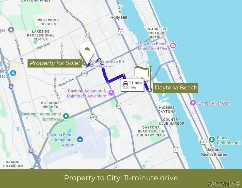
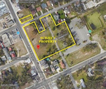
From I-95, take Exit 265 and travel east on LPGA Blvd. Turn right onto Derbyshire Rd, then left onto Brentwood Dr. The property is immediately on the right. Coordinates: 29.2185, -81.0560.
Standard status
Active
APN
424401320010
Lot size
5.00 Acres
Taxes and HOA fees
Tax Year
2025
Tax Description
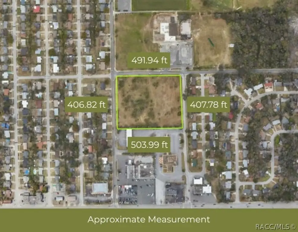
37-15-32 N 397.18 FT S OF BRENTWOOD OF W 497.73 E OF DERBYSHIRE RD LOT 1 BLK 32 MASON & CARSWELLS HOLLY HILL MB 2 PG 90 MB 12 PGS 3-4 PER OR 4405 PG 3982 PER OR 7442 PG 2386 PER OR 7689 PG 3802 PER OR 7968 PG 4537 PER OR 8451 PG 2123
Tax Annual Amount
8317
Legal Description
37-15-32 N 397.18 FT S OF BRENTWOOD OF W 497.73 E OF DERBYSHIRE RD LOT 1 BLK 32 MASON & CARSWELLS HOLLY HILL MB 2 PG 90 MB 12 PGS 3-4 PER OR 4405 PG 3982 PER OR 7442 PG 2386 PER OR 7689 PG 3802 PER OR 7968 PG 4537 PER OR 8451 PG 2123
Utilities
Sewer type
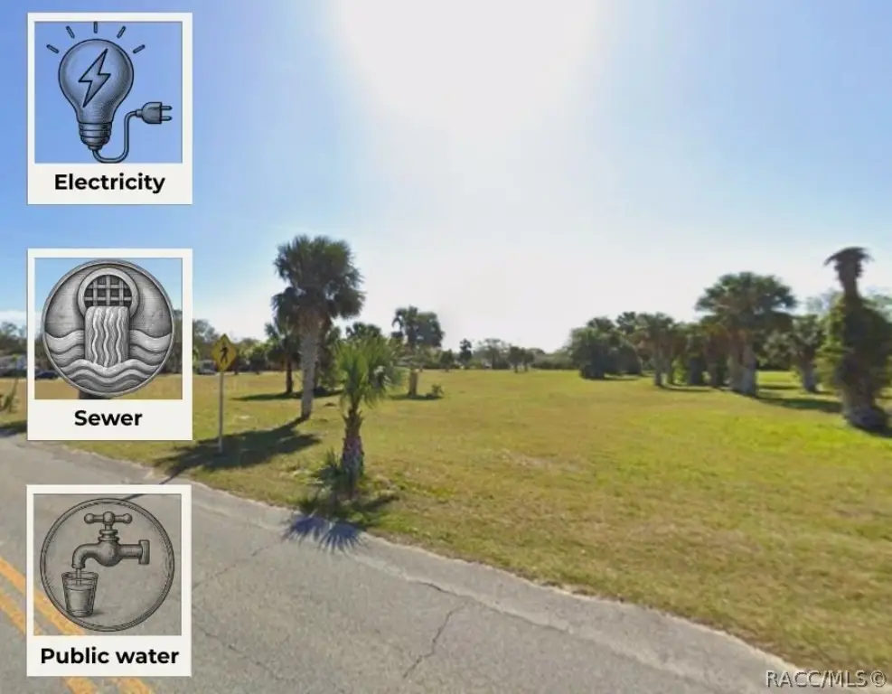
Public Sewer
Water source
Public
Listing Agency:
LPT Realty, LLC
(877) 366-2213
Listed By:
Carol Villani · License #3458094
(347) 245-2245
Added: May 12
Changed: Sep 30
Last Checked: Oct 15 at 6:06PM
MLS# 854775
Copyright © 2026 REALTORS Association of Citrus County, Inc. All rights reserved. All information provided by the listing agent/broker is deemed reliable but is not guaranteed and should be independently verified.
Investment Insights
Based on property information with market context.
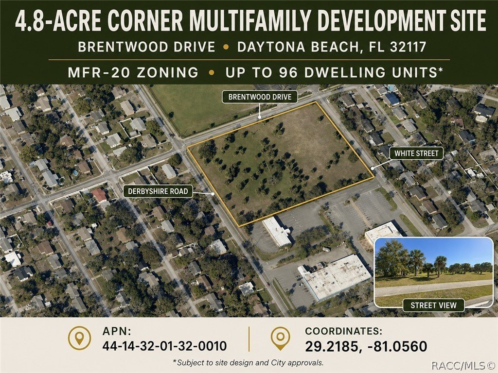
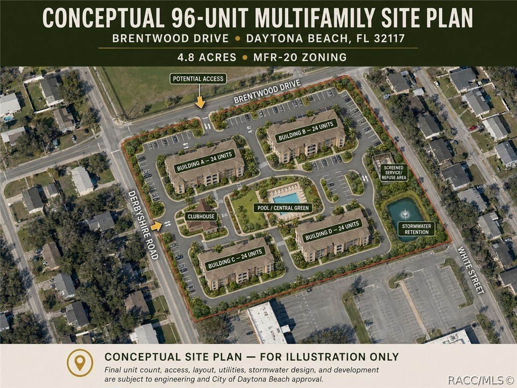
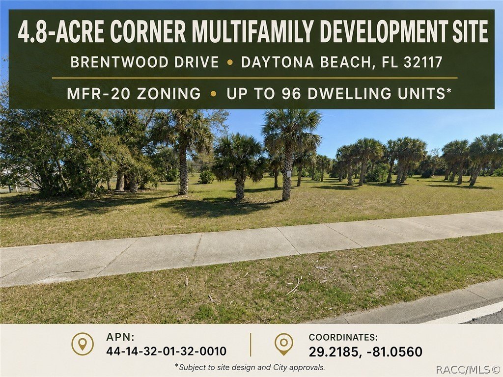
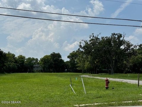
This development parcel totals approximately 4.8 acres and is positioned for commercial and multifamily residential projects. The listing describes a theoretical maximum density of about 96 dwelling units (based on 20 units per acre), subject to site design, engineering, and City of Daytona Beach approvals and verification. Development concepts referenced include multifamily apartments, senior housing, assisted living facilities, nursing homes, and related residential and institutional uses. The property may also support townhouse development depending on applicable approvals, with utilities available in the area and no HOA noted.
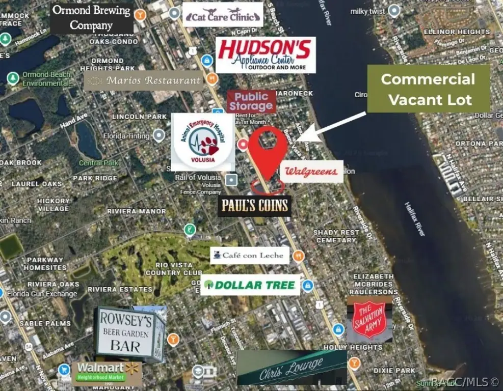
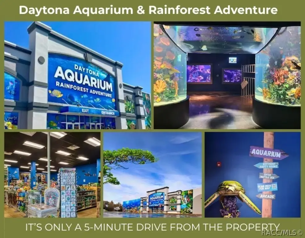
The land is located in Daytona Beach, Florida, with the listing indicating it lies in Flood Zone X, where flood insurance is generally not required by lenders. The remarks also state the parcel is within a designated Opportunity Zone. The site is described as centrally located and surrounded by residential neighborhoods and a mix of medical facilities, retail centers, restaurants, and schools, with access emphasized near major corridors including US-1 and Interstate 95, along with LPGA Boulevard and International Speedway Boulevard.
For buyers and operators, the combination of land size, broad residential-institutional use direction in the remarks, and available utilities supports a range of housing and care-oriented development approaches. Interested parties should review zoning details and feasibility with the City of Daytona Beach as approvals and permitting will determine final layout, density, and permitted program fit.
The land is located in Daytona Beach, Florida, with the listing indicating it lies in Flood Zone X, where flood insurance is generally not required by lenders. The remarks also state the parcel is within a designated Opportunity Zone. The site is described as centrally located and surrounded by residential neighborhoods and a mix of medical facilities, retail centers, restaurants, and schools, with access emphasized near major corridors including US-1 and Interstate 95, along with LPGA Boulevard and International Speedway Boulevard.
For buyers and operators, the combination of land size, broad residential-institutional use direction in the remarks, and available utilities supports a range of housing and care-oriented development approaches. Interested parties should review zoning details and feasibility with the City of Daytona Beach as approvals and permitting will determine final layout, density, and permitted program fit.
Key Highlights
- 4.8‑acre site totaling approx. 209,088 SF for commercial and multifamily development in Daytona Beach, FL
- Zoned MFR‑20 (Multifamily Residential‑20) with theoretical maximum density of approx. 96 dwelling units (subject to approvals/verification)
- Permitted development uses described include multifamily, senior housing, assisted living facilities (ALFs), nursing homes, daycare, and educational/institutional uses
Property Analytics
Unlock full access to Insights
Subscribe to Realmo Intelligence
Open Analytics
Current Use
Lease Details
96
Residential units
Yes
Highway access
Location Intelligence
Trade Area within ½ mile
782
Businesses Nearby
Explore this area
Business Placement
Demographics for 32117, FL
28,223
Population
14,392
Households
2
Avg Household Size
43
Median Age
21%
College-Educated
90%
High-School Grad
12.0 sq mi
ZIP Area
2,352
Density / Sq Mi
$52,132
Median Household Income
$32,189
Median Earnings
$1,392
Median Rent
$175,500
Median Home Value
Check the figures for this property
Cap Rate, Value Estimation, Potential NOI and more
View Realmo Analytics




Frequently Asked Questions
What type of property is this?
Land - Entitlements-focused parcel with zoning for multifamily and residential institutional uses in Daytona Beach, suited for housing and care concepts.
Where is this land located?
The property is located at BRENTWOOD Drive Daytona Beach, FL.
What is the asking price?
The asking price for this property is $1,100,000.
What are key features of this property?
This property features: 4.8‑acre site totaling approx. 209,088 SF for commercial and multifamily development in Daytona Beach, FL; Zoned MFR‑20 (Multifamily Residential‑20) with theoretical maximum density of approx. 96 dwelling units (subject to approvals/verification); Permitted development uses described include multifamily, senior housing, assisted living facilities (ALFs), nursing homes, daycare, and educational/institutional uses