Wooded Creek

For Sale
$150,000
Black Oak Road, Rock, WV 24747
Land, Rock, WV
Property SizeContact for details
Lot Size48.00 Acres
Days on Market363
Property Features for Black Oak Road
General Information
Property type
Land
Property subtype
Other
Directions
CALL LISTING OFFICE TO SCHEDULE AN APPOINTMENT TO TOUR THIS PROPERTY. From I-77 Princeton Exit 9: 10 miles +/- (approximately 20 minutes) At the end of the exit ramps of I-77 Princeton Exit 9, turn on US-460 West; travel 2.6 miles; turn right onto Ingleside Road (the large highway sign shows arrow to "Downtown Princeton" opposite direction from Mt. Horab Road); on Ingleside Road travel 7/10 mile (passing Arby's, crossing Stafford Drive, going through sharp left curve at the Church of Christ, and continuing straight) to the Mercer County Courthouse; in front of the Courthouse, turn right onto North Rt. 19; travel North Rt. 19 for 1.7 miles; a short distance past Dollar General, turn left onto Black Oak Road; travel 4.6 miles; in sharp curve left is about where property begins on both sides of the road.
Standard status
Active
Lot size
48.00 Acres
Taxes and HOA fees
Tax Annual Amount
633
Utilities
Water front features
Creek
Listing Agency:
Foxfire Realty
(304) 645-7674
Listed By:
Richard Grist
(304) 646-8837
Added: Oct 9, 2025
Changed: Sep 4
Last Checked: Oct 6 at 11:06AM
MLS# 11614153
Copyright © 2026 My State MLS. All rights reserved. All information provided by the listing agent/broker is deemed reliable but is not guaranteed and should be independently verified.
Investment Insights
Based on property information with market context.
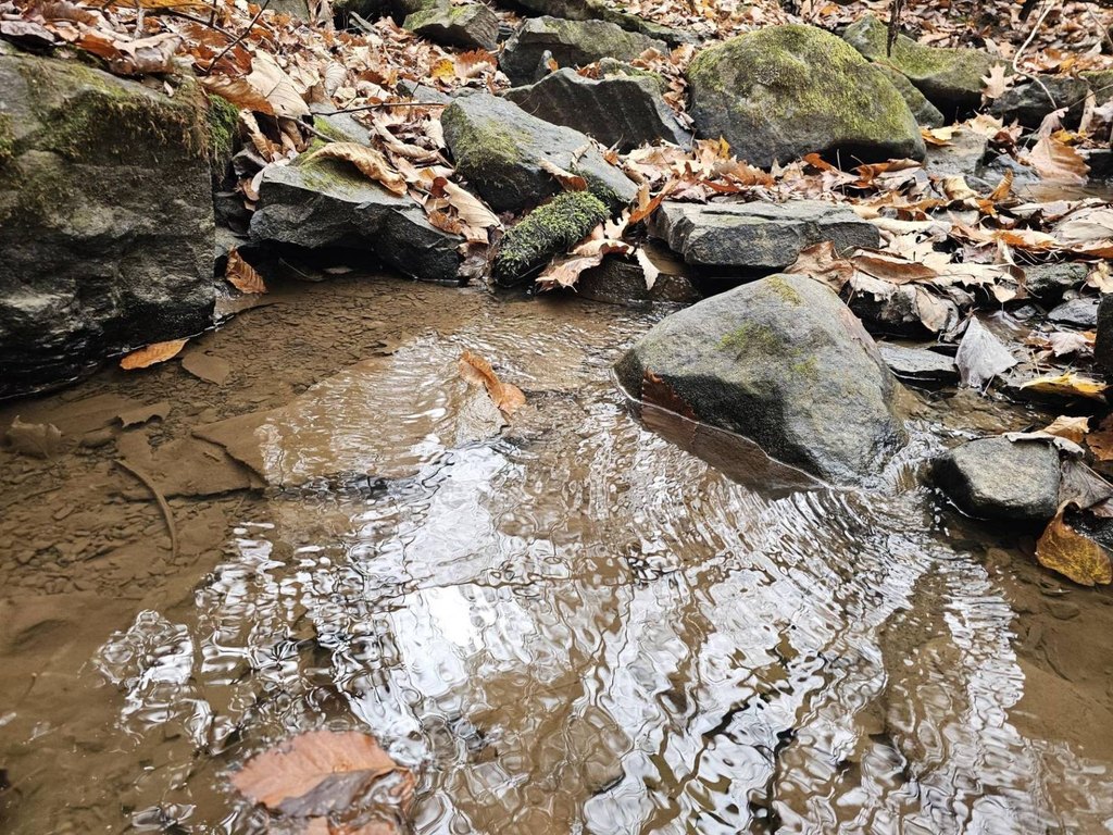
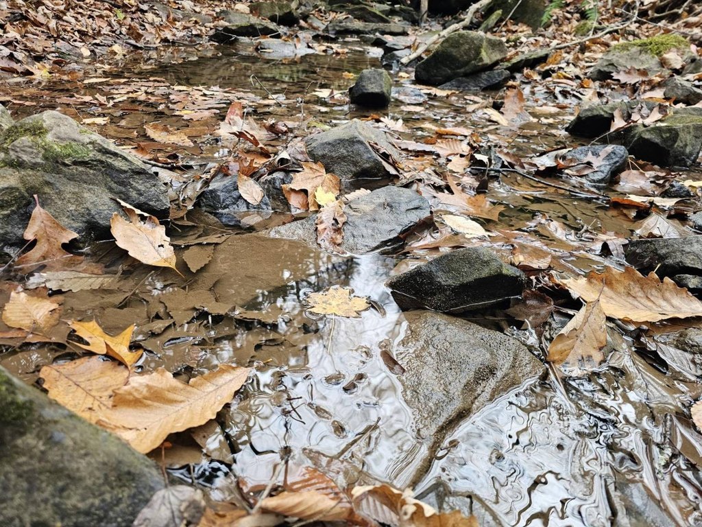
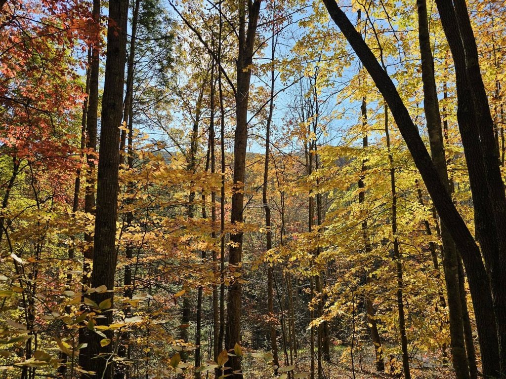
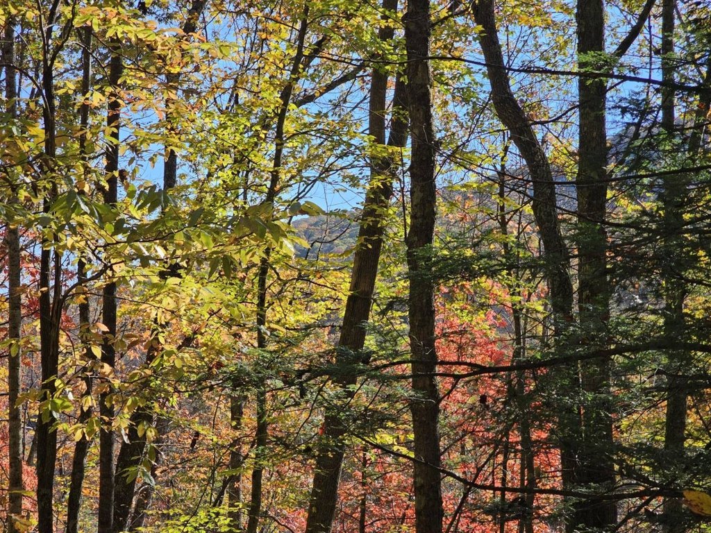
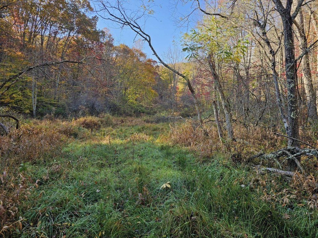
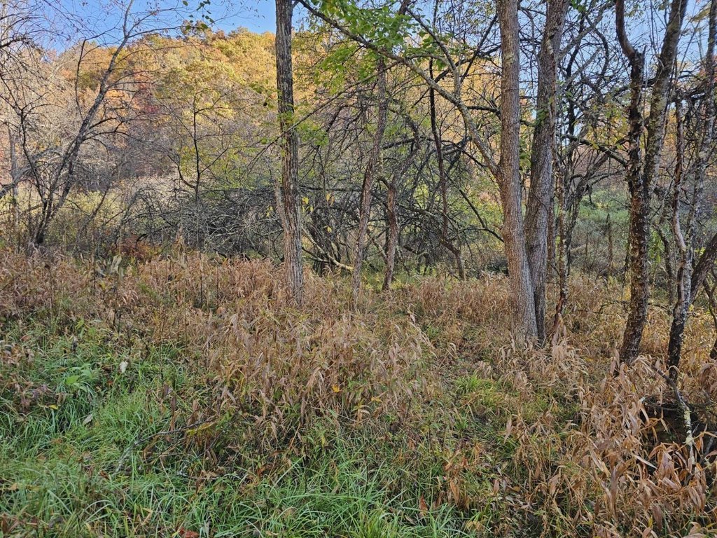
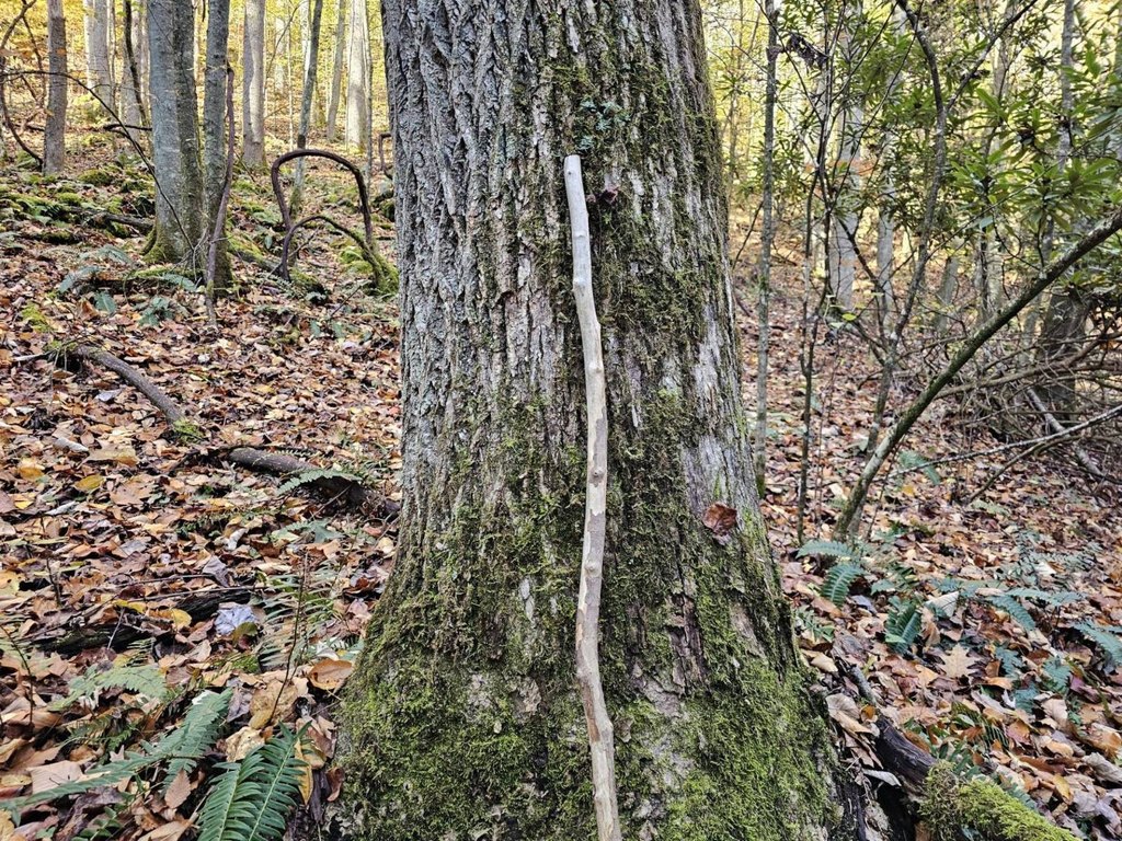
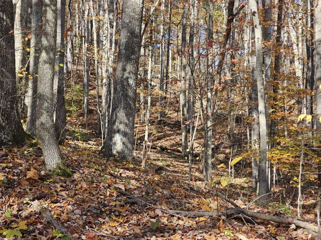
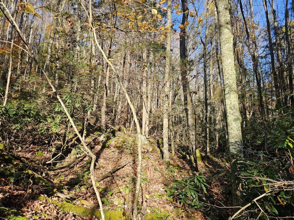
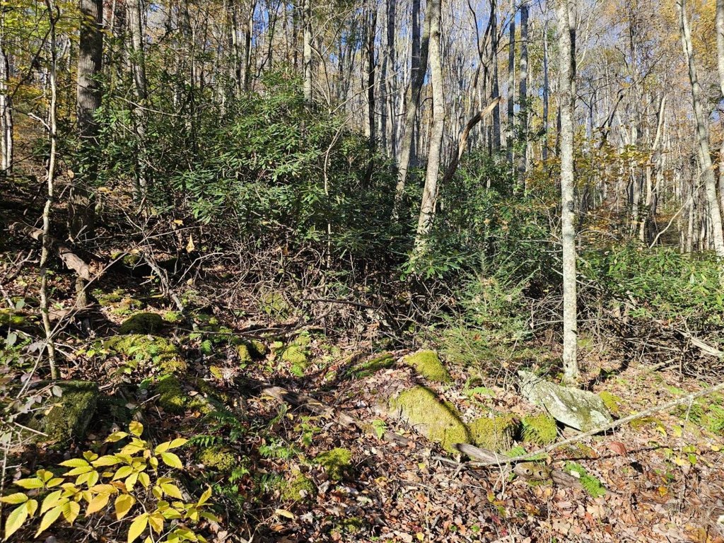
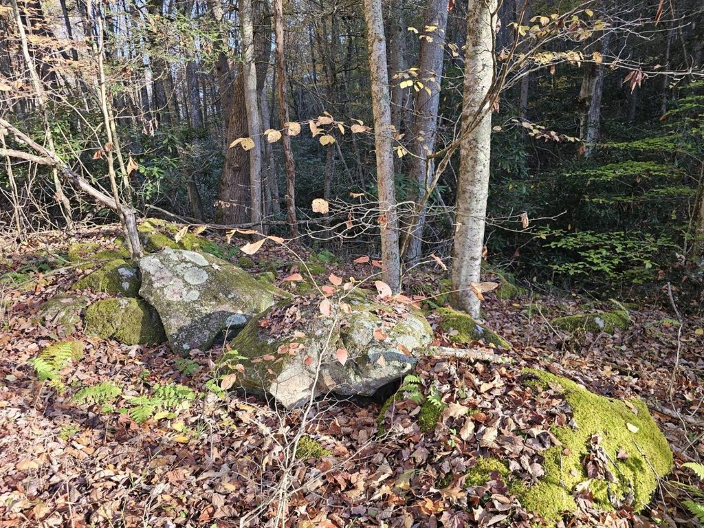
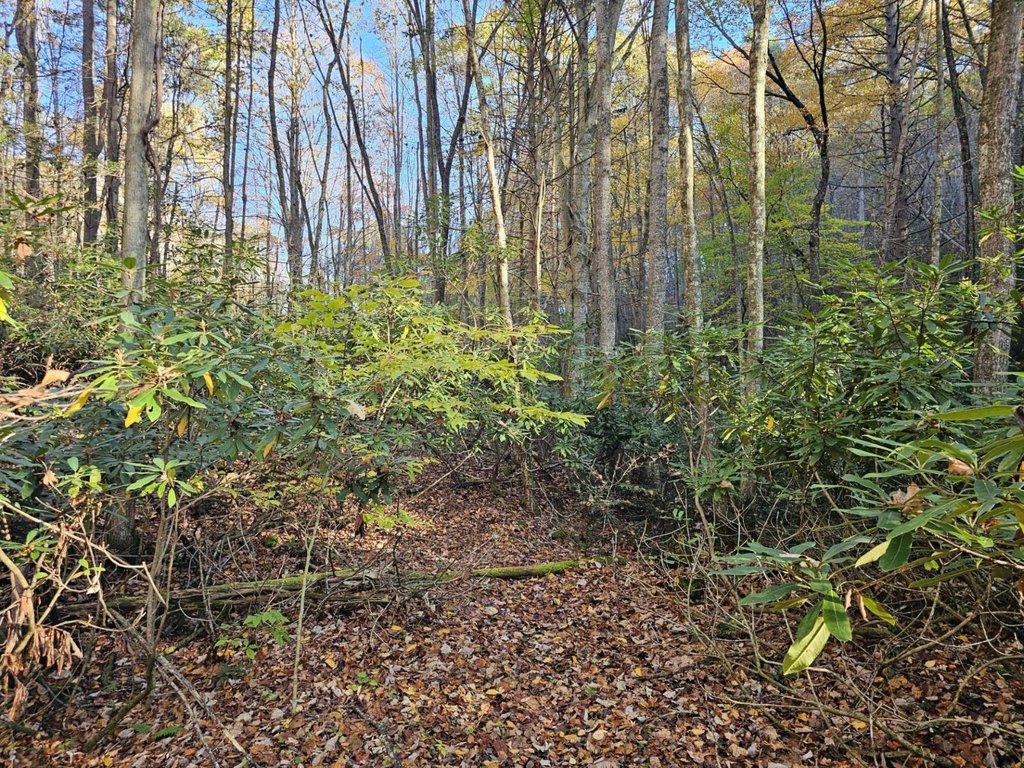
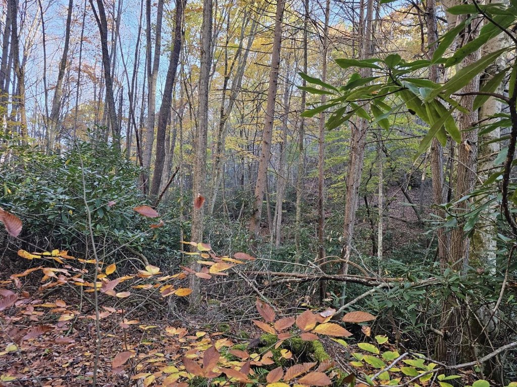
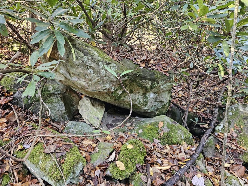
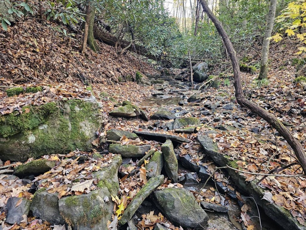
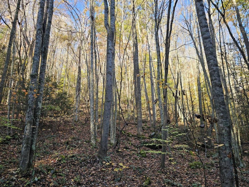
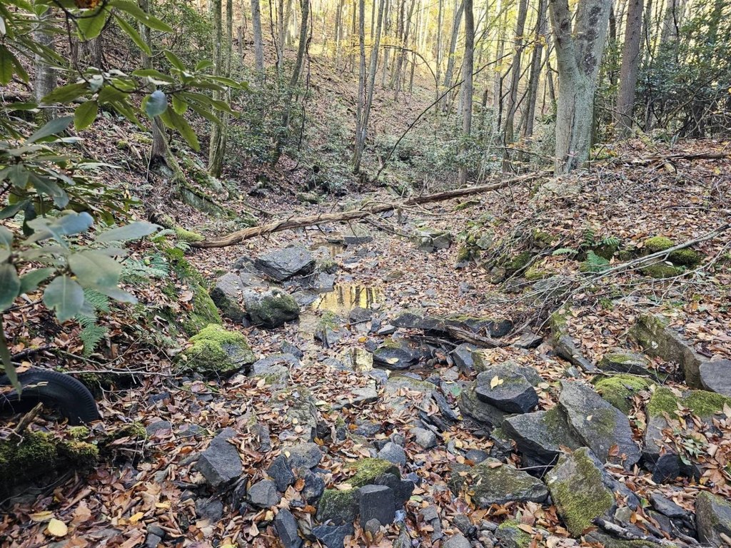
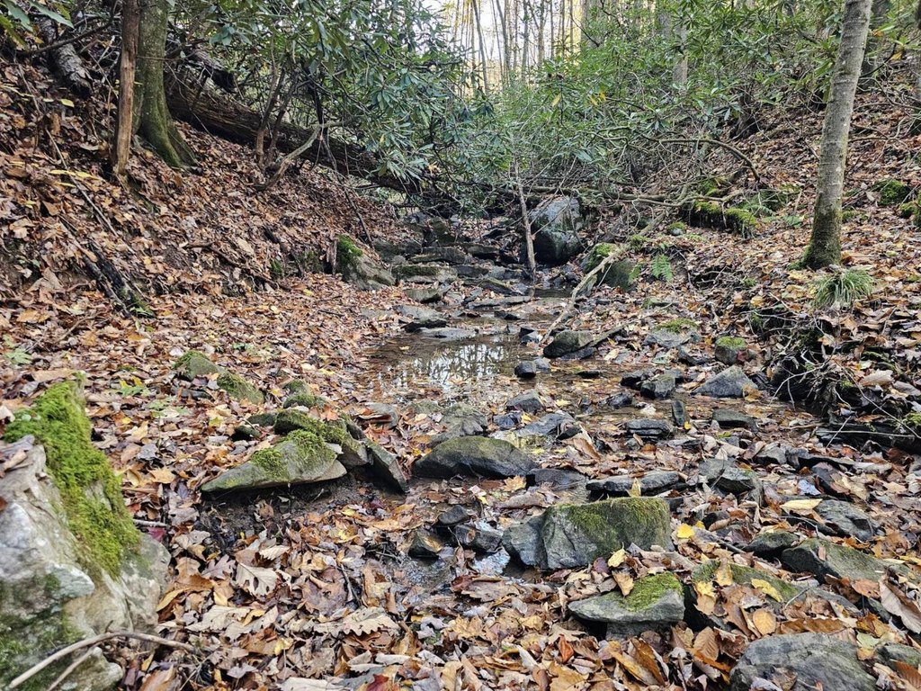
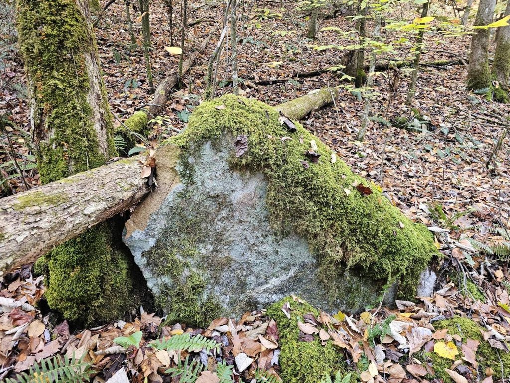
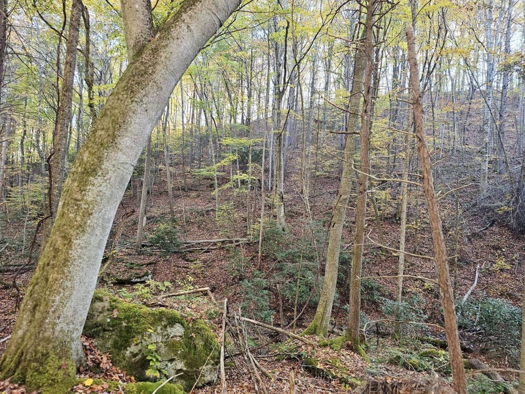
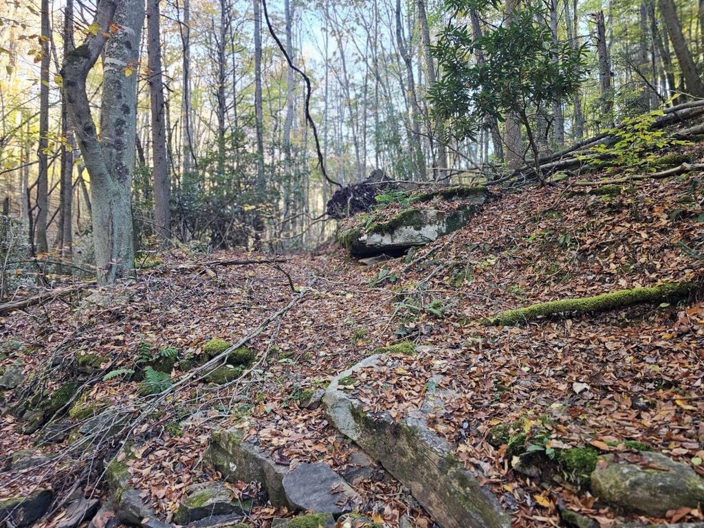
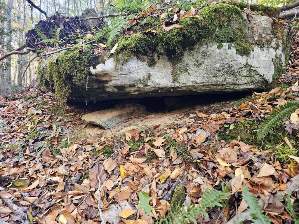
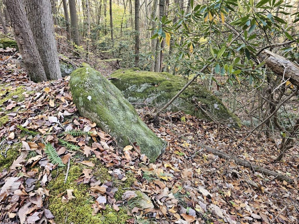
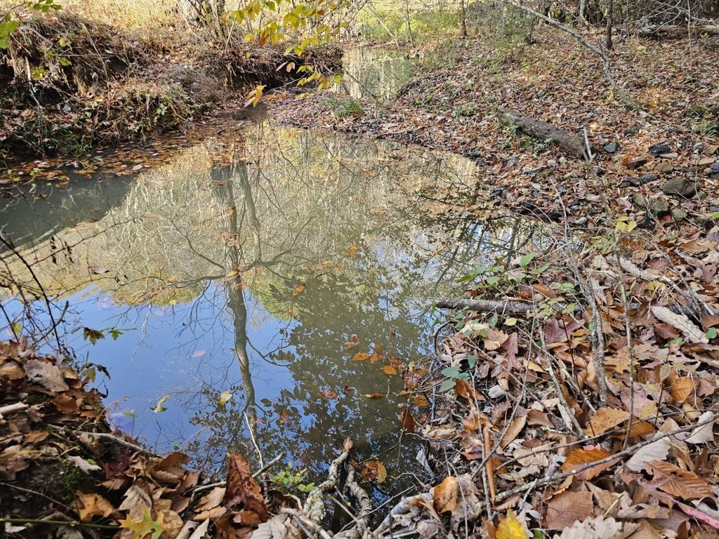
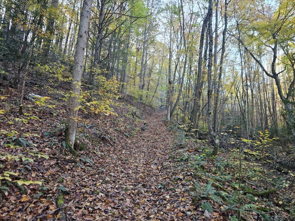
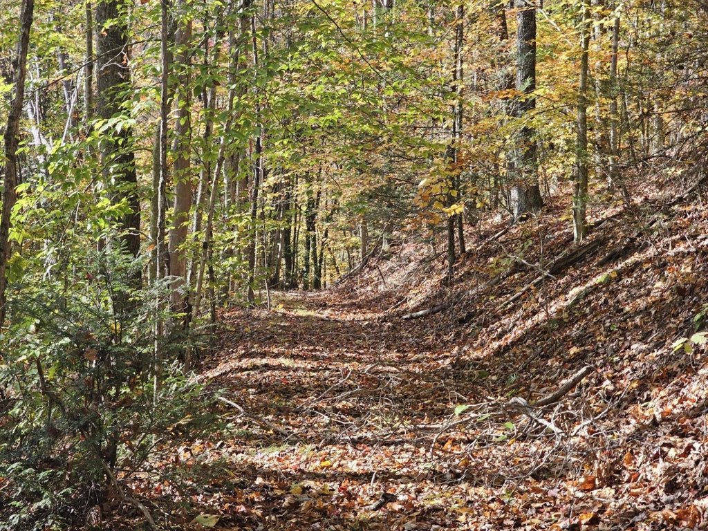
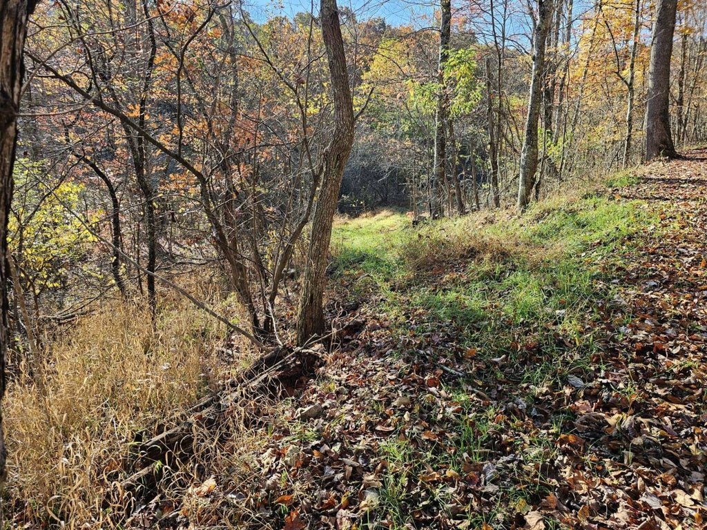
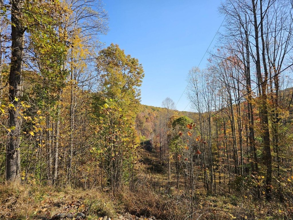
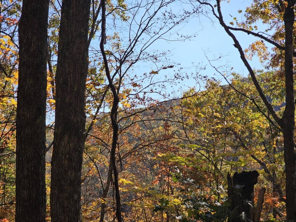
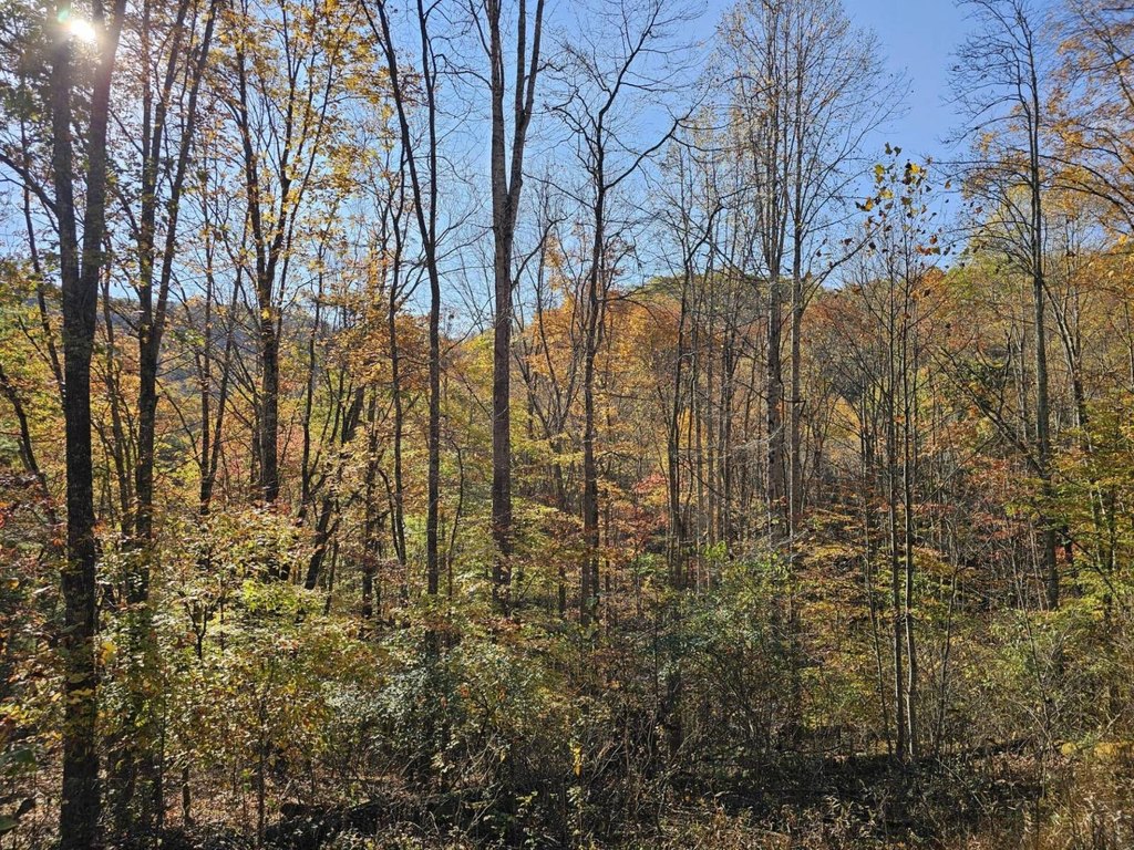
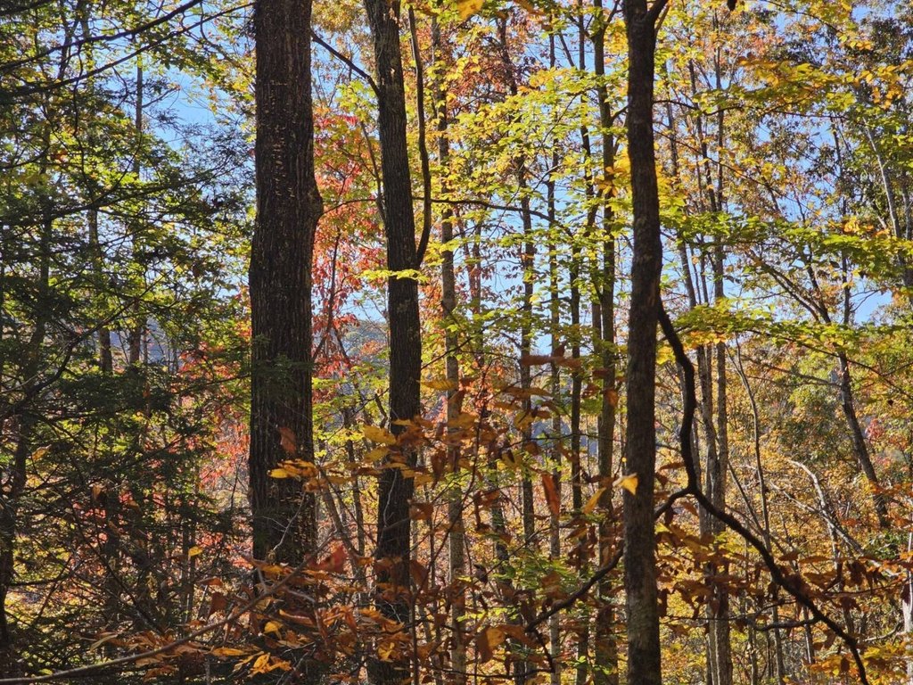
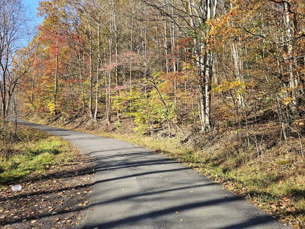
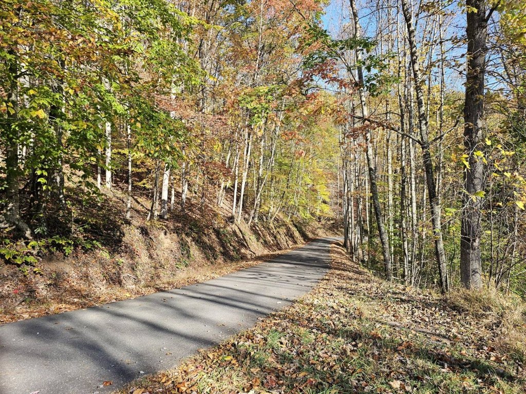
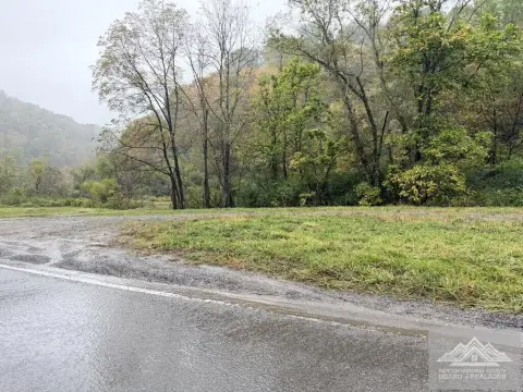
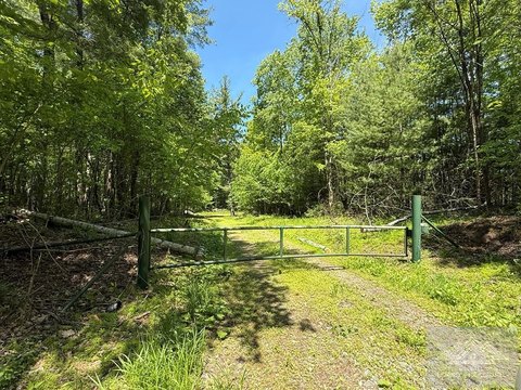
This wooded land in Mercer County includes a spring-fed creek with waterfalls, surrounding mountain and farm-field views, and elevations ranging from 2347 ft. to 2637 ft. The forest contains Hickory, White Oak, and Red Oak, with creek, hollows, ridge, and rock out-croppings forming varied habitat for wildlife. Recreational characteristics include proximity to the Bluestone River and Hatfield and McCoy Trails, while the property is also described as suitable for a getaway, recreational use, or a home.
The property is located on Black Oak Road in Rock, WV 24747, with Princeton approximately 15 minutes away and the I-77 Princeton Exit about 20 minutes away. Bluefield and Mercer County Airport are approximately 30 minutes away. Additional nearby destinations include Camp Creek State Park & Forest and Winterplace Ski Resort, each about 40 minutes away, and Pipestem Resort State Park about 50 minutes away.
The property is located on Black Oak Road in Rock, WV 24747, with Princeton approximately 15 minutes away and the I-77 Princeton Exit about 20 minutes away. Bluefield and Mercer County Airport are approximately 30 minutes away. Additional nearby destinations include Camp Creek State Park & Forest and Winterplace Ski Resort, each about 40 minutes away, and Pipestem Resort State Park about 50 minutes away.
Key Highlights
- Spring‑fed creek with waterfalls and year‑round water source
- Elevation ranges from 2347 ft. to 2637 ft. +/-
- Wooded terrain includes Hickory, White Oak, and Red Oak
Property Analytics
Current Use
Location Intelligence
Trade Area within ½ mile
3
Businesses Nearby
Explore this area
Business Placement
Demographics for 24747, WV
2,734
Population
1,499
Households
1.8
Avg Household Size
46
Median Age
7%
College-Educated
84%
High-School Grad
42.7 sq mi
ZIP Area
64
Density / Sq Mi
$45,421
Median Household Income
$29,945
Median Earnings
$914
Median Rent
$99,700
Median Home Value

Questions? Ask Rey
Realmo’s AI knows this listing — price, zoning, demand, history. Ask anything.

Frequently Asked Questions
What type of property is this?
Land - Wooded land with a spring-fed creek, waterfalls, mountain views, and recreational surroundings.
Where is this land located?
The property is located at Black Oak Road Rock, WV.
What is the asking price?
The asking price for this property is $150,000.
What are key features of this property?
This property features: Spring‑fed creek with waterfalls and year‑round water source; Elevation ranges from 2347 ft. to 2637 ft. +/-; Wooded terrain includes Hickory, White Oak, and Red Oak



