Mountain View Equestrian
BERRY FARM RD lot 5 Staunton, VA 24401

For Sale
$299,900
LAND - STAUNTON, VA
Lot Size5.79 Acres
Days on Market504
Property Features for BERRY FARM RD lot 5
General Information
- Property type
- Land
- Property subtype
- Other
- Standard status
- Active
- Lot size
- 5.79 Acres
Taxes and HOA fees
- Tax Year
- 2025
- Tax Description
- TBD Lot 5 containing 5.798 Division of TM 46-18 acres, Crown Ridge Estates located on the East side of Rt. 626/Berry Farm Rd. in Augusta Co., adjoining the ACSA water pump building property.
- Tax Annual Amount
- 200
Listing Agency:
REGAL REAL ESTATE LLC
(540) 885-7500
Listed By:
WILSON FAUBER
(540) 448-1500
Added: Mar 10, 2025
Changed: Jun 10
Last Checked: Jul 26 at 9:06PM
MLS# 661708
Copyright © 2026 Greater Augusta Association of Realtors. All rights reserved. All information provided by the listing agent/broker is deemed reliable but is not guaranteed and should be independently verified.
Investment Insights
Based on property information with market context.
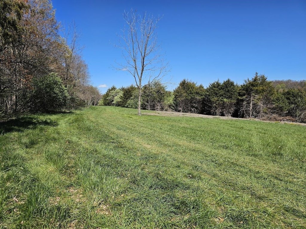
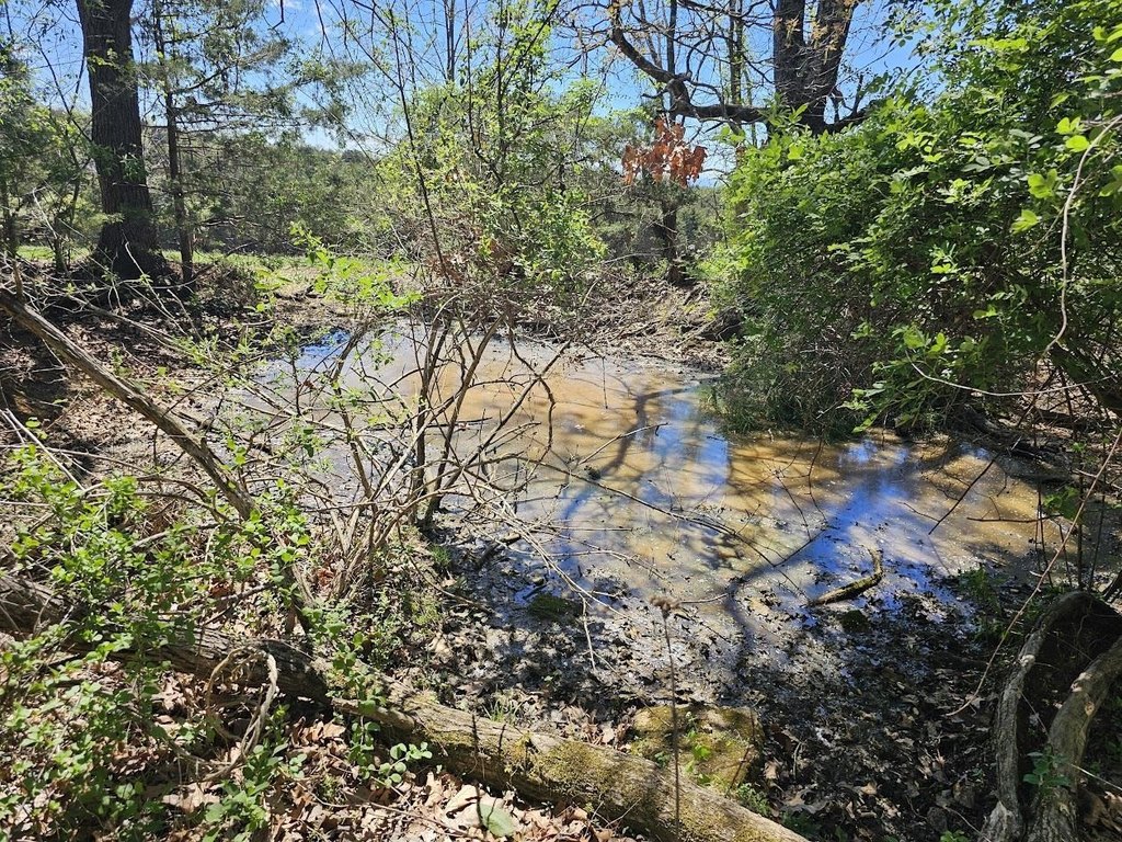
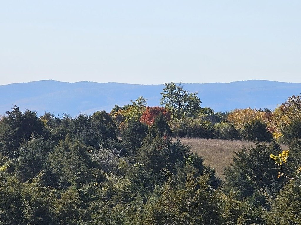
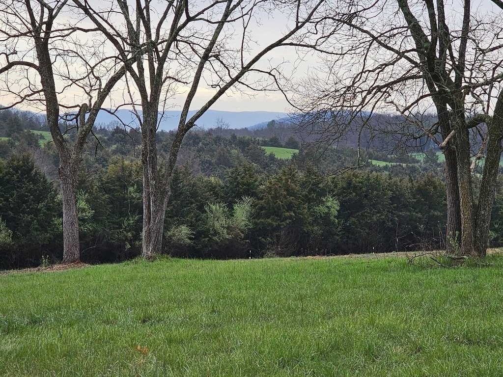
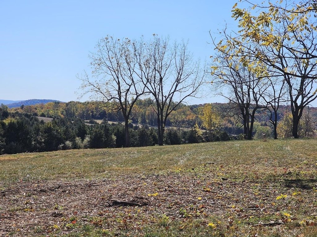
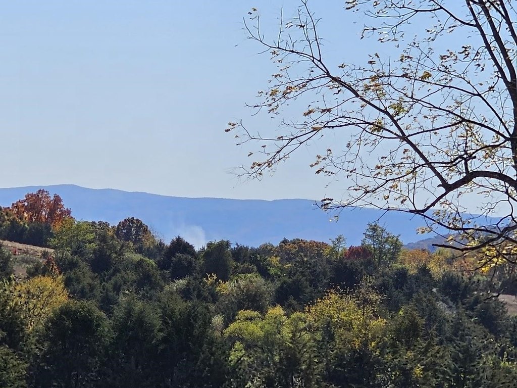
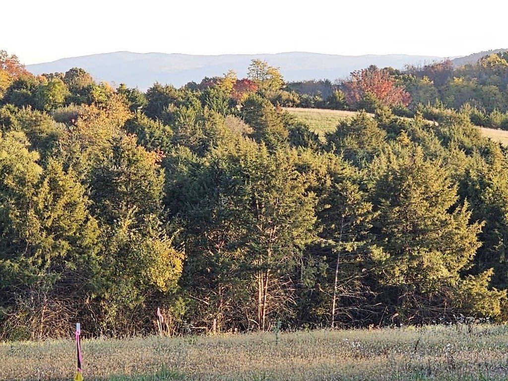
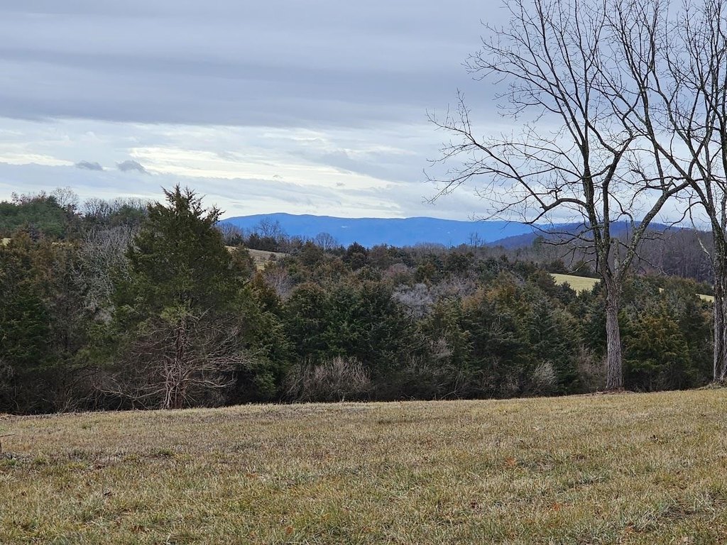
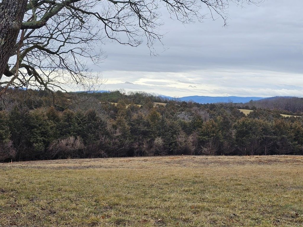
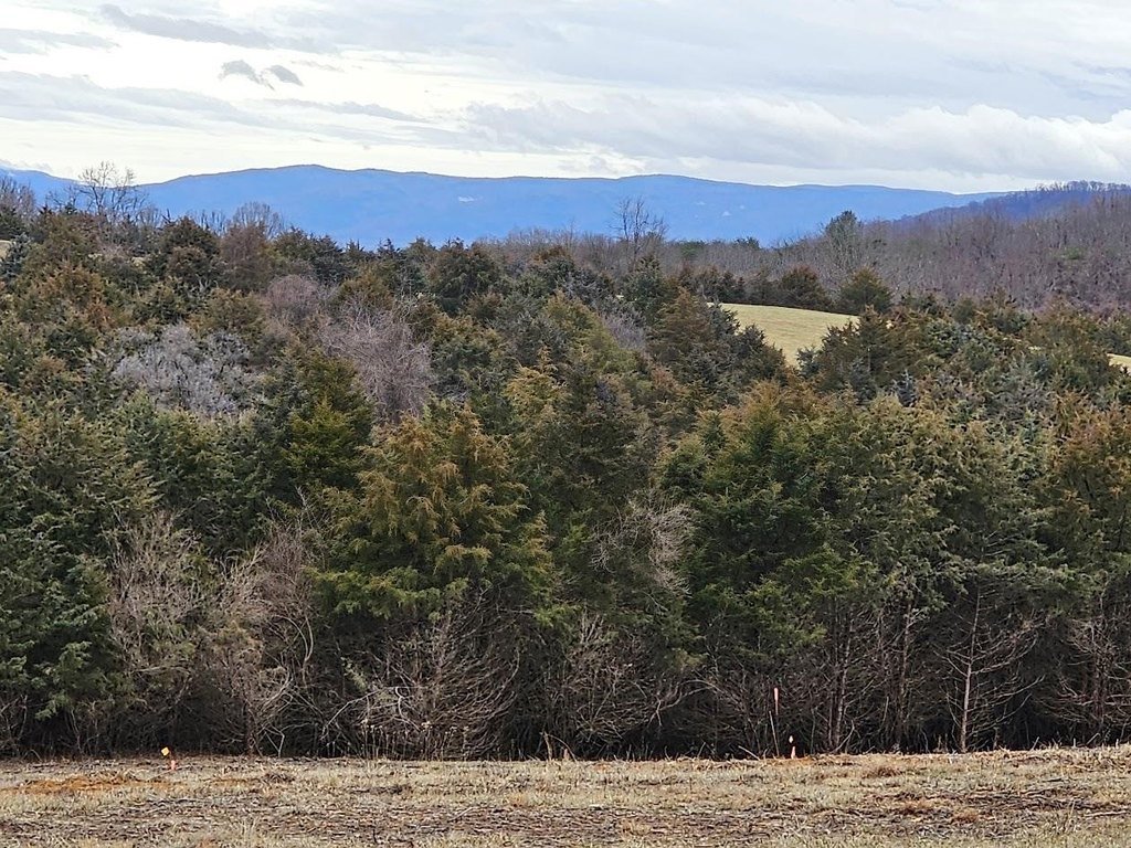
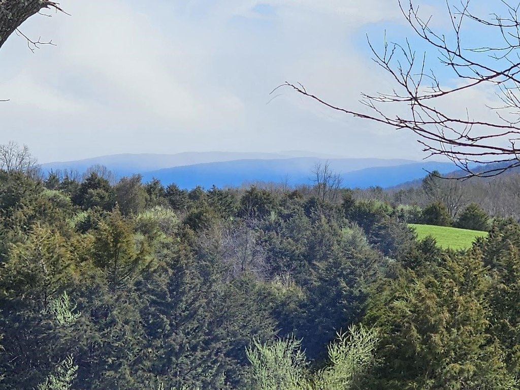
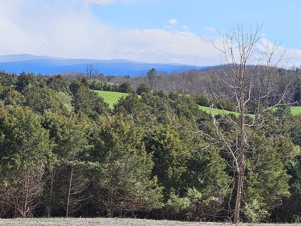
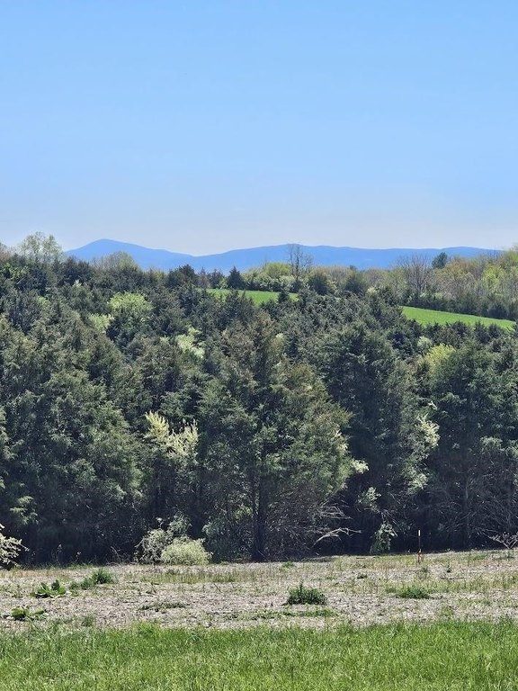
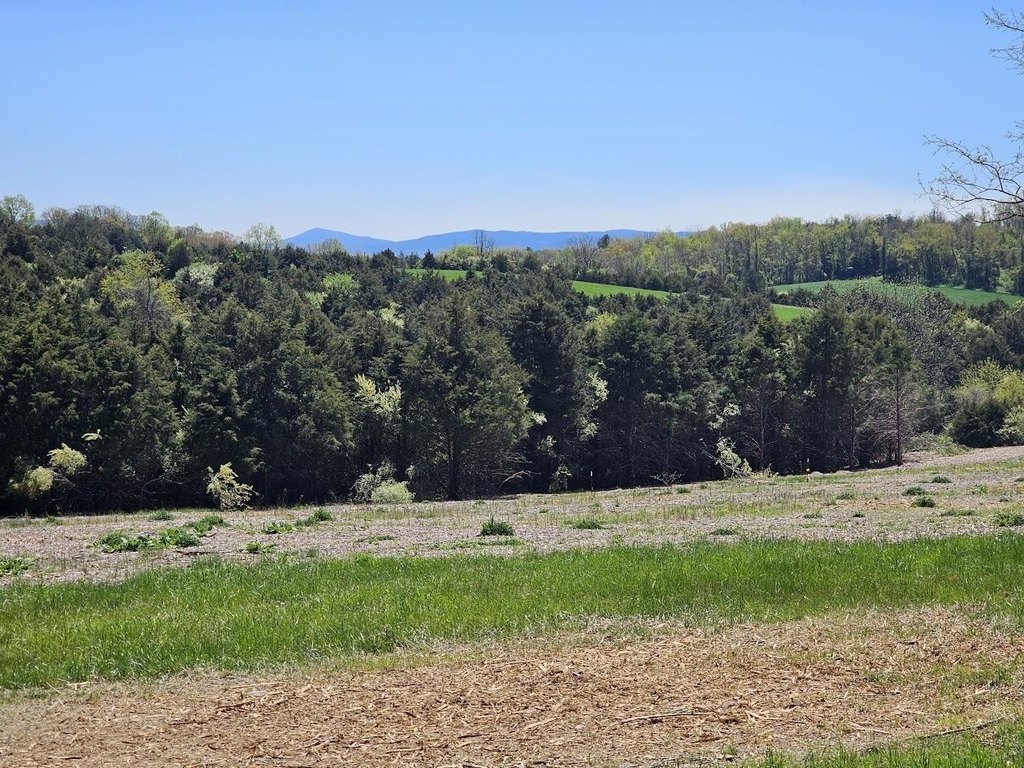
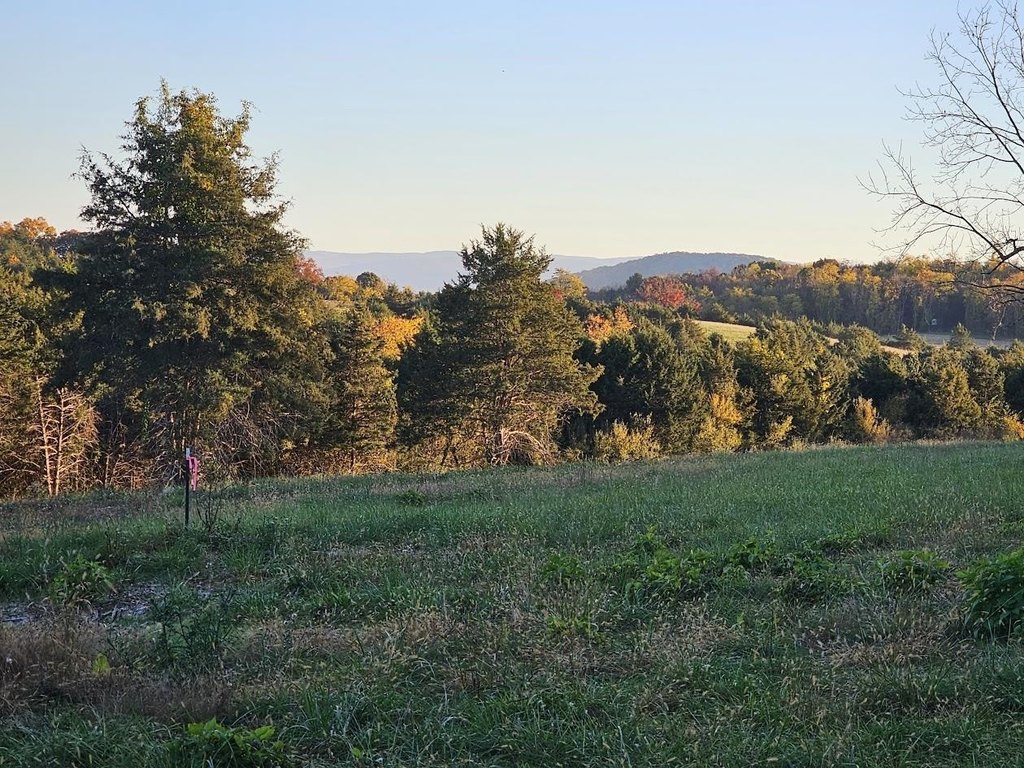
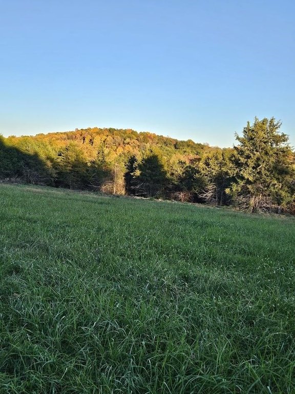
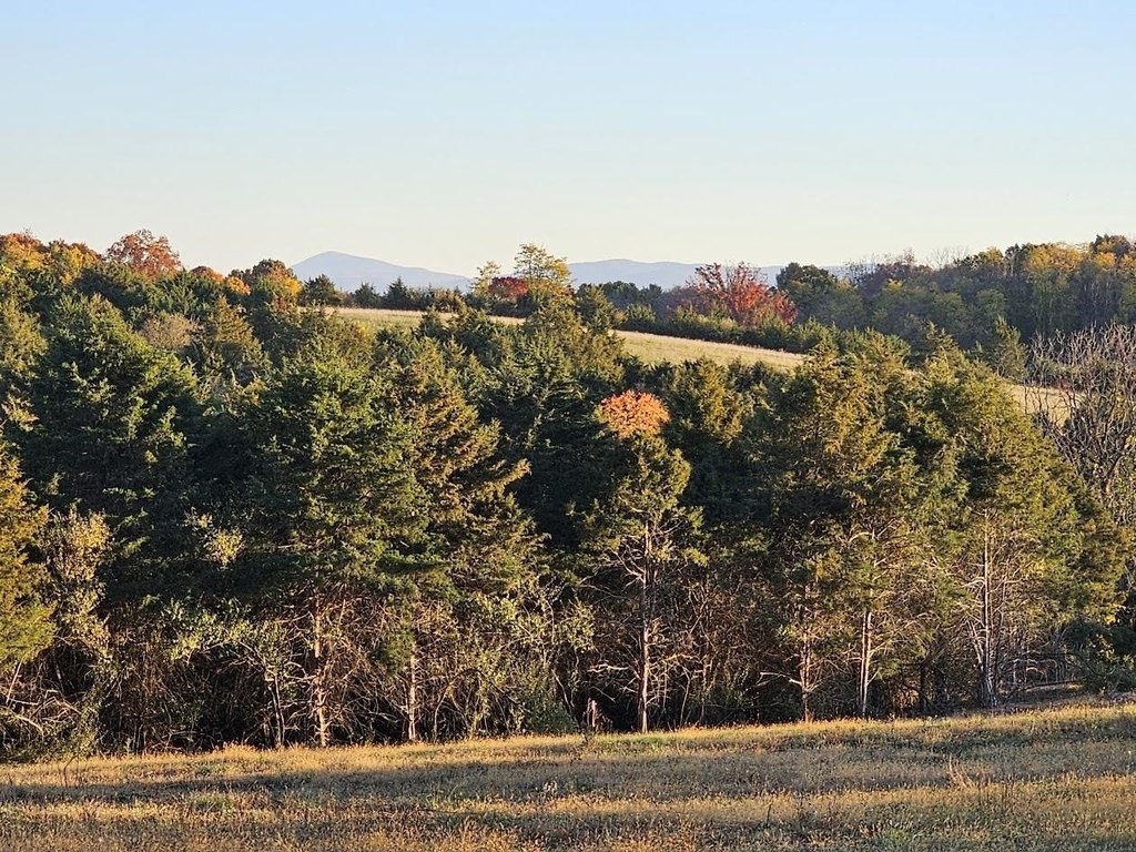
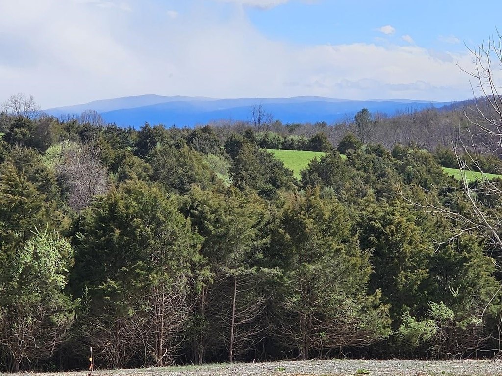
This 5.79-acre parcel features cleared, gently sloped pasture with a blend of pasture and woodlands, providing space for animals and outdoor use. The property is served by an approved VDOT entrance for a private driveway, and it includes a septic certification for a conventional gravity-flow drainfield intended to serve up to 4 bedrooms. The public county water line runs the full width of the property. Protective Covenants, Conditions, and Restrictions apply; however, there is no HOA, and only architecturally appropriate upscale homes are permitted.
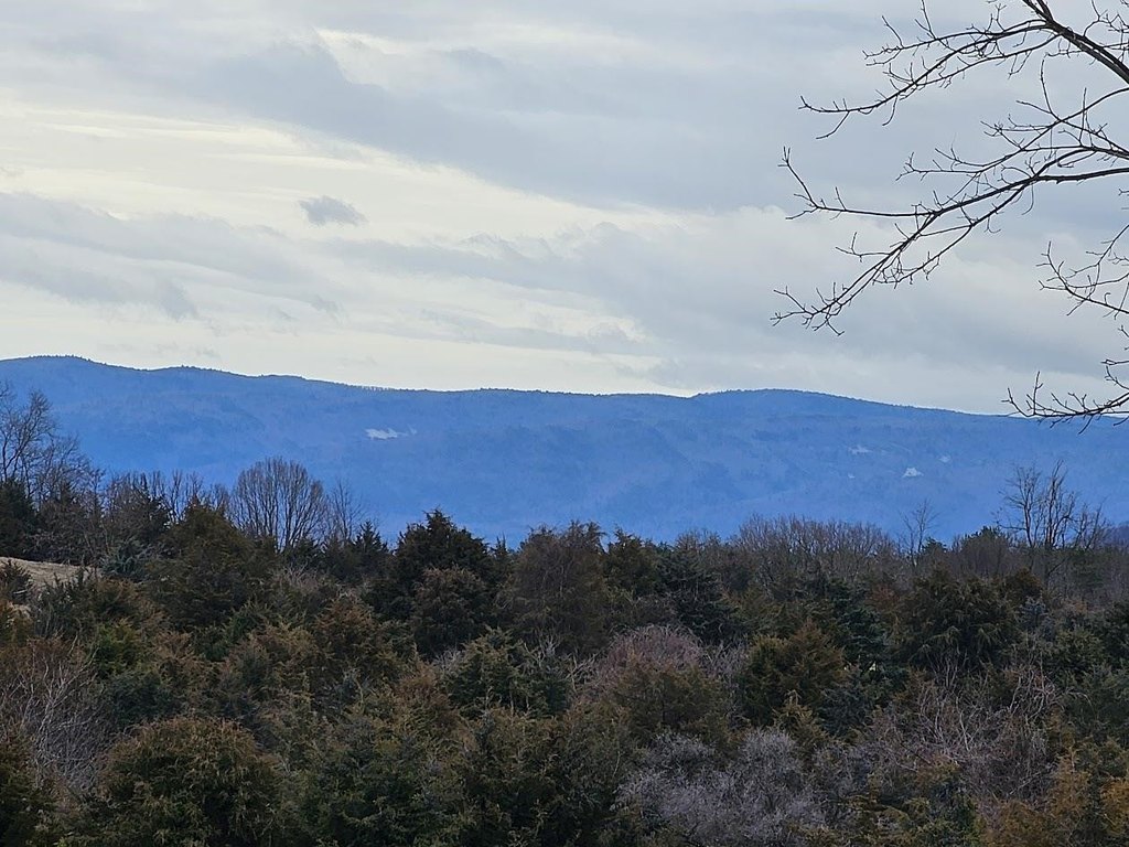
Set against Blue Ridge mountain scenery, the parcel is described as offering prominent sunrise views. The listing notes there is currently no driveway in place, and that as-is, the home would not be visible from Berry Farm Rd. Parking is available upon turning onto the 125 Berry Farm Rd driveway, and the broker can arrange a guided tour.
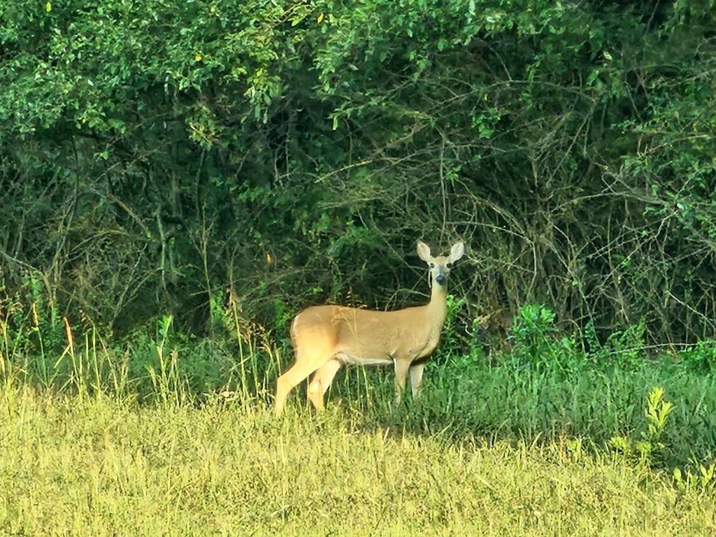
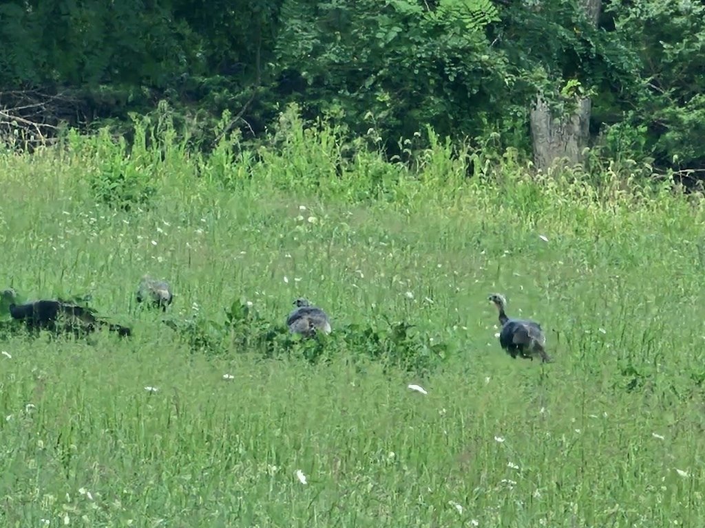
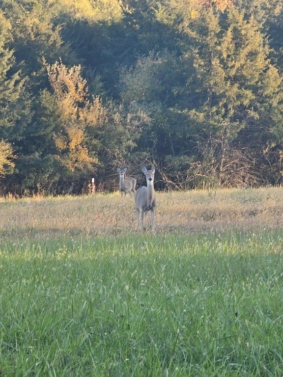
For buyers seeking a private residential estate with room for horses, llamas, or cows, this land offers the combination of usable pasture and on-site utilities planning, including water access and septic approval parameters. The approved entrance supports private driveway development, while the governing covenants define the type of improvements allowed on the property.
Set against Blue Ridge mountain scenery, the parcel is described as offering prominent sunrise views. The listing notes there is currently no driveway in place, and that as-is, the home would not be visible from Berry Farm Rd. Parking is available upon turning onto the 125 Berry Farm Rd driveway, and the broker can arrange a guided tour.
For buyers seeking a private residential estate with room for horses, llamas, or cows, this land offers the combination of usable pasture and on-site utilities planning, including water access and septic approval parameters. The approved entrance supports private driveway development, while the governing covenants define the type of improvements allowed on the property.
Key Highlights
- Approved VDOT entrance for a private driveway; no driveway currently in place and parking available on the 125 Berry Farm Rd. driveway
- Septical certification for a conventional gravity‑flow drainfield serving up to 4 bedrooms
- Public county water line runs the full width of the property
Property Analytics
Property Profile
Location Intelligence
Current Use by Public Records
Agricultural land / Farmland


FAQs
What type of property is this?
Agricultural land / Farmland - Cleared, gently sloped pasture with an approved entrance and utilities for a private estate or equestrian setup.
Where is this agricultural land / farmland located?
The property is located at BERRY FARM RD lot 5 Staunton, VA.
What is the asking price?
The asking price for this property is $299,900.
What are key features of this property?
This property features: Approved VDOT entrance for a private driveway; no driveway currently in place and parking available on the 125 Berry Farm Rd. driveway; Septical certification for a conventional gravity‑flow drainfield serving up to 4 bedrooms; Public county water line runs the full width of the property


