Riverfront Agricultural
For Sale
$675,000
Alvarado Road, Abingdon, VA 24211
Land, Abingdon, VA
Property SizeContact for details
Lot Size25.00 Acres
Days on Market95
Property Features for Alvarado Road
General Information
Property type
Land
Property subtype
Other
Zoning
Agricultural, Limited
Subdivision
Not In Subdivision
Lot features
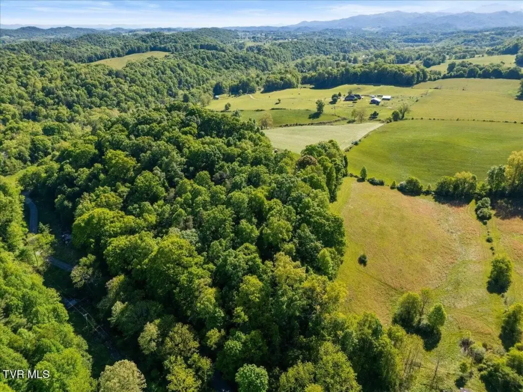
Flood Zone, Level, Pasture, Rolling Slope, Secluded, Sloped, Steep Slope, Wooded
View
Water
Elementary school
Rhea Valley
Middle school
Damascus
High school
Holston
Directions
At I-81N, Exit 19, turn right on US-58E. In about 5 mi,, turn right on Osceola Rd. Osceola Rd changes to Alvarado Rd at junction with .Saturn Dr. Pass Alvarado Station. At junction with Sweet Hollow Rd, bear left to stay on Alvarado Rd. Pass beneath trestle. Propoerty on right with sign.
Standard status
Active
APN
148 A 49b
Lot size
25.00 Acres
Taxes and HOA fees
Tax Annual Amount
1934
Utilities
Utilities
Cable Available
Sewer type
Septic Tank
Water source
Public
Water front features
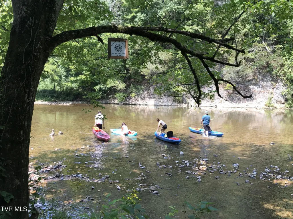
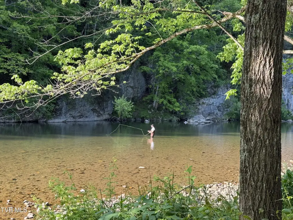
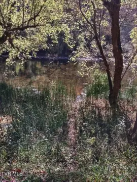
River Front
Water front
1
Building Details
Additional Structures
Greenhouse
Listing Agency:
Highlands Real Estate Sea Glass
(276) 676-2221
Listed By:
Roberta Hylton · License #0225231928 (VA) & 350712 (TN)
(276) 356-5700
Added: Jul 5
Changed: Aug 19
Last Checked: Oct 7 at 3:06AM
MLS# 9997785
Copyright © 2026 Tennessee Virginia Regional Multiple Listing Service. All rights reserved. All information provided by the listing agent/broker is deemed reliable but is not guaranteed and should be independently verified.
Investment Insights
Based on property information with market context.
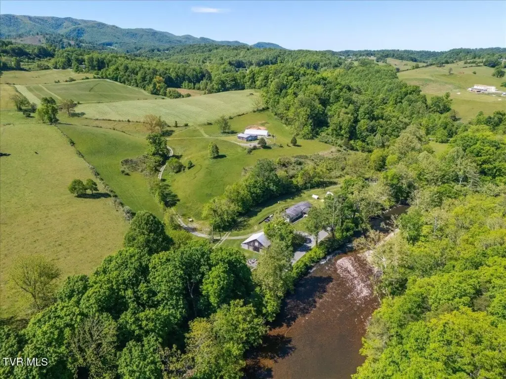
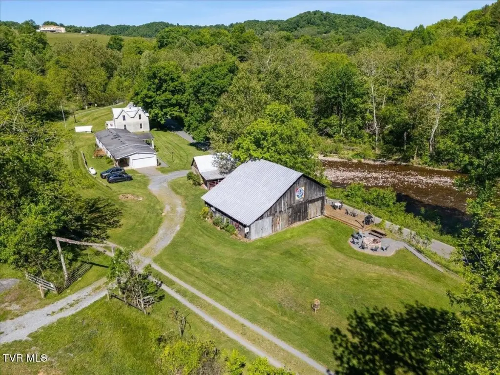
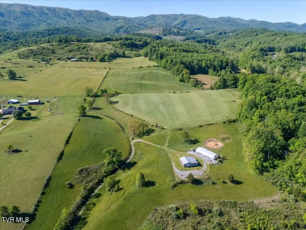
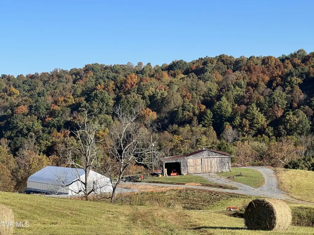
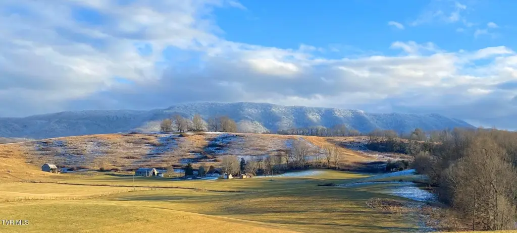
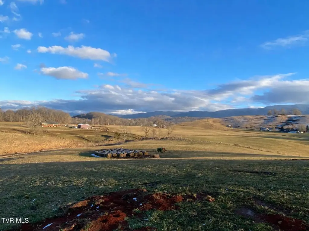
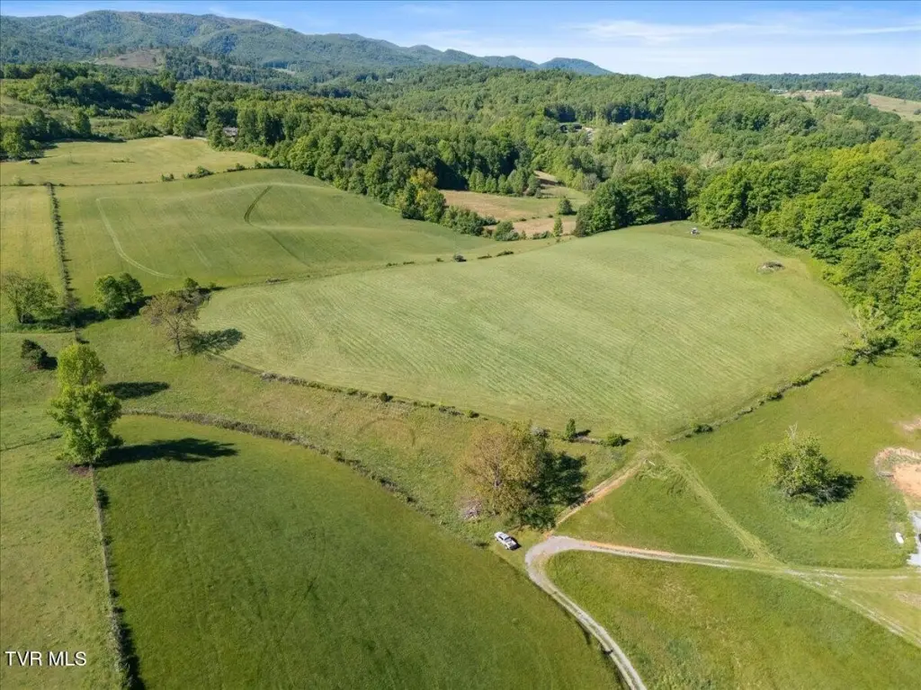
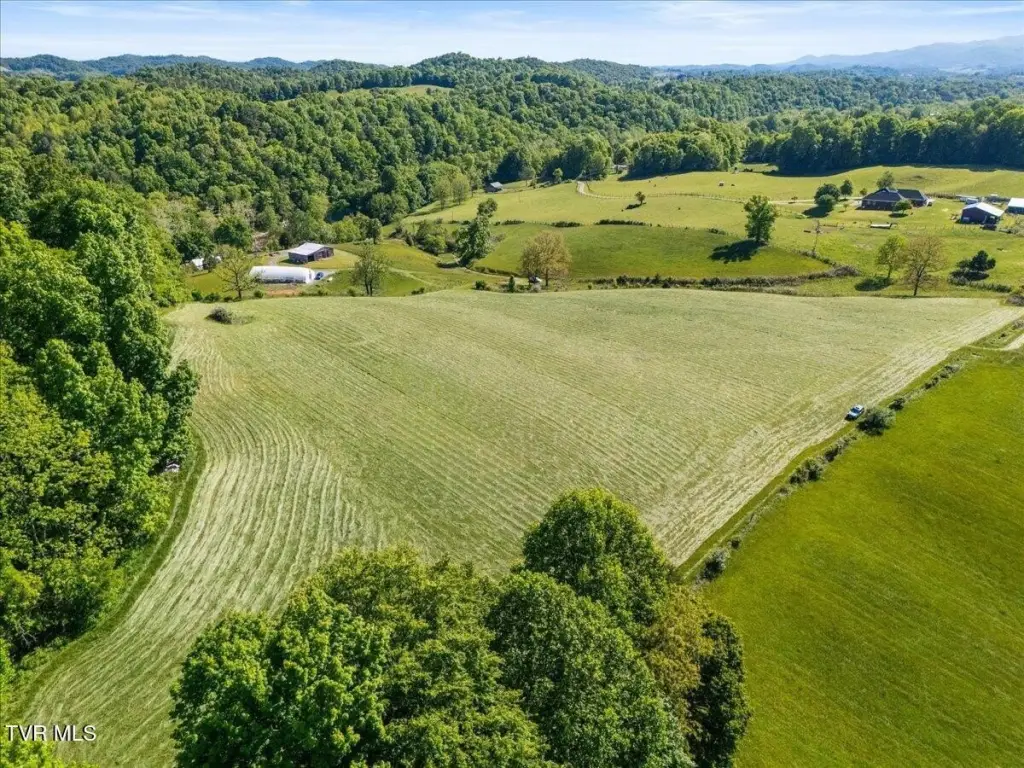
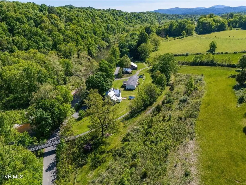
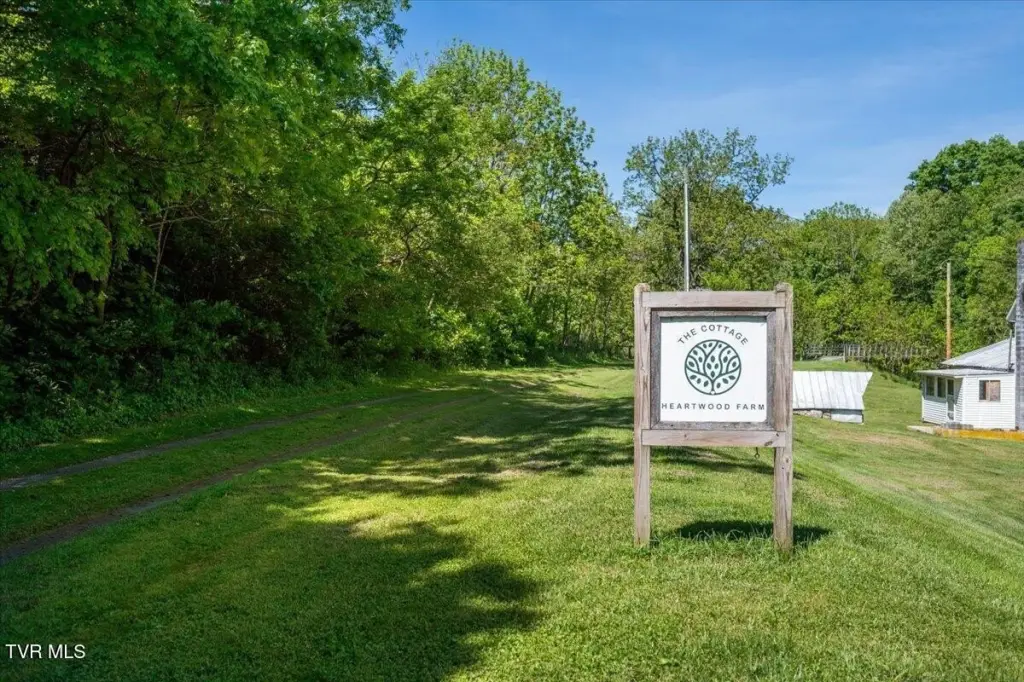
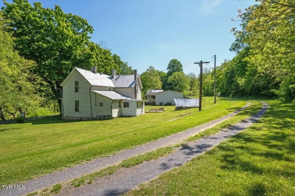
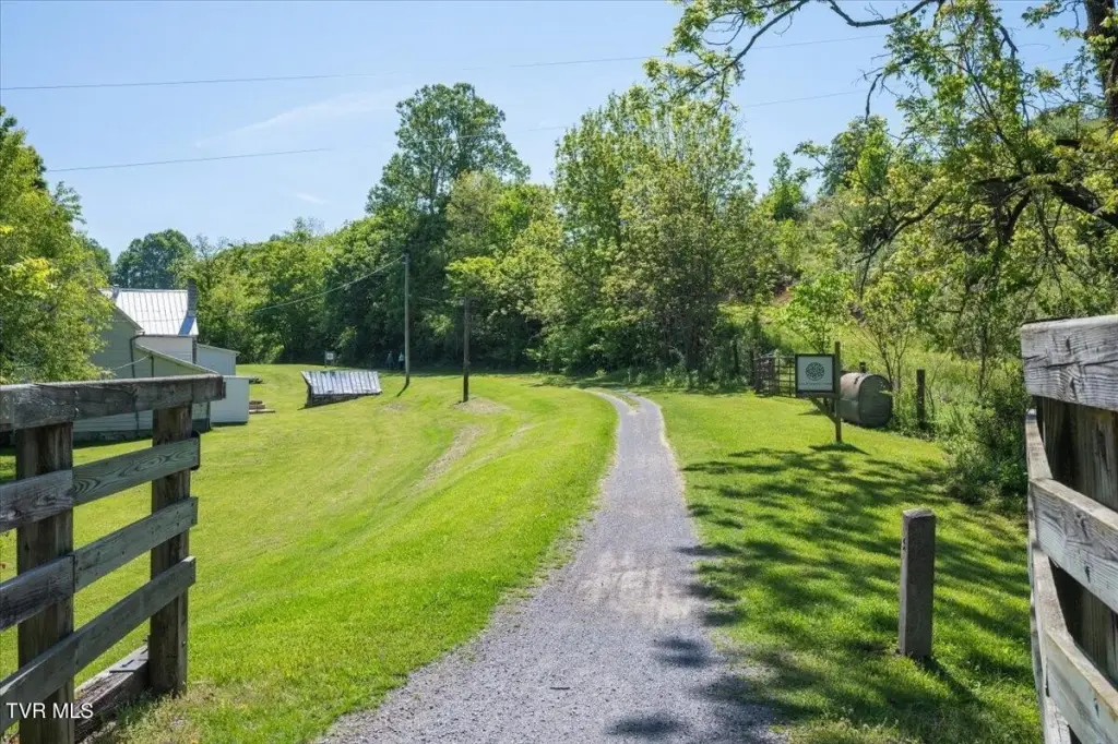
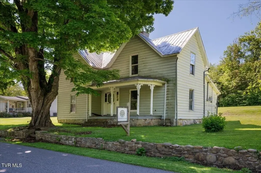
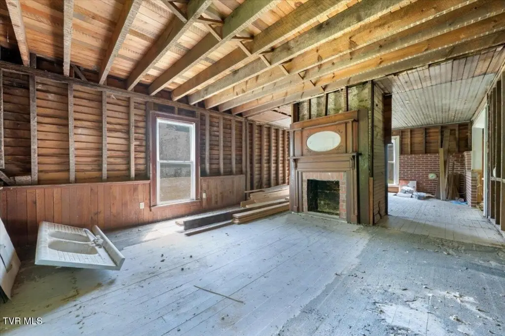
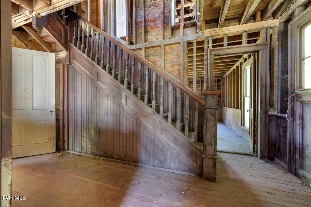
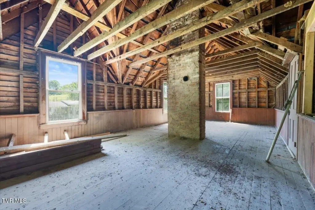
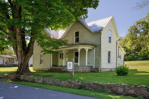
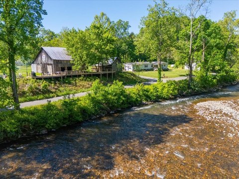
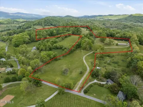
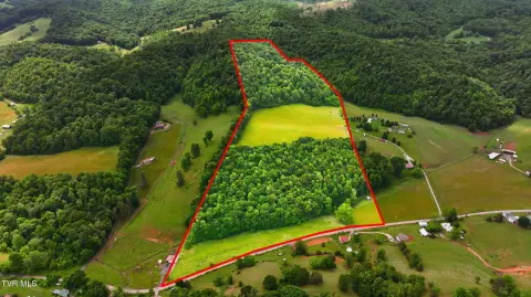
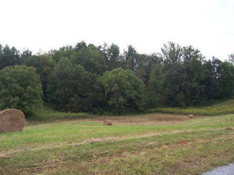
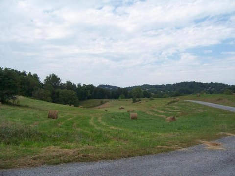
This approximately 25-acre agricultural tract combines rolling hay fields with a large barn, a professional greenhouse, and approximately 270 feet along the South Fork of the Holston River. The historic farmhouse has received structural improvements and has been gutted for future restoration. Three RV hookups with septic are also on the property, while public water and cable availability are listed among the services. Zoning is Agricultural, Limited.
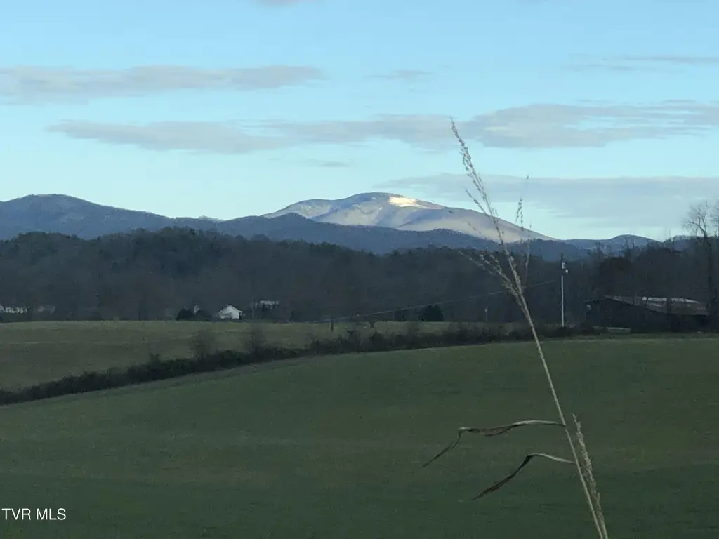
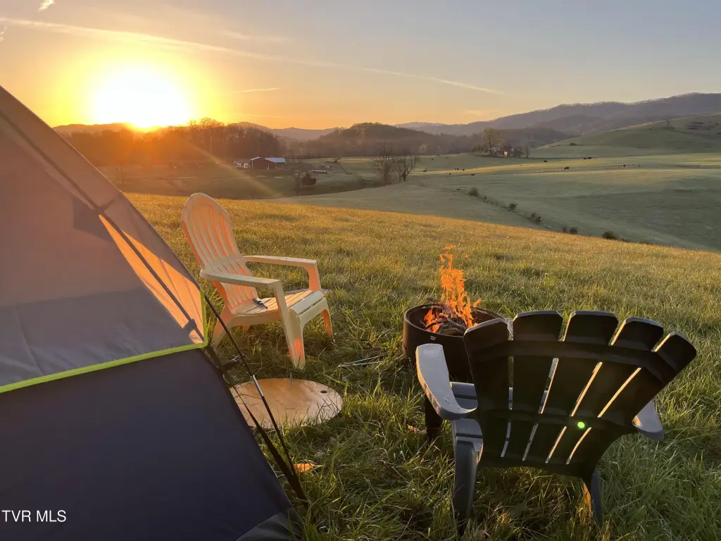
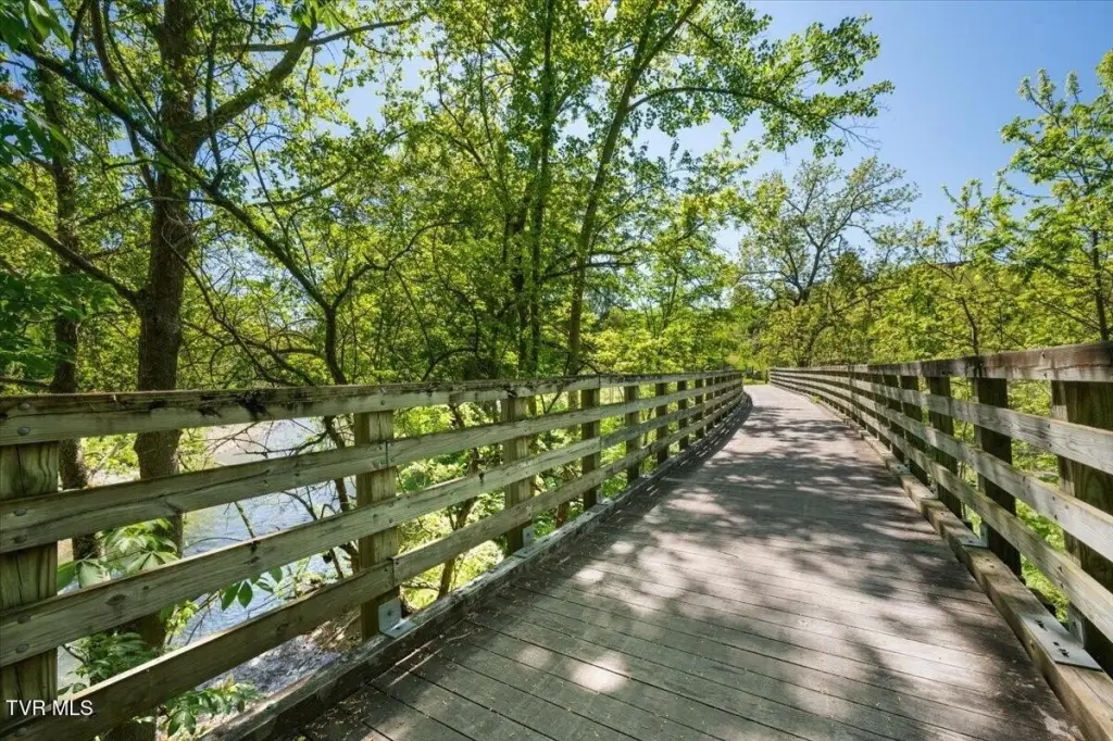
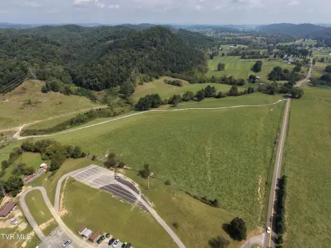
The land borders the Virginia Creeper Trail between Abingdon and Damascus and has direct trail access. Views extend toward Whitetop Mountain and Mount Rogers, with river-facing sunset views also noted. River recreation and outdoor activities identified for the property include kayaking, trout fishing, hiking, biking, and horseback riding. Concepts described for the site include a residence, trail-side cafe, outfitter shop, gallery, bed-and-breakfast, vacation rental, farming, equestrian use, and other tourism-related businesses.
The land borders the Virginia Creeper Trail between Abingdon and Damascus and has direct trail access. Views extend toward Whitetop Mountain and Mount Rogers, with river-facing sunset views also noted. River recreation and outdoor activities identified for the property include kayaking, trout fishing, hiking, biking, and horseback riding. Concepts described for the site include a residence, trail-side cafe, outfitter shop, gallery, bed-and-breakfast, vacation rental, farming, equestrian use, and other tourism-related businesses.
Key Highlights
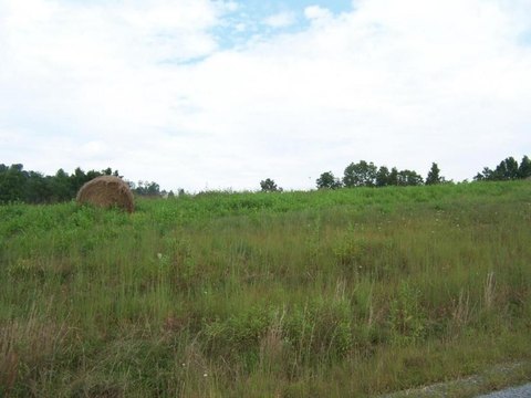
- Approximately 25 acres of rolling farmland with hay fields
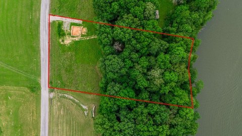
- Approximately 270 feet of frontage on the South Fork of the Holston River
- Borders the Virginia Creeper Trail between Abingdon and Damascus with direct access
Property Analytics
Unlock full access to Insights
Subscribe to Realmo Intelligence
Open Analytics
Current Use
Location Intelligence
Trade Area within ½ mile
12
Businesses Nearby
Explore this area
Business Placement
Demographics for 24211, VA
9,864
Population
4,748
Households
2.1
Avg Household Size
50
Median Age
37%
College-Educated
92%
High-School Grad
70.2 sq mi
ZIP Area
141
Density / Sq Mi
$84,559
Median Household Income
$47,095
Median Earnings
$985
Median Rent
$280,600
Median Home Value
Check the figures for this property
Cap Rate, Value Estimation, Potential NOI and more
View Realmo Analytics

Questions? Ask Rey
Realmo’s AI knows this listing — price, zoning, demand, history. Ask anything.


Frequently Asked Questions
What type of property is this?
Agricultural land / Farmland - Agricultural acreage with river frontage, trail access, a barn, and a partially prepared farmhouse within a scenic mountain setting.
Where is this agricultural land / farmland located?
The property is located at Alvarado Road Abingdon, VA.
What is the asking price?
The asking price for this property is $675,000.
What are key features of this property?
This property features: Approximately 25 acres of rolling farmland with hay fields; Approximately 270 feet of frontage on the South Fork of the Holston River; Borders the Virginia Creeper Trail between Abingdon and Damascus with direct access