Hwy 281 & Hughes Road, Alva, OK 73717
- Added:
- Jun 12, 2026
- Days on Market:
- 12
- Last Refresh:
- Jun 23 at 11:06 pm
Property Features for Hwy 281 & Hughes Road
General Information
- Property type
- Land
- Property subtype
- Other
- Zoning
- 300
- Parking features
- Garage
- Standard status
- Active
- Lot size
- 119.40 Acres
Taxes and HOA fees
- Tax Annual Amount
- 0
Utilities
- Water front features
- Wfriver, Waterfront
- Water front
- 1
Building Details
- Architectural style
- Other
Listing agent Ira Smith (580) 254-3975
Listing office Smith & Co Auction & Realty Inc 1102 Oklahoma AVE Woodward Oklahoma, Woodward, OK (580) 254-3975
Listing date Jun 12, 2026
Copyright © 2026 My State MLS. All rights reserved. All information provided by the listing agent/broker is deemed reliable but is not guaranteed and should be independently verified.
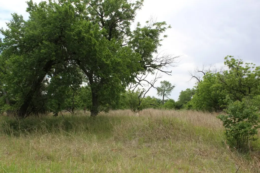
HighLights
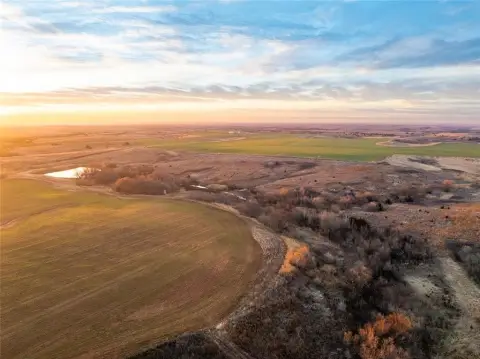
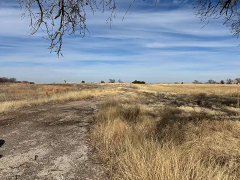
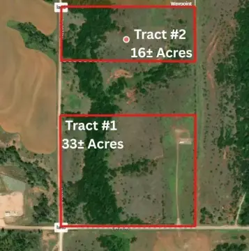
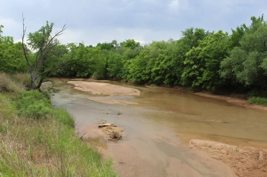
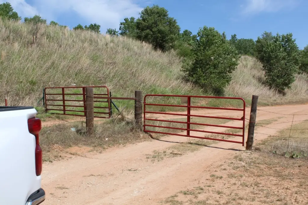
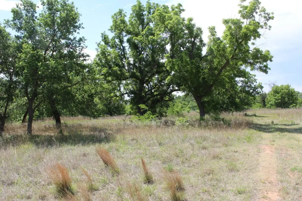
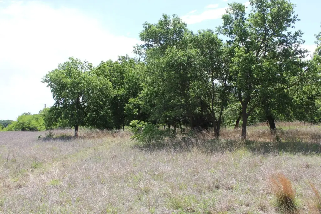
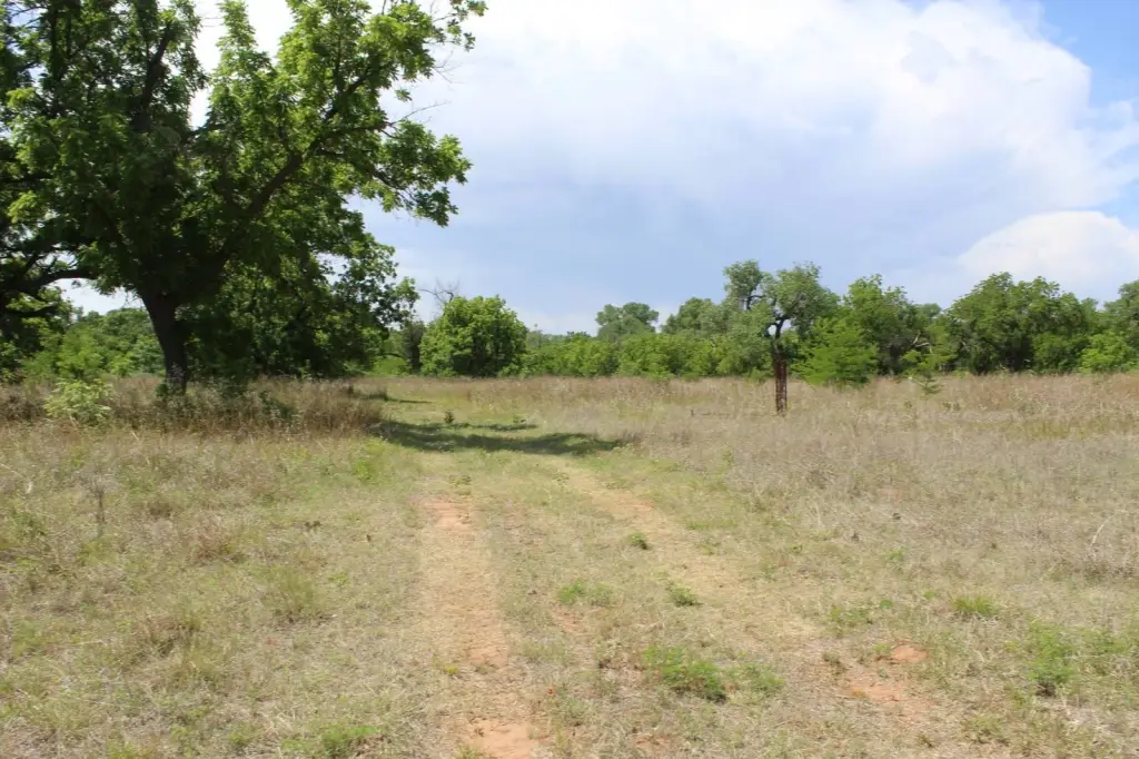
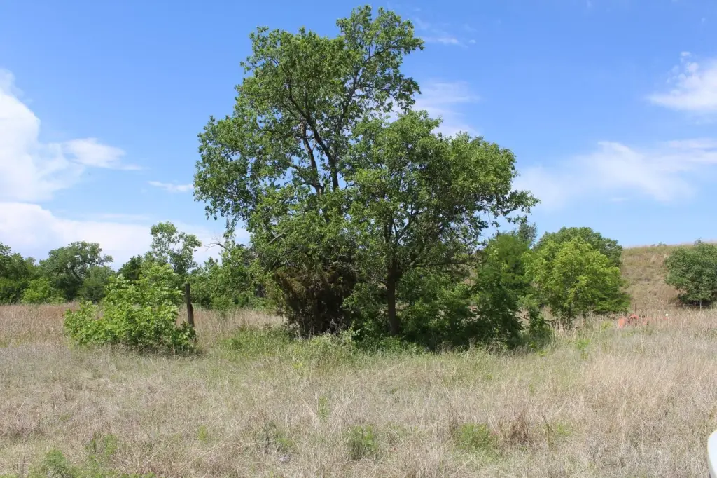
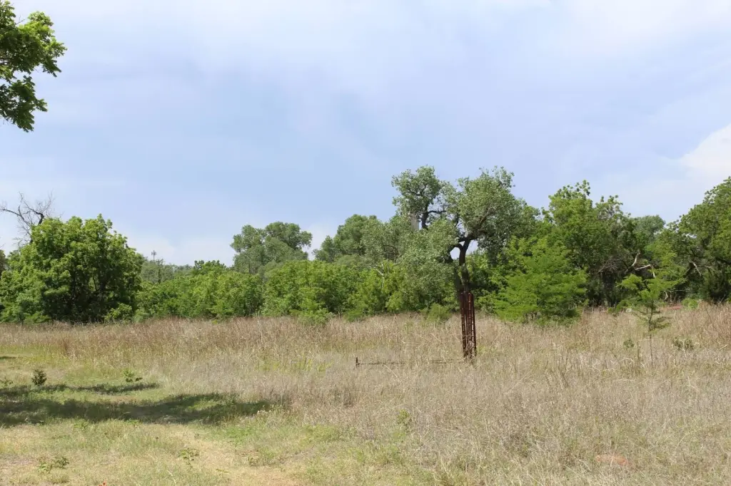
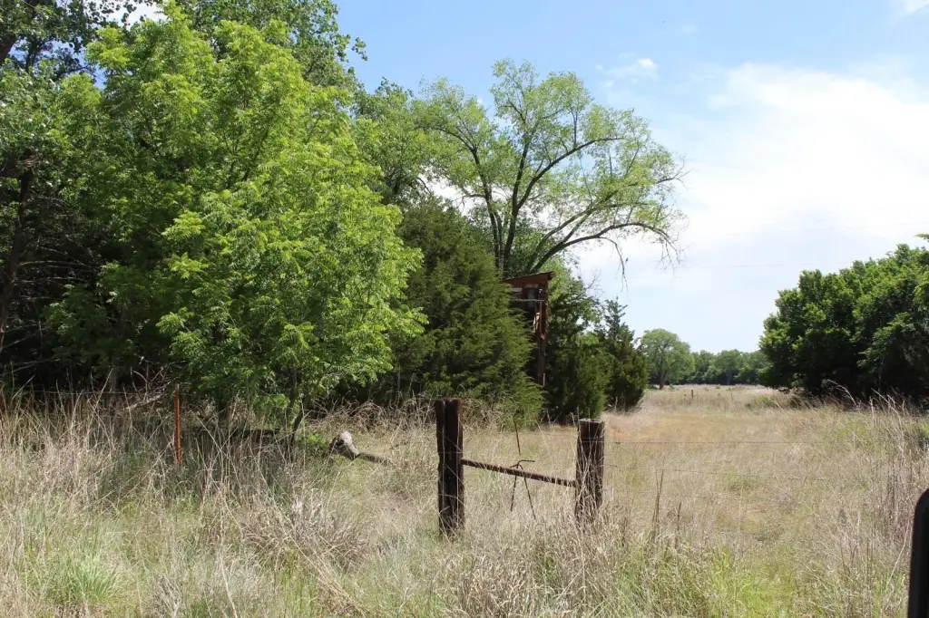
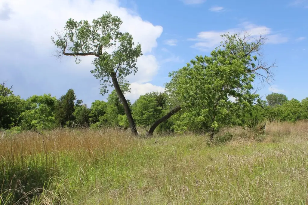
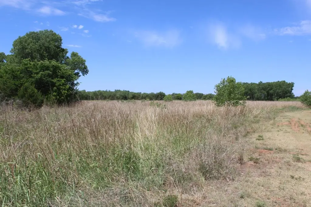
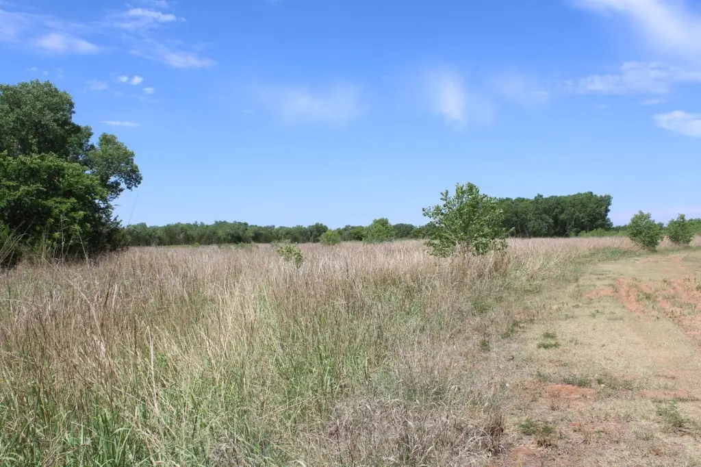
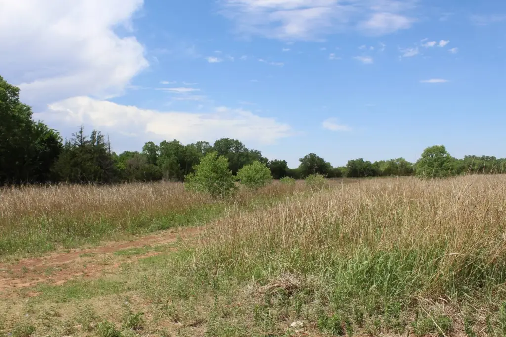
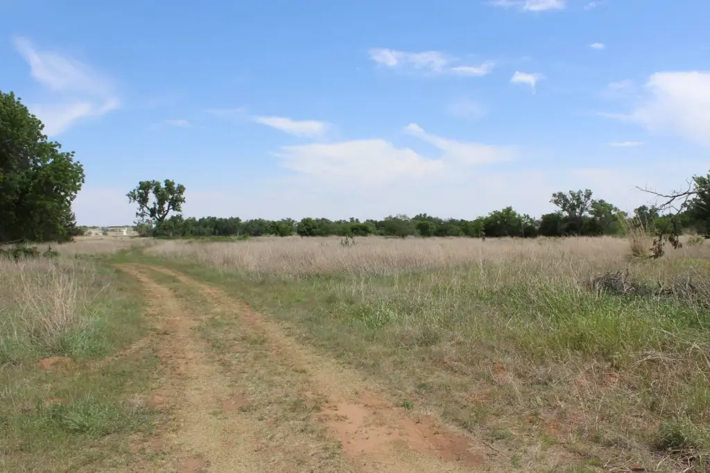
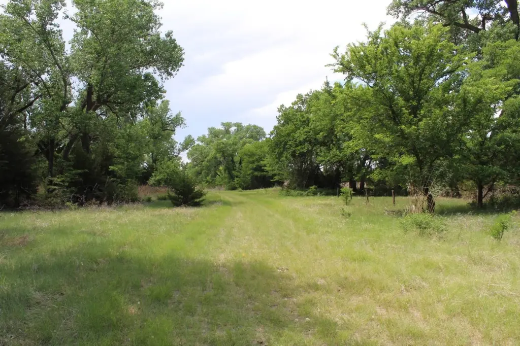
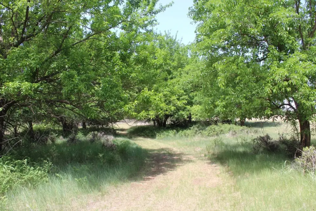
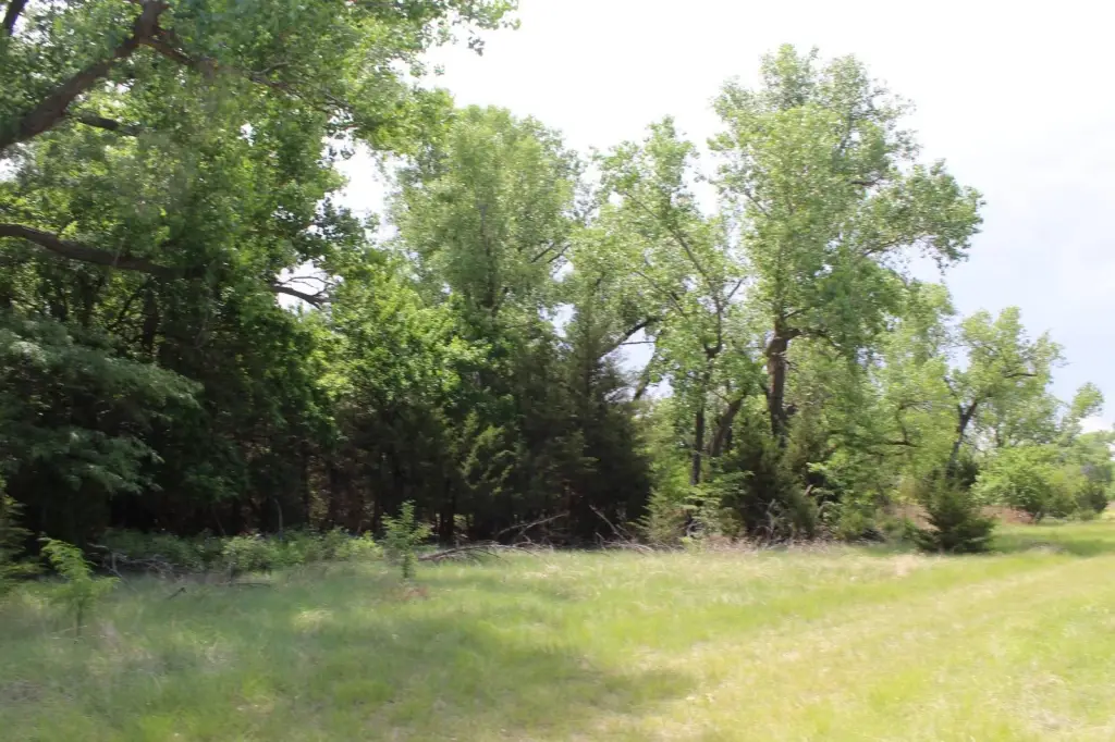
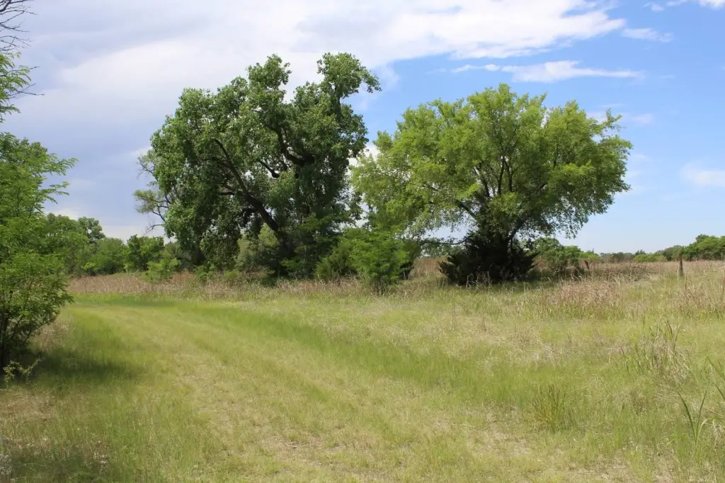
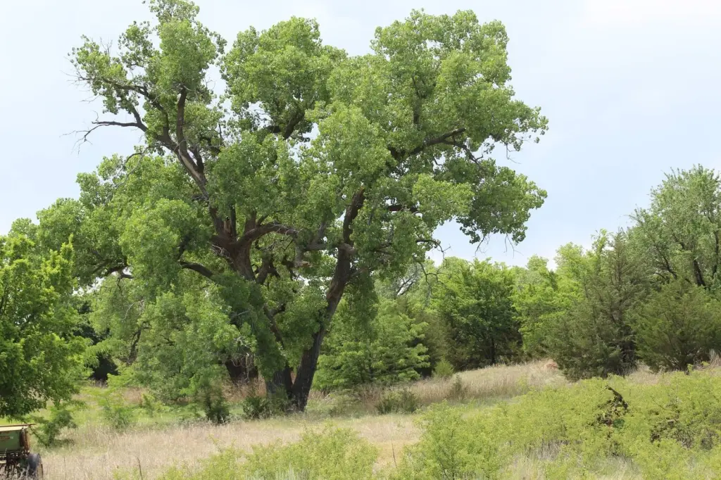
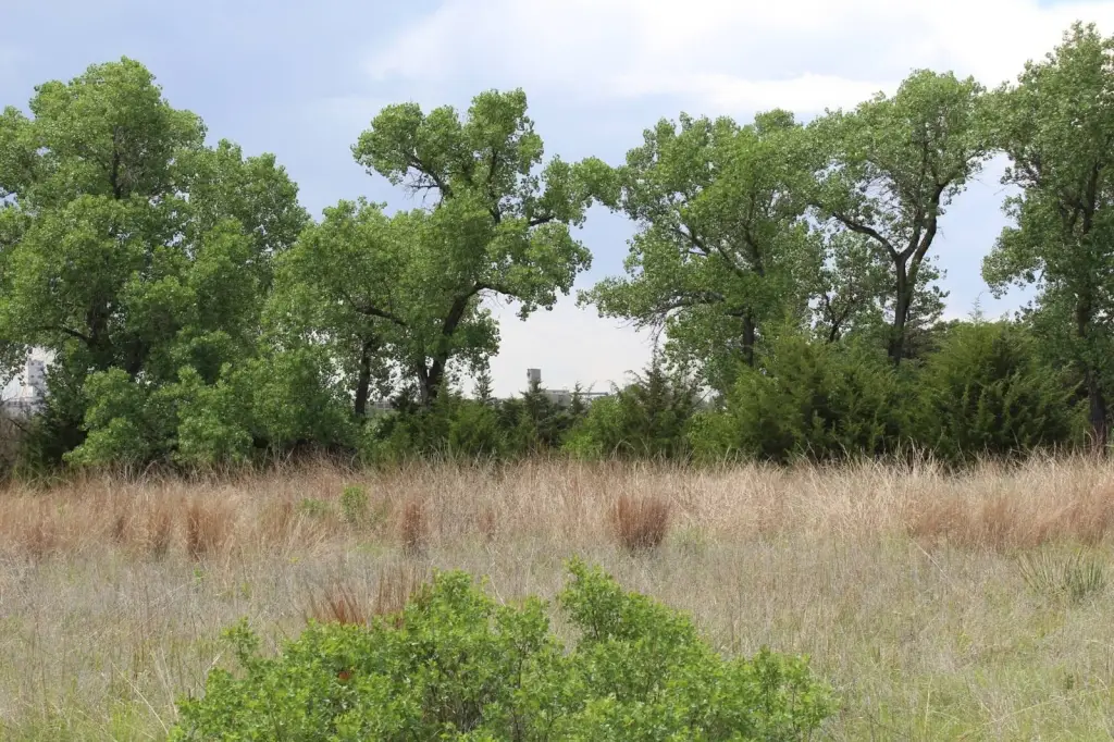
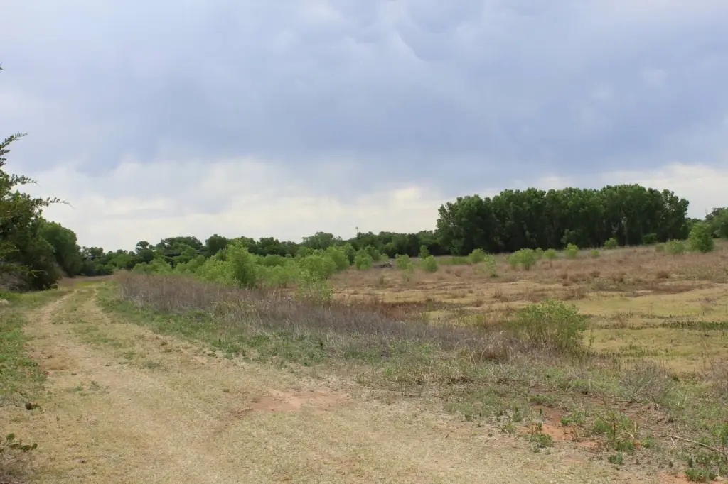
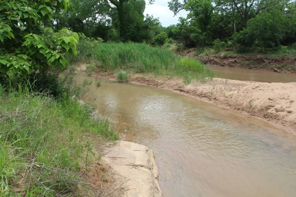
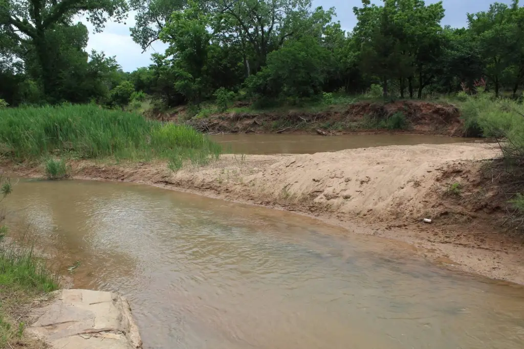
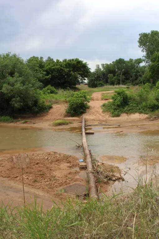
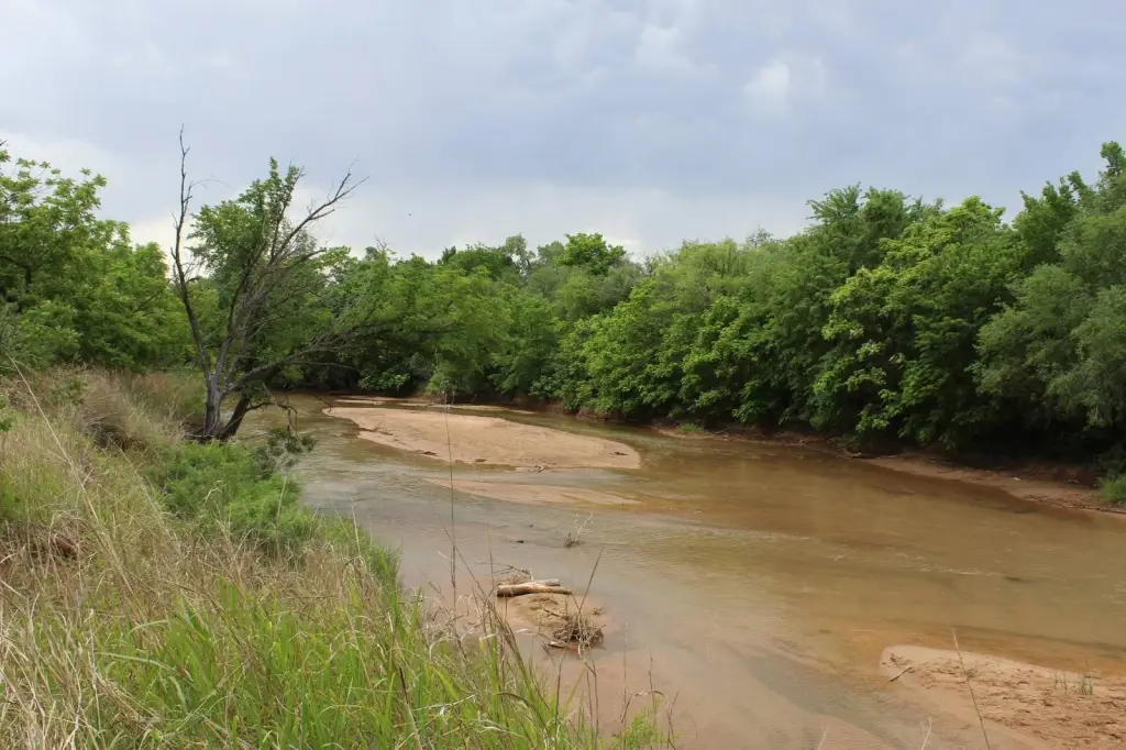
- Salt Fork Arkansas River runs along the property’s south side, with river frontage and waterfront features listed as Wfriver/Waterfront
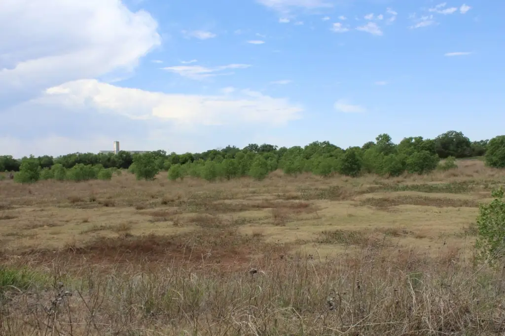
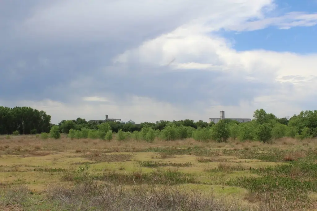
- Located just north across the river from the city of Alva, OK
- Total land area listed as 119.4± acres (NE portion noted as 37.6± acres)
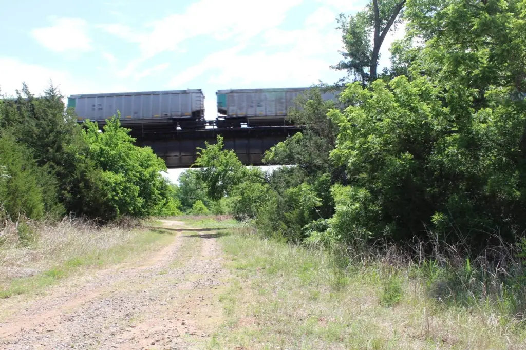
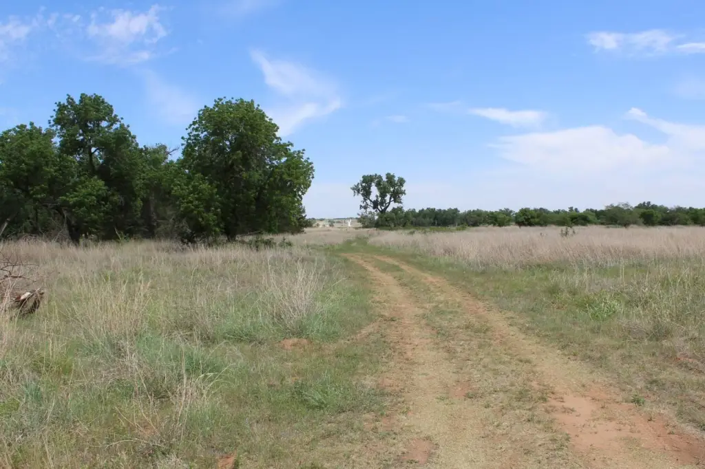
- Railroad tract runs through the land, with access to the west side via an underpass
- Live auction & webcast begins Friday, July 10 at 10 a.m. CST (off‑site at 302 7th St., Alva, OK)
Overview
The land is located just north across the river from the city of Alva, Oklahoma. A railroad tract comes through the land, with access to the west side via an underpass. The listing also notes additional acreage figures for a northeastern portion of approximately 37.6 acres.
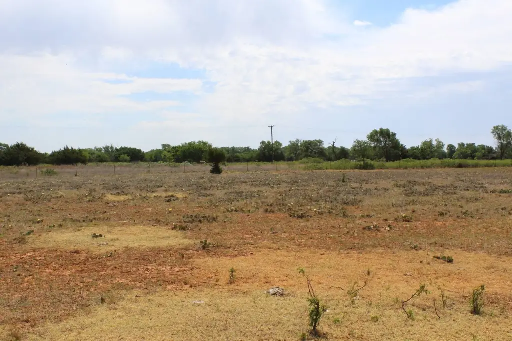
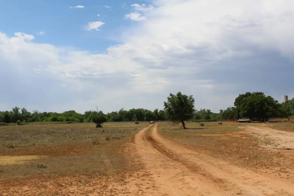
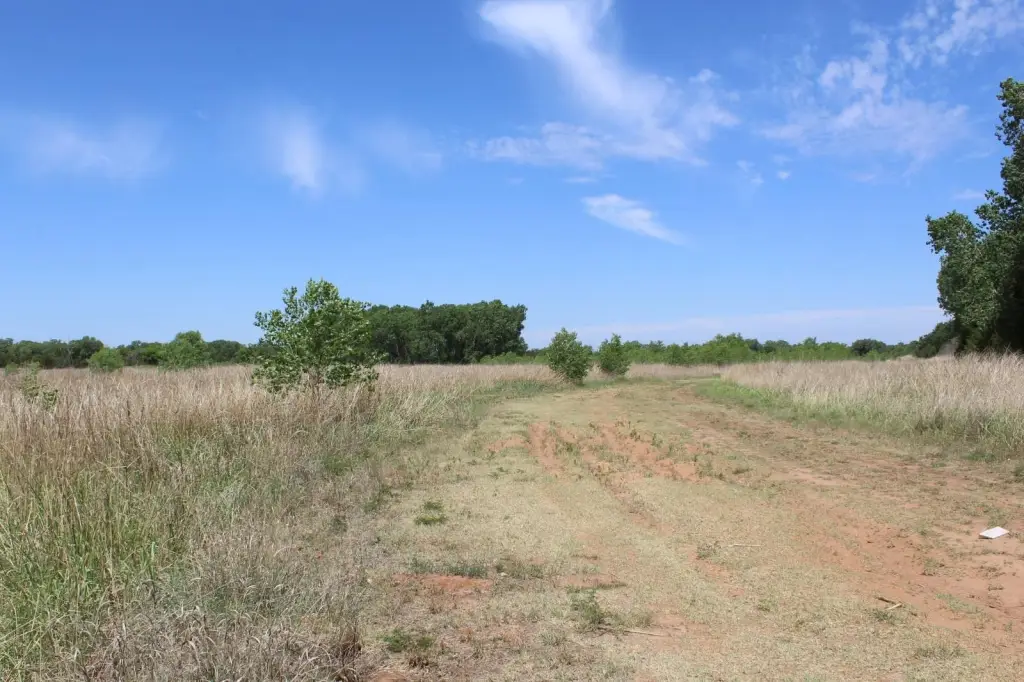
Auction terms are provided in the listing remarks, with a live and online simulcast auction beginning Friday, July 10th at 10 a.m. CST. The property is being offered as recreational and getaway land close to town, with the listing specifically referencing hiking, hunting, and trail riding. Prospective buyers should review the recorded acreage, river frontage, and the railroad-underpass access configuration when evaluating intended use and site planning.
Current Use by Public Records
Map
- City
- Alva
- County
- Woods
- State
- Oklahoma
- Longitude
- -98.647796
- Latitude
- 36.819312