Industrial Development
999 Herman Alford Memorial Hwy Philadelphia, MS 39350


For Sale
$150,000
COMMERCIAL - Philadelphia, MS
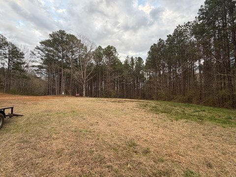
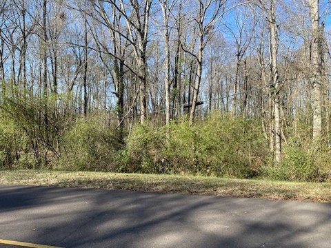
Lot Size14.00 Acres
Days on Market248
Property Features for 999 Herman Alford Memorial Hwy
General Information
Property type
Commercial Sale
Property subtype
Other
Standard status
Active
Lot size
14.00 Acres
Listing Agency:
America's Land Partners - Mississippi, Kosciusko
Listed By:
Ben Rudolph
Added: Nov 22, 2025
Changed: Jul 2
Last Checked: Jul 28 at 6:06AM
MLS# 11612808
Copyright © 2026 My State MLS. All rights reserved. All information provided by the listing agent/broker is deemed reliable but is not guaranteed and should be independently verified.
Investment Insights
Based on property information with market context.
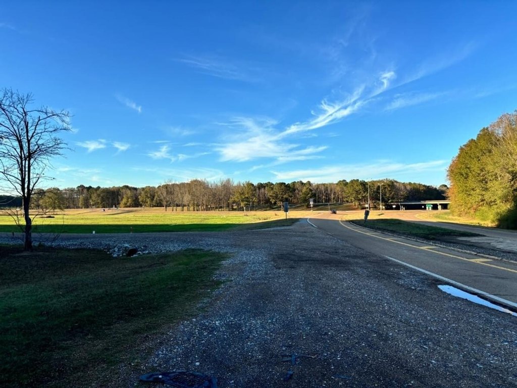
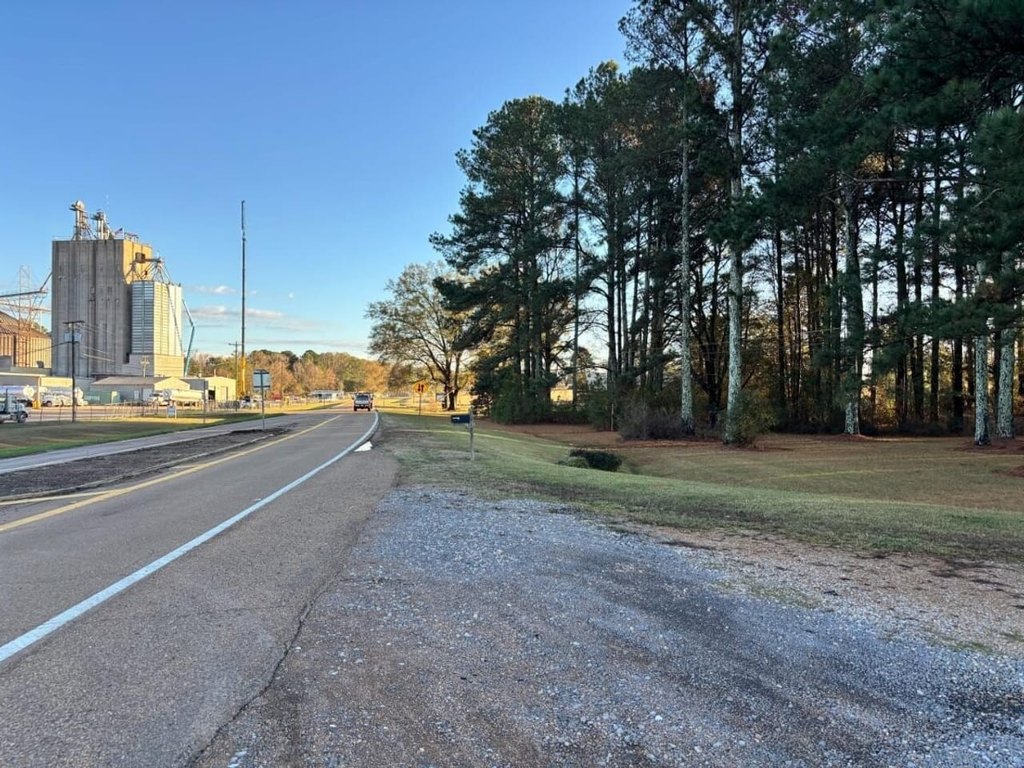
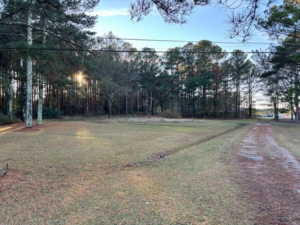
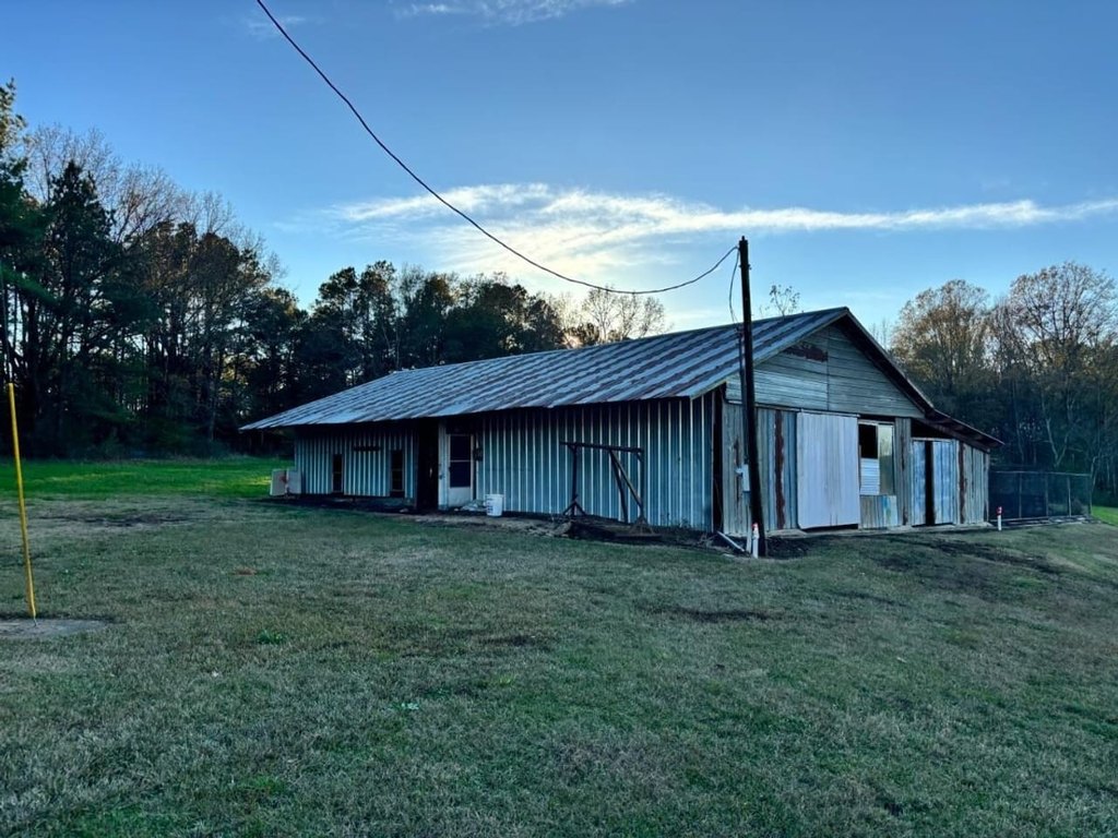
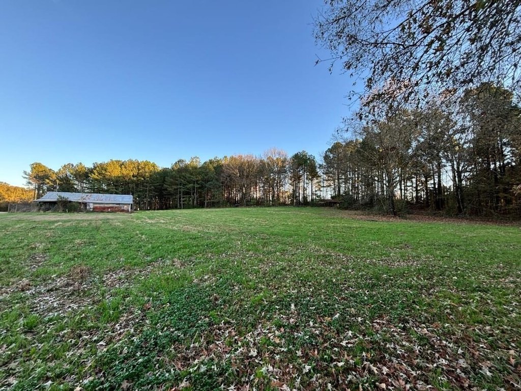
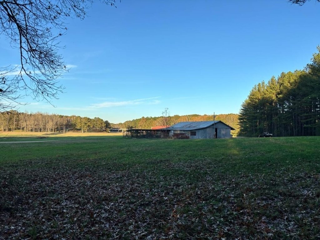
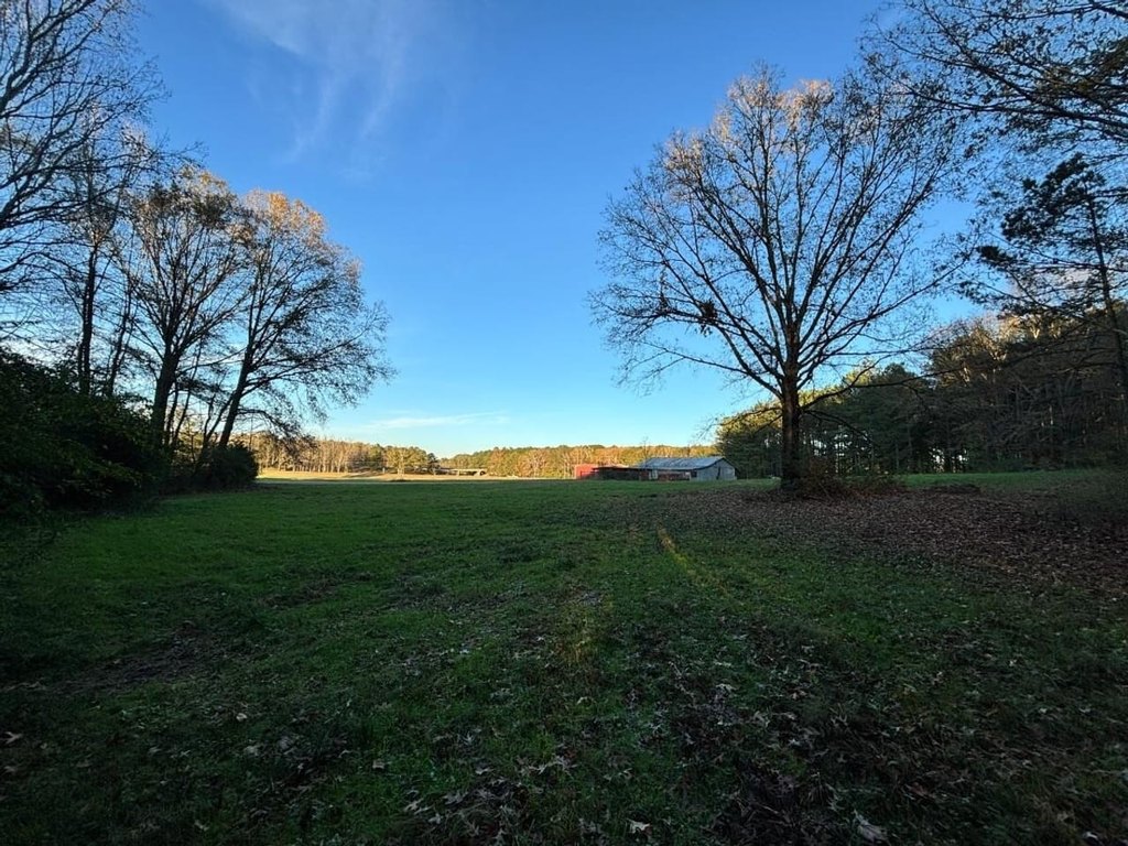
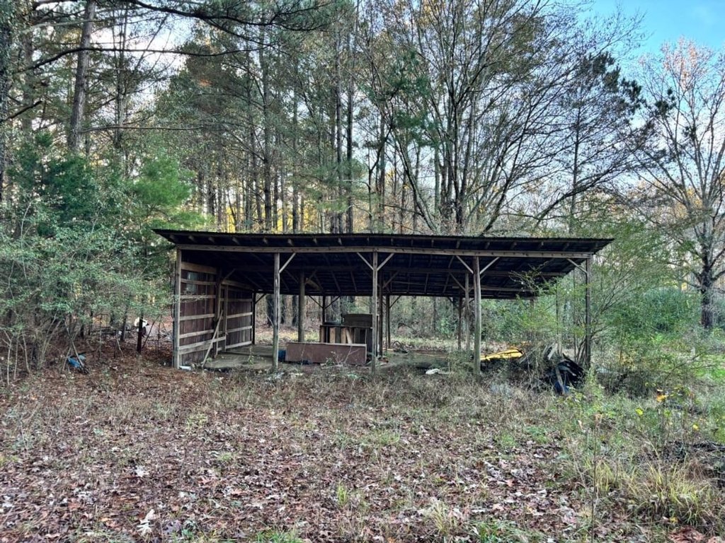
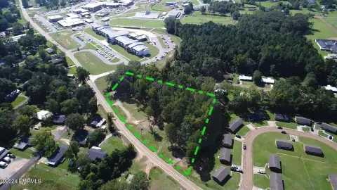
This 14-acre industrial development property offers land for a range of commercial applications, including industrial use, mini storage, and warehouse development. The offering is positioned as an investment/development site on the outskirts of town, intended for buyers looking to evaluate site planning and end-use buildout.
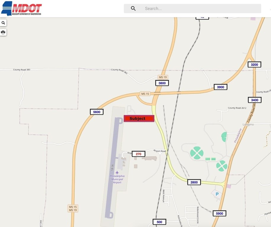
The property sits between Highway 19 and the Philadelphia Municipal Airport, near the intersection of Highways 19 and 15. Public remarks indicate MDOT average daily traffic on Highway 19N of approximately 2,800 vehicles, along with visibility to Highway 15, which is reported at approximately 5,600 vehicles ADT about 1/4 mile to the north.
For buyers and developers, this land package can support proposals where access to major roadways and airport-proximate placement are important. The location and stated traffic/visibility make it a practical option to consider for industrial, mini storage, or warehouse concepts, subject to applicable approvals and development requirements.
Key Highlights
- Investment/development property on the outskirts of town near the intersection of Hwy 19 and Hwy 15
- Between Highway 19 and the Philadelphia Municipal Airport
- MDOT average daily traffic count on Hwy 19N: 2,800
Property Analytics
Property Profile
Location Intelligence
Current Use


Frequently Asked Questions
What type of property is this?
Industrial land - A 14-acre development site near highways 19 and 15 with strong visibility for industrial and storage concepts.
Where is this industrial land located?
The property is located at 999 Herman Alford Memorial Hwy Philadelphia, MS.
What is the asking price?
The asking price for this property is $150,000.
What are key features of this property?
This property features: Investment/development property on the outskirts of town near the intersection of Hwy 19 and Hwy 15; Between Highway 19 and the Philadelphia Municipal Airport; MDOT average daily traffic count on Hwy 19N: 2,800


