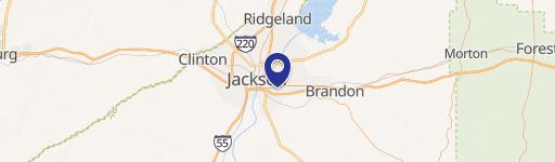
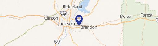
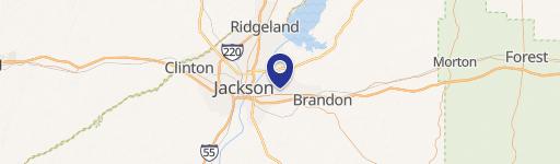
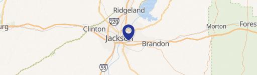
I20 And Hwy 49 Pearl, MS 39288
Call to check price and availability
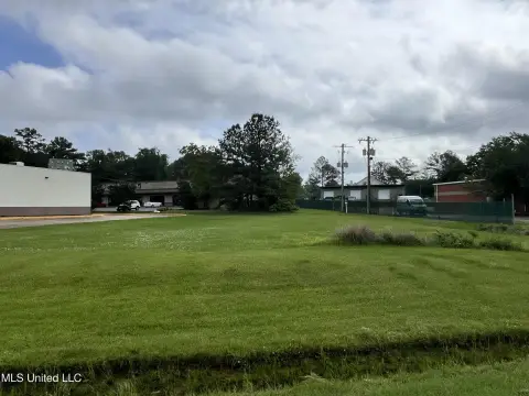
Prime Pearl, MS land: 56 acres, C-3 zoning.
Property Features for I20 And Hwy 49
General Information
- Property type
- Land
- Lot Size
- 2,439,360 SF

Listing Agency: Mark Warren Real Estate, Inc Listing Agent: Mark Warren
Displayed information is deemed reliable but is not guaranteed and should be independently verified.
Overview
This exceptional 56-57 acre commercial and industrial land parcel presents a unique investment opportunity in Pearl, Mississippi. Strategically located at the I-20 and Hwy 49 interchange, this property offers unparalleled access and visibility. The site boasts convenient access from Hwy 80 via a three-lane industrial road within the Legacy Park commercial area, running north under I-20. The western boundary is bordered by the Kansas City Southern Railway, providing excellent logistical advantages. Situated within the Pearl River flood control levee system, protecting Flowood, Pearl, and Richland, the property is drained by Conway Slough. While located in the AE flood zone (common to the area, including Bass Pro Shops and the Outlets of Mississippi), the site includes a small bar pit lake, and readily available fill dirt from previous interchange construction. Preliminary engineering has been completed for road access under I-20 to Legacy Park's industrial parkway. Zoned C-3 Highway Commercial District, the city of Pearl has shown flexibility in granting variances for warehouse and light industrial uses, expanding development possibilities. The property's APN is D08J000004 00000. The asking price is $1,232,000. The lease expires on December 31, 2023.
Property Profile
Location Intelligence
Current Use by Public Records
Commercial real estate
Map
- City
- Pearl
- County
- Rankin
- State
- Mississippi
- Longitude
- -90.164385049211
- Latitude
- 32.273614703192
Nearby Similar for Sale


FAQs
What type of property is this?
Land - Prime Pearl, MS land: 56 acres, C-3 zoning.
Where is this land located?
The property is located at I20 And Hwy 49 Pearl, MS.
What is the asking price?
The asking price for this property is $1,232,000.
What are key features of this property?
This property features: 56-57 acre commercial/industrial land parcel in Pearl, MS.; Prime location at I-20 and Hwy 49 interchange, with excellent Hwy 80 access.; Kansas City Southern Railway frontage provides strong logistical advantages.
