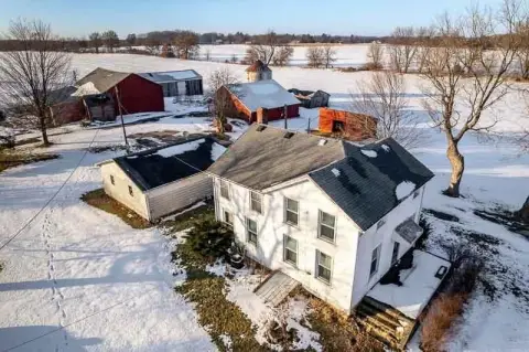
Belvidere, IL Commercial Real Estate for Sale
23 results
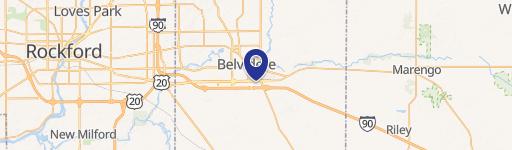
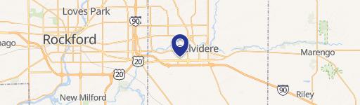
List
Map
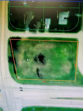
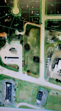
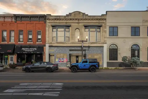
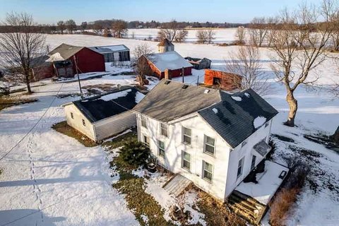


Belvidere, IL Commercial Real Estate Investment Opportunities Market Analysis
Explore 23 commercial real estate for sale in Belvidere, IL, showcased through 23 active listings on our real estate platform. These investment opportunities span a total of 5,728,140 square feet of properties for sale, with an estimated market value of $6,518,000.
Sale prices for business properties in Belvidere, IL start at $60,000, averaging $1,086,333, and reaching up to $2,500,000 — offering options for a variety of budgets and business needs. Daily updated analytics ensure you stay ahead with the latest data and market trends.
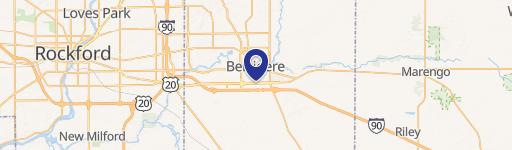
List
Map
