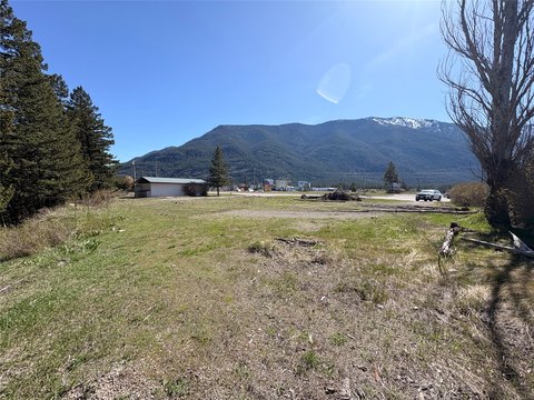
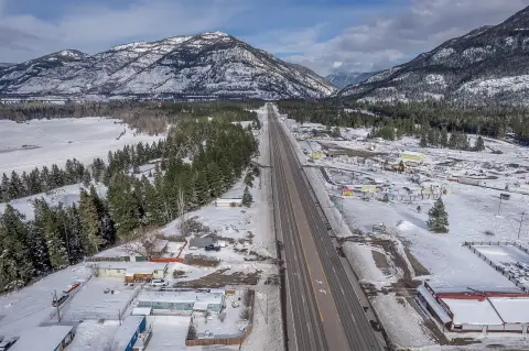
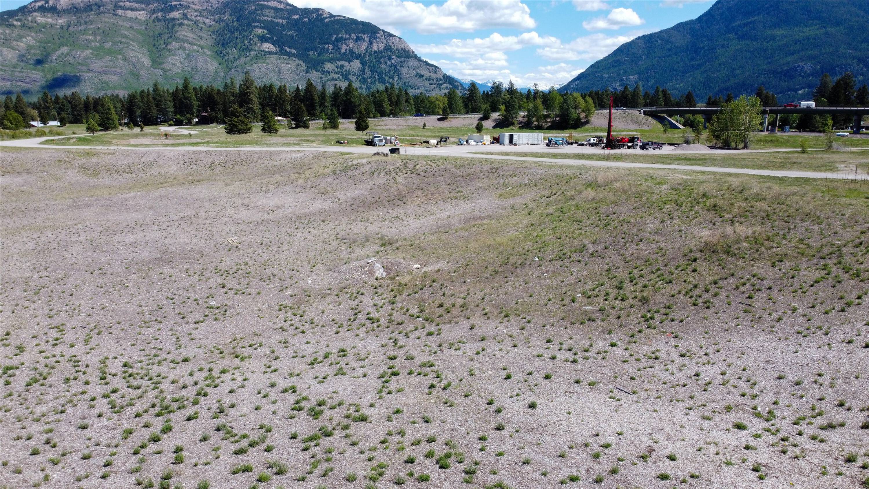
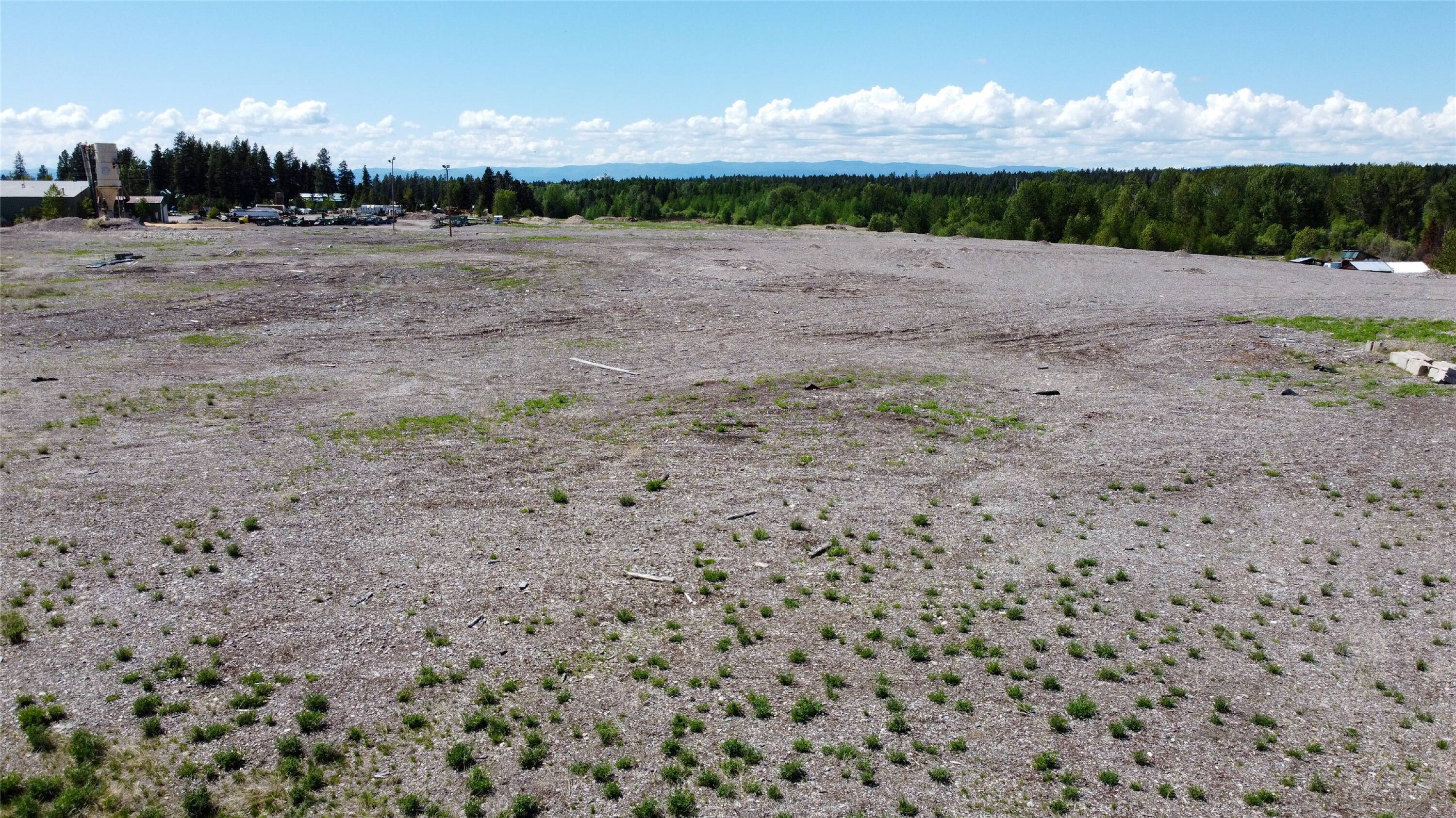
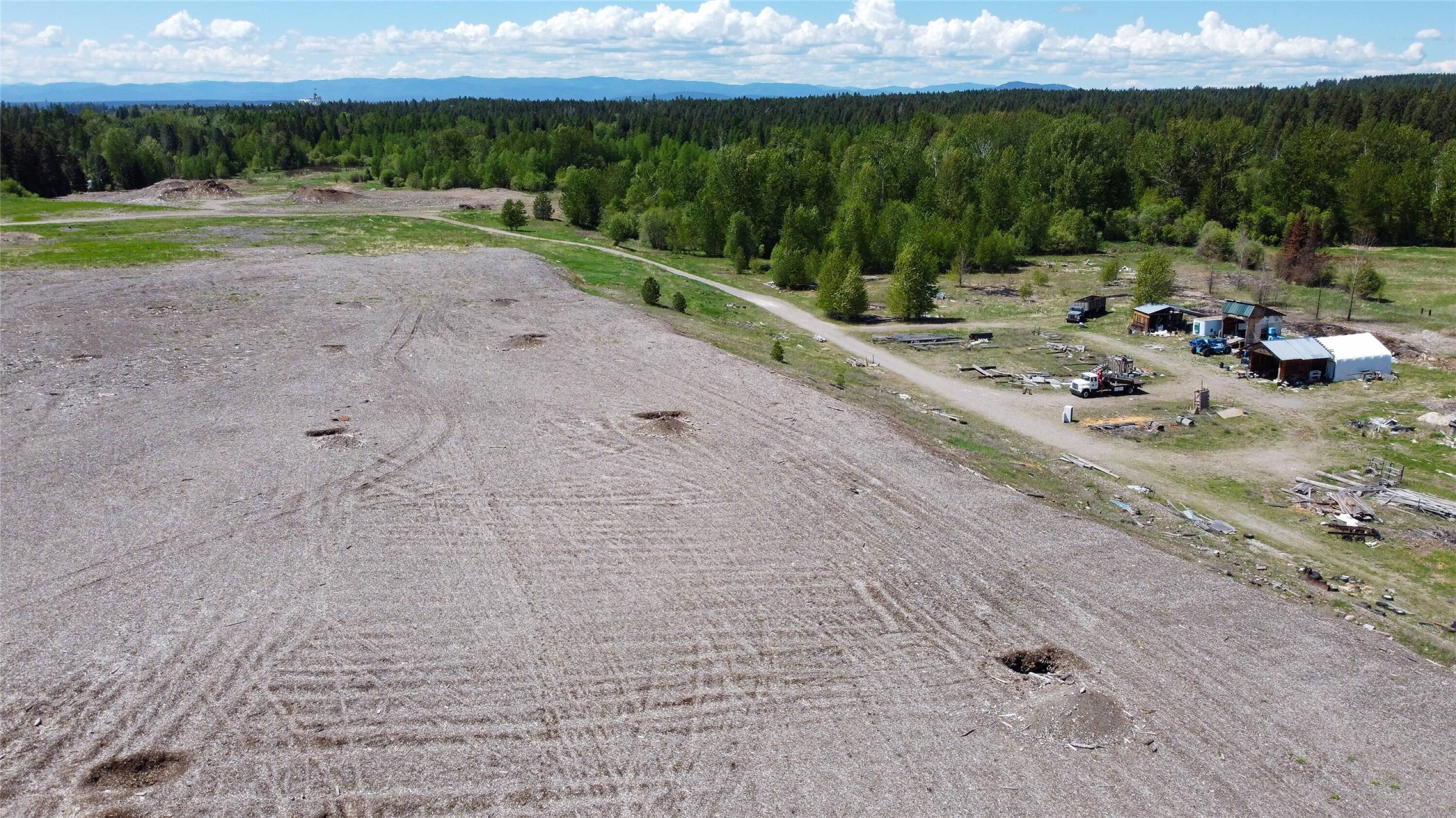
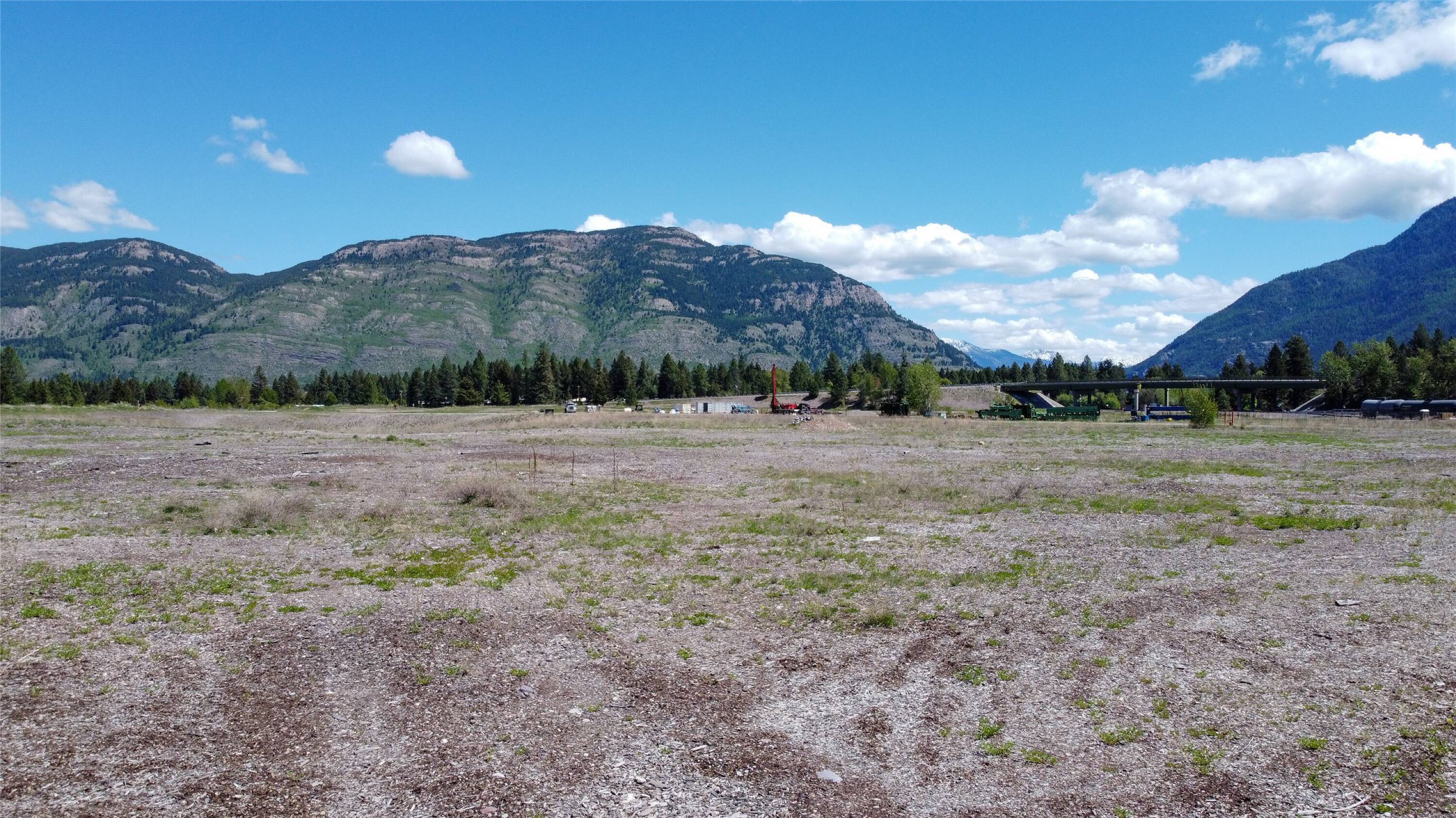
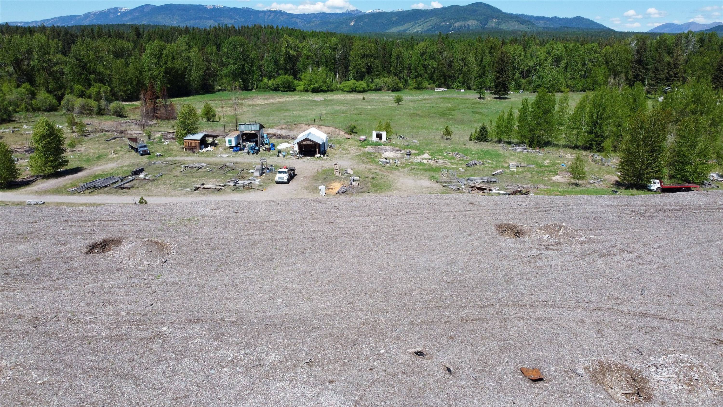
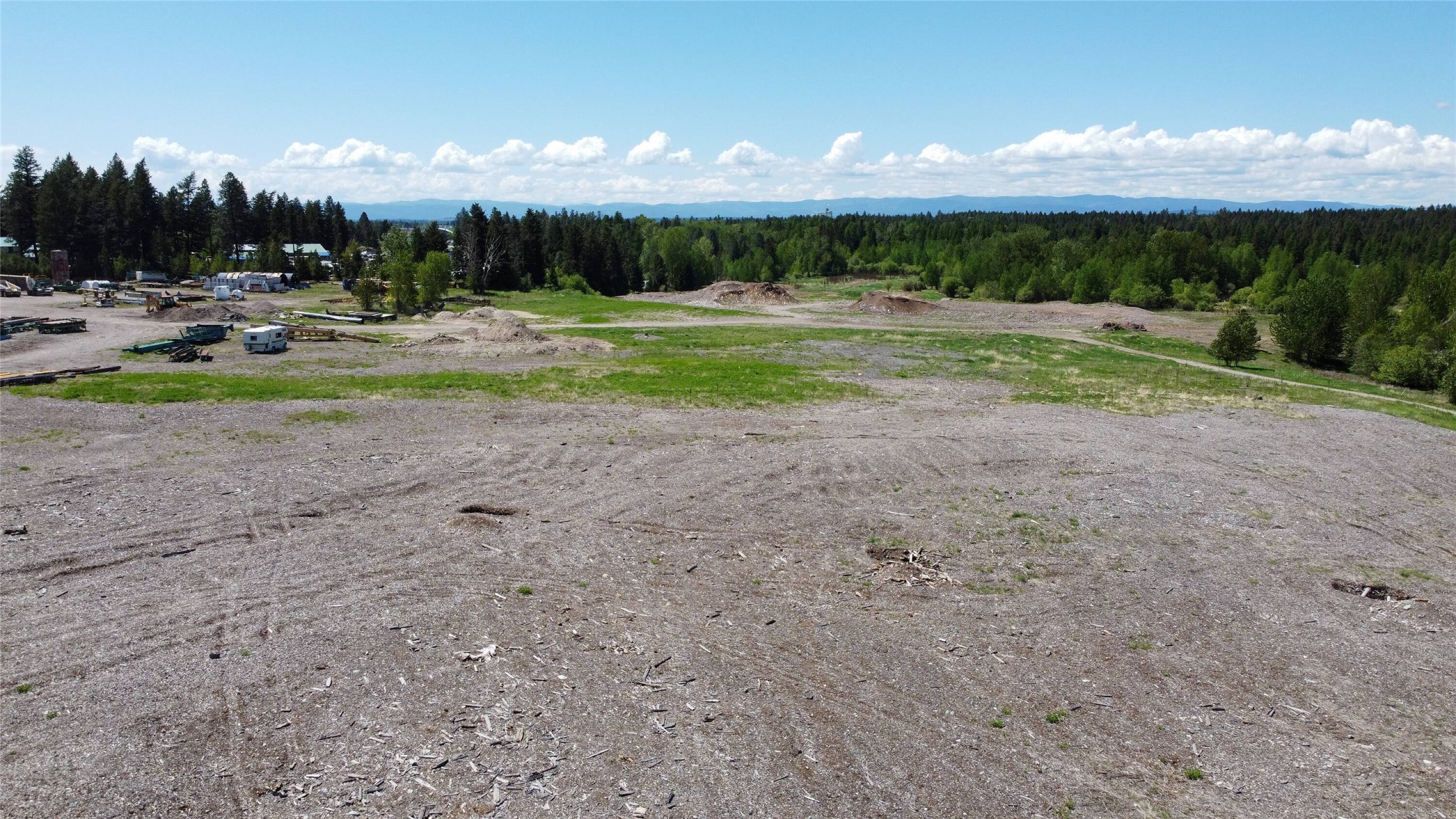
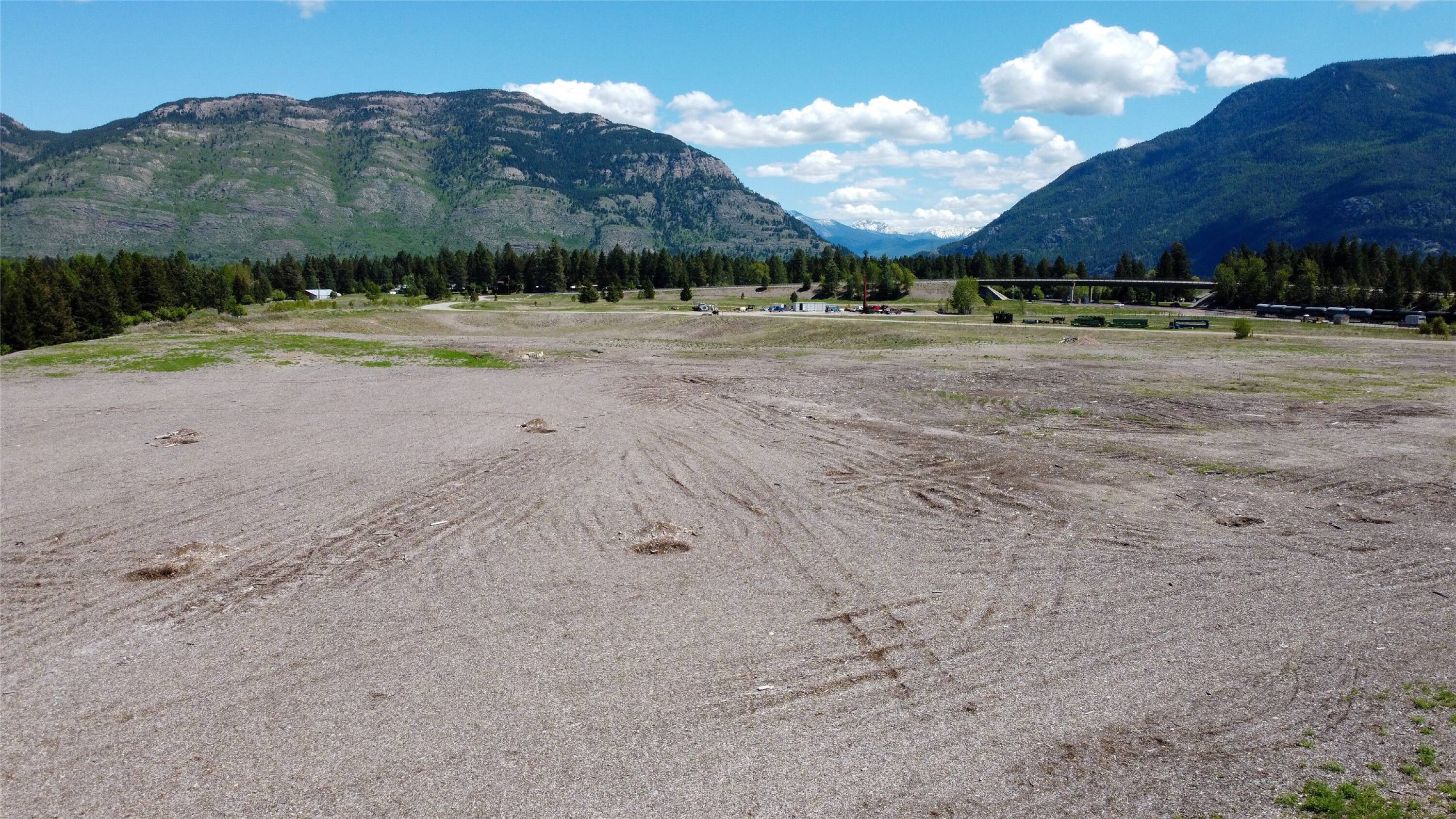
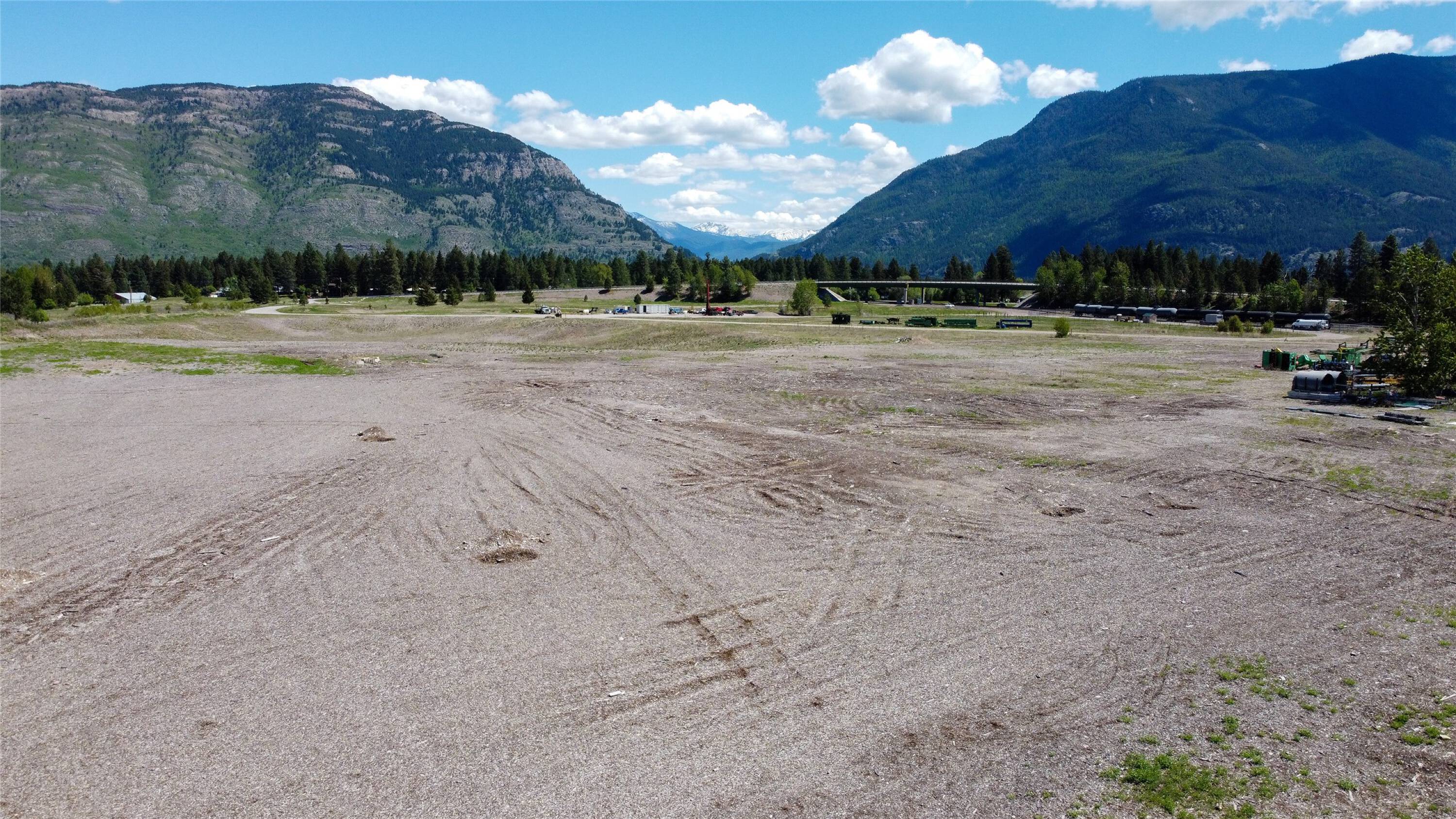
NHN North Fork Road, Columbia Falls, MT 59912
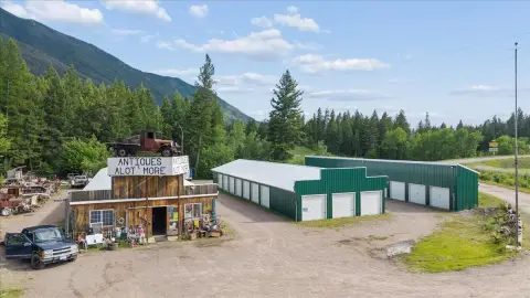
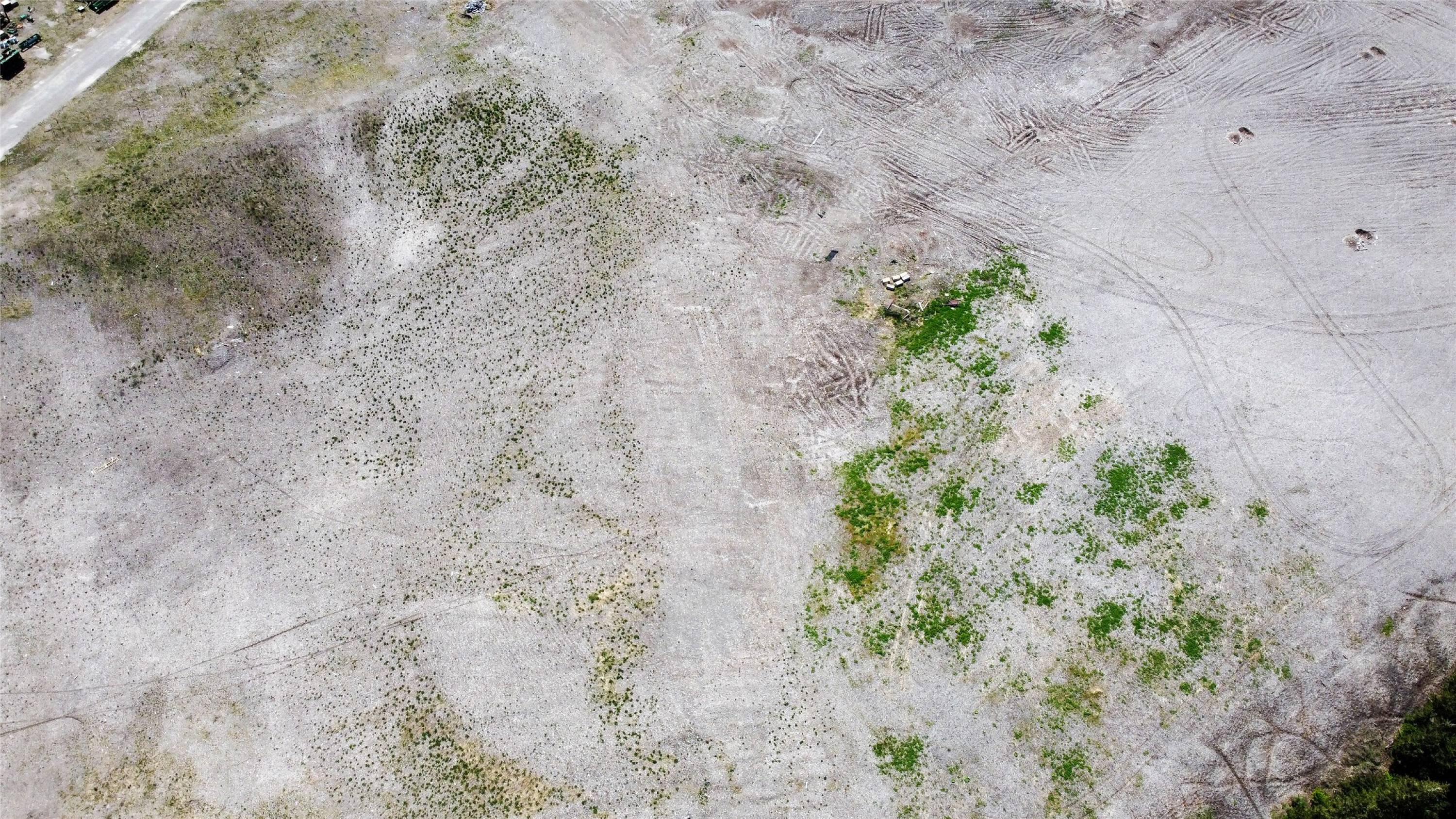
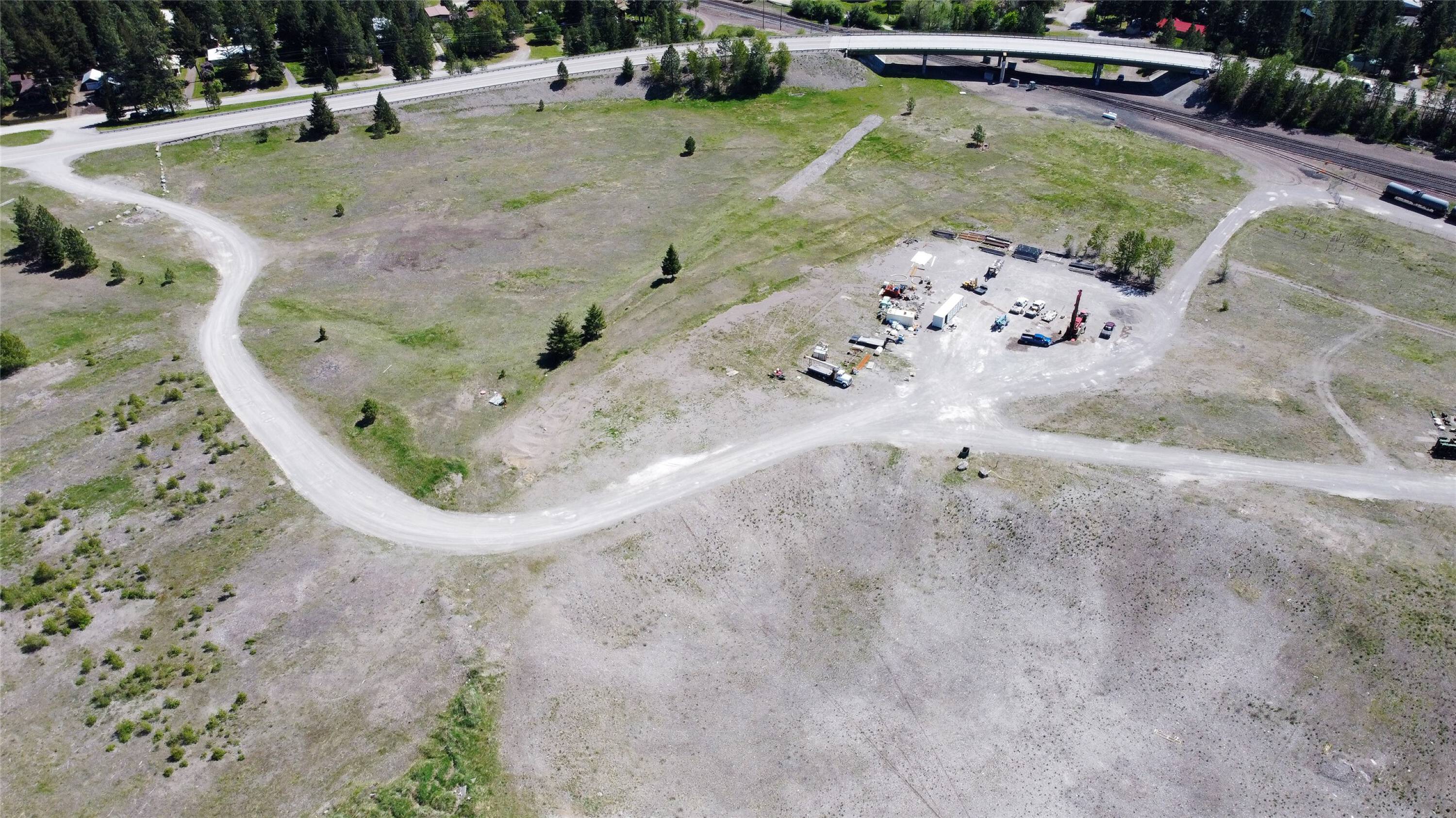
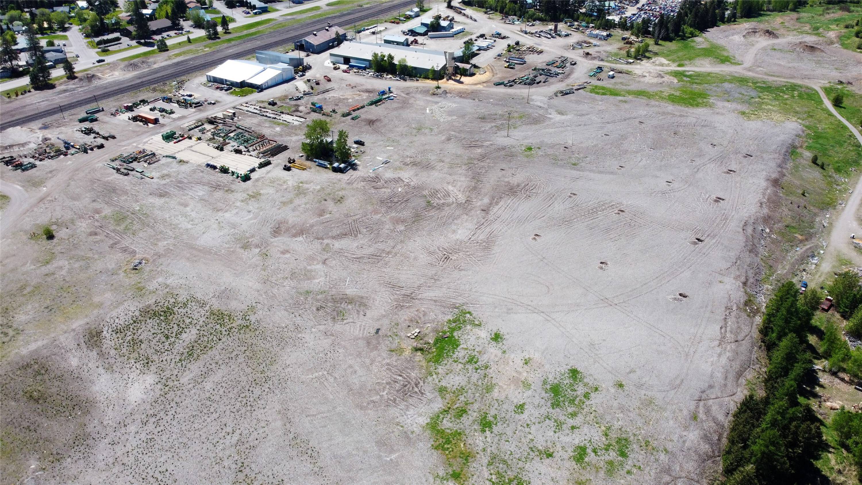
Large industrial site with dual zoning and rail access.
- Added:
- Sep 23, 2023
- Days on Market:
- 1018
- Last Refresh:
- May 13 at 8:17 pm
Property Features for NHN North Fork Road
General Information
- Standard status
- Active
- Size
- 3,833,280 SF
- Lot size
- 88.07 Acres
- Property subtype
- Land

Listing office National Parks Realty
Listing date Sep 23, 2023
Source Crexi
Displayed information is deemed reliable but is not guaranteed and should be independently verified.
All listing content including descriptions, pricing, images are the copyrighted material of National Parks Realty
HighLights
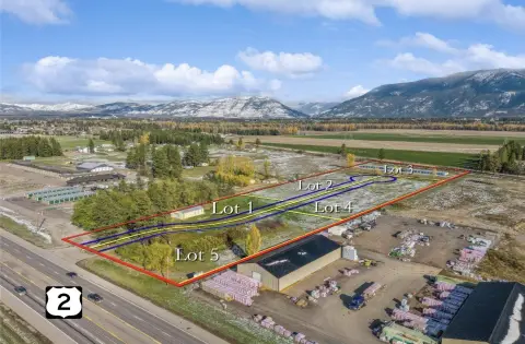
- 88.07‑acre site in Northwest Montana's industrial corridor.
- Dual CI‑1 and CI‑2 zoning allows for diverse industrial uses.
- Direct adjacency to BNSF and Amtrak lines offers potential rail spur access.
- City water and sewer are available.
- Ideal location for manufacturing, logistics, heavy equipment storage, or tech/data center operations.
- Scenic views of the Swan and Whitefish Mountain Ranges.
Overview
Current Use by Public Records
Map
- City
- Columbia Falls
- County
- Flathead
- State
- Montana
- Longitude
- -114.164393
- Latitude
- 48.389343