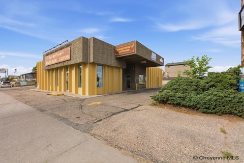
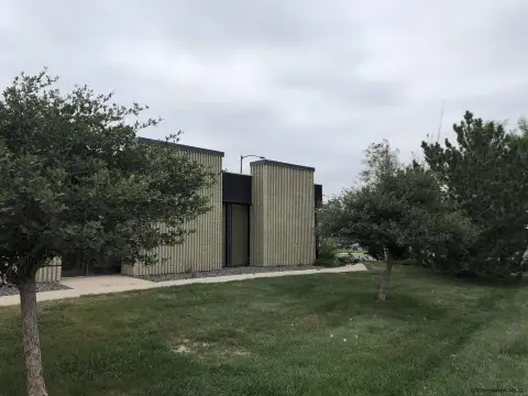
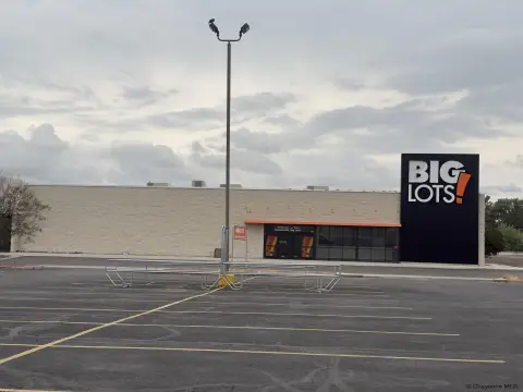
Drive-Through Ready Commercial
SWEETGRASS DR lot 9 Block 1 Cheyenne, WY 82007
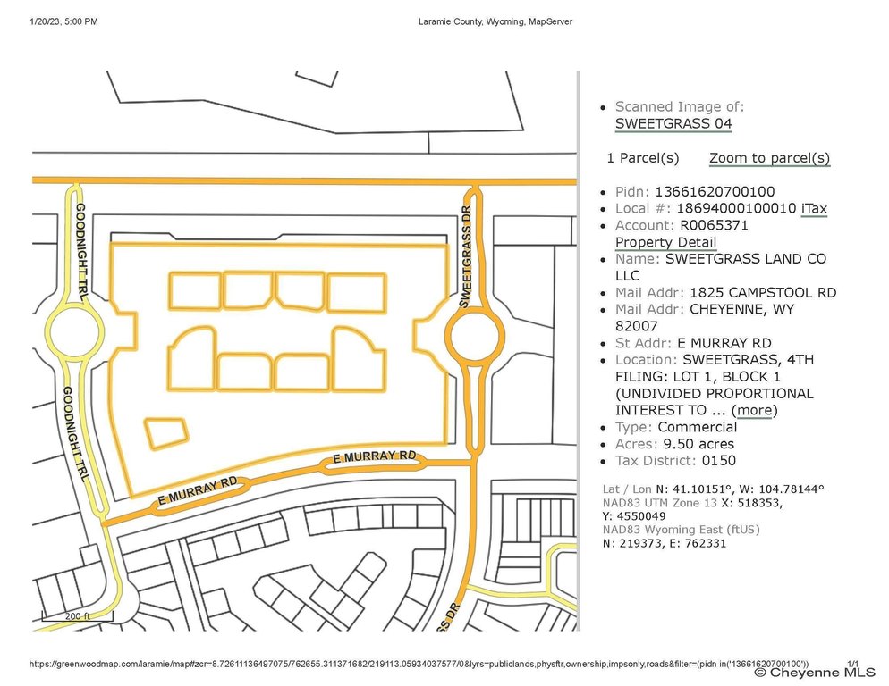
SWEETGRASS DR lot 9 Block 1, Cheyenne, WY, 82007
$937,282
For Sale
$937,282
COMMERCIAL - Cheyenne, WY
Lot Size0.44 Acres
Days on Market1277
Property Features for SWEETGRASS DR lot 9 Block 1
General Information
- Property type
- Commercial Sale
- Property subtype
- Other
- Standard status
- Active
- Lot size
- 0.44 Acres
Taxes and HOA fees
- Tax Description
- Sweetgrass 4th Filing LOT 9 BLOCK 3
Utilities
- Water source
- Public
Listing Agency
#1 Properties
(307) 634-2222
6106 Yellowstone Rd, Cheyenne, WY
Listed by
Jim Weaver · License #10624
(307) 630-5161
Added: Jan 20, 2023 Checked: Jul 20 at 10:06 am
MLS# 88686
Listing URL
Copyright © 2026 Cheyenne Board of Realtors. All rights reserved. All information provided by the listing agent/broker is deemed reliable but is not guaranteed and should be independently verified.
Investment Insights
Based on property information with market context.
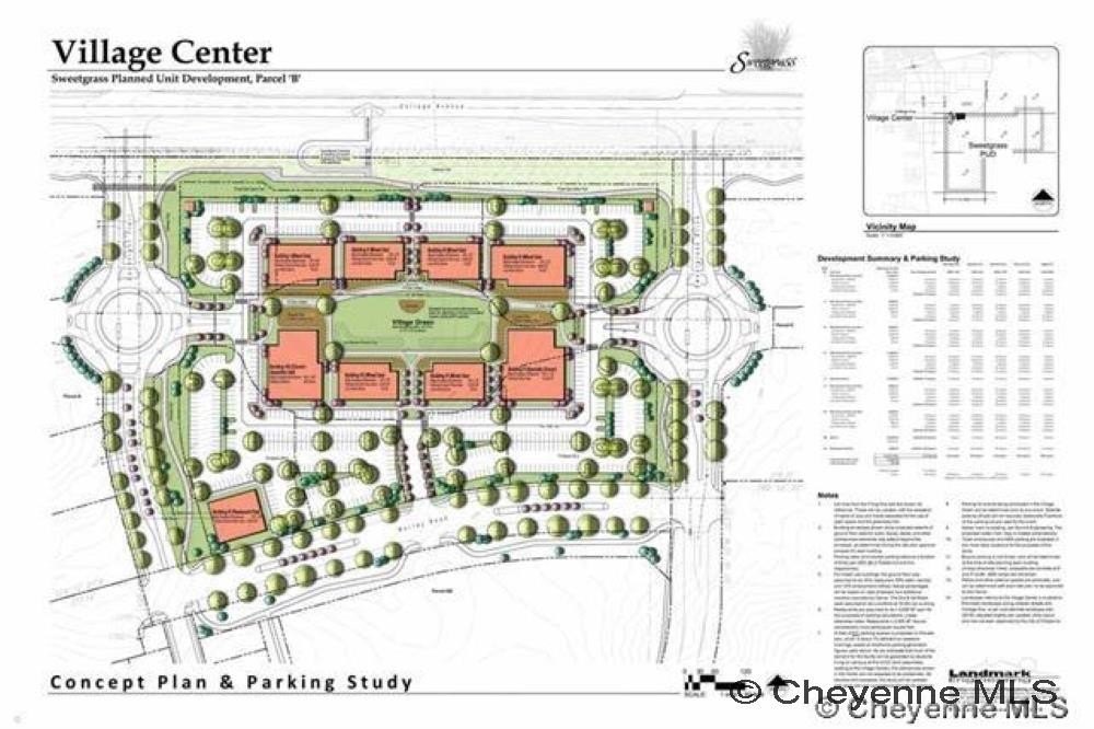
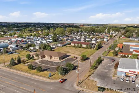
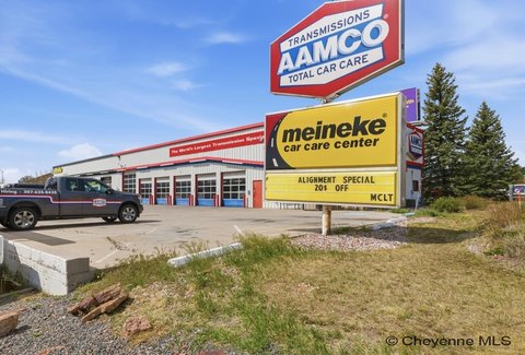
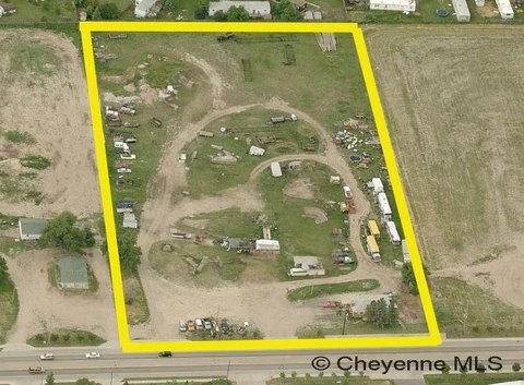
This listing offers shovel-ready commercial land comprising a 0.44-acre lot configured to support drive-through development. The site is positioned to accommodate drive-through functionality from the street, making it suitable for businesses that require convenient vehicle access.
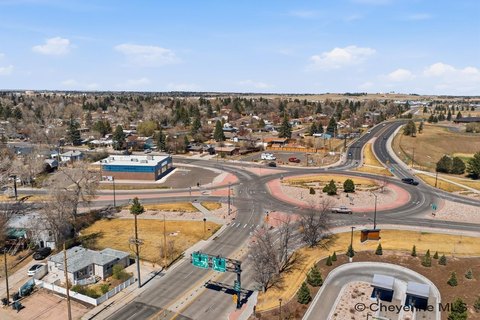
The property is located off College Blvd and is described as having approximately 9,000 ADT. The surrounding area includes residential neighborhoods with hike-and-bike trail access, and it is within the Cheyenne Greenway system. Nearby institutional and employment drivers cited in the remarks include Wyoming’s largest community college, F.E. Warren Air Force Base, state and U.S. government offices, Laramie County School District #1, and Cheyenne Regional Medical Center.
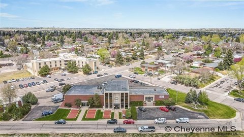
For tenants and developers, the drive-through capability and shovel-ready status can reduce the time required to begin site improvements. The remarks also point to a broader commercial and employment mix nearby, including Union Pacific Railroad and retail and employer presence such as Lowe’s, Sierra Trading Post, Wal-Mart Distribution Centers, and EchoStar, which can support a range of neighborhood- and regional-serving concepts depending on intended use and permitting.
The property is located off College Blvd and is described as having approximately 9,000 ADT. The surrounding area includes residential neighborhoods with hike-and-bike trail access, and it is within the Cheyenne Greenway system. Nearby institutional and employment drivers cited in the remarks include Wyoming’s largest community college, F.E. Warren Air Force Base, state and U.S. government offices, Laramie County School District #1, and Cheyenne Regional Medical Center.
For tenants and developers, the drive-through capability and shovel-ready status can reduce the time required to begin site improvements. The remarks also point to a broader commercial and employment mix nearby, including Union Pacific Railroad and retail and employer presence such as Lowe’s, Sierra Trading Post, Wal-Mart Distribution Centers, and EchoStar, which can support a range of neighborhood- and regional-serving concepts depending on intended use and permitting.
Key Highlights
- Shovel‑ready lots with drive‑thru capability, located off College Blvd
- Located on a roadway with 9,000 ADT
- Public water available
Property Analytics
Property Profile
Location Intelligence
Current Use by Public Records
Commercial land
Similar For Sale Nearby
FAQs
What type of property is this?
Commercial land - Shovel-ready commercial lots built for drive-through development with daily traffic counts and access to nearby Greenway trails.
Where is this commercial land located?
The property is located at SWEETGRASS DR lot 9 Block 1 Cheyenne, WY.
What is the asking price?
The asking price for this property is $937,282.
What are key features of this property?
This property features: Shovel‑ready lots with drive‑thru capability, located off College Blvd; Located on a roadway with 9,000 ADT; Public water available